Global Summit Guide logo featuring mountain imagery, symbolizing hiking and mountaineering resources for trip planning and safety.

Tag: climbing season

  • Aconcagua Expedition Update 2026-27: Season, Routes, Permits & Conditions

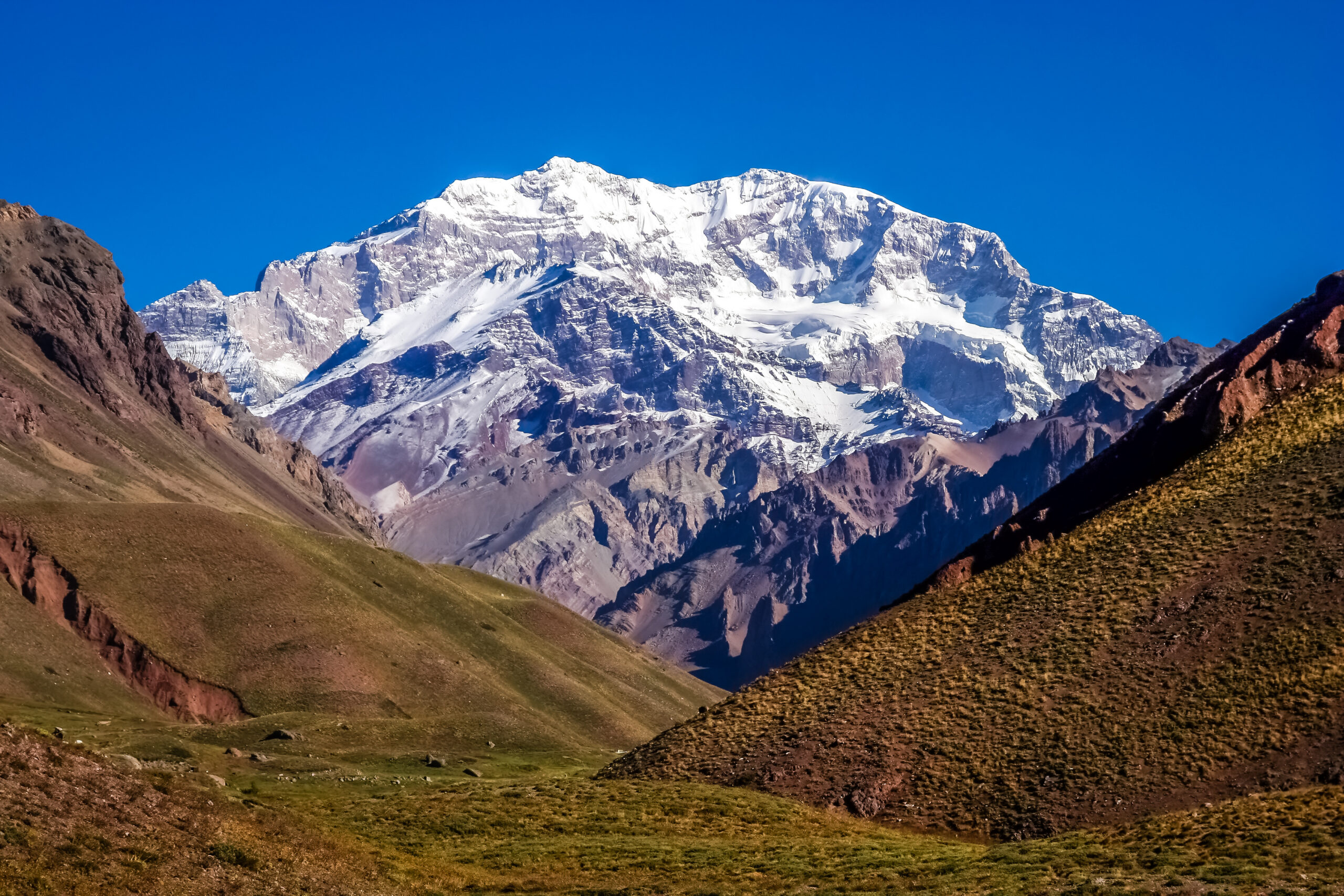
    Snow-covered Aconcagua mountain peak and surrounding landscape for climbing permits
    Aconcagua is 6,961 m (22,838 ft), the highest peak in the Americas, in Argentina’s Mendoza Province. This page tracks its season, with live weather below.
    Expedition Updates · Andes

    Aconcagua expedition update

    Where Aconcagua stands this season, plus the Ruta Normal and its alternatives, the Mendoza permit rules, the Viento Blanco, and what the 30 to 40 percent summit rate really reflects. A single-mountain page in our Expedition Updates directory. Elevations in metres (feet).

    Current status Off-season 6,961 m (22,838 ft)

    Off-season now. The next window opens in December.

    July is the austral winter in the Andes, so Aconcagua is off-season and no commercial expeditions are running. The climbing season is the austral summer, December to February, with January and February the peak months and some operators running into early March.

    That makes this a planning page rather than a live-conditions one. If you are aiming at the 2026-27 season, now is the right time to be building fitness, booking an operator, and reading the permit rules.

    6,961 m

    Summit (22,838 ft)

    The highest peak in the Americas, and the highest outside Asia.

    Dec to Feb

    Climbing season

    Austral summer; off-season now, next window from December.

    30 to 40%

    Summit rate

    Driven by altitude, wind, and preparation rather than technical difficulty.

    Aconcagua stands alone on the Andean crest in Mendoza Province, close enough to the road that people underestimate it and high enough that the mountain regularly corrects them. This page is the update view: where the peak sits in its calendar, the routes and camps, and the rules that shape a trip. For the full how-to on operators, gear, and itineraries, see our Aconcagua climb guide, and for the wider picture across ranges, the Expedition Updates dashboard.

    Current status and next window

    Where the mountain is today, and what to do about it.

    Right now Aconcagua is out of season. The Southern Hemisphere winter brings deep cold and heavy wind to the high Andes, the park is outside its normal climbing season, and the operators who run the mountain are between years. The season opens as the austral summer arrives: December sees the first expeditions, January and February carry the bulk of the traffic and the best conditions, and a few trips run into early March before the window closes again. Because a full expedition runs 18 to 22 days, planning for the 2026-27 season means committing months ahead, both for operator places and for the training that decides whether you summit.

    Planning horizon. Work backwards from a January or February summit: book an operator, then build the altitude and endurance base. Start with our Aconcagua progression plan, altitude acclimatization, and fitness standards, and size the budget with our expedition budget calculator.

    Routes and camps

    One non-technical standard line, plus the quieter alternatives.

    Ruta Normal (standard)

    The classic line, approached through the Horcones valley to the Plaza de Mulas base camp at about 4,300 m (14,100 ft). From there teams work up through high camps in acclimatization rotations to Colera, then climb the long, punishing Canaleta to the summit ridge. No roped technical climbing is required, which is exactly why the peak is underestimated: the difficulty is altitude, wind, and endurance.

    Polish Glacier and the 360 Traverse

    The Polish Glacier route enters via the Vacas valley to the Plaza Argentina base camp on the eastern side, a longer and quieter approach. The 360 Traverse combines the two valleys, ascending one side and descending the other for a fuller circuit of the mountain. Both carry a different permit rate from the Ruta Normal. For the full breakdown, see the Aconcagua climb guide.
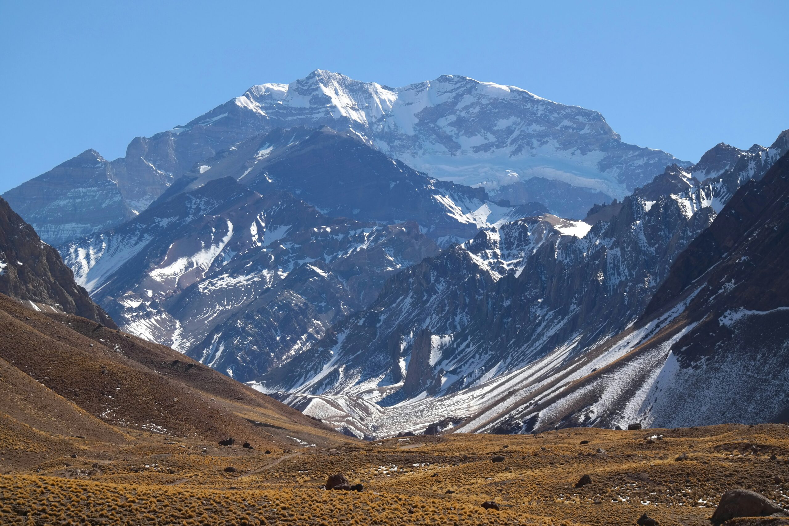
    Aconcagua mountain peak surrounded by rugged terrain and snow-capped summits, illustrating the challenges of high-altitude climbing in the Andes.
    Aconcagua expeditions run 18 to 22 days, most of it spent moving between camps on acclimatization rotations rather than climbing toward the summit.

    Weather and the Viento Blanco

    The wind is the mountain’s defining hazard. Here is a live read.

    Aconcagua sits high and isolated on the Andean crest, exposed to winds that arrive off the Pacific with nothing to slow them. The Viento Blanco, the white wind, is the local name for the violent storm that can strip a summit day out of an otherwise settled forecast, driving snow horizontally and dropping windchill to levels that end attempts within hours. Even in peak season, weather days are part of the itinerary rather than a contingency, and operators that build none into their schedule tend to report lower success. The live map below shows current wind and conditions for the massif; treat it as orientation, and rely on a dedicated expedition forecast in season.

    Live wind and weather for the Aconcagua massif. Source: Windy.com. For how to read it, see our mountain-weather guide.
    Aconcagua, in Mendoza Province, Argentina, near the Chilean border. Map: OpenStreetMap contributors.

    For a fuller explanation of reading a mountain forecast, see mountain weather for climbers.

    Permits and access

    Issued by Mendoza Province, priced by season and route.

    Every climber needs a permit from the Parque Provincial Aconcagua, issued by Mendoza Province and required to enter the park. It is mandatory, non-refundable, and priced by season, route, and nationality, with the high season commanding the top rate and unassisted climbers paying a surcharge over assisted ones. Rates are revised each year, and published figures vary between sources, so treat any number you read as indicative and confirm the current rate with the park before budgeting.

    Aconcagua permit, foreign climber, indicative only. Confirm current rates at aconcagua.mendoza.gov.ar.
    SourceReported high-season rate
    Our Aconcagua permits guide (2026)~$1,170 assisted / ~$1,640 unassisted
    Operator-reported figures~$800 to $1,000, higher on the Polish route
    Permit validityAround 20 days, enough for a full rotation schedule

    What the park expects

    • Permit before entry – bought through the Mendoza system, priced by season and route.
    • Minimum age and paperwork – climbers must be adults, with passport and any required medical documentation.
    • Authorised operators – assisted climbers work through companies licensed to operate in the park.
    • Rescue and conservation funding – the fee supports park facilities and the rescue service that covers the mountain.

    For the full permit picture, see our Aconcagua permits and fees guide, and for what a trip really costs once flights, gear, and tips are counted, our honest cost breakdown.

    What the summit rate reflects

    Roughly a third to two-fifths of climbers top out. The reason matters.

    Aconcagua’s overall summit rate sits around 30 to 40 percent, which surprises people who hear the Ruta Normal described as non-technical. The gap is not about difficulty of movement. It is about altitude and preparation: the summit stands at nearly 7,000 m, the Canaleta is a long grind on a body that has been at altitude for two weeks, and the wind can end a bid regardless of fitness. Compressed itineraries that cut acclimatization time correlate with lower success, so a cheap, short schedule is often a false economy. Climbers who arrive with prior high-altitude experience and a real training base do far better than the headline number suggests.

    âš  Non-technical is not the same as easy

    Aconcagua’s hazards are altitude illness, cold injury, and wind, not roped climbing. High-altitude cerebral and pulmonary oedema both occur here, and the descent from the Canaleta catches tired climbers. Build acclimatization time in, watch your team for symptoms, and be ready to go down. This page is not medical advice; check your risk with our AMS risk calculator and discuss altitude with a physician.
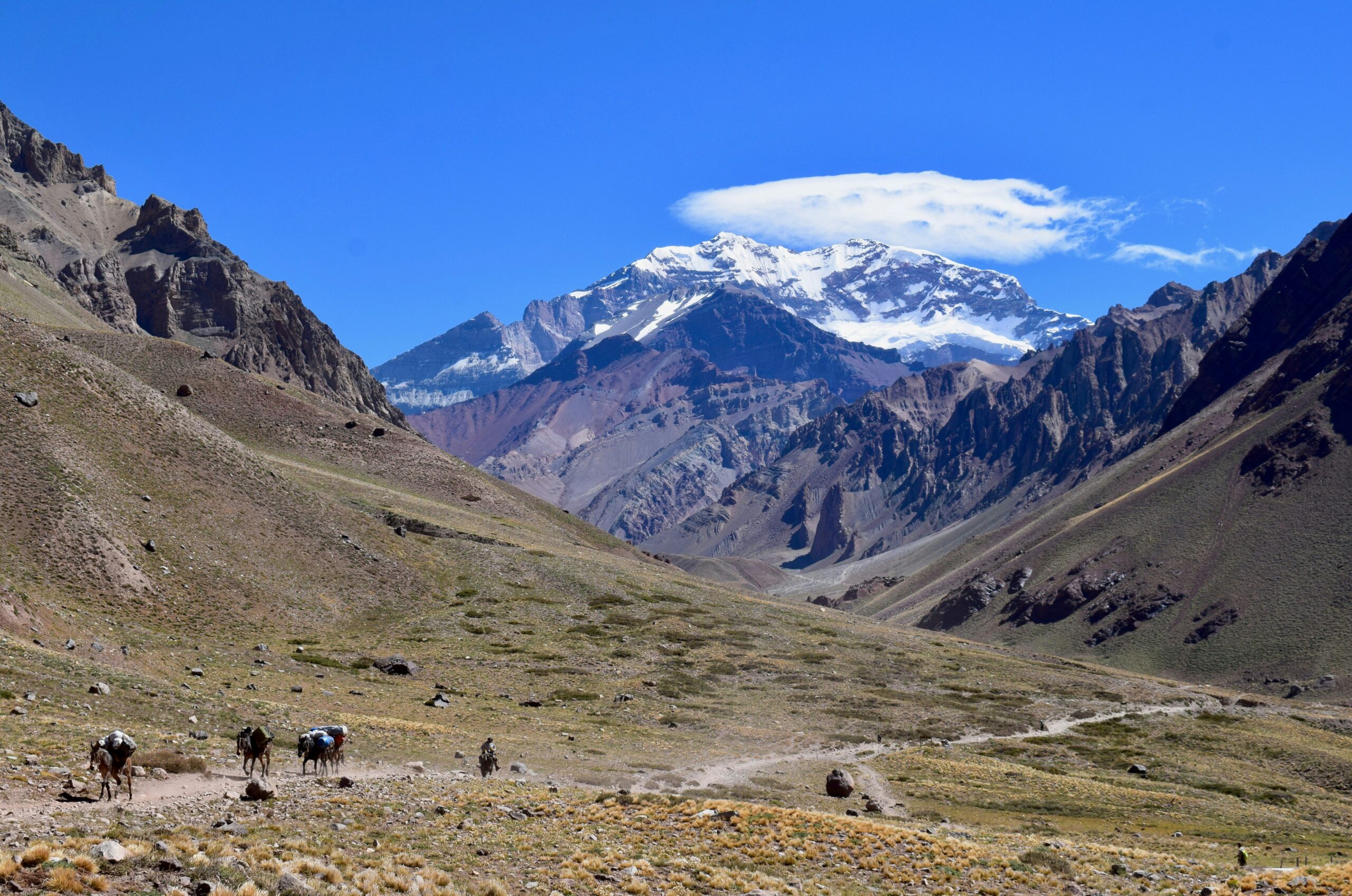
    Aconcagua mountain range with climbers and pack animals traversing a rocky trail in a high-altitude landscape.
    The summit stands near 7,000 m, and the last stretch through the Canaleta is where most attempts are decided.

    Aconcagua by the numbers

    The context behind a season, from grounded records.

    1897

    First ascent

    Matthias Zurbriggen, January 14, on the FitzGerald expedition.

    18 to 22

    Days on a trip

    Trek in, rotations, weather days, summit push, and descent.

    Seven Summits

    South America

    The continental high point, and a standard step before bigger peaks.

    Aconcagua is the usual proving ground before Himalayan objectives, and the natural comparison is with the other big introductory peaks. Our Aconcagua vs Denali vs Elbrus guide weighs them side by side, and the best mountains in South America covers the wider range. For a Peruvian objective at similar altitude, see Huascaran.

    Aconcagua update FAQ

    The questions planners ask most about timing, permits, and difficulty.

    When is the Aconcagua climbing season?

    December to February, the austral summer, with January and February the peak months. Some operators run into early March. July sits in the austral winter, so the mountain is off-season now and no commercial expeditions run. The next window is the 2026-27 season.

    How much is an Aconcagua permit?

    The permit is issued by the Parque Provincial Aconcagua in Mendoza Province and varies by season, route, and nationality. Our own permits guide puts the 2026 high-season rates at about $1,170 assisted and $1,640 unassisted, with an unassisted surcharge, while some operator sources quote figures nearer $800 to $1,000. Rates change every season, so confirm the current figure at aconcagua.mendoza.gov.ar before budgeting.

    What is the standard route on Aconcagua?

    The Ruta Normal, which climbs from the Horcones valley to the Plaza de Mulas base camp at about 4,300 m (14,100 ft), then through high camps to Colera and up the Canaleta to the summit. The Polish Glacier route from the Vacas valley via Plaza Argentina and the 360 Traverse are the main alternatives.

    How hard is Aconcagua?

    The Ruta Normal is non-technical, with no roped climbing required, but it is very high and very windy. The overall summit rate sits around 30 to 40 percent, and that gap reflects preparation and altitude rather than technical difficulty. Long days, thin air above 6,000 m, and the Viento Blanco turn most people back.

    How long does an Aconcagua expedition take?

    Typically 18 to 22 days, including the trek in, acclimatization rotations between camps, weather days, and the descent. Compressed schedules that cut acclimatization time correlate with lower success rates, so treat a short itinerary as a warning sign rather than a bargain.

    What is the current status of Aconcagua?

    As of July the mountain is off-season in the austral winter, and the park is outside its normal climbing season. Planning now means targeting the 2026-27 window from December onward. Check this page and the park authority for the latest before you book.

    📋 How this update is built

    This page is compiled by Travis Ludlow, Founder and Head of Research at Global Summit Guide, from Parque Provincial Aconcagua information, operator reporting, and published records, with sources named below. It was reviewed for safety by Dawson Ludlow, our Climbing & Mountaineering Lead (Wilderness First Aid), whose highest first-hand summit is Kilimanjaro. Our team has no first-hand ascent of Aconcagua, so we report cited records rather than personal anecdote. Where sources disagree, as they do on current permit rates, we show the range and point you to the park authority.

    Sources and further reading

    • Parque Provincial Aconcagua, Mendoza Province – permits, park regulations, and season dates.
    • Mendoza provincial park portal (aconcagua.mendoza.gov.ar) – official permit rates by season and route.
    • Authorised Mendoza operators – expedition itineraries, service levels, and 2026 pricing.
    • Published mountaineering records – the 1897 Zurbriggen first ascent on the FitzGerald expedition.
    • Our own Aconcagua climb guide, permits guide, and cost breakdown for full detail.
    • We report published figures and named sources rather than posting unverified live conditions.

    Planning the 2026-27 season?

    Start with the full Aconcagua climb guide, work through the progression plan, and read how to choose an expedition operator before you book, then compare teams in our operator directory. For flights and lodging around Mendoza, browse travel on Expedia.

    Disclosure: the Expedia link above is a sponsored affiliate link. We may earn a commission at no extra cost to you.

    Was this helpful?

    Yes
    No
    Thanks for your feedback!
  • Matterhorn 2026 Update: Rockfall, Guide Pauses & Season

    Matterhorn above Zermatt during the 2026 climbing season
    Matterhorn · 4,478 m · 2026 season · Hörnli Ridge · Lion Ridge · rockfall · rescue

    Matterhorn 2026 Expedition Update: Rockfall, Guide Pauses & Season Status

    The 2026 Matterhorn season remains active on the calendar, but August brought a major new warning signal. On August 5, a large rockfall occurred on the mountain’s south side, and reporting on August 6 said the Italian Società Guide del Cervino suspended guided Matterhorn ascents until further notice because of the rockfall and repeated unstable weather. That does not establish a Swiss-side Hörnli closure. ZERMATTERS still lists Matterhorn ascents from mid-July to mid-September when route and summit conditions permit, so Swiss-side operation must be confirmed directly for the intended day.

    Swiss and Italian sides separated Official accident reporting Dated season events No live-clearance claim

    Last reviewed August 19, 2026 · current-season news + ZERMATTERS + Valais Police + Air Zermatt

    Aug. 5Major south-side rockfall
    Italian pauseGuided ascents suspended after rockfall
    July 12Two climbers died on Hörnli descent
    Mid-Jul–Mid-SepZERMATTERS scheduled season
    03:30Hörnlihütte organized start
    By Travis Ludlow · Founder & Head of Research · Safety review: Dawson Ludlow
    Season-update page · current route clearance still requires same-day local confirmation
    Status as of August 19, 2026

    What is happening on the Matterhorn this season?

    The most important current development is the August 5 rockfall on the south/Italian side. German climbing publication ALPIN reported on August 6 that the Italian Società Guide del Cervino had suspended all guided Matterhorn ascents until further notice, citing both the rockfall and a run of unstable weather with repeated thunderstorms.

    That report applies to the Italian guide operation and should not be silently converted into a whole-mountain closure. On the Swiss side, ZERMATTERS continues to publish the Hörnli Ridge as a daily mid-July-to-mid-September objective when route and summit conditions permit. Its public booking page does not prove that a specific August 19 ascent is operating, so climbers must confirm same-day guide and ridge status in Zermatt.

    The season has also included a fatal July 12 accident on the Hörnli Ridge. Valais Cantonal Police confirmed that two climbers fell during descent at roughly 4,030 m; they were later identified as a 37-year-old Belarusian national and a 32-year-old Israeli national. Air Zermatt also reported additional Matterhorn rescues the same day involving climbers who could no longer continue under their own power.

    • Italian side: guided ascents reported suspended after Aug. 5 rockfall.
    • Swiss side: seasonal guide program remains published; confirm actual daily operation.
    • Hörnlihütte: inside its normal staffed summer season.
    • July 12: two fatal falls during Hörnli descent.
    • Weather: unstable episodes and thunderstorms remain operational concerns.
    • Final decision: local guide + hut + current forecast + route observation.
    This is a season update, not a route clearance. A rockfall report, an open hut, a published guide calendar and a favorable weather app are four different signals. For the technical Swiss-side route dashboard, use Matterhorn Hörnli Ridge Current Conditions.
    Dated status, not implied certainty

    Matterhorn 2026 Season Dashboard

    Each line has a different evidence level. Do not treat one side of the mountain as proof of the other.

    Italian guided ascentsReported suspended after the Aug. 5 south-side rockfall and unstable weather. Reconfirm before using the Lion Ridge.
    Swiss Hörnli scheduleZERMATTERS still publishes mid-July to mid-September ascents, subject to route and summit conditions.
    HörnlihütteInside its normal staffed summer season; hut operation does not establish route safety.
    Recent accident signalTwo climbers died July 12 during descent near 4,030 m on the Hörnli Ridge.
    Start systemZERMATTERS confirms the organized approximately 03:30 starting order from the Hörnlihütte.
    Guide ratioStandard Matterhorn product: one participant per mountain guide.
    Typical guided timingApproximately four hours up and four hours back to the Hörnlihütte in suitable conditions.
    Same-day ridge conditionNot safely inferable from public seasonal pages. Verify locally.
    Matterhorn at sunrise above Zermatt during the summer climbing season
    2026 season timeline

    The story of this season is changing route risk—not a simple “open” or “closed” label.

    Hut opening, fatal accidents, rescue activity and the August rockfall are separate milestones that affect how the season should be interpreted.

    Hörnlihütte enters the staffed summer season

    The Hörnlihütte opened for its 2026 summer operation, creating the normal Swiss-side base for Hörnli Ridge attempts. Hut opening establishes logistics—not whether the ridge itself is dry, stable or guided on a particular day.

    Two climbers die during descent on the Hörnli Ridge

    Valais Cantonal Police reported that a two-person rope team fell at approximately 4,030 m while descending the Hörnli Ridge. The two men were later identified as a 37-year-old Belarusian and a 32-year-old Israeli national.

    Air Zermatt handles multiple high-altitude rescue calls

    Air Zermatt reported several demanding rescue missions around Zermatt on the same day. After the fatal Matterhorn fall, a witness was evacuated; later, two more climbers stranded above 4,100 m on the Matterhorn were removed by longline after they could no longer continue and had run out of drinks.

    South-side rockfall triggers Italian guide suspension

    ALPIN reported that a major rockfall occurred on the Matterhorn’s south face on August 5. The next day it reported that the Italian Società Guide del Cervino had suspended guided ascents until further notice, citing the rockfall and repeated unstable weather with thunderstorms.

    Season remains active, but status must be checked by side

    ZERMATTERS still publishes the Swiss Hörnli ascent as a mid-July-to-mid-September objective when conditions permit. No public source reviewed here establishes that the Italian suspension automatically applies to the Swiss Hörnli Ridge.

    The August event changes the season narrative

    August 5 Rockfall: What We Know—and What We Do Not

    The key is to avoid turning an Italian-side guide decision into an unsupported whole-mountain closure claim.

    QuestionSupported answer
    Did a major rockfall occur?Yes. ALPIN reported a significant August 5 event on the Matterhorn’s south face.
    Did Italian guides respond?Yes. The Società Guide del Cervino was reported to have suspended guided ascents until further notice.
    Was weather also a factor?Yes. The report cited repeated unstable weather and thunderstorms.
    Does that prove the Hörnli Ridge is closed?No. The report concerns the Italian guide operation; Swiss-side status requires separate confirmation.
    Does the rockfall prove a permanent route change?No permanent route-change bulletin was located in the sources reviewed.

    Why this matters for climbers

    Rockfall on one face is not only a “route detail.” It is a season-level signal that warm cycles, unstable weather and mountain structure can change faster than a booking calendar. A professional guide pause should be treated as a reason to reassess—not as an opportunity to find an uncrowded route.

    July 12, 2026

    Fatal Hörnli Ridge Descent Accident

    The official police report confirms the location, direction of travel and identities; it does not establish a final causal explanation.

    Valais Cantonal Police reported that at about 11:00 on July 12, two climbers were descending the Hörnli Ridge when they fell at approximately 4,030 m. Rescue personnel reached the scene by Air Zermatt helicopter but could only confirm the deaths. A later police update identified the climbers as a 37-year-old Belarusian national and a 32-year-old Israeli national.

    Do not over-interpret the accident. The official report said the reason for the fall was not yet known. This page therefore does not attribute the deaths to weather, rockfall, exhaustion, equipment, guide status or a specific technical mistake unless a later official investigation establishes it.

    The event nevertheless reinforces one enduring Matterhorn planning fact: the descent is still technical, exposed and time-sensitive after the summit has already consumed much of the team’s physical and cognitive reserve. Use the Matterhorn Difficulty & Safety guide for the broader risk framework.

    Rescue activity is another season signal

    Air Zermatt’s July 12 Rescue Load

    A busy rescue day does not create a mortality rate, but it shows how quickly small operational failures can become helicopter problems.

    Matterhorn eventAir Zermatt reportingPlanning lesson
    Fatal rope-team fallTwo climbers died near the Solvay area; a witness was evacuated in shock.Descent terrain remains consequential even late in a successful summit day.
    Evening rescue above 4,100 mTwo climbers could no longer continue and had run out of drinks; both were evacuated by longline.Time, hydration and reserve capacity matter before the descent is finished.

    These are individual incidents, not evidence for a newly calculated “2026 Matterhorn rescue rate.” Exposure counts, route populations and rescue thresholds are not publicly synchronized well enough for that kind of percentage.

    One mountain · two operating systems

    Swiss Hörnli and Italian Lion Ridge status must be checked separately.

    The August guide suspension was reported on the Italian side. Do not infer an automatic Swiss closure without a Swiss source.

    SideMain routeAug. 19 evidenceWhat to do
    Switzerland / ZermattHörnli RidgeZERMATTERS continues to publish daily mid-July-to-mid-September ascents when conditions permit.Confirm actual guide operation, ridge surface, wind and rockfall status directly in Zermatt.
    Italy / CerviniaLion RidgeItalian guided Matterhorn ascents were reported suspended after the Aug. 5 south-face rockfall and unstable weather.Confirm whether the suspension has been lifted before making a Lion Ridge plan.

    ZERMATTERS currently describes the standard Swiss ascent as one climber per guide, approximately four hours from the Hörnlihütte to the summit and four hours back, with a fixed starting order around 03:30. Those are stable operating-framework facts; they are not proof of current rock or weather condition.

    What remains of the 2026 summer window

    Late August to Mid-September Outlook

    The scheduled season continues, but the margin changes as days shorten and the probability of fresh snow increases.

    PeriodSeason-level expectationCurrent-season caution
    Late AugustStill inside the core guided period; often strong summer rock climbing when dry.Reconfirm whether recent rockfall or unstable weather has changed guide operations.
    Early SeptemberStill inside ZERMATTERS’ normal guided season.Shorter daylight and fresh-snow episodes can change the ridge rapidly.
    Mid-SeptemberScheduled summer season approaches its end.Hut, lift and guide systems become less dependable after the core season.

    For climatology and month-by-month timing, use Matterhorn Weather & Best Season. For what the ridge is doing now, use Hörnli Ridge Current Conditions.

    Before you leave Zermatt or Cervinia

    Six Signals That Matter More Than “The Season Is Open”

    A useful current-season page should help the climber verify change rather than merely repeat the normal calendar.

    Guide operation

    Are local guides actually taking clients on your chosen ridge today?

    Recent rockfall

    Where did it occur, and have guides changed or paused the route because of it?

    Fresh snow / verglas

    Has a storm changed the ridge from dry rock to mixed climbing?

    Wind

    Is summit-ridge wind compatible with exposed movement and communication?

    Hut & lift status

    Are the logistical systems operating normally for the intended start?

    Preparation result

    Did the guide assessment confirm the required pace and technical readiness?

    Descent margin

    Can the team return before fatigue, weather and daytime warming increase exposure?

    Side-specific status

    Do not use an Italian guide decision as a Swiss status bulletin—or vice versa.

    Use the right page for the right decision

    Where to Get Each Matterhorn Answer

    The 2026 update, conditions report and evergreen weather guide now answer different questions.

    2026 Expedition UpdateSeason timeline, major incidents, guide pauses, rescue events and what changed this year.
    Hörnli Current ConditionsSwiss-side route status, snow/ice, rockfall, fixed equipment, guide operation and same-day verification questions.
    Weather & Best SeasonEvergreen month-by-month season timing, Föhn, thunderstorms, freezing level and trip planning.

    The update page should change only when the season changes.

    Use this URL for meaningful 2026 events—accidents, guide suspensions, major rockfall, route-opening changes or end-of-season developments—not for repeating every forecast cycle.

    Two useful next steps

    Check the Mountain, Then Check the Team

    Current route condition and climber readiness are separate go/no-go filters.

    Route status

    Hörnli Ridge Current Conditions

    Use the conditions report for snow, verglas, rockfall, guide operation and the latest route-verification questions.

    Open Conditions →
    Readiness

    Matterhorn Training Plan

    A favorable route cannot compensate for a climber who cannot maintain the pace or technical movement required for the descent.

    Open Training Plan →
    Direct 2026 answers

    Matterhorn 2026 Expedition FAQ

    These answers are date-sensitive and should be rechecked as the season changes.

    Is the Matterhorn open for climbing in August 2026?

    The mountain cannot be summarized with one whole-mountain “open” label. ZERMATTERS continues to publish Swiss Hörnli ascents from mid-July to mid-September when conditions permit. On the Italian side, guided Matterhorn ascents were reported suspended after an August 5 south-face rockfall and unstable weather. Confirm the status of your exact ridge before climbing.

    What happened on the Matterhorn on August 5, 2026?

    ALPIN reported a major rockfall on the Matterhorn’s south face. On August 6 it reported that the Italian Società Guide del Cervino had suspended guided Matterhorn ascents until further notice, citing both rockfall and unstable weather with repeated thunderstorms.

    Is the Hörnli Ridge closed?

    No whole-route Swiss closure is claimed here. The August guide suspension was reported on the Italian side. ZERMATTERS still publishes Hörnli ascents in its normal seasonal window, but actual daily operation and route condition must be confirmed directly in Zermatt.

    Have there been Matterhorn deaths in 2026?

    Yes. Valais Cantonal Police confirmed that two climbers died on July 12 after falling during descent on the Hörnli Ridge at about 4,030 m. The official report did not establish the cause of the fall.

    Were there other Matterhorn rescues in July 2026?

    Yes. Air Zermatt reported that later on July 12 two mountaineers stranded above 4,100 m could no longer continue and had run out of drinks; they were evacuated by longline.

    When does the 2026 Matterhorn season end?

    ZERMATTERS publishes its standard Matterhorn ascent season from mid-July to mid-September, depending on route and summit conditions. Hut, lift and guide operations become less dependable after the main summer window.

    What is the normal Hörnlihütte start time?

    ZERMATTERS describes an organized starting order at approximately 03:30, with Zermatt guides and guests first, outside guides with guests second, and unguided rope teams afterward.

    Where should I check the latest Matterhorn conditions?

    Use Global Summit Guide’s dated Hörnli Ridge Current Conditions report, then confirm the latest route status directly with ZERMATTERS or your guide, the Hörnlihütte, current mountain forecasts and local lift/webcam information.

    Sources & methodology

    How This 2026 Season Update Is Verified

    Official authorities establish accidents and standard operations; dated reporting describes temporary guide decisions and major season events.

    Primary/current sources

    Reporting rules

    • Keep Italian and Swiss guide operations separate.
    • Do not call hut opening a route-clearance bulletin.
    • Do not assign a cause to an accident when police have not established one.
    • Use this page for major 2026 events, not daily weather fluctuations.
    • Use the Hörnli conditions page for route-operation questions.
    • Recheck temporary guide suspensions before presenting them as current.

    Current reporting limit

    No public source reviewed on August 19 established a universal whole-Matterhorn closure or confirmed same-day Swiss Hörnli operation. The strongest accurate statement is therefore side-specific: Italian guided ascents were reported suspended after the August 5 rockfall; Swiss seasonal ascents remain published subject to conditions and need direct confirmation.

    The 2026 Matterhorn season takeaway

    The Calendar Is Still Open. The Mountain Has Sent New Warning Signals.

    The July fatal descent accident, rescue activity and August south-face rockfall make this a season that demands side-specific, same-day verification. Use the update history for context, the Hörnli conditions report for the Swiss route, and the local guide’s decision for the actual climb.

    Was this helpful?

    Yes
    No
    Thanks for your feedback!
  • Mount Rainier Expedition Update 2026: Season, Disappointment Cleaver, Permits & Conditions

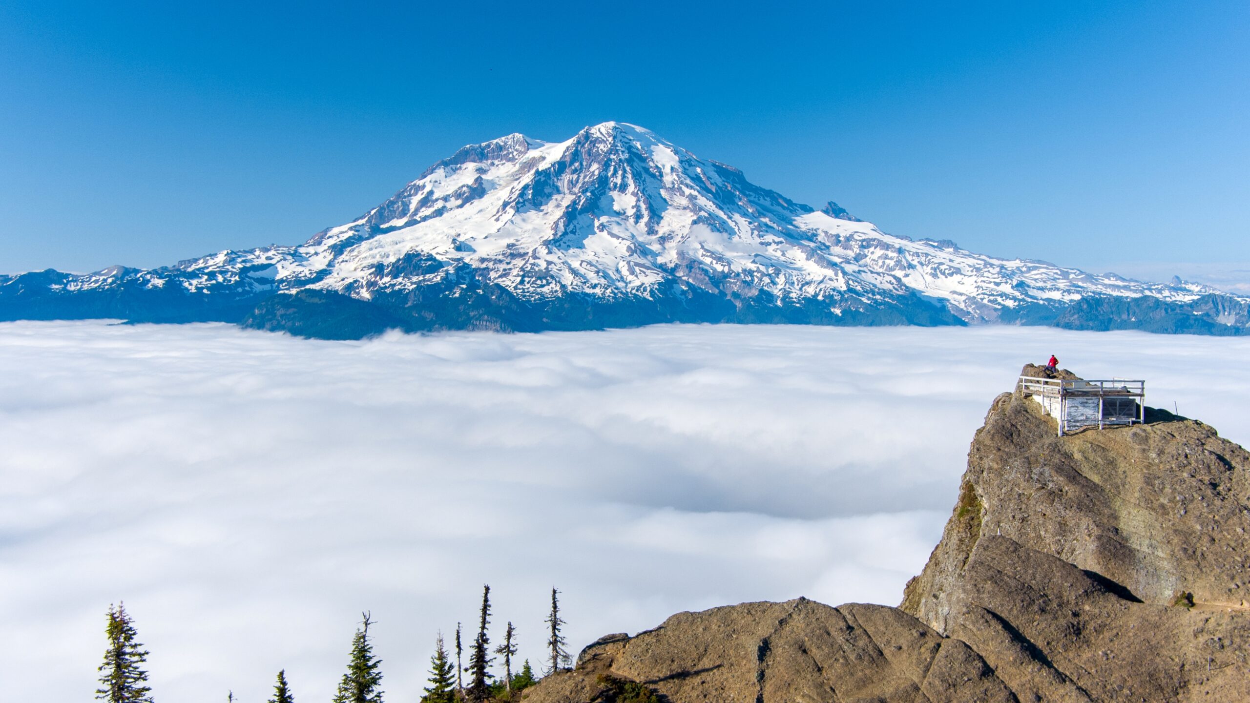
    Mount Rainier summit above cloud layer, snow-covered peak and rocky outcrop
    Mount Rainier is 14,411 ft (4,392 m), the most heavily glaciated peak in the contiguous US. This page tracks its season, with live weather below.
    Expedition Updates · Cascades

    Mount Rainier expedition update

    Where Rainier stands this season, plus the Disappointment Cleaver route, the NPS climbing permit, glacier hazards, and safety. A single-mountain page in our Expedition Updates directory. Elevations in feet (metres).

    Current status In season 14,411 ft (4,392 m)

    In season now. Peak summer conditions.

    Rainier’s climbing season runs late June through early September, and late July sits in the prime window. The standard Disappointment Cleaver route is being climbed and guided daily, though the exact line shifts week to week as crevasses open, so late-July conditions differ from late August.

    Rainier is a serious glacier climb, not a walk-up: a summit success rate near 50 percent, about 9,000 ft of gain, and its own violent weather. It is the classic first big glacier climb for American mountaineers, and the training ground for Denali and beyond.

    14,411 ft

    Summit (4,392 m)

    The most heavily glaciated peak in the contiguous US.

    Jun to Sep

    Climbing season

    In season now; the peak window is July and August.

    ~50%

    Summit rate

    Weather and crevasse conditions turn many teams back.

    Rainier rises alone above the Cascades southeast of Seattle, an active, ice-clad stratovolcano with more than two dozen glaciers. This page is the update view: where the mountain sits in its season, the route, and the rules that matter. For the full how-to on operators, cost, gear, and preparation, see our Mount Rainier climb guide and routes guide, and for the wider picture, the Expedition Updates dashboard.

    Current status and the season

    Where the mountain is today, and how the window works.

    Right now Rainier is in the heart of its season. Guide services are running Disappointment Cleaver programs daily, and independent teams are moving through Camp Muir for midnight summit pushes. The window runs from late June, once the upper mountain has consolidated, through early September, when opening crevasses, rockfall, and retreating snow bridges make the standard route harder and guide services begin winding down. The catch on Rainier is that the route is a living thing: the exact line through the Ingraham Glacier and over the Cleaver changes across the summer, so a report from late July is not a description of late August.

    Planning horizon. Reserve your climbing permit and any overnight camps through recreation.gov well ahead, and build glacier skills and fitness first. Start with our Rainier progression plan, fitness standards, and glacier travel basics.

    The Disappointment Cleaver

    The standard route, and the main alternative.

    Disappointment Cleaver (standard)

    From Paradise at 5,400 ft, the route climbs the Muir Snowfield to Camp Muir at 10,080 ft (3,072 m), where teams rest before a midnight start. Above Muir it crosses the Cowlitz Glacier, traverses the Ingraham Glacier, and climbs the rocky Cleaver rib to the upper mountain and the crater rim. Summit day is roughly 4,500 to 5,500 ft of gain. This is the most climbed and most guided line, and the exact path shifts as crevasses open through the season.

    Emmons Glacier (main alternative)

    On the northeast side, the Emmons-Winthrop route climbs from the White River trailhead to Camp Schurman, then up the broad Emmons Glacier. It is less crowded than the Cleaver and a fine objective for teams with solid glacier skills. For the full route breakdown, see the Mount Rainier routes guide.

    Climbers roped up on a glacier high on Mount Rainier
    Rainier is roped, crevassed glacier travel from Camp Muir up: crampons, ice axe, and rope-team skills are the price of entry.

    Weather and conditions

    Rainier makes its own weather. Here is a live read.

    Rainier is tall enough and close enough to the Pacific to generate its own storms, and the summit can be socked in while the lowlands are clear. Cloud caps over the peak are a classic warning sign. Even in peak season, a forecast window can close fast, which is one reason the summit rate stays near half. The live map below shows current wind and conditions for the massif; use it as a starting point and rely on the National Park Service ranger blog and a dedicated forecast for any real decision.

    Live wind and weather for the Mount Rainier massif. Source: Windy.com. For how to read it, see our mountain-weather guide.
    Mount Rainier, southeast of Seattle in the Washington Cascades. Map: OpenStreetMap contributors.

    For a fuller explanation of reading a mountain forecast, see mountain weather for climbers, and check avalanche awareness for climbers for early and late-season snow.

    Permits and access

    The NPS rules every Rainier climber works within.

    Mount Rainier is a national park, and climbing above the glaciers is permitted and reserved. A climbing permit is required for glacier travel or travel above about 10,000 ft, booked through recreation.gov, and overnight camps such as Camp Muir are managed through the wilderness reservation system. The permit funds the ranger and rescue program on the mountain.

    Mount Rainier climbing costs, 2026 (indicative; confirm current rates via recreation.gov).
    Item2026 cost
    Climbing permit (per climber)~$61
    Park entrance feeAdditional, per vehicle
    Guided Disappointment Cleaver program~$1,400 to $2,800

    What you need to climb

    • Climbing permit – reserved on recreation.gov for glacier travel or above ~10,000 ft.
    • Overnight reservation – Camp Muir, Ingraham Flats, or Camp Schurman via the wilderness system.
    • Glacier competence – crampons, ice-axe self-arrest, a rope team of three or more, and crevasse rescue.
    • A helmet – rockfall on the Cleaver is a real hazard, especially later in the day.

    Safety and hazards

    Why Rainier is respected, and where the risk sits.

    Rainier’s hazards are glacier and weather driven: crevasse falls, collapsing snow bridges, serac fall on the Disappointment Cleaver, rockfall as the day warms, avalanches early and late in the season, and storms that build fast. The mountain has caused around 100 deaths since 1897, averaging four to six climbers a year, and the 1981 serac collapse on the Cleaver killed 11, still the worst single mountaineering accident in US history. The protective habits are the usual ones: move early, rope up, carry rescue gear and know it, and turn around when the weather or the clock says so.

    âš  A glacier climb, not a hike

    Above Camp Muir, Rainier is crevassed glacier the whole way, with overhead serac hazard on the Cleaver. Roped travel and practiced crevasse rescue are non-negotiable, and helmets matter. This page is not medical or safety advice; build your skills with our glacier travel basics and acclimatization guides and a qualified guide.

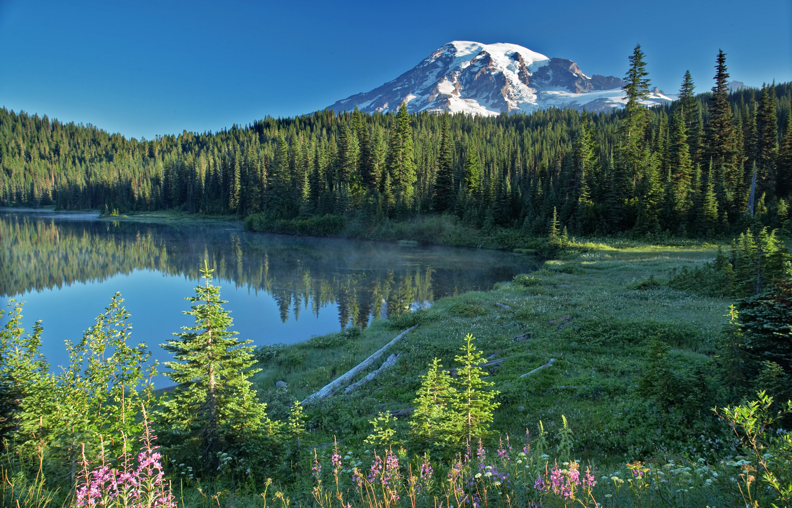
    Mount Rainier reflecting in a lake, surrounded by evergreen forest and alpine vegetation.
    Rainier stands alone above the Cascades and is the standard first big glacier climb for American mountaineers, and a proving ground for bigger peaks.

    Rainier by the numbers

    The context behind a single season, from grounded records.

    1870

    First verified ascent

    Hazard Stevens and Philemon Van Trump, August 17.

    ~9,000 ft

    Route gain

    Paradise to summit via Camp Muir and the Cleaver.

    25+

    Glaciers

    The most heavily glaciated peak in the contiguous US.

    Rainier is the standard training peak for bigger glaciated objectives. Our Rainier progression plan lays out the build-up, the Cascade Volcanoes collection covers its neighbours, and for climbers eyeing Alaska, Rainier is the classic step before Denali.

    Rainier update FAQ

    The questions climbers ask most about timing, permits, and conditions.

    When is the Mount Rainier climbing season?

    Late June through early September, with July and August the peak window, and the mountain is in season now. The Disappointment Cleaver line shifts through the summer as crevasses open and guides re-route, so conditions in late July differ from late August. Early and late in the season carry more avalanche and rockfall risk.

    Do I need a permit to climb Mount Rainier?

    Yes. A climbing permit is required for glacier travel or travel above about 10,000 ft, reserved through recreation.gov, and it runs around $61 per climber for 2026 plus the park entrance fee. Overnight camps such as Camp Muir are managed through the wilderness reservation system. Fees and reservation rules change, so confirm current details with the National Park Service.

    What is the standard route on Rainier?

    The Disappointment Cleaver, climbed from Paradise at 5,400 ft up the Muir Snowfield to Camp Muir at 10,080 ft (3,072 m), then across the Cowlitz and Ingraham Glaciers and up the Cleaver to the crater rim. It is the most climbed and most guided line. The Emmons Glacier via Camp Schurman is the main alternative on the northeast side.

    How hard is Mount Rainier to climb?

    It is a serious glacier climb, not a hike: roughly 9,000 ft of gain over about 15 miles round trip, with a summit success rate near 50 percent because weather and conditions turn many teams back. It demands crampons, practiced ice-axe self-arrest, rope-team travel, and crevasse-rescue skill, which is why it is the classic first big glacier climb for American mountaineers.

    Do I need a guide for Mount Rainier?

    First-time climbers are strongly advised to go with a guide service such as RMI, IMG, or Alpine Ascents, or with an experienced team. Guided Disappointment Cleaver programs run three to five days and cost roughly $1,400 to $2,800, including guiding, group gear, and hut access. Independent climbers need proven glacier skills and their own rescue capability.

    What is the current status of Rainier?

    As of late July the 2026 season is in full swing and the mountain is in season. Conditions on the Disappointment Cleaver change week to week as crevasses open through the summer. Check the National Park Service ranger climbing blog and the Northwest Avalanche Center, plus this page, before you commit to a plan.

    📋 How this update is built

    This page is compiled by Travis Ludlow, Founder and Head of Research at Global Summit Guide, from US National Park Service data, the ranger climbing blog, and published season reporting, with sources named below. It was reviewed for safety by Dawson Ludlow, our Climbing & Mountaineering Lead (Wilderness First Aid), whose highest first-hand summit is Kilimanjaro. Where our team has no first-hand experience of Rainier, we report the cited records rather than personal anecdote, and we confirm fees and rules against the NPS.

    Sources and further reading

    • US National Park Service, Mount Rainier – climbing permits, the ranger climbing blog, and route conditions.
    • Recreation.gov – Mount Rainier climbing permit and wilderness camp reservations.
    • Northwest Avalanche Center – Cascade snowpack and avalanche forecasts.
    • Our own Mount Rainier climb guide and Mount Rainier routes guide.
    • We report published figures and named sources rather than posting unverified live conditions.

    Planning a Rainier climb?

    Start with the full Mount Rainier climb guide, work through the Rainier progression plan, and read how to choose an expedition operator before you book a guide service. For flights and lodging around Seattle and Ashford, browse travel on Expedia.

    Disclosure: the Expedia link above is a sponsored affiliate link. We may earn a commission at no extra cost to you.

    Was this helpful?

    Yes
    No
    Thanks for your feedback!
  • Denali Expedition Update 2026: Season, West Buttress, Permits & Conditions

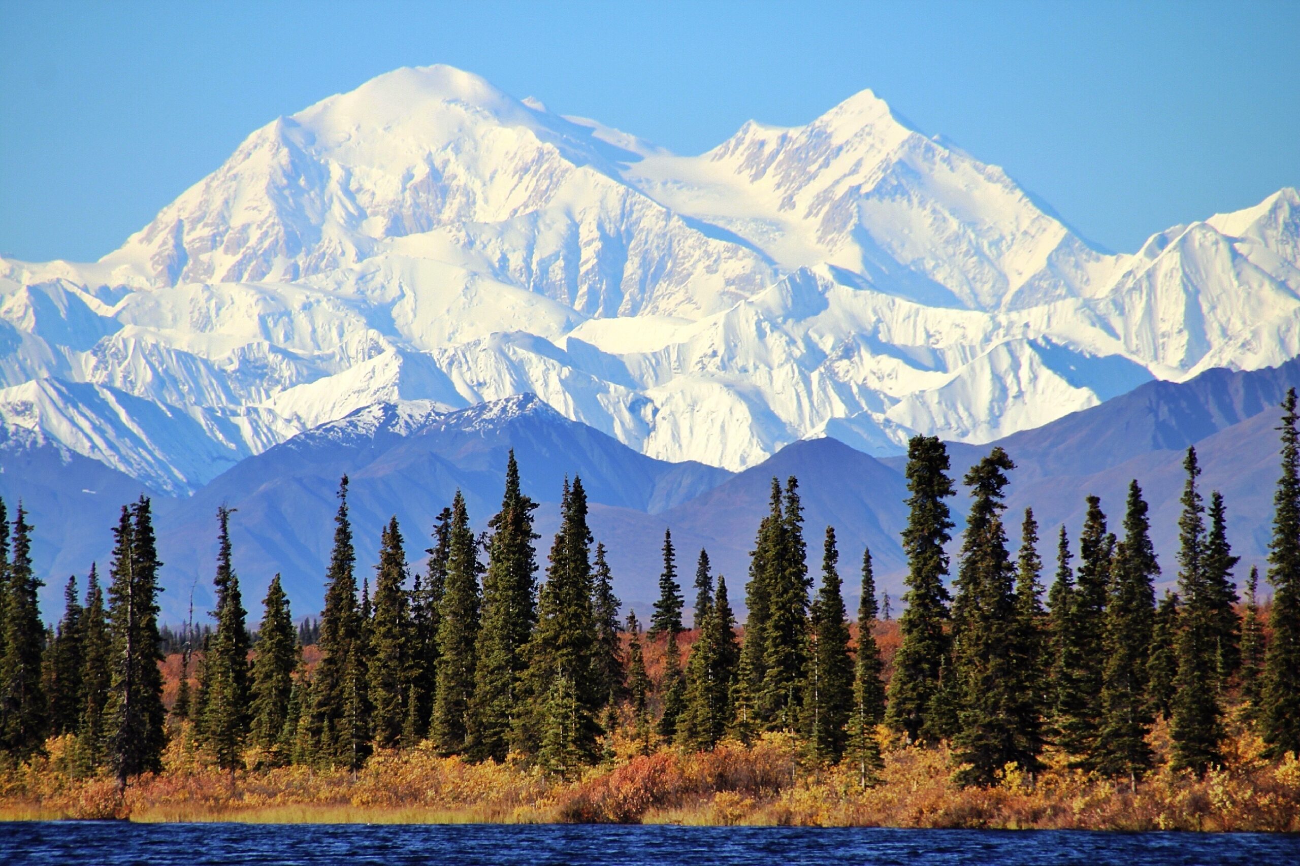
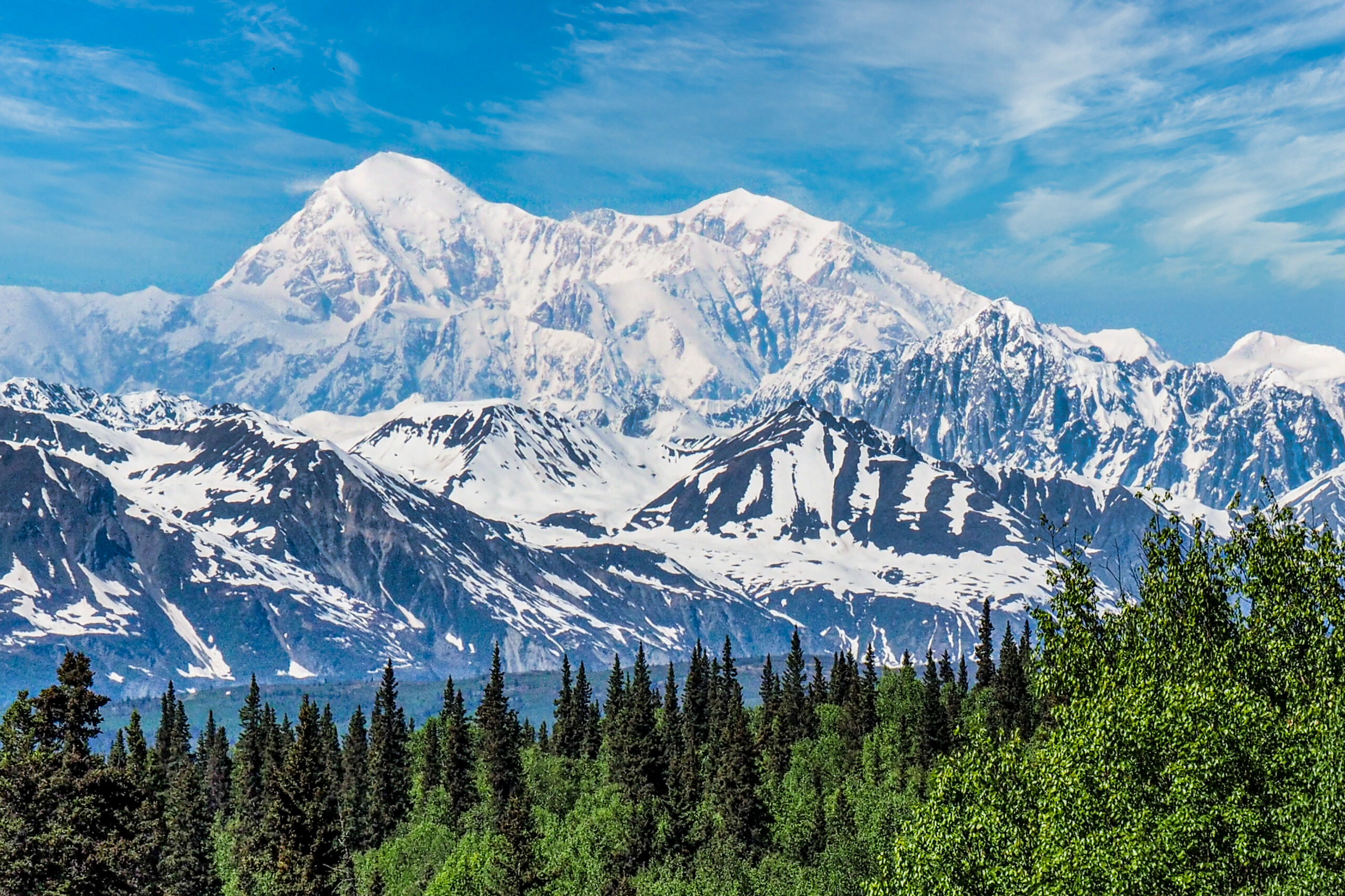
    Denali mountain range and snowy peaks illustrating Denali expedition operators and climbing conditions.
    Denali is 20,310 ft (6,190 m), the highest peak in North America. This page tracks its season, with live weather below.
    Expedition Updates · Alaska

    Denali expedition update

    Where Denali stands this season, plus the West Buttress route, arctic weather, the NPS permit rules, and safety. A single-mountain page in our Expedition Updates directory. Elevations in feet (metres).

    Current status Winding down 20,310 ft (6,190 m)

    Season winding down. The 2026 window is closing.

    Denali’s climbing window runs May to early July, with most summits in late May and June. By late July the lower glacier softens, crevasses open, and the last teams come off, so the mountain is now near the end of its year. The next real window is spring 2027.

    Denali’s difficulty is arctic, not just high: a 63-degree-north latitude makes the air thinner than the same height near the equator, and the cold and storms are among the worst on any major peak. That is why the summit rate sits near 51 percent.

    20,310 ft

    Summit (6,190 m)

    The highest point in North America, and one of the coldest big peaks.

    May to Jul

    Climbing season

    Most summits fall in late May and June; the window closes by mid-July.

    ~51%

    Summit rate

    Driven by weather and cold far more than by altitude alone.

    Denali rises from the Alaska Range north of Talkeetna, and it is the classic North American expedition: a two-to-three-week, self-sufficient glacier climb where you haul and sled your own loads between camps. This page is the update view, with where the mountain sits in its calendar, the route, and the rules that matter. For the full how-to on operators, cost, and itinerary, see our Denali climb guide, and for the wider picture across ranges, the Expedition Updates dashboard.

    Current status and next window

    Where the mountain is today, and when it reopens.

    Right now Denali is at the tail of its season. The bulk of teams register for May and June, when the snowpack is firm and the glacier is easier to travel, and by mid-to-late July warming days weaken snow bridges on the Kahiltna and the flow of climbers drops off. There is no autumn or winter commercial season here: the cold and short daylight later in the year put the mountain out of reach for all but a handful of specialists. If you are planning, spring 2027 is the season to build toward, with registration opening well ahead of a May or June start.

    Planning horizon. Register with the NPS at least 60 days before your start date, and build fitness and glacier skills long before that. Start with our Denali progression plan, fitness standards, and first glacier-climb training.

    The 2026 season

    The window, the numbers, and what it means for planners.

    The 2026 season followed Denali’s usual arc: teams flew from Talkeetna onto the Kahiltna through May, worked up the West Buttress in load-carrying rotations, and waited out storms for the weather windows that make or break a summit. As always, the mountain’s summit rate reflects arctic weather more than altitude, hovering around the long-run figure near 51 percent, well below warmer peaks of similar height. Definitive registration and summit totals come from the National Park Service after the season, and we report those rather than early estimates. For the full statistical picture and how conditions drive it, see our Denali summit success rate analysis.

    Denali, in the Alaska Range north of Talkeetna. Map: OpenStreetMap contributors.

    Route and conditions

    The standard line, and the harder alternatives.

    West Buttress (standard)

    Used by roughly 85 to 90 percent of climbers and first climbed in 1951. From the Kahiltna Base Camp at about 7,200 ft (2,200 m), teams move through camps near 7,800, 11,200, and the 14,200 ft (4,330 m) basin, then up the headwall and fixed lines to high camp at 17,200 ft (5,240 m) and the summit ridge. It is a glacier and snow expedition, not a technical climb, but the altitude, cold, and load-hauling make it hard work.

    West Rib, Cassin Ridge and beyond

    The West Rib and the Cassin Ridge are far harder, committing technical lines climbed by a small number of experienced parties each year rather than guided teams. They demand a different level of skill and self-reliance than the West Buttress. For the full route breakdown, see the Denali climb guide.

    Weather and cold

    The real crux on Denali, plus a live forecast.

    Weather, not altitude, is what turns most Denali teams around. The mountain sits far enough north that storms roll in off the Gulf of Alaska with little warning, temperatures at the high camps can fall well below minus 30 degrees, and wind can pin climbers in their tents for days. Because the atmosphere is thinner at this latitude, 20,310 ft feels physiologically higher than the number suggests. The live map below shows current wind and conditions for the massif; treat it as a starting point and rely on a dedicated expedition forecast for any real decision.

    Live wind and weather for the Denali massif. Source: Windy.com. For how to read it, see our mountain-weather guide.

    For a fuller explanation of reading a mountain forecast, see mountain weather for climbers.

    Permits and access

    The NPS rules every Denali climber works within.

    Denali is managed by the National Park Service, and the mountaineering rules are strict and enforced. Every climber registers in advance, pays a use fee, attends an orientation, and packs out their own waste. The fee funds the ranger patrols and rescue infrastructure that have cut the fatality rate over the decades.

    NPS Denali mountaineering fee, per climber, 2026 (confirm current rates via Pay.gov).
    Climber ageMountaineering fee
    25 and over~$450
    24 and under~$350

    What the NPS requires

    • Register at least 60 days ahead – through Pay.gov, with an experience questionnaire.
    • Ranger orientation in Talkeetna – a mandatory briefing before you fly to the glacier.
    • Clean Mountain Cans – all human waste is carried out; the CMC is issued by the park.
    • Self-sufficiency – carry crevasse-rescue gear, know the skills, and be ready to manage emergencies; rescue is never guaranteed.

    Safety on Denali

    Where the risk sits on a glaciated arctic peak.

    Denali’s hazards are cold injury, weather, altitude, and crevasses, in roughly that order. Frostbite and hypothermia are the most common serious problems, driven by the extreme cold and wind. The lower Kahiltna and the route between camps cross crevassed glacier, so roped travel and crevasse-rescue competence are non-negotiable. Altitude illness affects climbers who move up too fast in the thinner northern air. The single most protective habit is patience: acclimatize properly, keep margin for weather, and be willing to turn around.

    âš  Cold and crevasses, not just height

    More Denali trips end in frostbite, exhaustion, and weather retreats than in altitude alone, and the glacier below camp is a real crevasse-fall risk. Rope up, carry rescue gear, and know how to use it. This page is not medical or safety advice; build your skills with our crevasse-rescue basics and acclimatization guides and a qualified guide.

    Denali mountain peak and glacial terrain illustrating West Buttress expedition route.
    Denali is a self-sufficient glacier expedition: teams haul and sled their own loads between camps over two to three weeks.

    Denali by the numbers

    The context behind a single season, from grounded records.

    1913

    First ascent

    Walter Harper led the first party to the summit on June 7, 1913.

    ~50%

    Climb unguided

    About half of Denali climbers organise their own expedition.

    6 operators

    NPS-permitted guides

    A small set of concessionaires run the guided West Buttress trips.

    Denali is one of the Seven Summits, and it fits a longer progression toward the world’s high peaks. Our Denali progression plan lays out the five stages to the summit, Denali operators compares the permitted guide services, and the mountains to climb before the Seven Summits guide shows where Denali sits in a sensible build-up.

    Denali update FAQ

    The questions planners ask most about timing, permits, and conditions.

    When is the Denali climbing season?

    May to early July, with most summits in late May and June. By late July, warming snow and opening crevasses on the lower glacier make travel harder and the season winds down. Denali is not climbed commercially in winter, when cold and darkness are extreme.

    How much is a Denali permit?

    The National Park Service mountaineering fee for 2026 is about $450 per climber aged 25 and over, and $350 for those 24 and under, paid through Pay.gov. Every climber must register at least 60 days before the start date. Fees change, so confirm the current figure with the NPS.

    What is the standard route on Denali?

    The West Buttress, used by roughly 85 to 90 percent of climbers and first climbed in 1951 by a team led by Bradford Washburn. It is a long glacier and snow route rather than a technical climb. The West Rib and Cassin Ridge are far harder and rarely guided.

    Why is Denali hard for its height?

    Its 20,310 ft (6,190 m) summit sits at 63 degrees north, so the air is thinner than the same height nearer the equator and the effective altitude feels higher. Combined with some of the coldest, stormiest weather of any major peak, that is why the summit rate sits near 51 percent.

    Do I need a guide for Denali?

    About half of Denali climbers go unguided, but that demands real prior glacier travel, crevasse rescue, and expedition experience. A guided team handles logistics and improves summit odds, and most first-timers benefit from one. Either way, the NPS registration and skills bar is the same.

    What is the current status of Denali?

    As of late July the 2026 season is winding down and most teams are off the mountain. The next window is spring 2027, from May to early July. Check this page for the season summary and the current picture before you plan.

    📋 How this update is built

    This page is compiled by Travis Ludlow, Founder and Head of Research at Global Summit Guide, from US National Park Service data and published season reporting, with sources named below. It was reviewed for safety by Dawson Ludlow, our Climbing & Mountaineering Lead (Wilderness First Aid), whose highest first-hand summit is Kilimanjaro. Where our team has no first-hand experience of Denali, we report the cited records rather than personal anecdote, and we confirm fees and rules against the NPS.

    Sources and further reading

    • US National Park Service, Denali National Park – mountaineering permits, fees, and regulations.
    • NPS annual Denali mountaineering summary – registration and summit statistics.
    • Denali air-taxi and NPS-permitted guide operators – logistics and season reporting.
    • Our own Denali climb guide and Denali summit success rate analysis.
    • We report published figures and named sources rather than posting unverified live conditions.

    Planning a Denali expedition?

    Choosing the right approach is the biggest decision you will make. Compare the permitted teams in our Denali operators guide, read how to choose an expedition operator, and work through the Denali progression plan. For flights and lodging around Anchorage and Talkeetna, browse travel on Expedia.

    Disclosure: the Expedia link above is a sponsored affiliate link. We may earn a commission at no extra cost to you.

    Was this helpful?

    Yes
    No
    Thanks for your feedback!
  • K2 Climbing Season: Late-July Window, Permits & Access

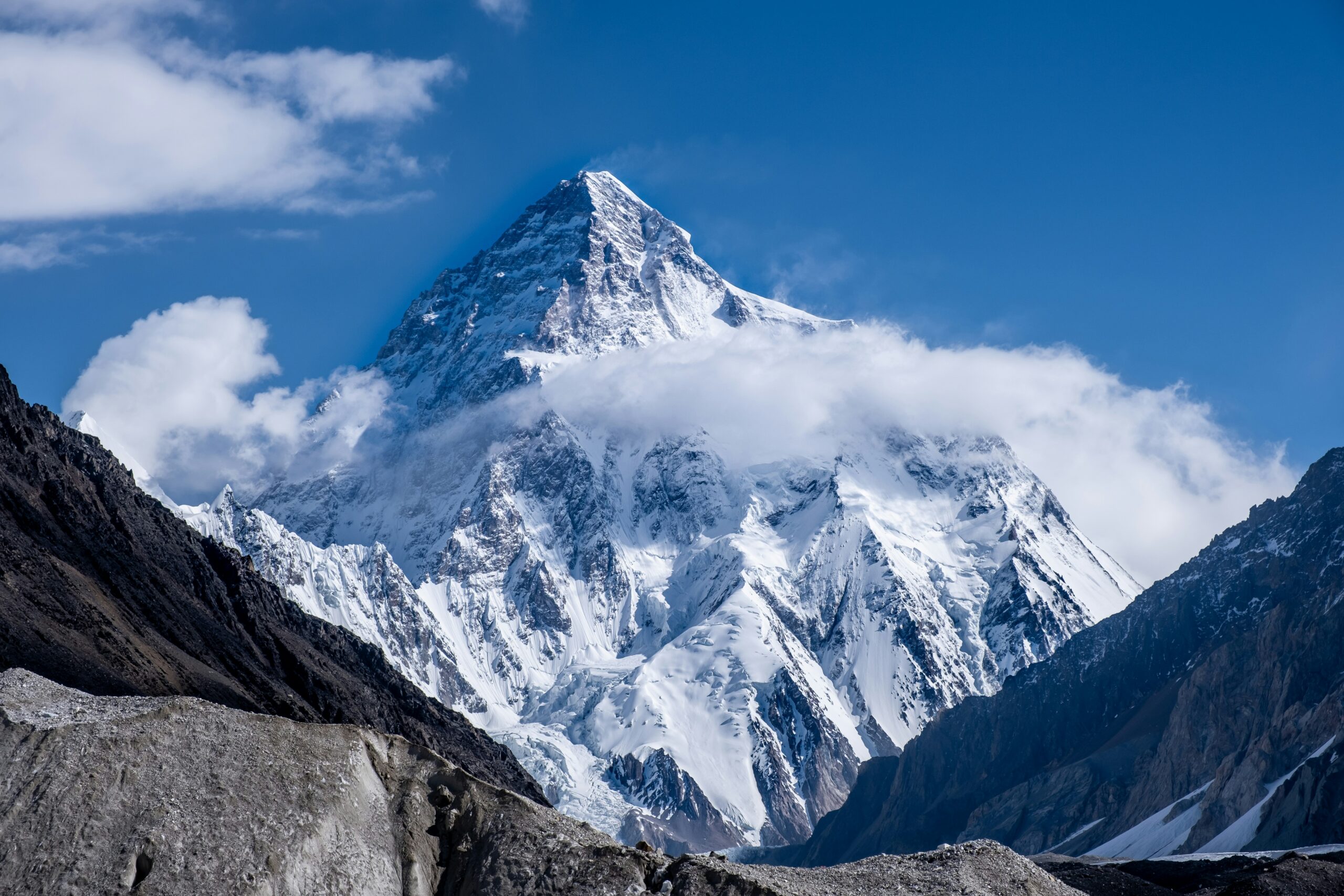
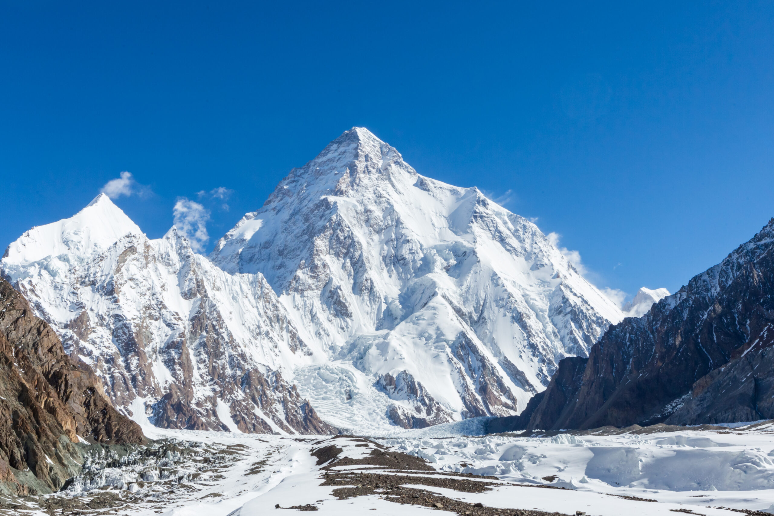
    Majestic view of K2, the Savage Mountain, showcasing its snow-capped peak and surrounding rugged terrain under a clear blue sky, emphasizing the challenges climbers face in high-altitude conditions.
    K2 · 8,611 m · Karakoram summer · permits · access · route fixing

    K2 Climbing Season: Summit Window, Permits, Access & Route Readiness

    K2’s practical expedition season runs from late June through August, but the strongest summit period is usually much shorter—often a few days in late July or early August. Reaching that window requires more than favorable weather: the permit must be approved, the Baltoro approach completed, camps and fixed lines established, climbers acclimatized, and the route ready for both ascent and descent.

    Official GB permit source checked Current K2 royalty schedule cited Weather guide kept separate Live tracker linked for current events

    Reviewed August 16, 2026 · Gilgit-Baltistan Tourism Department + current expedition planning sources · Verify permit paperwork before payment

    Jun–AugPractical expedition season
    Late JulCentral summit period
    $12,000Published K2 royalty · up to 7*
    +$3,000Each additional member*
    8,611 mK2 summit
    By Travis Ludlow · Founder & Head of Research · Safety review: Dawson Ludlow
    *Current published Gilgit-Baltistan schedule; confirm the invoice and expedition-specific fees through your registered Pakistani operator
    The direct answer

    When is the K2 climbing season?

    The normal expedition cycle begins in late June, when teams travel through Skardu and Askole, trek the Baltoro, establish Base Camp and begin route work. July is the core acclimatization and fixing month. The strongest summit opportunity commonly falls in late July, sometimes extending into early August.

    August is not automatically “too late,” but the value of a second window depends on whether the route remains established, camps and oxygen are intact, the team is healthy, and forecasts still offer enough margin for a complete summit-and-descent cycle.

    For temperature, wind, snowfall, monsoon influence and forecast interpretation, use the K2 Weather Guide.

    • Late June: approach and Base Camp establishment.
    • Early July: lower rotations and fixing.
    • Mid July: upper rotations, camps and recovery.
    • Late July: central summit-window period.
    • Early August: possible second opportunity.
    • Afterward: descent can be the correct decision even after weeks of investment.
    The season is a sequence, not a date

    K2 Expedition Calendar

    A commercial expedition may last seven or eight weeks even though the mountain offers only a short final opportunity.

    Late JuneApproach

    Skardu logistics, Askole roadhead, Baltoro trek, Base Camp setup and early route assessment.

    Early JulyLower rotations

    Camp 1/2 movement, acclimatization, load carries and lower-route fixing.

    Mid JulyUpper readiness

    Higher rotations, Camp 3 work, Black Pyramid progress, oxygen/camp staging and recovery.

    Late Jul–Early AugSummit period

    The best chance comes when a usable forecast overlaps with fixed ropes, stocked camps and rested climbers.

    PhaseMain workPrimary uncertainty
    ApproachTravel, permits, roadhead, Baltoro trekFlights, roads, bridges, porter logistics
    Lower rotationsCamps 1–2, rope work, acclimatizationRockfall, snow, heat cycles, illness
    Upper rotationsCamp 3, Black Pyramid, high-altitude recoveryWind, new snow, fixing delays, fatigue
    Summit stagingCamp 4, oxygen, team selection, forecastWindow duration, congestion, cache integrity
    Summit/descentBottleneck, summit, return through technical routeWind trend, turnaround time, queues, oxygen
    A summit opportunity is an intersection

    Five Things Must Align at the Same Time

    Good weather alone does not make K2 ready for a summit push.

    1 · Weather

    Upper wind, snowfall and visibility must provide enough margin for the complete high-altitude cycle.

    2 · Route

    Fixed lines and camps must reach high enough for the team to use the forecast window.

    3 · Team

    Climbers must be acclimatized, healthy and recovered from their final rotations.

    4 · Logistics

    Oxygen, tents, fuel, stoves and caches have to be in place and functioning.

    5 · Descent

    The forecast has to protect the return through the Bottleneck, Black Pyramid and lower ridge.

    Human judgment

    Weeks of waiting create deadline pressure; a disciplined team still has to walk away from a marginal day.

    K2 mountain peak in Karakoram range, Pakistan, showcasing a challenging and deadly 8,000-meter ascent
    The forecast does not climb the route

    Weather, fixing, camps and team readiness must peak together.

    A calm spell can be unusable if snow has buried the route, ropes stop below the Bottleneck, Camp 4 is damaged or the team has not recovered from its final acclimatization rotation.

    Conditions change by thousands of vertical meters

    What “K2 Conditions” Means From Askole to the Summit

    The expedition can lose margin long before a climber reaches the Abruzzi Spur.

    ZoneCondition questionsWhy it matters
    Skardu / AskoleFlights, road status, bridges, landslides, vehiclesDelays consume acclimatization and recovery days.
    Baltoro approachHeat, precipitation, glacial streams, porter movementTeams can arrive at Base Camp already depleted.
    K2 Base CampRest, illness, snow/rain, communicationsRecovery quality determines readiness for rotations.
    Lower AbruzziRockfall, snow cover, fixed-line conditionEarly delays can stall the entire route-building schedule.
    Black PyramidMixed conditions, rope integrity, congestionTechnical climbing slows traffic and increases oxygen/cold exposure.
    Shoulder / Camp 4Wind, snow loading, tent and oxygen-cache conditionSummit plans often unravel here before the Bottleneck.
    Bottleneck / summitSerac exposure, queues, wind, temperature, turnaround timeThe descent through the same terrain remains part of the summit decision.

    For the atmospheric side of these conditions, see K2 Weather by Month.

    Current official Gilgit-Baltistan schedule

    K2 Permit Royalty & Expedition Rules

    Use the current government-published schedule as the starting point, then have your registered Pakistani operator confirm the full invoice.

    Official published itemCurrent GB schedule
    K2 royalty · party up to 7 membersUS$12,000
    Each additional member above 7US$3,000
    Maximum party size under published K2 terms15 members
    Peak coverageOne permit is issued for one peak
    Registered company relationshipRequired for expeditions under current GB guidance
    Insurance documentationRequired before permit issuance for local high-altitude workers under current policy
    Budget beyond the headline royalty. The official permit process also involves environmental/waste fees, insurance and operator administration. Ask for a written breakdown showing which government fees, deposits, liaison/administrative costs and operator charges are included.

    For a detailed cost and paperwork breakdown, use the K2 Permits & Fees Guide.

    Start paperwork well before expedition month

    What the Permit Application Requires

    Gilgit-Baltistan Tourism publishes an online application process handled through the expedition’s registered tour company.

    Core application documents listed by the Tourism Department

    The official FAQ lists an online mountaineering/trekking application followed by royalty/environment payments and insurance documentation. The operator submits the expedition material and coordinates the government process.

    • Application from the tour operator on company letterhead.
    • Route map of the proposed peak or trek.
    • Passport copies for expedition members.
    • Completed visa application information for foreign trekkers/climbers.
    • Occupation details for trekking/expedition members.
    • Copy of the licensed tour operator’s documentation.
    • Royalty / trekking fee receipt as applicable.
    • Waste-management / environmental fee receipt as applicable.
    • Insurance documentation required by current policy.

    Do not plan around a bare minimum deadline.

    Visa processing, expedition paperwork, fee transfers and corrections can consume time. Ask your operator for a dated document checklist and submission schedule months before travel rather than waiting until the Karakoram season begins.

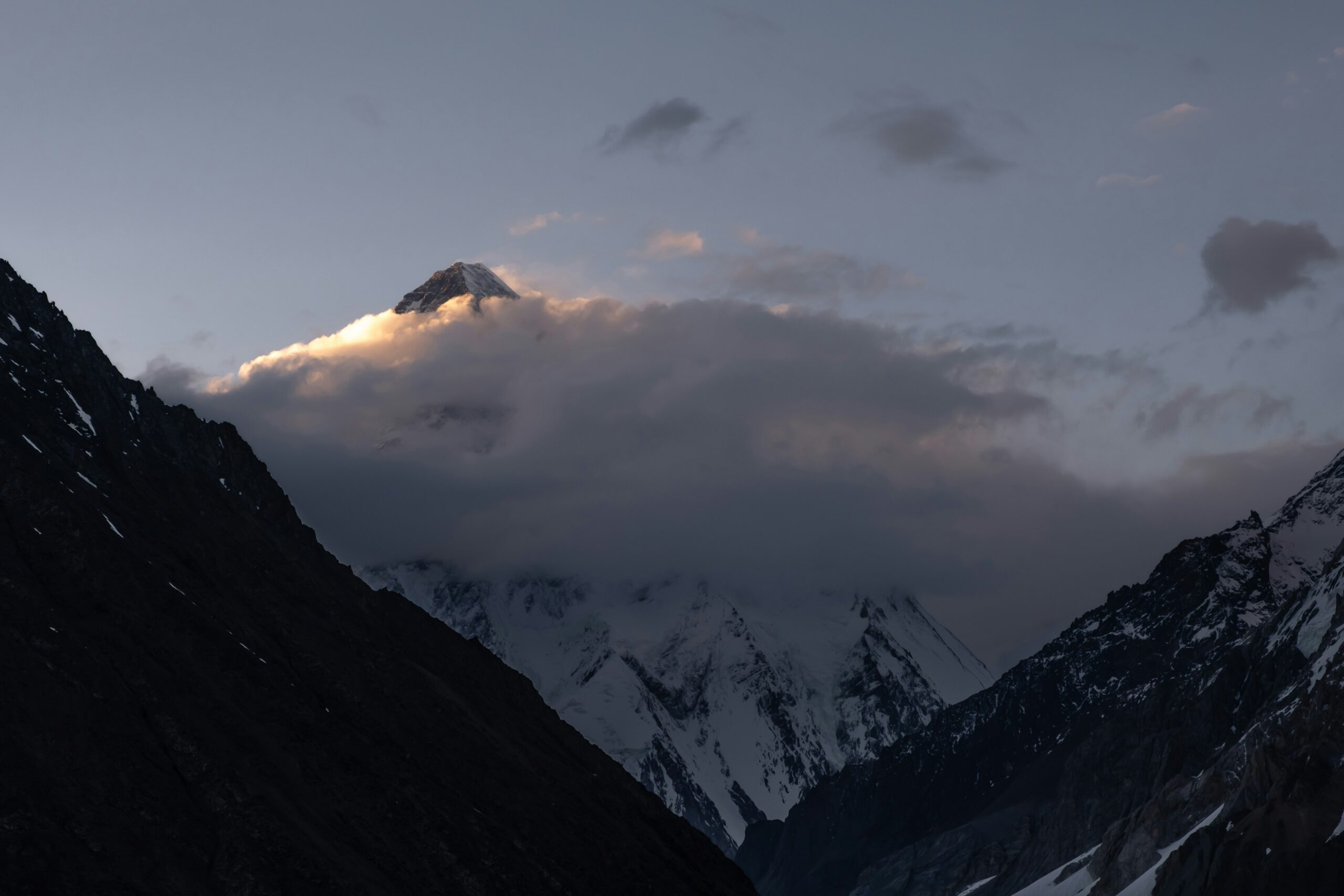
    K2 partly obscured by cloud above the Baltoro approach route
    The approach is part of the season

    K2 has no road to Base Camp.

    International arrival, Skardu logistics, Askole road access and the multi-day Baltoro trek all happen before the first acclimatization rotation. A delay in that chain can consume the margin needed for the summit period.

    Build schedule slack before Base Camp

    Skardu, Askole & Baltoro Access

    The strongest itinerary is not the one that reaches K2 fastest; it is the one that absorbs delays without stealing recovery days.

    Islamabad → Skardu

    Domestic flights are valuable but weather-sensitive. Operators commonly plan road contingencies when schedules matter.

    Skardu → Askole

    Road and bridge conditions in the Shigar/Braldu corridor can change after rain, landslides or infrastructure damage.

    Askole → Base Camp

    The Baltoro trek is a real high-altitude approach through Paiju, Urdukas, Goro and Concordia before the Godwin-Austen Glacier and K2 Base Camp.

    Confirm access close to departure. Ask your operator about current Skardu transport, Askole roadhead, bridges, porter logistics and any administrative briefing that must be completed before the team moves into the Baltoro.
    A usable forecast can arrive too early

    Route Fixing, Shared Lines & Congestion

    K2’s commercial season depends on the route being established quickly enough to use the atmospheric window.

    SectionWhy fixing mattersSeason consequence
    Lower AbruzziEarly ropes establish camp movement and acclimatization flowDelay here pushes every later rotation back.
    House’s ChimneyTechnical bottleneck on the lower routeSlow fixing creates queues before the high mountain.
    Black PyramidSustained technical terrainA major schedule gate for Camp 3 access.
    Shoulder / Camp 4High camps and oxygen must be establishedForecast opportunity is useless without summit staging.
    Bottleneck / TraverseFinal lines control traffic through the key upper hazardLate fixing can compress many teams into the same window.

    Study the terrain in the K2 Routes Guide.

    No summit attempt can be the right outcome

    Seven Ways a K2 Season Can Fail

    Permit approval and weeks at Base Camp do not create an obligation to attempt the summit.

    Access delays

    Flights, roads, bridges or porter logistics consume days before Base Camp.

    Persistent upper wind

    No forecast provides enough calm time for the summit and descent.

    Fresh snow

    A storm leaves unacceptable loading, buried lines or slow trail-breaking.

    Fixing stalls

    The route is not established when the best forecast appears.

    Illness or injury

    Climbers or staff are unable to recover enough for the summit cycle.

    Camp / oxygen failure

    Damaged tents, stoves, caches or cylinders reduce the margin above Camp 3.

    The seventh failure mode is deadline pressure.

    The longer a team waits, the easier it is to reinterpret a marginal forecast as “good enough.” Strong expedition leadership treats sunk cost as irrelevant when conditions no longer support a defensible attempt.

    For dated expedition developments

    Where to Follow the Current K2 Season

    Season patterns are stable; rope fixing, summit pushes and team movements change day by day.

    Use the live season tracker for temporary developments.

    The K2 2026 Season Tracker is the better place for dated information such as team arrivals, current fixing progress, active delays and summit pushes. This guide is designed for the planning framework that remains useful from one season to the next.

    • Current teams at Base Camp.
    • Latest fixing progress.
    • Active summit-window reports.
    • Season incidents and major changes.
    • Temporary access or weather disruptions.
    Useful next steps

    Turn the Season Calendar Into an Expedition Plan

    Two planning decisions matter immediately after choosing the season: the route system and the operator.

    Terrain & fixing

    K2 Routes Guide

    Understand where ropes, camps and congestion shape the timing of a commercial summit push.

    Open Routes →
    Execution

    K2 Operators

    Compare who controls fixing, oxygen, staffing, turnaround authority, rescue planning and permit administration.

    Compare Operators →
    Direct planning answers

    K2 Climbing Season FAQ

    The most common questions involve timing, permits, access and whether the route is ready when the forecast appears.

    What is the K2 climbing season?

    The practical commercial expedition season is late June through August. Most teams spend July acclimatizing and establishing the route, with the strongest summit opportunity usually in late July or early August.

    What is the best month to climb K2?

    July is the central month. Late July is especially important because route fixing, acclimatization and summer weather can finally align. For atmospheric detail, see the separate K2 Weather Guide.

    Can K2 be climbed in August?

    Yes. Early August can provide a second opportunity if the route remains established, the team is healthy and a defensible weather window appears. It should not be treated as guaranteed.

    How much is the K2 climbing royalty?

    Gilgit-Baltistan Tourism currently publishes a K2 royalty of US$12,000 for a party of up to seven members, plus US$3,000 for each additional member. Confirm the full expedition invoice and any additional fees through the registered Pakistani operator.

    Can foreign climbers apply independently?

    Gilgit-Baltistan Tourism states that expeditions must have proper permits and be associated with a registered tour company. Foreign expeditions normally use a licensed Pakistani operator to administer the process.

    Does a K2 permit cover Broad Peak too?

    No assumption should be made that one permit covers both. The current published terms state that a permit is issued for one peak, with another permit required for another peak.

    How early should I start the permit process?

    Start months before travel. The official process requires operator documentation, member information, route material, fees and insurance; visa and administrative timelines can add delays.

    What if the best weather arrives before ropes reach the summit?

    The forecast may be unusable. On K2, weather, route fixing, high camps, oxygen caches and team readiness all have to align before a commercial summit cycle can begin.

    Where can I follow current K2 conditions?

    Use the K2 2026 Season Tracker for dated team arrivals, rope-fixing progress, active delays and summit-window reporting.

    Sources & methodology

    How Global Summit Guide Evaluates the K2 Season

    Government permit rules, stable expedition timing and live field developments are treated as different types of information.

    What changes during the season

    • Skardu and Askole access.
    • Baltoro approach condition.
    • Rope-fixing progress and camp locations.
    • Upper-mountain snow loading and wind.
    • Operator staffing and oxygen caches.
    • Whether the team is healthy enough to use a forecast window.

    Verify before payment and again before departure.

    Government schedules can change, and expedition access is affected by weather, roads and administrative processes. Get the final royalty, fees, paperwork status and access plan in writing from the operator handling your expedition.

    The calendar gets you to K2. Readiness gets you to the window.

    Plan for Late July—But Build Enough Margin to Wait or Walk Away.

    A strong K2 expedition reaches Base Camp early enough to absorb delays, completes acclimatization without exhausting the team, establishes the route before the forecast appears and treats the summit period as an opportunity rather than a deadline.

    Was this helpful?

    Yes
    No
    Thanks for your feedback!
  • Mount Everest Expedition Update 2026: Season, Routes, Permits & Conditions

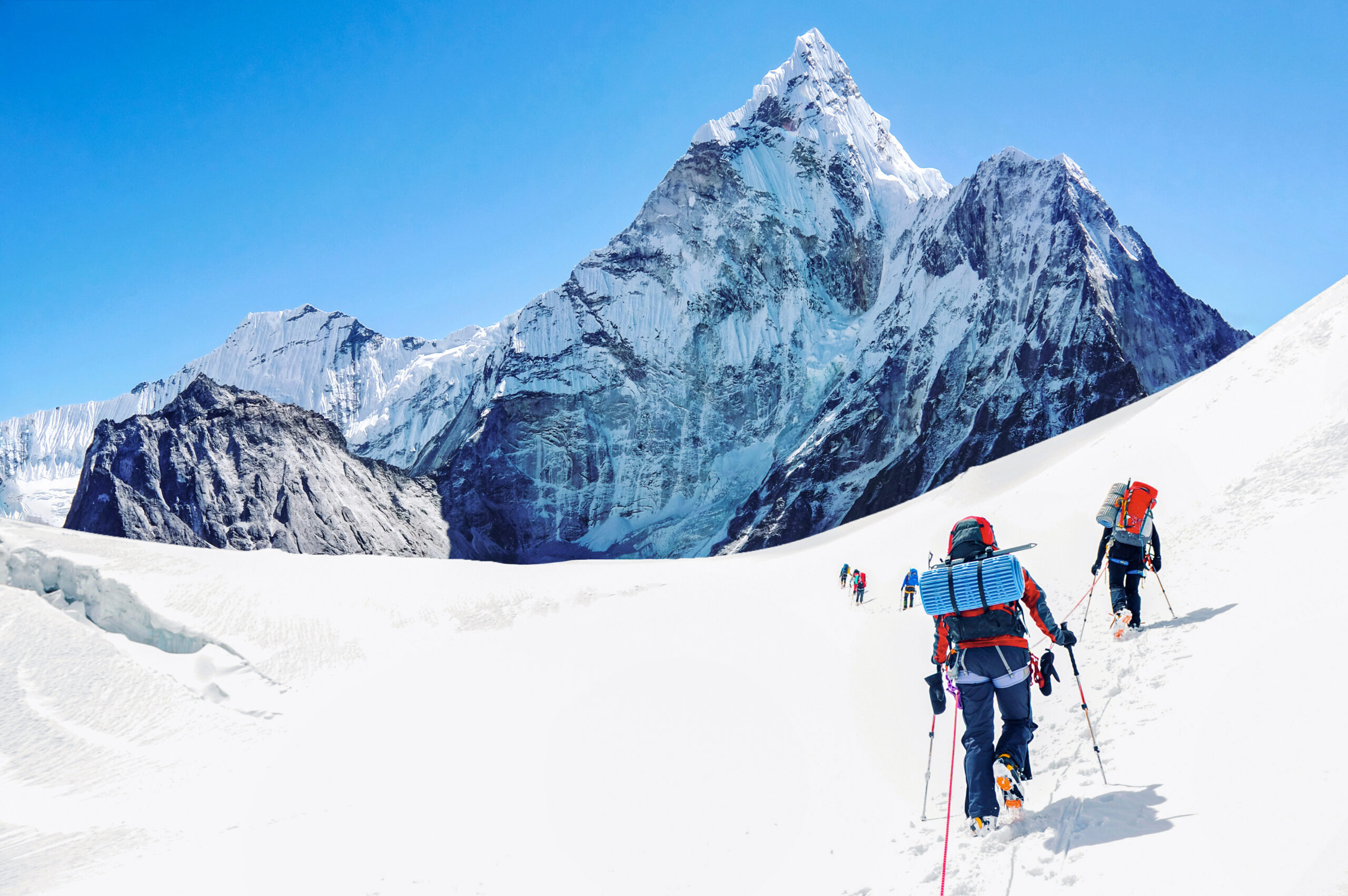
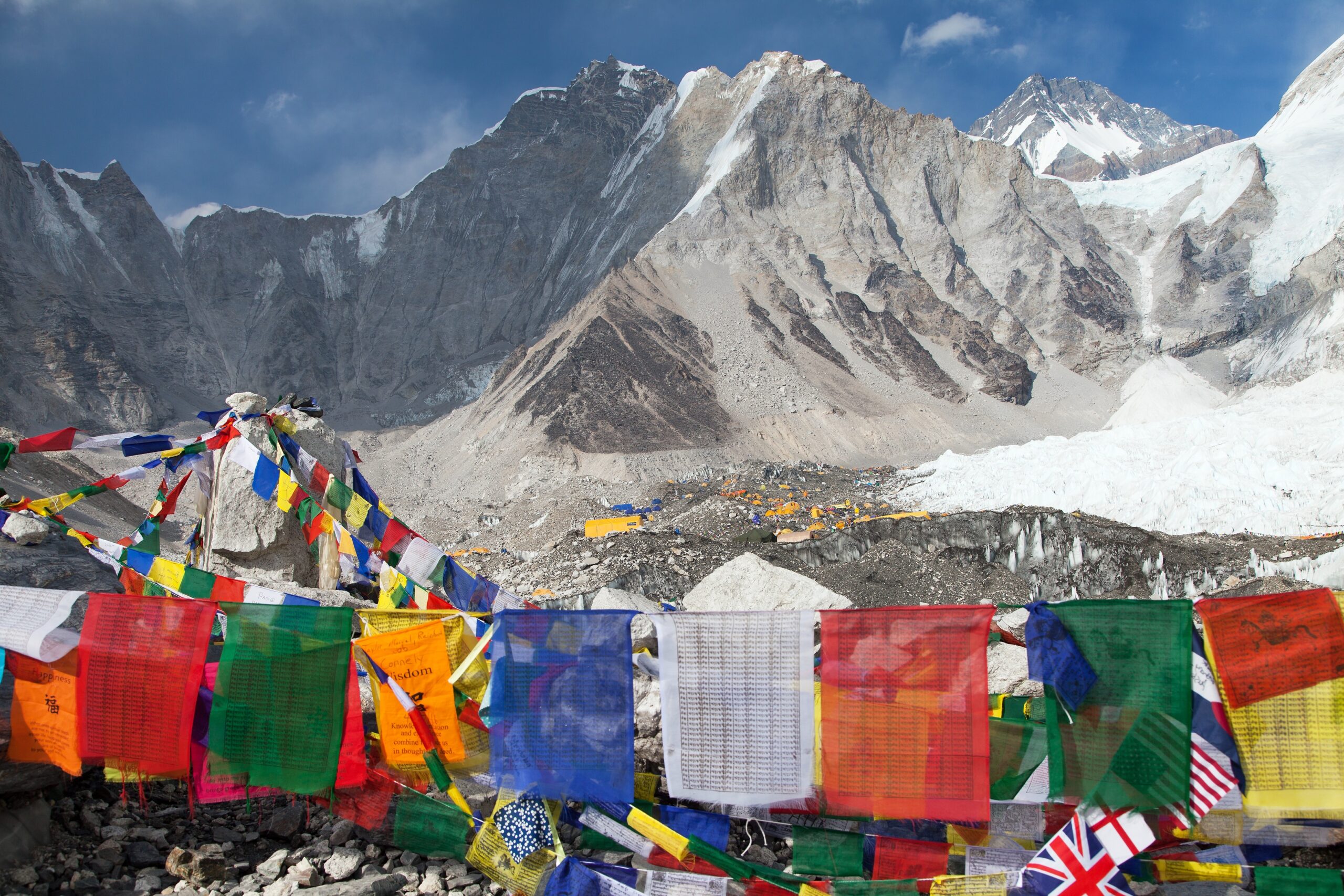
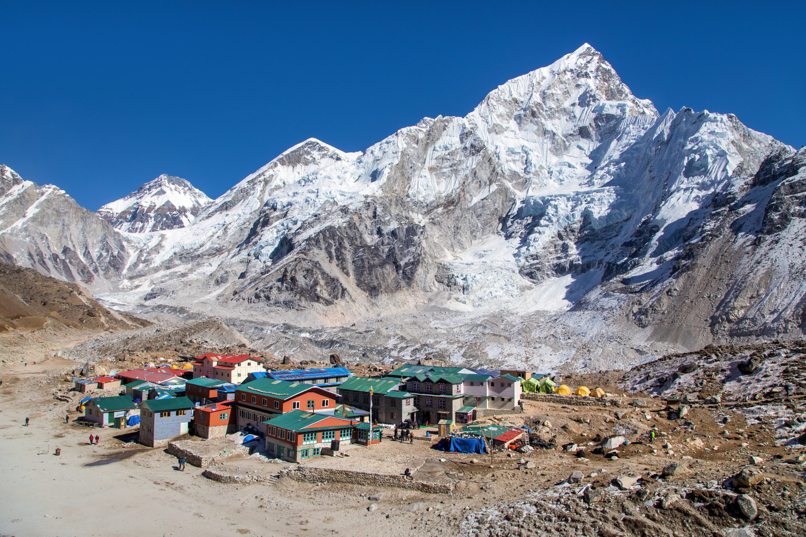
    Trekkers ascending snowy path toward Everest Base Camp with towering peaks of the Himalayas in the background, illustrating the iconic Everest Base Camp trek in Nepal.
    Everest is 8,849 m (29,032 ft), the highest point on earth, on the Nepal to Tibet border. This page tracks its season, and links to live weather below.
    Expedition Updates · Himalaya

    Mount Everest expedition update

    Where Everest stands this season, plus routes, weather windows, the new permit rules, and what the 2026 spring season told us. A single-mountain page in our Expedition Updates directory. Elevations in metres (feet).

    Current status Off-season 8,849 m (29,032 ft)

    Off-season now. The spring 2026 season has closed.

    July is the monsoon in the Nepal Himalaya, so Everest is off-season and quiet. The main climbing window is spring (April to May); a smaller autumn window runs September to November. The next real opportunity is a minor autumn 2026 season, then the main spring 2027 season.

    Spring 2026 was, by the reckoning of season chroniclers, a fairly normal year despite early delays and erratic winds. The detail is below, and live weather sits further down the page.

    8,849 m

    Summit (29,032 ft)

    The highest point on earth, in the death zone above 8,000 m.

    Apr to May

    Main season

    Spring pre-monsoon, when the jet stream lifts off the summit.

    South Col

    Standard route

    The Nepal side line; the Tibet North Ridge was closed to foreigners in 2026.

    Everest sits on the border of Nepal and Tibet at the head of the Khumbu, and it is the most watched mountain on earth each spring. This page is the update view: where the mountain is in its calendar right now, what the last season showed, and the practical rules that changed. For the full background guide to routes, history, and preparation, see our Everest guide, and for the wider picture across ranges, the Expedition Updates dashboard.

    Current status and next window

    Where the mountain is today, and when the next real climbing window opens.

    Right now Everest is out of season. The summer monsoon brings heavy snow and unstable conditions to the Nepal Himalaya, and no commercial expeditions run on the standard route in July. The mountain reopens in stages: a modest autumn window (September to November), which sees far fewer climbers than spring, and then the main event, the spring pre-monsoon season (April to May), when the great majority of ascents happen. If you are planning, spring 2027 is the season to build toward, with autumn 2026 an option for those who want a quieter mountain and can accept a lower success rate.

    Planning horizon. Most operators open spring bookings a year or more ahead, and Nepal now caps permit validity at 55 days, so build your acclimatization and travel schedule around a late-April arrival for a mid-to-late-May summit push. Start with altitude acclimatization and fitness standards.

    The 2026 spring season

    The most recent completed season, and what it tells planners.

    The 2026 spring season closed as what independent chroniclers called a fairly normal year, even though the headlines were dramatic. It opened with a problem in the Khumbu Icefall, where a large, unstable serac blocked the route below Camp I and held up operations for weeks while the icefall doctors reworked the line. Winds were awkward through much of May, with an erratic jet stream that kept the summit forecast shifting. Once a window opened, the crowds moved fast: around 1,000 summits were recorded for the season, with roughly 80 percent of them falling between May 17 and 26, and one day alone seeing well over 250 people top out. Those totals are preliminary, and the Himalayan Database publishes the definitive figures later in the year.

    Two access stories shaped the season. Nepal’s higher permit fee, in force since September 2025, took effect for a full season for the first time, and permit numbers held steady while revenue set a record. On the other side of the mountain, China closed the Tibet approach to foreign climbers, which pushed nearly all foreign expeditions onto the Nepal South Col route. A rapid-ascent method using xenon gas to speed acclimatization also drew scrutiny after a small team completed the climb in a matter of days.

    Mount Everest, at the head of the Khumbu on the Nepal to Tibet border. Map: OpenStreetMap contributors.

    Routes and conditions

    The two standard lines, and where each stood this year.

    South Col, Southeast Ridge (Nepal)

    The standard commercial route and the line of the 1953 first ascent. It climbs through the Khumbu Icefall, the Western Cwm, and the Lhotse Face to the South Col at about 7,900 m (25,900 ft), then up past the Balcony and the Hillary Step to the summit. In 2026 this carried nearly all foreign traffic. The Icefall serac early in the season was the main conditions story.

    North Ridge, Northeast Ridge (Tibet)

    The other standard line, from the Tibetan side via the North Col and the ridge above. It avoids the Khumbu Icefall but is colder and more exposed to wind. For the 2026 season China closed this side to foreign climbers, so plan around the Nepal route and confirm the Tibet position before counting on it.

    Weather and summit windows

    How the window works, plus a live forecast for the summit area.

    Everest’s season is dictated by the jet stream. Through winter, jet-stream winds scour the summit at speeds no climber can survive. In spring, as the monsoon approaches from the south, that wind lifts away for short spells, opening the summit windows teams wait for at high camp. Those windows are brief and often bunched, which is why the 2026 summits clustered so tightly in the second half of May. The live map below shows current wind and conditions for the summit area; treat it as a starting point and rely on a dedicated expedition forecast for any real decision.

    Live wind and weather for the Everest summit area. Source: Windy.com. For how to read it, see our mountain-weather guide.

    For a fuller explanation of jet-stream timing, pressure, and reading a mountain forecast, see mountain weather for climbers.

    Permits and access

    The rules changed in 2025. Here is what a foreign climber pays and needs now.

    Nepal raised its Everest royalty on September 1, 2025, the first increase since 2015. For a foreign climber on the standard south route, the spring fee rose from $11,000 to $15,000 per person, with the other seasons increased in step. The royalty is the government fee only; it is separate from operator, Sherpa, oxygen, and logistics costs, which bring a full expedition to roughly $45,000 at the budget end and well over $200,000 for a luxury service.

    Nepal Everest royalty, foreign climber, standard south route, per person (from Sep 1, 2025).
    SeasonRoyalty
    Spring (Mar to May) – main season$15,000
    Autumn (Sep to Nov)$7,500
    Winter (Dec to Feb)$3,750
    Monsoon (Jun to Aug)$3,750

    What else changed

    • Permit validity cut to 55 days – down from 75, so plan a tighter schedule.
    • Guide mandate above 8,000 m – a licensed guide is required, at a ratio of one per two climbers.
    • Waste rules – climbers must carry out their own waste, with biodegradable bags checked at base camp.
    • Tibet side – closed to foreign climbers for the 2026 season; confirm the current position before planning that route.

    Safety and rescue

    What the 2026 season showed about where the risk really sits.

    Season chroniclers recorded around five fatalities on Everest in spring 2026, with a sixth unconfirmed as the season closed, within a normal range for a busy year. Reported causes included a fall on the Lhotse Face below Camp 3 and illness striking a climber during the descent after a successful summit. That pattern is the enduring lesson of the mountain: the descent, when climbers are exhausted, low on oxygen, and past their summit goal, is the highest-risk phase, and most trouble happens on the way down rather than up.

    âš  The death zone is not a place to improvise

    Everything above 8,000 m sits in the death zone, where the body cannot acclimatize and every hour without supplemental oxygen erodes judgment and strength. Turn-around times, oxygen planning, and a guide who will enforce both matter more than summit fever. This page is not medical advice; build your altitude plan with our acclimatization guide and a physician.

    Snow-capped Himalayan mountain peak and prayer flags illustrating mountain travel planning.
    Summit windows on Everest are brief and often bunched, which concentrates traffic on a handful of days each May.

    Everest by the numbers

    The context behind a single season, from grounded records.

    1953

    First ascent

    Tenzing Norgay and Edmund Hillary, May 29, via the South Col.

    9,800+

    Ascents from Nepal

    Total summits from the Nepal side since 1953, per the Department of Tourism.

    ~1,000

    Summits in 2026

    Preliminary spring total; the Himalayan Database confirms figures later.

    For how Everest fits a longer climbing progression, and what to build toward before attempting it, our guide to the mountains to climb before the Seven Summits maps a sensible path, and the first-summit training plan is where most climbers start. The Nepal trekking peaks are the usual proving ground for Himalayan altitude before a big objective.

    Mount Everest and base camp nestled in the Himalayas, illustrating altitude challenges for climbers.
    The Everest massif sits among the highest peaks on earth, several of which share its approaches and seasons.

    Everest update FAQ

    The questions planners ask most about timing, cost, and conditions.

    When is the best time to climb Everest?

    Spring pre-monsoon (April to May) is the main season, when the jet stream lifts to open summit windows. Roughly 80 percent of the 2026 summits fell between May 17 and 26, a normal pattern. A smaller autumn window (September to November) exists. July is the monsoon, so the mountain is off-season.

    How much does an Everest permit cost now?

    Since September 1, 2025, Nepal’s royalty for a foreign climber on the standard south route is $15,000 in spring, up from $11,000. Autumn is $7,500 and winter or monsoon is $3,750. Permits are valid for 55 days. With logistics, a full expedition runs from about $45,000 to over $200,000.

    Can you climb Everest from the Tibet side in 2026?

    For the 2026 season China closed its side of Everest to foreign climbers, so nearly all foreign expeditions used the Nepal South Col route. Access on the Tibet side changes year to year, so confirm the current position with your operator and the authorities before planning around it.

    How high is Everest and where is it?

    Everest is 8,849 m (29,032 ft), on the Nepal to Tibet border at the head of the Khumbu. The summit and the upper camps sit in the death zone above 8,000 m, where the body cannot acclimatize and time without oxygen is limited.

    How dangerous was the 2026 spring season?

    Season chroniclers recorded around five fatalities in spring 2026, with a sixth unconfirmed as the season closed, within a normal range for the mountain. Reported causes included a fall on the Lhotse Face and illness during descent. As on most 8000ers, the descent after the summit is the highest-risk phase.

    What is the current status of Everest?

    As of July the mountain is off-season under the monsoon, and the spring 2026 season has closed. The next window is a minor autumn season, then the main spring 2027 season. Check this page and the linked sources for the latest before planning.

    📋 How this update is built

    This page is compiled by Travis Ludlow, Founder and Head of Research at Global Summit Guide, from Nepal Department of Tourism figures, the Himalayan Database, and independent season reporting, with sources named below. It was reviewed for safety by Dawson Ludlow, our Climbing & Mountaineering Lead (Wilderness First Aid), whose highest first-hand summit is Kilimanjaro. Where our team has no first-hand experience of Everest, we report the cited records rather than personal anecdote, and we mark preliminary figures as preliminary.

    Sources and further reading

    • Nepal Department of Tourism, Mountaineering Section – climbing permits, royalty rates, and regulations.
    • The Himalayan Database – the definitive record of Everest ascents and fatalities, published after each season.
    • Kathmandu Post – reporting on the 2025 royalty revision and 2026 permit figures.
    • Alan Arnette – independent Everest season coverage and by-the-numbers analysis for 2026.
    • Sagarmatha Pollution Control Committee – Khumbu waste management and season operations.
    • We report published figures and named sources rather than posting unverified live conditions.

    Planning an Everest expedition?

    Choosing the right team is the biggest decision you will make. Read how to choose an expedition operator and compare teams in our operator directory. For flights and lodging around Kathmandu and Lukla, browse travel on Expedia.

    Disclosure: the Expedia link above is a sponsored affiliate link. We may earn a commission at no extra cost to you.

    Was this helpful?

    Yes
    No
    Thanks for your feedback!
Language »