
Last updated October 11, 2026
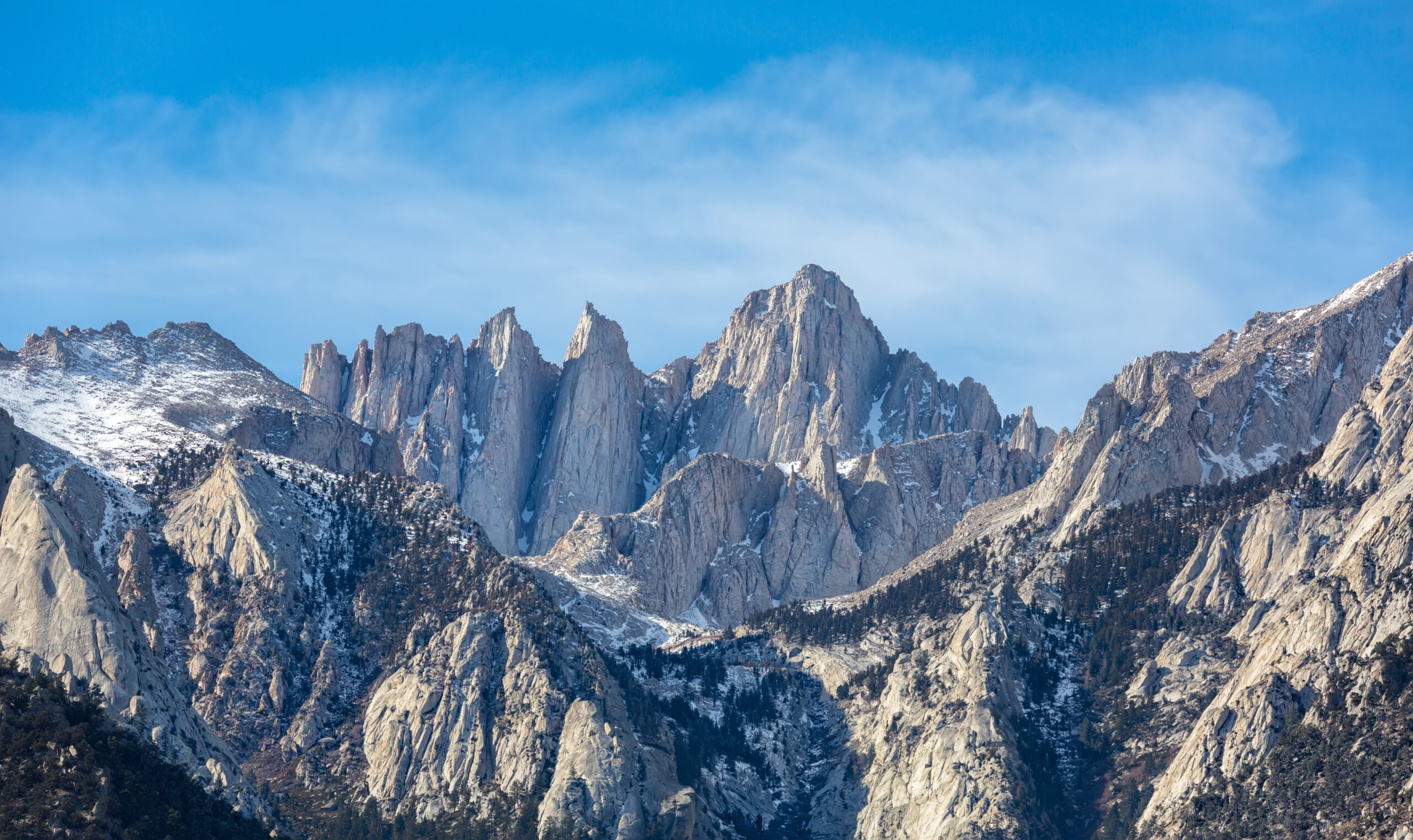
Mount Whitney Weather: Live Summit Forecast, Temperatures & Conditions
Start with the official National Weather Service high-elevation point near 12,815 ft—not Lone Pine. Then check the hourly wind and precipitation trend, compare summit-level wind and temperature, and separately verify what is physically on the upper trail. The 14,505-ft summit can be colder, windier and more exposed than the official point forecast below it.
Use the Highest Reliable Official Forecast—Then Correct for the Summit.
The National Weather Service point at 36.5632, -118.2801 is currently labeled at approximately 12,815 ft. That makes it far more useful for Whitney than a forecast from Lone Pine or Whitney Portal.
It is still 1,690 vertical feet below the summit. Do not treat its temperature or wind as a direct summit observation. Use the NWS hourly trend for timing, then compare a summit-elevation model and current upper-trail evidence.
The final question is not “What is the weather on Mount Whitney?” It is: Will wind, lightning, precipitation, freezing level, visibility and the actual trail surface stay within the margin your group has for the summit window?
National Weather Service High-Elevation Forecast
This panel requests the official NWS forecast for the high-elevation Whitney point. It is not a summit station and cannot tell you whether snow or ice is covering the switchbacks, cables or summit trail.
Mount Whitney Weather Changes With Elevation
The Main Trail climbs more than 6,000 vertical feet. A forecast that feels accurate at the trailhead can be misleading at Trail Crest or on the summit plateau.
| Location | Approx. Elevation | Weather Question |
|---|---|---|
| Lone Pine | ~3,700 ft | Travel heat, valley wind, smoke and approach conditions—not summit weather. |
| Whitney Portal | ~8,300 ft | Trailhead temperature, visible cloud growth and what precipitation has reached the lower mountain. |
| Outpost Camp | ~10,500 ft | Overnight cold, rain/snow transition and changing cloud base. |
| Trail Camp | ~12,000 ft | Snow surface, overnight freeze, wind and cloud development. |
| NWS point | 12,815 ft | Primary official high-elevation forecast |
| Trail Crest | ~13,650 ft | Exposed west-side wind, visibility, freezing precipitation and lightning. |
| Summit | 14,505 ft | Maximum exposure; compare the NWS trend with a summit-elevation model. |
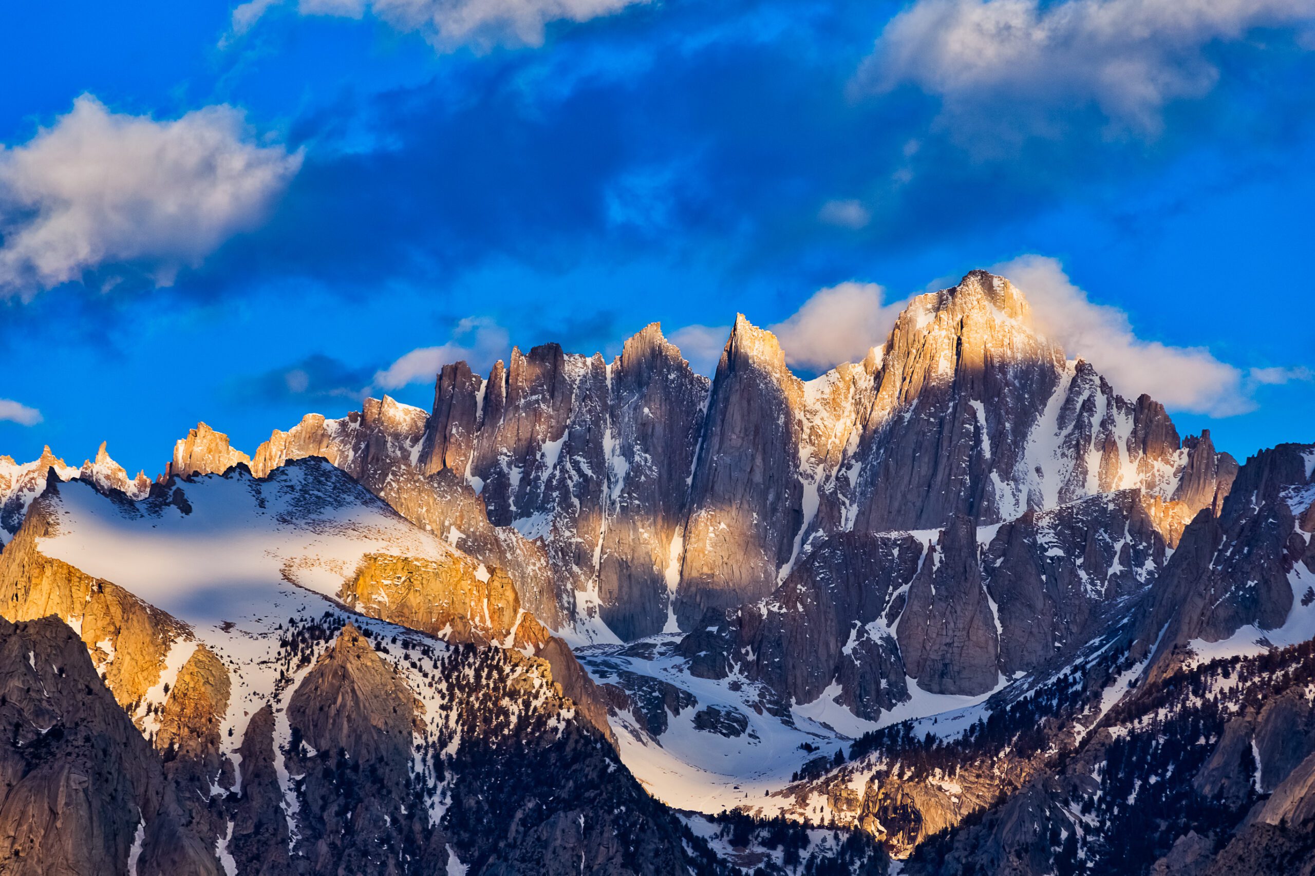
Check Whitney Four Times, Not Once When You Pack.
The three-day forecast shows the pattern. The 24-hour forecast sharpens the timing. Whitney Portal shows what actually arrived. Trail Camp and Trail Crest tell you whether the forecast still matches the mountain.
Mount Whitney Forecast Checklist: 72 Hours to Summit Morning
A fixed permit date can create pressure to accept a marginal forecast. The permit gives access; it does not make the date safe.
Open the NWS point, hourly trend, summit model and latest dated upper-trail evidence.
Identify wind, storm timing, freezing level, new snow or ice and a turnaround time before leaving.
Reopen the forecast, check NWS alerts, look at cloud growth and verify road/trail notices.
Compare actual wind, cloud, visibility, snow surface and pace with the conditions you planned for.
Use Forecast Timing—Not a Magic Noon Rule
Early starts create margin. They do not guarantee that an exposed summit is safe until a specific hour.
| Signal | Planning Response | Why |
|---|---|---|
| Thunderstorms forecast during summit hours | Plan to leave exposed terrain before the risk period—or postpone. | The crest and summit plateau offer little lightning protection. |
| Forecast shifts earlier overnight | Move the plan earlier or cancel. | Yesterday’s timing is no longer the decision point. |
| Rapid vertical cloud growth | Reassess before committing above Trail Camp. | Observed convection can develop faster than a general forecast suggests. |
| Thunder heard | Leave exposed ridge and summit terrain. | The storm is already close enough to matter. |
| Lightning seen | Descend from exposed terrain immediately. | The summit is no longer the objective. |
Inyo National Forest guidance has long encouraged hikers to be off the summit early when thunderstorms are forecast and warns that storms can occur earlier than expected. Treat any clock time as planning margin—not a weather guarantee.
Wind, Freezing Level, Precipitation & Visibility Belong Together
Ridge Wind Changes Balance and Pace
Trail Crest and the summit plateau are exposed. Read sustained wind and gusts, then ask whether the group can move, communicate and stay warm at those speeds—not whether the number looks dramatic on a phone.
Use the Forecast Elevation First
The NWS point is at 12,815 ft. The summit is another 1,690 ft higher. Pre-dawn and overnight temperatures can matter more than the afternoon high for an early summit push.
Rain Below Can Become Snow or Ice Above
A relatively small vertical difference can separate rain at Whitney Portal from snow, graupel or freezing conditions near Trail Crest. Read the forecast discussion when precipitation is possible.
Cloud Can Turn a Trail Into a Navigation Problem
Fresh snow and cloud can hide familiar tread above Trail Camp. A route that is straightforward in dry clear weather can demand much stronger navigation once landmarks disappear.
Forecast Does Not Equal Trail Condition
Recreation.gov and Inyo National Forest both describe the Main Trail as nontechnical when snow-free and warn that snow or ice changes the required skills and equipment.
| Observed Upper-Route Surface | Planning Interpretation |
|---|---|
| Dry, snow-free Main Trail | The normal summer hiking system may be appropriate if weather and altitude are also within your margin. |
| Short icy patches | Assess slope angle, runout and consequence before deciding whether simple traction is enough. |
| Firm snow across switchbacks / cables | Mountaineering equipment and practiced snow-travel skills may be required. A slip can have severe consequences. |
| Fresh snow over the upper trail | Navigation, pace and precipitation type become part of the problem even if total accumulation is small. |
| Unknown surface | Do not infer “snow-free” from the month. Seek a dated report or ask the permit/visitor center. |
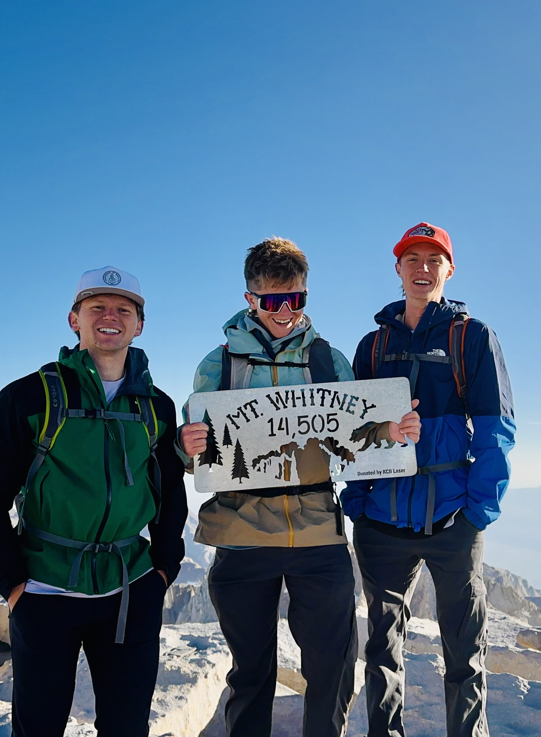
The Same Summit Can Be a Hike One Week and a Snow Objective the Next.
A dated trip report can be useful evidence, but it should stay dated. Weather pages are strongest when live atmosphere and observed trail surface are kept separate.
Official Trail Reports Can Lag the Weather
The September 1, 2026 SEKI trail-conditions page is current as a page, but its Mount Whitney-specific entry is still dated June 29.
Page Updated September 1; Whitney Entry June 29
The Whitney line reports Guitar Lake to summit snow-free and some moderate-angle snow patches lower on the route—but because the Whitney entry is dated June 29, it should be treated as historical field evidence, not a September surface report.
Open SEKI trail conditions →Use for the Trail Definition and Alerts
Inyo says the Whitney Trail gains more than 6,000 ft in 11 miles, is strenuous but nontechnical when snow-free, and requires additional skills and equipment when snow and ice are present.
Open official Whitney Trail page →Best Time to Hike Mount Whitney
Use the season to choose a permit window. Replace the calendar with live weather and actual trail condition as the trip approaches.
| Period | Typical Surface / Weather | Planning Interpretation |
|---|---|---|
| May | Winter snowpack, cold nights, possible access complications | Expect mountaineering conditions rather than a normal summer hike. |
| June | Snow transition, firm mornings, softer afternoons | Surface reports can matter as much as the forecast. |
| July | Residual snow possible; convection becomes important | Often improving trail conditions; check thunderstorm timing. |
| August | Usually snow-free, with thunderstorms, smoke, heat below and wind above possible | Prime hiking month does not remove weather risk. |
| September | Cooler nights, shorter daylight, often dry until meaningful storms arrive | Often excellent, with increasing cold/wind sensitivity |
| October | Freezing nights and possible early snow | Conditional shoulder season rather than guaranteed summer hiking. |
| November–April | Snow, severe cold, navigation and avalanche concerns | Winter mountaineering objective. |
Mount Whitney Forecast Source Hierarchy
No single page answers atmosphere, summit exposure and physical trail surface equally well.
NWS 12,815-ft Point
Primary source for temperature, wind, precipitation probability and high-elevation weather context.
Open NWS →NWS Hourly Table
Compare wind, temperature, precipitation and cloud against your planned hours above Trail Camp.
Open hourly →NWS Las Vegas Discussion
The Whitney high-elevation point is handled by the Las Vegas forecast office. Its discussion is useful when wind, moisture or forecast confidence is changing.
Open discussion →Inyo National Forest
Use for the official trail description, access information and alerts affecting the Whitney Portal side.
Open Inyo →SEKI Trail Conditions
Useful only when the Whitney-specific report date is recent enough for the condition you are trying to verify.
Open trail reports →Recreation.gov
Use for permit details, route scale and the broad statement that the Main Trail is usually snow-free July to late September.
Open Whitney permit page →Route, Permit, Altitude & Final Prep
Complete Mount Whitney Guide
Start with the mountain overview before moving into route, permit and weather details.
Open Whitney →RoutesMount Whitney Routes
Compare the Main Trail, Mountaineers Route and technical climbing options without using weather to choose the route for you.
Compare routes →PermitsWhitney Permits & Logistics
Lottery, day use, overnight permits and practical Whitney Portal planning.
Plan permits →SafetyDifficulty & Safety
Altitude, pacing, long descent and what changes when the snow-free trail becomes a snow-and-ice route.
Assess difficulty →AltitudeWhitney Acclimatization
Plan sleeping elevation and pre-hike exposure before weather becomes the final decision.
Build acclimatization →Deep weatherMountain Weather for Climbers
Learn how wind, freezing level, fronts, convection and cloud interact on exposed mountains.
Read mountain weather →NavigationNavigation & Emergency Communication
Useful when cloud, fresh snow or darkness removes the easy visual cues of a dry summer day.
Review navigation →Final prepMy Climb Plan
Keep your permit, route, forecast checks, turnaround criteria and summit-day notes together.
Open My Climb →Mount Whitney Weather FAQ
What weather forecast should I use for Mount Whitney?
Start with the National Weather Service point near 36.5632, -118.2801, which NWS labels at about 12,815 feet. Then check the hourly trend, compare summit-elevation wind and temperature, and separately verify current snow or ice on the upper trail.
Is there a live Mount Whitney summit weather forecast?
There is no summit weather station used by this guide. The official NWS point used here is about 12,815 feet, roughly 1,690 feet below the 14,505-foot summit. It is a high-elevation forecast, not a direct summit observation.
Can I use Lone Pine weather for Mount Whitney?
No. Lone Pine is thousands of feet below the summit. Temperature, wind, cloud, precipitation type and exposure can be dramatically different on Trail Crest and the summit plateau.
When is the Mount Whitney Trail usually snow free?
Recreation.gov says usually July to late September. Inyo National Forest says usually relatively snow-free from late June to mid-October. Use a dated trail report rather than treating either range as a promise.
Does Mount Whitney get thunderstorms?
Yes. Thunderstorms and lightning are major summer hazards. Check the timing again the evening before and morning of the hike, and leave exposed ridge/summit terrain if thunder or lightning develops.
What is the best month for Mount Whitney weather?
For most nontechnical Main Trail hikers, mid-July through early September often offers the simplest combination of snow-free trail and long daylight. A specific day can still bring thunderstorms, strong wind, smoke, heat lower on the mountain or early snow.
How current are official Whitney trail reports?
They can lag. The SEKI trail-conditions page was updated September 1, 2026, but its Whitney-specific field report is still dated June 29. Always read the date attached to the Whitney entry before treating it as current surface evidence.
What matters more: forecast or trail condition?
They answer different questions. The forecast tells you what the atmosphere is expected to do. A trail report tells you what snow, ice or surface conditions already exist. A strong summit decision uses both.
Check the Forecast at the Right Elevation—Then Check the Trail You Actually Have.
The strongest Whitney decision combines the official 12,815-ft NWS forecast, hourly timing, summit-level wind and temperature context, a genuinely dated snow/trail report, and a turnaround time that still works if the day is slower or windier than expected.
What Does the Mount Whitney Weather Forecast Mean for Your Hike?
Start with the live NWS forecast above. Then evaluate whether the expected conditions match the actual route, your summit timing and your group’s experience. A forecast cannot certify that the upper trail is safe.
Check Gusts and Exposure
Trail Crest and the summit plateau can be considerably more exposed than the forecast location. Compare gusts with your ability to move, balance and stay warm.
Watch Lightning and Snow
Check the hourly forecast against your expected time above Trail Camp. Thunderstorms, fresh snow and poor visibility can require changing or abandoning the climb.
Verify the Upper Trail
Today’s atmospheric forecast cannot confirm whether the switchbacks, cables or summit trail are icy. Read dated field reports and official trail notices.
Mount Whitney: Plan the Whole Climb, Not Just the Weather
Whitney needs more than a forecast – permits, route, difficulty and Sierra logistics all decide the day. Compare nearby peaks or go deeper on each below.
Mount Whitney: Plan the Whole Climb
Permits, routes, difficulty, weather and logistics all decide the day. Start with the main guide, then go deeper below.
Was this helpful?
🏔Related conditions
🧭Explore & compare
Global Summit Guide is an independent mountaineering resource founded in 2026. The team combines first-hand trekking and climbing experience with in-depth research and professional health and nutrition review to help climbers choose objectives, prepare properly, and stay safe.
Health, altitude, and nutrition content is reviewed by Taylor Ludlow (Registered Nurse) and Brigg Hoopes (Nutritionist).
What We Don't Know Yet
Mountain information changes quickly. This box explains the limits of what this page can responsibly promise.
- Weather, snowpack, avalanche risk, road access, and route conditions can change quickly and may be different on your climbing dates.
- Visa, passport, vaccination, border, insurance, and local transportation rules may change before your trip.
- Route conditions, snowpack, closures, and weather can change quickly after this page is updated.
- Permit rules, fees, quotas, and reservation windows may change between review cycles.
- Operator availability, pricing, guide ratios, and cancellation terms can change by season.
Verify current conditions with official land managers, guide services, local forecasts, and current route reports before booking or climbing.
Mountaineering, rock and ice climbing, glacier travel, and high-altitude activity are inherently dangerous and can result in serious injury or death. The information on Global Summit Guide is provided for general informational and educational purposes only and is not a substitute for professional instruction, qualified guiding, proper equipment, or your own judgment and experience.
Route conditions, weather, snowpack, permits, regulations, and hazards change constantly and may differ from what is described here. Details may be incomplete, out of date, or contain errors. Always verify current information with local authorities, certified guides, and official sources before making any decision in the mountains.
Nothing on this site is medical, legal, or financial advice. Our fitness, acclimatization, altitude, and nutrition content is general in nature; consult a qualified physician before beginning any strenuous exercise program or exposing yourself to high altitude.
You are solely responsible for your own safety and decisions. To the fullest extent permitted by law, Global Summit Guide and its team accept no liability for any loss, injury, damage, or expense arising from use of, or reliance on, this information. By using this site you acknowledge these risks and accept these terms.
Some links on this site may be affiliate links. If you buy through them we may earn a small commission at no extra cost to you; this never affects our recommendations.
Global Summit Guide recommendation path
Next Best Mountain to Research
Use these recommendations to continue the right planning path instead of stopping on one page.
Use current permit, weather, route, and operator information before booking or climbing.