
Last updated September 21, 2026
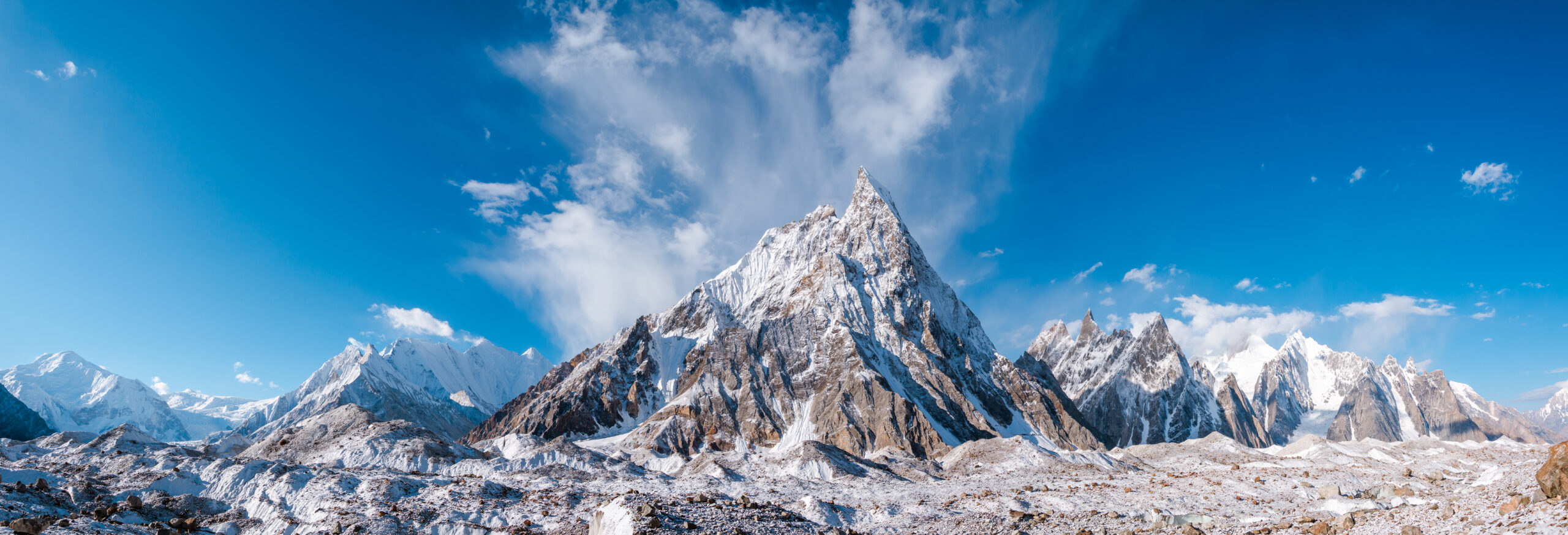
K2 Climbing Guide: Route, Cost, Permits, Difficulty & Expedition Plan
K2 is the second-highest mountain on Earth and the hardest standard-route 8,000-meter expedition in the Global Summit Guide system. Most supported climbers use the Abruzzi Spur from Pakistan, spend roughly 47–60 days on the full expedition, and face sustained technical terrain before the upper Bottleneck at about 8,200 m. This parent guide answers the broad planning questions, then sends route, permit, weather, operator and risk questions to their dedicated K2 pages.
Reviewed August 15, 2026 · Government tariff checked against Gilgit-Baltistan Tourism · Evergreen parent, not a live conditions page
How do climbers climb K2?
Nearly every modern supported K2 expedition approaches from Gilgit-Baltistan, Pakistan: Islamabad → Skardu → Askole → Baltoro Glacier → Concordia → K2 Base Camp. Teams then establish and rotate through camps on the Abruzzi Spur / Southeast Ridge, using seasonal fixed ropes through House’s Chimney, the Black Pyramid, the Shoulder and the Bottleneck before the final summit slopes.
The route is supported, but not “guided” in the sense of a low-skill fixed-line trail. A serious K2 candidate should already be competent on steep fixed lines, mixed terrain, glacier systems, high camps, supplemental oxygen systems and technical descent while exhausted.
- Standard route: Abruzzi Spur / Southeast Ridge.
- Expedition length: commonly 47–60 days.
- Primary summit period: usually late July into early August.
- Major upper hazard: Bottleneck + traverse beneath hanging ice.
- Current GSG death-to-summit ratio: 92 / 964 = 9.54% through 2025.
- Permit authority: Gilgit-Baltistan Tourism Department.
K2 at a Glance: Elevation, Location, Route and Risks
These are the stable facts the parent page should own before users branch into routes, weather, cost or risk.
8,611 m
28,251 ft; second only to Everest.
Karakoram
K2 is the highest point of the Karakoram.
Pakistan–China Border
Nearly all modern supported expeditions use the Pakistan side.
31 July 1954
Achille Compagnoni and Lino Lacedelli with the Italian expedition led by Ardito Desio.
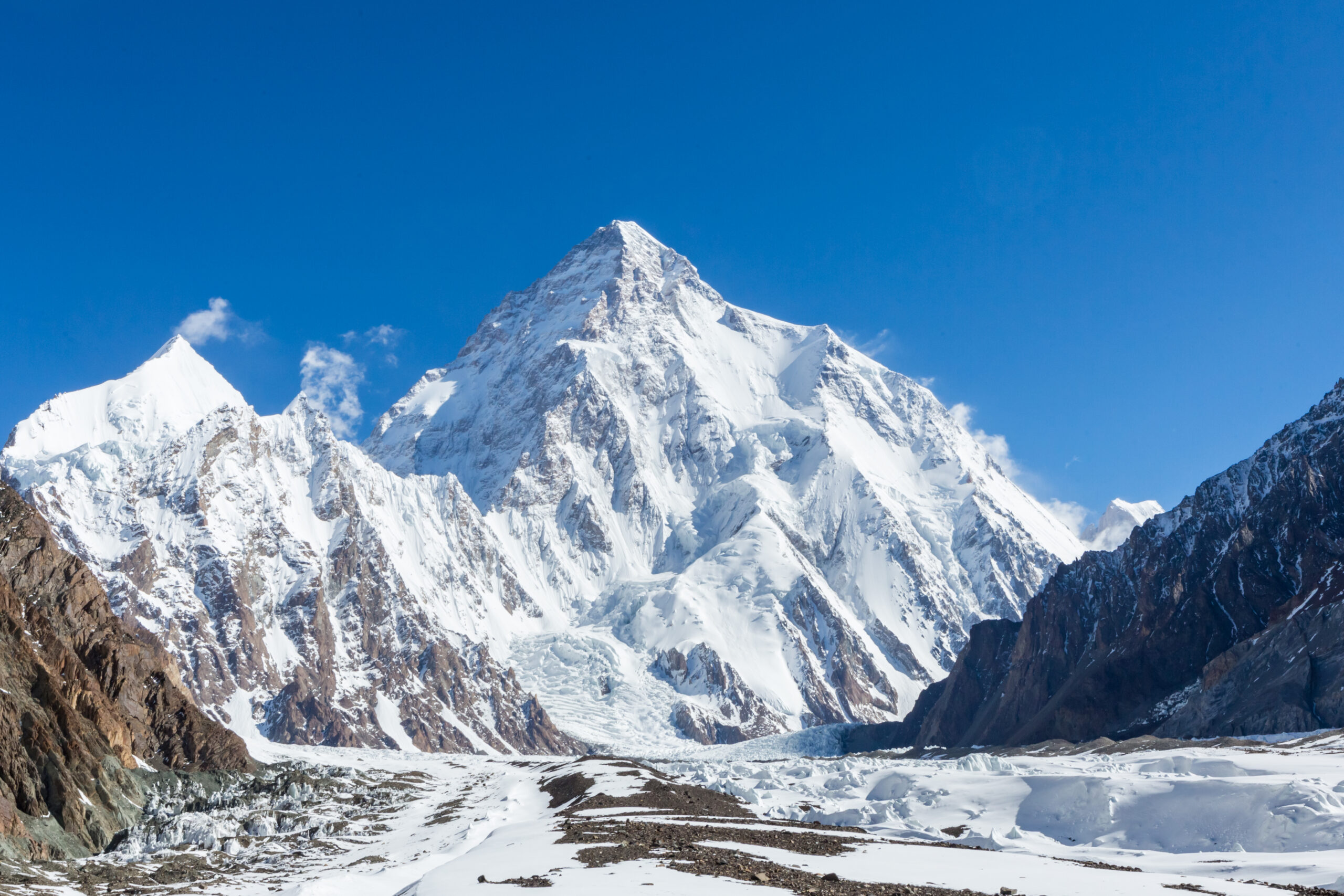
K2 is lower than Everest, but height alone does not determine difficulty.
Everest is 237.86 m taller. K2’s standard route is more technically sustained, its weather window is narrower, rescue margin is smaller, and the descent remains highly technical. For the full comparison, use Everest vs K2.
Who Should Attempt K2?
K2 is an integration objective: the climber should already own the underlying skills before arriving at Base Camp.
| Capability | Reasonable K2 baseline | Not ready if… |
|---|---|---|
| 8,000 m experience | Previous serious death-zone expedition, ideally including summit and safe descent | K2 would be your first exposure above 8,000 m |
| Fixed lines | Independent ascent/descent, passing and transitions while fatigued | You need a guide for every transition |
| Mixed terrain | Comfortable on sustained rock, snow, ice and mixed climbing in expedition boots | Your experience is mostly moderate snow walking |
| Glacier systems | Functional rope-team and rescue competence | Your only experience is classroom-based |
| High camps | Stove, hydration, oxygen, regulator, cold injury and gear self-management | You have never managed these systems independently |
| Judgment | Proven willingness to abandon a summit after major time and money are invested | Sunk cost would push you into a marginal window |
K2 should not be the direct next step after Aconcagua or Denali.
Those mountains can build altitude, expedition rhythm and cold systems, but they do not reproduce sustained technical fixed-line movement above 7,000 m. A stronger progression adds technical 6,000–7,000 m objectives and one or more prior 8,000 m expeditions.
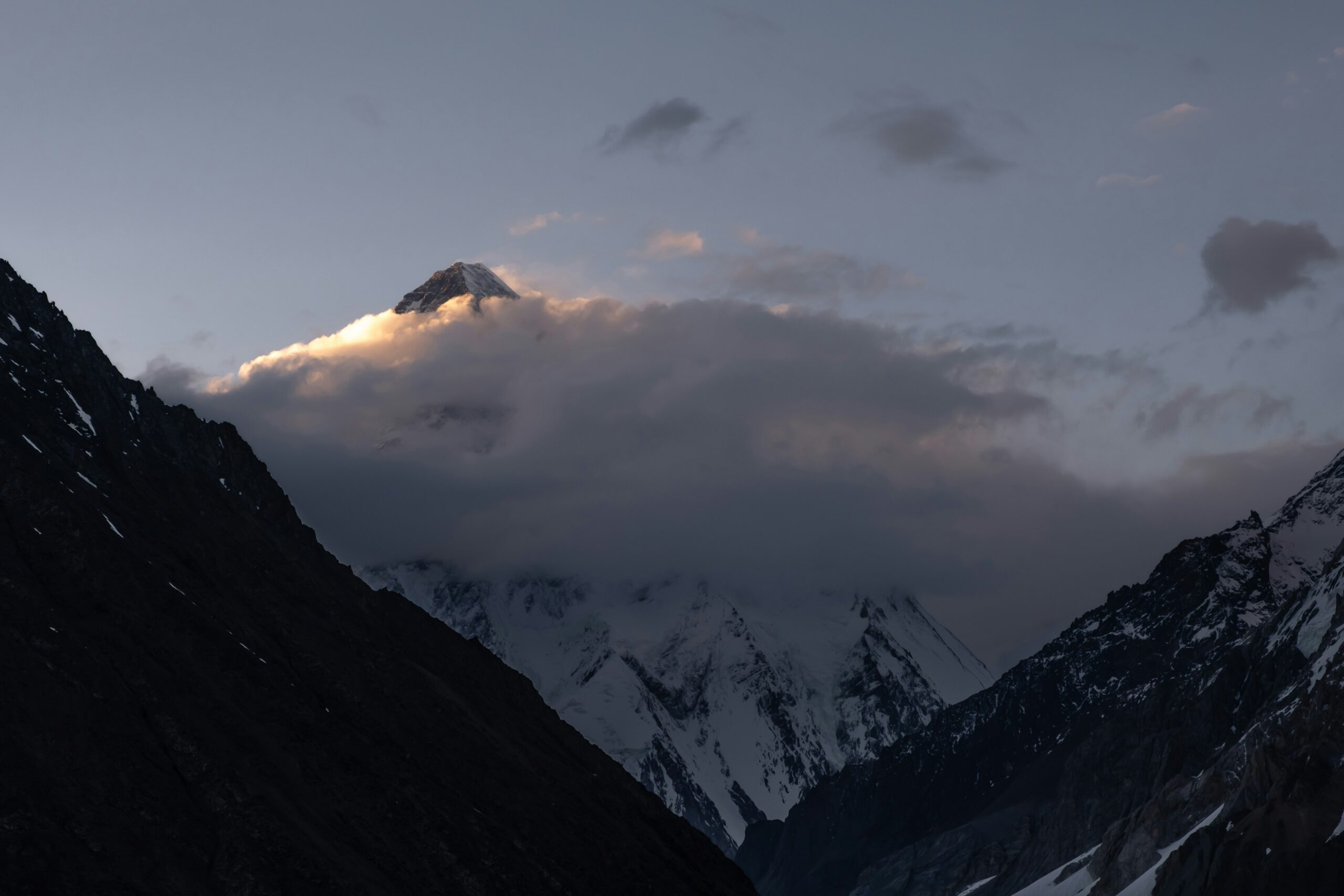
Fixed ropes do not turn K2 into a guided trail.
Ropes can be delayed, damaged, congested or poorly placed. The climber still has to move through technical terrain after the summit, when dexterity, warmth, oxygen systems and judgment are most degraded.
K2 Routes: Abruzzi, Cesen, North Ridge & Historic Lines
The parent summarizes route choice; the route atlas and comparison pages own the detailed route queries.
| Route family | Planning role | Terrain | Support | Who it fits |
|---|---|---|---|---|
| Abruzzi Spur | Commercial standard | Rock, snow and mixed terrain through House’s Chimney and Black Pyramid | Strongest seasonal rope/camp infrastructure | Most supported teams |
| Cesen / Basque | Principal Pakistan-side alternative | Steeper lower snow/ice and mixed terrain | More season/operator dependent | Leader-selected alternative |
| North Ridge | Specialist China-side expedition | Remote ridge system and different upper mountain | Minimal normal commercial support | Elite self-sufficient teams |
| Magic Line / Polish Line / faces | Historic extreme alpinism | Sustained high-end technical climbing | Little routine support | World-class alpinists |
For route diagrams and detailed progression, use All K2 Routes. For the practical Abruzzi-vs-Cesen decision, use the K2 Route Comparison.
Abruzzi Spur Terrain & Camp Profile
Camp elevations move by year. Use this as a terrain sequence—not as navigation data.
Base Camp · ~5,100–5,200 m
Weather, communications, medical baseline, acclimatization, food, equipment repair and expedition logistics.
Camp 1 · ~6,000–6,100 m
Lower ridge, steep snow, rock and early altitude stress.
House’s Chimney · ~6,500 m
Steep rock/mixed climbing that tests fixed-line passing and movement in bulky gear.
Black Pyramid · ~6,700–7,300 m
Sustained rock, snow, ice and mixed climbing; one of the route’s defining technical sections.
Camp 3 · ~7,200–7,400 m
High recovery point where avalanche exposure, oxygen planning and acclimatization become increasingly decisive.
Shoulder · ~7,800–8,000 m
Broad high terrain before the final summit cycle.
Bottleneck · ~8,200 m
Steep couloir and traverse beneath hanging ice in the death zone.
Summit · 8,611 m
The descent immediately repeats the upper route under extreme fatigue.
The Bottleneck Cannot Be Made Safe
Timing and skill can reduce exposure. Neither controls the serac.
What climbers can influence
- Departure timing.
- Movement speed and rope transitions.
- Spacing and queue management.
- Turnaround time.
- Weather-window selection.
- Oxygen and equipment redundancy.
What climbers cannot control
- Whether hanging ice releases.
- Serac stability with certainty.
- Other teams creating congestion.
- Sudden route damage.
- Extreme-altitude deterioration.
- Whether a rescue is possible above the Bottleneck.
The 2008 disaster remains the clearest example of how serac release and damaged ropes can turn a successful summit day into a descent emergency. The dedicated route pages carry the deeper Bottleneck discussion.
Why a K2 Expedition Takes About 47–60 Days
Most of the calendar is access, acclimatization, recovery and waiting—not continuous upward climbing.
| Phase | Typical role | Why time is required |
|---|---|---|
| Pakistan arrival | Islamabad briefing, paperwork, domestic transfer | Permit, baggage and flight/road contingencies |
| Skardu → Askole | Final road logistics | Road and weather delays are normal variables |
| Baltoro approach | Multi-day trek to Concordia/K2 Base Camp | Remote glacier access cannot be compressed like an Alpine hut approach |
| Lower rotations | Camp 1 / 2 exposure and recovery | Altitude adaptation plus route-fixing progress |
| Upper rotation | Camp 3 / Shoulder exposure | Test acclimatization and high-camp systems |
| Recovery | Return to Base Camp | Restore sleep, hydration, appetite and technical efficiency |
| Weather wait | Often many days | K2’s summit opportunity is a narrow multi-day high-altitude window |
| Summit cycle | BC → high camps → summit → descent | Several days of high-altitude movement even when the window arrives |
| Baltoro exit | Return trek / road / domestic flight | The expedition is not finished when the climber reaches Base Camp again |
A 47-day itinerary is not “better” than a 60-day itinerary.
Compare what the operator is assuming about pre-acclimatization, rotations, weather days, road/flight contingency and departure flexibility. The real question is whether the itinerary has enough margin for the mountain—not how efficiently it fills a calendar.
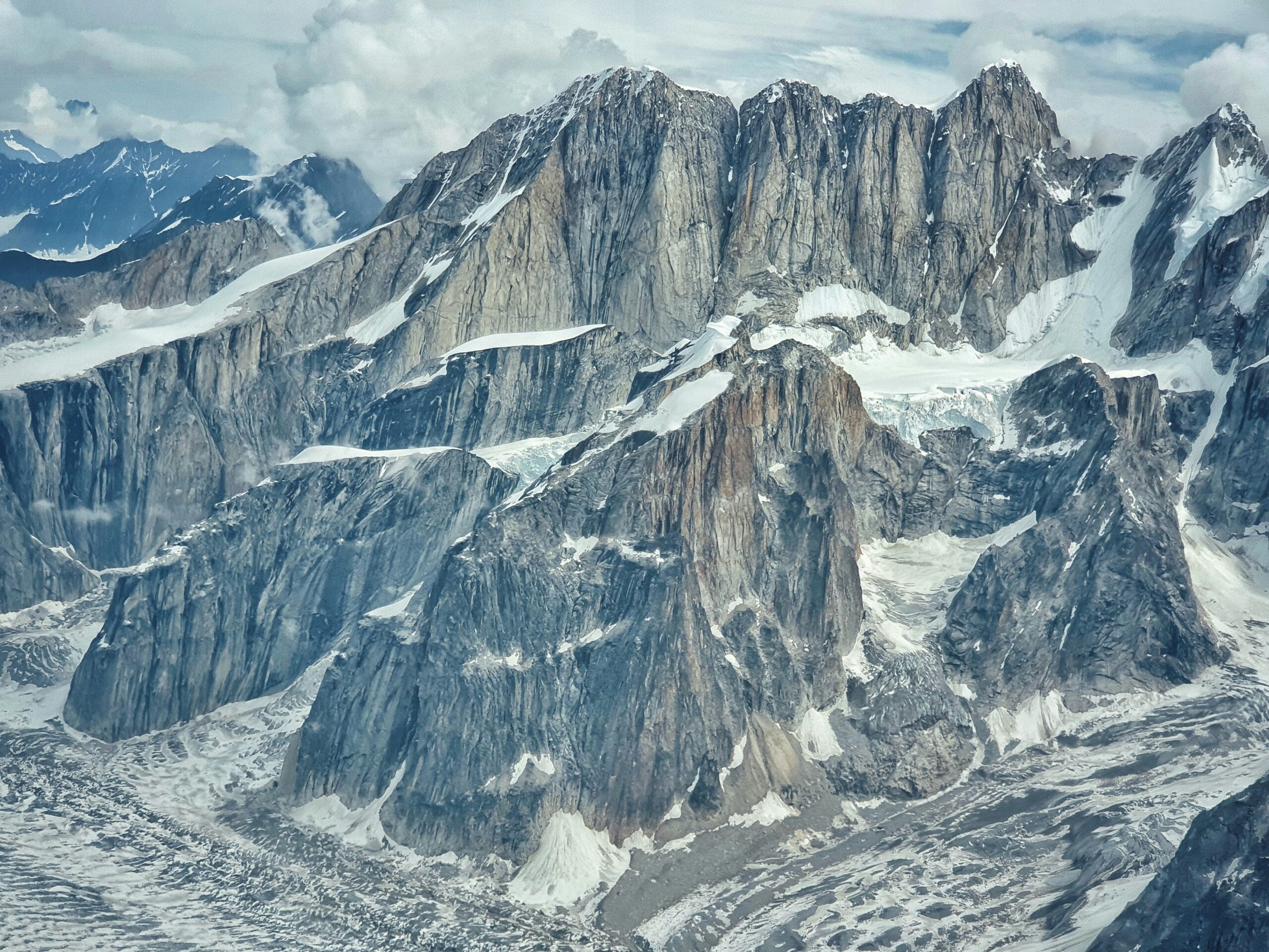
Islamabad → Skardu → Askole → Baltoro → Concordia → K2 Base Camp
Gilgit-Baltistan Tourism identifies Skardu as the gateway and the Baltoro/Concordia corridor as the traditional Pakistan-side approach. The remoteness is part of K2’s commitment.
K2 Permit & Royalty: Use the Official Gilgit-Baltistan Tariff
The previous parent used an individual US$3,500 figure that conflicts with the government’s current public K2 tariff page.
The official public K2 page currently lists a team-based royalty.
The Government of Gilgit-Baltistan Tourism, Sports, Culture, Archaeology & Museums Department currently lists US$12,000 for a K2 climbing party of up to seven members, plus US$3,000 for each additional member beyond seven. The same page says the tariff was reinstated under the Mountaineering and Trekking Rules and took effect January 1, 2023.
A separate 2025 department advisory reiterates that Gilgit-Baltistan Tourism is the sole permit authority, that an expedition must be associated with a registered tour company, and that required insurance certificates for local staff are part of the permit process.
- K2 published team royalty: US$12,000 for up to 7.
- Additional member: US$3,000 each beyond 7.
- Permit authority: Gilgit-Baltistan Tourism Department.
- Registered local company: required.
- Local worker insurance: required under current department policy.
- Before payment: verify the live tariff directly.
Official source: Government of Gilgit-Baltistan — K2. For the application workflow and future tariff changes, use the K2 Permits & Fees child.
Best Time to Climb K2
The commercial season is broad; the actual summit opportunity is narrow.
Approach & Setup
Baltoro travel, Base Camp and lower route preparation.
Rotations
Lower/middle-mountain acclimatization and rope-fixing progress.
Recovery & Watch
Team recovery, upper-route progress and high-altitude forecast monitoring.
Primary Window
The strongest historic summit period, but only when the weather and route align.
Use the dedicated K2 Weather & Best Season page for the evergreen timing model and the K2 Season Tracker for temporary rope-fixing or summit-window developments.
Why Is K2 So Hard to Climb?
K2 is not defined by one hard move. It stacks multiple hard systems until small failures compound.
Sustained Technical Terrain
House’s Chimney and the Black Pyramid demand technical movement before the climber even reaches 7,500 m.
Extreme Altitude
Technical accuracy, coordination, judgment, hydration and warmth deteriorate in the death zone.
Bottleneck Serac
Objective exposure cannot be eliminated by skill or fixed ropes.
Short Weather Window
Wind and fresh snow can erase weeks of route work or end the season.
Technical Descent
The same ridge, fixed ropes and Bottleneck must be descended after the summit.
Limited Rescue
Above the upper camps, prevention and self-rescue matter far more than theoretical helicopter availability.
For ranking context, see Eight-Thousanders Ranked by Difficulty and 10 Hardest Mountains to Climb.
Oxygen, High-Altitude Staff & Team Systems
Two expeditions on the same Abruzzi Spur can be radically different products.
| System | Questions to resolve | Why it matters |
|---|---|---|
| Supplemental oxygen | Cylinder count, flow plan, cache location, mask/regulator and spare parts | “Oxygen included” does not define redundancy. |
| Guide ratio | Named guide or climbing Sherpa assignment on summit cycle | Base Camp staff count is not summit-day support. |
| High-altitude workers | Load role, rope fixing, oxygen carrying, insurance and summit assignment | Workload assumptions affect both client independence and staff exposure. |
| Team size | Clients + guides + workers + partner teams on shared ropes | A small advertised client team can still meet a large queue. |
| Weather | Named forecaster, update cadence and decision authority | A forecast is useful only if leadership will wait. |
| Communication | Radio, satellite redundancy, tracking | Communication supports decisions; it does not create rescue capacity. |
How to Choose a K2 Operator
The operator page owns company-by-company comparison; the parent owns the decision criteria.
Who Makes the Summit Call?
Ask for the actual expedition leader and recent K2 decision history.
Who Is Above Camp 3?
Clarify the real client-to-guide or Sherpa ratio during the summit cycle.
How Much Redundancy?
Get cylinder count, flow model, spare regulator and failure plan in writing.
Will the Team Turn Around?
Ask for examples of prior seasons where leadership walked away.
Use the dedicated K2 Operators comparison and What an Expedition Price Should Include before comparing quotes.
K2 Expedition Cost
The market is wide because the products are not equivalent.
| Cost layer | Planning range | What changes the price |
|---|---|---|
| Local logistics / limited support | Often $25,000–$40,000 | Guide assignment, oxygen, high-altitude labor and personal independence |
| Mid-range supported expedition | Often $40,000–$65,000 | Team size, leadership, oxygen and summit staffing |
| Premium small-team program | Often $65,000–$95,000+ | Guide ratio, pre-acclimatization, specialist forecast, oxygen and flexibility |
| Official K2 climbing royalty | $12,000 per party up to 7 + $3,000/additional | Current public GB schedule; confirm before payment |
| Personal gear | Potential $5,000–$15,000+ gap | Existing boots, down suit, sleep system, hardware and electronics |
| Travel / insurance / contingency | Often $3,000–$12,000+ | Origin, flights, hotels, policy wording, baggage and delays |
K2 Death Rate & Summit Success
The parent gives the current headline only. The dedicated data pages own the methodology.
Current GSG historical calculation: 92 deaths / 964 summits = 9.54%
Global Summit Guide’s closed-through-2025 K2 compilation records 92 deaths and 964 successful summits. That produces a 9.54% death-to-summit ratio. It is not the probability that one climber dies on one attempt because deaths and summits do not form the complete attempt population.
The famous “one death for every four summits” or 22–25% figure describes an older era when the cumulative summit denominator was much smaller.
- 92 compiled deaths through 2025.
- 964 compiled summits through 2025.
- 9.54% death-to-summit ratio.
- Not a per-attempt fatality probability.
- Historic 25% shorthand is outdated as a current cumulative ratio.
Use K2 Death Rate for the full calculation and K2 Summit Success Rate for outcome definitions.
Where K2 Fits in a Responsible Progression
A pile of altitude summits is not enough if the technical systems are missing.
Useful building blocks
What the résumé should prove
- Efficient fixed-line movement while exhausted.
- Cold and glove management.
- High-camp independence.
- Oxygen and regulator troubleshooting.
- Technical descent under fatigue.
- Conservative decisions after major sunk cost.
K2 First Ascent, Winter First & Reputation
History belongs in the parent only where it helps explain the mountain.
Duke of the Abruzzi
Exploration of the Southeast Ridge established the route family that became the standard.
First Summit
Achille Compagnoni and Lino Lacedelli summited July 31 with the Italian expedition.
Bottleneck Disaster
Serac release and rope damage turned summit success into a catastrophic descent.
First Winter Summit
Ten Nepali climbers summited together on January 16—the last winter first among the 8,000ers.
The K2 Planning Library
The parent answers the broad decision. Each child owns one narrower query family in depth.
All K2 Routes
Abruzzi, Cesen, North Ridge, Magic Line, Polish Line and historic systems.
Open route atlas → Route decisionAbruzzi vs Cesen
Compare hazards, ropes, camps and team fit.
Compare routes → OperatorsK2 Operators
Leadership, team size, guide ratios, oxygen, support and contracts.
Compare operators → PermitsK2 Permits & Fees
Application structure, live tariff verification, insurance and legal process.
Plan permits → WeatherBest Time to Climb K2
Jet stream, snow loading and summit-window timing.
Plan timing → TrainingK2 Training Plan
Endurance, technical durability and fixed-line efficiency.
Build readiness → GearK2 Gear List
8,000 m boots, down suit, oxygen compatibility and redundancy.
Build gear system → RiskK2 Death Rate
Current vs historic ratio and denominator methodology.
Read risk data → OutcomesK2 Summit Success
Member, expedition and summit-event success definitions.
Read success data → Current seasonK2 Season Tracker
Temporary expedition and summit-window developments stay off the evergreen parent.
Follow season → ComparisonEverest vs K2
Altitude, technical terrain, infrastructure, rescue, cost and descent.
Compare giants → CollectionAll 14 Eight-Thousanders
Place K2 inside the complete 8,000 m mountain system.
Open collection →Strengthen the Decision System Around K2
These links support readiness and commercial due diligence without cannibalizing K2 child pages.
What Should Be Included in an Expedition Price?
Use a line-item matrix to compare oxygen, staffing, tents, weather, rescue communication and exclusions.
Audit the Quote →Mountain Weather for Climbers
K2’s window depends on wind, precipitation, temperature and multi-day forecast uncertainty—not a date on a calendar.
Open Weather Guide →K2 Climbing FAQ
These answers target the parent’s broad queries without stealing deeper child intent.
How high is K2?
K2 is 8,611 m (28,251 ft), the second-highest mountain on Earth after Everest and the highest point of the Karakoram.
Where is K2?
K2 rises on the Pakistan–China border in the Karakoram. Nearly all modern supported expeditions approach from Gilgit-Baltistan, Pakistan via Skardu, Askole, the Baltoro Glacier and Concordia.
What is the standard route on K2?
The Abruzzi Spur, or Southeast Ridge, is the standard supported route. It passes House’s Chimney, the Black Pyramid, Shoulder and Bottleneck and normally has the strongest seasonal rope/camp infrastructure.
How long does it take to climb K2?
Most supported expedition programs occupy roughly 47–60 days from arrival in Pakistan through the Baltoro approach, acclimatization rotations, weather waiting, summit cycle, descent and return travel.
How much does it cost to climb K2?
Supported commercial programs commonly range from about $35,000 to $95,000+, with lower-cost logistics programs below that and all-in personal costs above it once gear, travel, insurance, tips and contingency are included.
How much is the official K2 climbing royalty?
The current public Gilgit-Baltistan Tourism K2 page lists US$12,000 for a climbing party of up to seven members and US$3,000 for each additional member beyond seven. Confirm the live tariff directly with the Department and registered operator before payment.
Is K2 harder than Everest?
On their standard routes, K2 is more technically sustained and more committing. Everest is taller and presents a greater altitude burden, but it has substantially more fixed infrastructure and rescue/support capacity.
What is K2’s death rate?
Global Summit Guide’s closed-through-2025 compilation uses 92 deaths and 964 summits, a 9.54% death-to-summit ratio. That is not a per-attempt fatality probability. The historic 22–25% shorthand is outdated as a current cumulative ratio.
Can K2 be a first 8,000-meter peak?
It should not be. A serious candidate should already have extreme-altitude expedition experience plus strong fixed-line, mixed-climbing, glacier, high-camp and descent systems.
When is the best time to climb K2?
The practical expedition season is the Karakoram summer, with the strongest summit opportunity usually in late July and sometimes early August. The actual window depends on route condition and a multi-day high-altitude forecast.
How Global Summit Guide Maintains the K2 Parent
Official permit rules, historic route facts, operator market data and GSG statistical pages are treated as different evidence classes.
Primary references
- Government of Gilgit-Baltistan — K2: 8,611 m, Pakistan-side approach and current public royalty schedule.
- Gilgit-Baltistan Tourism permit advisory: sole permit authority, registered tour company and insurance requirements.
- American Alpine Journal and established expedition histories for route/first-ascent context.
- Current commercial operators for supported-market ranges, program length and support structures.
- Global Summit Guide K2 Death Rate for the closed-through-2025 92 / 964 statistical framework.
August 15, 2026 corrections
- Removed the parent’s unsupported “about US$3,500 per climber” permit statement.
- Restored the current official public tariff: $12,000 for a K2 party up to 7 + $3,000/additional member.
- Removed 2026 from the permanent SEO title to strengthen evergreen “K2 climbing guide” intent.
- Expanded direct coverage of “how to climb K2” and “how long does it take to climb K2.”
- Preserved the August 10 parent-child architecture and corrected death-rate framing.
- Kept current-season developments on the separate K2 tracker.
What must be rechecked before an actual expedition
The live government tariff, operator permit inclusion, fixed ropes, camp locations, route condition, serac observations, weather window, named leader, summit-cycle staffing, oxygen plan, insurance, road/flight access and current legal requirements.
K2 Is a System of Route, Time, Support, Weather, Cost, Risk & Judgment.
Use this guide to decide whether K2 belongs in your progression. Then move into the dedicated route, permit, operator, weather, gear, training and risk pages before treating an expedition as bookable.
Explore K2’s Disaster Record
The Bottleneck and upper mountain make more sense when viewed alongside the disasters and seasons that shaped K2’s modern reputation.
K2 Research HubK2 DisastersExplore the 2008 Bottleneck disaster, the 1986 Black Summer, the 2021 winter deaths and the wider history behind K2’s risk profile.→This peak is one of the 14 mountains on Earth above 8,000 meters
The 14 eight-thousanders are the only mountains on Earth that rise above 8,000m — the altitude where the human body enters the Death Zone. See the complete collection ranked by elevation, with death rates, first ascent history, and the Messner/Kukuczka/Nims Purja completion records.
View All 14 Eight-Thousanders →🏔 Part of the 14 Eight-Thousanders
One of the 14 mountains on Earth above 8,000m. See the complete collection with death rates, first ascents, and the 14 Peaks Challenge history.
View All 14 Eight-Thousanders →Was this helpful?
🏔Related peaks nearby
🧭Explore & compare
Global Summit Guide is an independent mountaineering resource founded in 2026. The team combines first-hand trekking and climbing experience with in-depth research and professional health and nutrition review to help climbers choose objectives, prepare properly, and stay safe.
Health, altitude, and nutrition content is reviewed by Taylor Ludlow (Registered Nurse) and Brigg Hoopes (Nutritionist).
What We Don't Know Yet
Mountain information changes quickly. This box explains the limits of what this page can responsibly promise.
- Permit availability, reservation windows, quotas, and official fee rules may change after this page is updated.
- Route conditions, trailhead access, crevasse exposure, stream crossings, and rescue access may vary from published planning guidance.
- Total trip cost can change with flights, lodging, guide pricing, permits, gear rentals, transportation, and exchange rates.
- Visa, passport, vaccination, border, insurance, and local transportation rules may change before your trip.
Verify current conditions with official land managers, guide services, local forecasts, and current route reports before booking or climbing.
Mountaineering, rock and ice climbing, glacier travel, and high-altitude activity are inherently dangerous and can result in serious injury or death. The information on Global Summit Guide is provided for general informational and educational purposes only and is not a substitute for professional instruction, qualified guiding, proper equipment, or your own judgment and experience.
Route conditions, weather, snowpack, permits, regulations, and hazards change constantly and may differ from what is described here. Details may be incomplete, out of date, or contain errors. Always verify current information with local authorities, certified guides, and official sources before making any decision in the mountains.
Nothing on this site is medical, legal, or financial advice. Our fitness, acclimatization, altitude, and nutrition content is general in nature; consult a qualified physician before beginning any strenuous exercise program or exposing yourself to high altitude.
You are solely responsible for your own safety and decisions. To the fullest extent permitted by law, Global Summit Guide and its team accept no liability for any loss, injury, damage, or expense arising from use of, or reliance on, this information. By using this site you acknowledge these risks and accept these terms.
Some links on this site may be affiliate links. If you buy through them we may earn a small commission at no extra cost to you; this never affects our recommendations.
Global Summit Guide recommendation path
Next Best Mountain to Research
Use these recommendations to continue the right planning path instead of stopping on one page.
Use current permit, weather, route, and operator information before booking or climbing.
Search Flights, Hotels & Rental Cars
Have the mountain or destination picked? Use Expedia to compare the flights, lodging and rental cars that fit your actual trip dates. For mountain travel, consider arriving early enough for delays and adding a buffer night after the climb before a fixed flight home.
Compare current flight, hotel and car options.
Affiliate disclosure: Global Summit Guide may earn a commission if you book through this link, at no additional cost to you.