
Last updated August 16, 2026
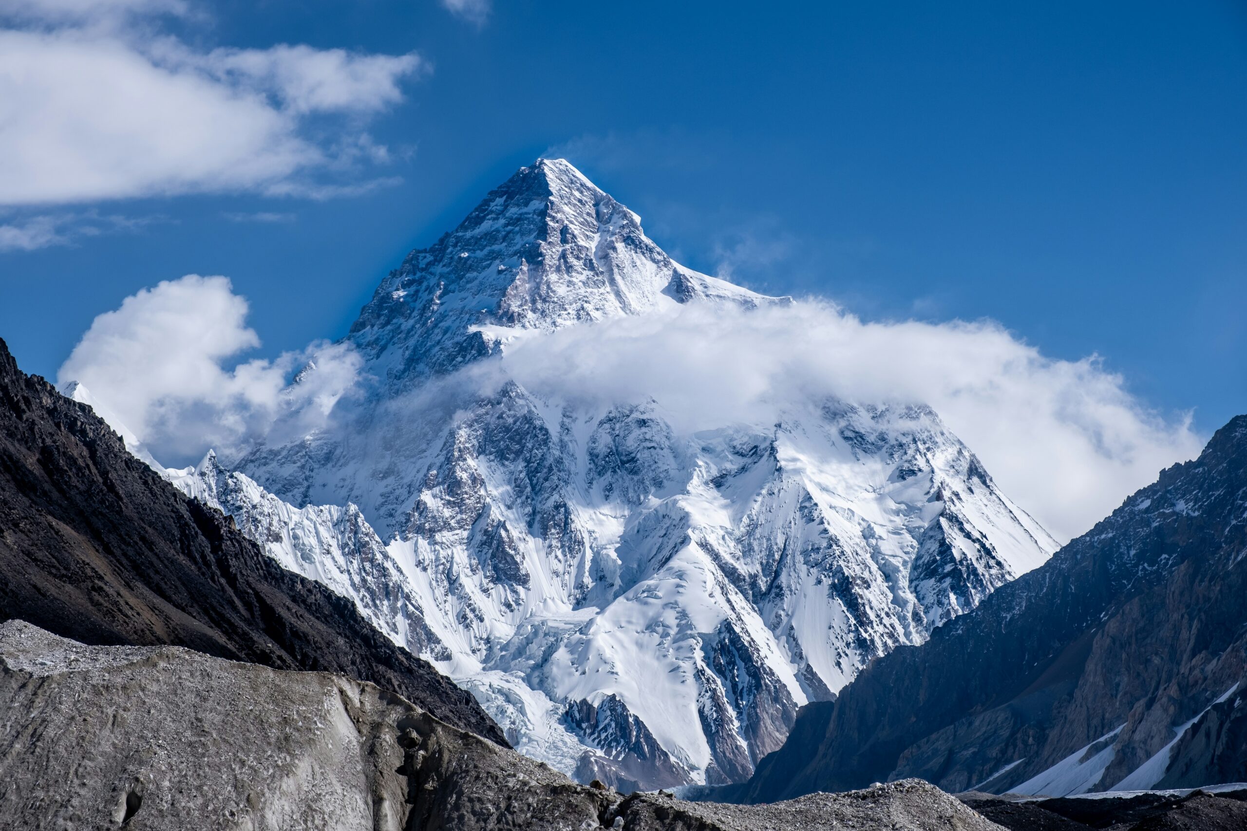
K2 Weather by Month: When Conditions Are Least Severe
July is K2’s main climbing month because the summit environment is climatologically least severe in midsummer—but “best” still means extreme. A peer-reviewed ERA5 analysis found July mean summit conditions around −21°C with mean wind near 15 m/s and a modeled wind-chill equivalent near −37°C. Actual summit days are selected short windows within that harsh monthly background, not average July days.
Reviewed August 16, 2026 · ERA5 summit-climate research + American Alpine Journal expedition records · Not an operational forecast
What month has the best weather for K2?
July is the central climatological answer. The peer-reviewed K2 summit-environment study explicitly treats July as K2’s main climbing season and found its highest annual modeled summit pressure in July, with much lower wind and warmer temperatures than winter.
In expedition practice, many successful summit pushes cluster in late July because atmospheric conditions, acclimatization and route preparation often converge then. Early August can still produce a usable weather period, but it should be treated as a possible extension—not a guaranteed second season.
For permits, access, rope fixing and the broader expedition calendar, see K2 Climbing Season & Conditions. This guide focuses on the weather patterns that shape whether a summit attempt is even possible.
- Best climate month: July.
- Most useful planning period: late July, with early August as a possible extension.
- Primary atmospheric blocker: upper-mountain wind.
- Other blockers: fresh snow, loading, visibility and cold.
- Base Camp forecast: not a summit forecast.
- Monthly mean: not a safe threshold.
What July Looks Like at K2’s Summit
ERA5 reanalysis gives us a useful baseline for why July is the normal climbing month.
| Summit variable | K2 July monthly mean | Why it matters |
|---|---|---|
| Barometric pressure | 347 ± 1 hPa | Highest modeled monthly pressure of the year in the study; still extreme hypoxia. |
| Air temperature | −21 ± 1°C | Warmer than winter, but severe cold remains normal at 8,611 m. |
| Wind speed | 15 ± 3 m/s | Monthly mean; actual summit windows require substantially favorable short-term trends. |
| Wind-chill equivalent | −37 ± 2°C | Shows why “summer” does not mean mild high-altitude conditions. |
| Modeled frostbite time | 11 ± 2 min | Illustrates the thermal severity of average modeled summit exposure. |
Do not turn these means into operating limits.
A monthly average mixes storms, marginal days and rare favorable periods. Expeditions do not summit because July averages 15 m/s wind; they wait for a short forecast window with a defensible trend across the full ascent and descent period.
K2 Weather by Month
These monthly patterns show why July is the central climbing month and why conditions outside midsummer become progressively less favorable.
Upper winds generally ease compared with winter/spring, but residual snow, fresh disturbances and unsettled route conditions can still dominate. June is more important for approach and acclimatization than for summit climatology.
The primary K2 month: modeled pressure is highest, summit temperature is least severe, and upper-level wind is much lower than winter. Late July often aligns with expedition readiness.
Early August can remain viable if the route stays established and a stable forecast appears. Teams must weigh changing circulation, accumulated fatigue and infrastructure withdrawal.
Shorter daylight, lower pressure, stronger seasonal wind and severe cold progressively separate off-season climbing from the normal K2 expedition model.
For the expedition calendar rather than atmospheric conditions, use K2 Climbing Season, Conditions & Permits.
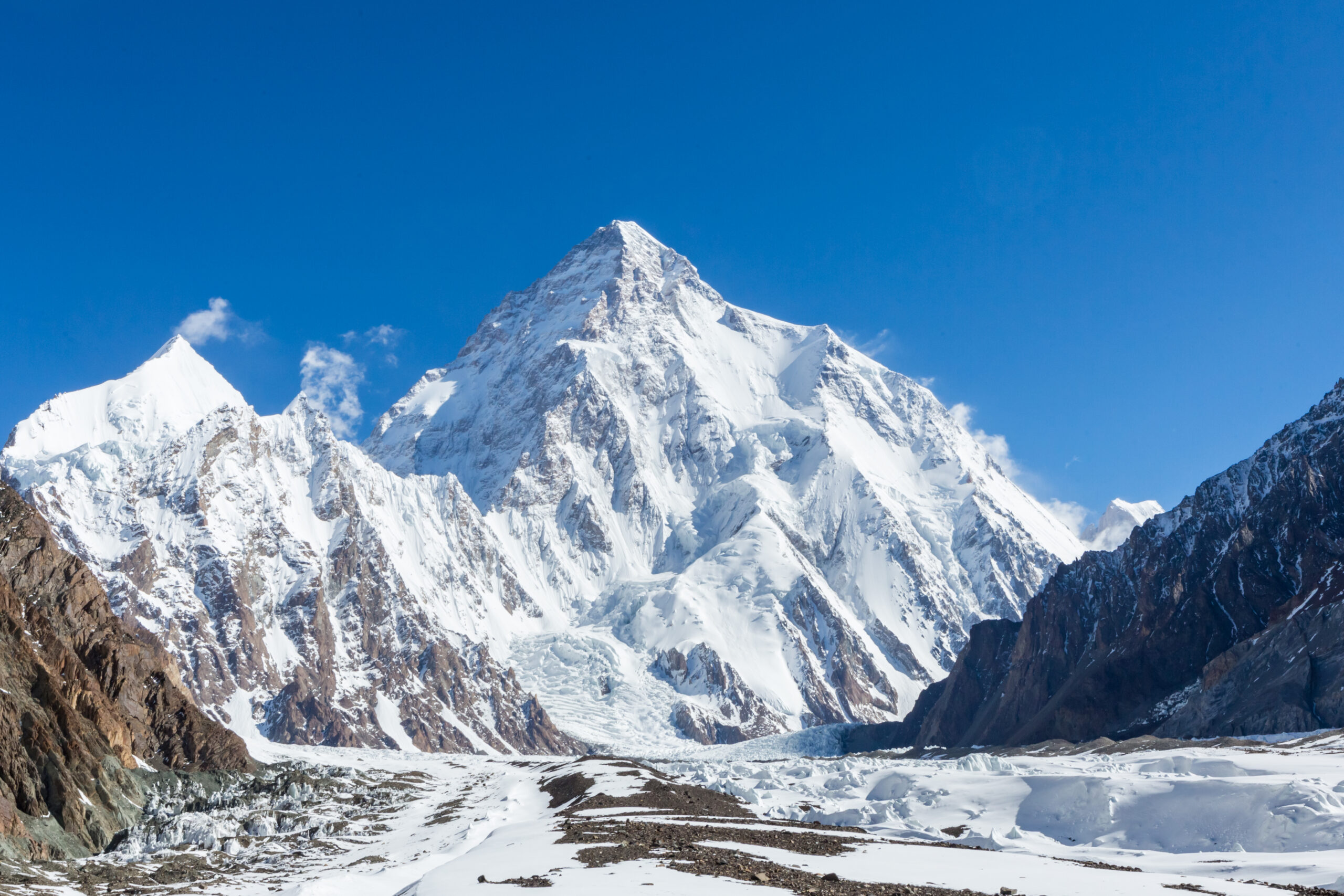
Upper-mountain wind can close K2 even when Base Camp looks calm.
Summer weakens and shifts the strongest subtropical jet influence, but K2 still needs a short low-wind period long enough for high-camp movement, summit day and descent.
How to Think About Wind on K2
There is no responsible universal “safe wind speed” that applies to every K2 climber, route state and forecast.
Upper-level trend
Look for whether the strongest flow is weakening, strengthening or shifting—not just one favorable hourly point.
Duration
A calm summit hour is useless if winds build during the Bottleneck descent or before the team reaches Camp 4.
Model agreement
Professional expedition forecasting weighs multiple products and uncertainty rather than treating a single model output as truth.
Temperature interaction
The same wind creates different thermal consequences depending on air temperature, sun, clothing, oxygen use and exposure time.
Camp security
High wind can destroy tents, expose caches and end the push before anyone reaches the Bottleneck.
Climber speed
Slower teams spend longer in cold, wind and objective-hazard zones, so forecast margin is partly a human-performance problem.
Snowfall, Monsoon Moisture & Western Disturbances
K2 can receive damaging summer snow from more than one atmospheric pathway.
Monsoon influence
The Karakoram lies west and north of the strongest central-Himalaya monsoon core, which helps explain why July can be a climbing month. But summer moisture can still reach the range and contribute to cloud, snowfall and loading.
Western disturbances
Western disturbances are upper-level trough systems associated with major precipitation across the western Himalaya, Hindu Kush and Karakoram. Recent climate research shows their season can extend into late spring and early summer, so “monsoon vs no monsoon” is too simple a framework.
Weather by Elevation Zone
Base Camp comfort can coexist with destructive summit wind.
| Zone | Weather problem | Planning implication |
|---|---|---|
| Skardu / road approach | Heat, rain, landslides, flight visibility | Weather can consume schedule margin before the mountain begins. |
| Baltoro approach | Precipitation, glacier heat, stream flow, wind | Approach conditions affect recovery and arrival timing. |
| K2 Base Camp ~5,150 m | Sunny warmth alternating with freezing nights and snowfall | Useful for recovery; poor proxy for the summit. |
| Camps 1–2 | Freeze-thaw, rockfall, snow bridges, icing | Lower-route weather controls fixing speed and movement timing. |
| Camp 3 / Shoulder | Wind, loading, tent security, avalanche condition | High-camp survival and oxygen/camp integrity become central. |
| Camp 4 → summit | Severe cold, hypoxia, wind chill, cloud and visibility | The forecast must protect the return through the same technical terrain. |
How Weather Changes the Abruzzi Spur
Different sections respond differently to warming, snow, icing and wind.
| Route section | Weather sensitivity | Operational consequence |
|---|---|---|
| Lower Abruzzi | Sun, warmth, freeze-thaw, precipitation transition | Rockfall and snow condition can change rapidly. |
| House’s Chimney | Ice, spindrift, snowfall and fixed-rope icing | A technical bottleneck becomes slower and colder. |
| Black Pyramid | Wind, spindrift and mixed-terrain icing | Fixing and climber flow can stall on sustained technical ground. |
| Shoulder / Camp 4 | Wind and new-snow loading | Tent security and summit staging can fail before the final push. |
| Bottleneck | Visibility, wind, snowfall and serac environment | Congestion magnifies exposure time beneath objective hazard. |
| Summit/descent | Wind trend, cloud, severe cold | Weather must remain usable after the summit, not just before it. |
For route geography rather than weather, use the K2 Routes Guide.
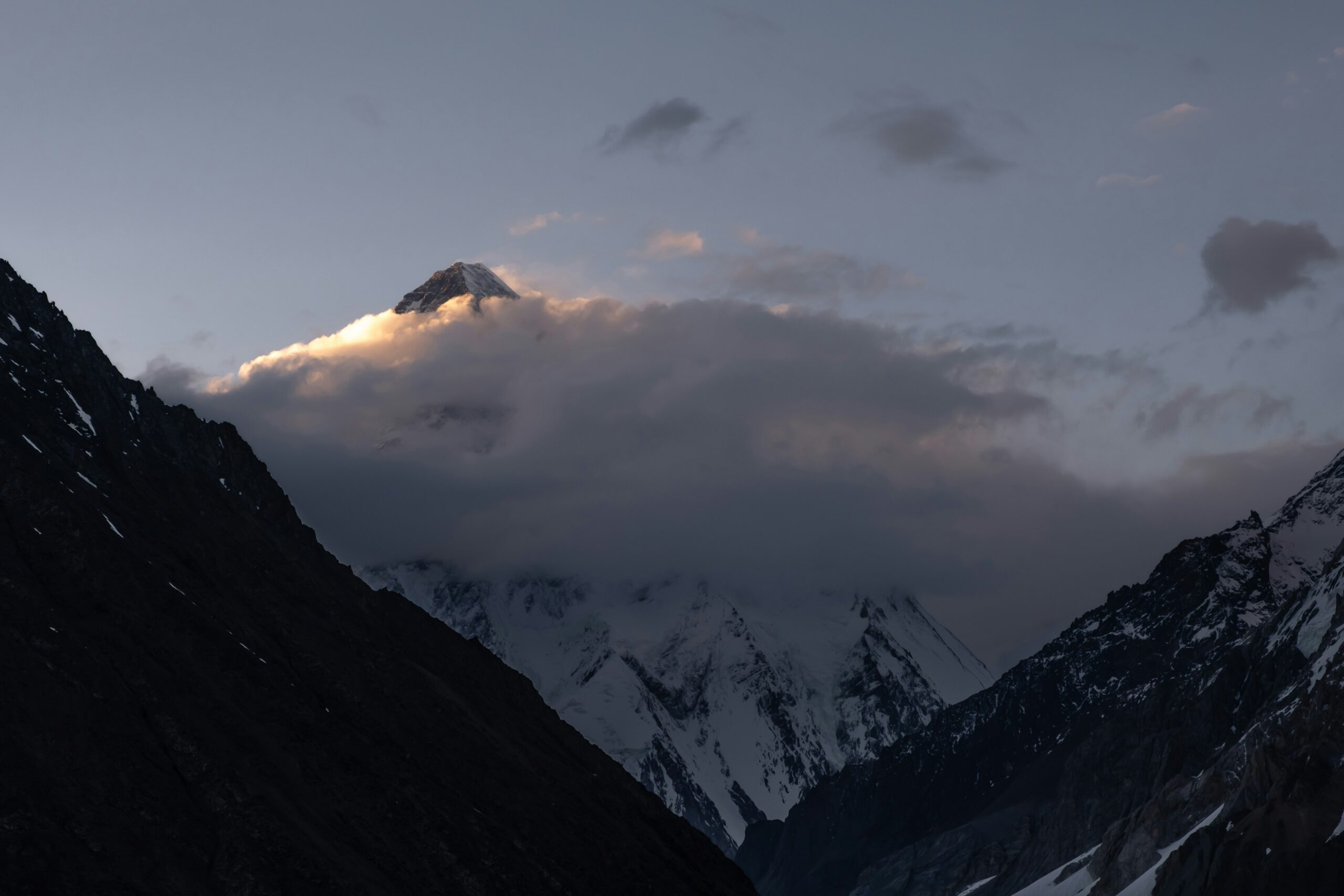
Good weather is necessary. It is not sufficient.
Wind, new snow and visibility may all improve, but the route can still be unusable if ropes, camps, oxygen or team recovery are not ready. Atmospheric opportunity becomes an expedition opportunity only when both systems align.
What Makes a Credible K2 Weather Window?
A useful weather window still has to align with route, camp and team readiness.
Wind reduction
A sustained upper-mountain trend rather than isolated calm hours.
Limited fresh snow
No recent loading pattern that leaves avalanche or trail-breaking problems unresolved.
Visibility
Cloud and precipitation trend that does not undermine route finding and descent.
Thermal margin
Cold and wind chill remain extreme even in July; the usable period must fit the team and equipment.
Forecast persistence
The favorable signal survives repeated model cycles rather than disappearing every update.
Descent coverage
The window lasts long enough for retreat through the Bottleneck and technical upper route.
Then hand the decision to the expedition system.
Route fixing, team readiness, oxygen/camp logistics, access and permit questions belong on K2 Climbing Season & Conditions and with the active expedition leadership.
How K2 Forecasts Should Be Interpreted
No public forecast replaces an expedition meteorologist or professional route leadership.
Useful forecast questions
- Is upper wind trending down across multiple model runs?
- How much new precipitation is forecast at high elevation?
- Does cloud/visibility deteriorate during the descent period?
- Is there model agreement on timing and duration?
- Does the favorable period persist beyond one isolated hour?
Bad forecast shortcuts
- Using Skardu weather as K2 weather.
- Using Base Camp temperature as summit temperature.
- Publishing one universal “safe” wind threshold.
- Assuming clear sky means low upper-level wind.
- Ignoring snow loading because precipitation has stopped.
Why Winter K2 Is a Different Weather Problem
The first winter ascent in January 2021 occurred in an exceptional window, not a repeatable commercial season.
| Modeled summit climate | July | January |
|---|---|---|
| Pressure | 347 ± 1 hPa | 325 ± 2 hPa |
| Temperature | −21 ± 1°C | −45 ± 1°C |
| Wind | 15 ± 3 m/s | 27 ± 4 m/s |
| Wind-chill equivalent | −37 ± 2°C | −76 ± 2°C |
These are monthly climate means from the same ERA5-based study—not measurements from the January 2021 summit day. Their value is showing why winter cannot be treated as a colder version of the normal July expedition.
K2 Weather, Routes, Season & Expedition Planning
K2 planning is easier when weather, route choice, season timing and live expedition updates are kept in their proper context.
K2 Climbing Guide
Complete broad planning: route, permit, cost, difficulty and timeline.
Open K2 guide → Season & accessK2 Climbing Season
Late-June–August expedition calendar, permits, access, route fixing and operational readiness.
Open season guide → LiveK2 2026 Season Tracker
Dated rope-fixing, teams, summit pushes and current developments.
Follow live season → TerrainK2 Routes
Abruzzi, Cesen, Bottleneck, camps and route geography.
Study routes → OperatorsK2 Operators
Compare forecasting, leadership, fixing participation and support models.
Compare operators → RiskK2 Death Rate
Separate atmospheric danger from historical mortality statistics.
Open risk data → Regional weatherKarakoram Weather Windows
Compare the atmospheric system across K2, Broad Peak and the Gasherbrums.
Open regional explainer → Planning methodMountain Weather
Forecast literacy, uncertainty and decision frameworks across mountain regions.
Open weather hub →Turn Weather Understanding Into Route Readiness
A favorable forecast only matters if the route is established and the climber is ready to move efficiently when the window appears.
Complete K2 Routes Guide
Weather changes House’s Chimney, the Black Pyramid, Shoulder and Bottleneck differently; readers need the route atlas to understand those consequences.
Open Routes →K2 Training Plan
A short weather window rewards climbers who recover quickly from rotations and can move efficiently when the forecast finally aligns.
Open Training Plan →K2 Weather FAQ
Questions about permits, access and the broader expedition calendar are covered in the separate season guide.
What is the best month for K2 weather?
July is K2’s main climbing month and the least-severe summit climate month in the peer-reviewed ERA5 analysis used here. That does not mean every July day is suitable for climbing.
How cold is K2’s summit in July?
The 1979–2019 ERA5 analysis found a July mean summit air temperature of about −21°C, with a modeled wind-chill equivalent around −37°C. These are monthly climatological means, not a summit-day forecast.
How windy is K2 in July?
The same study found a July mean summit wind around 15 m/s. Expeditions wait for favorable short-term wind trends rather than using that monthly mean as an acceptable climbing threshold.
Does the monsoon affect K2?
Yes, but the Karakoram is not affected exactly like the central Himalaya. Summer moisture can still reach K2, while western disturbances and other upper-level systems can also produce snow and cloud.
Why can a clear Base Camp day still be bad on the summit?
K2 spans more than 3,400 vertical meters from Base Camp to summit. Upper-level wind, cloud and temperature can be radically different from conditions on the glacier.
Is there a safe wind speed for K2?
No single number can safely represent every team, temperature, forecast duration, route condition and exposure time. Expeditions use professional forecasting and route leadership rather than a universal threshold.
Can K2 still be climbed in August?
Early August can still provide a viable atmospheric period, but it is a possible extension of the summer window rather than a guaranteed second season. Route and team readiness also matter.
Where should I read about permits and the full K2 climbing season?
Use the dedicated K2 Climbing Season, Conditions & Permits page. This page is intentionally focused on atmosphere, climate and forecast interpretation.
Why is winter K2 so much harder?
The ERA5-based study found January mean K2 summit temperature around −45°C, wind near 27 m/s and modeled wind chill near −76°C—far more severe than July monthly means.
How Global Summit Guide Evaluates K2 Weather
Climatology, historical expedition records and current operational forecasts answer different questions, so they are kept separate throughout this guide.
Primary research and records
- Comparison of Environmental Conditions on Summits of Mount Everest and K2 in Climbing and Midwinter Seasons: ERA5 1979–2019 K2 July and winter summit climate.
- Weather and Climate Dynamics — western disturbances and subtropical-jet seasonality: context for non-monsoon precipitation systems affecting the region.
- Western disturbances and climate variability review: updated regional atmospheric framework.
- American Alpine Journal expedition records: used as historical examples of July weather delays and late-July summit opportunities, not as a climate dataset.
How to interpret the data
- Monthly climate means describe the typical summit environment, not the conditions on one specific day.
- Historical expedition records show how weather affected real teams, but one expedition is not a climate dataset.
- Operational forecasts should be interpreted by current expedition leadership using multiple models and local observations.
- Weather windows must last long enough for ascent and descent; a few calm hours are not enough.
- Season timing is covered separately because permits, route fixing and access can fail even when the atmosphere improves.
What this page cannot tell a current expedition
It cannot certify current summit wind, snowfall, avalanche condition, rope fixing, camp condition or whether a specific team should launch. Use the active expedition meteorologist, operator and route leadership for those decisions.
July Is the Weather Answer. The Actual Summit Window Is Still Only a Forecasted Opportunity.
Use this guide to understand K2’s atmospheric pattern, the season guide for expedition timing and access, and the live tracker for dated events and current route progress.
Was this helpful?
🏔Related conditions
🧭Explore & compare
Global Summit Guide is an independent mountaineering resource founded in 2026. The team combines first-hand trekking and climbing experience with in-depth research and professional health and nutrition review to help climbers choose objectives, prepare properly, and stay safe.
Health, altitude, and nutrition content is reviewed by Taylor Ludlow (Registered Nurse) and Brigg Hoopes (Nutritionist).
What We Don't Know Yet
Mountain information changes quickly. This box explains the limits of what this page can responsibly promise.
- Weather, snowpack, avalanche risk, road access, and route conditions can change quickly and may be different on your climbing dates.
- Visa, passport, vaccination, border, insurance, and local transportation rules may change before your trip.
- Route conditions, snowpack, closures, and weather can change quickly after this page is updated.
- Permit rules, fees, quotas, and reservation windows may change between review cycles.
- Operator availability, pricing, guide ratios, and cancellation terms can change by season.
Verify current conditions with official land managers, guide services, local forecasts, and current route reports before booking or climbing.
Mountaineering, rock and ice climbing, glacier travel, and high-altitude activity are inherently dangerous and can result in serious injury or death. The information on Global Summit Guide is provided for general informational and educational purposes only and is not a substitute for professional instruction, qualified guiding, proper equipment, or your own judgment and experience.
Route conditions, weather, snowpack, permits, regulations, and hazards change constantly and may differ from what is described here. Details may be incomplete, out of date, or contain errors. Always verify current information with local authorities, certified guides, and official sources before making any decision in the mountains.
Nothing on this site is medical, legal, or financial advice. Our fitness, acclimatization, altitude, and nutrition content is general in nature; consult a qualified physician before beginning any strenuous exercise program or exposing yourself to high altitude.
You are solely responsible for your own safety and decisions. To the fullest extent permitted by law, Global Summit Guide and its team accept no liability for any loss, injury, damage, or expense arising from use of, or reliance on, this information. By using this site you acknowledge these risks and accept these terms.
Some links on this site may be affiliate links. If you buy through them we may earn a small commission at no extra cost to you; this never affects our recommendations.
Global Summit Guide recommendation path
Next Best Mountain to Research
Use these recommendations to continue the right planning path instead of stopping on one page.
Use current permit, weather, route, and operator information before booking or climbing.
Search Flights, Hotels & Rental Cars
Have the mountain or destination picked? Use Expedia to compare the flights, lodging and rental cars that fit your actual trip dates. For mountain travel, consider arriving early enough for delays and adding a buffer night after the climb before a fixed flight home.
Compare current flight, hotel and car options.
Affiliate disclosure: Global Summit Guide may earn a commission if you book through this link, at no additional cost to you.