 Puncak Jaya · Adobe Stock · Global Summit Guide media library
Next scheduled review: September 2026 or immediately after a material access change.
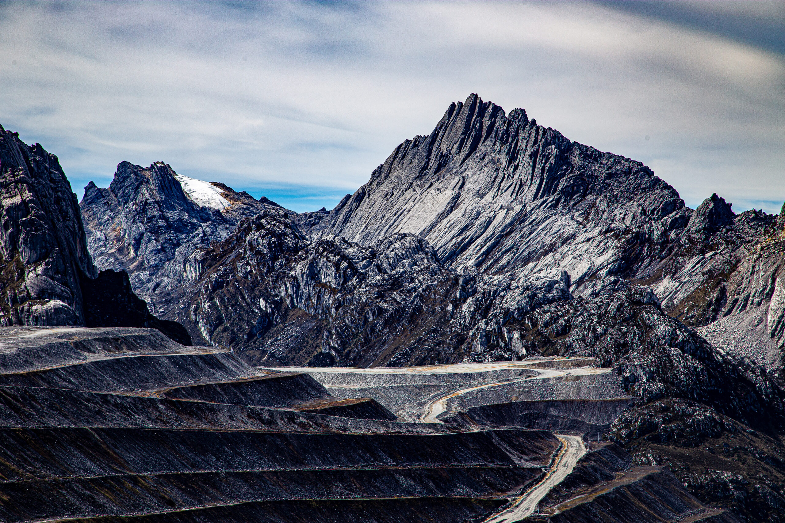
Ama Dablam South Ridge: 16-Day Expedition Overview
At least one major international operator has published a sold-out October 2026 departure, and Indonesian-supported commercial programs continue to market helicopter access. That means the mountain is not universally closed. It does not mean a climber can independently obtain a ticket, arrive in Timika and proceed to base camp.
The accurate planning phrase is: operator-managed access may operate when permits, security authorization, helicopters and weather align.
Current government warning
Puncak Jaya is in Central Papua. As of July 7, 2026, the U.S. Department of State says “Do Not Travel” to Central Papua and Highland Papua. The United Kingdom also advises against all travel to those provinces. Those warnings are broader than one climbing route and must be considered before booking, especially because consular and emergency assistance may be limited.
This page owns
Permit workflow, current access, security advisories, helicopter logistics, insurance exclusions, booking terms and the go/no-go checklist.
The parent guide owns
Elevation, history, general difficulty, standard summit-day overview and the complete Carstensz Pyramid climb guide.
Other children own
The routes guide owns technical lines; the operator comparison owns company rankings.
What “open” really means on Carstensz Pyramid
There is no stable public gate status that guarantees a foreign climber can reach the mountain.
On many mountains, “open” means the national park has published a season and the permit website is accepting reservations. Puncak Jaya works differently. The mountain sits inside a politically sensitive part of Central Papua, close to major mining and security infrastructure. A commercial expedition is viable only when the Indonesian operating partner can coordinate the necessary permissions, transport and local acceptance for that specific team and date.
A scheduled departure is therefore evidence of an operator’s intent—not proof that final permission has already been issued. A client may sign a contract months before the final document package is complete. Security officials can also restrict movement or suspend operations closer to departure.
Scheduled
An operator has advertised dates and is collecting deposits. This is the weakest level of certainty.
Permit processing
Passport details and team documents have been submitted through the Indonesian operating structure.
Operationally confirmed
The operator confirms final permission, aircraft availability, local security acceptance and a current departure plan.
The 2026 permit reality: a package, not one document
The commercial product is an operator-managed authorization chain rather than a simple climbing permit.
Public operator descriptions commonly refer to overlapping national, security, police, provincial and local authorizations. Some commercial materials name Indonesian intelligence, military, foreign-affairs, tourism, national-police and Papua-level approvals. Global Summit Guide treats those agency lists as operator-described permit frameworks, not as a complete public legal checklist that an individual foreigner should attempt to reproduce.
The practical conclusion is more important than the agency vocabulary: a foreign climber should use an experienced Indonesian operator that accepts written responsibility for the complete access package. Western Seven Summits companies normally depend on Indonesian local partners for this work because the permissions, helicopter coordination and regional relationships cannot be delivered from outside Indonesia.
| Layer | What it controls | What to ask the operator | Common failure |
|---|---|---|---|
| Immigration | Legal entry and stay in Indonesia | Which visa category fits the expedition and who advises on it? | Assuming an e-VOA is a mountain-access permit |
| National expedition approval | Foreign team activity and expedition purpose | Which Indonesian entity files the team and when? | No named responsible legal operator |
| Security clearance | Movement in a sensitive region | What security approvals are included and when are they final? | Partial documents accepted by a sales agent but rejected locally |
| Police and local coordination | Checkpoint, local movement and team verification | Who meets the team in Timika and handles verification? | Arriving with copies that cannot be confirmed locally |
| Provincial or regional permission | Central Papua operational acceptance | Is authorization valid for the exact approach and landing area? | A permit package naming the mountain but not the actual access plan |
| Aviation and landing logistics | Aircraft, passenger manifest and base-camp movement | Which helicopter provider, luggage limit and contingency arrangement apply? | Permits complete but no flyable aircraft or landing authorization |
How far in advance should the process begin?
Operator timelines vary. The safest planning assumption is several months, not several weeks. Even when a company markets a shorter nominal processing window, it still needs passport data, photographs, team details, planned dates, access method and internal coordination. Permit timing may also determine when large nonrefundable helicopter or partner payments are released.
Ask when your documents will be submitted, when the operator expects preliminary acceptance, when final confirmation normally arrives and what happens if approval is still pending when your balance is due.
Your Indonesian visa is separate from Carstensz permission
Immigration approval answers “May you enter Indonesia?”—not “May you enter a restricted Central Papua expedition area?”
Indonesia’s Directorate General of Immigration publishes tourist visa and electronic visa-on-arrival options for eligible nationalities. A B1 visitor visa, for example, permits tourism and an initial stay of up to 30 days under its conditions. That can solve the ordinary immigration requirement for many travelers.
It does not replace the mountain-access package. A climber can be lawfully present in Bali, Jakarta or Timika and still lack permission to proceed toward Puncak Jaya. Conversely, an operator cannot fix an incorrect immigration status merely by holding mountain approvals.
Climber responsibility
- Valid passport and correct personal information
- Appropriate Indonesian visa or entry status
- Return or onward travel documentation where required
- Compliance with visa conditions
Operator responsibility
- Complete expedition and regional permission package
- Security and local coordination
- Helicopter manifest and operational documents
- Current confirmation that the team may proceed

Helicopter access is the dominant commercial model
For international 2026 programs, Timika-to-base-camp aviation replaces the traditional multi-day overland approach.
Major commercial programs describe charter flights into the Papua highlands followed by helicopter movement to the Yellow Valley base-camp area. One established international operator markets a fly-in, fly-out itinerary and says it uses helicopters because they reduce dependence on local trekking logistics, health exposure and limited emergency options. Indonesian specialists similarly describe helicopter access from Timika as their standard operating model.
The flight itself may be short, but the operational chain is not. Clouds can close the route. Helicopters may be committed elsewhere. Passenger and luggage limits can force multiple rotations. A team may reach base camp while its baggage is delayed—or wait in Timika while mountain weather appears perfectly clear from a forecast model.
Before departure
Confirm the staging city, hotel, internal flight, baggage transfer and exact point where the operator assumes responsibility.
Flight day
Expect last-minute changes based on cloud, visibility, aircraft readiness and security approval.
After the summit
A successful climb does not guarantee an immediate flight out. Keep food, medication and schedule margin for a delayed extraction.
Questions that expose a weak helicopter plan
- Is the helicopter included round-trip in the quoted price?
- Which company provides the aircraft?
- Is the price based on a minimum number of clients?
- Who pays if an extra rotation is needed?
- What is the personal and group baggage limit?
- How many weather days are included?
- What accommodation and meals are covered during delays?
- What happens if the aircraft cannot reach base camp?
- Is a delayed extraction included or billed separately?
- Can the operator substitute another aircraft provider?
The jungle approach: historically real, operationally different in 2026
Do not choose an itinerary merely because it advertises the “authentic” overland experience.
The traditional Carstensz approach crossed remote Papuan highlands and rainforest through local communities. It became part of the mountain’s identity: mud, rivers, cultural negotiations, porter logistics and many days of travel before the rock climbing began.
That route is no longer the normal choice for mainstream international expeditions. Several operators explicitly say they do not offer it because of political instability, dangerous river crossings, porter complications, checkpoint risk and the near absence of dependable emergency assistance. The United Kingdom’s travel guidance also notes attacks on aircraft, armed clashes and an unpredictable situation in Central and Highland Papua.
This does not prove that no local journey will occur anywhere in the region. It does mean a foreign client should treat any advertised jungle approach as a materially different risk product. The operator should identify the current route, communities, security plan, evacuation method, local permissions and recent successful team history.
| Issue | Helicopter program | Traditional overland approach |
|---|---|---|
| Typical international use in 2026 | Dominant commercial model | Limited and operator-specific |
| Duration | Short mountain program plus weather buffers | Several additional approach and return days |
| Main dependency | Flyable weather and aircraft | Security, local relations, rivers, porters and route access |
| Medical exposure | Rapid move from low elevation to base camp | Tropical illness, foot problems and prolonged remote travel |
| Evacuation | Still weather-dependent | Extremely limited along remote approach sections |
| Client suitability | Experienced Seven Summits climbers with rock skills | Only clients accepting substantially higher logistical and security uncertainty |
Security advisories are not a footnote
They may affect the decision to travel, insurance validity, employer rules and the ability to obtain help.
The U.S. State Department’s July 7, 2026 advisory places Central Papua and Highland Papua at Level 4: Do Not Travel because of civil unrest. It says conflict is sporadic but persistent, armed groups have kidnapped foreign nationals and the U.S. government has limited ability to provide emergency services. The United Kingdom advises against all travel to the same provinces and describes regular clashes, attacks involving remote aircraft and a situation that can change quickly.
These are official national risk assessments, not a statement that every village or landing zone is experiencing active fighting at every moment. An operator may reasonably judge that a specific helicopter corridor and mountain program can operate. A traveler may also reasonably decide that the government warning exceeds their acceptable risk.
What an operator can manage
- Local intelligence and current communication
- Security coordination and checkpoint documents
- Choice of access corridor
- Schedule changes and cancellation
What an operator cannot eliminate
- Regional conflict and government restrictions
- Kidnapping or unrest risk
- Limited consular assistance
- Insurance exclusions written by third parties
Insurance: the policy wording matters more than the logo
A standard high-altitude policy may still exclude the exact reason your Carstensz trip fails.
Climbers often focus on the 4,884-meter elevation and helicopter evacuation limit. Those are important, but Carstensz creates additional questions: civil unrest, warlike activity, kidnapping, government closure, political evacuation, travel against official advice and cancellation after a permit denial.
Some insurers will cover medical treatment while excluding trip cancellation caused by civil unrest. Others may exclude all losses in a destination under a Level 4 advisory. A helicopter benefit may cover medical rescue but not the charter cost of returning a healthy climber after weather or security disruption.
Ask the insurer these exact questions
- Is Central Papua covered despite current government advice?
- Does traveling against a Level 4 advisory void any benefit?
- Are civil unrest and political violence excluded?
- Is kidnapping included or excluded?
- Does cancellation cover government permit denial?
- Does interruption cover a regional closure after arrival?
- Is nonmedical helicopter extraction covered?
- What altitude limit applies to medical evacuation?
- Are technical rock climbing and fixed ropes covered?
- Is the full prepaid expedition value insurable?
Obtain answers in writing and keep the policy wording—not merely a salesperson’s email. Use the dedicated mountaineering insurance comparison to understand high-altitude exclusions, then verify the Papua-specific issues directly with the insurer.
Protect your payment before permits are final
The largest financial risk may occur before you reach Indonesia.
Carstensz prices reflect helicopter chartering, specialized permissions, local partnerships and small-group operations. These costs can require early nonrefundable commitments. One large international operator currently lists a $26,000 program with a $5,000 nonrefundable deposit and a nonrefundable balance due 120 days before departure.
That structure may be commercially understandable, but the client should know who bears the loss if permits are denied, the province closes, the Indonesian partner cannot operate or the helicopter plan collapses. “Nonrefundable” is especially consequential when the access environment is politically volatile.
Permit denial
Does the operator refund, postpone, issue credit or keep all committed local costs?
Government closure
Is a closure treated as force majeure, operator cancellation or client cancellation?
Helicopter failure
Who pays for additional hotel days, internal flights, replacement aircraft or a second attempt?
The seven-step go/no-go verification process
Use this sequence before committing a nonrefundable balance.
Name the Indonesian operator
Identify the legal Indonesian company responsible for permits, local movement and aviation. A Western brand may be the seller while an Indonesian company is the actual operator.
Demand the permit scope in writing
Ask what authorizations are included, which are pending, who issues them and what exact activity, team, date and landing zone they cover.
Confirm the visa separately
Use official Indonesian immigration guidance. Do not assume that the visa recommended for a normal holiday automatically fits the operator’s expedition structure.
Audit the helicopter plan
Confirm aircraft provider, minimum group size, luggage, included rotations, delay costs, buffer days and extraction obligations.
Read advisories and insurance together
Compare government warnings with the policy exclusions. Obtain written coverage answers for Central Papua, unrest, kidnapping and political cancellation.
Audit cancellation terms
Separate permit denial, government closure, operator failure, client cancellation, weather delay and helicopter cancellation. They may produce different refunds.
Reconfirm 14 days and 72 hours before departure
Request written confirmation that the expedition remains authorized and operational. Continue monitoring official advisories and be prepared to cancel despite sunk costs.
Continue the Carstensz planning sequence
This access page is one part of the cluster. Use the exact page that owns your next decision.
Frequently asked questions
Direct answers to the most important 2026 access questions.
Is Puncak Jaya open for climbing in 2026?
Commercial departures are being scheduled, so the mountain is not universally closed. Access remains conditional on the specific team’s permits, local security acceptance, helicopter logistics and current operational decision.
Can a foreign climber obtain the permit independently?
A practical public self-service system does not exist for the complete 2026 access package. Use a qualified Indonesian operating company that accepts responsibility for permits, regional coordination and transport.
Is a tourist e-VOA enough?
No. Immigration status and expedition access are separate. Follow official Indonesian immigration guidance for entry, while the operator manages the mountain and restricted-area approvals.
Is helicopter access mandatory?
It is the dominant international commercial method rather than a universal legal rule. Several established programs use helicopters exclusively because the overland approach carries substantially greater security and evacuation uncertainty.
Can insurance cover travel to Central Papua?
Possibly, but never assume it. Some policies exclude travel against official advice, civil unrest, political evacuation or kidnapping. Obtain written confirmation referencing Central Papua and your technical climbing activity.
How many buffer days should I keep?
Keep several days beyond the operator’s ideal itinerary. Equatorial cloud can delay the flight in or out, and political or document verification can also alter the schedule.
What we can and cannot verify
There is no single public government page that displays the live approval status for every foreign Carstensz team. Commercial permit descriptions come largely from operators and may use different agency names or package structures. This article therefore distinguishes official travel and immigration guidance from operator-reported mountain procedures.
Confidence: High for current U.S./UK travel warnings, immigration separation and published helicopter programs. Medium for the precise agency-by-agency permit chain because public regulatory transparency is limited and operator descriptions differ.
Sources and current verification
- U.S. Department of State — Indonesia Travel Advisory: Central Papua and Highland Papua Level 4 guidance, issued July 7, 2026.
- UK Foreign, Commonwealth & Development Office — Indonesia regional risks: Papua conflict, aircraft attacks and advice against all travel to Central and Highland Papua.
- Indonesia Directorate General of Immigration — Visa FAQ: official visa and e-VOA guidance.
- Indonesia Immigration — B1 visitor visa: tourism use, stay duration and official application information.
- Alpine Ascents International — Carstensz program: current fly-in/fly-out model, 2026 departure and published pricing.
- Alpine Ascents — price and payment schedule: deposit and nonrefundable payment structure.
- Global Summit Guide — Carstensz operators compared: Indonesian partnership model, commercial access and operator questions.
- Global Summit Guide — Adventure Indonesia profile: operator-reported permit package and helicopter structure, clearly identified as commercial claims.
Last checked: July 18, 2026. Next review: September 2026 or immediately after a government advisory or access change.
Plan the Indonesia travel portion separately
Expedition permits and helicopters should remain under the climbing operator. Hotels and ordinary travel before or after the expedition can be compared separately, provided the bookings remain flexible.
Explore the Global Summit Guide travel shopDo not book Carstensz on the strength of a date and price alone.
The decision is complete only after you understand who holds the permits, how the helicopter is secured, what the government advisory means for you, which losses insurance excludes and what happens to your money if access changes.
Compare Carstensz operators Return to the parent guide