
Last updated October 13, 2026
Best Kilimanjaro Tour Operators: 10 Companies Compared.
The best Kilimanjaro company depends on route length, budget, support model, safety systems and how much planning help you want. We compare ten established operators without paid rankings, invented star scores or pretending every traveler needs the same company.
The Best Kilimanjaro Operator Depends on the Itinerary You Buy.
Ultimate Kilimanjaro remains our strongest all-around first look because its public structure makes route length, schedule and price relatively easy to compare. Climb Kili is our strongest published-value pick. Peak Planet stands out for unusually long itineraries at mid-range pricing. Tusker Trail is the premium medical/safety-first choice, while Altezza Travel is the strongest large Tanzania-based operation in this comparison.
The first filter should not be the logo. For many first-time altitude trekkers, compare seven-to-nine mountain days, then guide systems, emergency procedures, porter welfare, inclusions and price. A strong operator cannot create acclimatization time that was never built into the itinerary.
Best Kilimanjaro Operators by Traveler Type.
These are editorial best-fit categories, not universal safety grades. Change the traveler and the strongest operator fit can change too.
Ultimate Kilimanjaro
Clear route-by-route pricing, multiple longer itineraries and substantial planning material make it our best comparison anchor for many first-time climbers.
Why it ranks #1 →Climb Kili
Transparent pricing makes seven-day Machame and eight-day Lemosho easy to compare without defaulting to a compressed route.
See the value case →Peak Planet
Nine- to eleven-day programs make mountain time the differentiator without immediately moving into premium pricing.
See the long-route fit →Tusker Trail
Longer programs, explicit medical monitoring and a premium support model suit travelers who want safety systems to be central to the purchase.
See the premium fit →Intrepid Travel
Familiar international small-group structure, explicit inclusions and mainstream booking infrastructure can work well for solo travelers.
See the group fit →Altezza Travel
Broad route inventory, group/private options and integrated Tanzania logistics make Altezza a strong direct-local alternative.
See the local fit →10 Kilimanjaro Tour Operators Compared.
Published examples are planning signals, not guaranteed quotes. Promotions, dates, group size and inclusions can change the final number.
| Rank | Operator | Published Price Signal | Route / Format | Best Fit | Responsible-Travel Signal* | GSG Verdict |
|---|---|---|---|---|---|---|
| 1 | Ultimate Kilimanjaro | $2,939 Machame · $3,299 8-day Lemosho · $3,649 Northern Circuit | 7–9 day scheduled/private | First-time North American climbers | Current participant at last roster check | Best overall first look |
| 2 | Climb Kili | $2,795 7-day Machame · $2,995 8-day Lemosho | Direct Tanzania specialist | Value-focused climbers | Current participant at last roster check | Best published value |
| 3 | Peak Planet | About $2,859 Machame · $3,169 Lemosho · $3,469 Northern Circuit | 9–11 day scheduled routes | More acclimatization time | Current participant at last roster check | Best long-itinerary value |
| 4 | Kandoo Adventures | From about $2,565 Machame · $3,235 Lemosho | International adventure company | UK/global packaged departures | Current participant at last roster check | Strong mid-range global option |
| 5 | Intrepid Travel | About $2,848 discounted Marangu example · Machame from about $3,355 on listed dates | Global small-group travel | Solo travelers / familiar group format | Current participant at last roster check | Best solo/global group |
| 6 | Tusker Trail | Last verified examples about $4,510–$6,490 | Premium specialist · long programs | Medical/safety-focused premium traveler | Current participant at last roster check | Best premium safety emphasis |
| 7 | Thomson Treks | $4,990 Machame · $6,790 Western Approach · $9,190 Grand Traverse | Premium long-route specialist | Long supported programs | Current participant at last roster check | Best premium route ladder |
| 8 | Alpine Ascents International | $5,900 climb-only Machame · $7,450 climb-only 9-day Lemosho | International mountaineering company | Seven Summits progression | Current participant at last roster check | Best mountaineering-company continuity |
| 9 | Altezza Travel | Roughly mid-$2,000s to mid-$4,000s depending on route and party size | Large Tanzania-based operator | Local logistics + safari integration | Current participant at last roster check | Best large local operation |
| 10 | Adventure Consultants | $5,700 standard 2026 departure; private quoted separately | International expedition company | Expedition-style service / future big peaks | Current participant at last roster check | Premium expedition-company option |
Compare Mountain Days Before You Compare Logos.
A $2,800 longer itinerary can be a better fit than a $5,000 compressed one—and the reverse can be true if the premium program includes materially stronger guide ratios, medical systems and logistics. Normalize route days, inclusions and support before judging value.
How Global Summit Guide Compares Kilimanjaro Operators.
We do not fabricate star ratings or a fake universal safety score. We compare the parts of the product a traveler can actually verify.
Itinerary Quality
Does the company offer sensible seven-to-nine-day options instead of building the sales pitch around the shortest climb?
Price Transparency
Are route-by-route prices, inclusions and exclusions clear enough that a traveler can compare like with like?
Porter Welfare
We look for current responsible-travel participation, load and equipment practices, staff treatment and transparency around crew systems.
Safety Systems
Visible health monitoring, emergency oxygen, guide training, descent decision-making and evacuation planning matter.
Support Model
Local-direct, premium specialist, global small group and international mountaineering-company models suit different travelers.
Planning Usefulness
The best operator websites help travelers make better route, timing, gear and contract decisions before a deposit is paid.
The Company Matters Most When the Plan Stops Going Perfectly.
The real differences show up when a client slows down, the group splits, weather changes or altitude symptoms appear. That is why the editorial method gives meaningful weight to itinerary quality, guide systems, medical protocols and clear operating procedures—not just brand recognition.
Why Each Company Is—or Is Not—the Right Fit.
Use the ranking table to narrow the field, then read the structural difference that should make you choose or reject each company.
Ultimate Kilimanjaro
Ultimate Kilimanjaro is the easiest company in this field to use as a baseline because route, length and price are visible enough to compare directly with competitors. The value is comparability—not a claim that the company is automatically safest.
Climb Kili
Climb Kili is our strongest pure-value comparison because its public price signals are attached to sensible seven- and eight-day itineraries rather than a five-day shortcut.
Peak Planet
Peak Planet stands apart because the core schedules are long. Nine-day Machame, ten-day Lemosho and eleven-day Northern Circuit create a different acclimatization product than standard six- and seven-day inventory.
Kandoo Adventures
Kandoo combines a recognizable international adventure-travel structure with Tanzania operations and competitive longer-route inventory. Promotions can materially affect the advertised price.
Intrepid Travel
Intrepid fits travelers who already like the global small-group travel model. The booking structure and inclusions are familiar, but the route and true number of mountain days still need to be normalized against specialist operators.
Tusker Trail
Tusker’s differentiator is not simply nicer camping. The company positions medical monitoring and longer itineraries as central parts of the product, which makes the premium more relevant to some travelers than others.
Thomson Treks
Thomson is useful when the traveler wants to stay within one premium operator while comparing standard and extended itineraries. The higher tiers should be evaluated by tangible route and support differences, not prestige alone.
Alpine Ascents International
Alpine Ascents is expensive compared with local-direct specialists. The reason to consider the premium is continuity if Kilimanjaro is the beginning of a Seven Summits or broader expedition progression.
Altezza Travel
Altezza’s structural advantage is scale inside Tanzania: broad route inventory, vehicles, hotels, safari logistics and multiple trip formats can sit inside one local operating system. Party size can materially change the quote.
Adventure Consultants
Adventure Consultants is not a value pick on Kilimanjaro. The appeal is an established international expedition-company structure and the ability to continue into more technical or higher peaks with the same organization.
The Better Question Is Not “Who Is Cheapest?”
Ask what route length, staffing structure, medical system, camp setup, hotel package and planning support you receive for the price. Two quotes that differ by $2,000 may not be selling the same product.
What Different Kilimanjaro Operator Budgets Usually Buy.
Use these as broad planning bands, then normalize the exact route, mountain days and inclusions before comparing quotes.
Can include strong seven- and eight-day programs. Verify fees, hotels, guide ratio, emergency systems, tips and gear rental.
Many strong longer programs live here, often with more planning support, clearer packaging or smaller-group structure.
Longer itineraries, more explicit medical or guide systems, international lead-guide models and upgraded logistics can drive cost.
Private scheduling, high staffing ratios, premium camping and safari combinations can dominate the price. Verify what is actually private.
16 Questions to Ask Any Kilimanjaro Operator.
Three normalized quotes beat ten browser tabs. Ask the same questions to one value, one mid-range and one premium company.
Separate climbing days from hotels, arrival and safari days.
Get the camp-by-camp schedule, not just “Lemosho.”
Ask what happens to the ratio after a turnaround.
How much, where is it carried and who controls it?
What is measured, how often and who interprets the result?
Who has authority to force descent for altitude illness?
Who descends and how many guides remain with the group?
Check the current roster again before paying.
How are loads checked and staff gear supplied?
Park fees, rescue, hotels, meals, transfers, tents and toilets.
Tips, visa, gear, flights, insurance, meals and extensions.
Ask for your exact departure, not an average.
Local lead guide, international lead or mixed structure?
What is refundable, transferable or lost?
What does the operator provide and what must you buy?
Verbal reassurance is not the same as a booking document.
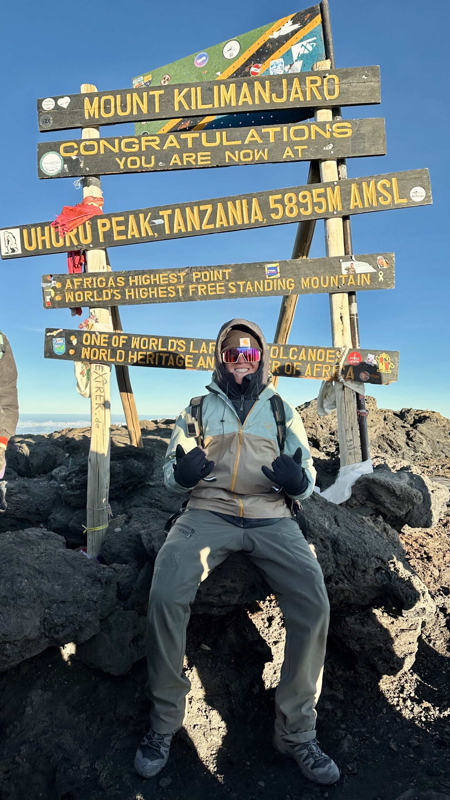
We Know Kilimanjaro First-Hand. We Do Not Pretend We Have Climbed With All Ten Companies.
Our team’s Lemosho experience informs the questions we ask about pacing, summit night, crew systems, descent and route length. The ten-company ranking remains research-based except where a specific first-hand relationship is explicitly identified.
Sponsored Visibility Is Separate From the Editorial Ranking.
A qualified operator may purchase a clearly labeled sponsored placement. Sponsorship never moves a company in the ranking above.
You can buy visibility. You cannot buy our ranking.
Sponsored placements, when active, appear in a separate block labeled Sponsored Operator. Paid links use rel="sponsored nofollow". The sponsor cannot edit the ranking, verdict, pros/cons or methodology.
See Live Kilimanjaro Trip Inventory After You Understand the Ranking.
TourRadar is a commercial travel marketplace and GSG affiliate partner. Use it to see current route products, operators and departures after you have already decided what itinerary and support model you want.
The order of trips inside this widget is not a Global Summit Guide editorial ranking. For side-by-side trip shopping, continue to the dedicated Guided Trips page.
Use the Ranking, Match and Guided Trips Pages for Different Jobs.
Editorial rank answers “who stands out?” Match answers “who fits me?” Guided Trips answers “what can I buy now?”
Kilimanjaro Operator Match
Match route, budget, mountain days, group/private format, experience and priorities to a research shortlist.
Current inventoryKilimanjaro Guided Trips
Browse live trip products and compare current route, duration, operator and departure options.
Route decisionCompare Kilimanjaro Routes
Choose the itinerary family before judging the operator selling it.
Complete budgetKilimanjaro Cost Guide
Model package price, flights, hotels, tips, gear, insurance and the complete trip cost.
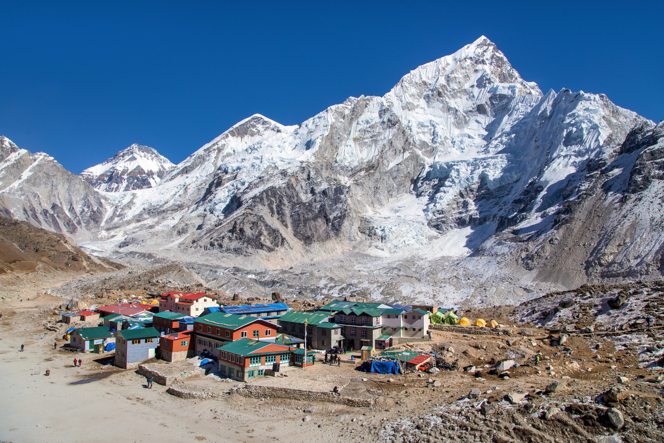
Route First. Three Operators Second. Deposit Last.
Pick the route and number of mountain days, shortlist one value, one mid-range and one premium company on the same product, then compare guide ratios, emergency systems, porter welfare, inclusions and cancellation terms line by line.
Kilimanjaro Tour Operator FAQ.
Short answers for the questions climbers ask while deciding which company to trust with the climb.
What is the best Kilimanjaro tour operator?
There is no universal winner. Ultimate Kilimanjaro is our strongest overall first comparison; Climb Kili is the clearest published-value pick; Peak Planet stands out for unusually long schedules; Tusker Trail for premium medical/safety emphasis; and Altezza for a large Tanzania-based operating model.
How much does a good Kilimanjaro operator cost?
Published examples in this comparison start in the mid-$2,000s and rise beyond $9,000 for premium long itineraries. Many serious seven-to-nine-day programs fall roughly between the high-$2,000s and $5,000 before flights, personal gear, tips and optional extensions.
Do I need a guide or operator to climb Kilimanjaro?
Kilimanjaro access is organized under Tanzania National Parks rules. Use a properly licensed operator and confirm the guide, porter, permit, rescue and fee arrangements attached to your exact departure.
How many days should I spend climbing Kilimanjaro?
For many first-time altitude trekkers, seven to nine mountain days is a strong planning range. More days do not guarantee the summit, but itinerary length is one of the strongest planning levers you control.
Does responsible-travel participation mean an operator is safe?
No. Current participation is a useful screening signal for worker-welfare and responsible-tourism systems, but it is not a universal safety, quality or summit-success guarantee.
Can a company pay to rank higher on Global Summit Guide?
No. Sponsored visibility, affiliate relationships and referral compensation are separated from the editorial ranking. A paid relationship cannot change a company’s position, verdict, pros/cons or GSG Match Score.
Should I choose the cheapest Kilimanjaro operator?
Not from price alone. Normalize mountain days, park fees, guide and porter staffing, emergency oxygen, food, hotels, transport, gear, tips and cancellation terms. A low quote attached to a shorter or thinner program may not be cheaper in a meaningful sense.

Choose the Route. Shortlist Three Companies. Compare the Same Product.
The best operator page should help you eliminate companies, not give you ten interchangeable recommendations. Use the ranking to build the shortlist, Match to personalize it, and Guided Trips to see current inventory.
You’ve Compared the Operators. Here’s What to Research Next.
Choosing the right Kilimanjaro company is about more than a ranking. Before booking, compare the actual route, trip length, crew-welfare practices, altitude protocols and total price.
Ultimate Kilimanjaro
Explore our research into Ultimate Kilimanjaro’s expedition approach, route offerings, published pricing and company background.
Verify the current itinerary and inclusions directly before booking.
Read Ultimate Kilimanjaro Profile →Mount Kilimanjaro
Compare the mountain’s routes, elevation, climbing seasons, acclimatization requirements and practical logistics.
Choose your preferred route before selecting the final expedition company.
Explore Kilimanjaro Guide →Mountaineering Operators
Research guide companies across the Seven Summits, major trekking peaks and technical expeditions around the world.
Compare company approaches before choosing your next climbing objective.
Explore the Operators Hub →What a Real Kilimanjaro Climb Teaches You About Choosing an Operator
In 2025, Dawson Ludlow climbed Kilimanjaro via the Lemosho route with African Walking Company. That experience provides useful perspective on the value of the overall expedition experience.
A successful summit is memorable, but choosing an operator should also involve evaluating the quality of the itinerary, communication, support and response to changing conditions.
Our firsthand experience is specific to that climb. We do not present it as firsthand experience with every company in this comparison.
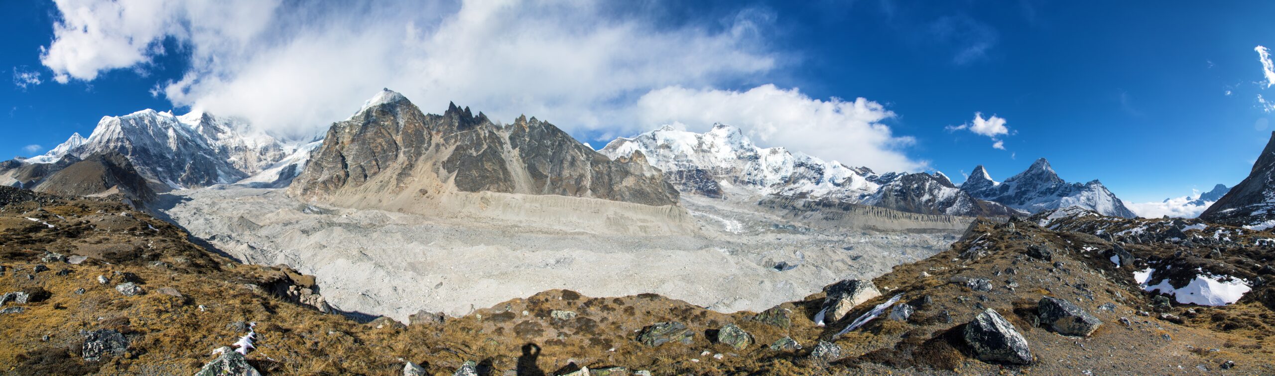
Six Things to Confirm With Your Kilimanjaro Operator
Use these questions to compare your shortlisted operators on consistent terms. Ask each company to provide written answers.
- Trip length: How many actual mountain days are included in the itinerary?
- Acclimatization: What route and elevation profile are planned, and how are signs of altitude illness handled?
- Guide staffing: How many qualified guides accompany the group, and who makes medical and turnaround decisions?
- Porter welfare: What wage, load-limit, equipment and working-condition policies protect the mountain crew?
- Total price: Are park fees, transfers, accommodation, meals, equipment and recommended gratuities clearly explained?
- Emergency response: What communication, evacuation and descent procedures are available if someone becomes ill?
The Kilimanjaro Porters Assistance Project (KPAP) provides an independently monitored Partner for Responsible Travel program.
When an operator claims KPAP participation, check its current status with the organization. Participation is not a substitute for examining medical safety, guiding qualifications or your specific expedition contract.
Two companies can advertise very different prices because their routes, number of climbing days, group sizes and included services are different.
How Global Summit Guide Evaluates Kilimanjaro Operators
Operator rankings should help climbers make informed choices, not simply repeat marketing claims or favor companies willing to purchase advertising.
Climber Experience
We look at relevant mountaineering experience, published itineraries, guide qualifications and the suitability of each program for its intended clients.
Responsible Operations
We consider altitude management, porter welfare, emergency planning, staff support and transparency around safety-related practices.
Value and Transparency
We compare what is included in the trip, how clearly prices are presented, the itinerary length and the evidence behind operator claims.
Global Summit Guide may offer paid promotional visibility to qualified expedition companies. Any such placement is clearly labeled as sponsored and is separate from our editorial evaluation.
Sponsorship does not change company rankings, scores, advantages, disadvantages or our editorial recommendations.
You can buy visibility on Global Summit Guide. You cannot buy our ranking.
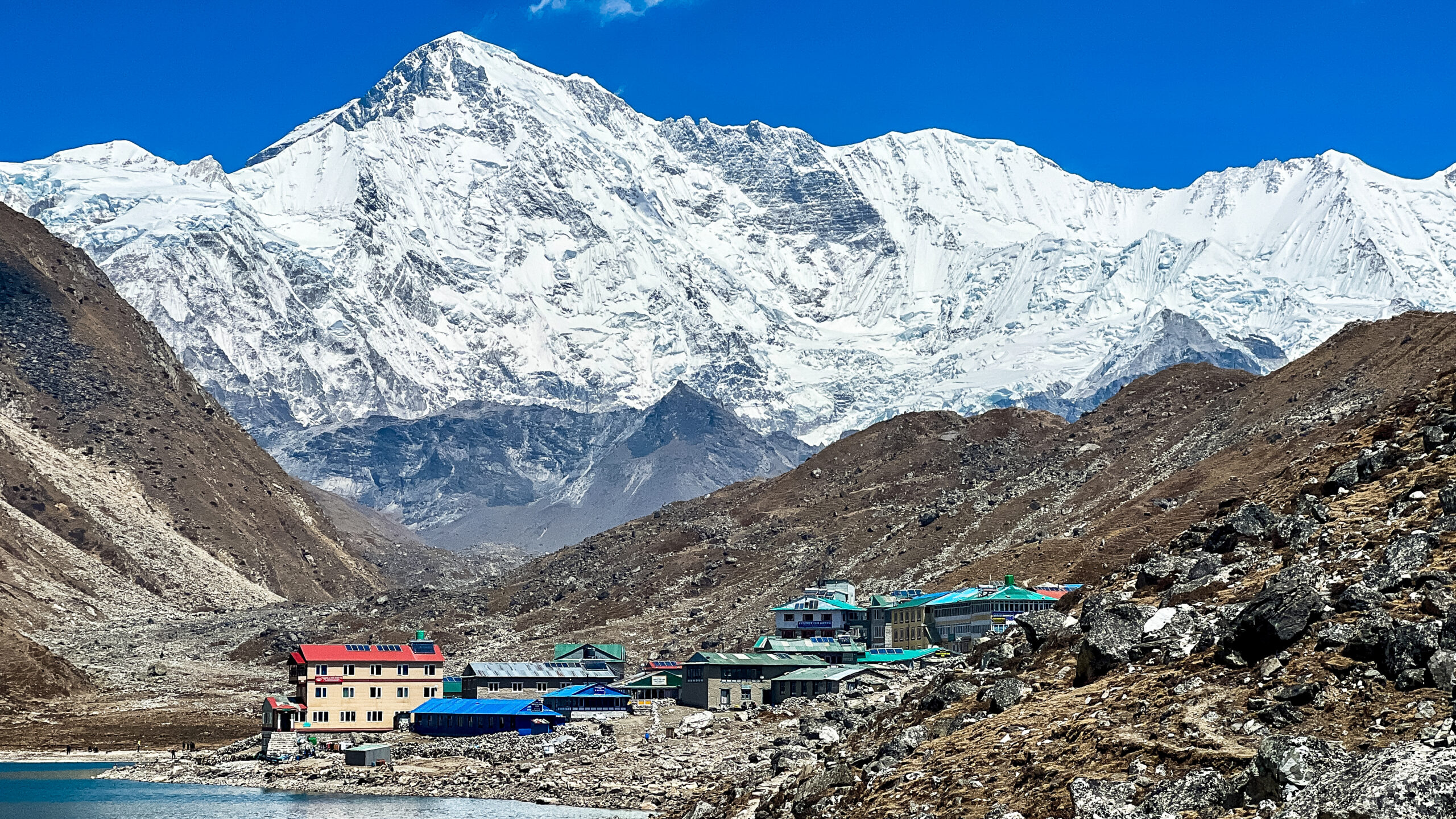
The Right Route and the Right Operator Make a Better Kilimanjaro Plan.
Start by choosing the Kilimanjaro route that matches your experience and available time. Then compare three operators on the same itinerary length, included services and responsible climbing practices.
Once you have a shortlist, request current quotes and ask each company the six questions above before booking.
What Our Own Lemosho Climb Taught Us About Choosing an Operator
Kilimanjaro is the one mountain on this site our team has actually climbed. Dawson Ludlow, our Climbing and Mountaineering Lead, reached Uhuru Peak by the Lemosho route with African Walking Company. We have not climbed with all ten companies compared above, so what follows is not a first-hand review of each operator. It is the shortlist of things that only became obvious once we had lived a full Kilimanjaro climb – the factors that should shape which company you trust, and the questions earlier on this page.
The Slow Pace Is the Product
On the mountain, the single most important thing a guide does is protect the group from going too fast. “Pole pole” is not decoration; it is acclimatization strategy. The operators worth paying for are the ones whose guides hold a disciplined slow pace even when the fittest client wants to push ahead.
Ask: how do guides manage pace differences in the group?You Watch How the Crew Is Treated, Every Day
Porter and crew welfare is not an abstract badge – it is visible in front of you the whole climb: loads, food, sleep, gear and shelter. A responsible-travel roster is a screening signal, but the daily reality on the mountain is the real test. It is also, honestly, part of whether the trip feels right.
Ask: how are loads checked and crew equipment and food provided?Summit Night Is Where the Support Model Is Tested
The midnight start, the cold and the thinning air change the problem entirely. This is where guide-to-client ratio and who carries and controls emergency oxygen matter most – not on the gentle lower days. A company that looks similar on paper can feel very different in those hours above 5,000 metres.
Ask: what is the ratio above high camp, and who controls the oxygen?Uhuru Is the Midpoint, Not the Finish
Reaching the summit can hide how depleted a climber is, and the long descent after a midnight start is its own event. A good operator plans for continued food, water, pacing and observation on the way down. The support that ends at the summit sign is the support that was never really there.
Ask: what does the support plan look like after Uhuru?Daily Checks and Real Turnaround Authority
Altitude does not care about fitness. The companies we would trust monitor climbers daily and give their guides clear, unquestioned authority to turn a client around. Vague reassurance is a warning sign; a written protocol and a guide empowered to enforce it is what you actually want.
Ask: what is measured, how often, and who can force a descent?The Extra Days Were the Acclimatization
The strongest lesson from a longer route is the simplest: time on the mountain is what lets your body adjust. Route length is the lever you control, and no operator can add acclimatization that is not in the schedule. Be wary of any company steering a first-timer toward the shortest possible itinerary.
Ask: how many true mountain days, not trip days, are on this program?First-hand experience: Dawson Ludlow, Climbing & Mountaineering Lead (Uhuru Peak via Lemosho). Comparison research and editing: Travis Ludlow. Medical review: Taylor Ludlow, RN.
Was this helpful?
🧭Explore & compare
Global Summit Guide is an independent mountaineering resource founded in 2026. The team combines first-hand trekking and climbing experience with in-depth research and professional health and nutrition review to help climbers choose objectives, prepare properly, and stay safe.
Health, altitude, and nutrition content is reviewed by Taylor Ludlow (Registered Nurse) and Brigg Hoopes (Nutritionist).
What We Don't Know Yet
Mountain information changes quickly. This box explains the limits of what this page can responsibly promise.
- Guide-company prices, departure dates, guide ratios, included services, and cancellation rules can change without notice.
- Comparisons simplify complex decisions; the better mountain depends on current conditions, skills, timing, budget, and risk tolerance.
- Visa, passport, vaccination, border, insurance, and local transportation rules may change before your trip.
Verify current conditions with official land managers, guide services, local forecasts, and current route reports before booking or climbing.
Mountaineering, rock and ice climbing, glacier travel, and high-altitude activity are inherently dangerous and can result in serious injury or death. The information on Global Summit Guide is provided for general informational and educational purposes only and is not a substitute for professional instruction, qualified guiding, proper equipment, or your own judgment and experience.
Route conditions, weather, snowpack, permits, regulations, and hazards change constantly and may differ from what is described here. Details may be incomplete, out of date, or contain errors. Always verify current information with local authorities, certified guides, and official sources before making any decision in the mountains.
Nothing on this site is medical, legal, or financial advice. Our fitness, acclimatization, altitude, and nutrition content is general in nature; consult a qualified physician before beginning any strenuous exercise program or exposing yourself to high altitude.
You are solely responsible for your own safety and decisions. To the fullest extent permitted by law, Global Summit Guide and its team accept no liability for any loss, injury, damage, or expense arising from use of, or reliance on, this information. By using this site you acknowledge these risks and accept these terms.
Some links on this site may be affiliate links. If you buy through them we may earn a small commission at no extra cost to you; this never affects our recommendations.
Global Summit Guide recommendation path
Next Best Mountain to Research
Use these recommendations to continue the right planning path instead of stopping on one page.
Use current permit, weather, route, and operator information before booking or climbing.
Search Flights, Hotels & Rental Cars
Have the mountain or destination picked? Use Expedia to compare the flights, lodging and rental cars that fit your actual trip dates. For mountain travel, consider arriving early enough for delays and adding a buffer night after the climb before a fixed flight home.
Compare current flight, hotel and car options.
Affiliate disclosure: Global Summit Guide may earn a commission if you book through this link, at no additional cost to you.