
Last updated October 16, 2026
The 14 Eight-Thousanders, Ranked by Height.
Only fourteen principal mountains are internationally recognized in the classic list above 8,000 metres. See every peak in order—from Everest at 8,848.86 m to Shishapangma at 8,027 m—with countries, first ascents, route context and a dedicated guide for each mountain.
Independent mountain research · List identity verified against the UIAA · Updated October 2026
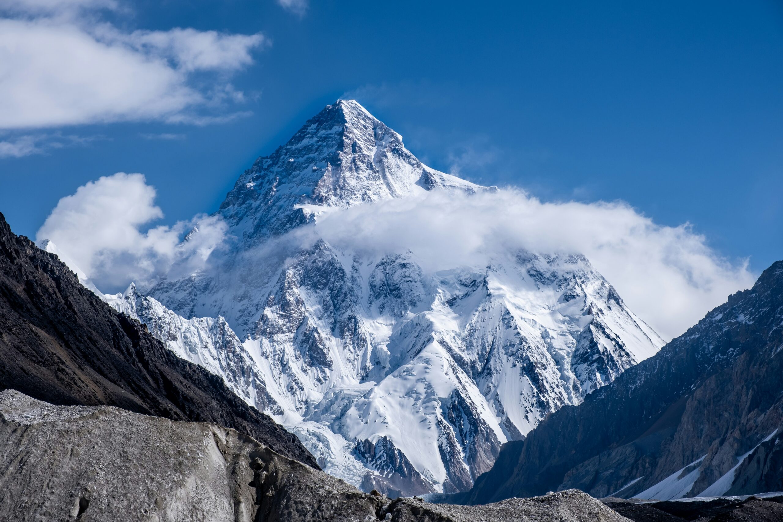
What are the fourteen 8,000-metre mountains?
Everest, K2, Kangchenjunga, Lhotse, Makalu, Cho Oyu, Dhaulagiri I, Manaslu, Nanga Parbat, Annapurna I, Gasherbrum I, Broad Peak, Gasherbrum II and Shishapangma. All are in the Himalaya or Karakoram in Asia. The UIAA supports this established classic 14, while acknowledging debate about separate subsidiary summits.
Need more than a list? See who has climbed all fourteen or compare mountain fatality statistics and their denominators.
All 14 Eight-Thousanders, Highest to Lowest.
Ranked by elevation—not by safety, summit probability or technical difficulty. Each row leads to the mountain’s own guide for routes, season, permits, operators, preparation and updated circumstances.
| # | Peak / complete guide | Elevation | Feet | Range | Country / border | First ascent |
|---|---|---|---|---|---|---|
| 01 | Everest | 8,848.86 m | 29,031.7 ft | Himalaya | Nepal / Tibet (China) | 1953 |
| 02 | K2 | 8,611 m | 28,251 ft | Karakoram | Pakistan / China | 1954 |
| 03 | Kangchenjunga | 8,586 m | 28,169 ft | Himalaya | Nepal / India | 1955 |
| 04 | Lhotse | 8,516 m | 27,940 ft | Himalaya | Nepal / Tibet (China) | 1956 |
| 05 | Makalu | 8,485 m | 27,838 ft | Himalaya | Nepal / Tibet (China) | 1955 |
| 06 | Cho Oyu | 8,188 m | 26,864 ft | Himalaya | Nepal / Tibet (China) | 1954 |
| 07 | Dhaulagiri I | 8,167 m | 26,795 ft | Himalaya | Nepal | 1960 |
| 08 | Manaslu | 8,163 m | 26,781 ft | Himalaya | Nepal | 1956 |
| 09 | Nanga Parbat | 8,126 m | 26,660 ft | Himalaya | Pakistan | 1953 |
| 10 | Annapurna I | 8,091 m | 26,545 ft | Himalaya | Nepal | 1950 |
| 11 | Gasherbrum I | 8,080 m | 26,509 ft | Karakoram | Pakistan / China | 1958 |
| 12 | Broad Peak | 8,051 m | 26,414 ft | Karakoram | Pakistan / China | 1957 |
| 13 | Gasherbrum II | 8,035 m | 26,362 ft | Karakoram | Pakistan / China | 1956 |
| 14 | Shishapangma | 8,027 m | 26,335 ft | Himalaya | Tibet (China) | 1964 |
Elevation note: This table retains the GSG collection’s established heights for consistency (including Gasherbrum I at 8,080 m and Broad Peak at 8,051 m). Some references use different survey measurements for selected summits, including Makalu, Cho Oyu, Gasherbrum I and Broad Peak. The identities and ranking of the classic fourteen are the central purpose of this list; elevation values should be revisited when primary national surveys or accepted mountain records are updated.
Don’t mistake rank for readiness. Shishapangma is #14 because its summit is lower than Everest’s; it is not automatically a safer expedition. To compare route seriousness, use our eight-thousander difficulty analysis.
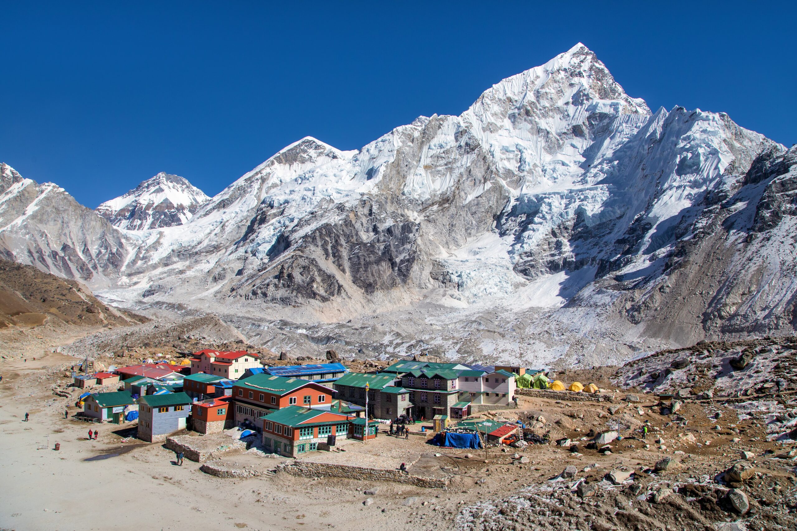
What Counts as an Eight-Thousander?
The familiar “14 peaks” are not simply any fourteen points above 8,000 metres. They are the established main mountains recognized in international mountaineering. The UIAA continues to support the historic list while recognizing questions about topographic independence, subsidiary summits and changing summit definitions.
All fourteen reach the extreme-altitude environment often called the death zone. Oxygen availability, cold, wind, cumulative fatigue and the long return make a good summit day only one part of the full climbing problem. Access, staffing and route infrastructure differ widely.
Meet Every 8,000-Metre Mountain.
Use these concise profiles to orient your research. They are not route instructions. Every mountain name and “open guide” link leads to the more detailed planning page.
Everest
8,848.86 m · Nepal / Tibet (China) · first climbed 1953
The world’s highest mountain and the collection’s best-known expedition objective. Nepal’s South Col route has the most developed commercial support of the fourteen, but the Khumbu Icefall, extreme altitude, crowded windows and the descent demand disciplined team decisions.
What to check: Its support system is extensive, not a substitute for experience. Compare oxygen policies, high-altitude staff, route fixing, weather support and the decisions that trigger turnaround.
Read the Everest guide →K2
8,611 m · Pakistan / China · first climbed 1954
The second-highest mountain is a technical outlier. The Abruzzi Spur has exposed mixed ground, House’s Chimney, the Black Pyramid and the Bottleneck beneath overhead ice. The descent remains a central risk even after a successful summit.
What to check: For most climbers, K2 belongs near the end of a substantial high-altitude résumé, never as the first 8,000-meter objective.
Read the K2 guide →Kangchenjunga
8,586 m · Nepal / India · first climbed 1955
The third-highest mountain rises on the Nepal–India frontier. Remoteness, expedition complexity and the mountain’s cultural significance shape its climbing history. Some teams traditionally stop just short of the highest point out of respect for local custom.
What to check: Research true-summit reporting, route choice, weather and evacuation constraints before comparing claims of success.
Read the Kangchenjunga guide →Lhotse
8,516 m · Nepal / Tibet (China) · first climbed 1956
Immediately south of Everest, Lhotse shares much of the normal Nepal-side approach and upper Khumbu access. Its final summit couloir creates a very different technical and traffic problem from simply following the route toward Everest’s South Col.
What to check: A shared lower route does not mean the summit day or guide requirements are interchangeable.
Read the Lhotse guide →Makalu
8,485 m · Nepal / Tibet (China) · first climbed 1955
Makalu’s isolated, steep pyramid stands east of Everest. Its exposed upper slopes, sustained mixed and snow terrain and comparatively small expedition infrastructure distinguish it from the most standardized commercial objectives.
What to check: Route competence and a team capable of operating independently matter more than comparing the summit height with Everest.
Read the Makalu guide →Cho Oyu
8,188 m · Nepal / Tibet (China) · first climbed 1954
Cho Oyu’s northwest-side routes are often discussed as among the least technically difficult standard routes of the fourteen. That label applies only to relative route complexity, not to altitude safety, snow conditions or predictable access.
What to check: Tibet permit and border access rules can determine whether a planned expedition is feasible at all.
Read the Cho Oyu guide →Dhaulagiri I
8,167 m · Nepal · first climbed 1960
Rising above Nepal’s Kali Gandaki region, Dhaulagiri I combines immense relief with serious snow and avalanche conditions. Remote logistics, route selection and changing conditions have been decisive throughout its expedition history.
What to check: Assess the actual avalanche and weather exposure of the proposed route rather than relying on its rank of seventh-highest.
Read the Dhaulagiri I guide →Manaslu
8,163 m · Nepal · first climbed 1956
Manaslu is a widely selected first eight-thousander for climbers who already have expedition experience. Nepal’s autumn season is especially associated with the mountain, though snowpack, avalanche risk and the location of the true summit remain important questions.
What to check: Ask how the operator documents the true summit and how it manages the upper route in poor conditions.
Read the Manaslu guide →Nanga Parbat
8,126 m · Pakistan · first climbed 1953
Nanga Parbat anchors the western Himalaya and is famous for the enormous relief of its faces. The Diamir and Rupal sides involve markedly different route and logistical contexts, so a mountain-wide difficulty label hides important differences.
What to check: Consider the selected side, length of exposed terrain and rescue contingencies before treating this as a standard Pakistani expedition.
Read the Nanga Parbat guide →Annapurna I
8,091 m · Nepal · first climbed 1950
The first eight-thousander ever climbed remains notable for avalanche and serac hazards. Its historical fatality-to-summit ratios are often quoted without the time period or denominator, which can distort comparisons with other peaks.
What to check: Separate route-specific objective danger from historical statistics and use the current Annapurna death-rate analysis for properly defined comparisons.
Read the Annapurna I guide →Gasherbrum I
8,080 m · Pakistan / China · first climbed 1958
Hidden Peak, or Gasherbrum I, is a serious Baltoro Muztagh objective with far less expedition traffic than Everest. Its approach is shared with other Karakoram giants, but the technical summit terrain and the route chosen set a distinct challenge.
What to check: Shared logistics with Gasherbrum II do not imply equivalent climbing demands.
Read the Gasherbrum I guide →Broad Peak
8,051 m · Pakistan / China · first climbed 1957
Broad Peak stands close to K2 across the upper Baltoro. Its normal route is often discussed in the context of Karakoram progression, but the long summit ridge and confusion between fore-summit and main summit have historically been consequential.
What to check: A successful summit claim should identify the actual main summit, not only an earlier point on the ridge.
Read the Broad Peak guide →Gasherbrum II
8,035 m · Pakistan / China · first climbed 1956
Gasherbrum II is commonly considered one of the more approachable Karakoram eight-thousanders for already capable mountaineers. The long Baltoro approach, crevasses, wind and unstable weather still make it a major expedition.
What to check: Approachable means comparatively less technical under favorable conditions—not guaranteed weather or safety.
Read the Gasherbrum II guide →Shishapangma
8,027 m · Tibet (China) · first climbed 1964
Shishapangma is the lowest of the classic fourteen and the only one entirely within Tibet. Its central summit and main summit are distinct, so historical records, route plans and completion claims must be checked carefully.
What to check: Access and permit policy should be verified before comparing it with any Nepal-side objective.
Read the Shishapangma guide →A peak’s presence in the list is not an endorsement of a particular operator, summit claim, route or season. The main-summit issue is especially important when studying Manaslu, Broad Peak and Shishapangma.
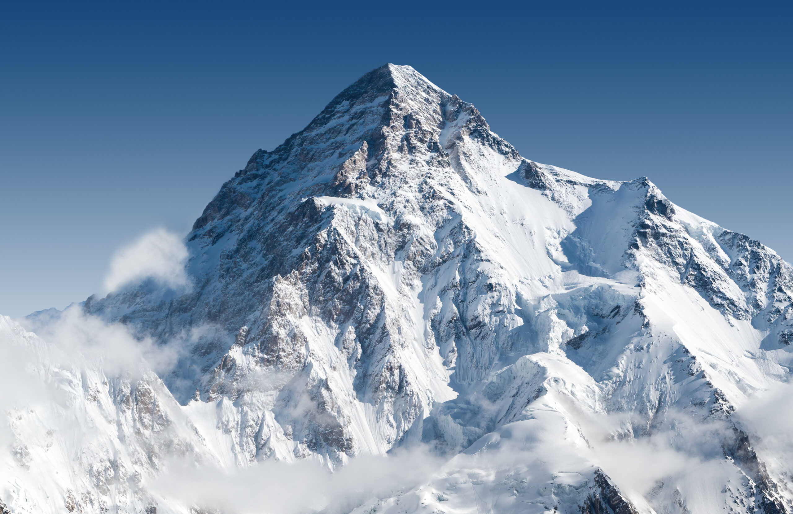
Four of the Fourteen Rise in the Karakoram.
The Karakoram members are K2, Gasherbrum I, Broad Peak and Gasherbrum II. They are approached through Pakistan’s northern mountain system, often using the Baltoro Glacier corridor. Shared approach infrastructure does not make the summit routes interchangeable.
For visitors comparing objectives, separate the long approach, base-camp services, high-camp support and descent hazards. K2’s sustained technical terrain is very different from a supported Gasherbrum II normal-route attempt.
Ten Himalaya. Four Karakoram. One Historic Collection.
The geographical split changes logistics, access, the normal expedition season and the surrounding weather systems. Pakistan has five classic eight-thousanders in total because Nanga Parbat is in the Himalaya; the Karakoram group itself contains four.
The Himalayan ten
Everest, Kangchenjunga, Lhotse, Makalu, Cho Oyu, Dhaulagiri I, Manaslu, Nanga Parbat, Annapurna I and Shishapangma. Most are in Nepal or on its borders; Nanga Parbat is in Pakistan and Shishapangma entirely in Tibet.
Browse the mountain library →The Baltoro four
K2, Gasherbrum I, Broad Peak and Gasherbrum II. The expedition gateway is generally Pakistan, but route severity differs substantially among the four mountains.
Explore K2 →Season isn’t one-size-fits-all
Spring is significant for Nepal 8,000ers; autumn is important on Manaslu; the Karakoram normal season is mostly summer. Access and route-specific weather can override these general patterns.
Learn to read mountain forecasts →Regional location map for the Himalayan and Karakoram ranges. Not a climbing-route map. Open a larger map ↗
“Easiest 8,000er” Is the Wrong First Question.
Cho Oyu’s normal route has long been considered among the least technically demanding standard eight-thousander routes, particularly when the Tibetan side is accessible. Manaslu and Gasherbrum II are also common progression discussions. None is easy in an absolute sense.
The responsible question is: Does the actual route match your experience, mountain systems, rescue limitations and willingness to retreat? An accessible approach and strong commercial support can reduce logistics complexity without removing weather or altitude hazards.
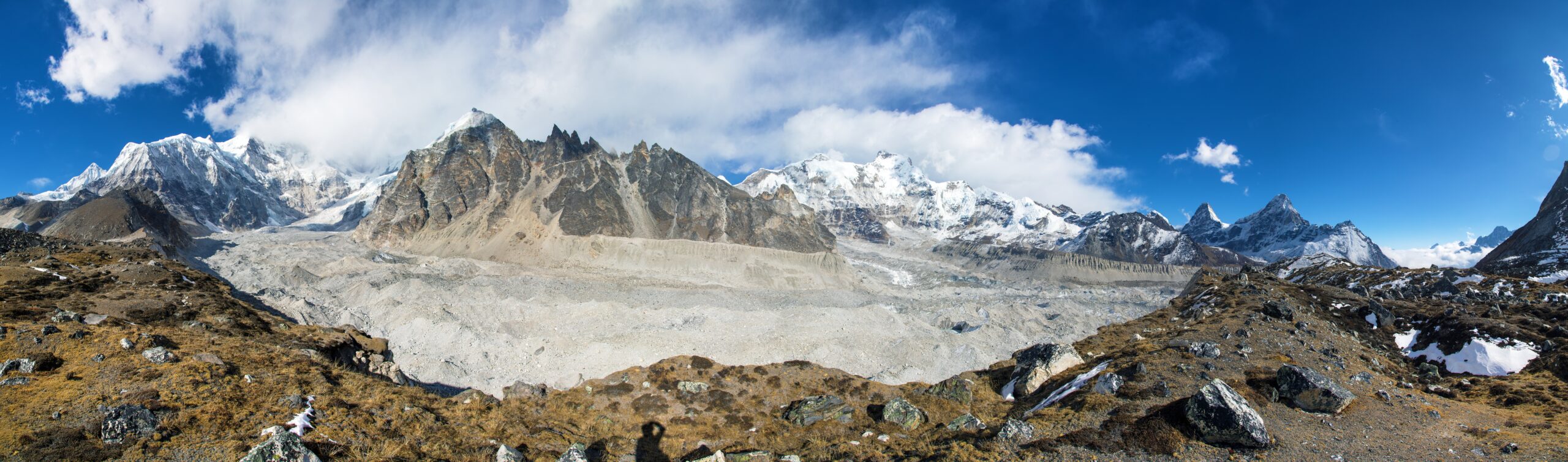
The Fourteen Peaks Were First Climbed in Fifteen Years.
From Annapurna I in 1950 to Shishapangma in 1964, high-altitude expeditions changed the boundaries of what was considered possible. Historical success depended on different equipment, support, knowledge and route choices from those used today.
| Year | Mountain | First-ascent milestone |
|---|---|---|
| 1950 | Annapurna I | Maurice Herzog and Louis Lachenal reached the first ever 8,000-metre summit. |
| 1953 | Everest | Edmund Hillary and Tenzing Norgay summited via the South Col. |
| 1953 | Nanga Parbat | Hermann Buhl completed a defining solo summit push. |
| 1954 | K2 | Achille Compagnoni and Lino Lacedelli achieved the first ascent. |
| 1954 | Cho Oyu | Herbert Tichy, Joseph Jöchler and Pasang Dawa Lama summited. |
| 1955 | Kangchenjunga | Joe Brown and George Band reached the summit vicinity, respecting local summit tradition. |
| 1955 | Makalu | Lionel Terray and Jean Couzy led the first successful summit team. |
| 1956 | Lhotse | Ernst Reiss and Fritz Luchsinger made the first ascent. |
| 1956 | Manaslu | Toshio Imanishi and Gyalzen Norbu reached the summit. |
| 1956 | Gasherbrum II | Fritz Moravec, Josef Larch and Hans Willenpart achieved the first ascent. |
| 1957 | Broad Peak | A four-member Austrian party completed the first ascent. |
| 1958 | Gasherbrum I | Andrew Kauffman and Pete Schoening summited. |
| 1960 | Dhaulagiri I | A multinational Swiss-led expedition reached the summit. |
| 1964 | Shishapangma | A Chinese expedition completed the last first ascent of the classic list. |
The first-ascent year is a historical identifier—not evidence that the same mountain has a stable risk level across modern seasons.
Elevation, Difficulty and Danger Are Three Different Rankings.
Ranking by elevation is straightforward. Comparing technical difficulty requires route-specific terrain and support assumptions; comparing deaths requires a clearly defined denominator and time period. A deaths-per-summit ratio does not estimate an individual climber’s probability of dying.
Historically, Annapurna I’s avalanche exposure has made it prominent in risk research. K2 stands out for technical terrain and objective hazard on the normal route. Everest has far greater commercial infrastructure but also extreme altitude, icefall and complex timing.
For methods and up-to-date definitions, follow Annapurna death rate explained, K2 fatality context and how summit success is measured rather than recycling unsupported percentages.
Which Eight-Thousander Should You Compare?
The list answers what the mountains are. These research guides answer the next questions climbers actually ask about readiness, difficulty and historical outcomes.
Rank All 14 by Climbing Demands.
Compare technical terrain, altitude, weather, route exposure, descent and expedition commitment under a published scoring approach.
Compare all 14 by difficulty →Who Has Reached All Fourteen?
Understand the historical achievement and why true-summit evidence changes the interpretation of modern completion lists.
View the all-14 climbers record →Put Fatality Rates in Context.
See why deaths per climber, deaths per summit and time-period comparisons tell different stories.
Compare mountain death-rate data →Climbing All Fourteen Is a Different Challenge from Climbing One.
Reinhold Messner completed the classic fourteen in 1986. The feat became a landmark in mountaineering history, though modern verification of true summits has generated debates about historical and contemporary lists.
Route ethics, supplementing oxygen, supporting staff, true-summit evidence and the recognition of historical achievements should not be flattened into a single simplistic leaderboard.
How to Approach Your First Eight-Thousander Responsibly.
No general guide can certify that a climber is prepared for an eight-thousander. Experience with remote expeditions, movement on glacier and steep ground, cold management, acclimatization, weather judgment and safe descent needs to be demonstrated before choosing one.
Climb lower mountains well.
Build glacier judgment, multi-day uphill durability, navigation, cold systems and a record of turning around safely.
Learn team and altitude systems.
Manage camp routines, oxygen-system knowledge where relevant, forecasts, equipment and decision-making above familiar elevations.
Choose the actual route.
Compare the planned route, support model, dates and access, not just a mountain’s popular reputation.
Protect the descent.
Set weather limits, contingency time and evacuation planning before committing money or chasing a forecast gap.
A “Supported Route” Still Depends on Conditions.
Manaslu illustrates why one mountain’s reputation can change with snowpack and the location of the true summit. Many climbers consider it after qualifying preparation on lower peaks, and some commercial teams specialize in the autumn season. Still, the actual upper route may have cornices, avalanche exposure and weather uncertainty.
Ask an operator how it verifies the summit, who makes turnaround decisions, what staff-to-climber responsibilities apply above the highest camp and whether the itinerary has genuine weather contingency.

Turning a Mountain List into a Real Expedition Plan.
Each peak has a different permit authority, travel gateway, route system, operator market and feasible climbing season. Prices and access rules change; an old published package quote is not a current total budget.
Start With Country Permissions.
Verify the destination, access corridor, climbing permit, nationality rules, liaison requirements and travel logistics using official and local sources.
Review permit planning →Budget Beyond the Package Fee.
Allow for international travel, baggage, visas, permits, additional nights, operator inclusions, technical gear, contingencies and weather delays.
Calculate the complete trip →Evaluate Operator Responsibilities.
Ask about guide credentials, expedition leadership, route fixing, rescue decision authority, oxygen policies and arrangements for a failed weather window.
Compare expedition operators →Expedition equipment requires a route-specific review.
After choosing your objective and verifying your operator’s gear list, compare layers and equipment that fit the trip. GSG may earn a commission if you buy through this link, at no additional cost to you.
Before booking, review evacuation and membership arrangements, high-altitude exclusions and what your operator actually covers. Read the GSG mountaineering insurance and rescue guide. TourRadar/Expedia booking inventory belongs on destination and trip-selection pages when it directly solves a booking need—not in the middle of this reference list.
One List. Many Distinct Expedition Decisions.
Broad Peak and K2 share a remarkable part of the Karakoram, yet they impose different technical challenges. Across the fourteen, no single cost table, ranking of difficulty, or “best month” can substitute for mountain-specific planning.
Use the peak profiles above as your directory, then follow the route, difficulty or training page that answers your actual question. That approach protects this page’s purpose as a reliable reference while helping readers move deeper into the GSG research network.
The 14 Eight-Thousanders: Frequently Asked Questions.
Concise answers to the questions readers ask most, with links to detailed research where definitions matter.
What are the 14 eight-thousanders?
Everest, K2, Kangchenjunga, Lhotse, Makalu, Cho Oyu, Dhaulagiri I, Manaslu, Nanga Parbat, Annapurna I, Gasherbrum I, Broad Peak, Gasherbrum II and Shishapangma.
How many 8,000-metre mountains are recognized?
The UIAA supports the classic list of fourteen main mountains. Additional subsidiary summits above 8,000 metres exist, but they do not replace the established classic list.
Which is the highest eight-thousander?
Everest at 8,848.86 metres, followed by K2 at 8,611 metres and Kangchenjunga at 8,586 metres.
Which is the lowest eight-thousander?
Shishapangma at 8,027 metres. It is the only mountain in the classic fourteen located entirely within Tibet, China.
Are all fourteen in the Himalaya?
No. Ten are in the Himalaya; four—K2, Gasherbrum I, Broad Peak and Gasherbrum II—are in the Karakoram.
Which eight-thousander was climbed first?
Annapurna I in 1950, by Maurice Herzog and Louis Lachenal. The last of the classic first ascents was Shishapangma in 1964.
Which is the easiest eight-thousander?
There is no easy eight-thousander. Cho Oyu’s standard northwest route has historically been among the least technical, subject to access; Manaslu and Gasherbrum II are also often considered for suitably experienced climbers.
Is K2 harder than Everest?
On common standard-route technical and objective-hazard comparisons, K2 is frequently judged more demanding. But route choice, weather, infrastructure, staffing and the climber’s experience change the answer.
Who first climbed all fourteen?
Reinhold Messner completed the classic fourteen in 1986. Historical recognition and modern true-summit verification are related but not identical recordkeeping frameworks.
Does an 8,000-metre summit guarantee good conditions?
No. Winds, ice, snowfall, avalanche hazards and the duration of the descent vary by route and season; summit success is not evidence of safety.
How This Collection Is Verified and Updated.
This page follows the UIAA’s classic fourteen rather than counting every subsidiary summit above 8,000 metres. Heights, peak spellings and international border labels reflect widely used expedition-reference conventions; elevation measurement may differ among recognized surveys. First-ascent years are historical records, and climbing access and conditions require more frequent checking.
The purpose is to own the search intent all 14 eight-thousanders ranked by height. We deliberately do not publish one ever-changing “current death rate,” one mandatory operator recommendation, or one total of recognized all-fourteen completers here, because those questions require different sources, denominators or verification standards.
Primary references and further research
- UIAA — position on the recognized classic 14 and subsidiary summits ↗
- NASA Earth Observatory — the 8,000-meter peaks of the Himalaya and Karakoram ↗
- Himalayan Database — 8,000m peak expedition statistics (Nepal-region coverage) ↗
- UIAA — historical achievements and the true-summit debate ↗
Last editorial review: October 2026. Refresh country access, summit verification guidance and individual expedition facts when authoritative sources change; avoid inventing a fresh statistic from a historical table.
Know the Fourteen.
Find the Right Next Mountain.
Start with the complete list, then compare difficulty or follow a mountain-specific guide. The strongest expedition plan begins with the route you are prepared for—not the biggest number on the page.
Climb the 14 eight-thousanders
Complete route, permit, season, and safety guides for every peak above 8,000 m — ranked by height.
Was this helpful?
🏔Peaks in this region
🧭Explore & compare
Global Summit Guide is an independent mountaineering resource founded in 2026. The team combines first-hand trekking and climbing experience with in-depth research and professional health and nutrition review to help climbers choose objectives, prepare properly, and stay safe.
Health, altitude, and nutrition content is reviewed by Taylor Ludlow (Registered Nurse) and Brigg Hoopes (Nutritionist).
What We Don't Know Yet
Mountain information changes quickly. This box explains the limits of what this page can responsibly promise.
- Visa, passport, vaccination, border, insurance, and local transportation rules may change before your trip.
- Route conditions, snowpack, closures, and weather can change quickly after this page is updated.
- Permit rules, fees, quotas, and reservation windows may change between review cycles.
- Operator availability, pricing, guide ratios, and cancellation terms can change by season.
- Your fitness, altitude response, risk tolerance, and experience level may change what is safe or realistic.
Verify current conditions with official land managers, guide services, local forecasts, and current route reports before booking or climbing.
Mountaineering, rock and ice climbing, glacier travel, and high-altitude activity are inherently dangerous and can result in serious injury or death. The information on Global Summit Guide is provided for general informational and educational purposes only and is not a substitute for professional instruction, qualified guiding, proper equipment, or your own judgment and experience.
Route conditions, weather, snowpack, permits, regulations, and hazards change constantly and may differ from what is described here. Details may be incomplete, out of date, or contain errors. Always verify current information with local authorities, certified guides, and official sources before making any decision in the mountains.
Nothing on this site is medical, legal, or financial advice. Our fitness, acclimatization, altitude, and nutrition content is general in nature; consult a qualified physician before beginning any strenuous exercise program or exposing yourself to high altitude.
You are solely responsible for your own safety and decisions. To the fullest extent permitted by law, Global Summit Guide and its team accept no liability for any loss, injury, damage, or expense arising from use of, or reliance on, this information. By using this site you acknowledge these risks and accept these terms.
Some links on this site may be affiliate links. If you buy through them we may earn a small commission at no extra cost to you; this never affects our recommendations.
Global Summit Guide recommendation path
Next Best Mountain to Research
Use these recommendations to continue the right planning path instead of stopping on one page.
Use current permit, weather, route, and operator information before booking or climbing.