
Last updated October 5, 2026

Dhaulagiri Gear List: Complete 8,000m Expedition Checklist
Dhaulagiri needs a genuine 8,000-meter expedition system: high-altitude boots, expedition insulation, redundant hand protection, fixed-line hardware, a severe-cold sleeping system and enough backup capacity for storms, wet gear and a summit day that runs longer than planned.
Treat Dhaulagiri Like an 8,000m Cold-and-Reliability Problem.
For a supported Northeast Ridge expedition, your personal system should normally include 8,000m boots, an expedition down suit, a heavy down parka, layered gloves plus expedition mitts, glacier glasses and goggles, technical fixed-line equipment, severe-cold sleeping gear and redundant lighting.
Current 8,000m operator checklists commonly call for both a 50–65L climbing pack and a smaller 30–40L pack, 12-point crampons, ascender, harness, helmet, ice axe, multiple carabiners, two headlamps and sleep systems reaching approximately -40°F / -40°C.
But do not buy the expedition’s communal systems twice. Tents, ropes, protection, radios, oxygen bottles and major Base Camp infrastructure may already be supplied by your operator.
Dhaulagiri Is Not the Place to Stretch a 7,000m Gear System One Mountain Higher
A system that worked perfectly on Aconcagua, Baruntse or a lower Himalayan objective can still be inadequate above 7,400 meters when wind rises, movement slows and the summit push extends deep into the day.
The Northeast Ridge also combines several equipment problems: a long remote approach, expedition Base Camp, glacier terrain, fixed lines, high camps, storm exposure, supplemental-oxygen logistics and a long descent from above 8,000 meters.
The best Dhaulagiri gear list therefore has two goals: carry enough redundancy for serious failure modes without hauling duplicate group equipment that the operator already supplies.
The Dhaulagiri Personal Equipment Checklist
Exact models and quantities vary. The functional system should not.
| System | Item | Priority | Purpose | Planning note |
|---|---|---|---|---|
| Footwear | 8000m insulated mountaineering boots | Critical | Summit-level warmth and crampon platform | Do not substitute a marginal 6000–7000m boot to save weight. |
| Footwear | Trekking boots / approach shoes | Core | Remote Base Camp approach | Keep climbing boots dry until they are actually needed. |
| Footwear | 4–5 pairs climbing socks | Core | Foot warmth and dry rotation | Test sock volume inside the exact summit boot. |
| Footwear | Down booties | Strongly useful | Base Camp and high-camp recovery | Keep camp footwear from becoming another cold-soaked system. |
| Upper body | Lightweight base layers | Core | Moisture management | Multiple sets help across a multi-week expedition. |
| Upper body | Midweight fleece / technical midlayers | Core | Active warmth | Breathability matters during rotations. |
| Upper body | Waterproof hardshell | Core | Wind and storm protection | Must fit comfortably over active layers. |
| Upper body | Heavy expedition down parka | Critical | Camp and lower-upper mountain static warmth | Useful even when an 8000m down suit is also carried. |
| Upper body | 8000m down suit | Critical for most supported systems | Upper mountain and summit push | One-piece and modular systems exist; follow operator requirement. |
| Lower body | Softshell climbing pants | Core | Rotations and active movement | Carry more than one pair for a long expedition. |
| Lower body | Full-side-zip shell pants | Core | Storm protection | Must go on over large boots and crampon-compatible layers. |
| Lower body | Insulated pants | Core | Camp and cold rotation insulation | Operator layering system determines how these overlap with the down suit. |
| Hands | Light gloves | Core | Dexterity during warmer work | Carry more than one pair. |
| Hands | Midweight climbing gloves | Core | Fixed-line work and rotations | Practice operating ascender and carabiners in them. |
| Hands | Expedition mitts | Critical | Summit-level hand protection | Must fit over liners without compressing insulation. |
| Face | Balaclava / face mask / neck gaiters | Core | Wind and frostbite protection | Carry redundancy for wet / iced face coverings. |
| Eyes | Two pairs glacier glasses | Critical redundancy | UV / snow protection | Loss or breakage cannot become a summit-ending emergency. |
| Eyes | Two goggles / primary + backup lens system | Critical | Storm and summit wind | Anti-fog performance matters more than cosmetic lens choice. |
| Technical | Lightweight alpine harness | Core | Fixed lines and glacier systems | Must fit over down suit. |
| Technical | Ascender / jumar | Core | Fixed-line ascent | Set it up exactly as operator teaches. |
| Technical | Belay / rappel device | Confirm exact system | Descent / technical transitions | CTSS currently lists both ATC and figure 8 on its 8000m list. |
| Technical | Locking + non-locking carabiners | Operator-specific count | Personal attachment and rope systems | Do not invent a universal Dhaulagiri quantity. |
| Technical | Slings / Prusik cord | Operator-specific | Attachment and backup systems | Diameter and lengths should match guide system. |
| Technical | Climbing helmet | Core | Technical terrain and falling-object protection | Verify fit over warm hat. |
| Technical | Alpine ice axe | Core | Snow / glacier terrain | Follow current operator specification. |
| Technical | 12-point crampons | Critical | Snow and ice movement | Exact binding must work perfectly with summit boots. |
| Sleep | -40°F / -40°C expedition sleeping bag | Common 8000m standard | Severe-cold camps | Verify whether operator requires one bag or two. |
| Sleep | Lighter -20°F / -28°C bag | Program-dependent | Lower camps / logistical flexibility | Current CTSS 8000m list specifies both temperature tiers. |
| Sleep | Closed-cell foam pad | Core redundancy | Insulation and backup | Still works if inflatable pad fails. |
| Sleep | High-R-value inflatable pad | Core | Recovery and insulation | Carry repair kit. |
| Carry | 50–65L climbing pack | Typical 8000m system | Rotations and upper mountain | Exact size depends on Sherpa support and personal load. |
| Carry | 30–40L day / summit pack | Program-dependent | Training / lighter movement / operator system | Confirm whether both packs are expected. |
| Lighting | Two headlamps | Critical redundancy | Summit starts and emergency descent | Carry independent spare batteries / charging plan. |
| Hydration | Hard bottles + insulated covers | Core | Reduce freezing risk | Bladder hoses are vulnerable in extreme cold. |
| Hydration | 0.5–1L thermos | Strongly useful | Warm fluid high on mountain | Test opening with mitts. |
| Travel | Heavy-duty expedition duffels | Core | Porter / expedition logistics | Exact number and weight limit are operator-specific. |
Mark Every Item as Own, Buy, Rent or Operator-Supplied.
Dhaulagiri equipment costs can grow quickly. Build the system around your actual operator rather than buying every item found on every 8,000m list.

Personal Gear Has to Work Inside an Operator-Built Expedition System.
Fixed ropes, camps, oxygen strategy, Sherpa support and rescue assumptions determine what you personally need to carry.
What Is Usually Personal—and What May Be Operator-Supplied?
There is no universal Dhaulagiri package. Contracts differ substantially.
Your Fit-Critical Equipment
- 8000m boots
- Climbing and trekking socks
- Down suit / personal insulation
- Shell jacket and pants
- Gloves and expedition mitts
- Glacier glasses and goggles
- Harness
- Ascender
- Crampons
- Helmet
- Ice axe
- Sleeping bag(s)
- Personal pack
- Headlamps
Expedition Infrastructure
- Base Camp tents
- High-camp tents
- Stoves and group cooking equipment
- Fuel
- Fixed ropes
- Snow / ice protection for route establishment
- Radios
- Group medical kit
- Supplemental oxygen bottles
- Weather service
Confirm every one of these. A lower-priced package may provide less support.
8,000m Boots Are a Safety System, Not a Luxury Upgrade
Cold feet reduce performance long before visible frostbite becomes the problem.
8000m Class
Current 8000m operator lists use highly insulated integrated-gaiter or triple-insulated systems. Dhaulagiri summit footwear should have genuine death-zone margin.
No Compression
Too many socks can make a warm boot colder by restricting circulation and compressing insulation.
Test the Exact Pair
Install the actual summit crampons on the actual summit boots before leaving home. Check front and rear attachment repeatedly.
For boot categories and fit, use the Mountaineering Boots Guide .
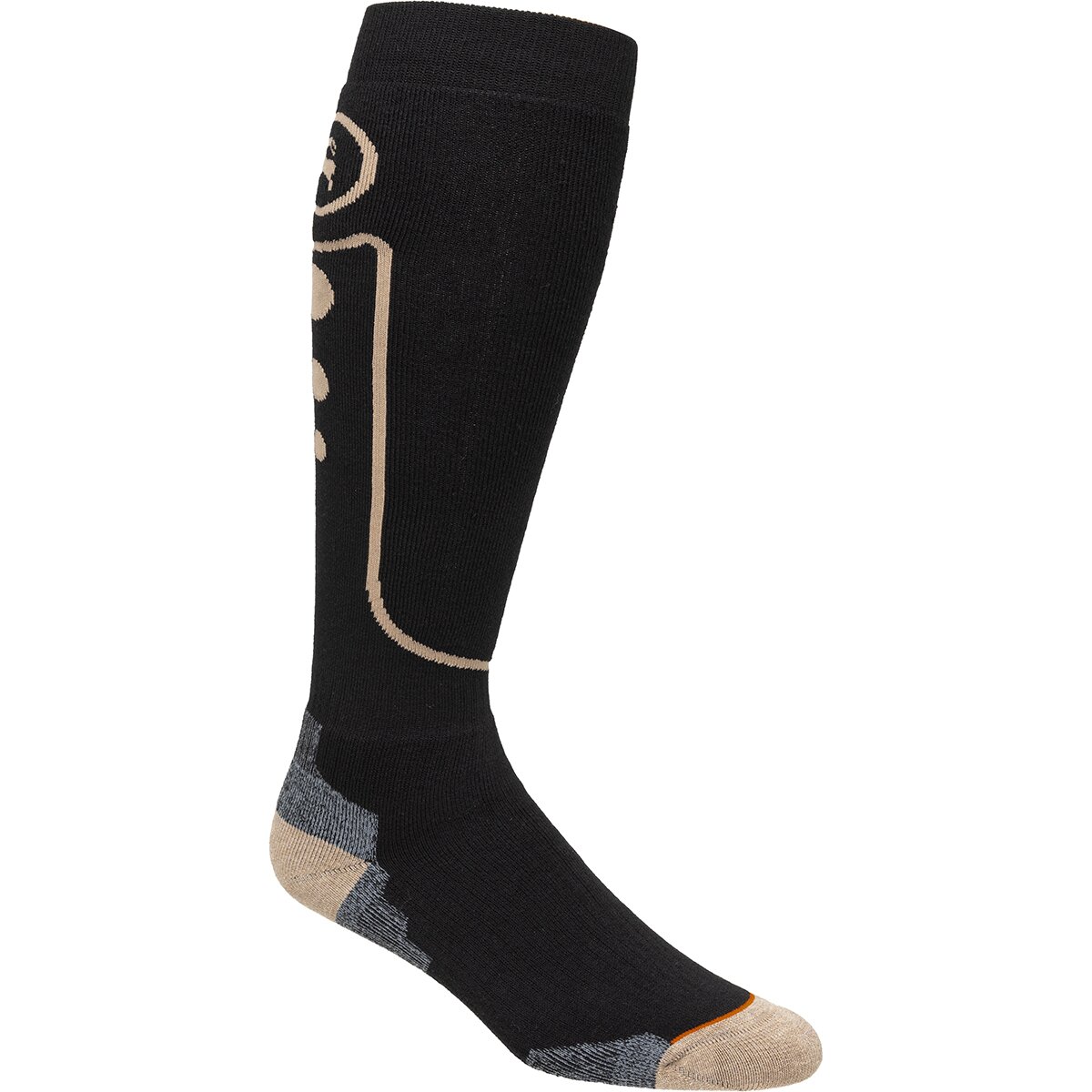
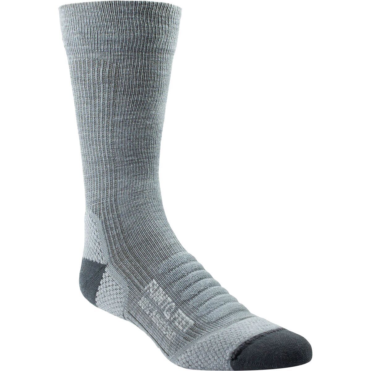
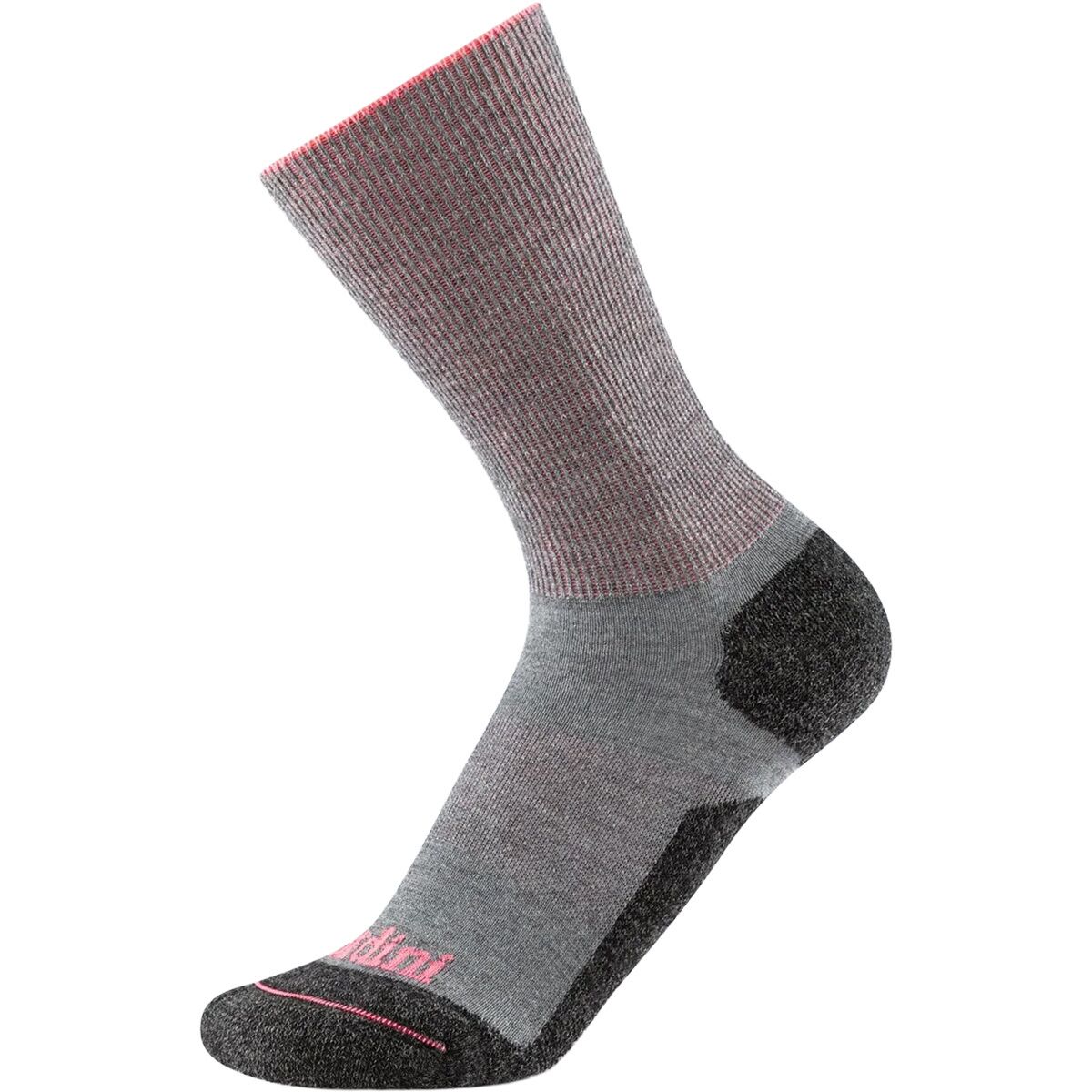
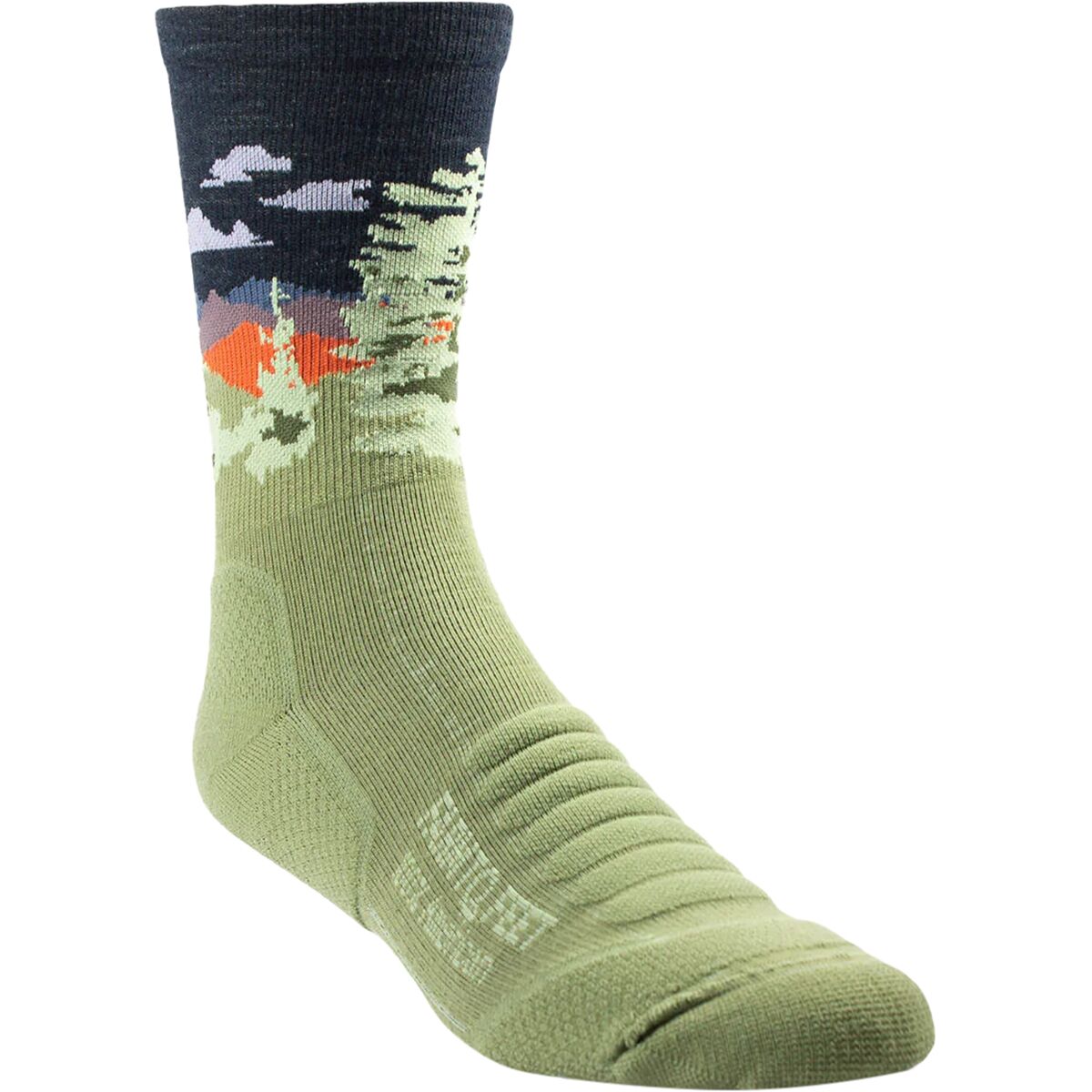
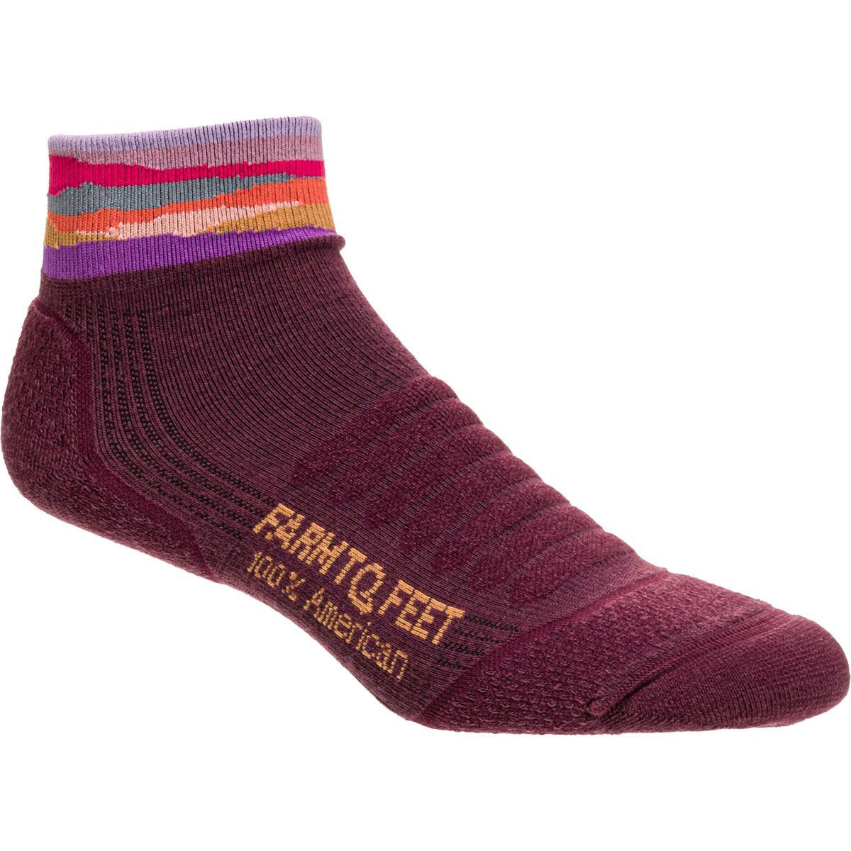
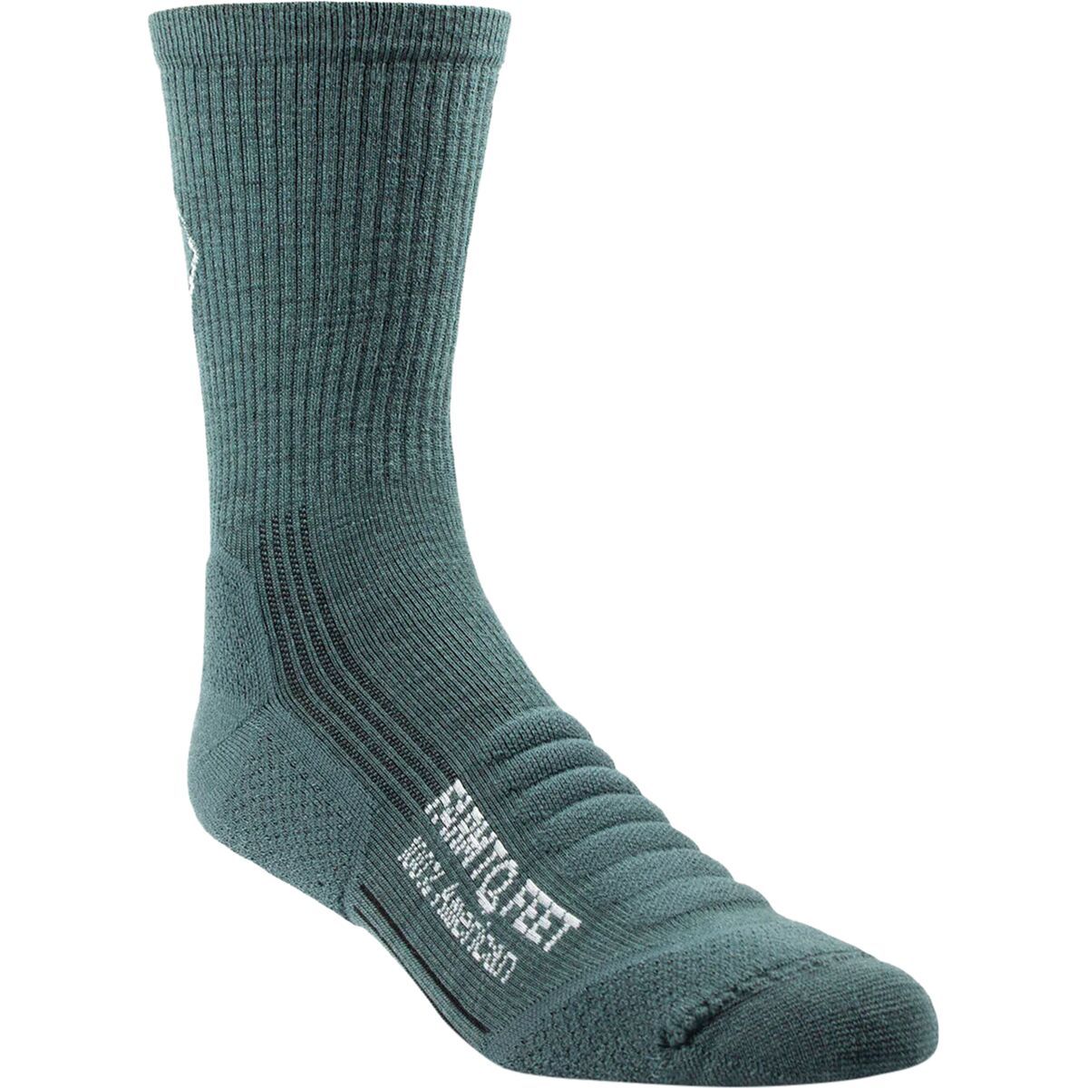
High-Altitude Climbing Socks
Buy socks around the boot fit—not the other way around. Thick does not automatically mean warmer if circulation is compromised.
High-Altitude Climbing Socks

The Insulation System Has to Work When the Schedule Stops Working.
A short delay becomes a different thermal problem above 7,000 meters, where movement is slow and shelter may be far away.
Use Layers Below—and Expedition Insulation Above
The down suit does not replace every other piece in the clothing system.
| Layer | Main role | Dhaulagiri use | Failure to avoid |
|---|---|---|---|
| Base layer | Moisture control | Approach, rotations and upper mountain | Starting with layers so warm that they become saturated during movement. |
| Fleece / active insulation | Breathable warmth | Rotations and moderate cold | Replacing breathability with bulk. |
| Hardshell | Wind / precipitation | Storm protection throughout expedition | Shell too tight over insulation. |
| Down parka | Static and camp warmth | Base Camp, rotations and lower upper mountain | Assuming the summit suit removes the need for flexible camp insulation. |
| Insulated pants | Leg warmth | Camp / cold rotations | Leaving legs dramatically under-insulated. |
| 8000m down suit | Upper-mountain survival margin | High camps and summit push according to operator system | Wearing it for the first time on summit rotation. |
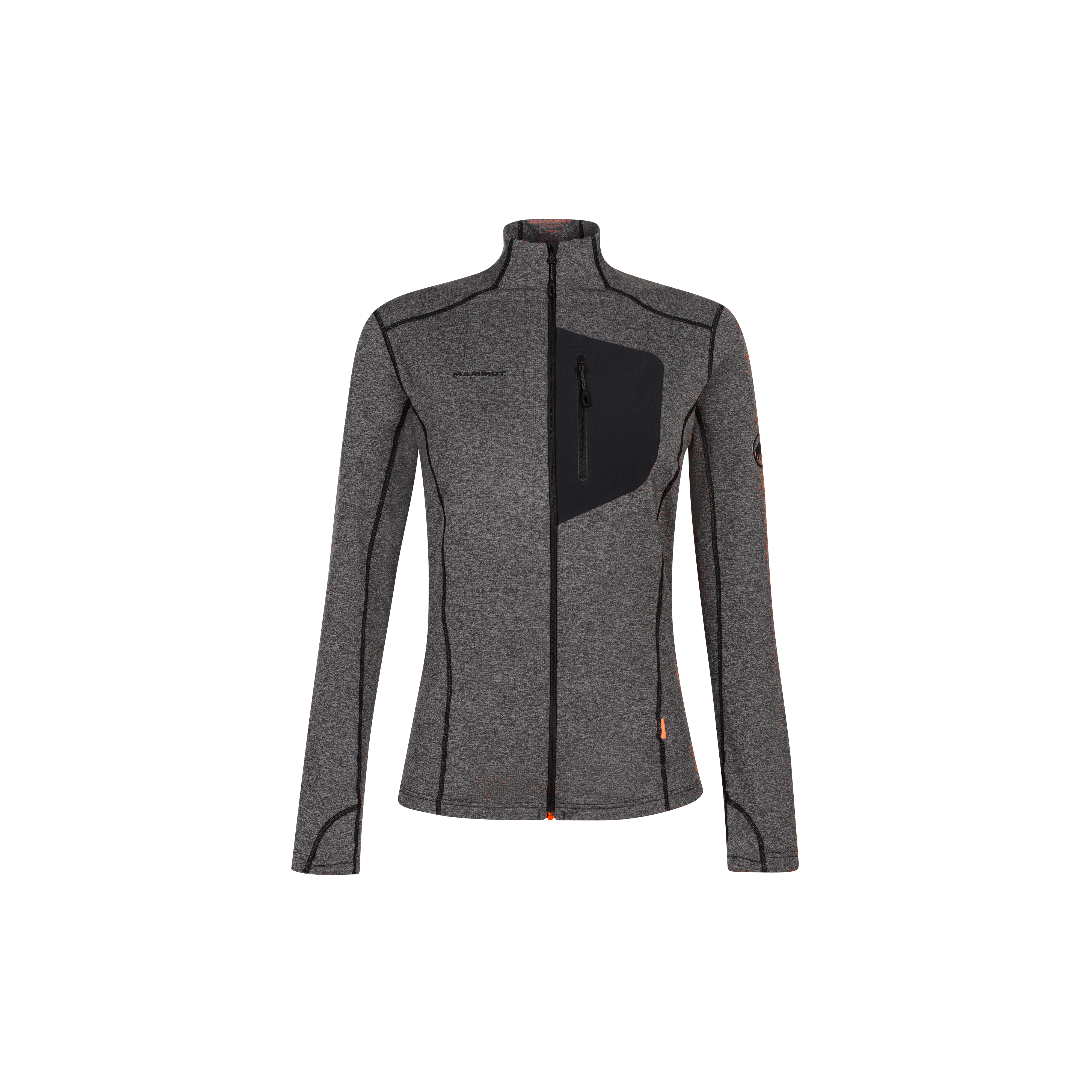
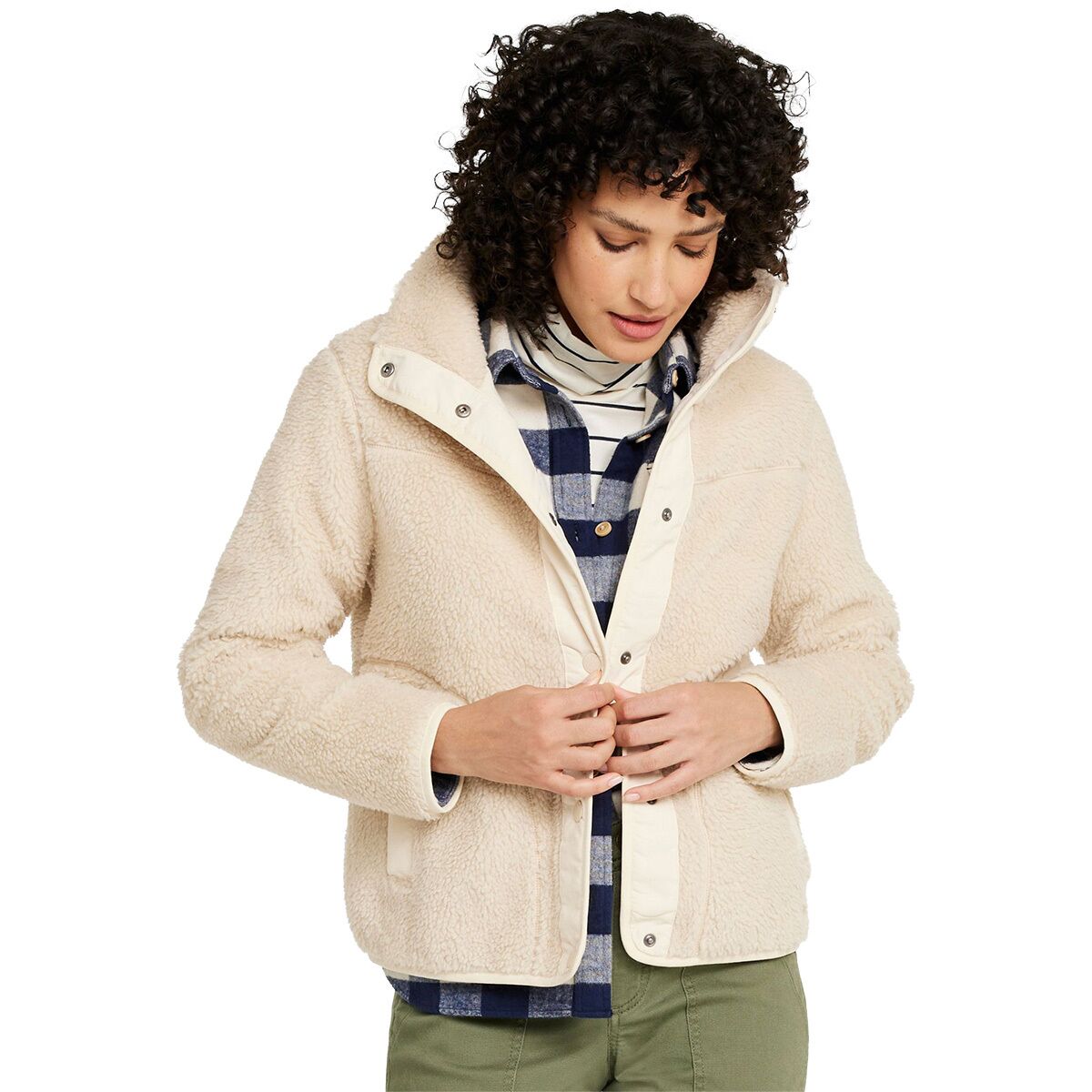
Expedition Midlayers
Midlayers should manage effort on rotations. The large parka and down suit solve a different problem.
Expedition Midlayers
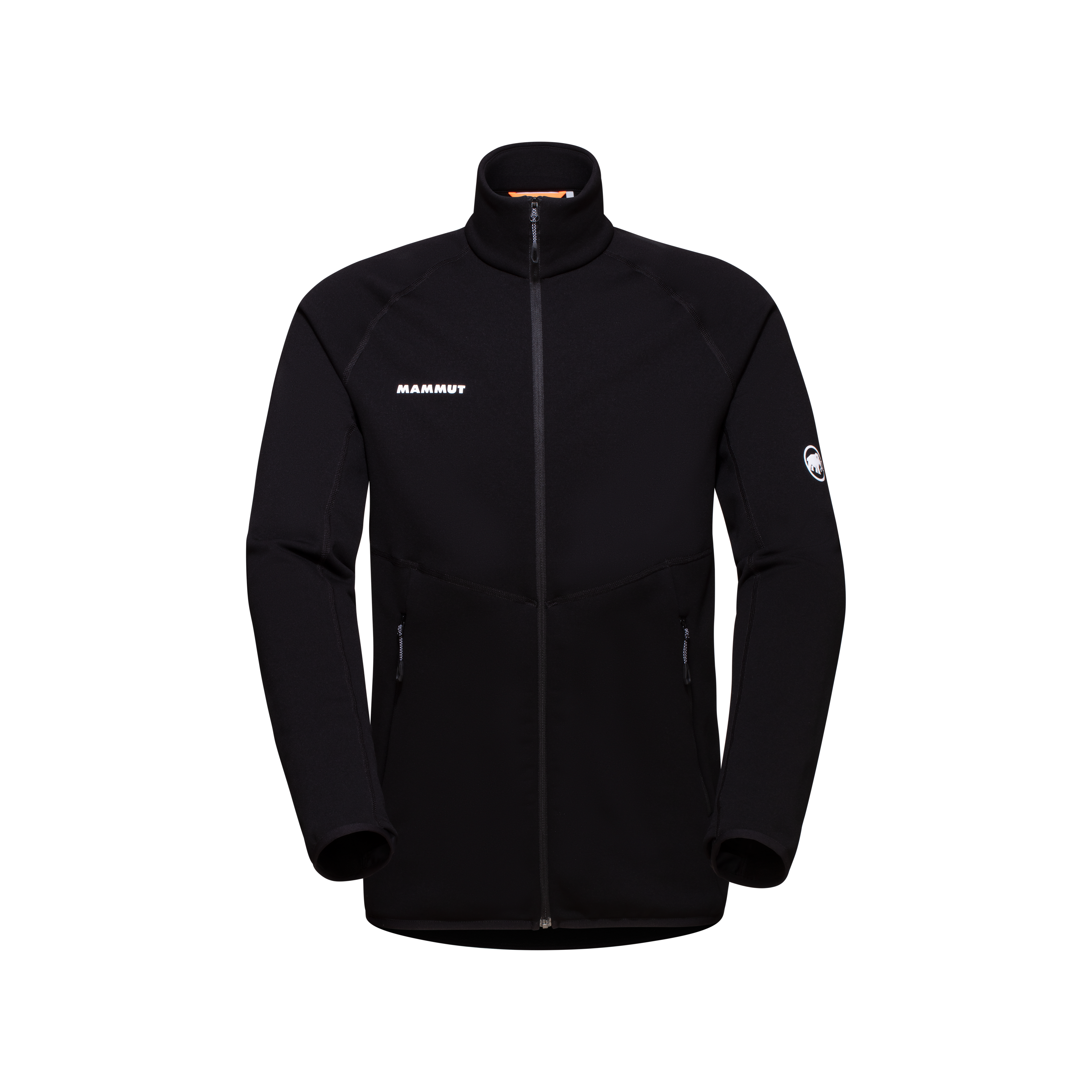
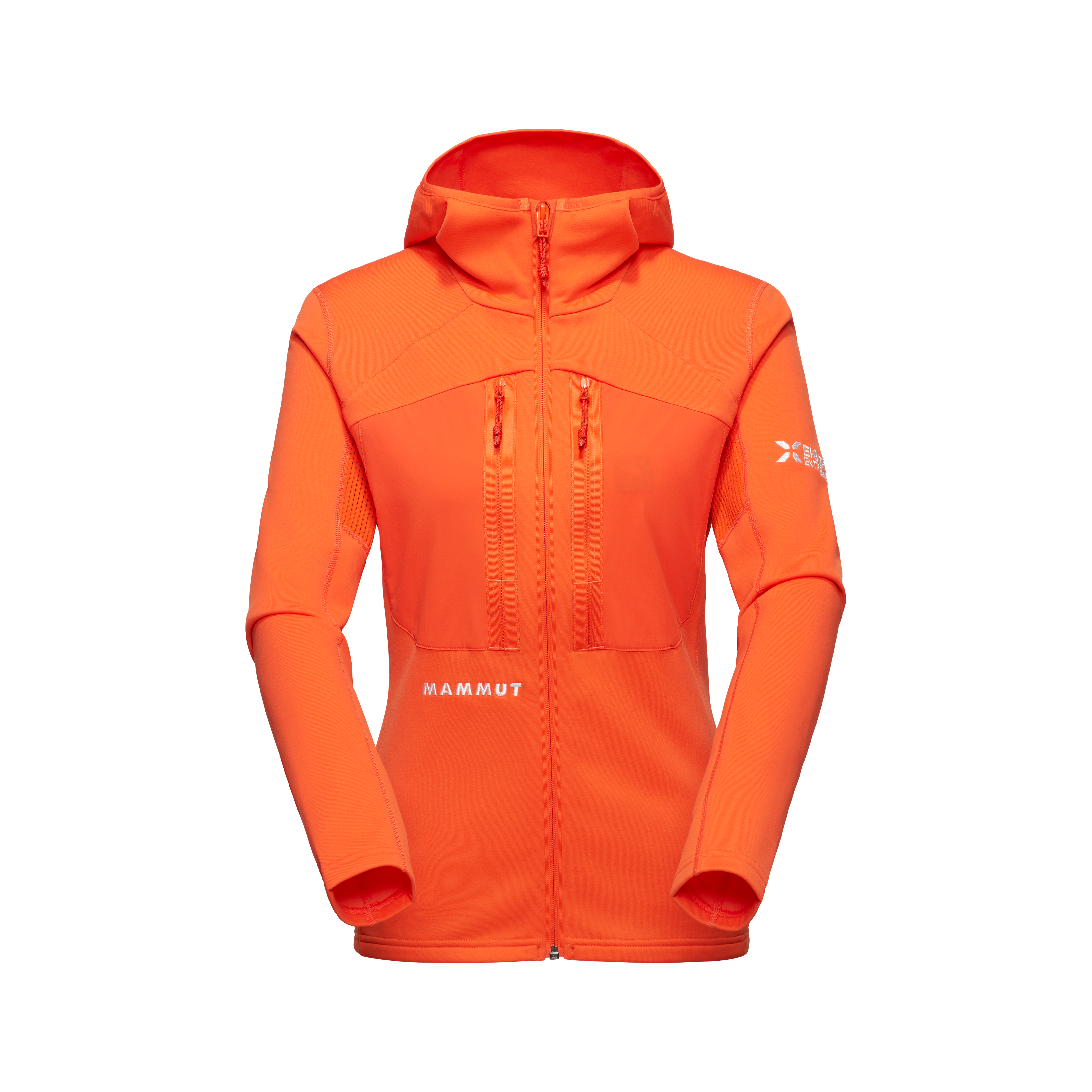
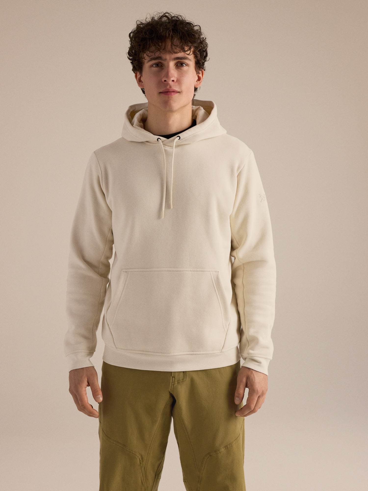
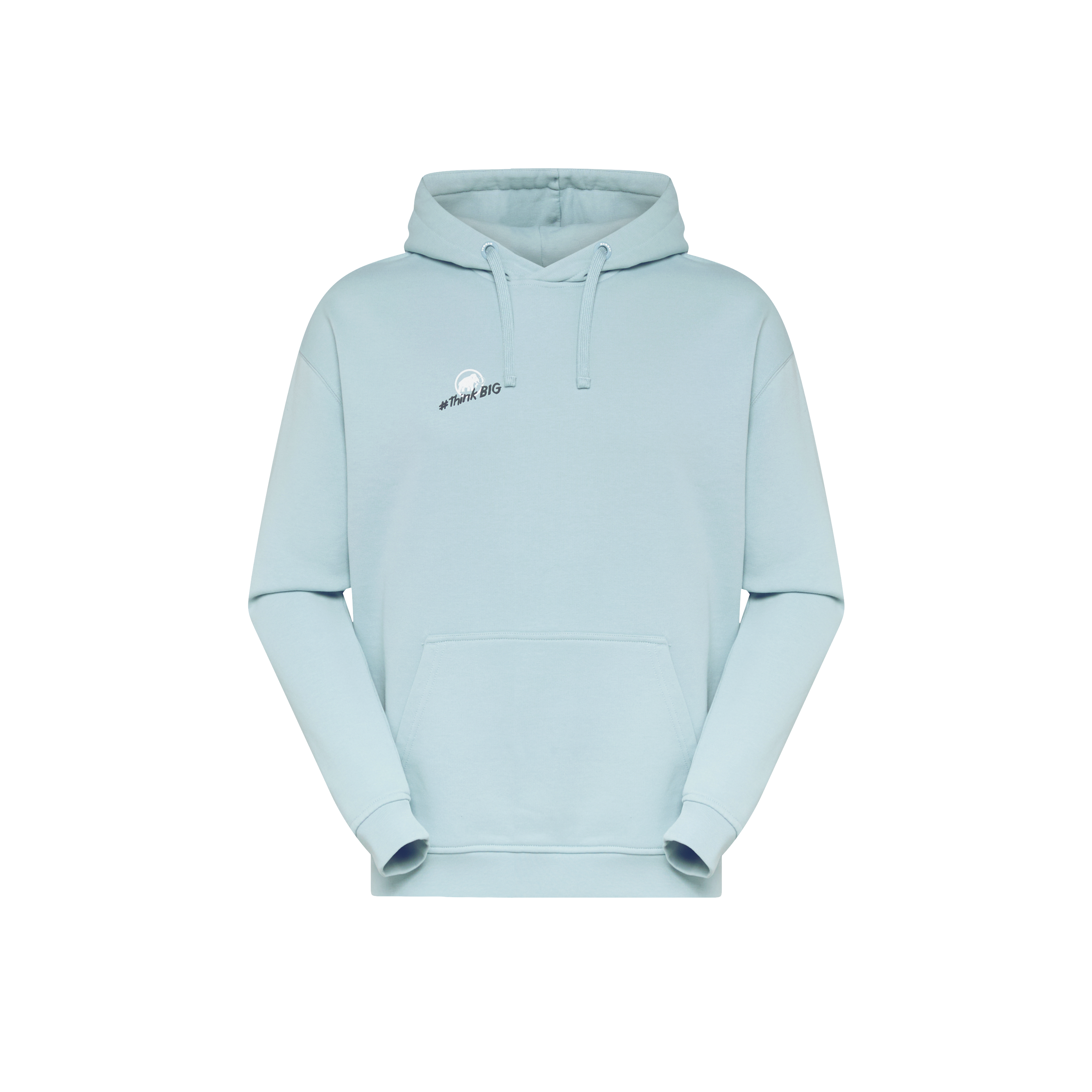
Build the complete base → active insulation → weather protection → stop / summit insulation system before choosing individual pieces.

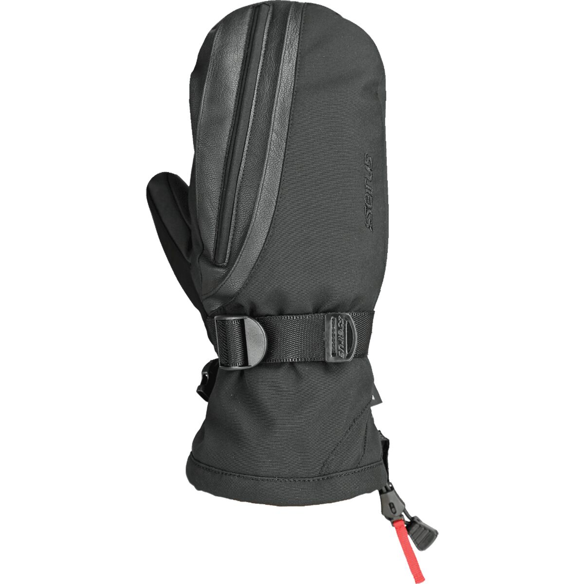
Warm Hands Still Have to Operate Ascenders, Carabiners and Oxygen Equipment.
The warmest mitt on Earth is not the only answer. Dhaulagiri needs a layered hand system that preserves both dexterity and survival warmth.
Plan for Four Levels of Hand Protection
One glove cannot efficiently solve approach, rope work, high-camp cold and summit exposure.
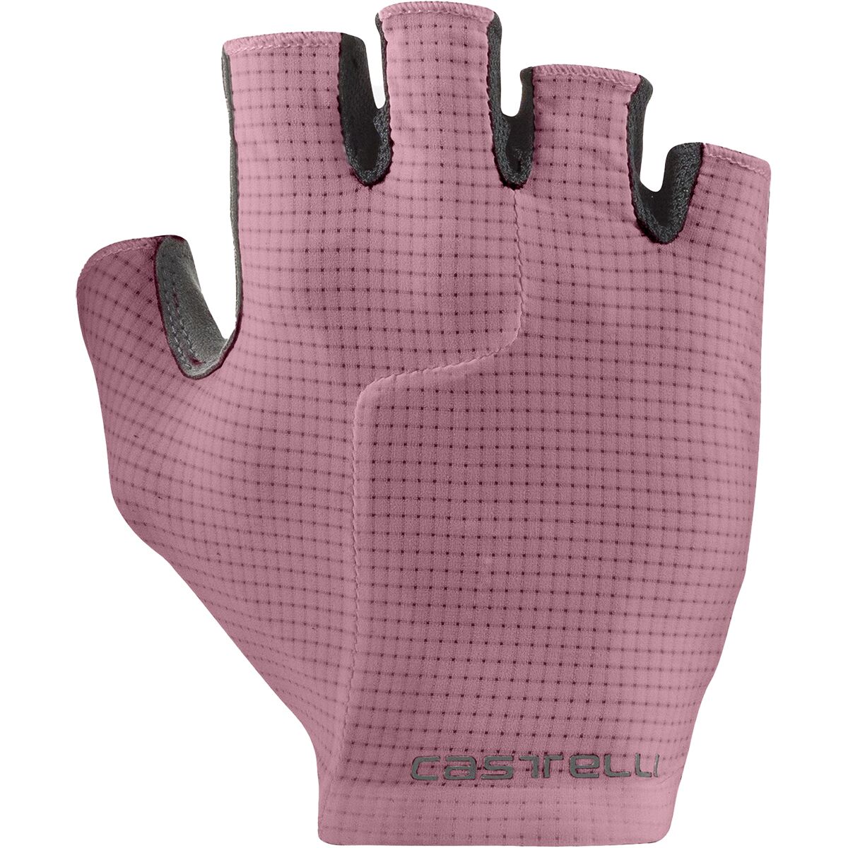
Light Dexterity Gloves
Approach, camp tasks and warmer active movement. Carry backups because thin gloves disappear easily.
Midweight Climbing Gloves
Fixed-line movement, crampon work and technical tasks where full mitts remove too much dexterity.
Heavy Climbing Gloves
Stronger insulation while still allowing meaningful rope and oxygen-system operation.
8000m Expedition Mitts
Maximum hand warmth for severe cold, summit exposure and prolonged low-output periods.
Dry Reserve
Protect one critical pair from snow, sweat and dropped equipment.
Work With the Mitts
Test zippers, ascender, carabiners, mask, regulator and headlamp controls before the expedition.
High-Altitude Gloves & Hand Protection
Build a layered system. Do not shop for a single “Dhaulagiri glove.”
High-Altitude Gloves & Hand Protection
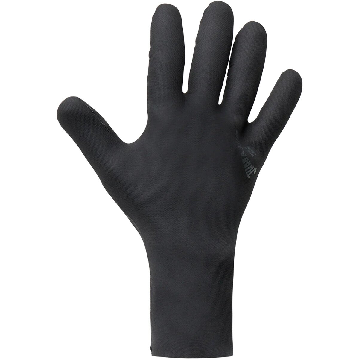
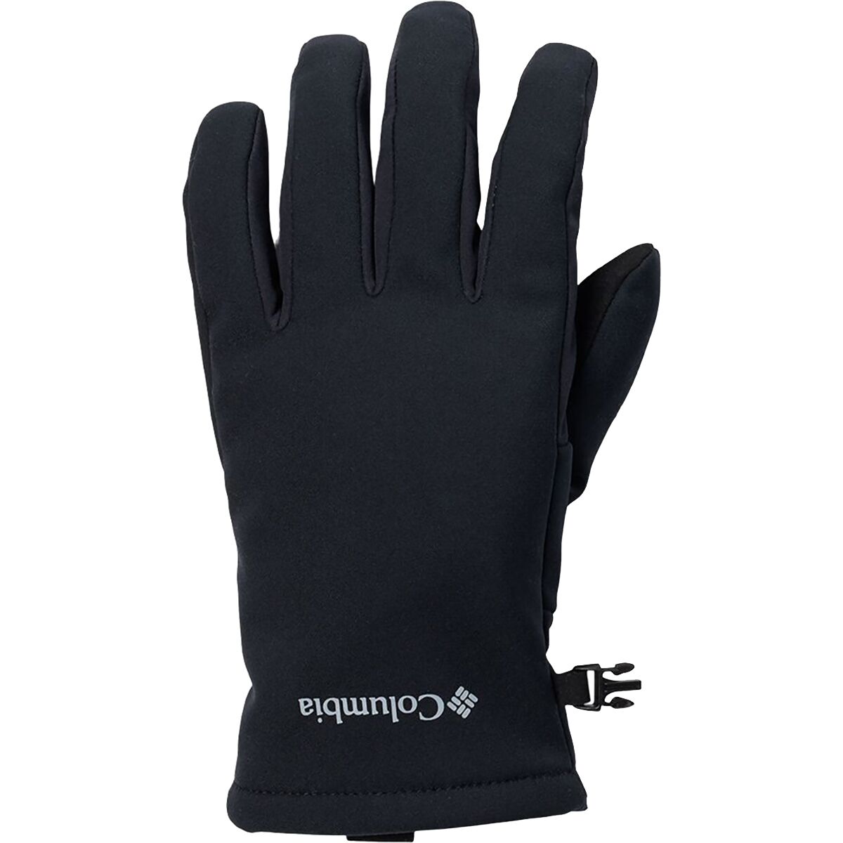
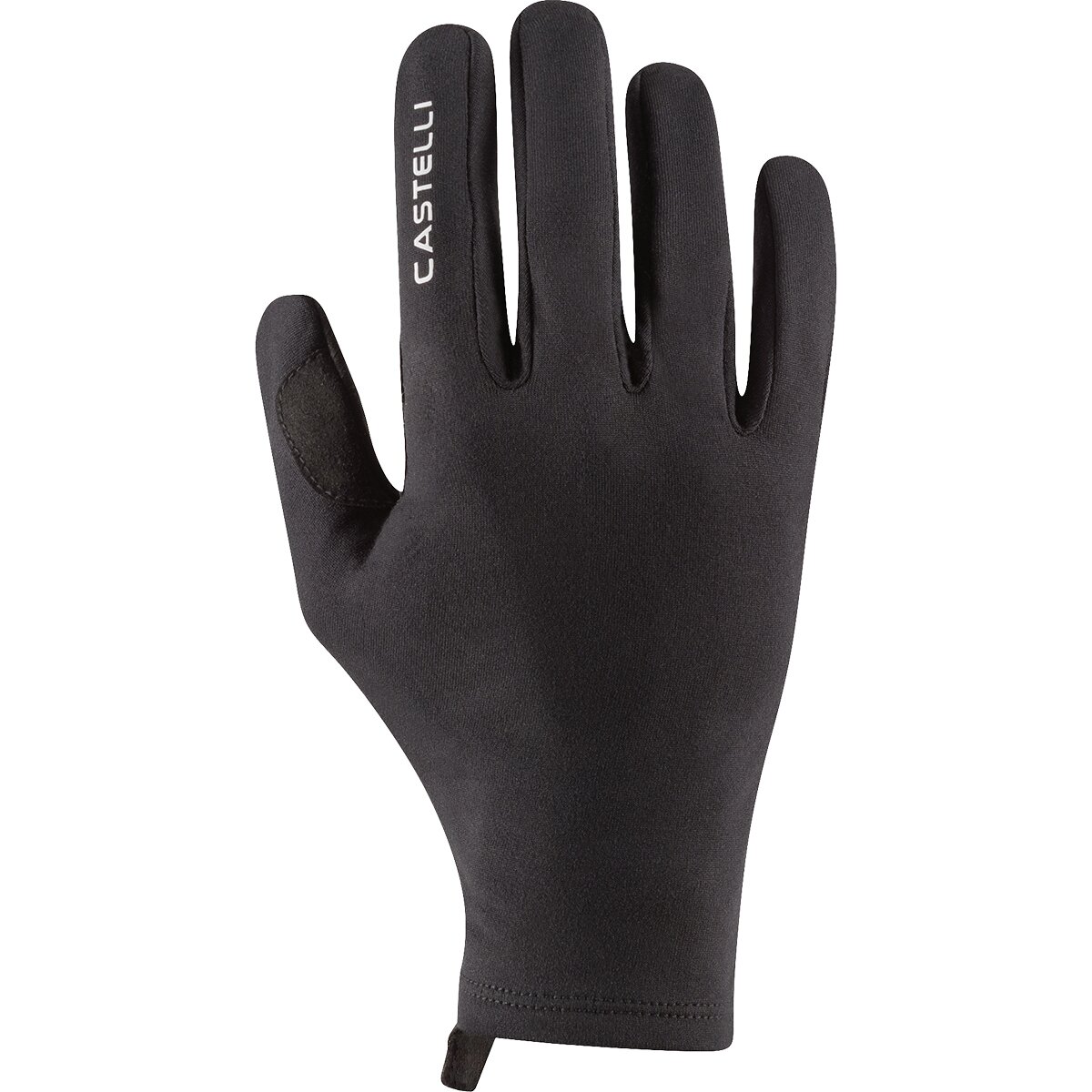
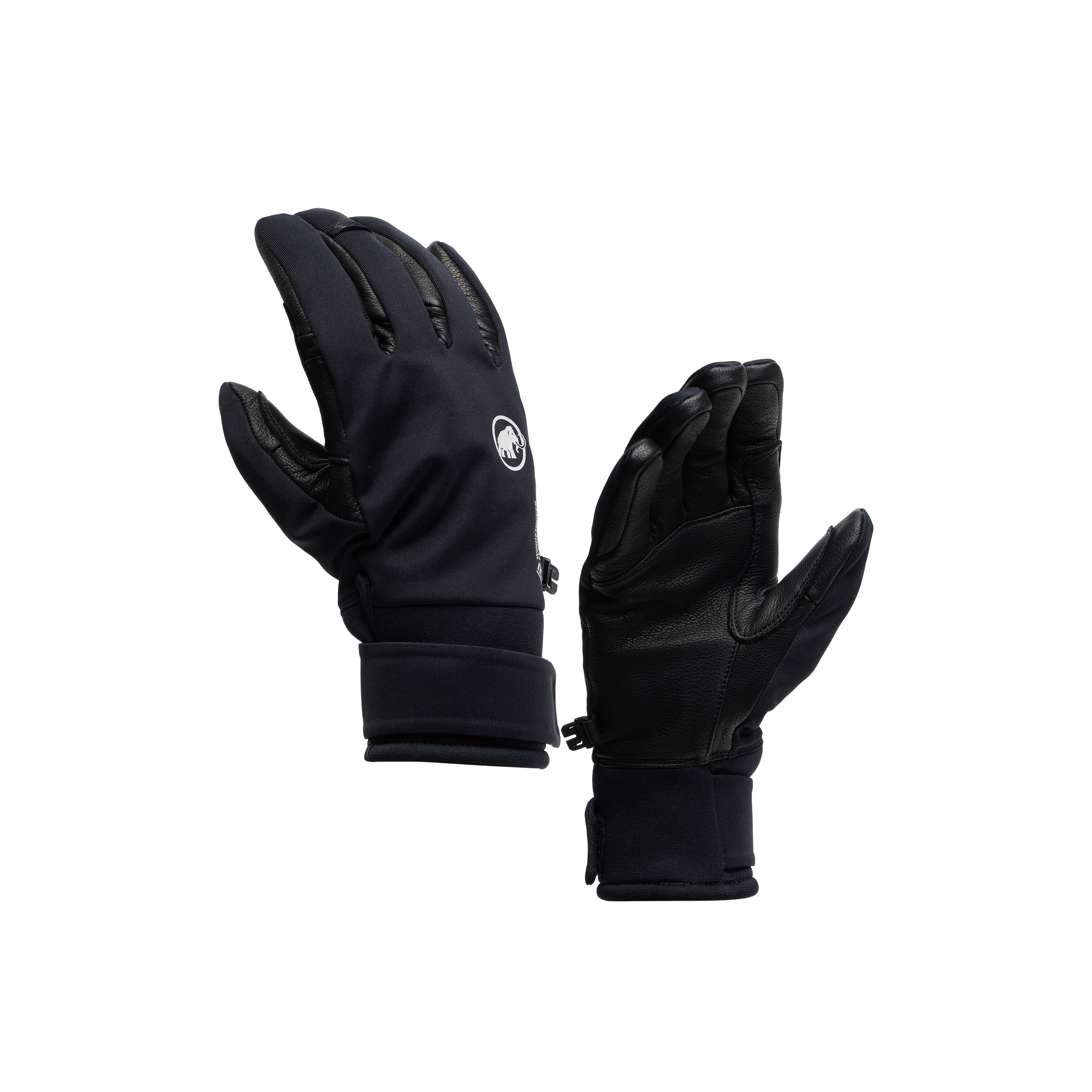
We may earn a commission if you buy through these links, at no extra cost to you. Affiliate disclosure

High Altitude Punishes Complicated Systems.
Every transition should require as little thought as possible when you are tired, gloved and working in very thin air.
Use the Hardware System Your Team Actually Trains With
Generic gear lists can tell you the categories. Your operator defines the exact setup.
Down-Suit Compatible
The harness must remain usable over bulky insulation and with large gloves.
One-Hand Familiarity
Practice feeding, removing and repositioning the device with cold-weather gloves.
12-Point System
Current 8000m lists commonly specify 12-point crampons. Fit matters more than brand.
Warm-Hat Clearance
Helmet, hat, headlamp, goggles and hood must all work together.
Operator-Specified Count
Do not copy another company’s count. Personal tether and rope systems vary.
Simple Alpine Tool
Exact length and leash / attachment practice should match the operator’s current technical standard.
Review equipment inspection, redundancy and the failure modes that matter before trusting a system above 7,000 meters.

A Sleeping Bag Is Part of the Summit Strategy.
Multiple rotations, cold camps and fragmented sleep make recovery one of the most important performance systems on the expedition.
A -40°F Bag Is Not Excessive When the High Camps Are the Problem
Current 8,000m lists often build more redundancy into sleeping gear than lower-peak checklists.
-40°F / -40°C Bag
Current CTSS 8000m guidance includes this expedition-level sleeping tier.
-20°F / -28°C Bag
Some programs use a second lighter bag for lower camps, approach or separate mountain logistics.
Two Pads
Foam plus inflatable gives higher insulation and a functioning backup if the inflatable fails.
Do Not Treat Supplemental Oxygen as a Single Piece of Gear
A functioning system includes supply, mask, regulator, flow plan, spares and cache logistics.
Bottles
Confirm the included allocation and whether emergency reserve is separate from your planned summit supply.
Mask & Regulator
Confirm brand / compatibility and whether personal ownership, rental or operator supply applies.
Use It With Gloves
Mask adjustments and regulator changes must remain possible with cold hands and large gloves.
Two Headlamps
A backup lamp is far more useful than loose spare parts if the primary electronics fail outright.
Cold-Protected Batteries
Keep spare batteries / power banks protected from deep cold according to manufacturer requirements.
Operator Radio System
Verify what handheld radio, satellite or emergency communication equipment is actually carried by members and Sherpas.
Equipment Failure and Evacuation Planning Belong in the Same Conversation.
Dhaulagiri is remote and upper-mountain rescue options are limited. Verify that your policy covers the mountain, altitude and mountaineering activity you are actually undertaking.

Dhaulagiri Gear Has to Work From Valley Approach to Death Zone.
The approach system and summit system solve completely different problems— which is why expedition packing becomes modular.
What Changes From Base Camp to the Summit?
Camp elevations move by season, but the equipment progression remains useful.
Recovery and Organization
Trekking footwear, camp shoes / down booties, down parka, sleep system, charging, hygiene, dry clothing, duffels and equipment-repair organization dominate here.
The Technical System Comes Online
Climbing boots, crampons, harness, ascender, helmet, shell, climbing gloves, headlamp and rope attachments become normal working equipment.
Cold Margin Increases
Warmer gloves, stronger insulation, goggles, thermos, face protection and severe-cold sleep equipment become increasingly important.
Summit System
8000m boots, expedition down system, summit mitts, goggles, redundant lighting, oxygen system and a minimal, efficient summit pack take priority.
Carry Only What Supports the Summit and Descent
Clothing, oxygen, technical attachment, hydration, calories, lighting and emergency margin. The goal is not an ultralight summit pack; it is a pack containing everything necessary and almost nothing irrelevant.
Review the Northeast Ridge Before Finalizing the Pack.
Route, camp strategy and support model determine which technical systems you personally carry.
Pack by Destination, Not Just by Category
An expedition bag becomes much easier to manage when everything already has a camp role.
Base Camp / Recovery
Spare layers, camp clothing, hygiene, repair items, charging, down booties and long-stay comfort.
Upper Mountain Cache
Sleeping system, climbing insulation, high-camp accessories and equipment intended to move above Base Camp.
Immediate Climbing Kit
Shell, gloves, water, food, technical hardware, light, emergency items and layers required during that rotation.
Expedition Duffels
Favor strong, simple, soft-sided bags that tolerate porter transport and can be clearly labeled.
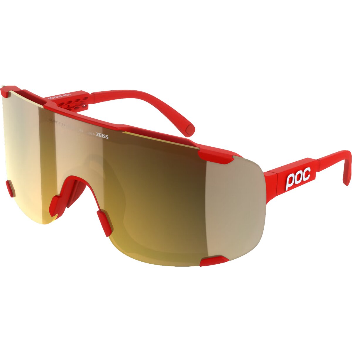
Carry Redundant Glacier Eyewear
Current 8000m lists commonly specify two glacier-glass systems. At extreme UV exposure, a lost pair cannot become a single point of failure.
Glacier Sunglasses
Reconfirm equipment, forecasts, batteries, operator communications, documents and irreplaceable items before the bags leave Kathmandu.

A Replacement Item Is Much Farther Away Than It Looks on the Map.
Once the expedition moves beyond Kathmandu and Pokhara, specialized 8,000m equipment becomes progressively harder to replace.
Seven Gear Mistakes That Matter More Than Buying the Latest Model
Most expedition equipment failures start before Nepal.
Boots Too Small
Thick socks, swollen feet and reduced circulation turn a warm boot into a cold one.
One Glove System
Wet, lost or damaged gloves need a real backup— not a thinner pair intended for Base Camp.
Unpracticed Down Suit
Harness, bathroom access, pockets, oxygen and technical movement should already be familiar.
Crampons Never Tested on Summit Boots
Binding incompatibility belongs in the garage, not at Camp 2.
One Headlamp
Extra batteries do not solve a broken switch, cracked housing or failed lamp.
Unclear Oxygen Responsibility
Never assume mask, regulator and reserve supply are included because bottles are included.
Buying Group Gear Yourself
Spend money on personal systems first. Confirm operator infrastructure before purchasing duplicates.
Dhaulagiri I in Western Nepal
The remote approach is one reason personal equipment reliability matters so much.
Dhaulagiri Gear List FAQ
The equipment decisions most likely to affect cost, comfort or summit safety.
What gear do I need to climb Dhaulagiri?
A typical supported Northeast Ridge expedition requires 8,000m mountaineering boots, expedition insulation or down suit, layered gloves and expedition mitts, shell clothing, glacier eyewear, crampons, harness, ascender, helmet, ice axe, fixed-line accessories, severe-cold sleeping equipment, climbing pack, headlamps, hydration gear and operator-approved oxygen equipment.
Do I need an 8000m down suit for Dhaulagiri?
Most modern supported 8,000m systems use an expedition down suit or an equivalent very-high-altitude modular system for upper camps and the summit push. Follow the exact requirement of your operator.
What boots do I need for Dhaulagiri?
Treat true 8,000m insulated mountaineering boots as the baseline for the upper mountain. The exact model should match your foot, crampon binding, cold tolerance and operator requirement.
Can I use 7000m boots on Dhaulagiri?
A boot that is adequate on a lower expedition may provide too little thermal margin during a delayed or windy Dhaulagiri summit day. Do not downgrade footwear without explicit guidance from an experienced Dhaulagiri operator.
What sleeping bag do I need for Dhaulagiri?
Current general 8,000m expedition checklists can specify a -40°F / -40°C bag, and some systems also use a second approximately -20°F / -28°C bag. Confirm the exact arrangement with your operator.
How many gloves should I bring?
Think in systems rather than one exact number: light dexterity gloves, midweight climbing gloves, heavier climbing gloves and expedition mitts, with enough redundancy to recover from wet or lost handwear.
What size pack do I need?
Current 8,000m checklists commonly use a roughly 50–65L climbing pack, sometimes supplemented by a smaller 30–40L day or summit pack. Your personal load depends heavily on Sherpa support.
Do I need my own ropes for Dhaulagiri?
On a fully supported expedition, route-fixing rope and major group rope systems are commonly supplied by the operator. Personal slings, carabiners, ascender and Prusik / tether systems are usually personal. Confirm before purchasing rope.
Do I need my own oxygen?
Supplemental oxygen is usually integrated into the operator package on supported expeditions, but bottle allocation, masks, regulators, flow rates and reserve oxygen vary. Adventure Consultants currently lists four oxygen bottles in its Dhaulagiri inclusion package.
Do I need two headlamps?
Carrying a complete backup headlamp is common on serious 8,000m checklists. A second lamp protects against failures that extra batteries cannot fix.
Do I need two pairs of glacier glasses?
Redundant eye protection is standard on many current 8,000m lists. Losing or breaking glacier glasses high on the mountain can create a serious snow-blindness risk.
Should I buy or rent Dhaulagiri gear?
Own fit-critical and skill-critical equipment such as boots, socks, gloves, eyewear and ideally the harness / ascender system. Sleeping bags, parkas and some technical items may be rentable, depending on the operator.
What should I practice before the expedition?
Practice the exact boots and crampons, down-suit / harness combination, ascender, carabiners, glove transitions, goggles, summit pack and oxygen interface you expect to use.
What is the biggest Dhaulagiri gear mistake?
Underbuilding the cold systems while overbuying equipment the operator already provides. Prioritize feet, hands, insulation, sleep and practiced personal hardware.
What Part of Your Dhaulagiri Plan Is Still Unresolved?
This page owns personal equipment. Send every other decision to its owner page.
Sources Used to Build the Dhaulagiri Gear System
Operator equipment lists change, so this page separates durable principles from operator-specific details.
Climbing the Seven Summits
Current 2026 8,000m checklist covering triple-insulated boots, down suit, mitts, packs, technical hardware, two headlamps and severe-cold sleeping systems.
Adventure Consultants
Current Dhaulagiri program used to verify operator-supplied team equipment, Sherpa support, Base Camp infrastructure, medical systems and four-bottle oxygen inclusion.
Madison Mountaineering
Current high-altitude equipment architecture cross-checked for base layers, shells, down parka, insulated pants, down suit and operator-provided group gear.
Global Summit Guide
The Dhaulagiri parent and route comparison own Northeast Ridge geometry, camp structure, route history and condition-sensitive technical context.
Do Not Pack for the Planned Summit Day. Pack for the Summit Day That Goes Wrong.
Dhaulagiri gear should still function when the wind increases, movement slows, gloves become wet, batteries lose power or the descent takes hours longer than expected. Spend first on feet, hands, insulation, sleep and practiced personal hardware. Confirm everything else against the operator’s expedition system.
Build My Dhaulagiri Gear Plan Open the Full Dhaulagiri GuideThis peak is one of the 14 mountains on Earth above 8,000 meters
The 14 eight-thousanders are the only mountains on Earth that rise above 8,000m — the altitude where the human body enters the Death Zone. See the complete collection ranked by elevation, with death rates, first ascent history, and the Messner/Kukuczka/Nims Purja completion records.
View All 14 Eight-Thousanders →🏔 Part of the 14 Eight-Thousanders
One of the 14 mountains on Earth above 8,000m. See the complete collection with death rates, first ascents, and the 14 Peaks Challenge history.
View All 14 Eight-Thousanders →Was this helpful?
🏔Related peaks nearby
🧭Explore & compare
Global Summit Guide is an independent mountaineering resource founded in 2026. The team combines first-hand trekking and climbing experience with in-depth research and professional health and nutrition review to help climbers choose objectives, prepare properly, and stay safe.
Health, altitude, and nutrition content is reviewed by Taylor Ludlow (Registered Nurse) and Brigg Hoopes (Nutritionist).
What We Don't Know Yet
Mountain information changes quickly. This box explains the limits of what this page can responsibly promise.
- Gear requirements can change by season, route variation, weather window, personal cold tolerance, and guide-service requirements.
- Visa, passport, vaccination, border, insurance, and local transportation rules may change before your trip.
- Route conditions, snowpack, closures, and weather can change quickly after this page is updated.
- Permit rules, fees, quotas, and reservation windows may change between review cycles.
- Operator availability, pricing, guide ratios, and cancellation terms can change by season.
Verify current conditions with official land managers, guide services, local forecasts, and current route reports before booking or climbing.
Mountaineering, rock and ice climbing, glacier travel, and high-altitude activity are inherently dangerous and can result in serious injury or death. The information on Global Summit Guide is provided for general informational and educational purposes only and is not a substitute for professional instruction, qualified guiding, proper equipment, or your own judgment and experience.
Route conditions, weather, snowpack, permits, regulations, and hazards change constantly and may differ from what is described here. Details may be incomplete, out of date, or contain errors. Always verify current information with local authorities, certified guides, and official sources before making any decision in the mountains.
Nothing on this site is medical, legal, or financial advice. Our fitness, acclimatization, altitude, and nutrition content is general in nature; consult a qualified physician before beginning any strenuous exercise program or exposing yourself to high altitude.
You are solely responsible for your own safety and decisions. To the fullest extent permitted by law, Global Summit Guide and its team accept no liability for any loss, injury, damage, or expense arising from use of, or reliance on, this information. By using this site you acknowledge these risks and accept these terms.
Some links on this site may be affiliate links. If you buy through them we may earn a small commission at no extra cost to you; this never affects our recommendations.
Global Summit Guide recommendation path
Next Best Mountain to Research
Use these recommendations to continue the right planning path instead of stopping on one page.
Use current permit, weather, route, and operator information before booking or climbing.