
Last updated October 15, 2026
The World’s Great High Routes.
From Alpine refuges to the high passes of Nepal and California’s granite wilderness, compare the world’s defining hut treks, circuits and true high traverses—and choose the one that fits your experience.
Independent research · 17 routes reviewed · distances and seasons are planning estimates
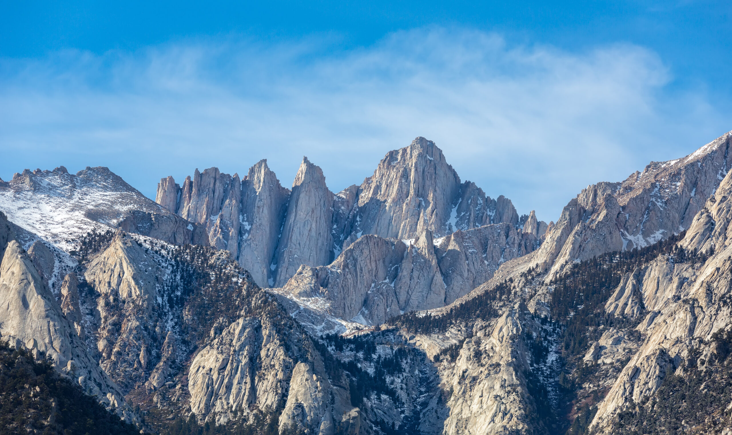
Find the right kind of high route.
The term covers everything from supported hut walks to demanding off-trail mountaineering. The best first step is not choosing a famous name. It is choosing the right terrain and support system.
Where should you begin?
First major hut trek: Tour du Mont Blanc or Alta Via 1. Harder alpine trekking: Walker’s Haute Route or GR20. Altitude objective: Annapurna Circuit with a careful acclimatization plan. Expert navigation: Sierra High Route. Glaciated mountaineering: the original Chamonix–Zermatt Haute Route, only with the necessary glacier skills or a qualified guide.
Hut-to-hut treks
Established mountain stages link refuges, rifugi, teahouses or cabins. A lighter pack reduces logistics, but does not eliminate exposure to mountain weather.
See first hut-to-hut hikes →Alpine circuits
Walk around one great massif, gaining changing views while returning to your starting region. Circuit logistics can be easier, but daily ascent may still be severe.
See one-week mountain circuits →High traverses
Travel point to point through the high country, sometimes off trail, on glaciers or over exposed cols. Navigation and retreat options often define difficulty.
High route vs thru-hike →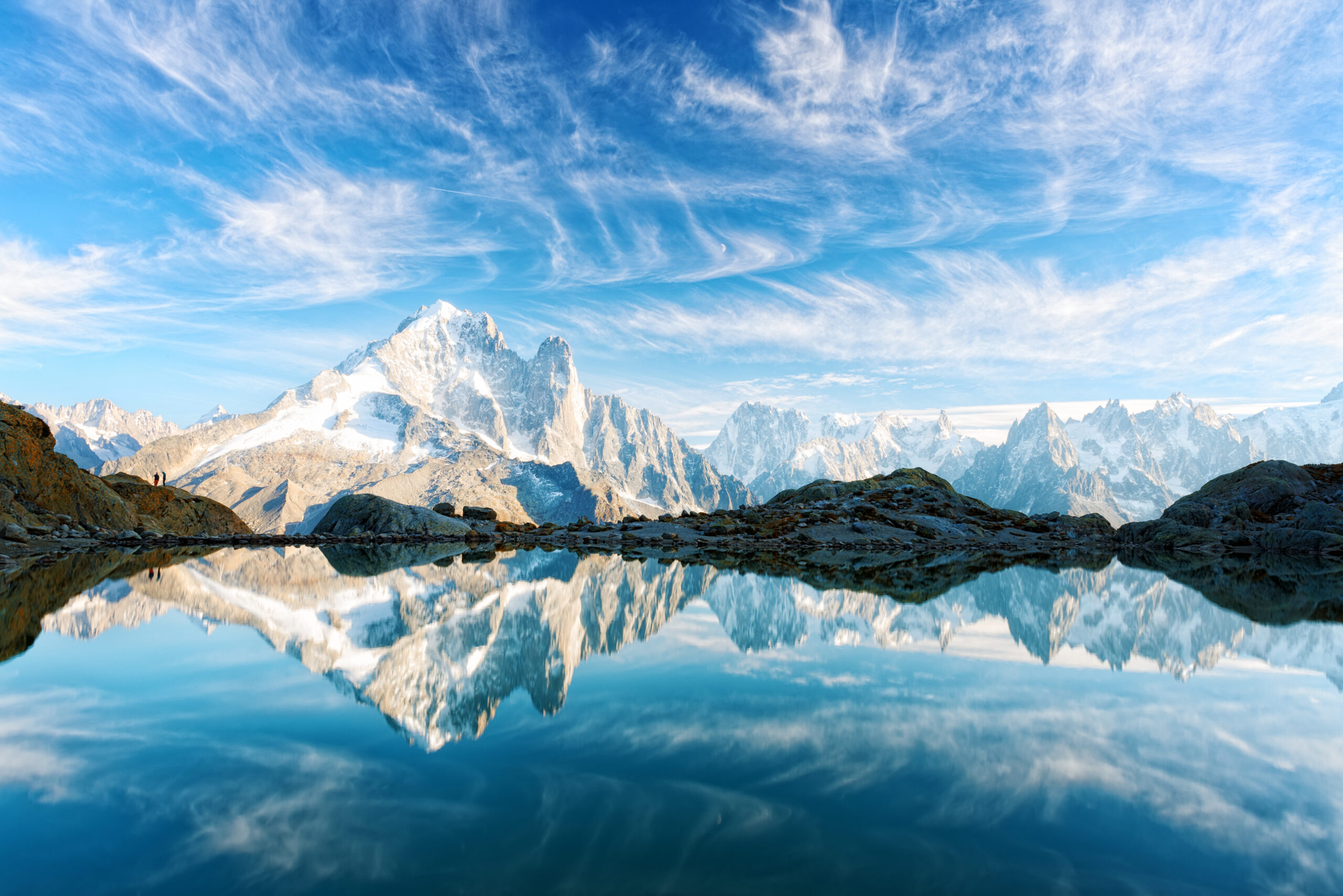
The Alps make it possible to stay high for days.
Europe’s refuge network makes the mountains unusually accessible for a week or two at a time. On the Tour du Mont Blanc, regular villages and huts create a flexible first major trip. Alta Via 1 concentrates the experience among Dolomite walls and rifugi; Walker’s Haute Route extends the challenge between the Mont Blanc and Matterhorn regions.
Critical distinction: the walking version of Walker’s Haute Route follows mountain paths. The glaciated Chamonix–Zermatt Haute Route is an alpine mountaineering objective requiring very different skills.
Know the progression before you book.
These routes are often compared but deliver very different amounts of exposure, altitude, navigation responsibility and lodging comfort.
Trip-day estimates change with pace, variant, transfer points, snow conditions and acclimatization. Always use the full route guide for logistics.
The Himalaya trades hut networks for altitude decisions.
Nepal’s teahouse routes offer strong local logistics, but a pass over 5,000 metres is fundamentally different from a summer hiking pass in the Alps. On the Annapurna Circuit, the crossing of Thorong La at 5,416 metres makes acclimatization, weather and pacing central to the plan.
The Everest Three Passes circuit similarly links mountain valleys with substantial elevation and weather exposure. It suits trekkers comfortable with multi-day altitude management, changing conditions and long descents.
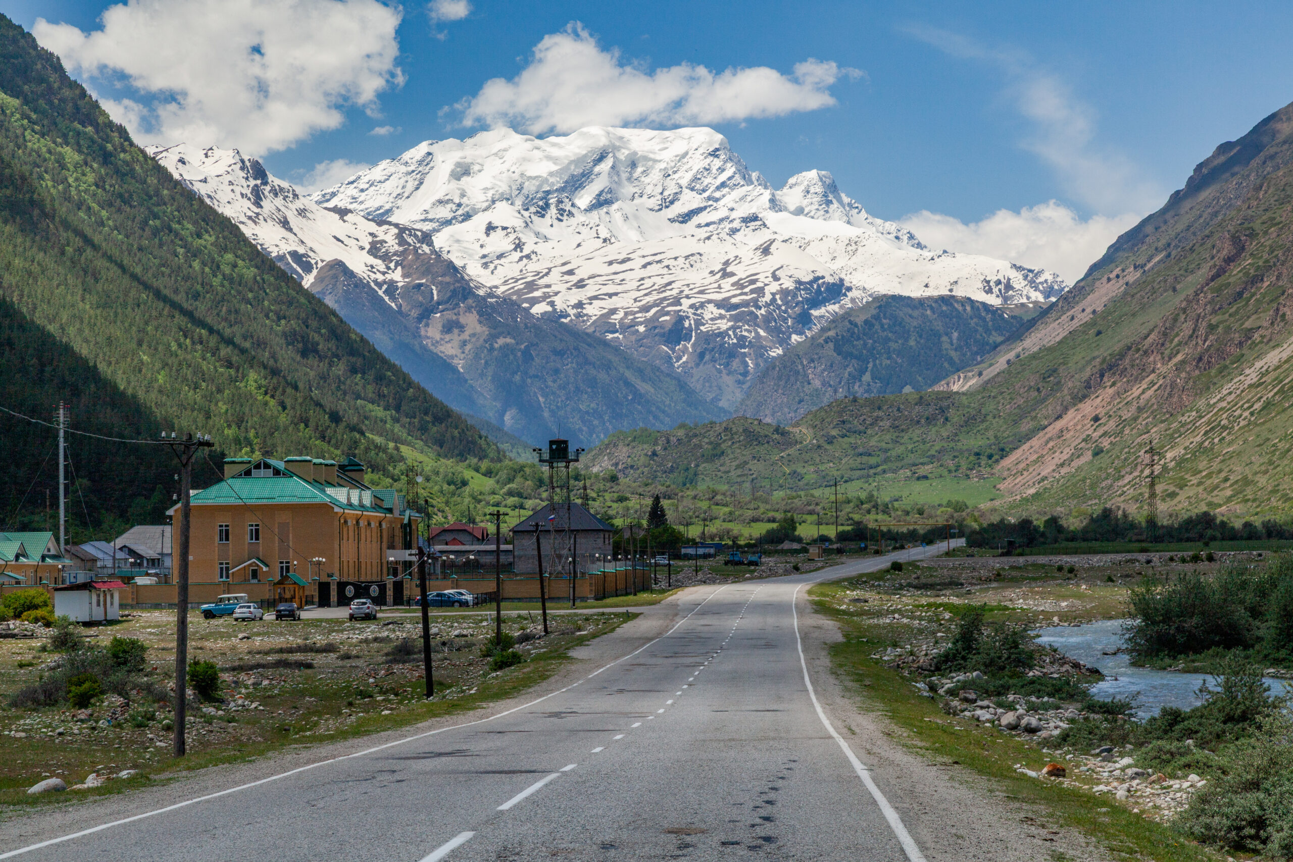
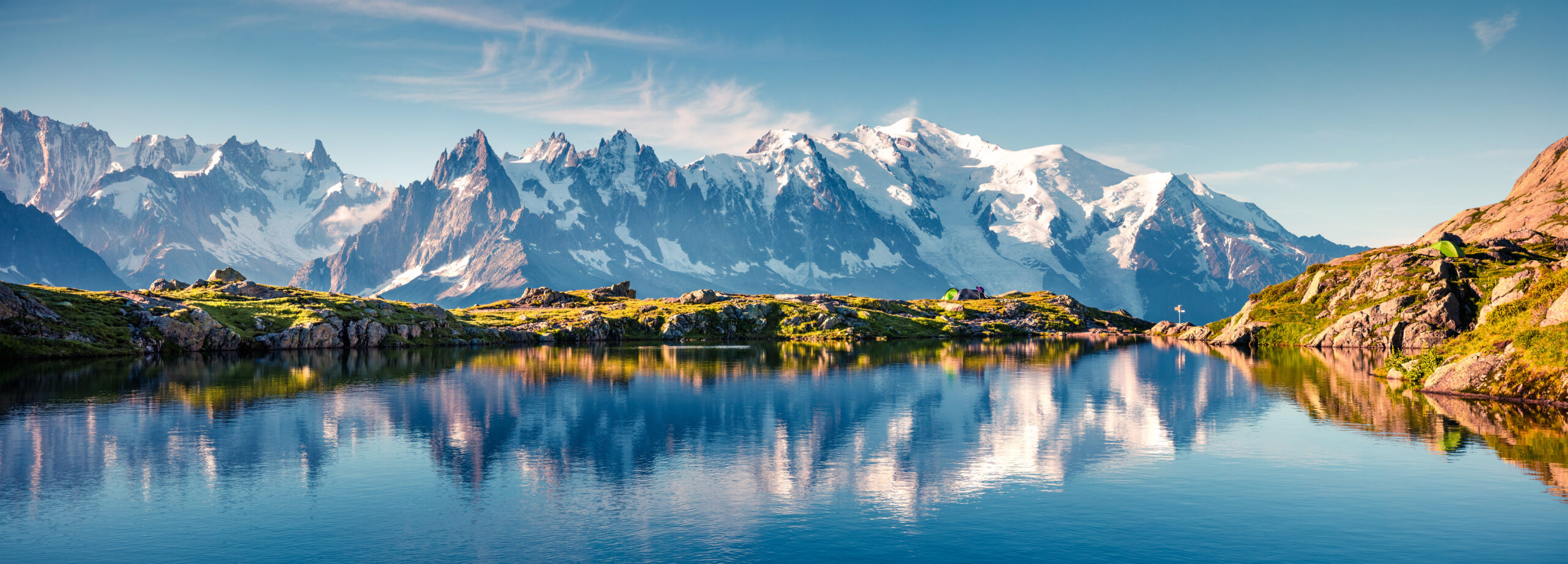
Some high routes are mountain expeditions—not ordinary hikes.
Off-trail terrain, steep rock and snow-covered cols create consequences that a trail distance cannot communicate. The Sierra High Route tests backcountry navigation and route finding; the glaciated Haute Route introduces roped glacier travel. Japan’s Yari–Hotaka link can introduce serious exposure and fixed chains or ladders.
These are not sensible “next trips” solely because someone has finished an easier hut trek. Develop the relevant skills first, or use qualified local guidance.
17 great high routes, side by side.
Filter the routes by region or travel style, then compare how long they take and what the terrain demands. “Difficulty” is a broad editorial planning category—not a substitute for current route conditions.
| High route | Region | Style | Approx. distance | Days | Challenge | Usual season |
|---|---|---|---|---|---|---|
| Tour du Mont Blanc | Alps | Circuit + hut | ≈170 km | 7–11 | Strenuous | Jun–Sep |
| Walker’s Haute Route | Alps | Hut trek | ≈215 km | 12–14 | Hard | Jul–Sep |
| Chamonix–Zermatt Haute Route | Alps | Glaciated traverse | Varies | 6–7 | Technical | Season dependent |
| Alta Via 1 | Dolomites | Hut trek | ≈120–125 km | 8–12 | Moderate–hard | Jun–Sep |
| Alta Via 2 | Dolomites | Hut trek | ≈160 km | ≈13 | Hard / exposed | Jul–Sep |
| Tour de Monte Rosa | Alps | Circuit | ≈160 km | 9–11 | Hard | Jul–Sep |
| GR20 Corsica | Corsica | Rugged traverse | ≈180 km | 15–16 | Very hard | Jun–Sep |
| Pyrenean Haute Route | Pyrenees | High traverse | ≈800 km | 40–50 | Expert | Jul–Sep |
| Annapurna Circuit | Nepal | High circuit | Variable: ≈160–230 km classic | 12–18 | High altitude | Spring / autumn |
| Everest Three Passes | Nepal | High circuit | Varies | 17–21 | High altitude | Spring / autumn |
| John Muir Trail | Sierra Nevada | Backcountry traverse | ≈340 km / 211 mi | ≈14–25 | Hard | Jul–Sep |
| Sierra High Route | Sierra Nevada | Off-trail traverse | ≈314 km | Varies | Expert | Jul–Sep |
| Torres del Paine O Circuit | Chile | Circuit | ≈130 km | ≈8 | Hard | Nov–Mar |
| Laugavegur | Iceland | Hut trek | ≈55 km | 4–5 | Moderate / exposed | Late Jun–Sep |
| Kungsleden | Sweden | Long hut trail | ≈440 km (full) | Weeks | Moderate / remote | Summer |
| Kamikochi–Yari–Hotaka | Japan | Exposed traverse | Varies | 5–6 | Expert / exposed | Jul–Sep |
| Overland Track | Tasmania | Wilderness trek | ≈65 km standard | 6 | Moderate–hard | Oct–May |
Distances and seasons are approximate and vary by route version. Walker’s Haute Route uses a roughly 215 km walking itinerary; historical summaries may quote shorter variants. The modern Annapurna Circuit varies with road transfers. Table scrolling is available on phones.
Different landscapes. Different planning problems.
From wilderness camping in California to weather-dominated trails in the North Atlantic, the high-route concept takes on a different character in every region.
California: wilderness and navigation
The John Muir Trail follows a long trail corridor with permits, resupply, camping and a high summit finish. The parallel Sierra High Route is less about following a tread and more about finding your way across granite country.
Read the John Muir Trail planning guide →
Iceland: short mileage, serious weather
Laugavegur is compact by world standards, yet open terrain, snow, wind and river fords can make the trip more serious than its four classic days suggest.
Read the Laugavegur Trail guide →
Tasmania: huts do not guarantee shelter
On the Overland Track, walkers must plan for wilderness weather and carry a tent even when public huts are on the itinerary.
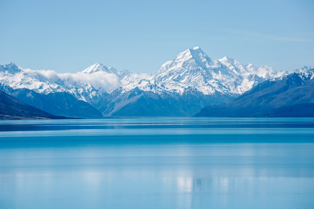
Six decisions that determine whether the route works.
Good logistics do more to protect a mountain trip than a perfect-looking itinerary. Work through the constraints in the right order.
Define the real terrain
Separate maintained hiking trails from via ferrata, scrambling, off-trail routes and glaciated crossings before comparing distances.
Read the snow and weather window
Hut opening dates are not proof that high passes are snow free. Local forecasts and current conditions outweigh calendar averages.
Book the limiting beds
European refuges, Icelandic huts and some circuit camps can be the binding constraint. Plan from confirmed overnight stops outward.
Check access requirements
Backcountry permits, guided-trekking requirements and area access rules differ. Use current official sources before making irreversible purchases.
Prepare for repeated days
Back-to-back elevation gain, descending with a pack and moving over rough footing matter at least as much as one fast training hike.
Build weather and exit options
Identify retreat routes, communication limits, river crossings and schedule buffers. High routes become harder when travel and hut dates are rigid.
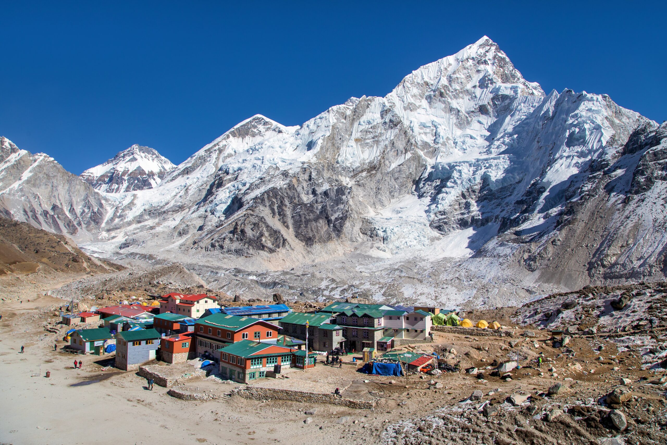
Do not let a beautiful photo choose your difficulty grade.
A hut bed does not remove the risk of storms. A waymarked route may still cross exposed terrain. And a high-elevation pass can demand an acclimatization plan even when no technical climbing is involved.
For a first trip, invest in sound navigation, a flexible route schedule, and enough fitness for the descent after your hardest day—not just the climb.
High routes FAQ.
The distinctions that most often change a traveler’s choice.
What counts as a high route?
A multi-day journey that links mountain passes, high valleys or ridge systems while spending much of the trip in high country. Today the term covers hut treks, circuits and technical traverses, so the route’s specific terrain matters more than its label.
Which is the best first high route?
For a fit hiker new to multi-day mountain travel, Tour du Mont Blanc and the standard hiking versions of Alta Via 1 are strong places to start. Both still require conditioning and early accommodation planning.
Is Walker’s Haute Route the same as the glaciated Haute Route?
No. Walker’s Haute Route is a strenuous trekking itinerary between Chamonix and Zermatt. The original glaciated Haute Route is a mountaineering traverse involving glacier travel and often ropes and crampons.
Do I need to reserve mountain huts?
Often yes. Popular Alpine refuges and Icelandic huts can fill months in advance. Rules differ by country and route, and some wilderness trails require tent or permit bookings instead.
How much altitude experience do I need for Nepal?
Routes such as Annapurna Circuit or Everest Three Passes need sensible acclimatization and an itinerary that allows for illness, weather delays and safe descent. Fitness alone does not prevent altitude illness.
Can I do these routes independently?
Some maintained hut treks work well self-guided for prepared hikers. Glaciated traverses, exposed technical ridges and remote off-trail routes call for specialized skills and may warrant qualified local guiding.
Keep planning the route that fits.
Choose a deeper guide, compare another route family, or build the logistical foundation before you book.
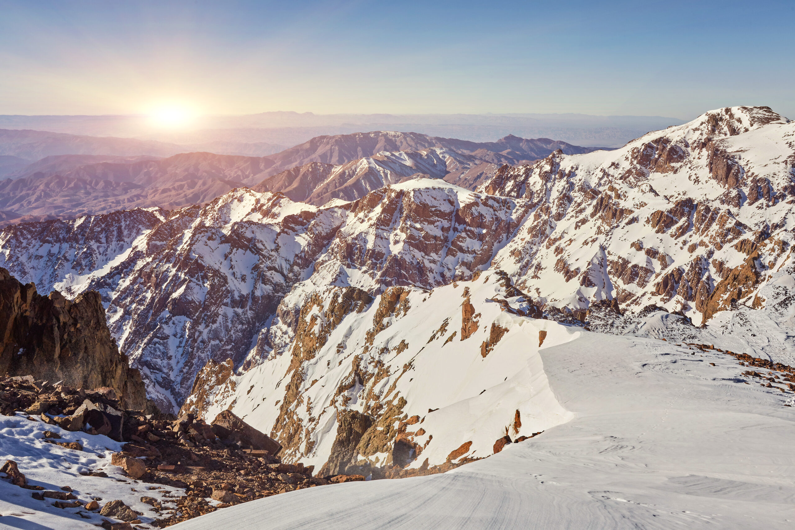
There is more high country to explore.
Not every memorable mountain journey is a famous European hut trek or a Himalayan circuit. The High Atlas, New Zealand’s Southern Alps and many lesser-known ranges offer very different ways to build a multi-day mountain trip.
If you’re not yet sure which landscape or style suits you, begin with the regional index, then choose one detailed route to investigate.
Explore the world’s hiking regionsEditorial method: This is an independent research overview. Durations, distances and seasons vary by route version and conditions. The editorial team’s original article was published July 20, 2026; this page is redesigned in Template 8.2. A published route description is not a current weather forecast, permit notice or substitute for qualified instruction. Check official trail and park authorities before departure. Display advertising may be placed by the site’s existing ad platform; any separately added affiliate offers must carry their own disclosure.
Was this helpful?
Global Summit Guide is an independent mountaineering resource founded in 2026. The team combines first-hand trekking and climbing experience with in-depth research and professional health and nutrition review to help climbers choose objectives, prepare properly, and stay safe.
Health, altitude, and nutrition content is reviewed by Taylor Ludlow (Registered Nurse) and Brigg Hoopes (Nutritionist).
What We Don't Know Yet
Mountain information changes quickly. This box explains the limits of what this page can responsibly promise.
- Route conditions, trailhead access, crevasse exposure, stream crossings, and rescue access may vary from published planning guidance.
- Visa, passport, vaccination, border, insurance, and local transportation rules may change before your trip.
- Route conditions, snowpack, closures, and weather can change quickly after this page is updated.
- Permit rules, fees, quotas, and reservation windows may change between review cycles.
- Operator availability, pricing, guide ratios, and cancellation terms can change by season.
Verify current conditions with official land managers, guide services, local forecasts, and current route reports before booking or climbing.
Mountaineering, rock and ice climbing, glacier travel, and high-altitude activity are inherently dangerous and can result in serious injury or death. The information on Global Summit Guide is provided for general informational and educational purposes only and is not a substitute for professional instruction, qualified guiding, proper equipment, or your own judgment and experience.
Route conditions, weather, snowpack, permits, regulations, and hazards change constantly and may differ from what is described here. Details may be incomplete, out of date, or contain errors. Always verify current information with local authorities, certified guides, and official sources before making any decision in the mountains.
Nothing on this site is medical, legal, or financial advice. Our fitness, acclimatization, altitude, and nutrition content is general in nature; consult a qualified physician before beginning any strenuous exercise program or exposing yourself to high altitude.
You are solely responsible for your own safety and decisions. To the fullest extent permitted by law, Global Summit Guide and its team accept no liability for any loss, injury, damage, or expense arising from use of, or reliance on, this information. By using this site you acknowledge these risks and accept these terms.
Some links on this site may be affiliate links. If you buy through them we may earn a small commission at no extra cost to you; this never affects our recommendations.
Global Summit Guide recommendation path
Next Best Mountain to Research
Use these recommendations to continue the right planning path instead of stopping on one page.
Use current permit, weather, route, and operator information before booking or climbing.
Explore Travel Options for Your Destination
Once your mountain, dates and route are taking shape, compare flights, hotels and other travel options that fit the trip.
Affiliate link. We may earn a commission at no additional cost to you.