
Last updated October 4, 2026
Annapurna I Routes: North Face vs Dutch Rib vs South Face
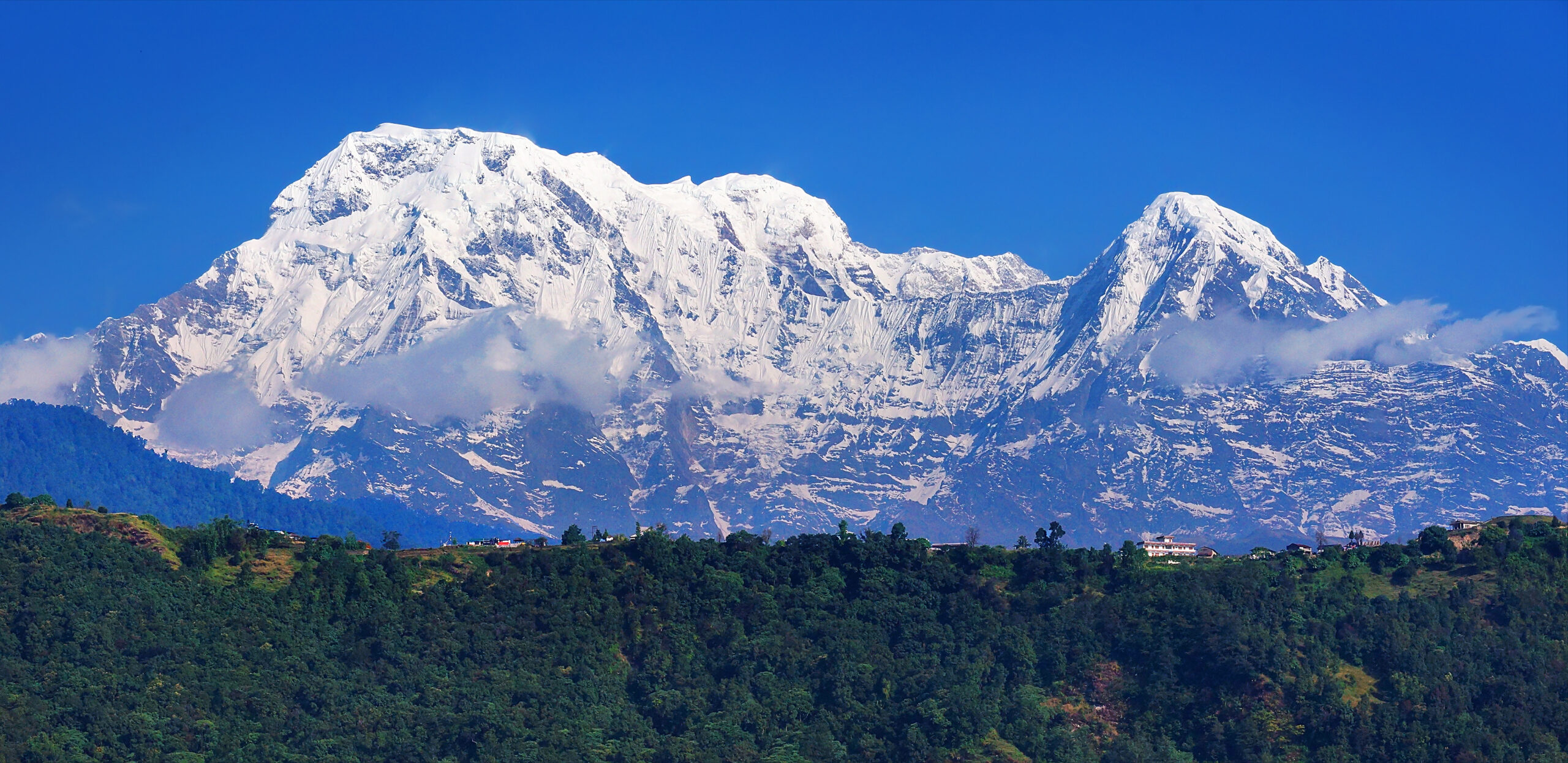
Annapurna I does not have three equally realistic commercial routes. The modern supported expedition framework is concentrated on the north side; the Dutch Rib is an important historical north-face alternative, while the South Face belongs to a different category of extreme Himalayan alpinism.
For Modern Expeditions, the North Face Is the Practical Choice.
If you are researching an actual commercial Annapurna I expedition, start with the North Face. Current large expedition operators structure their supported climbs on Annapurna’s northern side, using a multi-camp system, fixed ropes and Sherpa support.
The Dutch Rib is historically important because the 1977 Dutch expedition established a rib on the north face designed in part to reduce exposure to some of the dangerous terrain encountered by earlier parties. It is better understood as a historical north-face variation than as a separate mainstream commercial product.
The South Face is different again: an enormous technical wall associated with routes such as the 1970 British line and later cutting-edge alpine ascents. It is not a normal alternative for someone shopping commercial Annapurna expeditions.
North Face vs Dutch Rib vs South Face
The useful comparison is not simply which line is “hardest.” It is which route category the climber is actually considering.
| Factor | North Face | Dutch Rib | South Face |
|---|---|---|---|
| Modern role | Commercial standard | Historical / alternative north-face line | Elite alpinism |
| Typical style | Supported expedition, fixed camps and ropes | Expedition-style historically; rarely a distinct commercial product today | Technical face climbing, often highly committing |
| Technical demand | Very high 8,000m mountaineering | Very high 8,000m mountaineering | Extreme technical Himalayan climbing |
| Avalanche exposure | Major objective hazard | Historically chosen partly to improve line selection on the north face | Major avalanche, spindrift and face hazard |
| Fixed-rope infrastructure | Normal on supported expeditions | Route-dependent / historical context | Not comparable to a standard commercial fixed-line system |
| Best suited to | Experienced 8,000m expedition climbers | Climbers studying route history or alternative north-face strategy | Elite technical Himalayan alpinists |
| Commercial relevance | High | Low | Very low |
Choosing Annapurna’s “Standard Route” Does Not Make Annapurna Standard.
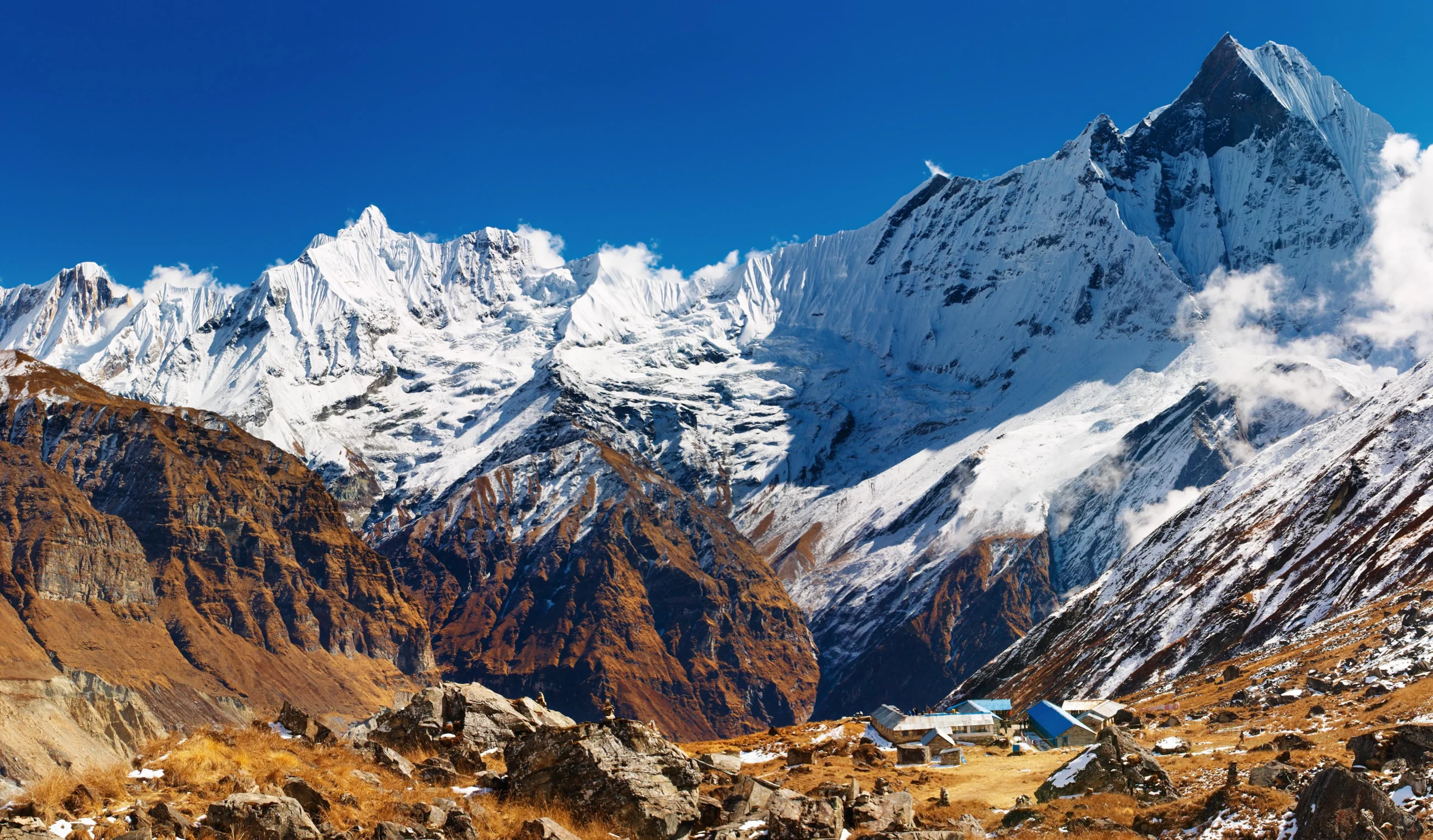
The North Face reduces the decision from extreme exploratory alpinism to a structured expedition framework. It does not remove serac hazard, avalanche exposure, high-altitude technical climbing or the consequences of a mistake above 7,000 meters.
North Face
This is the route family most relevant to climbers comparing current commercial Annapurna I expeditions.
Why operators use the north side
Current supported expeditions can organize a conventional high-altitude camp system from base camp through multiple higher camps, with route fixing, rotations and high-altitude support.
A current Seven Summit Treks Annapurna program lists the North Face and structures the climb around Base Camp, Camps I–IV and a final summit push. That makes this the most relevant model for a climber researching how commercial Annapurna expeditions work.
Dutch Rib
Important to Annapurna route history, but not a peer mainstream product to the modern North Face expedition.
The 1977 Dutch line
The Dutch Rib was established by a Royal Dutch Alpine Club expedition in 1977. Their account described a new line on the north face following a prominent rib to the east of the Sickle gully.
The key historical idea was route choice: rather than simply repeating the original French terrain, the team deliberately selected a rib and camp positions intended to reduce some avalanche exposure.
That makes the Dutch Rib extremely relevant when explaining how Annapurna route selection evolved—but less useful as a standalone “which operator package should I buy?” choice in 2026.
This Is Not the “Harder Commercial Option.”
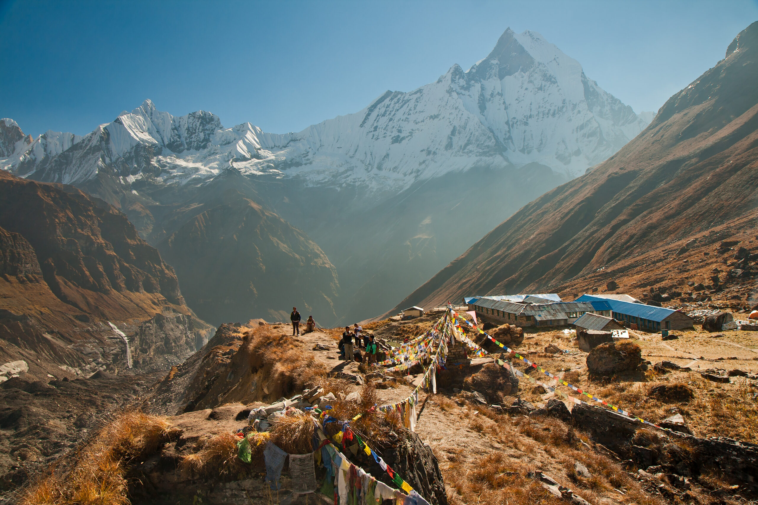
Annapurna’s South Face is one of Himalayan mountaineering’s great technical walls. It should be compared with other cutting-edge alpine faces—not treated as a premium version of a normal supported expedition.
South Face
A vast technical wall with multiple historic lines rather than one single “South Face commercial route.”
Why the South Face is fundamentally different
The British expedition led by Chris Bonington completed the first route on Annapurna’s South Face in 1970, with Dougal Haston and Don Whillans reaching the summit. The ascent became a landmark in the development of difficult big-wall climbing on 8,000-meter peaks.
Subsequent climbers established additional major lines. In 2013 Ueli Steck climbed a new route through the huge face in an exceptionally fast solo ascent, demonstrating the level of commitment associated with modern South Face alpinism.
Avalanche Exposure Is a Route-Selection Problem, Not Just a Mountain Statistic
Annapurna’s reputation for avalanche hazard is not distributed evenly across every slope or every season.
Route-finding still matters
Supported infrastructure reduces uncertainty about where the expedition intends to go, but it does not eliminate avalanche or serac exposure.
Historical attempt to improve the line
The rib’s historical importance comes partly from selecting terrain intended to avoid some of the more avalanche-threatened areas of earlier north-face climbing.
Wall-scale exposure
South Face lines can combine spindrift, avalanche runnels, technical rock and ice, and very limited retreat options high on the face.
For the mountain-wide risk picture rather than route choice alone, use Difficulty & Safety on Annapurna I .
The Technical Gap Between the North and South Sides Is Enormous
All Annapurna I routes demand advanced Himalayan experience. The distinction is whether the expedition follows prepared high-altitude infrastructure or commits to sustained technical face climbing.
Advanced crampon movement, fixed-rope systems, mixed snow-and-ice terrain, high-altitude judgment and familiarity with expedition climbing.
Similar high-altitude north-face environment but with historical line-specific technical terrain and a far smaller modern infrastructure footprint.
Sustained technical rock, ice or mixed climbing on a huge alpine face at extreme altitude, often with minimal margin for retreat.
Three Route Names—Three Different Climbing Philosophies
The most important difference is not a grade printed in a table. It is how much infrastructure exists between the climber and the mountain.
Supported expedition
Fixed ropes, staged camps, repeated rotations, Sherpa support and a coordinated summit window.
Historical expedition route
Originally climbed with a fixed-rope expedition strategy, but without today’s standardized commercial framework.
Technical alpinism
More independent climbing judgment, much greater technical commitment and route choices that can determine whether retreat remains possible.
The Modern Commercial Product Is the North Face Expedition
That is the crucial distinction the old version of this page did not make strongly enough.
Current large Nepal operators advertise Annapurna I as a supported North Face expedition, with several weeks on the mountain, multiple high camps, route fixing, Sherpa support and planned acclimatization rotations.
Compare the actual companies separately on the Annapurna I Expedition Companies page .
Before comparing operator packages, use the Prepare to Climb framework to determine whether your current gap is technical skill, altitude experience or expedition readiness.
Why Annapurna’s Routes Matter Beyond This One Mountain
Annapurna I has repeatedly marked changes in how climbers approached the world’s highest peaks.
Maurice Herzog and Louis Lachenal reached the summit on the French expedition, making Annapurna I the first 8,000-meter mountain ever climbed.
The British South Face expedition showed that climbers could deliberately target an enormous technical wall on an 8,000-meter mountain rather than simply seek the easiest route to the summit.
The Dutch expedition established the rib on the north face, illustrating how line choice could be modified in response to objective hazards.
Ueli Steck’s solo ascent on the South Face became one of the defining modern performances in high-altitude alpinism.
For the story of the mountain’s original breakthrough, read Annapurna 1950: First Ascent of an 8,000er .
Which Annapurna I Route Should You Choose?
For almost every commercially supported climber, this question has a much simpler answer than the old page suggested.
You are evaluating a supported Annapurna I expedition and have the prerequisite high-altitude and technical experience for an 8,000-meter climb.
You are researching alternative north-face history, avalanche-aware line selection or the evolution of Annapurna climbing rather than looking for a mainstream commercial departure.
You are already operating at the level of elite Himalayan technical alpinism. It should not be treated as a normal step up from a guided North Face expedition.
Use the Mountain Readiness Assessment before treating operator availability as proof of personal readiness.
Annapurna I Routes FAQ
The most important route questions answered without flattening very different climbing styles into one difficulty chart.
What is the standard route on Annapurna I?
Modern supported commercial expeditions are primarily organized around the north side of Annapurna I. Current operators advertise North Face programs with staged camps, fixed ropes and high-altitude Sherpa support.
What is the Dutch Rib on Annapurna?
The Dutch Rib is a north-face line established by a Dutch expedition in 1977. It followed a prominent rib east of the Sickle gully and is historically significant for its alternative line selection on the north side.
Is the Dutch Rib safer than the normal North Face route?
It was historically selected in part to reduce exposure to some avalanche-threatened terrain, but it would be misleading to call any Annapurna I route safe. Conditions, snow loading, serac behavior and route maintenance change from expedition to expedition.
How difficult is Annapurna’s South Face?
The South Face is an extreme technical Himalayan wall roughly 2,500–3,000 meters high, depending on the line and how the face is measured. Its major routes require elite technical ability at extreme altitude.
Can you book a commercial South Face expedition?
It is not normally offered as a standard supported alternative comparable to modern North Face commercial expeditions. South Face attempts belong to a much more specialized form of Himalayan alpinism.
Which Annapurna route has the most expedition infrastructure?
The North Face has the clearest modern commercial expedition structure, including fixed-route support, staged high camps and Sherpa teams on current guided programs.
Which Annapurna I route is hardest?
South Face lines are generally in a much higher technical category than the supported North Face expedition route. However, exact difficulty varies by line, conditions and climbing style, so “South Face” should not be treated as one single route grade.
Is Annapurna I a good first 8,000-meter mountain?
It is generally regarded as an objective for highly experienced climbers because route difficulty, avalanche exposure, altitude and limited margins for error create a very serious expedition environment.
Go From Route Comparison to Expedition Planning
Keep this page focused on choosing and understanding the routes. Use the child guides for safety, weather, permits, acclimatization and operators.
For a Supported Annapurna Expedition, Start With the North Face.
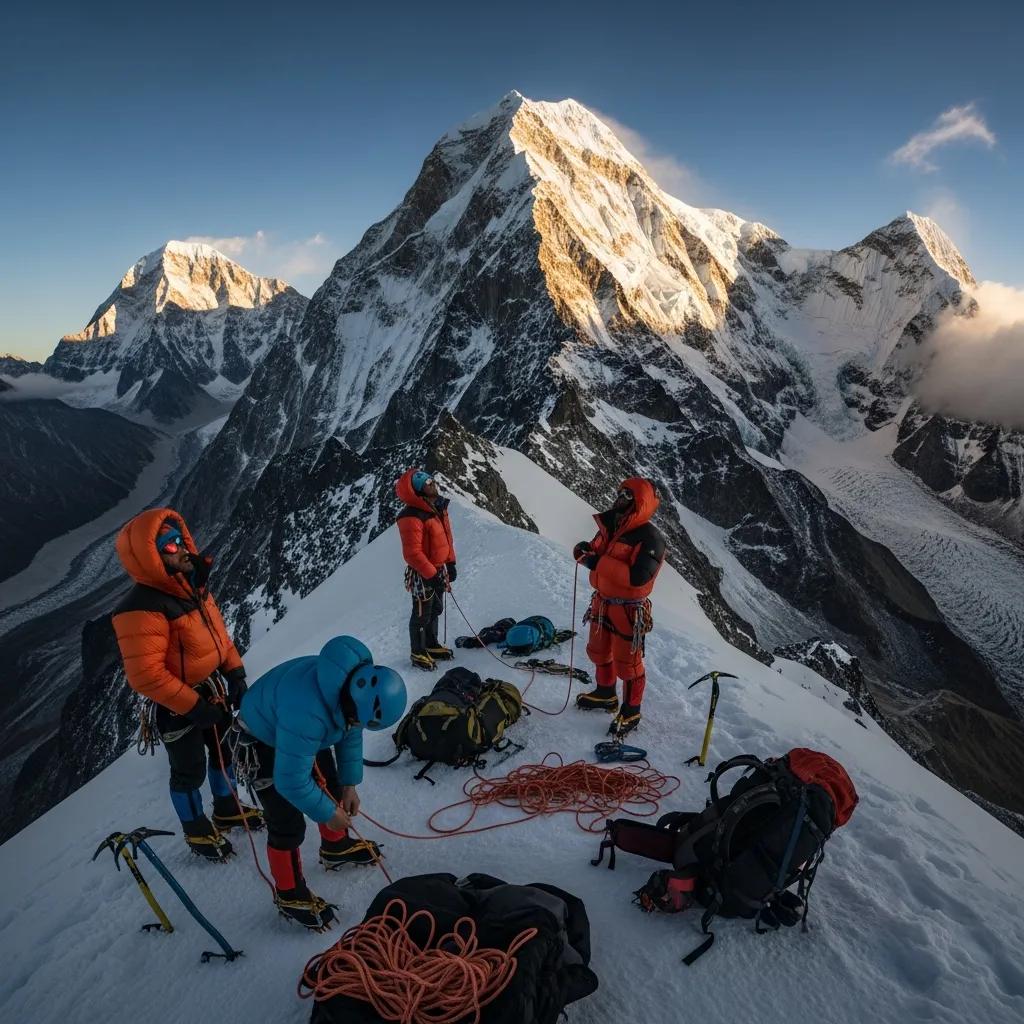
Study the Dutch Rib to understand how north-face route strategy evolved. Study the South Face to understand Annapurna’s place in the history of extreme alpinism. But if you are evaluating a real commercial climb, compare current North Face operators, your own readiness and the live mountain conditions first.
Annapurna Routes & the Full 8000er Picture
Route choice is one piece of Annapurna, the deadliest 8000er. See the full guide, its death rate and the wider set below.
Was this helpful?
🏔Related peaks nearby
🧭Explore & compare
Global Summit Guide is an independent mountaineering resource founded in 2026. The team combines first-hand trekking and climbing experience with in-depth research and professional health and nutrition review to help climbers choose objectives, prepare properly, and stay safe.
Health, altitude, and nutrition content is reviewed by Taylor Ludlow (Registered Nurse) and Brigg Hoopes (Nutritionist).
What We Don't Know Yet
Mountain information changes quickly. This box explains the limits of what this page can responsibly promise.
- Route conditions, trailhead access, crevasse exposure, stream crossings, and rescue access may vary from published planning guidance.
- Comparisons simplify complex decisions; the better mountain depends on current conditions, skills, timing, budget, and risk tolerance.
- Visa, passport, vaccination, border, insurance, and local transportation rules may change before your trip.
Verify current conditions with official land managers, guide services, local forecasts, and current route reports before booking or climbing.
Mountaineering, rock and ice climbing, glacier travel, and high-altitude activity are inherently dangerous and can result in serious injury or death. The information on Global Summit Guide is provided for general informational and educational purposes only and is not a substitute for professional instruction, qualified guiding, proper equipment, or your own judgment and experience.
Route conditions, weather, snowpack, permits, regulations, and hazards change constantly and may differ from what is described here. Details may be incomplete, out of date, or contain errors. Always verify current information with local authorities, certified guides, and official sources before making any decision in the mountains.
Nothing on this site is medical, legal, or financial advice. Our fitness, acclimatization, altitude, and nutrition content is general in nature; consult a qualified physician before beginning any strenuous exercise program or exposing yourself to high altitude.
You are solely responsible for your own safety and decisions. To the fullest extent permitted by law, Global Summit Guide and its team accept no liability for any loss, injury, damage, or expense arising from use of, or reliance on, this information. By using this site you acknowledge these risks and accept these terms.
Some links on this site may be affiliate links. If you buy through them we may earn a small commission at no extra cost to you; this never affects our recommendations.
Global Summit Guide recommendation path
Next Best Mountain to Research
Use these recommendations to continue the right planning path instead of stopping on one page.
Use current permit, weather, route, and operator information before booking or climbing.
Explore Travel Options for Your Destination
Once your mountain, dates and route are taking shape, compare flights, hotels and other travel options that fit the trip.
Affiliate link. We may earn a commission at no additional cost to you.