
Last updated July 20, 2026
Mountain Navigation: maps, GPS, whiteouts and emergency communication
Navigation is the skill that keeps every other mountain skill useful. Lose your position in cloud, fading light, or featureless snow and a straightforward day can turn serious in minutes. This is the complete system: how the map, compass, GPS, and satellite communication fit together, how to keep moving safely when visibility disappears, and how to make sure that if something goes wrong, the right people know where to look for you.
Navigate in layers, and never trust a single device.
Reliable mountain navigation is built from four layers of redundancy: a map and compass that need no power, a GPS or phone app for speed and precision, a satellite messenger or PLB to call for help beyond phone signal, and an emergency plan left with someone who will act if you do not return. Each layer covers the failure of the one before it. The most dangerous setup in the mountains is a single phone with no backup and no plan.
Map & compass
No battery, no signal, always works. The base layer.
GPS & apps
Fast, precise position. Depends on power and cold.
Satellite comms
Messenger or PLB to reach help beyond signal.
Emergency plan
Someone who will act if you do not return.
On a clear day with a good trail, navigation feels optional. The mountains do not stay that way. Cloud drops onto a ridge, a snowfield hides the path, a descent gully looks like three other descent gullies, or the light fails an hour later than planned. In those moments the difference between a manageable day and a rescue is whether you have been navigating all along or only start when you are already unsure. Most navigation emergencies build slowly: a missed junction, a wrong drainage followed downhill, growing doubt suppressed by the wish to keep moving. The climbers who stay found are the ones who track their position continuously, carry tools that work when the weather and the batteries do not, and stop the moment doubt appears rather than pushing deeper into it.
Think of navigation as a stack rather than a gadget. The base layer is the map and compass, because they never lose power or signal. On top of that sits GPS, which is faster and more precise but depends on batteries and cold-tolerant electronics. Above that is satellite communication, for when you need help and are beyond phone coverage. And wrapping all of it is the emergency plan you leave behind, which is what turns a missed check-in into a search in the right place. The point of the stack is redundancy: when one layer fails, and in the mountains something always eventually fails, the next one is already there. Build your navigation around that idea and most single-point failures stop being emergencies.
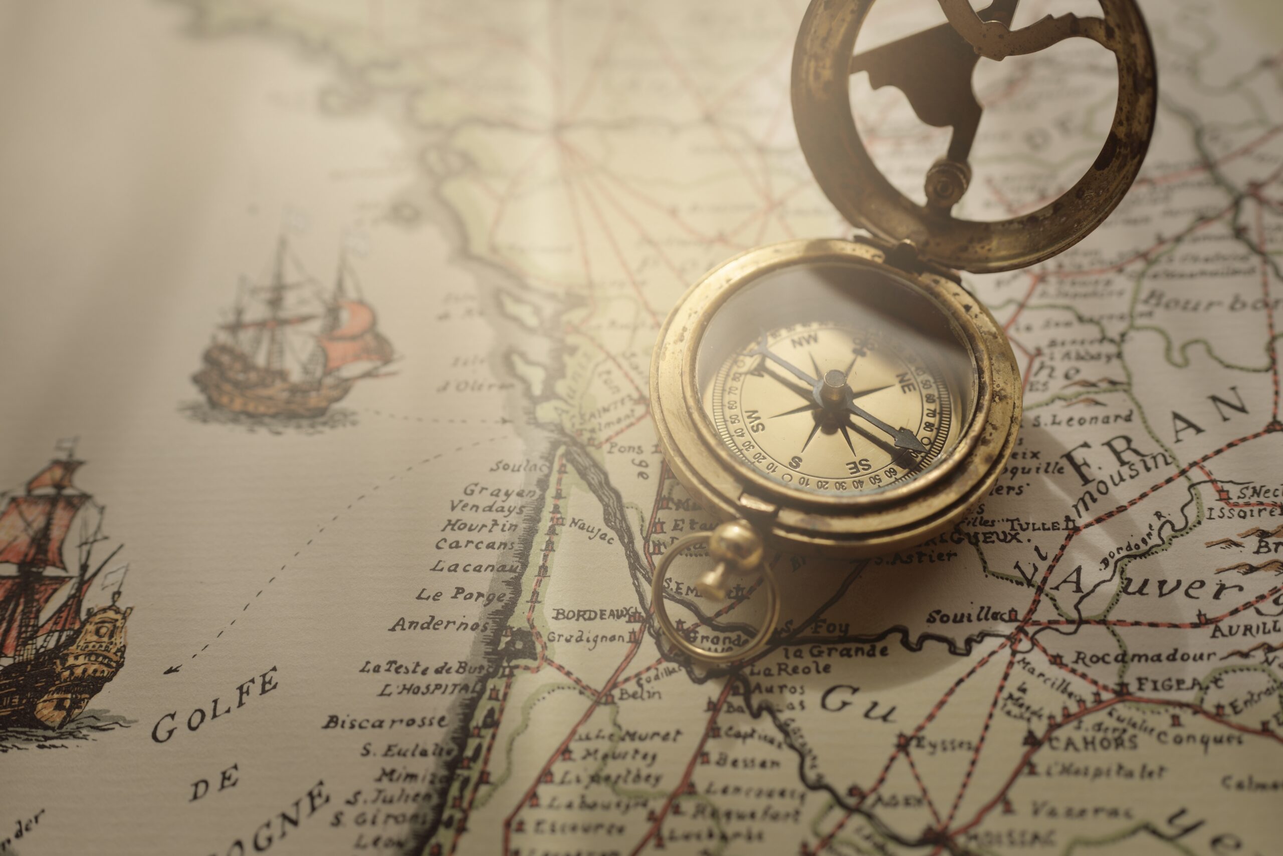
A topographic map and a baseplate compass are the foundation because they are immune to the failures that stop everything else. The core skills are reading terrain from contour lines so the map matches the ground in front of you, taking and following a bearing, and orienting the map to your surroundings. With those, you can locate yourself, choose a line, and hold a direction even in poor visibility. The map also lets you plan around hazard: identifying avalanche-prone slopes, cliff bands, and safe descent options before you are standing on them. This is the layer to learn first and practice most, because it is the one that never lets you down. Our guide to reading a topographic map covers contours, scale, and terrain association step by step.
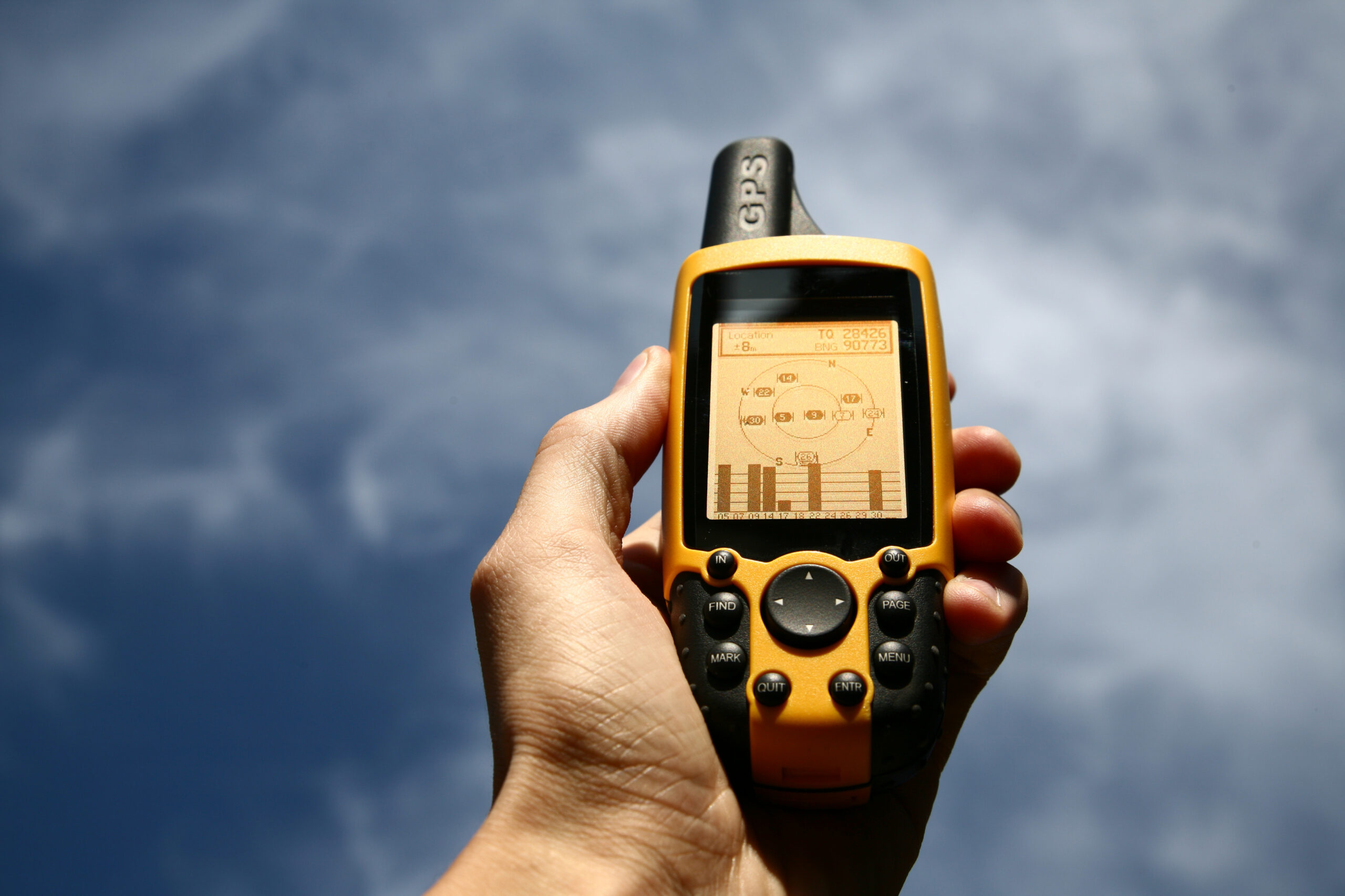
A handheld GPS unit or a phone app gives you a precise position in seconds, records your track so you can retrace it, and makes route-following far easier in complex terrain. Used well, it is a real safety tool. The trap is treating it as the whole system. Batteries drain, and they drain much faster in cold; screens can become unresponsive in extreme temperatures; phones break, freeze, or run out of charge at the worst moment. Carry spare power, keep devices warm inside a layer, download offline maps before you lose signal, and never let the electronic layer be your only one. A GPS that confirms what your map already told you is a strong position; a GPS that is the only thing standing between you and being lost is a fragile one.
A whiteout, where snow and cloud erase the horizon and every visual reference, is the sternest test of navigation. Without landmarks you cannot navigate by eye at all, so you fall back on the compass, on pacing and timing to measure distance, and on the terrain itself, using handrails to follow and catching features to tell you when to stop. It is a deliberate, slow, disciplined process, and it is a specific skill worth practicing before you need it, because a whiteout is the wrong place to learn it. This is where the base layer proves its worth: in a true whiteout the map, compass, pacing, and a cool head are what get a team down. Our full guide to whiteout navigation walks through the technique.
The most dangerous instinct in low visibility is to keep moving to “get out of it.” Movement without certainty is how teams walk off cliffs or into avalanche terrain. If you lose your position and cannot re-establish it, the safest action is often to stop, shelter, and wait for visibility or daylight rather than gamble on a guess. A cold wait is survivable; a wrong direction in a whiteout may not be.
Deep in the mountains there is usually no phone coverage, so a dedicated satellite device is what lets you call for help. There are two main types. A personal locator beacon (PLB) sends a one-way SOS to government search-and-rescue and needs no subscription, making it a simple, reliable, emergency-only tool. A satellite messenger, such as an inReach, adds two-way text messaging and an SOS on a subscription, so you can describe your situation, share your position, and receive confirmation that help is coming. Two-way communication is valuable in a drawn-out emergency, while a PLB is a rugged last resort. Either is far better than nothing, and neither replaces the navigation that keeps you out of trouble in the first place. Our guide to the best satellite communicators compares the current options for climbers and remote hikers.
All the devices in the world do not help if no one knows to come looking. Before you leave, give a trusted person a clear trip plan: where you are going, your intended route and objective, when you expect to be back, and exactly what to do and who to call if you do not check in by a set time. Be specific about your turnaround time and your check-in time, because vague plans produce slow, misdirected searches. This one habit costs nothing and does more than any gadget to turn an overdue climber into a rescued one. Our overdue-hiker plan lays out exactly what to write down and hand over.
Before you leave
- Study the route on a topographic map; note key junctions, the descent, and the escape options.
- Pack a paper map and compass, and know how to use them without the electronics.
- Download offline maps to your phone or GPS; charge every device and pack a power bank.
- Carry a satellite messenger or PLB for terrain beyond phone signal.
- Set a turnaround time based on daylight and conditions, and commit to it.
- Leave a detailed trip plan and check-in time with a trusted person.
- Check the mountain weather forecast and plan for visibility loss, not just the best case.
What is mountain navigation?
Knowing where you are and finding a safe route using a map, compass, terrain reading, and digital tools, especially when the trail, visibility, or daylight disappears. It is a layered system: map and compass as the base, GPS for precision, satellite communication for emergencies, and a trip plan left with someone who will act if you do not return.
Do I still need a map and compass if I have GPS?
Yes. Batteries die and screens fail in cold; apps crash and signal is blocked by terrain. A paper map and baseplate compass need no power or signal, so they remain the essential backup. The core principle is redundancy: never depend on a single tool.
How do you navigate in a whiteout?
By compass bearing combined with pacing and timing, moving deliberately between known points and using handrails and catching features. It is a specific, practiced skill and the place most visibility accidents happen. See our whiteout navigation guide.
PLB or satellite messenger?
A PLB sends a one-way SOS to search-and-rescue with no subscription. A satellite messenger adds two-way messaging and an SOS on a subscription, letting you share details and get confirmation. Our satellite communicator guide compares them.
What should I do before a trip so someone can find me?
Leave a detailed trip plan with a trusted person: route, objective, timing, turnaround, and what to do if you do not check in. It is the cheapest safety measure there is. Our overdue-hiker plan explains what to write down.
What is the most common navigation mistake?
Over-relying on a phone with no backup, and continuing when unsure instead of stopping. Navigate continuously rather than only when lost, carry a non-electronic backup, and re-establish your position the moment doubt appears.
📋 How this guide is built
This pillar reflects established mountaineering navigation practice and the Global Summit Guide team’s own experience navigating glaciated and high-altitude terrain, including Kilimanjaro, Pico de Orizaba, Iztaccihuatl, Rainier-class Cascade volcanoes, and Utah peaks. It is written to teach the system and to point you to detailed, practiced technique in each linked guide, not to replace hands-on instruction. Reviewed for safety by Dawson Ludlow, Climbing & Mountaineering Lead and Wilderness First Aid certified. We recommend learning map, compass, and whiteout skills with a qualified instructor before relying on them in serious terrain.
About Global Summit Guide
Global Summit Guide is an independent mountaineering and hiking resource. This page is the pillar of our mountain-navigation cluster in the Skills & Safety section, linking to detailed guides on topographic maps, whiteout navigation, satellite communication, and emergency planning. Health and safety content is reviewed by qualified team members, including Dawson Ludlow and Taylor Ludlow (Registered Nurse). Read more about the team and mission.
Was this helpful?
Global Summit Guide is an independent mountaineering resource founded in 2026. The team combines first-hand trekking and climbing experience with in-depth research and professional health and nutrition review to help climbers choose objectives, prepare properly, and stay safe.
Health, altitude, and nutrition content is reviewed by Taylor Ludlow (Registered Nurse) and Brigg Hoopes (Nutritionist).
What We Don't Know Yet
Mountain information changes quickly. This box explains the limits of what this page can responsibly promise.
- Visa, passport, vaccination, border, insurance, and local transportation rules may change before your trip.
- Route conditions, snowpack, closures, and weather can change quickly after this page is updated.
- Permit rules, fees, quotas, and reservation windows may change between review cycles.
- Operator availability, pricing, guide ratios, and cancellation terms can change by season.
- Your fitness, altitude response, risk tolerance, and experience level may change what is safe or realistic.
Verify current conditions with official land managers, guide services, local forecasts, and current route reports before booking or climbing.
Mountaineering, rock and ice climbing, glacier travel, and high-altitude activity are inherently dangerous and can result in serious injury or death. The information on Global Summit Guide is provided for general informational and educational purposes only and is not a substitute for professional instruction, qualified guiding, proper equipment, or your own judgment and experience.
Route conditions, weather, snowpack, permits, regulations, and hazards change constantly and may differ from what is described here. Details may be incomplete, out of date, or contain errors. Always verify current information with local authorities, certified guides, and official sources before making any decision in the mountains.
Nothing on this site is medical, legal, or financial advice. Our fitness, acclimatization, altitude, and nutrition content is general in nature; consult a qualified physician before beginning any strenuous exercise program or exposing yourself to high altitude.
You are solely responsible for your own safety and decisions. To the fullest extent permitted by law, Global Summit Guide and its team accept no liability for any loss, injury, damage, or expense arising from use of, or reliance on, this information. By using this site you acknowledge these risks and accept these terms.
Some links on this site may be affiliate links. If you buy through them we may earn a small commission at no extra cost to you; this never affects our recommendations.
Global Summit Guide recommendation path
Next Best Mountain to Research
Use these recommendations to continue the right planning path instead of stopping on one page.
Use current permit, weather, route, and operator information before booking or climbing.