
Last updated October 3, 2026

Everest vs Makalu: Higher Altitude or Harder Upper Climbing?
Everest and Makalu stand only about 20 kilometres apart, but their standard expeditions feel remarkably different. Everest is higher, more crowded and supported by the deepest commercial climbing infrastructure on Earth. Makalu is lower, more remote and more technically demanding high on its normal route.
Everest Is Higher. Makalu Is More Technical on the Standard Route.
Everest’s South Col route is an enormous expedition-management and altitude problem. Climbers cross the Khumbu Icefall, acclimatize through a heavily developed camp system, use supplemental oxygen on most commercial expeditions and ultimately climb to the highest point on Earth.
Makalu is approximately 364 metres lower, but its standard northwest-side route asks for more technical ability high on the mountain. After Makalu La, climbers traverse toward a steep summit pyramid where snow, ice and exposed rock continue above 8,000 metres.
The practical comparison is therefore not “higher versus lower.” Everest places the larger burden on altitude endurance, oxygen systems and expedition logistics. Makalu places a larger burden on technical climbing, self-sufficiency and execution with fewer commercial safety nets.
Everest vs Makalu at a Glance
Makalu is close enough to Everest geographically to invite comparison, but far enough apart in route character and infrastructure to demand a very different climbing résumé.
| Factor | Everest | Makalu |
|---|---|---|
| Elevation | 8,848.86 m / 29,031.7 ft | 8,485 m / 27,838 ft |
| World rank | #1 | #5 |
| Range | Mahalangur Himal | Mahalangur Himal |
| Normal Nepal route | South Col / Southeast Ridge | Northwest side via Makalu La |
| Route identity | Khumbu Icefall, Western Cwm, Lhotse Face, South Col and Southeast Ridge | Barun approach, northwest glacier, Makalu La, upper traverse and summit pyramid |
| Technicality | Serious fixed-line snow and mixed terrain, but highly standardized commercially | Greater technical demand high on the mountain |
| Altitude burden | Greater | Extreme |
| Commercial infrastructure | Very deep | Smaller and less redundant |
| Route traffic | High during favorable summit windows | Usually much lower |
| Main season | Spring | Spring · especially late April–May |
| Typical expedition | About 6–9 weeks | About 6–8 weeks |
| 2026 spring royalty | $15,000 | ~$3,000 |
| Current GSG guided cost | Published market roughly $30,000–$300,000+ | Roughly $25,000–$45,000 |
| Progression role | Major extreme-altitude expedition objective | Later-stage technical 8,000m objective |

Makalu’s Shape Explains Why Elevation Rank Undersells the Mountain.
The isolated four-sided pyramid rises sharply above its surrounding glaciers. Its standard expedition eventually reaches terrain where climbers still need solid technical movement after spending weeks above normal acclimatization limits.
Open the Makalu GuideMakalu Is Only About 20 Kilometres Southeast of Everest.
The peaks sit surprisingly close together in the Mahalangur Himal, but the normal Nepal approaches enter very different expedition corridors.
Normal Nepal route enters through the Khumbu.
Normal Nepal approach enters through the remote Barun region.
Close geographically, very different operationally.
Both rise along the greater Nepal–Tibet Himalayan frontier.

Makalu Feels More Isolated Than Its Distance From Everest Suggests.
Everest’s climbing corridor is built around villages, lodges, helicopter access and a huge seasonal expedition population. Makalu’s Barun approach produces a smaller and more isolated expedition environment.
The Standard Routes Reward Different Strengths.
Everest is highly developed but extraordinarily high. Makalu is lower but retains more serious technical climbing near its summit.
Mount Everest
Makalu

Makalu Starts With a More Remote Expedition Before the Climbing Even Begins.
The approach through the Barun region is part of Makalu’s identity. Smaller expedition traffic and a long access corridor create a different logistical problem from Everest’s established Khumbu network.
Everest and Makalu Separate Altitude Difficulty From Technical Difficulty.
Everest forces the body higher. Makalu asks the climber to perform harder movement with less commercial redundancy.
Everest
The extra ~364 metres sit entirely inside the most severe altitude environment of the expedition.
Makalu
The upper summit pyramid requires more technical snow, ice and rock skill than Everest’s standard commercial line.
Everest
Rope fixing, camps, oxygen logistics and support are more standardized and redundant.
Makalu
Fewer teams and a smaller commercial system increase the value of independent expedition competence.
Everest
Delays and summit-window congestion can become a meaningful operational risk.
Makalu
Steep upper climbing arrives when coordination and judgment are already degraded by hypoxia.
Technical High-Altitude Gear
Boots, crampons, ice tools and lighting systems should match the route and training plan. This module uses the Global Summit Guide gear catalog rather than separate hard-coded product links.
Technical High-Altitude Gear
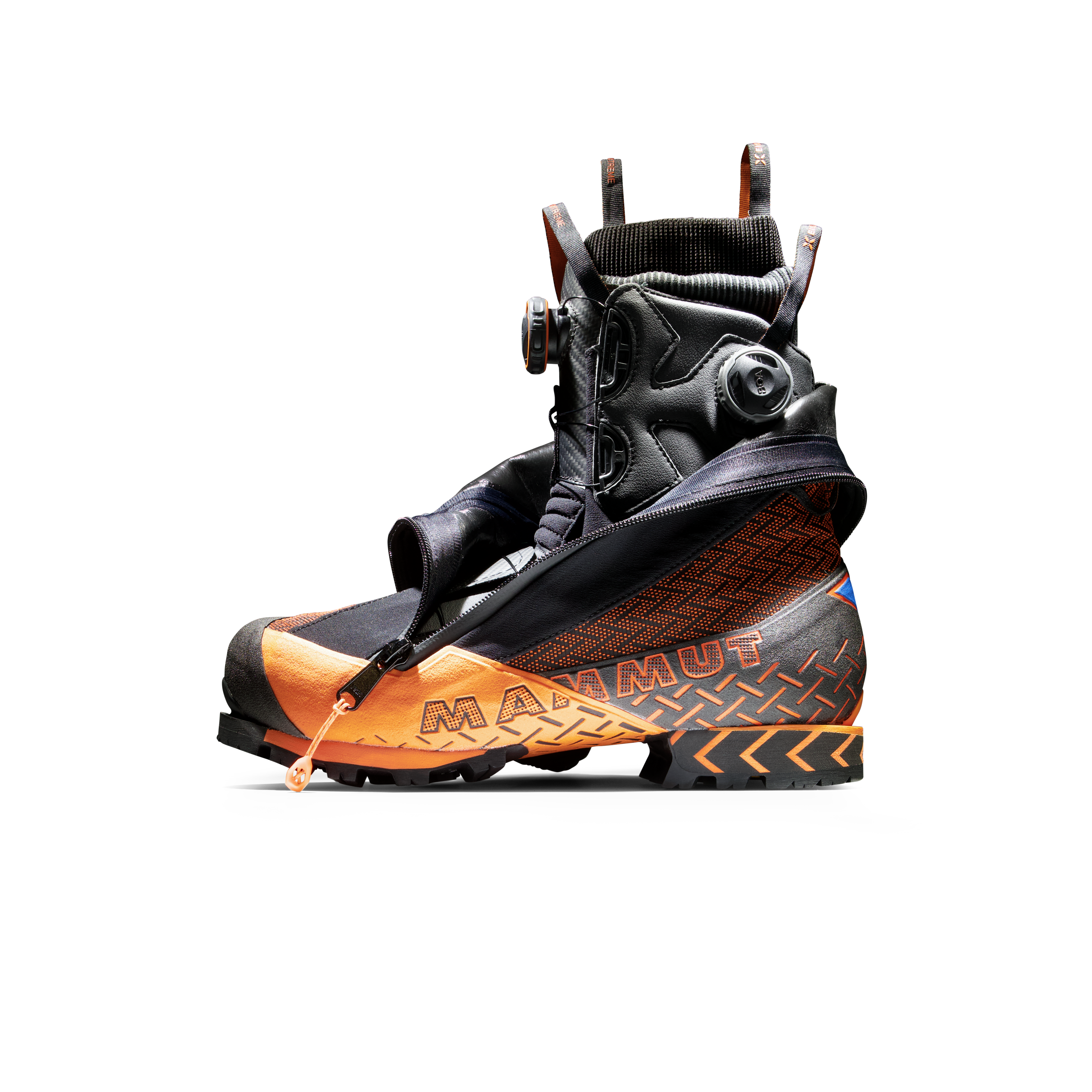
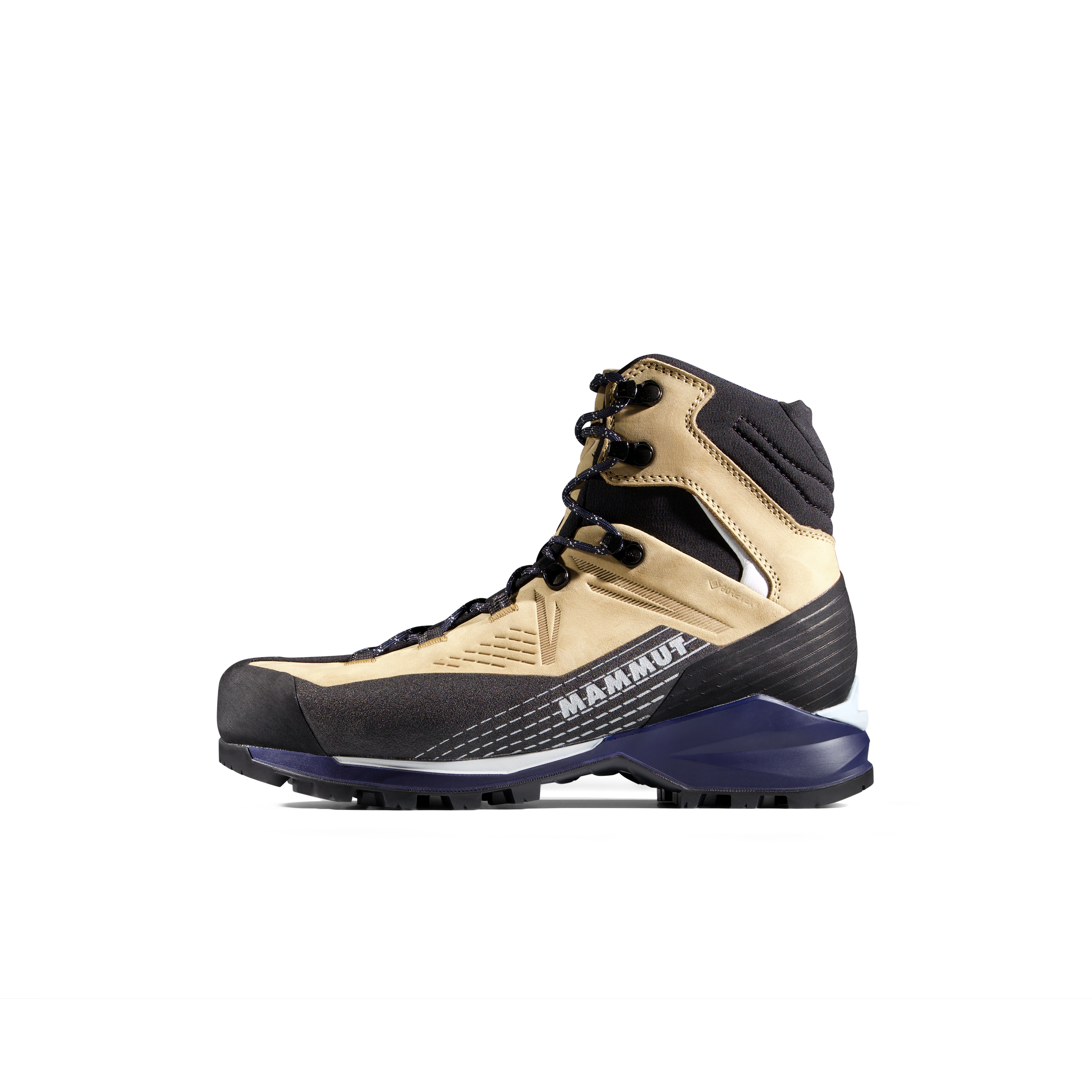
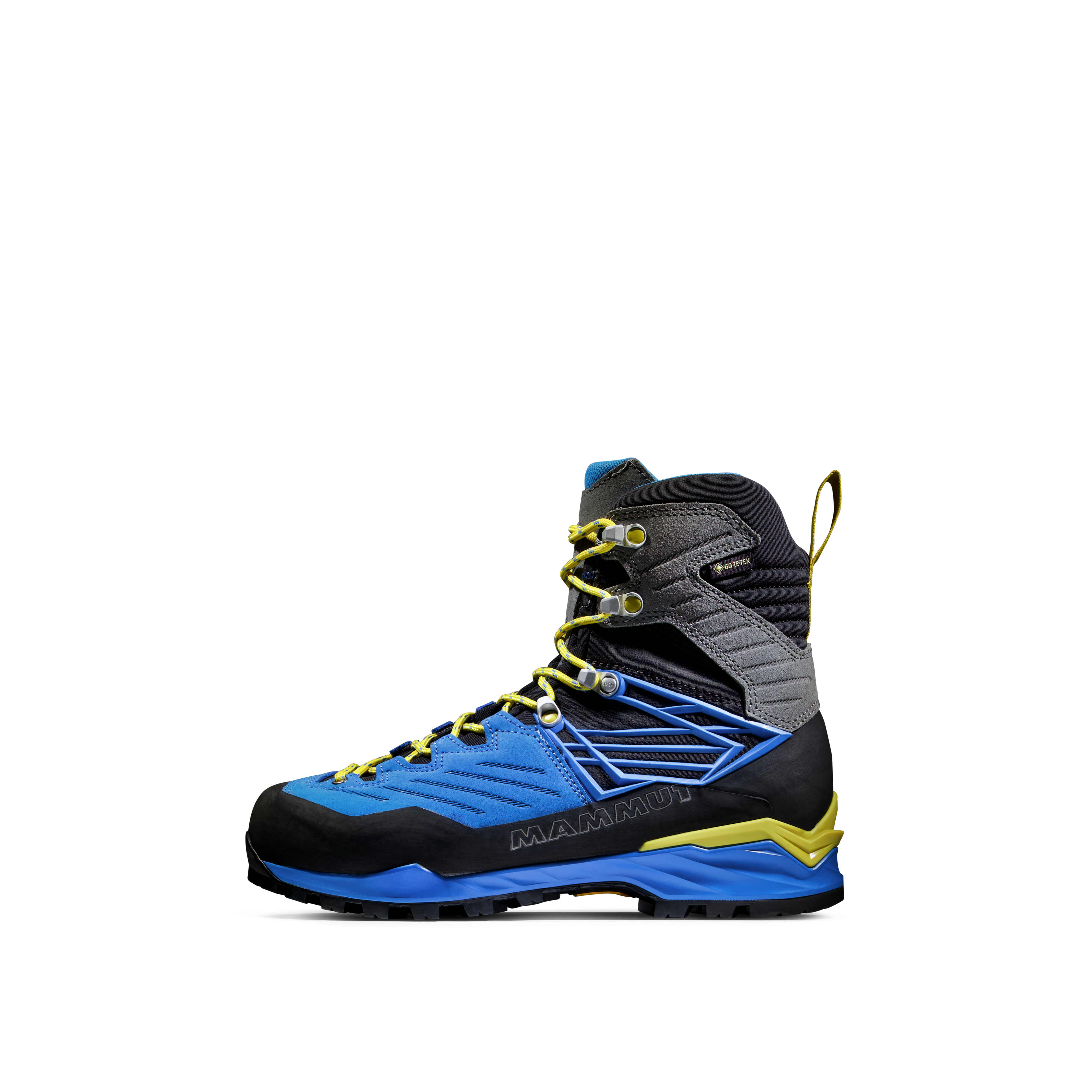
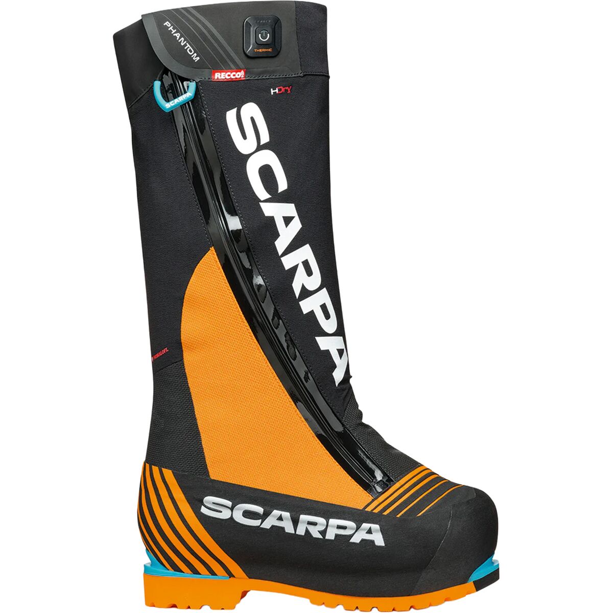
We may earn a commission if you buy through these links, at no extra cost to you. Affiliate disclosure

Everest’s Difficulty Is Amplified by the Last 364 Metres Makalu Does Not Have.
The difference looks modest against an 8,000-metre mountain, but every metre lies inside the death zone. Everest requires more oxygen, more time extremely high and a longer return from the summit.
Open the Everest GuideEverest Has More Infrastructure. Makalu Has More Isolation.
This distinction changes rescue margin, weather decisions, camp redundancy, rope fixing and how much responsibility remains with the climber.
Deep Commercial Redundancy
- Large seasonal Base Camp population.
- Established Icefall and fixed-rope systems.
- Extensive oxygen logistics.
- Large high-altitude Sherpa workforce.
- Frequent helicopter access below the high mountain.
- Multiple teams sharing forecasts and conditions.
Smaller, More Serious Expedition Environment
- Fewer commercial teams.
- Less duplicated support.
- Smaller route-fixing ecosystem.
- Greater value placed on climber self-sufficiency.
- Remote approach complicates logistics.
- Less traffic does not equal easier climbing.

Makalu Trades Everest’s Crowds for a Different Kind of Exposure.
Fewer climbers can mean fewer queues and a quieter mountain. It also means fewer teams nearby when weather, oxygen, rope fixing or high-altitude logistics begin to go wrong.
Both Are Death-Zone Mountains. Everest Extends the Exposure.
Makalu’s technical summit pyramid begins at an altitude where coordination is already compromised. Everest’s additional height increases the physiological cost further.
8,485 m / 27,838 ft
Makalu is the fifth-highest mountain on Earth. Its summit pyramid demands technical execution after the climber has already entered severe hypoxia.
8,848.86 m / 29,031.7 ft
Everest adds roughly 364 metres beyond Makalu. Those metres increase oxygen use, cold exposure, movement time and the difficulty of reversing a deteriorating situation.
Everest and Makalu Build Risk in Different Ways.
Everest combines extreme altitude with the Icefall, congestion and long summit exposure. Makalu combines extreme altitude with technical upper terrain, isolation and a smaller support network.
| Hazard | Everest | Makalu |
|---|---|---|
| Extreme altitude | Greater total exposure | Severe |
| Serac / icefall | Defining Khumbu Icefall exposure | Glacier and serac hazards vary with route conditions |
| Technical upper terrain | Fixed snow and mixed climbing | Major defining factor |
| Wind | Major summit-window constraint | Exposed pyramid can narrow usable windows |
| Crowding | Significant during compressed summit periods | Usually much lower |
| Support redundancy | High by 8,000m standards | Lower |
| Retreat | Long but heavily established route | More isolated and technically consequential |
| Decision pressure | Cost, crowding and summit-window investment | Weather, route condition and smaller support margin |

Two Giant Mountains Can Be Close on a Map and Far Apart as Expeditions.
Makalu lies near Everest geographically, yet access, climbing population, route character and upper-mountain technicality produce a fundamentally different expedition.
Makalu Is Usually Less Expensive—but It Is Not a Budget Everest.
Makalu’s lower royalty and smaller commercial market reduce headline cost. The tradeoff is not an easier mountain; it is a more technical expedition with less support redundancy.
| Budget Factor | Everest | Makalu |
|---|---|---|
| Spring royalty | $15,000 | ~$3,000 |
| Current commercial market | Roughly $30,000–$300,000+ in published products | Roughly $25,000–$45,000 for guided expeditions |
| Why Everest costs more | Everest royalty, large support systems, oxygen, premium guide products and extensive Base Camp infrastructure | Lower royalty and smaller commercial market |
| Why Makalu is not “cheap” | — | Remote approach, technical route fixing, oxygen, Sherpa support and long expedition duration |
| Common exclusions | International travel, personal technical equipment, insurance, rescue membership, gratuities, extra oxygen and contingency may sit outside the quote. | |
Both Require a Full Himalayan Expedition Window.
Makalu’s lower summit does not create a short expedition. Acclimatization, approach, rotations and summit-window waiting still occupy most of a spring season.
About 6–9 Weeks
The traditional South Side schedule includes the Khumbu trek, repeated acclimatization rotations, Base Camp recovery, summit-window waiting, South Col summit push and descent.
About 6–8 Weeks
The expedition includes remote approach logistics, acclimatization rotations, route fixing, high camps, summit-window waiting and the full return from the Barun region.
Makalu Should Not Be Chosen Simply Because It Is Lower and Cheaper.
Makalu’s lower elevation and permit can make it look like the smaller objective. The normal route says otherwise.
Your Main Challenge Is Extreme Altitude and Expedition Scale.
- You already possess a major high-altitude résumé.
- Fixed-line systems are routine.
- You have proven long summit-day endurance.
- You can manage oxygen-supported climbing.
- You understand large-team expedition systems.
- Your goal specifically includes the highest summit on Earth.
Technical 8,000m Capability Is Already Proven.
- You already have substantial 7,000m–8,000m experience.
- Steep snow and ice climbing are established skills.
- You are strong on fixed ropes without constant supervision.
- You are comfortable with smaller, more isolated expeditions.
- You can manage technical movement while severely hypoxic.
- You value a climber-focused objective over commercial scale.
Everest Experience Alone Does Not Automatically Create Makalu Readiness.
Everest can prove extraordinary altitude tolerance and expedition discipline. Makalu additionally asks for a stronger technical alpine foundation and greater comfort operating with less commercial redundancy.

Makalu Is a Mountain to Arrive Ready For—not a Mountain to Learn Technical Climbing On.
The summit pyramid arrives too high and too late in the expedition for fundamental climbing systems to be improvised. Technical movement needs to be established before the climber enters the Barun Valley.
Everest Was First Climbed in 1953. Makalu Followed in 1955.
Both belong to the remarkable early period when climbers were establishing the first successful routes on the world’s highest mountains.
Everest
Edmund Hillary and Tenzing Norgay reached Everest’s summit during the British expedition led by John Hunt, using the South Col and Southeast Ridge.
Makalu
Lionel Terray and Jean Couzy made the first ascent during Jean Franco’s French expedition. Other members of the team reached the summit on the following two days.
Current Planning Sources
Permanent mountain facts are separated from changeable permit, cost and access information.
GSG Everest Climbing Guide
Elevation, South Col route, duration, 2026 spring royalty and current expedition framework.
Everest Guide →GSG Makalu Climbing Guide
8,485 m elevation, Makalu La normal route, technical summit pyramid and progression guidance.
Makalu Guide →American Alpine Club
Contemporary record of the 1955 French Makalu expedition and first-ascent sequence.
AAC Makalu Record →Frequently Asked Questions
Is Makalu harder than Everest?
Which is higher, Everest or Makalu?
How far is Makalu from Everest?
What is Makalu’s standard route?
Why is Makalu considered technical?
Which mountain has more commercial support?
Which costs more, Everest or Makalu?
How long does a Makalu expedition take?
Can Makalu be my first 8,000-metre mountain?
Does climbing Everest mean I am ready for Makalu?

Everest Goes Higher. Makalu Demands More Technical Independence.
Everest and Makalu show why 8,000-metre objectives should never be chosen from an elevation list alone. One amplifies altitude, scale and expedition management. The other reduces the height but increases technical climbing and isolation. Choose according to the experience you have already proved.
Was this helpful?
🏔Related peaks nearby
🧭Explore & compare
Global Summit Guide is an independent mountaineering resource founded in 2026. The team combines first-hand trekking and climbing experience with in-depth research and professional health and nutrition review to help climbers choose objectives, prepare properly, and stay safe.
Health, altitude, and nutrition content is reviewed by Taylor Ludlow (Registered Nurse) and Brigg Hoopes (Nutritionist).
What We Don't Know Yet
Mountain information changes quickly. This box explains the limits of what this page can responsibly promise.
- Total trip cost can change with flights, lodging, guide pricing, permits, gear rentals, transportation, and exchange rates.
- Comparisons simplify complex decisions; the better mountain depends on current conditions, skills, timing, budget, and risk tolerance.
- Visa, passport, vaccination, border, insurance, and local transportation rules may change before your trip.
Verify current conditions with official land managers, guide services, local forecasts, and current route reports before booking or climbing.
Mountaineering, rock and ice climbing, glacier travel, and high-altitude activity are inherently dangerous and can result in serious injury or death. The information on Global Summit Guide is provided for general informational and educational purposes only and is not a substitute for professional instruction, qualified guiding, proper equipment, or your own judgment and experience.
Route conditions, weather, snowpack, permits, regulations, and hazards change constantly and may differ from what is described here. Details may be incomplete, out of date, or contain errors. Always verify current information with local authorities, certified guides, and official sources before making any decision in the mountains.
Nothing on this site is medical, legal, or financial advice. Our fitness, acclimatization, altitude, and nutrition content is general in nature; consult a qualified physician before beginning any strenuous exercise program or exposing yourself to high altitude.
You are solely responsible for your own safety and decisions. To the fullest extent permitted by law, Global Summit Guide and its team accept no liability for any loss, injury, damage, or expense arising from use of, or reliance on, this information. By using this site you acknowledge these risks and accept these terms.
Some links on this site may be affiliate links. If you buy through them we may earn a small commission at no extra cost to you; this never affects our recommendations.
Global Summit Guide recommendation path
Next Best Mountain to Research
Use these recommendations to continue the right planning path instead of stopping on one page.
Use current permit, weather, route, and operator information before booking or climbing.