
Last updated October 17, 2026
Home / Antarctica / Sentinel Range discovery
West Antarctica · 1935 discovery · 1958 first ground surveySentinel Range: First Sighted in 1935, Surveyed in 1958
Why did explorers spot an Antarctic mountain range in 1935 but not survey it on the ground until 1958? Follow Lincoln Ellsworth’s historic flight, Charles R. Bentley’s polar traverse, the U.S. Navy photographs that made the first maps possible, and the 1966 first ascent of Mount Vinson.
By Global Summit Guide · Antarctic exploration history · Reviewed October 2026
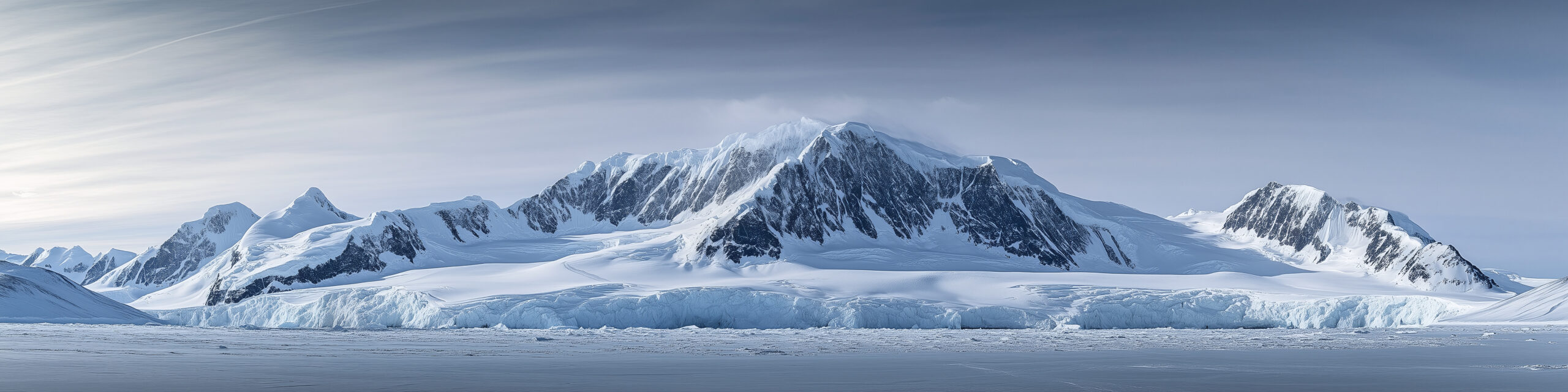
Who first discovered and explored Antarctica’s Sentinel Range?
Lincoln Ellsworth first sighted and photographed the Sentinel Range on November 23, 1935, during a trans-Antarctic flight. The range was not reached and partially surveyed on the ground until January 1958, during an International Geophysical Year-era traverse led by geophysicist Charles R. Bentley. The U.S. Geological Survey subsequently mapped the range using U.S. Navy aerial photographs taken in 1958–1961.
The highest southern mountains, including Mount Vinson (4,892 m), became fully understood through this later reconnaissance. In December 1966, a ten-member American team led by Nicholas Clinch made Vinson’s first ascent. These are four milestones—not one single moment of discovery. Official Antarctic gazetteer ↗ · Original 1966–67 expedition report ↗.
Editorial scope: This page answers a discovery, exploration, and mapping question. It is not a current expedition route guide; those details live in the Mount Vinson climbing guide and Mount Tyree research.
How could a mountain range be seen in 1935 and explored decades later?
The difference is between observation, physical exploration and accurate mapping. Ellsworth’s aircraft could identify large ridges above the ice sheet, but a brief overflight did not establish every summit’s height, location, route, geology or relation to neighboring glaciers.
For more than two decades, Antarctica’s remoteness, aviation limitations, uncertain weather and the difficulty of building field camps slowed the investigation. The International Geophysical Year of 1957–58 created a major scientific opportunity: traverse parties, aerial reconnaissance and geophysical surveys brought previously unknown interior terrain into the research record.
By January 1958, the range could be studied at ground level. U.S. Navy flights and USGS photogrammetry then converted isolated observations into a connected map. The ascent of Vinson in 1966 followed a new era in which climbers could identify the highest peaks and reach them with aircraft support.
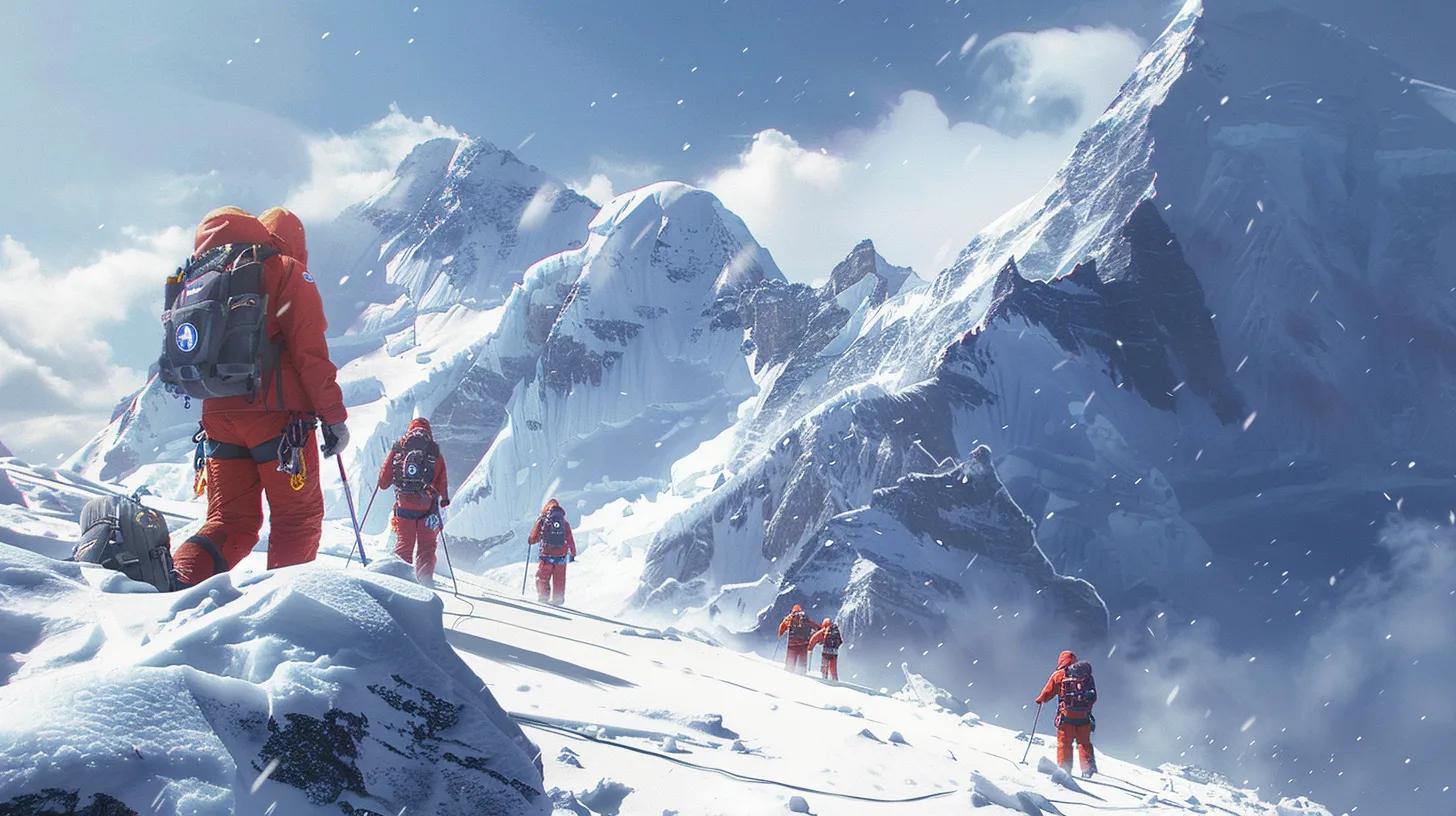
Lincoln Ellsworth gave the range its first modern recorded name.
Lincoln Ellsworth’s trans-Antarctic flight turned a distant mountain silhouette into one of the defining landmarks of West Antarctica. He was attempting a crossing from the Antarctic Peninsula toward the Ross Ice Shelf aboard the aircraft Polar Star, piloted by Herbert Hollick-Kenyon. During the flight he spotted mountainous terrain emerging sharply above the otherwise vast ice surface.
The official Antarctic place-name record dates the first sighting and photography to 23 November 1935. Ellsworth chose the descriptive name Sentinel Range because the mountains stood out like sentinels over comparatively featureless ice. He could recognize the range as an extraordinary feature, but clouds and the speed of the crossing limited how much of it he saw.
Early observers did not yet have a reliable account of the southern mountains that later proved to contain Antarctica’s highest point. A single overflight is not a full survey: measuring position, elevation, geology and drainage patterns would require sustained observation, ground measurements, repeated air photography and the work of cartographers.
Ellsworth’s flight became notable for another reason. His party was unable to make expected radio contact after the journey, triggering concern and a search. The historical achievement was not merely sighting a range; it was attempting an extraordinary route across a continent that still lacked the maps and infrastructure later explorers would take for granted.
Read the detailed Lincoln Ellsworth account at Antarctic Logistics & Expeditions ↗.
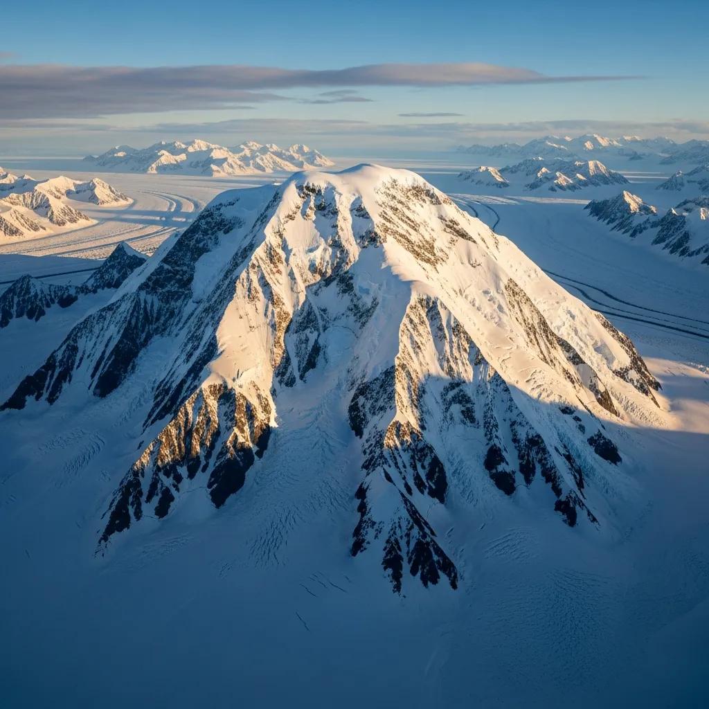
The traverse that turned an aerial discovery into a field survey.
The first documented ground visit and partial survey came during the Antarctic field campaigns associated with the International Geophysical Year (IGY). Geophysicist Charles R. Bentley led the relevant Marie Byrd Land / Sentinel Mountains traverse, bringing researchers over the ice to a range previously known principally through aerial observations.
These teams did not “discover” the mountains in the same sense as Ellsworth’s flight. Their accomplishment was different: reaching remote terrain, surveying positions, observing rock outcrops and beginning the ground truthing that high-quality maps require. Records describe their work in January 1958 as the first visit and partial ground survey of the Sentinel Range.
The scientific work was challenging. Crevasses, long supply lines, storms and vast travel distances made even basic field measurements an expedition. The IGY transformed the scale of Antarctic surveying; the Sentinel Range was one consequence of that broader international effort.
Some source accounts distinguish visits to outlying rock exposures from traverses of the entire high range. That distinction matters: first visited, first partially surveyed and fully mapped refer to different milestones.
Four questions answered
When? January 1958, during the IGY research period.
Who? Charles R. Bentley and the over-snow traverse team; accounts also document other survey personnel and parties.
What? First ground visit and partial surveying of the Sentinel Range.
Why important? Ground observations helped establish locations and made subsequent cartographic interpretation more reliable.
How U.S. Navy aerial photographs transformed Antarctic mapping.
The terrain became navigable on paper only after multiple different kinds of evidence were combined. Aerial photographs offered overlapping views of inaccessible slopes, ground surveys tied images to surveyed positions, and USGS cartographers compiled that information into topographic sheets.
Aerial acquisition
U.S. Navy flights between 1958 and 1961 photographed the Sentinel Range and adjacent glacier country. Images made it possible to connect separate peaks and ridges into a coherent geographic system.
Ground control
Traverse observations and known survey positions helped align photos with real geography. Without that control, apparent heights and relationships between mountains could be misleading.
Map compilation
USGS used the photographs and surveys to document ridges, glaciers, mountain names and contours. Later mapping refined those early results as measurements improved.
What the early maps got right—and what later surveys changed
Mid-century field maps could identify the high southern Sentinel summits, but elevations were especially difficult to measure across a remote ice-covered region. One famous example is Mount Vinson: early reports placed its summit around 5,140 metres, whereas later GPS work established 4,892 metres.
The historical 5,140 m figure still appears in some archival descriptions. It is valuable as evidence of surveying history, not as the height to use for a modern mountain comparison. A USGS research report documents the evolution of Vinson’s height, the advances in survey precision and the geology of the region.
Specific stories about individual cartographers or purported naming mistakes deserve separate source verification. This article does not turn vague search phrases into invented incidents or dates.
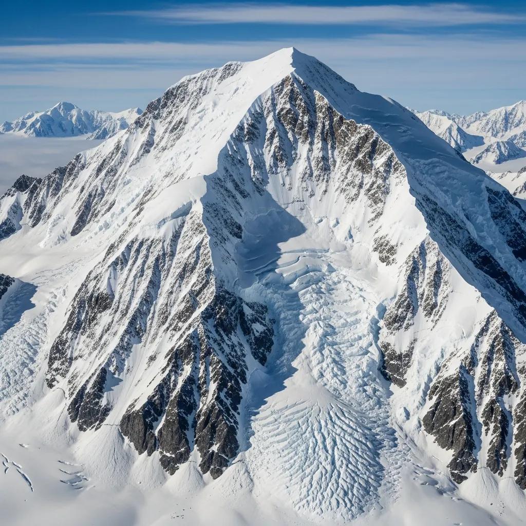
Where is the Sentinel Range—and which mountains does it contain?
The Sentinel Range lies in West Antarctica, forming the high northern part of the Ellsworth Mountains. Minnesota Glacier separates it from the Heritage Range to the south. The official geographic description gives the Sentinel Range a length of about 185 km (115 miles) and a width of about 24–48 km (15–30 miles).
Ellsworth Mountains → Sentinel Range
Ellsworth Mountains: the larger West Antarctic system. Sentinel Range: the higher northern part, containing Vinson, Tyree and many peaks over 4,000 m. Heritage Range: the southern part across Minnesota Glacier.
These names are related but not interchangeable. Understanding the difference also helps avoid confusing the mountain range with nearby Antarctica-wide mountain regions.
Mount Vinson · 4,892 m
Mount Vinson is the high point of the Sentinel Range, the Ellsworth Mountains and Antarctica. It is one of the Seven Summits. Mount Tyree, only around 40 metres lower, is far more rarely climbed and technically more demanding.
| Mountain | Elevation | Historical / mountaineering significance | Read next |
|---|---|---|---|
| Mount Vinson | 4,892 m | Highest summit in Antarctica; first climbed December 1966. | Vinson guide |
| Mount Tyree | 4,852 m | Second-highest summit; first climbed in January 1967. | Tyree history |
| Mount Shinn | ~4,660 m | First climbed during the 1966 expedition’s extended program. | Antarctica peaks |
| Mount Gardner | ~4,587 m | One of the pioneering 1966–67 first ascents. | Antarctica peaks |
| Mount Epperly | ~4,359 m | Major steep, technical mountain in the southern Sentinel Range. | Peak selection |
When was Mount Vinson identified—and why did its height change?
Lincoln Ellsworth’s 1935 flight established the presence of major mountains, but it did not provide a complete survey of the high southern Sentinel Range. The International Geophysical Year reconnaissance and subsequent photogrammetric surveys identified the Vinson Massif as the dominant high mountain block in that part of Antarctica.
The massif was named for Carl G. Vinson, the U.S. congressman whose support for Antarctic research helped sustain American scientific work. Later usage distinguished the Vinson Massif (the larger geographic feature) from Mount Vinson (the highest summit within it). Search results sometimes mix these names and elevations across decades.
The survey story is instructive: early height estimates around 5,140 m were revised downward as surveying improved. Modern GPS surveys give the summit elevation as 4,892 m / 16,050 ft (the exact feet conversion is commonly rounded by sources). If a historical map displays the older number, the map is not necessarily “wrong” for its publication era; it records the state of geographic knowledge at the time.
To understand the present expedition objective, use the Mount Vinson parent guide. This history article does not replace its routes, permits, readiness or operator information.
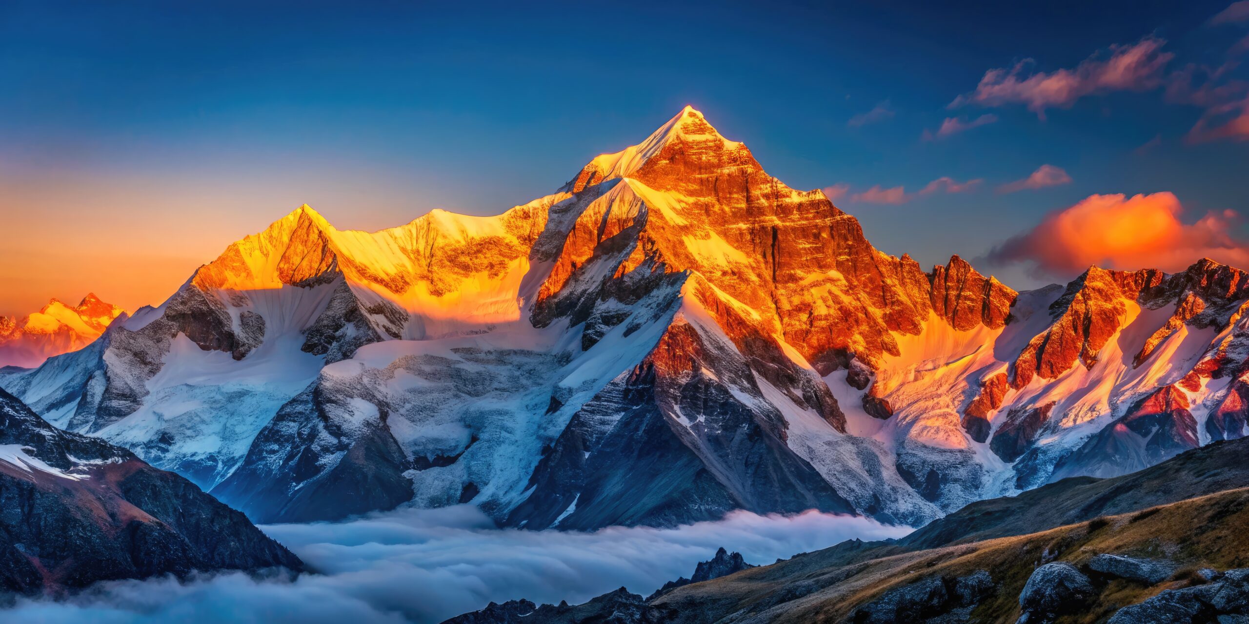
Ten climbers reached Vinson—and opened the way to other Sentinel summits.
The American Antarctic Mountaineering Expedition, led by Nicholas B. Clinch, reached the Sentinel Range with aircraft-supported logistics and a ten-person team. The first four climbers summited Mount Vinson on December 18, 1966; the others followed on December 19 and 20, making this a first ascent shared by the entire party over successive summit days.
Pete Schoening, John Evans, Barry Corbet and Bill Long made the first summit party. The undertaking depended not only on mountaineering competence but on institutional cooperation and Antarctica’s emerging transport capabilities. The original expedition account, written by participant Brian Marts for the American Alpine Journal, records the human and logistical dimensions of the ascent.
The party did not stop after Vinson. Expedition members went on to climb several other major summits for the first time. Mount Shinn was reached on December 21–24, and Mount Gardner during successive efforts around New Year. On January 6, 1967, Barry Corbet and John Evans made the first ascent of Mount Tyree, a mountain that would remain far less frequently climbed than Vinson.
Climbers also recorded first ascents of Long Gables and Mount Ostenso on January 12, 1967. These achievements changed the image of the range from “a blank on the map” to a collection of very different climbing challenges.
Read Brian Marts’s original American Alpine Journal expedition report ↗.

Sentinel Range exploration: a timeline from 1935 to the present.
Lincoln Ellsworth photographs the range from the air
The first recorded aerial sighting during a trans-Antarctic flight. The name “Sentinel Range” reflects its appearance as a landmark over the ice.
First visit and partial ground survey
Charles R. Bentley’s IGY-era over-snow traverse reaches the mountain region and starts establishing field observations.
U.S. Navy aerial photography
The USGS uses photographs and survey control to map the Sentinel Range with far greater detail.
Geographic naming and mapping mature
Sentinel Range becomes the high northern portion of the Ellsworth Mountains; the Heritage Range is mapped separately to the south.
Mount Vinson receives its first ascent
All ten climbers of Nicholas Clinch’s American expedition reach the summit over three days.
Mount Tyree’s first ascent
Barry Corbet and John Evans climb Antarctica’s second-highest mountain, illustrating the technical range of the new climbing era.
New elevations and modern naming
GPS-based surveys document Vinson at 4,892 m; official naming distinguishes Mount Vinson from Vinson Massif.
From polar discovery to expedition mountaineering.
Mount Vinson is now an established but extraordinarily remote Seven Summits objective. The rest of the range still includes rarely climbed summits whose technical complexity, rescue margin and environmental commitment far exceed what their elevation alone suggests.
Climbers planning Vinson should consult current operator logistics, weather and route information—not historical descriptions as if the 1958 survey routes were modern approach lines. Separately, historical readers can explore the fascinating evolution of naming, remote sensing, geology and early scientific survey methods.
This separation is deliberate: a page ranking for “Sentinel Range first sighted and later explored” should answer that question immediately. The regional climbing guides can then give readers practical next steps without distracting the historical search intent.
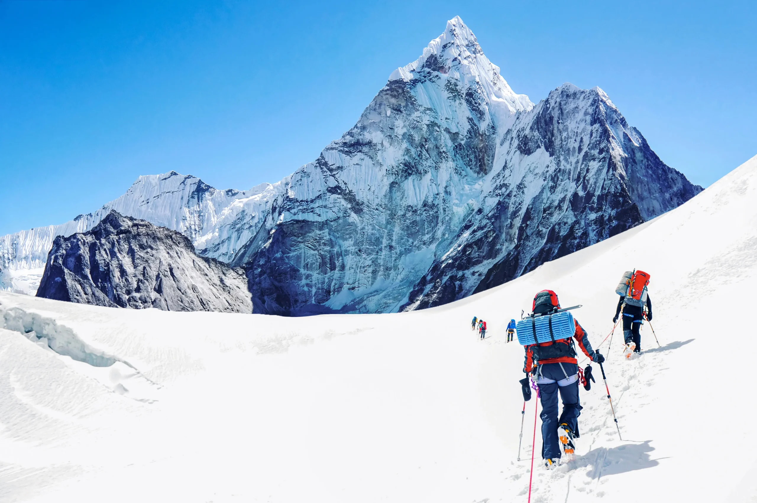
Explore the named peaks of the Sentinel Range.
The discovery and mapping story is also visible in the names: Bentley, Clinch, Schoening, Corbet, Fukushima and Marts commemorate the polar scientists and climbers who helped define the range. Search these 20 selected peaks by name, or filter the high summits. Elevations vary between mapping sources; this is a reference list rather than a survey authority.
20 peaks shown
01 · Mount Vinson4,892 m
The continent’s highest peak and principal Seven Summits objective.
First ascent recorded: 18 December 196602 · Mount Tyree4,852 m
Antarctica’s second-highest mountain; far more technical and much less climbed than Vinson.
First ascent recorded: 6 January 196703 · Clinch Peak4,841 m
Named in recognition of Nicholas Clinch, leader of the 1966–67 expedition.
04 · Corbet Peak4,822 m
Named for Barry Corbet of the Vinson and Tyree first-ascent teams.
05 · Schoening Peak4,743 m
Honors pioneering alpinist Pete Schoening of the first Vinson team.
06 · Hollister Peak4,729 m
A Vinson Massif summit commemorating geologist Charles Hollister.
07 · Príncipe de Asturias Peak4,680 m
Named high point in the Vinson Massif summit complex.
08 · Mount Shinn4,660 m
First reached by members of the American Antarctic Mountaineering Expedition.
First ascent recorded: December 196609 · Fukushima Peak4,634 m
Commemorates Eiichi Fukushima, a member of the 1966–67 expedition.
10 · Mount Gardner4,587 m
A significant early first ascent recorded during the original Sentinel Range climbing campaign.
First ascent recorded: 1966–67 expedition11 · Marts Peak4,551 m
Named for climber and expedition chronicler Brian Marts.
12 · Branscomb Peak4,520 m
A high shoulder near the modern Vinson climbing route, named within the massif.
13 · Opalchenie Peak4,503 m
A named summit among the high central Sentinel peaks.
14 · Mount Rutford4,477 m
A high mountain of the Craddock area; the name honors glaciologist Robert Rutford.
15 · Mount Craddock4,368 m
A recognized summit in the Craddock Massif at the southern end of the Sentinel Range.
16 · Mount Epperly4,359 m
The reported first ascent was a solo climb by Swiss alpinist Erhard Loretan. Published height estimates differ.
First ascent recorded: 1 December 199417 · Mount Anderson4,254 m
Named peak in the central Sentinel Range.
18 · Mount Bentley4,245 m
Named for geophysicist Charles R. Bentley, leader of the historic ground traverse.
19 · Mount Ostenso4,180 m
Climbed during the 1966–67 American expedition by Evans, Wahlstrom, Hollister and Silverstein.
First ascent recorded: 12 January 196720 · Mount Giovinetto4,090 m
Named for glaciologist Mario Giovinetto and connected to IGY-era discoveries.
The named-summit list reflects the existing Global Summit Guide peak inventory. For authoritative names or current elevations, consult the Antarctic Gazetteer. The 1958 survey, not the modern summit lists, is the central subject of this article.
Sentinel Range discovery and exploration FAQ
When was the Sentinel Range first sighted?
Lincoln Ellsworth first sighted and photographed the Sentinel Range from the air on November 23, 1935, during his trans-Antarctic flight.
Who discovered the Sentinel Range?
Lincoln Ellsworth is credited with the first modern documented sighting of the range in 1935. The range was only partially explored and surveyed on the ground more than two decades later.
Why wasn’t the Sentinel Range explored until 1958?
Its extreme remoteness, limited air and surface logistics, weather and lack of reliable maps made sustained field research very difficult. The 1957–58 International Geophysical Year supported over-snow scientific traverses and reconnaissance.
When did explorers first visit the Sentinel Range on the ground?
The official Antarctic gazetteer records a first visit and partial survey in January 1958 during the IGY-era traverse led by Charles R. Bentley.
How was the Sentinel Range mapped?
The U.S. Geological Survey used field survey information and aerial photographs taken by the U.S. Navy in 1958–1961 to compile maps of the range.
Who took the aerial photographs used for mapping?
U.S. Navy aerial-photography operations provided images used in the USGS mapping program. Original mission records are required to credit any specific photograph to a particular flight crew.
Where is the Sentinel Range in Antarctica?
It lies in West Antarctica and forms the higher northern portion of the Ellsworth Mountains, north of Minnesota Glacier.
Is the Sentinel Range the same as the Ellsworth Mountains?
No. The Sentinel Range is the northern and higher part of the Ellsworth Mountains; the Heritage Range lies to the south of Minnesota Glacier.
What is the highest mountain in the Sentinel Range?
Mount Vinson is the highest summit, at 4,892 metres (about 16,050 feet), according to modern measurements.
Why did early sources give Mount Vinson a height over 5,100 m?
Initial reconnaissance and surveying produced a higher figure; improved GPS measurements revised Mount Vinson’s elevation to 4,892 m. Some historic place-name and map records preserve the older figure.
Who first climbed Mount Vinson?
Pete Schoening, John Evans, Barry Corbet and Bill Long summited on December 18, 1966; the other six members of Nicholas Clinch’s expedition followed on December 19–20.
When was Mount Tyree first climbed?
On January 6, 1967, Barry Corbet and John Evans made the first ascent of Mount Tyree during the same American expedition.
Can you climb the Sentinel Range today?
Yes, but the mountain matters: Vinson has specialized commercial expedition operations, whereas Tyree and many other peaks require a much more advanced technical background and specialized logistics.
How this Sentinel Range chronology was verified.
The key dates and geographic relationships below come from source documents rather than trying to reconstruct early polar exploration from incomplete search snippets.
- SCAR / Australian Antarctic Data Centre — Sentinel Range gazetteer: length, width, first recorded sighting and first partial survey in January 1958.
- Australian Antarctic Data Centre — Ellsworth Mountains: geographic relationship between the Sentinel and Heritage ranges.
- USGS — Craddock Massif and Vinson Massif remeasured: 4,892 m elevation, geology and survey history.
- American Alpine Journal (1967) — Brian Marts, American Antarctic Mountaineering Expedition: original 1966–67 first-ascent report and expedition roster.
- Antarctic Logistics & Expeditions — Lincoln Ellsworth: flight history and the evolving name of the mountain system.
Images appearing on the article are from the existing Global Summit Guide media library. Their exact subjects and load status must be checked in WordPress preview. This historical article does not claim personal firsthand attendance at the described expeditions.
From the Sentinel Range story to the highest mountains on Earth’s coldest continent.
The 1935 sighting, 1958 ground traverse, 1960s mapping and 1966 Vinson ascent explain why the Sentinel Range became central to Antarctic mountaineering. Move to the individual summit guides when your question turns from history to a possible expedition.
The Peaks of the Sentinel Range
Antarctica’s highest mountains, all in one range. Tap any peak for its elevation, first ascent and story — from Mount Vinson, roof of the continent, to the technical giant Mount Tyree.
-
1 Mount VinsonHighest in Antarctica 4,892 m16,050 ft
- Elevation
- 4,892 m (16,050 ft)
- First ascent
- 18 December 1966
- By
- Barry Corbet, John Evans, Bill Long, Pete Schoening (Nicholas Clinch expedition)
The roof of Antarctica and one of the Seven Summits. The high point of the Vinson Massif, first climbed by the American Antarctic Mountaineering Expedition in December 1966. The modern normal route is a non-technical but brutally cold snow climb.
-
2 Mount Tyree2nd highest 4,852 m15,919 ft
- Elevation
- 4,852 m (15,919 ft)
- First ascent
- 6 January 1967
- By
- Barry Corbet & John Evans
Second-highest peak in Antarctica and far harder than Vinson — steep, exposed and seldom climbed. A true mountaineer’s objective rather than a guided walk-up.
-
3 Clinch PeakVinson Massif 4,841 m15,883 ft
- Elevation
- 4,841 m (15,883 ft)
A high summit on the Vinson Massif, named for expedition leader Nicholas Clinch.
-
4 Corbet PeakVinson Massif 4,822 m15,820 ft
- Elevation
- 4,822 m (15,820 ft)
Named for Barry Corbet, one of the four first ascensionists of Vinson.
-
5 Schoening PeakVinson Massif 4,743 m15,561 ft
- Elevation
- 4,743 m (15,561 ft)
Named for Pete Schoening, legendary for ‘The Belay’ on K2 in 1953 and a member of the first Vinson team.
-
6 Hollister PeakVinson Massif 4,729 m15,515 ft
- Elevation
- 4,729 m (15,515 ft)
A named summit on the Vinson Massif, honouring expedition geologist Charles Hollister.
-
7 Príncipe de Asturias PeakVinson Massif 4,680 m15,354 ft
- Elevation
- 4,680 m (15,354 ft)
A summit on the Vinson Massif, named for the Spanish royal title.
-
8 Mount Shinn 4,660 m15,289 ft
- Elevation
- 4,660 m (15,289 ft)
- First ascent
- December 1966
- By
- 1966 American Antarctic Mountaineering Expedition
The third major summit climbed by the 1966 team, over several days in late December. Named for Rear Admiral Conrad Shinn, who made the first aircraft landing at the South Pole.
-
9 Fukushima Peak 4,634 m15,203 ft
- Elevation
- 4,634 m (15,203 ft)
Named for Eiichi Fukushima, a member of the 1966–67 expedition.
-
10 Mount Gardner 4,587 m15,049 ft
- Elevation
- 4,587 m (15,049 ft)
Discovered by the Marie Byrd Land Traverse party of 1957–58 and named for US Navy pilot Lt. Harvey E. Gardner, lost in a 1959 crash at Marble Point.
-
11 Marts Peak 4,551 m14,931 ft
- Elevation
- 4,551 m (14,931 ft)
Named for Brian Marts of the 1966–67 expedition.
-
12 Branscomb PeakVinson route 4,520 m14,829 ft
- Elevation
- 4,520 m (14,829 ft)
A shoulder of the Vinson Massif. The modern normal route to Vinson climbs the Branscomb Glacier and passes over this ground.
-
13 Opalchenie Peak 4,503 m14,774 ft
- Elevation
- 4,503 m (14,774 ft)
A surveyed summit in the high Sentinel Range.
-
14 Mount Rutford 4,477 m14,688 ft
- Elevation
- 4,477 m (14,688 ft)
Named for glaciologist Robert Rutford; the Rutford Ice Stream nearby also bears his name.
-
15 Mount Craddock 4,368 m14,331 ft
- Elevation
- 4,368 m (14,331 ft)
A major Sentinel summit; its west face was a notable later objective recorded by the American Alpine Club.
-
16 Mount Epperly 4,359 m14,301 ft
- Elevation
- 4,359 m (14,301 ft)
- First ascent
- 1 December 1994
- By
- Erhard Loretan (solo, south face)
First climbed solo by Swiss alpinist Erhard Loretan via the 2,100 m south face. GPS surveys in 2007 suggest the true height may be as much as 4,512 m.
-
17 Mount Anderson 4,254 m13,957 ft
- Elevation
- 4,254 m (13,957 ft)
A named peak of the central Sentinel Range.
-
18 Mount Bentley 4,245 m13,927 ft
- Elevation
- 4,245 m (13,927 ft)
Named for geophysicist Charles R. Bentley, who led the 1957–58 traverse that mapped much of the range.
-
19 Mount Ostenso 4,180 m13,714 ft
- Elevation
- 4,180 m (13,714 ft)
- First ascent
- 12 January 1967
- By
- John Evans, Richard Wahlstrom, Charles Hollister, Samuel Silverstein
Climbed by a party of the 1966–67 expedition on the same day as Long Gables.
-
20 Mount Giovinetto 4,090 m13,419 ft
- Elevation
- 4,090 m (13,419 ft)
Discovered 1957–58 and named for Byrd Station glaciologist Mario Giovinetto.
Elevations are the best published survey figures and can vary a few metres between surveys. Sources: Wikipedia (Sentinel Range), the American Alpine Club, and ExplorersWeb. Verified October 2026.
History of the Sentinel Range & Antarctic Climbing
The Sentinel Range holds Antarctica's highest peaks. Explore the modern objectives and the polar collection below.
Was this helpful?
Global Summit Guide is an independent mountaineering resource founded in 2026. The team combines first-hand trekking and climbing experience with in-depth research and professional health and nutrition review to help climbers choose objectives, prepare properly, and stay safe.
Health, altitude, and nutrition content is reviewed by Taylor Ludlow (Registered Nurse) and Brigg Hoopes (Nutritionist).
What We Don't Know Yet
Mountain information changes quickly. This box explains the limits of what this page can responsibly promise.
- Visa, passport, vaccination, border, insurance, and local transportation rules may change before your trip.
- Route conditions, snowpack, closures, and weather can change quickly after this page is updated.
- Permit rules, fees, quotas, and reservation windows may change between review cycles.
- Operator availability, pricing, guide ratios, and cancellation terms can change by season.
- Your fitness, altitude response, risk tolerance, and experience level may change what is safe or realistic.
Verify current conditions with official land managers, guide services, local forecasts, and current route reports before booking or climbing.
Mountaineering, rock and ice climbing, glacier travel, and high-altitude activity are inherently dangerous and can result in serious injury or death. The information on Global Summit Guide is provided for general informational and educational purposes only and is not a substitute for professional instruction, qualified guiding, proper equipment, or your own judgment and experience.
Route conditions, weather, snowpack, permits, regulations, and hazards change constantly and may differ from what is described here. Details may be incomplete, out of date, or contain errors. Always verify current information with local authorities, certified guides, and official sources before making any decision in the mountains.
Nothing on this site is medical, legal, or financial advice. Our fitness, acclimatization, altitude, and nutrition content is general in nature; consult a qualified physician before beginning any strenuous exercise program or exposing yourself to high altitude.
You are solely responsible for your own safety and decisions. To the fullest extent permitted by law, Global Summit Guide and its team accept no liability for any loss, injury, damage, or expense arising from use of, or reliance on, this information. By using this site you acknowledge these risks and accept these terms.
Some links on this site may be affiliate links. If you buy through them we may earn a small commission at no extra cost to you; this never affects our recommendations.
Global Summit Guide recommendation path
Next Best Mountain to Research
Use these recommendations to continue the right planning path instead of stopping on one page.
Use current permit, weather, route, and operator information before booking or climbing.