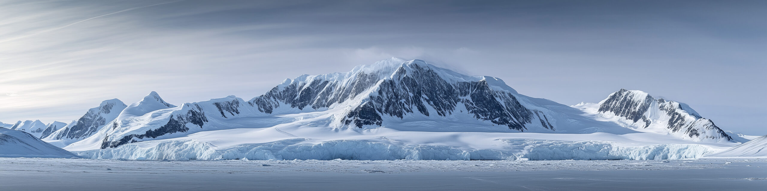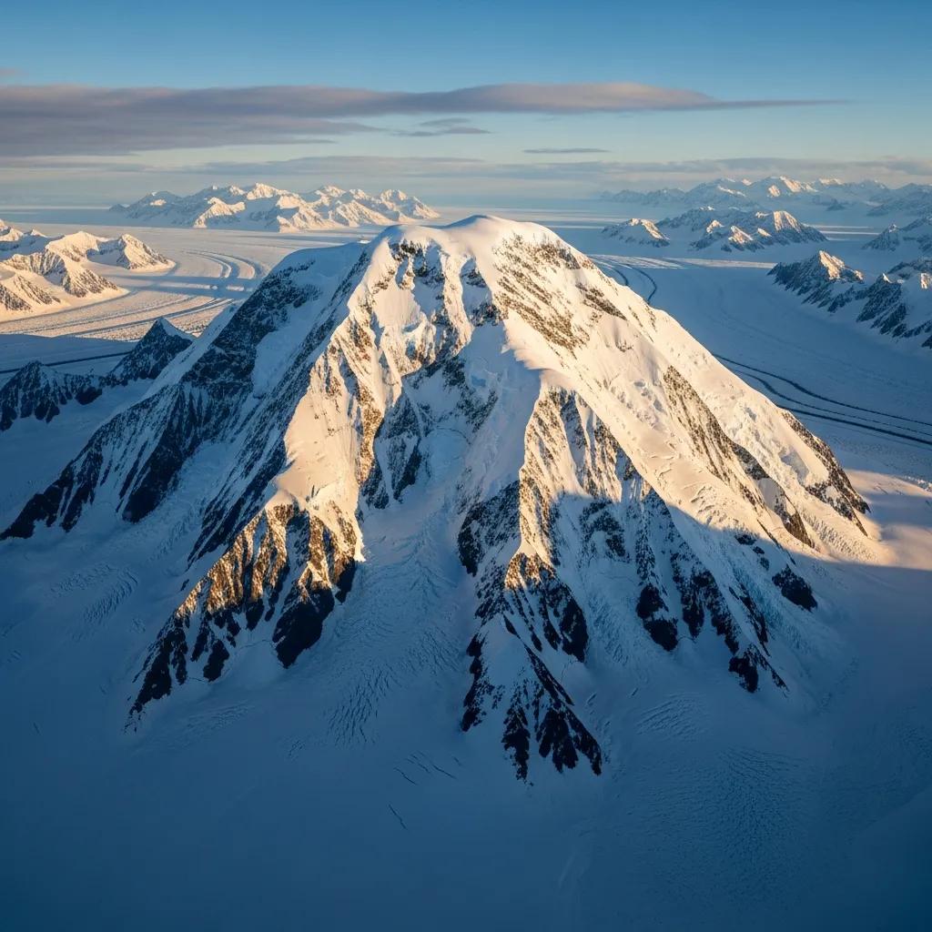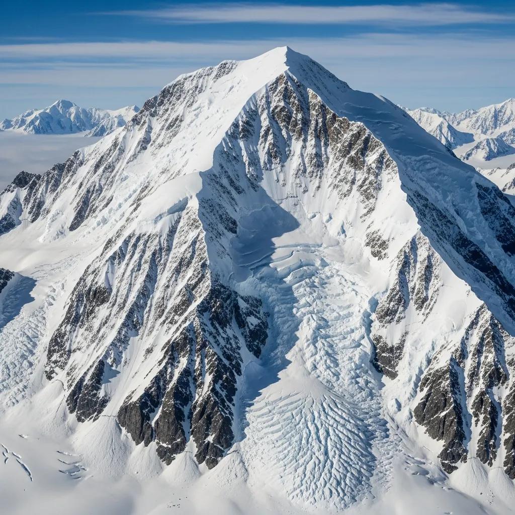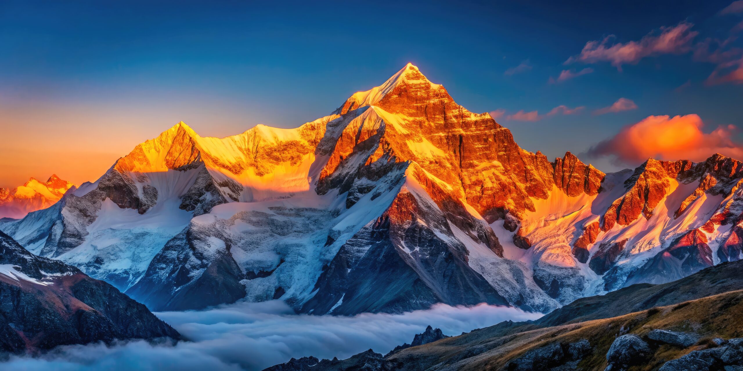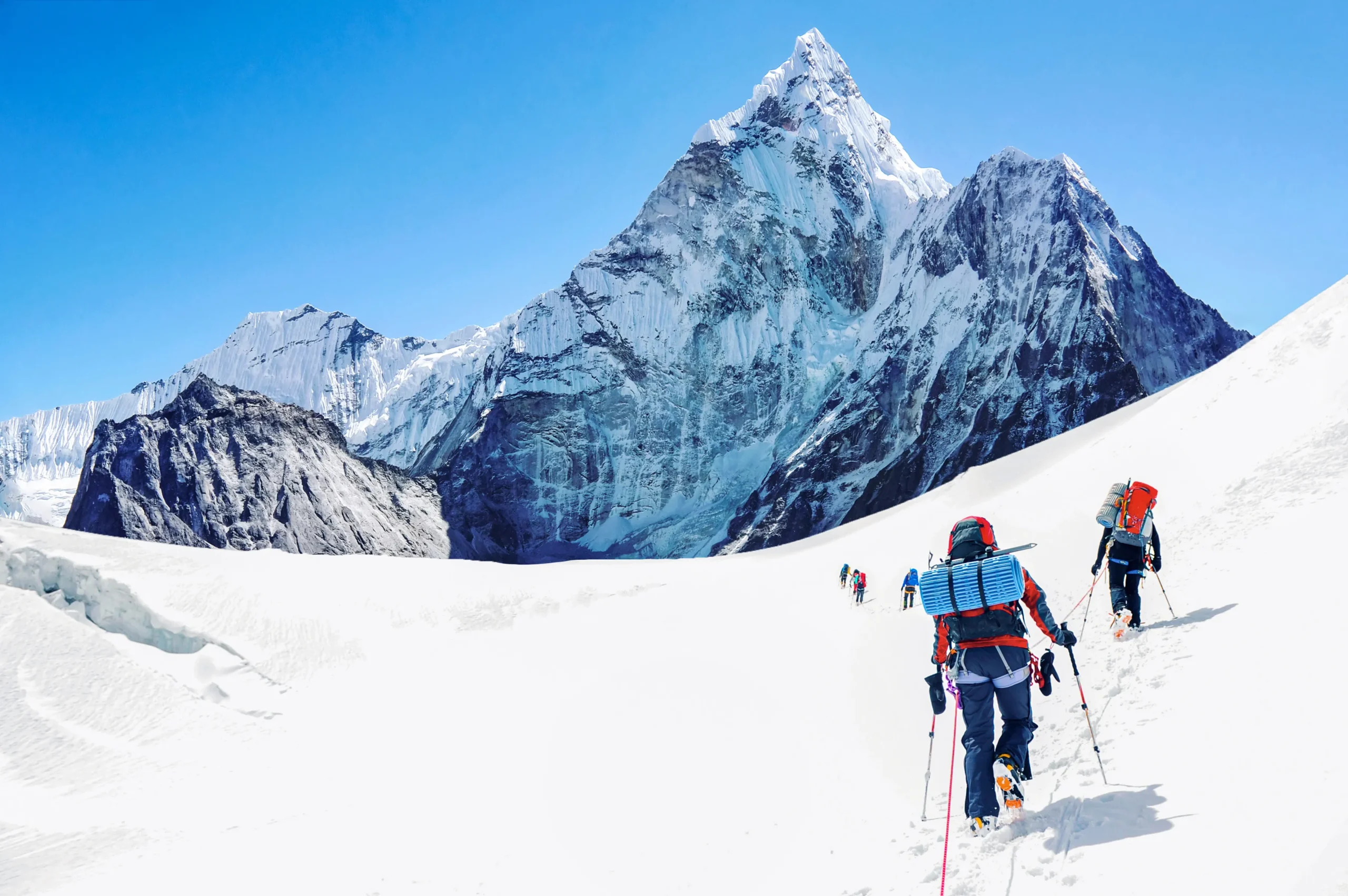
Mount Tyree is 4,852 m (15,919 ft), Antarctica’s second-highest peak. Just 40 m below Vinson and 13 km away, it has been climbed by only about 20 people.
Expedition Updates · Antarctica
Mount Tyree expedition update
Antarctica’s second-highest peak, and far harder than the highest. This page tracks the Second Summits challenge, the contrast with neighbouring Vinson, the technical climb, the logistics, and a go or no-go checklist. A single-mountain page in our Expedition Updates directory. Elevations in metres (feet).
By Travis Ludlow, Founder & Head of Research · Safety review: Dawson Ludlow
Updated Jul 27, 2026 · Reviewed before each Antarctic season · ~9 min read
Single-mountain expedition update. Built from ALE logistics information, published expedition and ascent records, and Seven Second Summits references, with sources named below. Reviewed for safety by Dawson Ludlow, Climbing & Mountaineering Lead (Wilderness First Aid). Our team has not climbed Mount Tyree. This is a planning briefing for experienced alpinists, not a how-to.
Current statusExpert alpine4,852 m (15,919 ft)
Forty metres lower than Vinson, and a different sport entirely.
Mount Tyree is Antarctica’s second-highest peak, just 40 m below Vinson and only 13 km away, reached through the same Union Glacier logistics. On paper it looks like a companion climb. In reality it is one of the hardest and least-climbed major mountains on earth.
Vinson has been climbed well over 1,200 times on a non-technical trade route. Tyree has been climbed by about 20 people, with no standard route and no guided trips. It is the clearest proof that the second-highest peaks can be far harder than the highest. See the easier neighbour in our Vinson update.
4,852 m
Summit (15,919 ft)
Second-highest in Antarctica, 40 m below Vinson.
~20
People ever on top
Against well over 1,200 on neighbouring Vinson.
Nov to Jan
Climbing season
The short Antarctic summer window.
Mount Tyree stands in the Sentinel Range of the Ellsworth Mountains, 13 km northwest of Vinson, rising between the Patton and Cervellati glaciers. Discovered from the air in 1958 and first climbed in 1967, it has stayed almost untouched ever since, a peak for a tiny number of elite expeditions rather than the commercial trade. This page owns the current picture, the Second Summits context, the Vinson contrast, and what the climb actually involves. For the full history and route records, see our Mount Tyree guide.
A short Antarctic summer window, for a very few teams.
Tyree is climbed, when it is climbed at all, in the Antarctic summer from November to January, the same window as Vinson, when there is 24-hour daylight and the least severe conditions. But where Vinson sees dozens of climbers a season, Tyree may see none at all in a given year. There is no season tracker in the usual sense; the status that matters is simply whether a capable team, with the logistics arranged, is attempting it.
The Second Summits angle
The harder game beyond the Seven Summits.
The Seven Summits, the highest peak on each continent, are a famous goal. The Seven Second Summits, the second-highest peak on each continent, are a far tougher and much rarer one, first completed by Hans Kammerlander. The reason is that on several continents the second peak is harder than the highest, and Antarctica is the sharpest example. Tyree, alongside K2 in Asia, is one of the two hardest summits on the Second list, and its tiny number of ascents is a large part of why so few people ever finish the challenge.
The pattern in one line: the highest peak is often the popular, achievable one, while the second-highest is the mountaineer’s test. It holds for Kilimanjaro and Mount Kenya, for Elbrus and Dychtau, and most of all for Vinson and Tyree. Explore the full set in our Seven Summits hub.
Tyree versus Vinson
Same range, same access, opposite mountain.
Mount Tyree compared with its higher, far easier neighbour, Mount Vinson.
Aspect
Mount Tyree
Mount Vinson
Height
4,852 m (15,919 ft), second
4,892 m (16,050 ft), highest
Ascents ever
About 20 people, a handful of times
Well over 1,200
Difficulty
Technical, steep and exposed
Non-technical snow plod
Route
No standard route
An established trade route
Guided climbs
None
Guided commercially every season
List
Seven Second Summits
One of the Seven Summits
The two mountains share the flight to Union Glacier, the season, and the brutal Antarctic climate. Everything else diverges. Vinson is the achievable, guided, non-technical Seven Summit that has never recorded a climber fatality and boasts a near-total success rate. Tyree is a committing technical climb with no trade route to follow and no guides to hire, attempted only by the most capable and self-sufficient teams. Reaching one does not prepare you for the other.
The climb and difficulty
Technical ground, and a great unclimbed face.
No standard route
Tyree has been climbed by only about three lines in its history, mostly via ridges such as the northeast ridge, all of them technical, steep, and exposed. Because so few teams have been there, route knowledge is thin and every attempt is close to pioneering. The enormous south face, roughly 2,000 m high, has never been climbed at all, and is considered one of the greatest unclimbed objectives left in Antarctica. This is a mountain for climbers comfortable with uncertainty and commitment, not for following tracks.
Access and logistics
The Vinson chain, without the trade-route safety net.
Getting to Tyree begins exactly as it does for Vinson: a flight from Punta Arenas, Chile, to Union Glacier Camp with Antarctic Logistics and Expeditions, then a ski-plane toward the Sentinel Range. From there the resemblance ends. There is no guided programme, no fixed camps, and no other teams to lean on, so a Tyree attempt is a custom, self-organized expedition of 20 days or more, put together by climbers who bring their own technical competence. Because ALE controls the logistics, the cost is high before the climbing even begins.
Cold, remoteness and rarity
The environment is the adversary.
⚠ One of the most committing summits on earth
Antarctic summer temperatures on Tyree run around -20 to -30 C, and colder with wind, and the peak sits deep in the Sentinel Range far from any help. There is no rescue infrastructure on the mountain and, in most seasons, no one else nearby. A team must be entirely self-sufficient and able to solve serious problems alone, in one of the harshest environments any climber will face.
That is why so few have stood on top: more people have flown on the International Space Station than have climbed Mount Tyree. It demands elite technical skill, deep polar experience, and sound judgment. Refresh the fundamentals with our crevasse rescue basics guide. This page is educational and is not a substitute for experience.
Weather and timing
A live look at the Sentinel Range.
Tyree sits in the interior of Antarctica, where even summer conditions are extreme and weather can pin a team down or ground the ski-planes for days. The live map below shows current conditions for the massif; a real attempt relies on ALE and the team’s own forecasting for every move.
Live temperature and weather for the Mount Tyree area. Source: Windy.com. For how to read a mountain forecast, see our weather guide.Mount Tyree, 13 km northwest of Vinson in the Sentinel Range of the Ellsworth Mountains. Map: OpenStreetMap contributors.
Go or no-go checklist
Work through these before you commit.
Before you go
Bring elite alpine experience – Tyree expects technical competence and deep polar background, not a Vinson resume.
Plan a custom expedition – there is no guided programme; you build the trip and the team yourselves.
Arrange ALE logistics early – the flight chain to the Sentinel Range must be booked well ahead.
Be fully self-sufficient – assume no rescue and no other teams; carry the margins to survive alone.
Expect no beaten path – route knowledge is thin, so plan for pioneering and uncertainty.
Confirm evacuation cover – rescue in the range is limited, weather-dependent, and slow.
Antarctica expedition updates
Tyree’s neighbours on the continent, each with its own update page. Back to the full Expedition Updates dashboard.
The questions climbers ask most about the difficulty, the rarity, and the Vinson comparison.
How does Mount Tyree compare to Mount Vinson?
Tyree is Antarctica’s second-highest peak at 4,852 m, only 40 m below Vinson and just 13 km away, but it is a completely different climb. Vinson is a non-technical glacier plod with an established trade route and well over 1,200 ascents. Tyree is a steep, exposed, technical climb with no standard route, no guided trips, and only around 20 people ever on its summit. The second-highest peak is far harder than the highest, which is the whole point of the mountain.
How many people have climbed Mount Tyree?
Very few. Since the first ascent in 1967, only about 20 people have reached the summit, in a handful of successful ascents along roughly three routes. To put that in perspective, more people have been aboard the International Space Station than have stood on top of Mount Tyree, while neighbouring Vinson has been climbed well over a thousand times. It is one of the least-climbed major mountains on earth.
Why is Tyree so much harder than Vinson if it is lower?
Because in Antarctica height is not the main difficulty; the cold and the terrain are. Vinson’s normal route is straightforward snow at a moderate angle, while Tyree’s upper sections demand technical climbing on steep, exposed ground, and it has no trade route or guided infrastructure to fall back on. That combination makes it a far more committing expedition despite being 40 m lower. It is the clearest example of why the second-highest peaks are often the harder climbs.
What are the Seven Second Summits?
The Seven Second Summits are the second-highest peaks on each of the seven continents, a challenge widely considered tougher than the Seven Summits and first completed by Hans Kammerlander. Tyree in Antarctica and K2 in Asia are the hardest on the list, which is why far fewer climbers attempt it than the famous Seven Summits. Tyree, with only around 20 summiters, is one of the biggest obstacles to finishing it.
How do you get to Mount Tyree?
The approach is the same as Vinson: fly from Punta Arenas, Chile, to Union Glacier Camp with Antarctic Logistics and Expeditions, then take a ski-plane toward the Sentinel Range. From there the similarity ends. Unlike Vinson there is no trade route and no commercial guided climb, so reaching and climbing Tyree is a custom, self-sufficient expert expedition, typically 20 days or more.
What is the route on Mount Tyree?
There is no standard route. The mountain has been climbed by only about three lines, mostly via ridges such as the northeast ridge, all of them technical. The enormous south face, roughly 2,000 m high, has never been climbed and is considered one of the greatest unclimbed objectives on the entire continent. Any team attempting Tyree is close to pioneering territory rather than following a beaten path.
How cold and remote is Mount Tyree?
Antarctic summer temperatures run around -20 to -30 C, and far colder with wind, and Tyree sits deep in the Sentinel Range, a long way from any help. There is no rescue infrastructure on the mountain and, in most seasons, no other climbers anywhere near it. A team has to be entirely self-sufficient and prepared to solve any problem on its own, which is a large part of what makes the peak so serious.
How high is Mount Tyree and where is it?
Mount Tyree is 4,852 m (15,919 ft), the second-highest mountain in Antarctica, in the Sentinel Range of the Ellsworth Mountains, 13 km northwest of Mount Vinson. It was discovered from the air in 1958 and first climbed in January 1967 by Barry Corbet and John Evans, members of the same American expedition that made the first ascent of Vinson.
📋 How this update is built
This page is compiled by Travis Ludlow, Founder and Head of Research at Global Summit Guide, from ALE logistics information, published expedition and ascent records, and Seven Second Summits references, with sources named below. It was reviewed for safety by Dawson Ludlow, our Climbing and Mountaineering Lead (Wilderness First Aid), whose highest first-hand summit is Kilimanjaro.
Our team has not climbed Mount Tyree, so we report expedition records and official logistics rather than personal experience, and we review this page before each Antarctic season. Because so few ascents exist, details are drawn from a small body of published accounts; confirm current logistics with ALE and specialist operators before planning around them.
2026–27 season · ALE price checked September 3 · upcoming departures
Mount Vinson Expedition Update 2026
The 2026–27 Vinson season has not started yet. Antarctic Logistics & Expeditions currently lists its guided Mount Vinson climb at $57,900 for 12 days, with departures beginning November 26, 2026 and running through January 10, 2027. The standard Branscomb Shoulder Route remains the normal line, but the most unusual part of Vinson is still access: every commercial trip depends on the Antarctic interior logistics system staged through Punta Arenas and Union Glacier.
ALE, Antarctic Treaty and national travel guidance checked September 3, 2026
Current answer
What Is the Mount Vinson Status for the 2026–27 Season?
The upcoming commercial season is scheduled and bookable. ALE currently shows five departures for the 2026–27 austral summer: November 26, December 7, December 18 and December 30, 2026, plus January 10, 2027.
ALE’s current direct guided product is $57,900 and 12 days. The trip starts with the flight from Punta Arenas to Union Glacier, then moves to Vinson Base Camp before the climb through Low Camp and High Camp.
The published standard route remains the Branscomb Shoulder Route: glacier travel, snow-covered slopes up to about 45 degrees, an exposed high plateau and the summit ridge.
Because the season has not begun as of September 3, this is a planning-status update, not a report of current snow surface, fixed-line condition or summit-day weather. Those operational details will only become meaningful once the season is underway.
Season statusUpcoming
Current price$57,900
Published duration12 days
Access gatewayPunta Arenas
Antarctic hubUnion Glacier
Standard routeBranscomb Shoulder
Price correction: the previous version used a broad $45,000–$58,000 guided-fee range. ALE’s own current guided Vinson product is now listed at $57,900. This page uses the current ALE number and leaves multi-operator pricing to the dedicated Vinson cost guide.
Current ALE schedule
Mount Vinson 2026–27 Departure Dates
These are the dates ALE currently publishes for its guided Mount Vinson trip. Availability can change after this page is checked.
Nov 26, 2026Available when checked
Dec 7, 2026Available when checked
Dec 18, 2026Available when checked
Dec 30, 2026Available when checked
Jan 10, 2027Available when checked
Why the page says 2026–27: Antarctica’s climbing season crosses the calendar year. The January 10, 2027 departure belongs to the same austral-summer operating season as the November and December 2026 trips.
The access chain
How ALE Logistics Actually Work
ALE currently describes itself as the only operator with access to Mount Vinson. That is the defensible version of the logistics story.
01 · Chile
Punta Arenas
The commercial staging city. ALE’s current trip includes airport transfers in Punta Arenas and the round-trip Antarctica flight, but not commercial flights to Chile or Punta Arenas hotels/meals.
02 · Antarctica
Union Glacier
The interior logistics hub and first Antarctic stop on ALE’s 12-day itinerary.
03 · Mountain
Vinson Base Camp
The itinerary moves from Union Glacier to Vinson Base Camp, where climbers acclimate to Antarctic conditions and review skills.
04 · Climb
Low Camp → High Camp
The climbing itinerary then moves via the Branscomb Glacier to Low Camp, High Camp and the summit before returning to Base Camp and Union Glacier.
Wording correction: the prior version called ALE the only logistics provider on the entire continent. ALE itself currently makes the narrower claim that it is the only operator with access to Mount Vinson. That is the wording used here.
Current published price
Mount Vinson Cost: Start With $57,900, Then Add the Exclusions
This page does not try to maintain a second multi-operator cost database. It uses ALE’s current direct product as the live reference point.
ALE direct guided product
$57,900
Current published price for ALE’s 12-day guided Mount Vinson climb.
That number already includes the expensive Antarctica flight and on-continent expedition services listed by ALE. Your true trip budget will still be higher because several important costs sit outside the product price.
For guide-company comparisons and a full budget model, use the dedicated Vinson Massif Cost Guide.
List price$57,900
Duration12 days
Antarctica flightIncluded
Chile hotelExcluded
Personal gearExcluded
InsuranceExcluded
Read the product before comparing operators
What the Current ALE Price Includes—and What It Does Not
Item
Status
Current ALE wording / planning implication
Punta Arenas airport transfers
Included
Included within Punta Arenas for the ALE program.
Round-trip flight to Antarctica
Included
The high-cost air access from Punta Arenas is part of the guided trip price.
Antarctic meals + tented accommodation
Included
Applies to the Antarctica portion of the trip.
Antarctic guides + lecturers
Included
Included in ALE’s current direct guided product.
Checked luggage
Included
Up to 55 lb / 25 kg plus skis under current published terms.
Commercial flights to Punta Arenas
Excluded
Budget separately from your home airport.
Punta Arenas hotels + meals
Excluded
Plan staging accommodation and food before/after Antarctica.
Personal equipment + clothing
Excluded
Polar mountaineering gear can materially increase the total trip budget.
Expenses caused by delays
Excluded
Keep a cash and schedule reserve for weather-related disruption.
Insurance
Excluded
Medical, evacuation and other insurance are not included in ALE’s list price.
Satellite-phone charges
Excluded
Communication usage is separate.
Budgeting rule: do not call $57,900 your “all-in Vinson cost.” It is the current ALE guided-product price. Add international travel, Chile staging, equipment, insurance and your own delay reserve before deciding whether the trip fits your budget.
Route snapshot, not a second route guide
The 12-Day Branscomb Shoulder Itinerary
ALE currently describes the standard route as gentle glacier travel, snow slopes up to about 45 degrees, an exposed high plateau and a summit ridge.
1
Day 1Fly to Union Glacier and settle into the Antarctic base.
2
Days 2–3Move to Vinson Base Camp, meet the team, acclimate and review skills.
3
Days 4–5Base Camp to Low Camp via the Branscomb Glacier.
4
Day 6Low Camp to High Camp.
5
Days 7–8High Camp to the Mount Vinson summit.
6
Days 9–12Descend, return to Union Glacier and fly back to Chile.
Cold and Weather Still Matter More Than the Elevation Number Suggests
Vinson is lower than several other Seven Summits, but its polar environment changes the consequences of ordinary expedition problems.
Cold
Prepare for -40°F / -40°C
ALE’s Vinson Base Camp information tells climbers to prepare for temperatures down to approximately -40°F (-40°C) and possible severe storms higher on the mountain.
That does not mean every summit day reaches -40. It means the clothing, hand, foot, sleep and emergency systems need to tolerate a true polar worst-case environment.
Weather
The Schedule Is a Framework, Not a Guaranteed Clock
ALE publishes a 12-day itinerary, but Antarctic aviation and mountain movement remain weather-sensitive. Its published exclusions specifically include expenses incurred because of delays.
Build financial and calendar margin beyond the printed itinerary rather than booking a fragile connection immediately after the expected return.
The old version oversimplified the U.S. process. Antarctic regulation works through treaty obligations implemented by individual countries.
The broad rule
No Single Antarctic-Wide Vinson Permit
There is no one Antarctic park office selling an individual Mount Vinson climbing permit. Tourism and non-governmental expeditions operate under the Antarctic Treaty system, the Environmental Protocol and national implementing laws.
Organizers may need environmental review, advance notification, contingency planning and other authorization depending on the country responsible for the expedition.
Organized commercial climber
Your Operator Usually Handles the Expedition Authorization
For most passengers on organized Antarctic trips, the practical question is whether the expedition organizer has completed the required authorization and advance-notification process—not whether you personally buy a summit permit.
Nationality-specific rules can still apply, so confirm with the operator and the competent authority for your citizenship.
U.S. traveler
Private Trips vs Organized Trips
The U.S. State Department says U.S. tourists planning a private Antarctic trip must notify the Department of State at least three months in advance. For a reputable organized trip, tourists can usually expect the expedition organizer to handle advance notification, but State recommends confirming that it has done so.
U.S.-based nongovernmental operators also have Antarctic environmental-assessment obligations administered through EPA regulations.
UK example
Operator Authorization Can Cover the Passenger
UK guidance says a passenger on an organized Antarctic visit is unlikely to need an individual permit because the tour operator would usually arrange it. An expedition authorized in writing by another Antarctic Treaty contracting party may also fall outside a separate UK permit requirement.
Use this as an example of why the answer depends on expedition organization and nationality.
Correction from the prior version: U.S. citizens do not simply “notify NSF.” For tourist/private-expedition advance-notification questions, current U.S. travel guidance points to the Department of State, while EPA regulates environmental assessment for U.S.-linked nongovernmental operators.
Before paying a deposit
Mount Vinson 2026–27 Booking Checklist
Question
Why it matters
Where to verify
Is my preferred departure still available?
ALE availability can change after this page is checked.
ALE current Mount Vinson page.
What exactly is my operator price?
An outside guide company may package ALE access differently.
Written operator quote + Vinson cost guide.
What is excluded from the price?
Chile staging, gear, insurance and delays can materially raise the total.
Operator inclusions/exclusions.
What insurance is required?
ALE currently excludes insurance; your operator may specify minimum evacuation/medical coverage.
ALE + operator written requirements.
What is my luggage allowance?
ALE currently publishes 25 kg checked luggage plus skis in the guided-product inclusions.
ALE current trip terms.
What technical skills must I arrive with?
Vinson is a glacier expedition, not a beginner trekking route.
Guide/operator prerequisites + main Vinson guide.
Who is handling Antarctic authorization?
National rules and expedition organization determine the process.
Operator + citizenship authority.
How much schedule reserve do I have?
Weather can affect Antarctic flights and climbing days.
Your flight plan and work/family commitments.
Current source hierarchy
Where to Check Mount Vinson Before You Book
Current price + departures
Antarctic Logistics & Expeditions
The primary source for the $57,900 guided product, 12-day itinerary, current departure dates, route summary and current inclusions/exclusions.
U.S. travelers should check State Department/EPA guidance; UK travelers should check current FCDO Antarctic permit guidance. Other nationalities should use their own Antarctic authority.
ALE currently lists its guided Mount Vinson trip at $57,900 for 12 days. That is not an all-in personal trip cost because commercial travel to Punta Arenas, Chile accommodation and meals, personal equipment, insurance, delay expenses and other listed items are excluded.
When are the 2026 Mount Vinson departures?
ALE currently lists November 26, December 7, December 18 and December 30, 2026, plus January 10, 2027. All five were shown available when checked September 3, 2026.
How long is the ALE Mount Vinson expedition?
ALE currently publishes a 12-day itinerary from the flight to Union Glacier through the Vinson climb and return to Chile.
What route does ALE use?
The Branscomb Shoulder Route. ALE describes gentle glacier terrain, snow-covered slopes up to about 45 degrees, an exposed high plateau and the summit ridge.
Is ALE the only way to access Mount Vinson?
ALE currently describes itself as the only operator with access to Mount Vinson. Other guide companies can sell and guide Vinson expeditions, but their Antarctic interior access relies on the ALE logistics system.
What does the $57,900 include?
ALE currently includes Punta Arenas airport transfers, round-trip flight to Antarctica, Antarctic meals and tented accommodation, Antarctic guides and lecturers, a celebration/certificate and checked luggage up to 25 kg plus skis.
What is not included?
Commercial flights to and from Punta Arenas, transfers outside Punta Arenas, meals and accommodation in Punta Arenas, personal equipment and clothing, delay expenses, excess luggage, satellite-phone charges and insurance are among ALE’s current exclusions.
Do I need a permit to climb Mount Vinson?
There is no single Antarctic-wide park-style Vinson climbing permit purchased by every climber. Expeditions operate under Antarctic Treaty environmental rules and national implementing law. On organized commercial trips, the operator usually handles expedition authorization and notification, but travelers should confirm nationality-specific requirements.
How cold is Mount Vinson?
ALE says climbers should prepare for temperatures down to approximately -40°F (-40°C) and possible severe storms higher on the mountain.
Where does the expedition start?
The commercial staging point is Punta Arenas, Chile. ALE’s itinerary then flies to Union Glacier before moving to Vinson Base Camp.
September 2026 planning status
The Next Vinson Season Starts November 26.
The current reference point is clear: ALE lists a $57,900 guided climb, a 12-day itinerary and five departures across the 2026–27 austral summer. Before paying, verify live availability, the exact inclusions in your operator contract, insurance, Antarctic authorization and enough financial and calendar margin for weather disruption.
Antarctic history · Ellsworth Mountains · Polar exploration
The History of the Sentinel Range: Antarctic Exploration and the First Ascent of Mount Vinson
For most of recorded history, one of Earth’s greatest mountain ranges was absent from every map. The Sentinel Range entered human knowledge first as a distant line of peaks beneath an aircraft wing—and only three decades later as the setting for one of twentieth-century mountaineering’s most unusual first ascents.
Published July 14, 2026 · Historical verification: July 14, 2026
Editorial scope: This is a history and geography post—not a second Mount Vinson climbing guide. Discovery dates, early surveys, mapping milestones, naming history, and first-ascent details were checked against USGS research, the American Alpine Club, Antarctic place-name records, and established expedition histories.
The short history
The Sentinel Range was discovered from the air, understood from the ground, and opened by a ten-person expedition.
Lincoln Ellsworth saw and named the northern Sentinel Range on November 23, 1935 during a trans-Antarctic flight in the Polar Star. He did not appear to see the highest southern peaks. Those were identified through the International Geophysical Year era of aerial reconnaissance, oversnow travel, surveying, and photography in 1958–1959.
On December 18, 1966, Pete Schoening, Bill Long, Barry Corbet, and John Evans made the first ascent of Mount Vinson. The remaining six members of Nicholas Clinch’s American Antarctic Mountaineering Expedition followed on December 19 and 20. In a matter of weeks, the same expedition also made first ascents of other major Sentinel Range peaks.
1935Range discovered
1958Vinson identified
1959Aerial mapping
1966Vinson first ascent
4,892 mMount Vinson today
Geographic setting: The Sentinel Range forms the northern half of the Ellsworth Mountains in interior West Antarctica. The Heritage Range lies to the south, separated by the Minnesota Glacier.
The range remained unknown not because it was small, but because Antarctica was vast enough to hide it.
Standing beneath the Sentinel Range, it is hard to accept how recently these mountains entered recorded geography. The Alps had been crossed for trade and war for centuries. Surveyors had calculated the height of Everest in the nineteenth century. Expeditions had penetrated the Andes, Rockies, and Alaska Range. Yet a chain containing Antarctica’s highest mountain remained absent from maps until the 1930s.
The explanation is scale. Antarctica covers roughly 14 million square kilometers, and its interior is sealed behind the Southern Ocean, coastal ice, enormous glaciers, and an ice sheet that erases ordinary landmarks. The Sentinel Range lies in West Antarctica, far from the coastal routes followed by ships and far from the best-known sledging corridors of the Heroic Age.
Reaching the South Pole did not reveal every major feature of the continent. Roald Amundsen and Robert Falcon Scott approached the pole through different mountain gateways hundreds of kilometers from the Ellsworth Mountains. Ernest Shackleton’s proposed transcontinental line also belonged to another geographic problem. The interior was not one white room in which every feature could be seen. It was a continent large enough for entire mountain systems to remain beyond the horizon.
Why the name “Sentinel” fitsEllsworth’s name captured the impression of the peaks standing like guards above the ice. The northern range presents long walls, sharp summits, and isolated massifs rising abruptly from glacier systems. It looks less like a gradual upland than a line of stone sentries.
The airplane changed the map
Antarctic exploration moved from the pace of a dog team to the reach of an aircraft.
Before aviation, explorers learned Antarctica one hard mile at a time. Ships mapped coasts. Sledging parties crossed glaciers and plateaus. Surveyors fixed positions with instruments that depended on clear skies, stable observations, and patient calculation. Every new valley required weeks of travel and the transport of food, fuel, tents, and scientific equipment.
An aircraft did not remove Antarctic risk. Early polar flying introduced new forms of it: engine failure over terrain without landing fields, uncertain fuel calculations, primitive weather information, whiteout, and navigation across a nearly featureless surface. What aviation changed was perspective. From altitude, a crew could identify a mountain front, follow a glacier, photograph several ranges, and cross hundreds of kilometers before a ground party had moved camp.
The Sentinel Range belongs to that transition. It was not approached first by climbers or geologists. It was revealed through a cockpit window.
From blank map to climbing ground. Modern teams move through an environment that was unknown to outside geography until aerial exploration exposed the Ellsworth Mountains in the twentieth century.
Lincoln Ellsworth and the flight of the Polar Star
On November 23, 1935, a line of mountains appeared beneath one of polar aviation’s boldest crossings.
Lincoln Ellsworth
American explorer · polar aviator · geographic pioneer
Ellsworth had already participated in Arctic aviation with Roald Amundsen before turning his attention south. His Antarctic objective was not a sightseeing flight. He wanted to cross a large section of the continent, record new terrain, and prove that aircraft could transform polar geography.
Ellsworth and pilot Herbert Hollick-Kenyon departed Dundee Island near the Antarctic Peninsula in the single-engine Polar Star. Their intended trans-Antarctic flight aimed toward Admiral Richard Byrd’s Little America base on the Ross Ice Shelf. The journey was beset by uncertain weather, difficult navigation, forced landings, and eventually a loss of radio contact that made the outside world fear the men had disappeared.
During the flight on November 23, Ellsworth saw the northern part of the mountain system now called the Ellsworth Mountains. USGS historical research records that he named the Sentinel Range and several visible features, including Mount Lymburner, Polarstar Peak, Mount Ulmer, and Mount Wyatt Earp. The names preserved people and equipment connected to the expedition: his pilot, his aircraft, his wife, and his expedition ship.
The distinction matters: Ellsworth discovered the mountain system, but he apparently did not see its highest southern summits. Vinson Massif lies farther south in the Sentinel Range. The mountain that later became the continent’s highest known point would require another generation of exploration.
A correction to a common oversimplificationIt is often said that Lincoln Ellsworth “discovered Mount Vinson” in 1935. More precisely, he discovered and named the northern Sentinel Range. The Vinson area was identified during later U.S. aerial and ground-survey work in the International Geophysical Year period.
How the Ellsworth Mountains took shape on paper
First came isolated names. The full structure of the range emerged through later survey work.
The Ellsworth Mountains are now understood as two major segments: the Sentinel Range in the north and the Heritage Range in the south. The Minnesota Glacier separates them. That clean geographic description was not available to Ellsworth. From the air, through uncertain weather and limited time, he saw only part of a system whose dimensions, drainage, and highest points were still unknown.
Later cartographers honored Ellsworth by applying his name to the larger mountain system. The choice recognized more than a single sighting. His flight changed the geographic problem. What had been blank space became a range requiring photographs, ground observations, rock samples, elevations, and formal names.
Name
What it identifies
Historical origin
Ellsworth Mountains
The full West Antarctic mountain system
Named for Lincoln Ellsworth and his polar discoveries
Sentinel Range
The northern, higher segment
Named by Ellsworth after his 1935 flight
Heritage Range
The southern segment
Later mapped and named through U.S. Antarctic survey programs
Minnesota Glacier
The glacier separating the two segments
Named in connection with University of Minnesota geological work
Vinson Massif
The broad high massif containing Mount Vinson
Named for U.S. Representative Carl G. Vinson
The International Geophysical Year reaches the Ellsworth Mountains
The next chapter belonged to scientists, surveyors, Navy air crews, and oversnow traverses.
The International Geophysical Year of 1957–1958 brought an unprecedented concentration of scientific effort to Antarctica. Nations established stations, launched traverses, expanded aerial photography, measured ice, recorded weather and seismic activity, and turned enormous areas of uncertain geography into surveyable terrain.
On January 12, 1958, an oversnow traverse led by geophysicist Charles R. Bentley saw the Ellsworth Mountains. The party visited two outlying nunataks, collected rock samples, and established positions for major peaks through ground surveying. The encounter was important because the range was no longer only an aerial impression. Scientists had reached its margins and begun tying the visible peaks to measured ground control.
U.S. Navy aircraft also observed the high massif during this period. Vinson Massif was identified in January 1958, bringing the highest southern section of the Sentinel Range into formal geographic knowledge. Early elevation estimates changed as measurements improved, but the larger conclusion held: the Sentinel Range contained the highest ground in Antarctica.
Why ground control matteredAerial photographs can show shape and relative position, but accurate topographic maps require known points. Surveyors established positions and elevations on the ground so photogrammetrists could convert overlapping images into measurable terrain.
From trimetrogon photography to USGS maps
By the early 1960s, the mountains had moved from scattered observations to usable topographic sheets.
On December 14, 1959, U.S. Navy Squadron VX-6 photographed the Sentinel Range using trimetrogon aerial coverage. The system used three cameras: one pointing downward and two looking obliquely to either side. Together they captured broad terrain strips suited to mapping vast areas where ordinary ground survey networks were sparse.
Combined with subsequent field observations, these photographs produced a series of 1:250,000-scale U.S. Geological Survey maps. The Newcomer Glacier, Nimitz Glacier, and Vinson Massif sheets were published in 1962. Additional photography of the Heritage Range in 1962 supported later Liberty Hills and Union Glacier sheets.
Those maps changed what was possible. A mountain expedition could now discuss actual glaciers and passes rather than a vague white space. Geologists could design traverses. Pilots could relate landing possibilities to named terrain. Peaks could be compared, measured, and approached as part of a connected system.
Nov. 23, 1935
Lincoln Ellsworth discovers the northern Sentinel Range during the trans-Antarctic flight of the Polar Star.
Jan. 12, 1958
Charles Bentley’s IGY traverse sees the Ellsworth Mountains, visits outlying nunataks, collects rock, and establishes survey positions.
Jan. 1958
Vinson Massif is identified by U.S. aerial reconnaissance in the southern Sentinel Range.
Dec. 14, 1959
U.S. Navy VX-6 photographs the Sentinel Range with trimetrogon aerial coverage.
1961–1962
University of Minnesota geological fieldwork traverses much of the western Sentinel Range and parts of the Heritage Range.
1962
USGS topographic sheets are published for the Vinson Massif and neighboring glacier systems.
Dec. 18, 1966
The first four climbers reach Mount Vinson’s summit.
Vinson: from unnamed high ground to Antarctica’s summit
The continent’s highest peak was recognized only after the range itself had been surveyed.
Vinson Massif was named for Carl G. Vinson, the long-serving U.S. representative from Georgia who supported funding for American Antarctic research. The naming followed a common Antarctic pattern: remote geographic features often honored the public officials, scientists, military personnel, pilots, and field workers who made exploration possible.
For decades, “Vinson Massif” served as both the name of the broad mountain body and, informally, its highest point. Modern place-name usage distinguishes Mount Vinson, the 4,892-meter summit, from Vinson Massif, the larger elevated block around it. That distinction helps separate the precise summit from the whole mountain complex.
The elevation also evolved with measurement. Early figures were higher. Better surveying, satellite geodesy, and GPS work eventually established the accepted elevation of 4,892 meters (16,050 feet). The changing number is not evidence that the mountain shrank. It records the history of improving instruments.
A mountain can be “discovered” several timesFirst it is seen. Then it is photographed. Then its position is fixed. Then its height is measured. Then geologists interpret its rock. Then climbers find a route. Vinson passed through each stage within about three decades.
The American Antarctic Mountaineering Expedition of 1966–1967
Ten climbers arrived with Navy support, scientific objectives, and a plan larger than one summit.
By the early 1960s, Mount Vinson had become the obvious unclimbed prize of the continent. Two groups within the American Alpine Club began seeking support for an expedition. The efforts eventually merged, and Nicholas Clinch was selected to lead what became the American Antarctic Mountaineering Expedition, commonly abbreviated AAME.
The expedition was sponsored by the American Alpine Club and the National Geographic Society, with field support from the U.S. Navy and the National Science Foundation’s Antarctic program. That combination was essential. Private climbers could not simply book an aircraft into the Sentinel Range. The team depended on the polar aviation and logistics infrastructure of the U.S. Antarctic program.
The ten members were:
Expedition member
Role in the historical record
Nicholas Clinch
Expedition leader and organizer
Barry Corbet
First-ascent party; later first ascent of Mount Tyree with John Evans
John Evans
First-ascent party; geologist and later Mount Tyree first ascensionist
Eiichi Fukushima
Expedition climber; associated with the first ascent of Mount Shinn
Charles Hollister
Scientist and mountaineer
William “Bill” Long
First-ascent party
Brian Marts
Expedition mountaineer
Peter “Pete” Schoening
First-ascent party; renowned American climber
Samuel Silverstein
Physician and mountaineer
Richard Wahlstrom
Expedition mountaineer
The U.S. Navy transported the party first to McMurdo Station and then across the continent in a ski-equipped LC-130 Hercules. The aircraft delivered the team and its equipment into the Sentinel Range—a striking contrast with Ellsworth’s uncertain 1935 crossing. Aviation had progressed from discovery to sustained field support.
The expedition’s objectives extended beyond planting a flag on the highest summit. The team intended to climb several of the range’s major peaks, collect observations, and demonstrate what organized mountaineering could accomplish in the Antarctic interior.
December 18, 1966: the first ascent of Mount Vinson
The summit was reached not by the expedition leader alone, but by a four-man team moving through the range’s first established climbing campaign.
Pete Schoening, Bill Long, Barry Corbet, and John Evans reached the summit of Mount Vinson on December 18, 1966. The date places the ascent late in mountaineering history compared with the world’s other continental high points. Everest had been climbed in 1953. Denali’s first ascent dated to 1913. Aconcagua had been climbed in 1897. Vinson remained untouched until aircraft and institutional logistics made a serious attempt possible.
The remaining expedition members did not stop below. Three more reached the summit on December 19, and the final three followed on December 20. All ten members stood on Antarctica’s highest mountain.
The collective success says something about the expedition’s design. This was not a rushed dash by a small summit pair while others supported from below. It was a broad mountaineering program whose entire membership reached the primary objective.
The first summit teamPete Schoening, Bill Long, Barry Corbet, and John Evans—December 18, 1966. Nicholas Clinch led the expedition, but the first four summiters should be named individually when recounting the ascent.
The modern route, flight schedule, commercial camp structure, and equipment have changed profoundly. The historical meaning has not. The 1966 climbers proved that a major Antarctic range could support a sustained alpine expedition and that its highest summit was attainable through careful logistics and disciplined fieldwork.
More than Vinson: a season of first ascents
The expedition did not leave after the continental high point. It turned to the harder mountains around it.
The American Antarctic Mountaineering Expedition made first ascents of six of Antarctica’s highest peaks. That broader record is often overshadowed by Vinson’s Seven Summits status. In mountaineering terms, however, the neighboring objectives gave the expedition much of its depth.
Mount Shinn was climbed soon after Vinson. Mount Tyree—the second-highest mountain in Antarctica and a far more technical objective—was first climbed by John Evans and Barry Corbet in January 1967. Other summits added to an extraordinary season in which a team moved through a previously unclimbed high range and solved one route after another.
This is one reason the 1966–1967 expedition deserves to be remembered as more than “the Vinson trip.” It was the opening survey of Sentinel Range mountaineering.
Do not confuse elevation with difficultyMount Vinson became famous because it is the continental high point. Mount Tyree, only about 40 meters lower, is a much more serious technical climb. The first expedition’s move from Vinson to Tyree showed that its ambition extended beyond list completion.
Explore the range’s broader climbing geography in the Antarctic peaks collection, which includes Mount Tyree, Mount Shinn, Mount Gardner, Mount Epperly, and other objectives beyond Vinson.
What exploration revealed beneath the ice
The Sentinel Range was not only a climbing discovery. Its rocks preserved a record of vanished seas, moving continents, and ancient life.
Early geological teams found that the Ellsworth Mountains contain thick sequences of sedimentary and metamorphosed sedimentary rock. In the Vinson area, resistant quartz-rich sandstone and related rocks form steep ridges and summit crests. Fossils—including trilobites and younger Paleozoic material in the wider range—help geologists reconstruct environments that existed long before Antarctica became an ice-covered continent.
The range also carries evidence relevant to continental drift. The orientation and history of the Ellsworth Mountains have been studied as part of West Antarctica’s complicated tectonic development. Rocks now locked in polar ice formed under conditions radically different from the modern climate and were displaced as the southern continents assembled and separated.
For a climber, the landscape looks permanent: dark walls, blue ice, wind-carved snow. For a geologist, it is evidence of motion over hundreds of millions of years.
The mountain is younger as a human idea than as a landformVinson entered maps in the twentieth century, but its rocks preserve a history hundreds of millions of years old. “Discovery” marks the beginning of outside documentation, not the beginning of the mountain.
From state-supported exploration to modern expeditions
The infrastructure changed. The continent’s control over every journey did not.
After 1966, ascents remained rare because access was the dominant obstacle. The second ascent did not occur until years later. There was no regular commercial air bridge, no established Union Glacier camp, and no predictable schedule for private climbing teams.
The development of private Antarctic logistics in the 1980s changed that pattern. Aircraft, blue-ice runway operations, ski-plane transfers, field communications, environmental systems, and established base camps allowed guided expeditions to reach Vinson on a regular seasonal basis. The mountain became the Antarctic member of the Seven Summits circuit.
That modern access should not blur the historical sequence. Today’s climber stands on layers of work:
Discovery
Ellsworth’s aircraft reveals the northern range.
Survey
IGY traverses and Navy aircraft establish positions and collect photographs.
Mapping
USGS sheets turn photographs and ground control into usable topography.
Field science
Geologists traverse the range and interpret its rocks.
Mountaineering
The AAME makes the first ascents of Vinson and neighboring peaks.
Commercial access
Private polar aviation opens a regular seasonal path for modern climbers.
The complete modern planning process belongs in the canonical Mount Vinson climbing guide. That page covers flights, the Branscomb Shoulder route, camps, skills, weather, gear, cost, and safety. This post stops where that planning guide begins.
Why the Sentinel Range still matters
The history is not finished simply because the highest peak has a boot track.
The Sentinel Range remains important in three distinct ways.
It records the transformation of polar exploration
The range was discovered by an aircraft, mapped through military and scientific aviation, reached by oversnow traverses, and climbed with state-supported logistics. Its history compresses the twentieth-century evolution of Antarctic fieldwork into one place.
It is a geological archive
The exposed rock above the ice provides rare windows into West Antarctica’s deep history. Fossils, sedimentary layers, folds, and structural relationships help scientists reconstruct ancient environments and continental movement.
It remains a serious alpine range
Vinson is now a standardized guided objective, but the Sentinel Range is not “solved.” Peaks such as Tyree, Gardner, and Epperly retain technical seriousness, sparse visitation, and expedition-level consequences. Beyond the best-known lines, the range still holds the scale and remoteness that first defined it.
A range larger than one summit. Mount Vinson is the headline, but the Sentinel Range contains a dense concentration of Antarctica’s highest and most technically demanding peaks.
Frequently asked questions
Direct answers to the historical questions most often confused in short mountain summaries.
Who discovered the Sentinel Range?
Lincoln Ellsworth discovered the northern Sentinel Range on November 23, 1935, during his trans-Antarctic flight in the Polar Star. He named the range and several visible peaks.
Did Lincoln Ellsworth discover Mount Vinson?
Not in the precise sense. Ellsworth saw the northern Sentinel Range but apparently did not see the highest southern massifs. Vinson was identified through U.S. aerial and survey work during the International Geophysical Year era in 1958.
When was the Sentinel Range first visited on the ground?
An IGY oversnow traverse led by Charles R. Bentley reached outlying features of the Ellsworth Mountains in January 1958, collected rock samples, and established survey positions. Later geological teams worked extensively in the range.
Who made the first ascent of Mount Vinson?
Pete Schoening, Bill Long, Barry Corbet, and John Evans reached the summit on December 18, 1966. They were members of the ten-person American Antarctic Mountaineering Expedition led by Nicholas Clinch. Every expedition member summited by December 20.
Why is the mountain named Vinson?
Vinson Massif was named for U.S. Representative Carl G. Vinson of Georgia, who supported funding for American Antarctic research and exploration.
Why are the Ellsworth Mountains divided into two ranges?
The Sentinel Range forms the northern and higher segment, while the Heritage Range lies to the south. The Minnesota Glacier separates the two.
Was Vinson the only mountain climbed by the 1966 expedition?
No. The expedition made first ascents of six major Antarctic peaks, including Mount Vinson. Its members also opened important routes on neighboring mountains such as Mount Shinn and Mount Tyree.
Why was Mount Vinson climbed so late?
Access, not lack of climbing ability, was the central barrier. The mountain is deep in the Antarctic interior. A serious attempt required accurate maps, long-range ski aircraft, polar logistics, communications, and institutional support.
The chronology was checked against the USGS paper Craddock Massif and Vinson Massif Remeasured, which summarizes the discovery of the Ellsworth Mountains, the 1958 traverse, 1959 aerial photography, subsequent mapping, and early scientific work. The 1966 expedition roster and six-peak first-ascent record were checked against the American Alpine Club’s historical exhibit. First-ascent details were cross-checked with Antarctic Logistics & Expeditions and established expedition histories.
Primary and institutional references: U.S. Geological Survey; American Alpine Club; U.S. Antarctic place-name records; Antarctic Logistics & Expeditions; International Association of Antarctica Tour Operators.
Historical names and elevations can change as naming authorities refine definitions and survey technology improves. This article distinguishes Mount Vinson from Vinson Massif and uses the accepted modern elevation of 4,892 meters.
Why we wrote this guide
Mountains are more useful when they are understood as places rather than products. The Sentinel Range cannot be reduced to an expedition price and a summit itinerary. Its story belongs to pilots, surveyors, scientists, mapmakers, military air crews, and climbers who worked in sequence to reveal a range that had been invisible to the outside world. This post preserves that history while the separate Mount Vinson guide handles practical expedition planning.
Travis Ludlow
Founder & Head of Research, Global Summit Guide
Travis develops research-based mountain resources from Nephi, Utah. Global Summit Guide separates history, geography, route planning, equipment, cost, and operator selection into distinct articles so each page can answer one job thoroughly without repeating the same mountain overview.
Ready to move from history to expedition planning?
Follow the Sentinel Range story into the complete Mount Vinson guide, where modern aviation, camps, the standard route, weather, skills, equipment, cost, and safety are covered in detail.