Mount Tyree expedition update
Antarctica’s second-highest peak, and far harder than the highest. This page tracks the Second Summits challenge, the contrast with neighbouring Vinson, the technical climb, the logistics, and a go or no-go checklist. A single-mountain page in our Expedition Updates directory. Elevations in metres (feet).
Forty metres lower than Vinson, and a different sport entirely.
Mount Tyree is Antarctica’s second-highest peak, just 40 m below Vinson and only 13 km away, reached through the same Union Glacier logistics. On paper it looks like a companion climb. In reality it is one of the hardest and least-climbed major mountains on earth.
Vinson has been climbed well over 1,200 times on a non-technical trade route. Tyree has been climbed by about 20 people, with no standard route and no guided trips. It is the clearest proof that the second-highest peaks can be far harder than the highest. See the easier neighbour in our Vinson update.
Summit (15,919 ft)
Second-highest in Antarctica, 40 m below Vinson.
People ever on top
Against well over 1,200 on neighbouring Vinson.
Climbing season
The short Antarctic summer window.
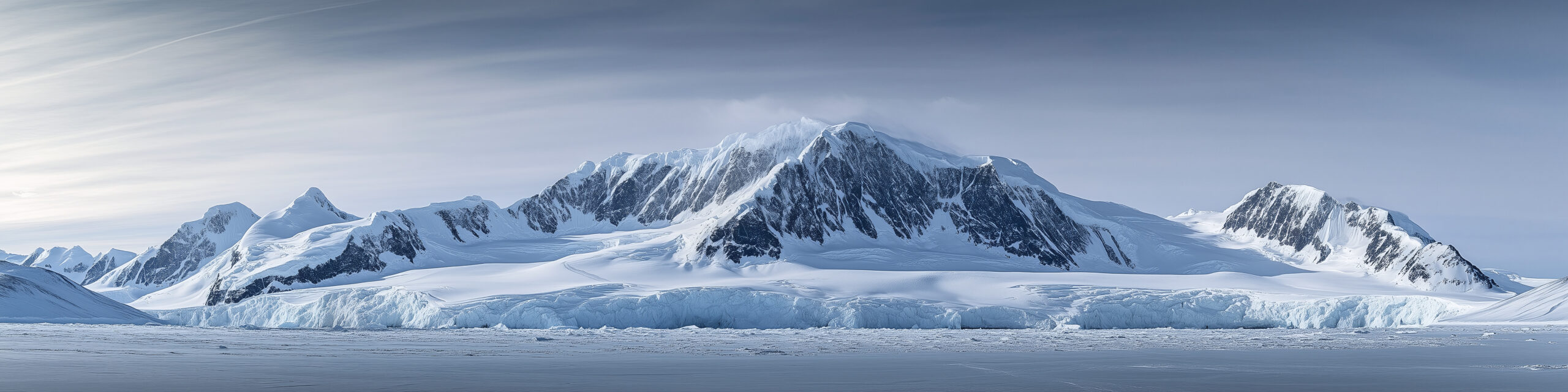
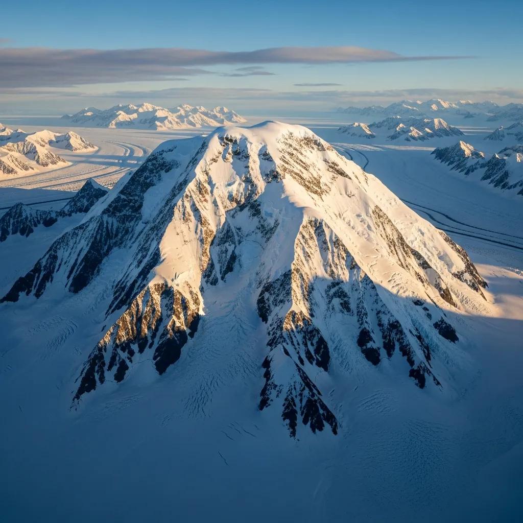
Mount Tyree stands in the Sentinel Range of the Ellsworth Mountains, 13 km northwest of Vinson, rising between the Patton and Cervellati glaciers. Discovered from the air in 1958 and first climbed in 1967, it has stayed almost untouched ever since, a peak for a tiny number of elite expeditions rather than the commercial trade. This page owns the current picture, the Second Summits context, the Vinson contrast, and what the climb actually involves. For the full history and route records, see our Mount Tyree guide.
Season and status
A short Antarctic summer window, for a very few teams.
Tyree is climbed, when it is climbed at all, in the Antarctic summer from November to January, the same window as Vinson, when there is 24-hour daylight and the least severe conditions. But where Vinson sees dozens of climbers a season, Tyree may see none at all in a given year. There is no season tracker in the usual sense; the status that matters is simply whether a capable team, with the logistics arranged, is attempting it.
The Second Summits angle
The harder game beyond the Seven Summits.
The Seven Summits, the highest peak on each continent, are a famous goal. The Seven Second Summits, the second-highest peak on each continent, are a far tougher and much rarer one, first completed by Hans Kammerlander. The reason is that on several continents the second peak is harder than the highest, and Antarctica is the sharpest example. Tyree, alongside K2 in Asia, is one of the two hardest summits on the Second list, and its tiny number of ascents is a large part of why so few people ever finish the challenge.
Tyree versus Vinson
Same range, same access, opposite mountain.
| Aspect | Mount Tyree | Mount Vinson |
|---|---|---|
| Height | 4,852 m (15,919 ft), second | 4,892 m (16,050 ft), highest |
| Ascents ever | About 20 people, a handful of times | Well over 1,200 |
| Difficulty | Technical, steep and exposed | Non-technical snow plod |
| Route | No standard route | An established trade route |
| Guided climbs | None | Guided commercially every season |
| List | Seven Second Summits | One of the Seven Summits |
The two mountains share the flight to Union Glacier, the season, and the brutal Antarctic climate. Everything else diverges. Vinson is the achievable, guided, non-technical Seven Summit that has never recorded a climber fatality and boasts a near-total success rate. Tyree is a committing technical climb with no trade route to follow and no guides to hire, attempted only by the most capable and self-sufficient teams. Reaching one does not prepare you for the other.
The climb and difficulty
Technical ground, and a great unclimbed face.
No standard route
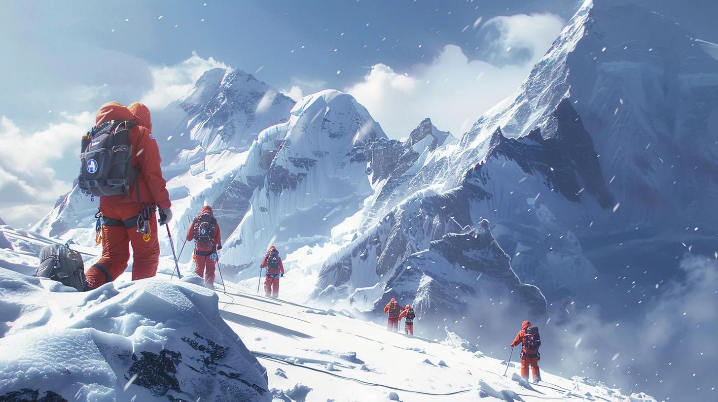
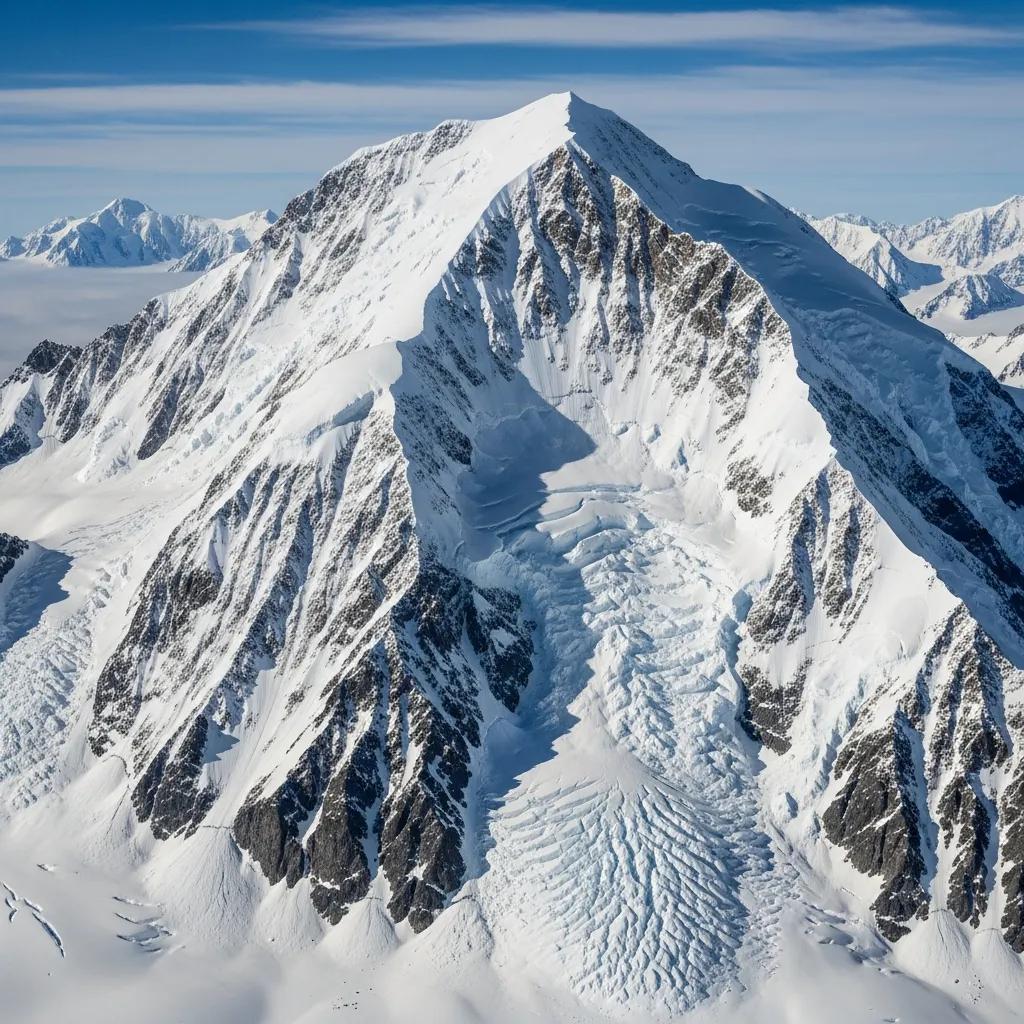
Tyree has been climbed by only about three lines in its history, mostly via ridges such as the northeast ridge, all of them technical, steep, and exposed. Because so few teams have been there, route knowledge is thin and every attempt is close to pioneering. The enormous south face, roughly 2,000 m high, has never been climbed at all, and is considered one of the greatest unclimbed objectives left in Antarctica. This is a mountain for climbers comfortable with uncertainty and commitment, not for following tracks.
Access and logistics
The Vinson chain, without the trade-route safety net.
Getting to Tyree begins exactly as it does for Vinson: a flight from Punta Arenas, Chile, to Union Glacier Camp with Antarctic Logistics and Expeditions, then a ski-plane toward the Sentinel Range. From there the resemblance ends. There is no guided programme, no fixed camps, and no other teams to lean on, so a Tyree attempt is a custom, self-organized expedition of 20 days or more, put together by climbers who bring their own technical competence. Because ALE controls the logistics, the cost is high before the climbing even begins.
Cold, remoteness and rarity
The environment is the adversary.
Antarctic summer temperatures on Tyree run around -20 to -30 C, and colder with wind, and the peak sits deep in the Sentinel Range far from any help. There is no rescue infrastructure on the mountain and, in most seasons, no one else nearby. A team must be entirely self-sufficient and able to solve serious problems alone, in one of the harshest environments any climber will face.
That is why so few have stood on top: more people have flown on the International Space Station than have climbed Mount Tyree. It demands elite technical skill, deep polar experience, and sound judgment. Refresh the fundamentals with our crevasse rescue basics guide. This page is educational and is not a substitute for experience.
Weather and timing
A live look at the Sentinel Range.
Tyree sits in the interior of Antarctica, where even summer conditions are extreme and weather can pin a team down or ground the ski-planes for days. The live map below shows current conditions for the massif; a real attempt relies on ALE and the team’s own forecasting for every move.
Go or no-go checklist
Work through these before you commit.
Before you go
- Bring elite alpine experience – Tyree expects technical competence and deep polar background, not a Vinson resume.
- Plan a custom expedition – there is no guided programme; you build the trip and the team yourselves.
- Arrange ALE logistics early – the flight chain to the Sentinel Range must be booked well ahead.
- Be fully self-sufficient – assume no rescue and no other teams; carry the margins to survive alone.
- Expect no beaten path – route knowledge is thin, so plan for pioneering and uncertainty.
- Confirm evacuation cover – rescue in the range is limited, weather-dependent, and slow.
Antarctica expedition updates
Tyree’s neighbours on the continent, each with its own update page. Back to the full Expedition Updates dashboard.
Mount Tyree update FAQ
The questions climbers ask most about the difficulty, the rarity, and the Vinson comparison.
How does Mount Tyree compare to Mount Vinson?
Tyree is Antarctica’s second-highest peak at 4,852 m, only 40 m below Vinson and just 13 km away, but it is a completely different climb. Vinson is a non-technical glacier plod with an established trade route and well over 1,200 ascents. Tyree is a steep, exposed, technical climb with no standard route, no guided trips, and only around 20 people ever on its summit. The second-highest peak is far harder than the highest, which is the whole point of the mountain.
How many people have climbed Mount Tyree?
Very few. Since the first ascent in 1967, only about 20 people have reached the summit, in a handful of successful ascents along roughly three routes. To put that in perspective, more people have been aboard the International Space Station than have stood on top of Mount Tyree, while neighbouring Vinson has been climbed well over a thousand times. It is one of the least-climbed major mountains on earth.
Why is Tyree so much harder than Vinson if it is lower?
Because in Antarctica height is not the main difficulty; the cold and the terrain are. Vinson’s normal route is straightforward snow at a moderate angle, while Tyree’s upper sections demand technical climbing on steep, exposed ground, and it has no trade route or guided infrastructure to fall back on. That combination makes it a far more committing expedition despite being 40 m lower. It is the clearest example of why the second-highest peaks are often the harder climbs.
What are the Seven Second Summits?
The Seven Second Summits are the second-highest peaks on each of the seven continents, a challenge widely considered tougher than the Seven Summits and first completed by Hans Kammerlander. Tyree in Antarctica and K2 in Asia are the hardest on the list, which is why far fewer climbers attempt it than the famous Seven Summits. Tyree, with only around 20 summiters, is one of the biggest obstacles to finishing it.
How do you get to Mount Tyree?
The approach is the same as Vinson: fly from Punta Arenas, Chile, to Union Glacier Camp with Antarctic Logistics and Expeditions, then take a ski-plane toward the Sentinel Range. From there the similarity ends. Unlike Vinson there is no trade route and no commercial guided climb, so reaching and climbing Tyree is a custom, self-sufficient expert expedition, typically 20 days or more.
What is the route on Mount Tyree?
There is no standard route. The mountain has been climbed by only about three lines, mostly via ridges such as the northeast ridge, all of them technical. The enormous south face, roughly 2,000 m high, has never been climbed and is considered one of the greatest unclimbed objectives on the entire continent. Any team attempting Tyree is close to pioneering territory rather than following a beaten path.
How cold and remote is Mount Tyree?
Antarctic summer temperatures run around -20 to -30 C, and far colder with wind, and Tyree sits deep in the Sentinel Range, a long way from any help. There is no rescue infrastructure on the mountain and, in most seasons, no other climbers anywhere near it. A team has to be entirely self-sufficient and prepared to solve any problem on its own, which is a large part of what makes the peak so serious.
How high is Mount Tyree and where is it?
Mount Tyree is 4,852 m (15,919 ft), the second-highest mountain in Antarctica, in the Sentinel Range of the Ellsworth Mountains, 13 km northwest of Mount Vinson. It was discovered from the air in 1958 and first climbed in January 1967 by Barry Corbet and John Evans, members of the same American expedition that made the first ascent of Vinson.
📋 How this update is built
This page is compiled by Travis Ludlow, Founder and Head of Research at Global Summit Guide, from ALE logistics information, published expedition and ascent records, and Seven Second Summits references, with sources named below. It was reviewed for safety by Dawson Ludlow, our Climbing and Mountaineering Lead (Wilderness First Aid), whose highest first-hand summit is Kilimanjaro.
Our team has not climbed Mount Tyree, so we report expedition records and official logistics rather than personal experience, and we review this page before each Antarctic season. Because so few ascents exist, details are drawn from a small body of published accounts; confirm current logistics with ALE and specialist operators before planning around them.
Sources and further reading
- Antarctic Logistics & Expeditions (ALE) – the sole logistics provider for the Sentinel Range.
- ExplorersWeb and mountaineering records on Mount Tyree’s ascents and difficulty.
- Seven Second Summits references – the second-highest peak on each continent.
- Our own Mount Vinson expedition update and Seven Summits resources.
- We report expedition records and official logistics; our team has not climbed Mount Tyree.
Chasing the Second Summits?
Start with our Mount Vinson update for the accessible neighbour, see the whole picture in our Seven Summits hub and real-cost breakdown, and vet specialist teams in the operator directory. Every Antarctic climb stages through Punta Arenas, so for flights and hotels there, browse travel on Expedia.
Disclosure: the Expedia link above is a sponsored affiliate link. We may earn a commission at no extra cost to you.