
Last updated September 30, 2026
Manitou Incline: Complete Hiking Guide
More than a staircase and tougher than its distance suggests. Climb 2,768 uneven steps above Manitou Springs, then return on Barr Trail. Here is how to reserve your entry, park correctly, choose a realistic pace and train for the entire hike.

Manitou Incline Hiking Essentials
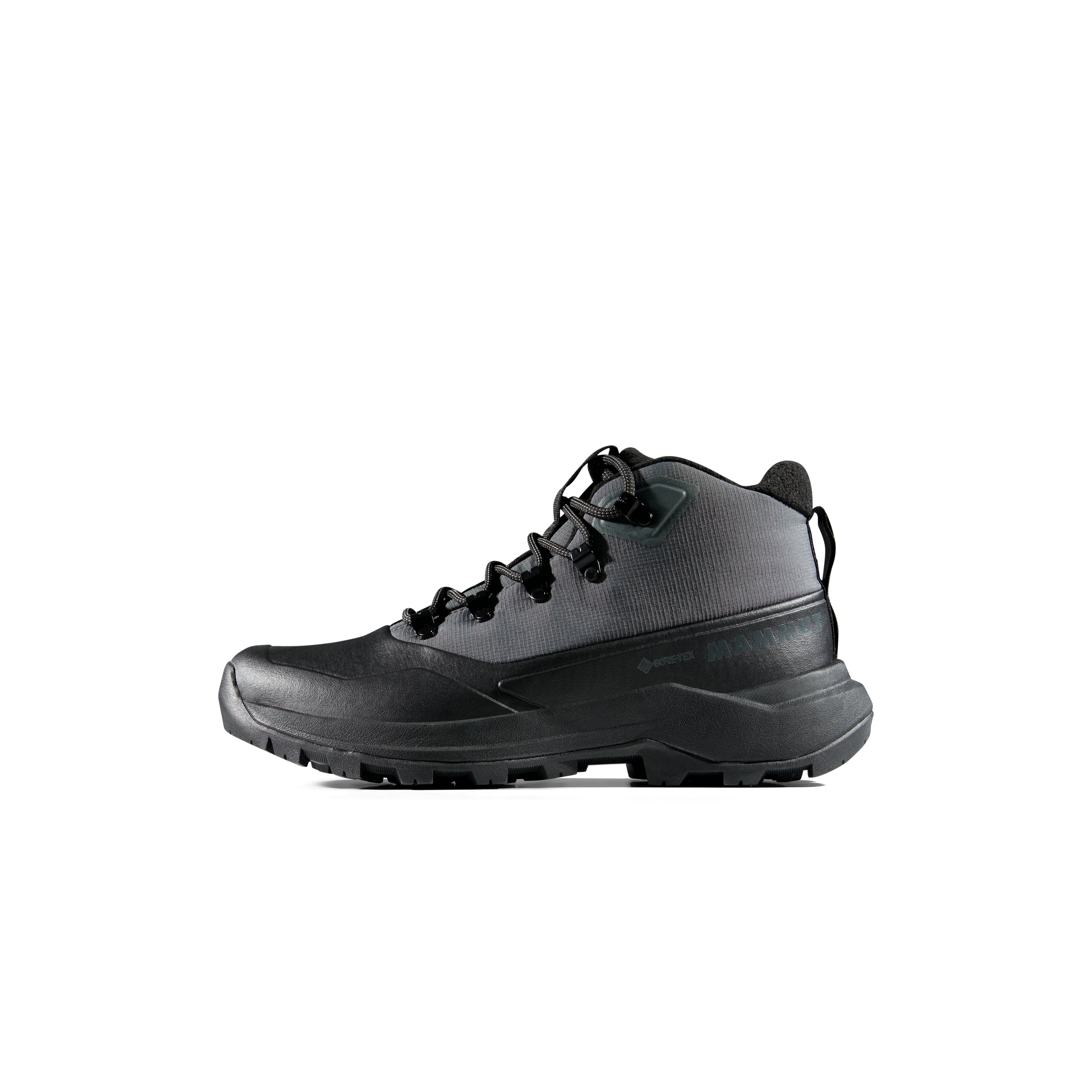
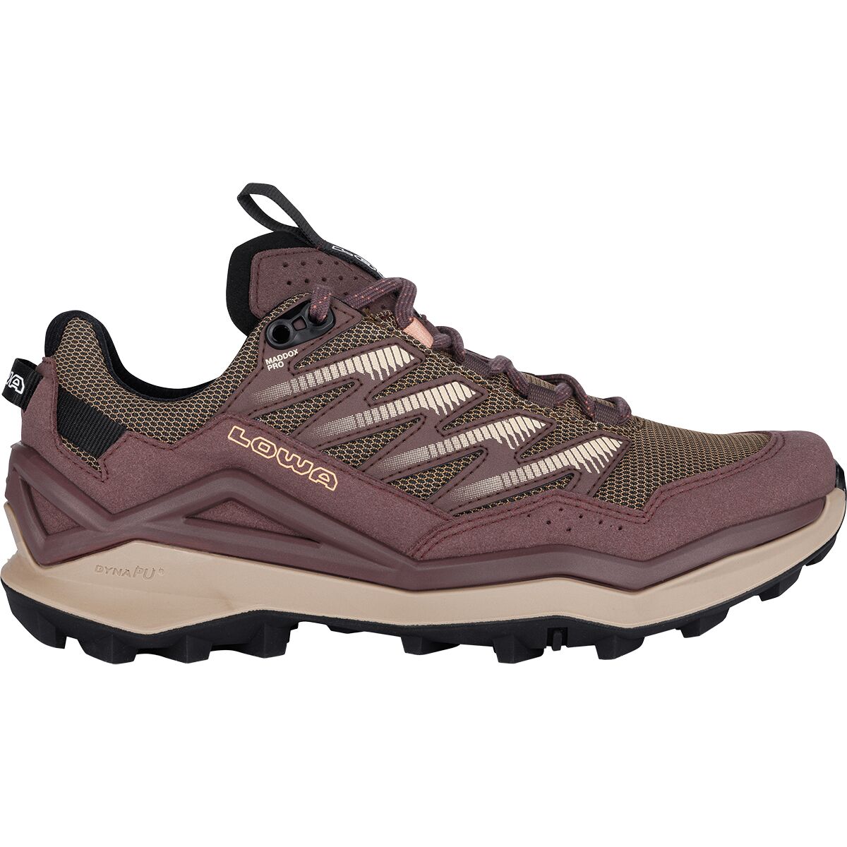
- LowaLowa Maddox Pro Lo Hiking Shoe – Women'sFrom $80.98
$194.95Check price at Back Country (opens in a new tab)
We may earn a commission if you buy through these links, at no extra cost to you. Affiliate disclosure
One Mile Up. A Real Hike Back Down.
First, know the numbers: the operating cities publish 2,768 steps and roughly 2,000 feet of elevation gain in under a mile. The steps vary in height, the gradient is punishing, and the trail has a false summit. Older references reporting 2,744 steps have not kept pace with the current city figure.
Second, the Incline is not a round-trip staircase hike. Descending the steps is prohibited. Plan a roughly three-mile return on Barr Trail after the climb, plus time to reach the trailhead from approved parking or the shuttle.
Third, a free reservation and a signed waiver are mandatory. Reservations open ahead of your visit through the City of Colorado Springs system; a 30-minute slot is your arrival window, not a time limit for finishing the climb. Check the current operating hours and any temporary closure notices the day before you go.
Book Your Manitou Incline Reservation Before You Travel.
The Incline itself is free. The required reservation lets the city manage demand, but parking is a separate decision. Reserve for every hiker and complete all waivers.
Open the city reservation portal.
Choose the Manitou Incline listing, then select your proposed hike date and available arrival window.
Add every hiker.
Enter full names, sign in or create an account, and complete a new waiver for each participant for this booking.
Finish checkout and save proof.
Complete the free checkout and retain your confirmation. There is no charge for trail entry.
Recheck before departure.
Verify no special-event, weather or maintenance closure. The city’s normal schedule is not a guarantee of access on every date.

Summer Hours
Published hours are 6 a.m. to 6 p.m. Choose your start time with heat, storms and your Barr Trail return in mind.
Winter Hours
Published hours are 6 a.m. to 3 p.m. Shorter daylight, snow and ice may change whether the trail is appropriate.
Reservations Open Monthly
The following month’s slots open on the first of the preceding month. Book early for popular morning slots; city FAQs also describe availability up to roughly eight weeks.
Park Legally, Ride the Shuttle and Save Your Legs for the Stairs.
A free trail reservation does not include a parking space. Parking and shuttle logistics can add meaningful time to an early-morning start.

Dillon Mobility Hub
134 Manitou Avenue is the city’s preferred parking option for Incline users, with 91 spaces and access to shuttle service. Parking is paid during posted enforcement hours; use the live city map for the current rate and any changes.
Hiawatha Gardens at 10 Old Man’s Trail is another designated option, with access to the free Route 33 shuttle. Shuttle times change seasonally and service may be altered in severe weather.
Do not park in Barr Lot for an Incline climb. That lot serves Barr Trail users; Ruxton Avenue and Winter Street also have residential restrictions. Do not cross Cog Railway property as a shortcut.
The Manitou Incline Is an Ascent-and-Return Hike, Not Just 2,768 Steps.
The short distance is misleading because the climb goes straight up an old rail grade. Treat the downhill route as part of the commitment, not an afterthought.
Steep and Uninterrupted
Uneven rail-tie steps, prolonged effort, exposure to sun and a false summit explain why the Incline feels unlike many Colorado hikes with similar total elevation gain. Set a pace you can sustain rather than racing the people beside you.
Follow Barr Trail Down
At the top, transition onto the signed Barr Trail return rather than descending the stairs. The descent has rocks, switchbacks and accumulated fatigue. Preserve water and daylight for it.


Do Not Let a One-Mile Label Convince You This Is a One-Mile Effort.
The reward is a memorable fitness challenge above Manitou Springs. The safest way to enjoy it is to start conservatively, protect your downhill legs and treat a bailout as a planning tool rather than a failure.
Use Time Ranges for Planning, Not a Stopwatch Target.
The city does not publish an official average finish time. The ranges below are conservative planning estimates; altitude, crowds, step condition, weather and fitness can move your day outside them.
| Hiker profile | Incline ascent planning range | Barr descent | Trail time to budget | Approach |
|---|---|---|---|---|
| Very fit / acclimated | ~45–75 min | ~60–80 min | ~2–2.5 hr | Still carry water and slow down if altitude or heat changes the effort. |
| Regular hiker | ~75–120 min | ~60–90 min | ~2.5–3.5 hr | A steady cadence with short breaks usually beats repeated hard surges. |
| First steep-stair objective | ~2+ hr | ~75–105+ min | ~3.5–5+ hr | Start early within permitted hours and be willing to use a signed bailout. |
The Grade Creates the Workout. Altitude Amplifies It.
The Incline begins above 6,000 feet and rises nearly 2,000 vertical feet very quickly. Visitors from lower elevations often discover that familiar gym intensity feels different in Colorado.
No Easy Cruising
A normal trail trades elevation for distance. The Incline compresses the climbing into a short, steep staircase, so there is little natural recovery between hard sections.
Cadence Constantly Changes
Step height varies. That places more demand on calves, quads, glutes and balance than a perfectly regular staircase.
Acclimatization Matters
If you just arrived from near sea level, allow time to adjust and reduce your pace. Fitness does not prevent altitude symptoms.
Train for Vertical Endurance—and Save Enough Legs for Barr Trail.
You do not need a mountain outside your door. What matters is gradually building sustained climbing, leg strength and the ability to descend after fatigue.
Build the Base
Two brisk 30–45 minute walks, one stair session of 20–30 minutes and two short strength sessions. Focus on step-ups, squats, calf raises and controlled split squats.
Increase Vertical Time
Build one stair or hill workout toward 35–50 minutes. Add one longer hike or 60–90 minute walk. Keep one strength session focused on legs and trunk stability.
Practice the Full Pattern
Complete one sustained 45–60 minute stair or hill session, then add controlled downhill walking. Taper volume during the final several days rather than cramming fitness.
You Are Preparing for the Return as Much as the Climb.
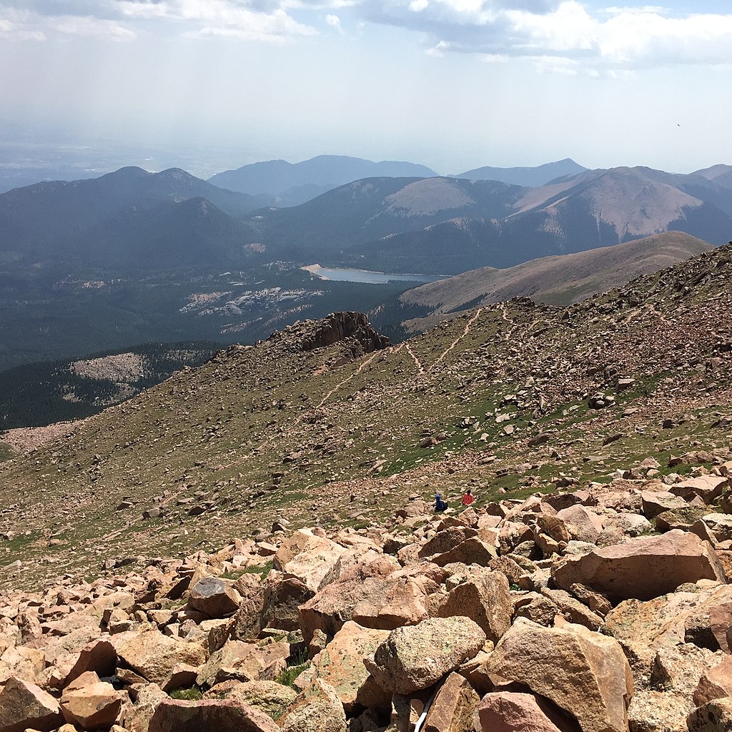
A strong stair-machine result is useful, but do not ignore the return trail. Descending after a hard climb can expose weak quads, poor footwear or sore knees. Build gradual downhill volume before your trip.
If your local terrain is flat, use stairs or an inclined treadmill for the ascent stimulus and controlled step-downs for eccentric leg strength.
Carry What Keeps a Short, Steep Hike From Becoming a Long Problem.
The Incline is not a technical climb. Good footwear, water, sun protection and one weather layer matter more than specialized mountaineering equipment.
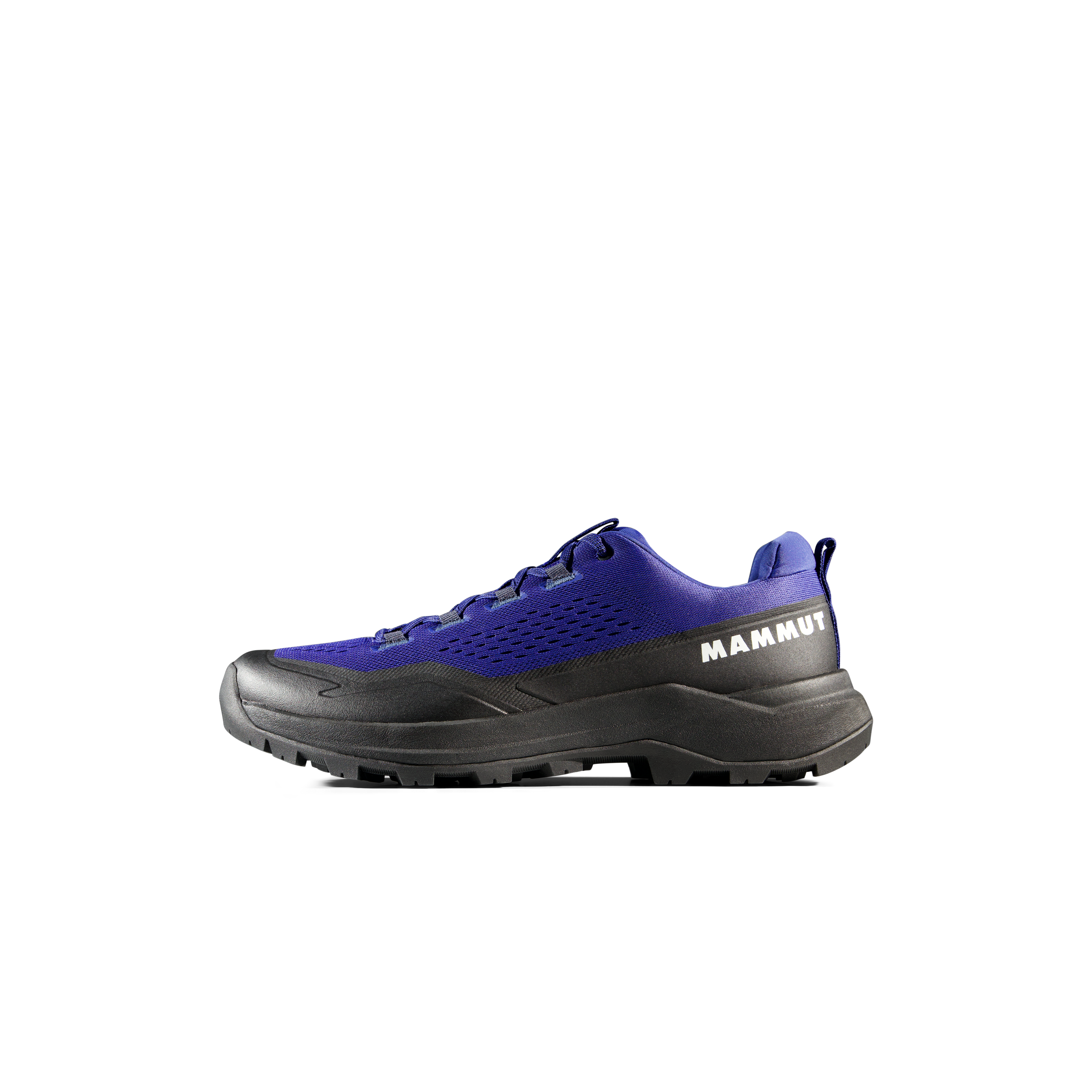
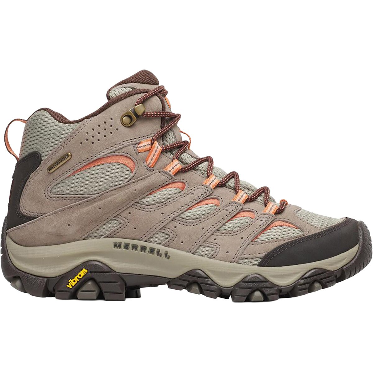
Trail Runners or Hiking Shoes
Use broken-in footwear with secure traction. The descent, not the steps, often reveals whether your shoes fit well.
Carry Your Own Water
There is no water on the route. Start hydrated and carry enough for the climb, descent and a slower-than-planned day.
Light Shell + Sun Layer
Colorado sun, wind, rapid cooling and summer storms justify a light protective layer even when the morning begins comfortably.
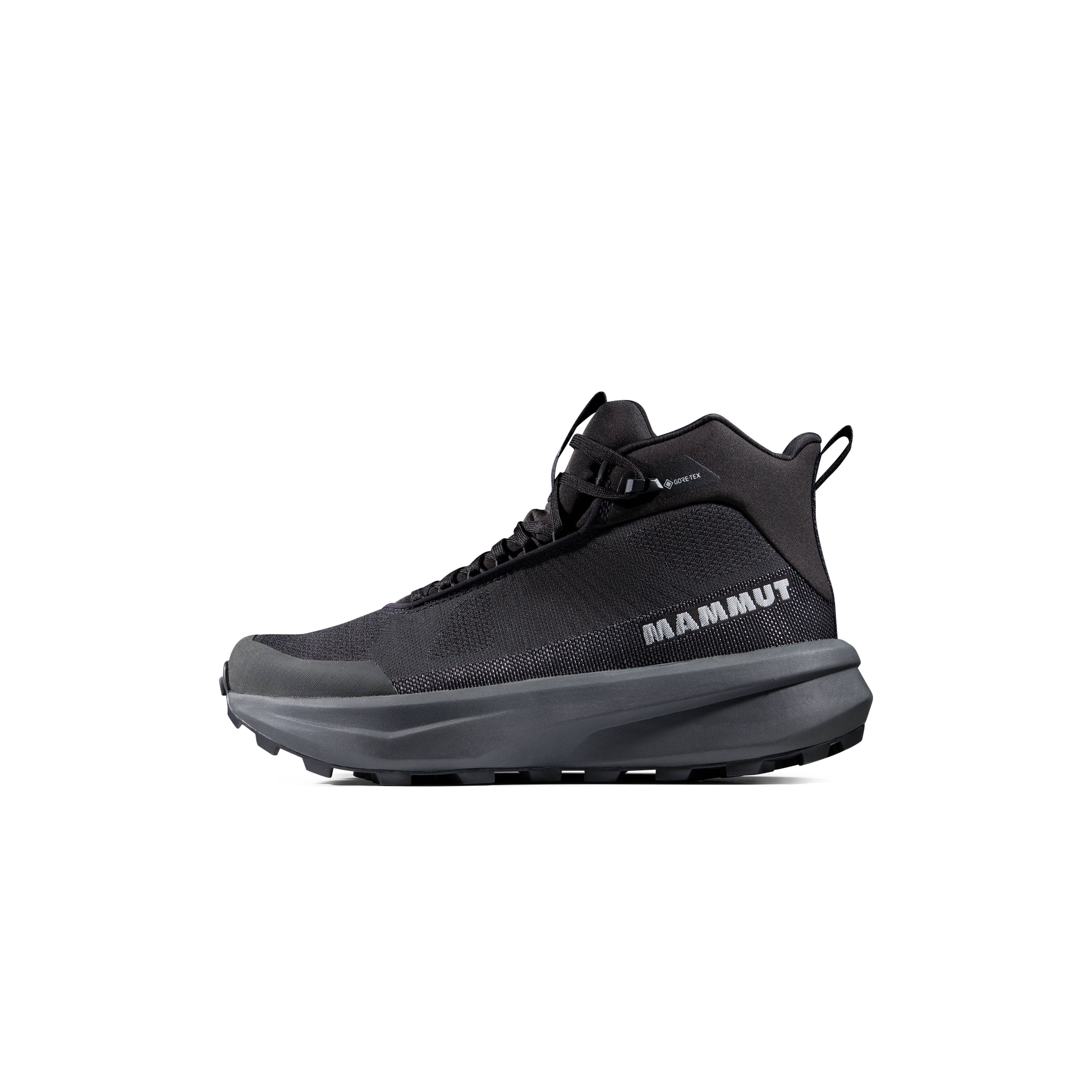
Manitou Incline & Barr Trail Gear

Choose Your Reservation Around Conditions, Not Just Availability.
The stairs stay steep in every season. Heat, lightning, snow and ice can turn a fitness challenge into a different risk problem.
Earlier Usually Gives More Margin
Heat and thunderstorms matter. Check the forecast immediately before departure and avoid remaining exposed if lightning becomes a concern.
Excellent Days, Fast Changes
Cool temperatures can be ideal, but wind, freeze-thaw ice and abrupt weather shifts make layers and traction judgment important.
Ice Changes the Hike
Traction may be appropriate when the route is icy. If conditions exceed your experience, use the reservation system again for another day.
Manitou Incline Map
Incline marker: approximately 38.85688, -104.93228.
The rail-grade staircase rises west of Manitou Springs toward Pikes Peak terrain. The normal return leaves the top via Barr Trail and descends on switchbacks to the trailhead area.
Use this map for orientation only. On your hike, follow current signed return routes and any temporary detours.
Three Skills That Matter Beyond the Stair Count
Use these supporting resources for the decisions the Incline itself cannot make for you.
Use the Incline as a Fitness Benchmark, Then Choose a Mountain Objective.
The Manitou Incline owns the staircase, reservation, parking and Barr Trail return intent. These pages take the next step into Colorado mountain planning.
Manitou Incline Questions
Short answers to the decisions hikers most often need to settle before arriving in Manitou Springs.
How many steps are on the Manitou Incline?
The current Colorado Springs and Manitou Springs figure is 2,768 steps. You may still see the older 2,744 count on legacy websites and trip reports.
Do you need a reservation for the Manitou Incline?
Yes. The City of Colorado Springs requires a free reservation and new signed waiver for each visit. Follow the official reservation page for availability and temporary closures.
How long does the Manitou Incline take?
There is no single official average. For planning, many fit hikers can complete the stairs in roughly one to two hours, while first-time or less-acclimated hikers may take longer. Add roughly another hour to 1.5 hours or more for the Barr Trail descent, plus parking and shuttle time.
Can you walk down the Incline steps?
No. Downhill use of the Incline steps is prohibited. Follow Barr Trail or another currently signed designated return route.
Is the Manitou Incline free?
Trail entry and the required reservation are free. Parking may cost money, and current rates should be checked through the City of Manitou Springs parking map.
Are dogs allowed?
No. Pets are prohibited on the Manitou Incline, including pets that could be carried in a backpack.
What are the operating hours?
The published schedule is 6 a.m.–6 p.m. from May 1 through October 31 and 6 a.m.–3 p.m. from November 1 through April 30. Special events, weather or maintenance may temporarily override the normal schedule.
What if I cannot finish the stairs?
Use a signed bailout. Current city information identifies connections near ties 396 and 1,300. Pay attention to current signs and do not create an unofficial shortcut.
Where should Incline hikers park?
The Dillon Mobility Hub at 134 Manitou Avenue is the city’s preferred Incline parking option and connects with shuttle Route 33. Hiawatha Gardens is another designated option. Barr Lot is not for Incline users.
Recheck the Official Sources Before You Go.
Parking rules, transit schedules and closures can change faster than an evergreen hiking guide. The official city pages below override this page if anything differs.
Planning sources checked Sep. 30, 2026
- City of Colorado Springs — Manitou Incline: step count, gain, reservation rules, hours, waiver, group limit, bailouts, no pets and no stair descent.
- City of Manitou Springs — Manitou Incline: parking guidance, trail preparation and return etiquette.
- Manitou Springs — parking locations and live rates.
- Mountain Metro — Manitou shuttle: current Route 33 service information.
Image credits
- Hero: Unsplash photo ID 1561064740-28362bb4497d; externally hosted.
- Base of the Manitou Incline — Ahodges7, CC BY-SA 3.0.
- Looking down from bailout — Ixbrian, CC BY-SA 4.0.
- Barr Trail bailout — Ixbrian, CC BY-SA 4.0.
- Before false summit — Ahodges7, CC BY-SA 3.0.
- Manitou Incline looking up — Jncraton, CC BY-SA 3.0 / GFDL.
- The Manitou Incline — Visitcos, CC BY-SA 4.0.
- Barr Trail — Mikey Lemoi, CC BY 2.0.
Was this helpful?
Global Summit Guide is an independent mountaineering resource founded in 2026. The team combines first-hand trekking and climbing experience with in-depth research and professional health and nutrition review to help climbers choose objectives, prepare properly, and stay safe.
Health, altitude, and nutrition content is reviewed by Taylor Ludlow (Registered Nurse) and Brigg Hoopes (Nutritionist).
What We Don't Know Yet
Mountain information changes quickly. This box explains the limits of what this page can responsibly promise.
- Visa, passport, vaccination, border, insurance, and local transportation rules may change before your trip.
- Route conditions, snowpack, closures, and weather can change quickly after this page is updated.
- Permit rules, fees, quotas, and reservation windows may change between review cycles.
- Operator availability, pricing, guide ratios, and cancellation terms can change by season.
- Your fitness, altitude response, risk tolerance, and experience level may change what is safe or realistic.
Verify current conditions with official land managers, guide services, local forecasts, and current route reports before booking or climbing.
Mountaineering, rock and ice climbing, glacier travel, and high-altitude activity are inherently dangerous and can result in serious injury or death. The information on Global Summit Guide is provided for general informational and educational purposes only and is not a substitute for professional instruction, qualified guiding, proper equipment, or your own judgment and experience.
Route conditions, weather, snowpack, permits, regulations, and hazards change constantly and may differ from what is described here. Details may be incomplete, out of date, or contain errors. Always verify current information with local authorities, certified guides, and official sources before making any decision in the mountains.
Nothing on this site is medical, legal, or financial advice. Our fitness, acclimatization, altitude, and nutrition content is general in nature; consult a qualified physician before beginning any strenuous exercise program or exposing yourself to high altitude.
You are solely responsible for your own safety and decisions. To the fullest extent permitted by law, Global Summit Guide and its team accept no liability for any loss, injury, damage, or expense arising from use of, or reliance on, this information. By using this site you acknowledge these risks and accept these terms.
Some links on this site may be affiliate links. If you buy through them we may earn a small commission at no extra cost to you; this never affects our recommendations.
Global Summit Guide recommendation path
Next Best Mountain to Research
Use these recommendations to continue the right planning path instead of stopping on one page.
Use current permit, weather, route, and operator information before booking or climbing.
Leave a Reply