
Last updated September 17, 2026
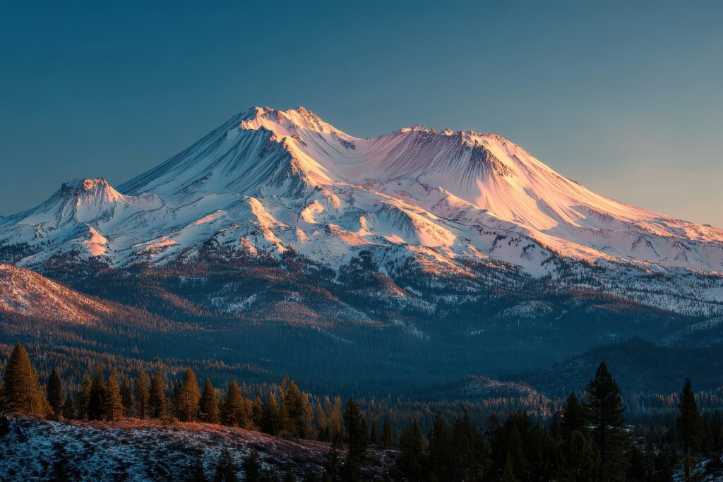
Mount Shasta Summit Success Rate: What the Data Actually Shows
There is no current audited mountain-wide Mount Shasta summit-success percentage that Global Summit Guide can verify. Summit passes tell us who is authorized to travel above 10,000 feet; they do not create a complete public record of who actually attempted the summit and who reached it. For Shasta, route conditions, season, snow coverage, weather and climber skill are more defensible planning variables than a precise-looking percentage with no auditable denominator.
A Precise Mount Shasta “Success Rate” Is Less Reliable Than It Looks.
Global Summit Guide’s earlier version of this page published figures such as 58% overall, 74% guided and 48% independent. After re-auditing the source chain, those values cannot be reproduced from a current public Forest Service or Mount Shasta Avalanche Center dataset that records both attempts and successful summits.
The corrected answer is therefore not another percentage. It is: no audited mountain-wide figure is available from the current public sources reviewed here. Operator outcomes can describe a specific company or trip. Permit counts can describe access above 10,000 feet. Neither should be silently converted into a universal summit probability.
Five Different Numbers Get Mistaken for “Success Rate Data.”
Before using any Mount Shasta percentage, ask exactly who is being counted and how a summit is verified.
| Dataset or claim | What it actually counts | Can it produce a mountain-wide summit rate? | How to use it |
|---|---|---|---|
| Summit pass sales | People purchasing access above 10,000 ft | No — purchase does not verify a summit | Estimate high-mountain use and administrative volume. |
| Wilderness permits / visitors | People entering Mount Shasta Wilderness | No — many are not summit climbers | Measure broader wilderness visitation. |
| Guide-company outcomes | Clients on one operator’s programs | No — cohort is selected and itinerary-specific | Evaluate that exact program if denominator and dates are published. |
| SAR / accident records | Rescue and incident cases | No — failures without rescue are missing | Understand hazard patterns, not summit probability. |
| Avalanche Center route reports | Snow, weather and hazard conditions | No — no outcome denominator | One of the best sources for deciding whether conditions favor an attempt. |
Mount Shasta Is One Mountain With Very Different Seasonal Problems.
Avalanche Gulch on the southwest side is the classic route, but late-season Clear Creek and the north-side glacier routes create different climber populations and hazards.
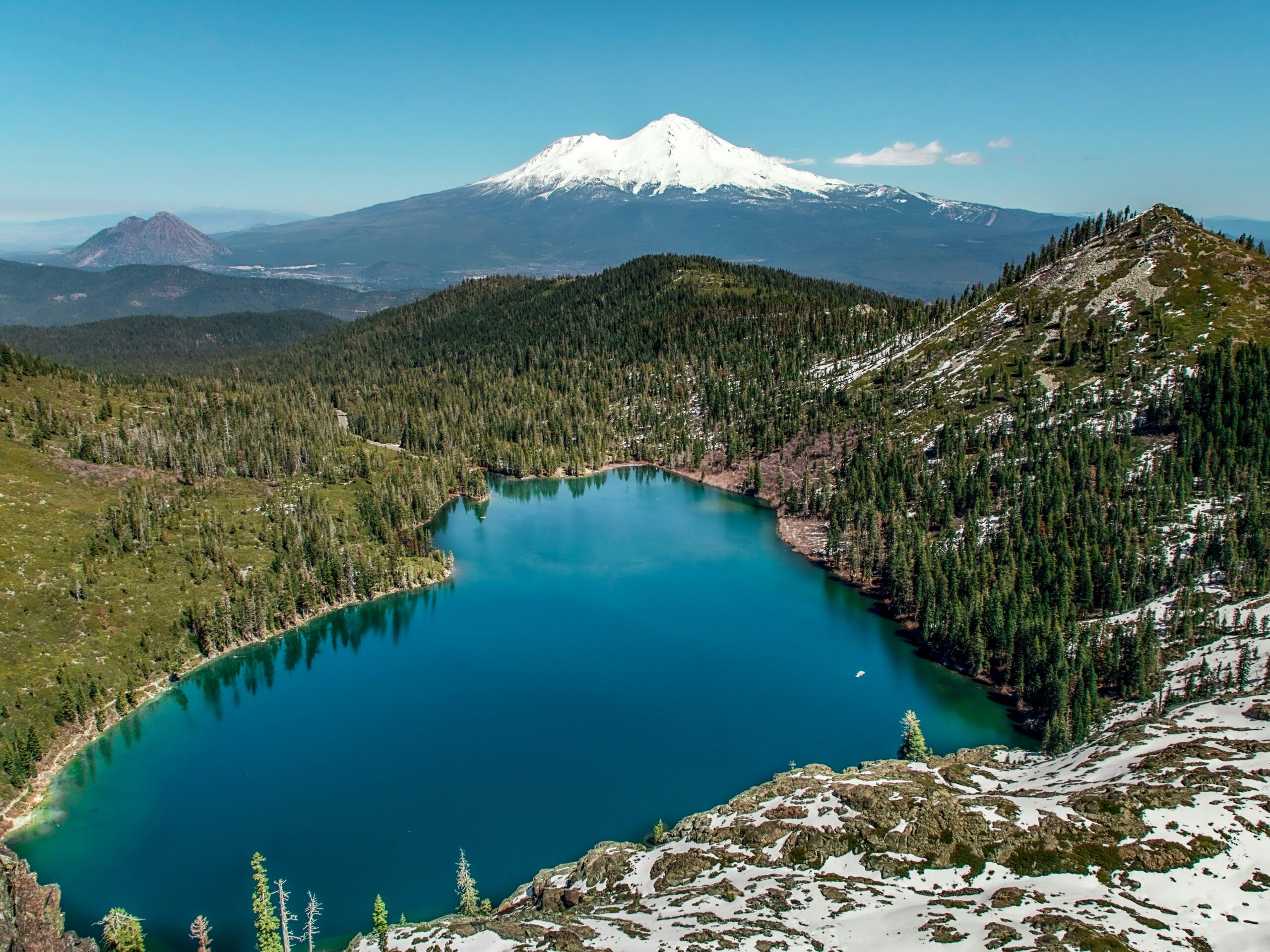
On Shasta, the Mountain Can Change Faster Than the Statistics.
The Avalanche Center’s advice is consistently seasonal: climb while snow coverage is useful, expect rockfall to grow as the mountain melts out, and treat current weather and surface conditions as the authority for the day.
Mount Shasta Has Use Data—Just Not a Verified Summit-Outcome Database.
The strongest historical Forest Service figures are useful when they are labeled accurately.
~6,586 Summit Attempts
A Forest Service recreation study estimated roughly 6,586 people per year attempting Mount Shasta based on summit passes sold. Because a summit pass is required above 10,000 feet, this is a useful high-mountain-use estimate—but not a verified count of summit-day starts or summits.
~15,000 Wilderness Visitors
The same study reported approximately 15,000 annual Mount Shasta Wilderness visitors in the 2005–2012 record. That larger number includes people who were not attempting the summit.
$25 Above 10,000 Feet
The Forest Service currently requires the standard Mount Shasta Summit Pass for travel above 10,000 feet. It costs $25 per person and is valid for up to three days; an annual $30 pass is another option.
Five Things Matter More Than an Unsupported Success Percentage.
These factors appear repeatedly in official Mount Shasta route and condition guidance and can be checked before the climb.
Useful Snow Coverage
Avalanche Gulch is normally best while spring snow still covers loose volcanic terrain.
Firm Snow vs Rockfall
Hard snow creates long-fall hazard; melting snow exposes unstable rock. Both require different decisions.
Ice Axe + Crampons
Official guidance repeatedly emphasizes real self-arrest and crampon competence, not gear ownership alone.
Wind, Cloud, Storms
Whiteout and strong wind can turn a straightforward route into a navigation problem quickly.
Turn Around Early
The Avalanche Center repeatedly tells climbers not to push into deteriorating weather or conditions.
Avalanche Gulch Is Not the Same Climb in May and August.
The Mount Shasta Avalanche Center’s route guidance is far more defensible than assigning a monthly summit percentage without audited outcomes.
| Window | Avalanche Gulch character | What official guidance emphasizes | What it means for “success rate” claims |
|---|---|---|---|
| April–early May | Early-season snow climb | Weather, avalanche conditions, firm surfaces, winter skill | Different and more experienced climber cohort. |
| Mid-May–June | Classic spring snow climb | Good snow coverage, crampons, ice axe, early climbing | The most useful period for standard-route planning. |
| Early–mid July | Rapid transition | Increasing rockfall as snow melts | Conditions can deteriorate sharply within weeks. |
| Late July–September | Often poor Avalanche Gulch conditions | Loose terrain, rockfall, alternate routes such as Clear Creek | Pooling these attempts with spring attempts hides a major condition change. |
| Winter | Serious alpine/winter objective | Avalanche hazard, storms, cold, advanced judgment | Should not be treated as the same population as spring recreational climbers. |
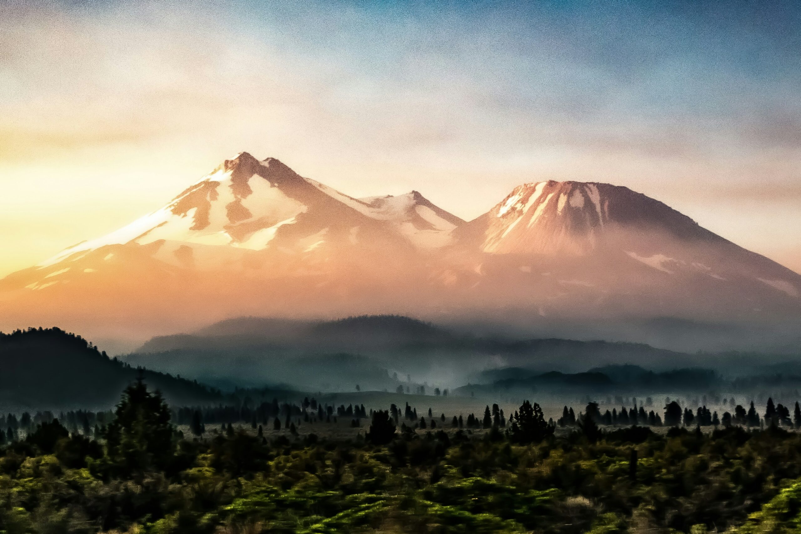
One Guide Company’s Strong Trip Does Not Become Mount Shasta’s Mountain-Wide Rate.
Guides can improve instruction, pacing, route knowledge and decision-making. But unless operators publish comparable denominators across the same years and route conditions, their outcomes should remain operator-specific rather than being merged into one invented “guided success rate.”
We Can Explain the Structural Difference Without Inventing 74% vs 48%.
Mount Shasta is unusually accessible for independent climbing, while the Forest Service also permits three commercial guide services.
Instruction + Local Condition Knowledge
- Structured ice-axe and crampon instruction.
- Route and snow-condition knowledge from repeated trips.
- Established pacing and turnaround systems.
- Program design that can add acclimatization and skills time.
- Shasta Mountain Guides explicitly says its three-day program is designed for better summit success than faster two-day trips.
Flexibility—If the Skills Already Exist
- No quota-based guided requirement.
- Ability to move dates around weather and snow conditions.
- Lower direct trip cost.
- Climber must independently handle route finding, self-arrest, crampons, weather and turnaround decisions.
- Current route bulletins should drive decisions, not old trip reports.
Why One Permanent Success Percentage Fails on Mount Shasta
The latest Mount Shasta Avalanche Center climbing update available during this review shows how radically the mountain can change within one season. This snapshot is intentionally dated and should not be carried into a future climb.
What the Old Mount Shasta Page Got Wrong
This rebuild follows the same denominator-first standard now used by the Summit Success Rates hub and Mountaineering Truth Project.
| Old claim | Problem | Correct treatment now |
|---|---|---|
| 58% overall success | No reproducible public numerator/denominator identified | No audited mountain-wide rate published. |
| 74% guided / 48% independent | Comparable cohort datasets were not shown | Discuss guided structural advantages without inventing percentages. |
| 61% Avalanche Gulch / 55% Casaval / 42% technical | Per-route summit-outcome dataset not reproducible | Compare route character and season instead. |
| 36% weather / 28% exhaustion / 22% technical… | Turnaround-reason distribution not found in current official data | List documented hazards without false shares. |
| 1 in 65 rescued / 1 in 380 fatality | Denominators and time window unclear | Use documented incidents as case evidence, not a personal risk rate. |
| ~15,000 annual permits | Conflated broader Wilderness visitation with summit attempts | Historical study: ~15,000 Wilderness visitors vs ~6,586 pass-based summit attempts. |
Use a Source for What It Actually Measures.
The source hierarchy separates official permits and route conditions from operator marketing and from Global Summit Guide’s own interpretation.
Primary external sources
- U.S. Forest Service — Mount Shasta permits and guide services
- U.S. Forest Service — historical Mount Shasta recreation-use study
- Mount Shasta Avalanche Center — climbing FAQ and season guidance
- Mount Shasta Avalanche Center — route descriptions
- Mount Shasta Avalanche Center — September 10, 2026 conditions
- Shasta Mountain Guides — three-day expedition program
Global Summit Guide evidence standard
- Summit Success Rates Hub — denominator-first comparison
- Mountaineering Truth Project — evidence and uncertainty framework
- Mountaineering Disasters — incident-level evidence without turning events into universal odds
- Causes of Mountaineering Deaths — why hazards need population and activity context
Research rule: a success rate requires both a defensible numerator and denominator from the same source system. If only permits, visitors, guide clients or rescue cases are available, label them as such instead of manufacturing a universal percentage.
Mount Shasta Summit Success FAQ
The goal is to answer the search query without pretending the public data is more complete than it is.
What is the Mount Shasta summit success rate?
There is no current audited mountain-wide percentage that Global Summit Guide can verify. Summit passes show access above 10,000 feet, not verified summit outcomes.
Is the often-quoted 50–60% rate official?
No official current Forest Service or Mount Shasta Avalanche Center source located in this review publishes a mountain-wide 50–60% summit-success statistic with an auditable numerator and denominator.
How many people attempt Mount Shasta?
A historical Forest Service recreation study estimated about 6,586 annual summit attempts based on summit-pass sales. It separately reported roughly 15,000 annual Wilderness visitors.
What is the best time for Avalanche Gulch?
The Mount Shasta Avalanche Center says the best conditions usually occur from mid-May through mid-July, with useful snow coverage normally lasting through early July.
Does a guide improve summit chances?
A guide can improve instruction, pacing, condition knowledge and turnaround decisions. Comparable audited operator percentages are not publicly standardized, so this page does not invent a guided-vs-independent rate.
What most often prevents a summit?
Official guidance repeatedly emphasizes poor weather, hard snow and long-fall hazard, rockfall, route finding, avalanche conditions, cold and inadequate skills. Exact shares of failed summits by cause are not published in a current audited dataset.
Is Avalanche Gulch always the right route?
No. It is strongest in its spring snow window. As snow melts and rockfall increases, Clear Creek can become a more practical late-season choice.
How should I use summit-rate claims?
Ask for the source, years, route and denominator. If a rate is based on one operator, it describes that operator’s clients. If it is based on passes, it does not automatically describe successful summits.
Continue From the Number to the Actual Climbing Decision
Use the Shasta cluster for route and conditions, then the research hubs for methodology, risk and incident context.
For Mount Shasta, “No Audited Rate” Is More Useful Than a Precise Number We Cannot Defend.
Pick the right season. Check current snow and weather. Bring real snow-climbing skills. Turn around when the mountain changes. Those decisions are measurable, current and actionable in a way an unsupported 58% never was.
Mount Shasta: Plan the Whole Climb
Permits, routes, difficulty, weather and logistics all decide the day. Start with the main guide, then go deeper below.
Was this helpful?
🏔Related safety data
🧭Explore & compare
Global Summit Guide is an independent mountaineering resource founded in 2026. The team combines first-hand trekking and climbing experience with in-depth research and professional health and nutrition review to help climbers choose objectives, prepare properly, and stay safe.
Health, altitude, and nutrition content is reviewed by Taylor Ludlow (Registered Nurse) and Brigg Hoopes (Nutritionist).
What We Don't Know Yet
Mountain information changes quickly. This box explains the limits of what this page can responsibly promise.
- Fitness and altitude response vary by person; no guide, itinerary, or training plan can guarantee acclimatization or summit success.
- Visa, passport, vaccination, border, insurance, and local transportation rules may change before your trip.
- Route conditions, snowpack, closures, and weather can change quickly after this page is updated.
- Permit rules, fees, quotas, and reservation windows may change between review cycles.
- Operator availability, pricing, guide ratios, and cancellation terms can change by season.
Verify current conditions with official land managers, guide services, local forecasts, and current route reports before booking or climbing.
Mountaineering, rock and ice climbing, glacier travel, and high-altitude activity are inherently dangerous and can result in serious injury or death. The information on Global Summit Guide is provided for general informational and educational purposes only and is not a substitute for professional instruction, qualified guiding, proper equipment, or your own judgment and experience.
Route conditions, weather, snowpack, permits, regulations, and hazards change constantly and may differ from what is described here. Details may be incomplete, out of date, or contain errors. Always verify current information with local authorities, certified guides, and official sources before making any decision in the mountains.
Nothing on this site is medical, legal, or financial advice. Our fitness, acclimatization, altitude, and nutrition content is general in nature; consult a qualified physician before beginning any strenuous exercise program or exposing yourself to high altitude.
You are solely responsible for your own safety and decisions. To the fullest extent permitted by law, Global Summit Guide and its team accept no liability for any loss, injury, damage, or expense arising from use of, or reliance on, this information. By using this site you acknowledge these risks and accept these terms.
Some links on this site may be affiliate links. If you buy through them we may earn a small commission at no extra cost to you; this never affects our recommendations.
Global Summit Guide recommendation path
Next Best Mountain to Research
Use these recommendations to continue the right planning path instead of stopping on one page.
Use current permit, weather, route, and operator information before booking or climbing.