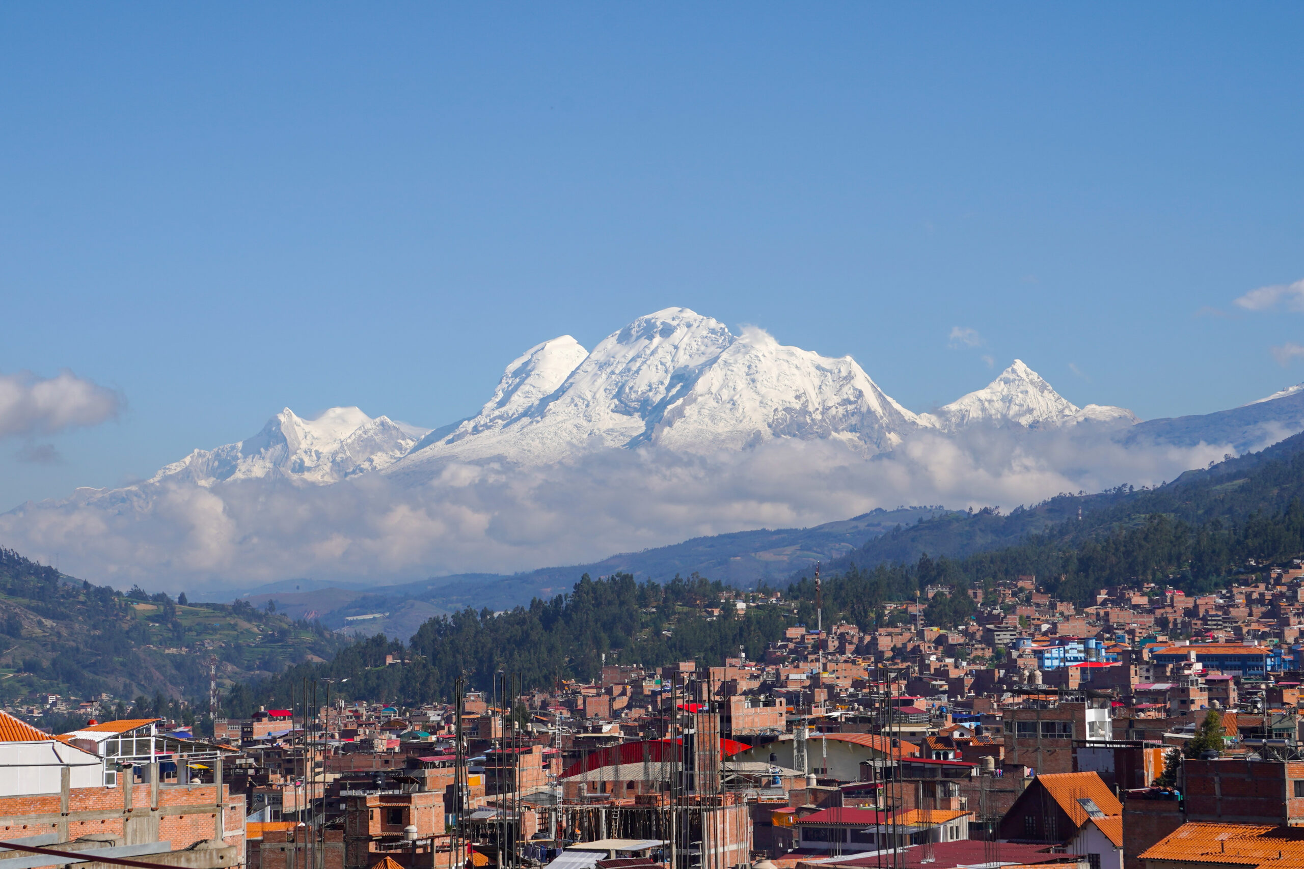
Huascaran: the roof of the tropics, and the mountain that buried a city
Nevado Huascaran is the highest peak in Peru and the highest point in the Earth’s tropics, the crown of the Cordillera Blanca. It is a serious glacier climb by the La Garganta route, not a trekking peak, and it carries one of the deadliest disasters in mountain history. This update covers the route, the 1970 avalanche, the fast-retreating glacier, and an honest readiness view. Heights in metres (feet).
Updated 27 July 2026 · Compiled by Travis Ludlow · Safety review by Dawson Ludlow · Medical review by Taylor Ludlow, RN
Single-mountain expedition update, compiled from park authority and USGS records, operator route and pricing information, and published mountaineering history. Our team has not climbed Huascaran; the only first-hand summit anyone on our team claims is Kilimanjaro. This is a planning briefing for experienced climbers, not a how-to and not a substitute for training or a guide.
Peru’s highest peak, and a serious glacier climb.
Huascaran is the roof of Peru and of the Earth’s tropics, the crown of the Cordillera Blanca. Its normal route, La Garganta, is a glaciated climb of crevasses, seracs, and icefall rated around PD-plus to AD-minus – popular, but not a trek. Its summit is among the farthest points on Earth’s surface from the planet’s center, a quirk of the equatorial bulge. And its history holds one of the deadliest avalanche disasters ever recorded.
- Standard route: La Garganta, from Musho.
- Grade: PD-plus to AD-minus, conditions-dependent.
- Highest in Peru and the Earth’s tropics.
- 1970: an avalanche off the peak buried Yungay.
- Now: a fast-retreating glacier reshaping the route.
On this page
What Huascaran involves
A popular but serious glaciated climb, high and cold, on a mountain whose ice is changing fast.
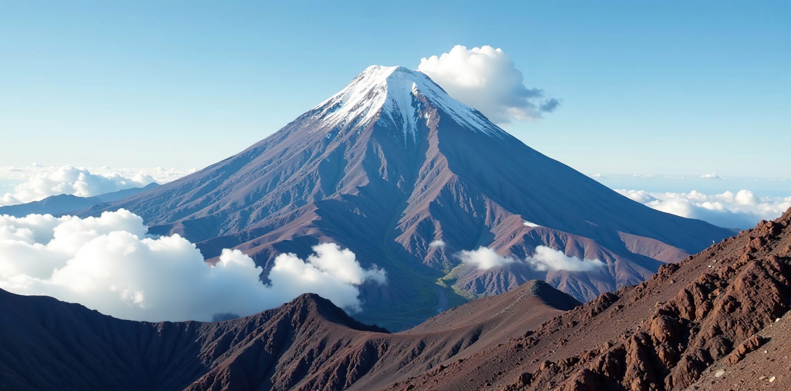
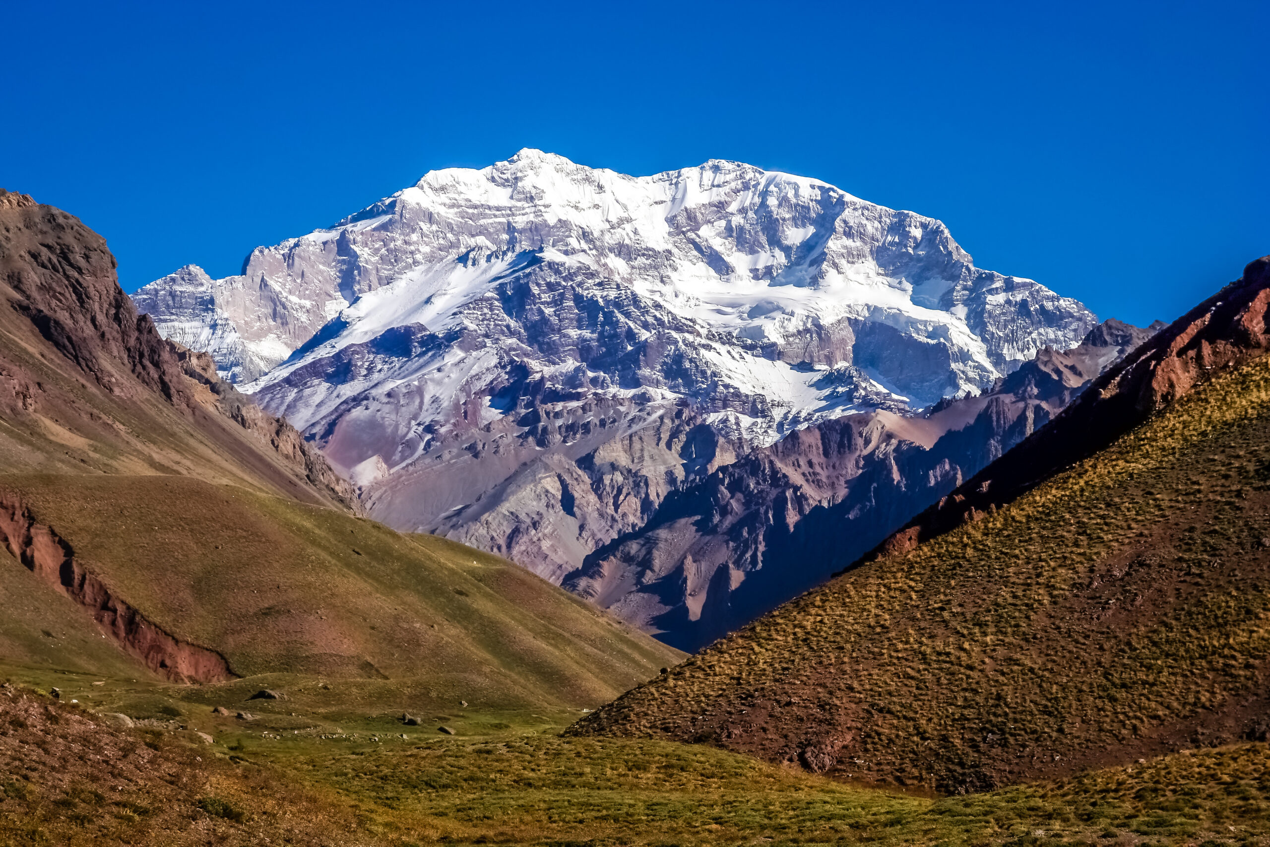
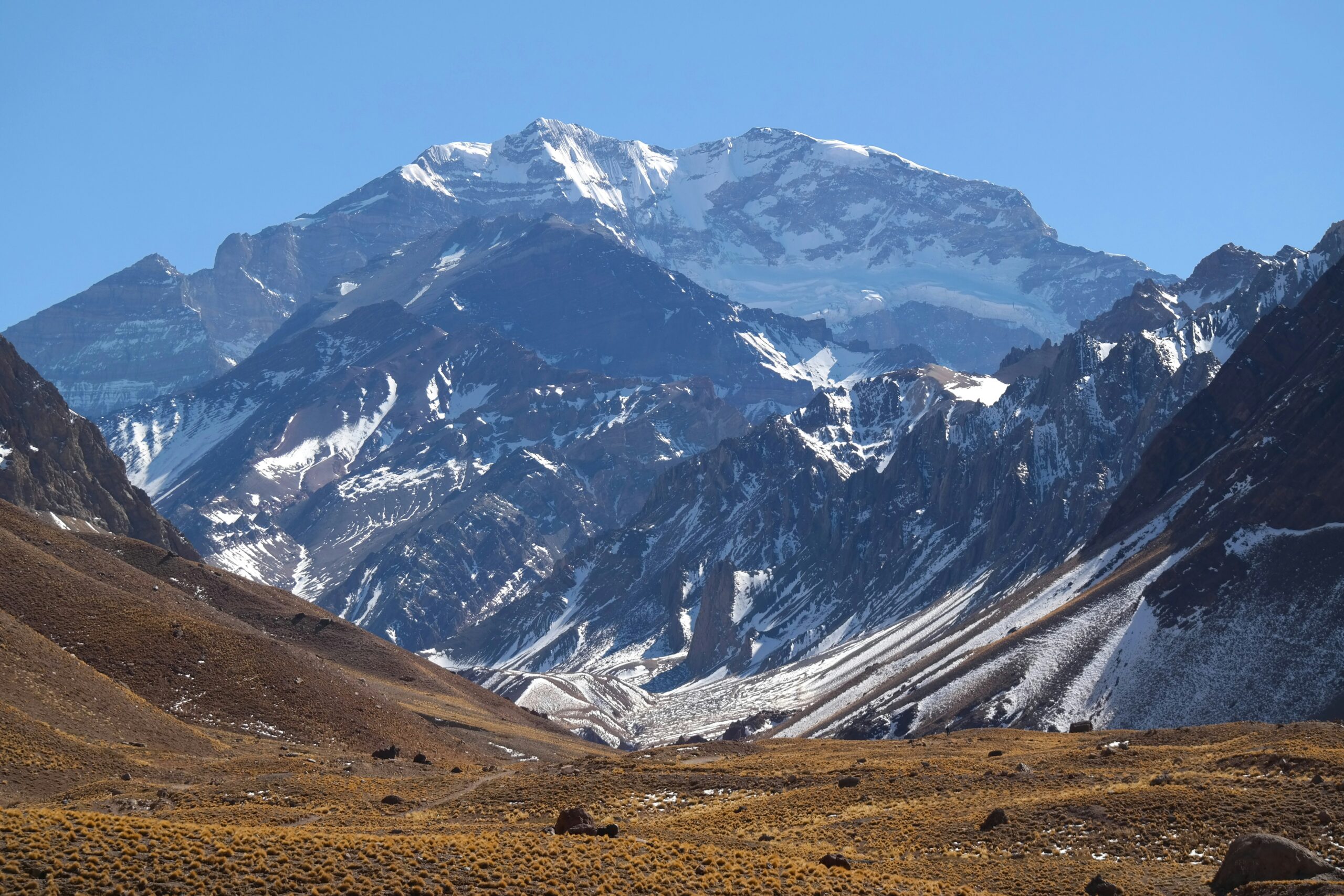
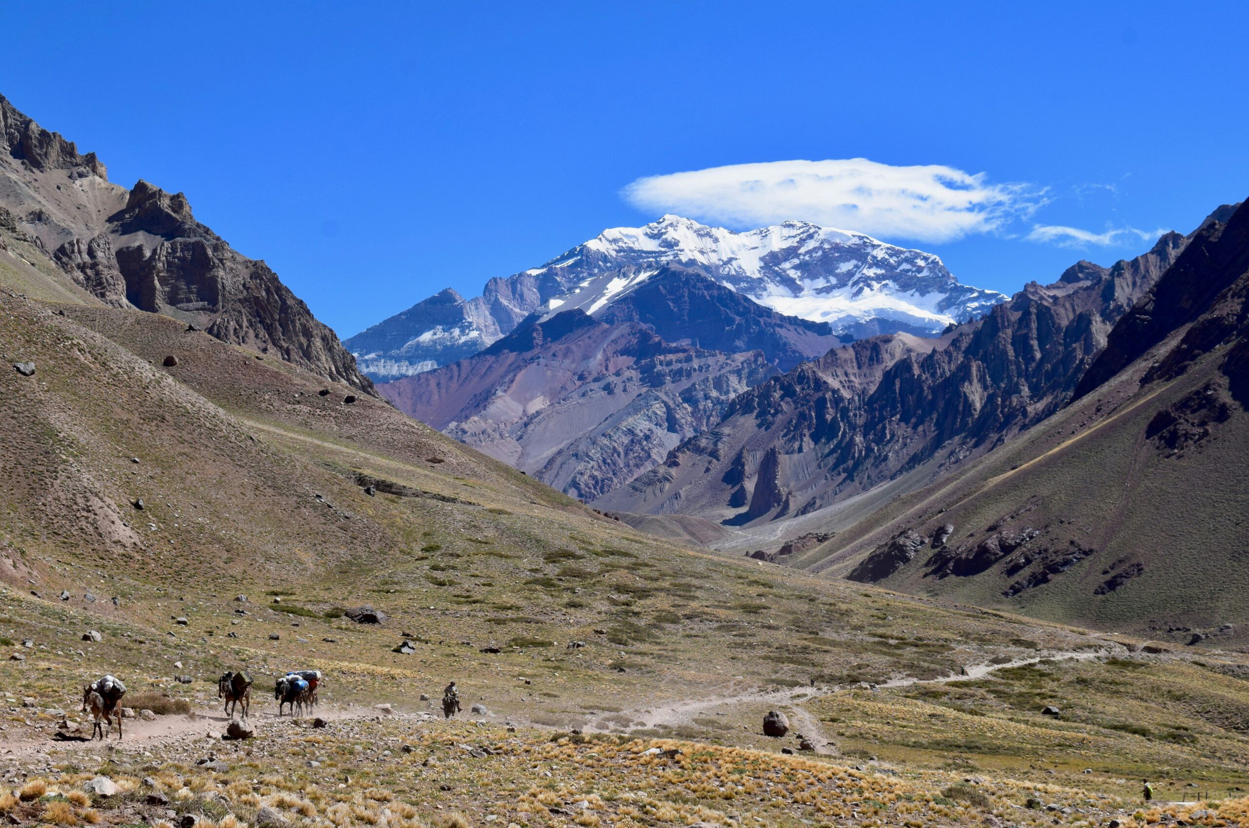
Nevado Huascaran stands 6,768 m above the Cordillera Blanca in Peru’s Ancash region, the highest mountain in the country and the highest point in the Earth’s tropics. It has two summits, the higher Sur and the lower Norte, separated by a col called La Garganta, the Throat. After Aconcagua, it draws more climbers than any other of South America’s very highest peaks, thanks to a reasonable approach and a normal route that is straightforward by the standards of a 6,768 m glaciated giant.
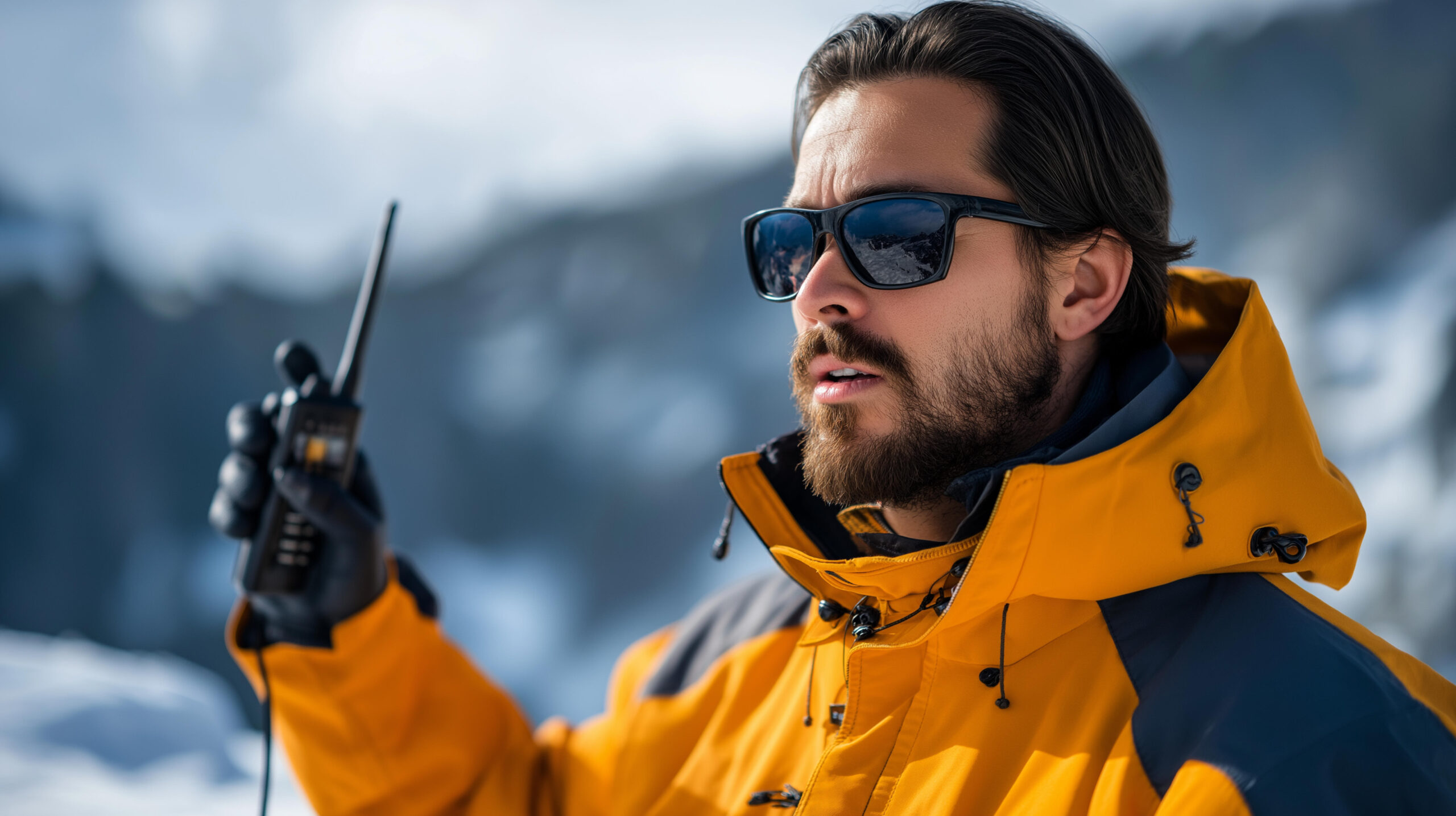
Straightforward, though, is relative. The La Garganta route is a real glacier climb, rated around PD-plus to AD-minus, with large crevasses, seracs, an active icefall below the col, and short ice sections up to about 60 degrees. Nights above the col fall below -25 C, and morning cloud can bring white-outs near the top. Most climbers acclimatize first on smaller Cordillera Blanca peaks. For the full route, camps, park fee, and cost, see our Huascaran climb guide.
The 1970 disaster, and the retreating glacier
Huascaran’s beauty is inseparable from its danger, both to the climbers on it and the valleys below.
On 31 May 1970, the Ancash earthquake shook a vast mass of rock, ice, and debris off Huascaran’s north peak. It swept down about 14.5 km and buried the town of Yungay and part of Ranrahirca. On the order of 18,000 people died, and only a few hundred in Yungay survived, by running uphill to a cemetery. It is one of the deadliest avalanche disasters ever recorded, and it remains a defining part of the mountain’s story, memorialized at the buried town’s site.
That collapse was triggered by a major earthquake, which is rare. The everyday hazard now is different: the Cordillera Blanca is losing its glaciers quickly. On Huascaran, the icefall below La Garganta has grown more active over the years, crevasses open and shift, and the classic col camp has been struck by icefall in the past. For a climber, the practical lesson is that the route is not a fixed thing. It changes year to year, and a guide who knows this season’s glacier is worth more than any historical description.
The route is not fixed
Do not plan Huascaran from an old topo. Ask your operator about the current state of the icefall and crevasses, because the retreating glacier reshapes the La Garganta route and its hazards from one season to the next.
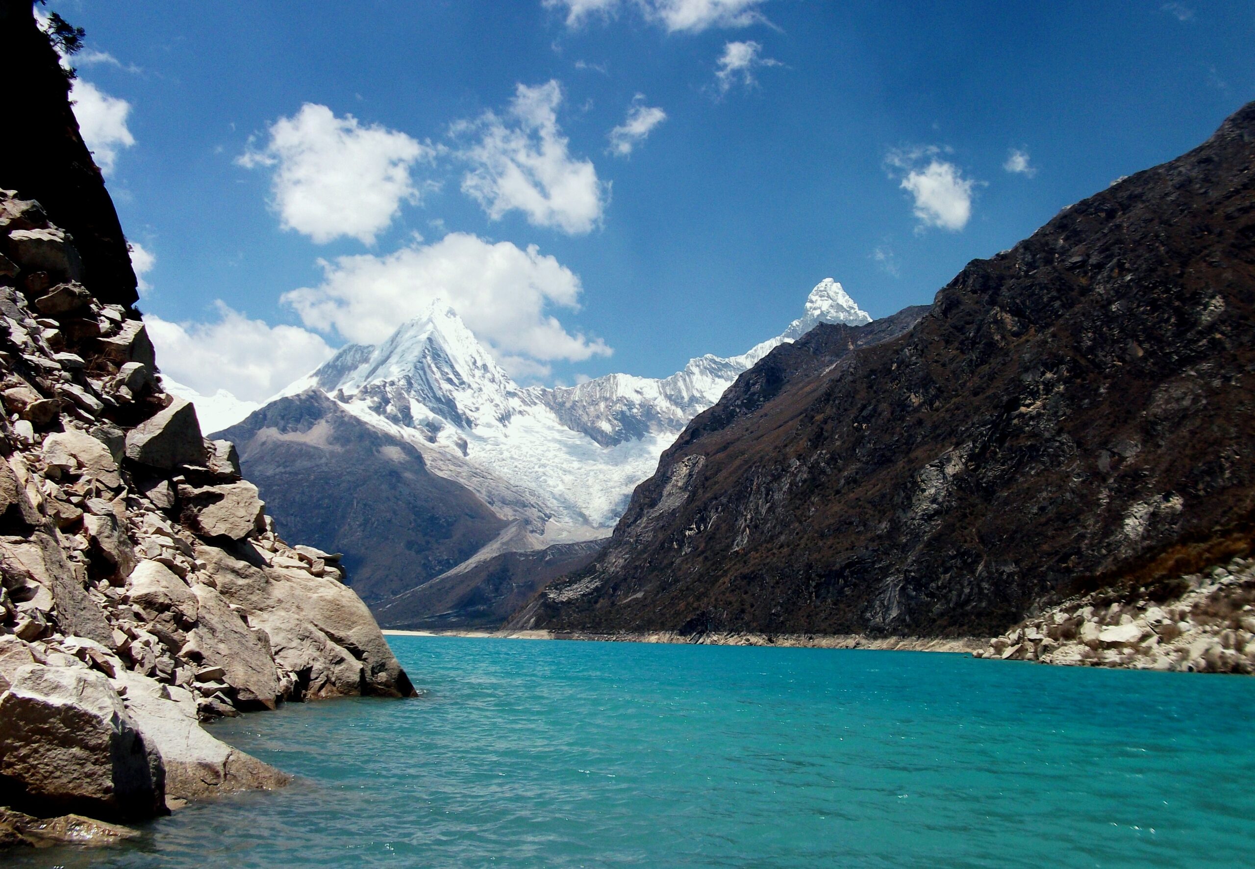
The mountain that buried a city
Above the green valleys of Ancash, Huascaran’s ice has twice fallen catastrophically on the towns below, in 1962 and again, far worse, in 1970. The beauty and the danger are the same mountain. Every climber on the La Garganta route moves through the living, shifting ice that makes this range as hazardous as it is magnificent.
Are you ready for Huascaran?
It is a reasonable step up for climbers with glacier experience, but it is not a first mountain. These are the prerequisites.
Rope, Axe, Crampons
You must be fluent on a glaciated peak: crampon technique, roped travel, and crevasse rescue are prerequisites, not skills to learn here.
Evidence: prior glaciated summits.Acclimatized For 6,768 m
This is a high, cold peak. Arrive properly acclimatized, usually on smaller Cordillera Blanca peaks first, and strong for long summit days.
Evidence: prior time above 5,000 m.Read The Ice
Seracs, icefall, and shifting crevasses are the real risks. Timing and route choice through them is a survival skill.
Evidence: sound decisions on live glaciers.Know This Year’s Route
The glacier changes fast. A guide who knows the current ice, not the old topo, matters more here than on a stable route.
Evidence: a guide climbing it this season.| Requirement | Baseline | Why it matters |
|---|---|---|
| Glacier competence | Fluent crampon, rope, and rescue skills | The route is crevassed, seraced, and steep in places. |
| Altitude record | Acclimatized, prior time above 5,000 m | At 6,768 m the thin air punishes the underprepared. |
| Fitness | Strong for long glacier summit days | Summit day is long, cold, and cumulative after the approach. |
| Hazard judgment | Comfortable reading icefall and seracs | Objective hazard, not technical grade, is the main danger. |
| Acclimatization plan | Warm-up peaks built into the trip | Pisco, Ishinca or similar prepare the body before Huascaran. |
| Guiding | A guide who knows the current glacier | Route and hazard change year to year with the retreating ice. |
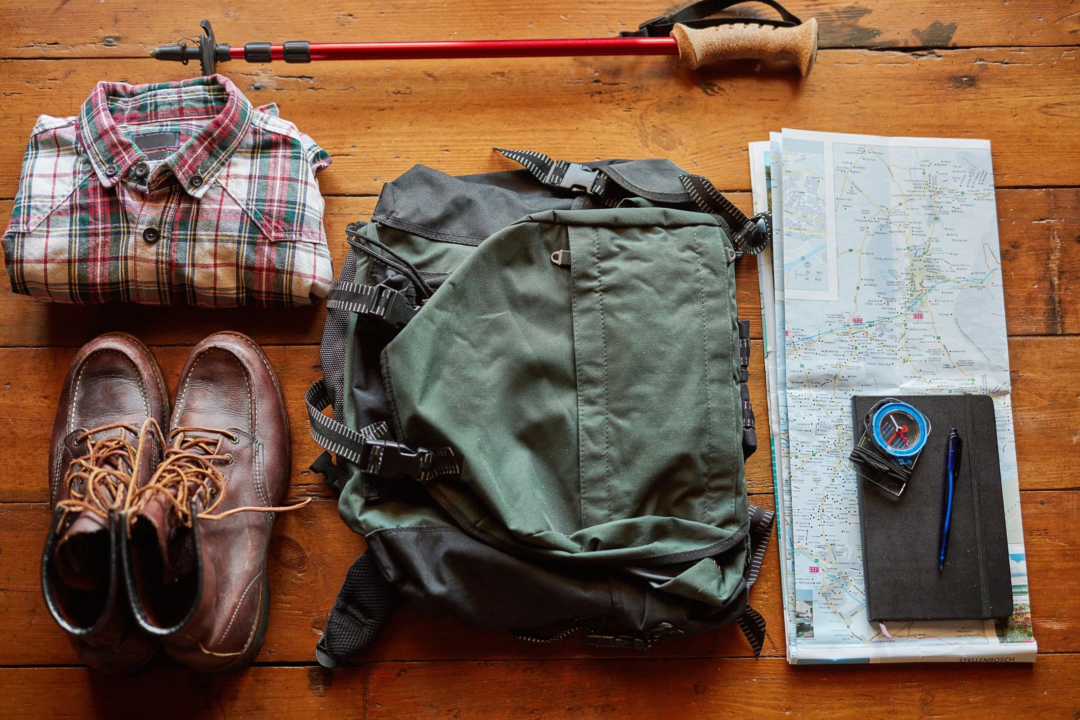
Build the skills first with glacier travel basics and crevasse rescue basics, and prepare your body with the acclimatization guide.
La Garganta, and the hard lines
One popular normal route, and a set of serious technical faces for expert alpinists.
La Garganta
The standard route and the reason Huascaran is popular. Climbed from Musho in the west, through base camp, moraine and glacier camps, an active icefall, and the La Garganta col to the Sur summit. Rated PD-plus to AD-minus depending on conditions, with short ice to about 60 degrees.
- Glaciated: crevasses, seracs, icefall
- Short ice sections up to ~60 degrees
- La Garganta col high camp near 6,000 m
- Changing every year with the retreating glacier
West Face, Spanish and Paragot Routes
Beyond the normal route, Huascaran holds serious technical lines. The West Face and Ridge (D-plus), the Northeast Spanish Route (TD-plus to ED), and the Paragot route on the Norte face (ED1) are objectives for expert alpinists, far above the La Garganta trade route.
- West Face and Ridge, around D+
- Spanish Route on the northeast ridge
- Paragot and other Norte-face ED lines
- Expert technical objectives, rarely guided
| Factor | La Garganta (normal) | The technical faces |
|---|---|---|
| Grade | PD-plus to AD-minus | D-plus to ED |
| Character | Glacier, icefall, short steep ice | Sustained technical rock and ice |
| Traffic | Popular; the standard route | Rare; expert objectives |
| Main hazard | Icefall, seracs, crevasses | Technical difficulty plus objective hazard |
| Who it suits | Acclimatized glacier climbers | Expert alpinists |
The Huascaran climb guide covers the La Garganta camps, park fee, and gear in full.
The La Garganta route, camp by camp
An overview of the normal route, from Musho to the Sur summit. For the full detail, see the climb guide.
Musho ~3,000 m
The western village where the approach and the pack animals begin.
The Approach
A few hours’ hike up to base camp below the moraine.
Below The Ice
Up glacially polished slabs to the camp at the glacier’s edge.
On The Glacier
Onto the ice itself, roped, through the lower crevasse fields.
Below La Garganta
An active, changing icefall guards the way to the col; the crux hazard.
The Throat
The broad col between the summits and the high camp for the summit push.
Huascaran Sur
Steep ice sections near 60 degrees lead to Peru’s highest point.
Reverse The Glacier
Retrace the crevasses and icefall; the descent is where care matters most.
The icefall is the crux
On a route of moderate grade, the active icefall below La Garganta is the single place that decides safety. It is where seracs and shifting crevasses concentrate, and where timing and a guide’s current knowledge matter most.
A Huascaran expedition timeline
A responsible program runs about 14 to 21 days, including the acclimatization peaks, with five to seven days on Huascaran itself.
Lima to Huaraz
Travel to the Cordillera Blanca hub of Huaraz and organize the expedition.
Acclimatization peaks
Climb smaller peaks such as Pisco or Ishinca to prepare the body for altitude.
Drive to Musho and hike in
Transfer to Musho and hike up to Huascaran base camp near 4,300 m.
Move to moraine and glacier camps
Climb the slabs to the moraine camp and onto the glacier at Camp 1.
Cross the icefall to La Garganta
Negotiate the active icefall and crevasses up to the col and high camp near 6,000 m.
Summit push
Start in the small hours, climb steep ice to the Sur summit, and turn quickly.
Descend the glacier
Reverse the route through the ice back to base camp.
Exit to Huaraz
Hike out to Musho and return to Huaraz and Lima.
Cost and access
Huascaran is one of the great affordable high-altitude climbs, guided from Huaraz, with the acclimatization peaks built into a proper program.
| Component | Figure | Note |
|---|---|---|
| Guided expedition | Andes-priced | Far cheaper than the Himalaya; set by group size and guide ratio. |
| National park fee | Huascaran National Park | A park entry and climbing fee applies in the Cordillera Blanca. |
| Acclimatization peaks | Part of the program | Budget for the warm-up peaks that make Huascaran realistic. |
| Insurance | High-altitude cover required | Rescue and evacuation cover for a remote glaciated peak. |
| Duration | 14 to 21 days complete | Five to seven days on the mountain, plus acclimatization. |
Huaraz, the Andes hub
Trips stage through Lima and the mountain town of Huaraz, the heart of the Cordillera Blanca. From there, acclimatization peaks like Pisco and Ishinca sit close by, which is what makes a Huascaran program realistic rather than a gamble on arriving fit.
Choosing a Huascaran guide
On a fast-changing glacier, current knowledge is the most valuable thing a guide brings. These are the questions to ask.
This Season’s Route
Ask when the guide last climbed it and how the icefall is this year.
Tight On The Ice
A close guide-to-client ratio matters on crevassed, seraced ground.
Warm-Up Built In
A good program acclimatizes you on smaller peaks first.
Through The Icefall
How the team times and manages the exposed icefall below the col.
Remote And Slow
Understand the evacuation reality high on a Cordillera Blanca peak.
Right Skills First
A serious operator checks your glacier record before accepting you.
How to choose an expedition operator covers the vetting in full, and the operator directory is a place to start.
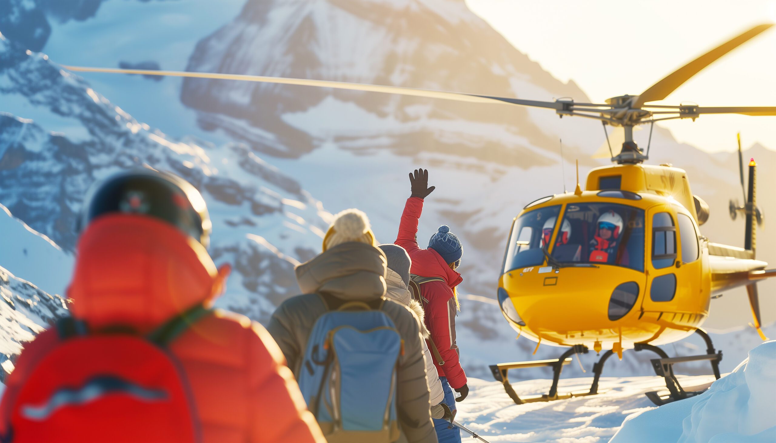
High, cold, and a long way from help
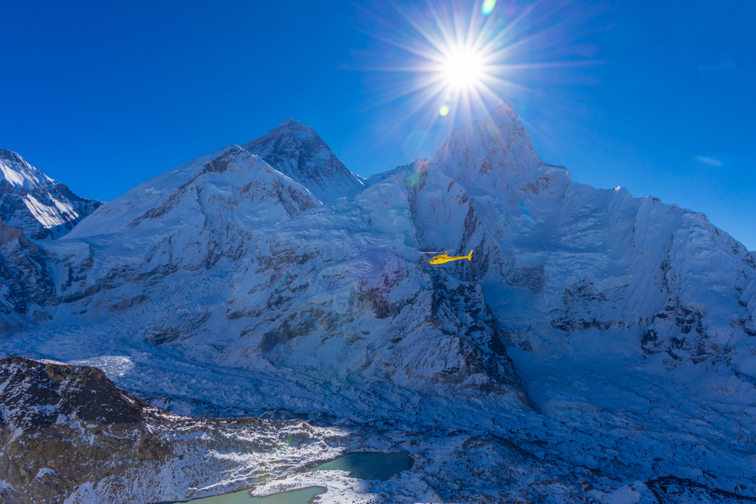
Above the col the air is thin, the nights fall below -25 C, and rescue from a Cordillera Blanca peak is slow and weather-bound. The objective hazards – icefall, seracs, avalanche – do not care how popular the route is. Move well, time the icefall, and set a turnaround you will actually honor.
Difficulty and hazard, honestly
Huascaran’s grade is moderate, but its danger is not. The risk here is objective hazard on a live, retreating glacier.
| Hazard | What it is | How to treat it |
|---|---|---|
| Icefall and seracs | The defining hazard | Objective danger, not grade, is what kills on Huascaran. |
| Crevasses | Constantly changing | The route shifts; night travel through it is a known problem. |
| Avalanche | Early season and post-storm | Four climbers died at ~6,400 m in a 2002 avalanche, among others. |
| Cold and white-out | -25 C and morning cloud | Storms and cloud can strike even in settled weather. |
Season and weather
Huascaran is a dry-season climb, in the Peruvian winter, when the weather is most settled but never guaranteed.
Season Opens
Early dry season; more snow, higher avalanche risk on fresh loading.
Prime
The heart of the Peruvian dry-season window, most settled.
Season Closes
Late dry season, still climbable as conditions allow.
-25 C At Night
Thin, cold air above the col makes every task an effort.
White-Out Risk
Morning cloud around the peak can cause white-outs near the top.
A short history of Huascaran
From an American suffragette on the north peak to the German-Austrian first ascent of the summit.
The lower north summit, Huascaran Norte, was first climbed in 1908 by the American alpinist and suffragette Annie Smith Peck, with Swiss guides, a landmark early ascent in the Andes. The higher Huascaran Sur, the true summit at 6,768 m, was first climbed on 20 July 1932 by a German-Austrian expedition led by Philipp Borchers, a team that also produced an accurate and long-valued map of the Cordillera Blanca.
In the decades since, Huascaran has become one of the most sought-after high peaks in South America, second only to Aconcagua in traffic among the continent’s giants. Its story, though, is marked as much by catastrophe as by ascent: the avalanches of 1962 and 1970 that fell on the valleys below, and the slow, ongoing retreat of its glaciers, which is rewriting the mountain a climber meets today.
The Andes cluster
Huascaran sits among the Andes updates, its Cordillera Blanca neighbours, and the glacier skills it demands.
Aconcagua
The higher Andes objective, and the busier of South America’s greatest peaks.
Read the update ->Cordillera BlancaAlpamayo
A famously beautiful fluted peak, a classic Blanca objective nearby.
See the guide ->Acclimatize firstNevado Pisco
A popular acclimatization peak with a close view of Huascaran.
See the guide ->Core skillGlacier travel basics
The roped-glacier skills the La Garganta route demands.
Learn the skill ->Huascaran climb guide
The full La Garganta route, camps, park fee, and cost.
->Chopicalqui climb guide
The massif’s near neighbour and a classic Blanca climb.
->Crevasse rescue basics
Essential practice for the crevassed Garganta route.
->Altitude acclimatization explained
Preparing your body for 6,768 m in the Andes.
->Mountaineering insurance above 6000m
Rescue and evacuation cover for a remote peak.
->Mountain weather for climbers
Reading the dry-season windows in the Cordillera Blanca.
->Back to the full Expedition Updates dashboard for every mountain we track.
Where Huascaran fits
The Andes giants, the Cordillera Blanca, and the bigger objective to the south.
High-altitude giants
Where Huascaran, the roof of the tropics, sits among the Andes greats.
Open the collection ->Cordillera BlancaAlpamayo and Pisco
The neighbouring peaks that share Huascaran’s range and season.
Read the guides ->The bigger objectiveAconcagua
The higher of South America’s great peaks, a natural next step.
Read the update ->Huascaran FAQ
The questions climbers ask most about the difficulty, the danger, the season, and the cost.
How high is Huascaran, and where is it?
Huascaran Sur is 6,768 m (22,205 ft), the highest mountain in Peru and the highest point in the Earth’s tropics. It stands in the Cordillera Blanca, in the Ancash region, and is the crown of that range. It has two summits, the higher Sur and the lower Norte at about 6,654 m, separated by a col called La Garganta, the Throat.
Is Huascaran a technical climb or a trekking peak?
It is a serious glaciated climb, not a trek. The normal La Garganta route is rated around PD-plus to AD-minus, with large crevasses, seracs, icefall, and short ice sections up to about 60 degrees. It is popular, and the second-busiest of South America’s very highest peaks after Aconcagua, but it demands real glacier skills, acclimatization, and respect for objective hazard.
What happened in 1970?
On 31 May 1970, the Ancash earthquake shook loose a massive rock, ice, and debris avalanche from Huascaran’s north peak. It traveled about 14.5 km and buried the town of Yungay and part of Ranrahirca, killing on the order of 18,000 people; only a few hundred in Yungay survived by running to a cemetery hill. It remains one of the deadliest avalanche disasters in recorded history, and it is inseparable from the mountain’s story.
Is the mountain still dangerous to the valley?
The 1970 collapse was triggered by a major earthquake, which is rare, but the Cordillera Blanca sits above populated valleys and its glaciers are retreating. That retreat is changing the mountains and, in the wider range, has created and threatened glacial lakes. For climbers, the relevant point is that the ice is less stable and less predictable than it once was.
How does glacial retreat affect the climb?
The Cordillera Blanca is losing ice quickly, and Huascaran is changing with it. The icefall on the approach to La Garganta has grown more active over the years, crevasses open and shift, and the classic camp at La Garganta has been hit by icefall in the past. The practical effect is that the route varies year to year, and a guide who knows the current glacier matters more than the historical topo.
What is the standard route and how long does it take?
The normal route is La Garganta, climbed from the village of Musho to the west, through base camp, a moraine camp, and glacier camps to the col between the summits, then up to the Sur summit. The mountain phase runs about five to seven days, but a responsible complete program with acclimatization usually takes 14 to 21 days. Most climbers acclimatize first on smaller Cordillera Blanca peaks such as Pisco or Ishinca.
When is the climbing season?
The dry season, roughly June to August, is the prime window, within a broader May to September season. This is the Peruvian winter, when the weather is most settled, though storms, cold nights below -25 C, and morning cloud that causes white-outs are all still possible.
What experience do you need?
Solid glacier mountaineering skills, competence with crampons, ice axe, roped travel and crevasse rescue, good high-altitude fitness, and proper acclimatization. Huascaran is a reasonable step up for climbers with prior glaciated peaks under their belt, but it is not a first mountain, and its altitude and objective hazard are unforgiving of gaps.
How much does it cost, and where do trips start?
Huascaran is far cheaper than the Himalaya or a Seven Summits peak, guided from the Andes hub of Huaraz, with a national park fee and a Musho approach. Costs depend on group size, guide ratio, and how much acclimatization support is included. Trips stage through Lima and Huaraz, and a complete program budgets for the acclimatization peaks as well as Huascaran itself.
How we built this update
What this page is based on, who reviewed it, and what we do not claim to know.
Sources
- USGS and park authority records for the 1970 avalanche and the mountain.
- Operator route, itinerary, and pricing information for the La Garganta route.
- Published mountaineering records for the 1908 and 1932 first ascents.
- Cordillera Blanca glacier-retreat reporting and route-condition accounts.
- Our own Huascaran climb guide for the detailed route and cost.
Review and standards
Compiled by Travis Ludlow and reviewed for safety by Dawson Ludlow, our Climbing and Mountaineering Lead (Wilderness First Aid), whose highest first-hand summit is Kilimanjaro. Health and medical points were reviewed by Taylor Ludlow, RN. We do not fabricate summit experience, quotes, or credentials, and we say plainly when we are reporting rather than recounting.
What we do not claim to know
Huascaran is a changing glaciated peak, and no web page can replace a current route report and a guide’s judgment. In particular:
- The glacier and icefall change season to season; conditions must be checked for the year you climb.
- Historical casualty figures for 1970 vary by source; we cite widely reported USGS-based numbers.
- Grades shift with conditions; PD-plus to AD-minus is a fair-weather guide, not a guarantee.
- Our team has not climbed Huascaran, so we report records and operator data, not personal experience.

Global Summit Guide research
We compile mountain updates from park and scientific records, operator data, and published history, review them for safety and medical accuracy, and refresh them each season. We are transparent about what we have and have not climbed, and Huascaran is a research-based briefing, not a personal account.
About our team and standards ->Respect the ice. Build the plan.
Start with the full route in our Huascaran climb guide, weigh yourself against our fitness standards, and build a program around the acclimatization peaks in the Andes collection. Trips stage through Lima and Huaraz, so for flights and lodging, browse travel on Expedia.
Disclosure: the Expedia link above is a sponsored affiliate link, and we may earn a commission at no extra cost to you. It is the only affiliate link on this page; our route, hazard, and safety guidance is independent.