
Last updated September 29, 2026

Mount Bierstadt Hike: West Slopes Route, Guanella Pass & Safety Guide
Mount Bierstadt is one of Colorado’s clearest first-14er objectives: a paved trailhead at Guanella Pass, a well-established route, relatively low exposure and a short Class 2 boulder finish. The mountain is approachable by 14er standards—not easy. Altitude, fast weather changes and a crowded trailhead still decide many summit attempts.
Is Mount Bierstadt a Good First 14er?
Yes—for a fit hiker who prepares for altitude and alpine weather. The standard West Slopes route is currently listed at 7.25 miles round trip, 2,850 feet of gain and Class 2, with low exposure and low route-finding difficulty. The final 250 vertical feet are the crux: the trail dissolves into a boulder pile and hands may be useful for balance.
Bierstadt is not “easy” in the everyday hiking sense. The trailhead is already around 11,669 feet, the summit is 14,066 feet on current LiDAR data, and most of the upper route is completely exposed to wind, cold and thunderstorms.

Access Is Simple—Parking Is the Real Constraint.
The standard West Slopes route starts at Guanella Pass on the paved Guanella Pass Scenic Byway. From Georgetown, drive roughly 12 miles south to the pass. From US 285, turn north at Grant and follow the byway roughly 13 miles.
14ers.com describes two large paved parking areas. The Bierstadt Trail begins near the east-side lot; restrooms are at the upper/west-side lot.
- Summer vehicle: regular sedan is normally sufficient.
- Reservation: Recreation.gov currently lists Guanella Pass Scenic Byway as not offering reservations.
- Parking: vehicles must be fully off the paved portion of the road.
- Busy days: this is a very heavily used Front Range trailhead, so arrive early.
The Bierstadt Route, Section by Section
The standard line is unusually straightforward by 14er standards. The important surprise is that the hike first loses elevation from Guanella Pass before beginning the sustained climb.
1. Leave Guanella Pass and descend.
Follow the Bierstadt Trail east toward Scott Gomer Creek. The route drops into the basin before the real climb begins.
2. Cross the willow basin.
Wooden bridges and established trail carry hikers through wet willows for nearly a mile. Stay on the built tread and cross Scott Gomer Creek.
3. Climb out of the basin.
Switchbacks gain the steeper west slope and leave the willows behind.
4. Settle into the long shoulder climb.
Turn southeast and follow the obvious trail across open alpine terrain. Pace conservatively.
5. The upper mountain steepens.
The trail zigzags through rockier terrain toward a ridge crest near 13,750 feet.
6. Finish through the summit boulders.
The final roughly 250 vertical feet lose the continuous trail and require Class 2 movement through large blocks. Choose stable rock and descend the same terrain carefully.

The Route Is Straightforward—Until Altitude, Weather or the Final Boulder Pile Makes It Feel Different.
Bierstadt’s reputation as a beginner 14er comes from its route-finding and exposure profile, not from low altitude or guaranteed conditions.
Why Bierstadt Is Beginner-Friendly—and Still a Real 14er.
Current 14ers.com data rates the West Slopes route Class 2 with low exposure, moderate rockfall potential, low route-finding difficulty and low commitment. That is a favorable risk profile, not a promise of an easy day.
Low
The standard trail is well defined for most of the climb. The final boulders require line choice, but normal dry conditions are straightforward.
Low
There is little mandatory terrain where a slip immediately becomes a major fall. That separates Bierstadt from Class 3 routes such as Longs or the Sawtooth.
High
The trailhead begins above 11,600 feet and the summit exceeds 14,000. Sea-level fitness does not predict how comfortably you will move this high.
Fully Exposed
Once above the willows, much of the route is open alpine terrain. Lightning, cold rain, graupel and wind can change the day quickly.
For a First Attempt, Wait for Dry Summer Conditions.
Late June through September is the common hiking-season window, but actual snowpack and forecast matter more than the calendar. Early summer can retain snow in the basin and upper boulders. Autumn can deliver excellent dry days followed by abrupt winter conditions.
Snow Can Raise the Skill Requirement
Lingering snow may require traction, snow-travel judgment or a more conservative turnaround threshold.
Best for a First 14er
Dry trail and boulders simplify the technical side. Thunderstorm timing, crowds and altitude become the dominant planning problems.
Different Objective
Shorter daylight, snow, ice, wind and road closures change both the gear list and the seriousness of the route.

Start Early Enough That Afternoon Weather Is Not Your Summit Strategy.
Colorado’s high peaks are exposed to fast summer thunderstorm development. A forecast that looks good in Denver is not a summit forecast.
Check the Mountain Forecast
Look at summit wind, temperature, precipitation and thunderstorm timing—not just Georgetown weather.
Watch the Sky Early
Growing cumulus clouds, dark bases, wind shifts and distant thunder should move your decision earlier, not later.
Thunder Ends the Summit Attempt
If thunder is audible, descend toward lower terrain rather than waiting on an exposed ridge or summit.
No Technical Kit Normally Required—But Carry a Complete Alpine Day-Hike System.
In dry summer conditions, Bierstadt does not normally require a rope, harness, ice axe or crampons. The gear challenge is staying functional through altitude, wind, cold, sun, rain and a longer-than-expected descent.
Trail Runners or Hiking Boots
Choose stable footwear already proven on long rocky days. The final boulders reward secure footing.
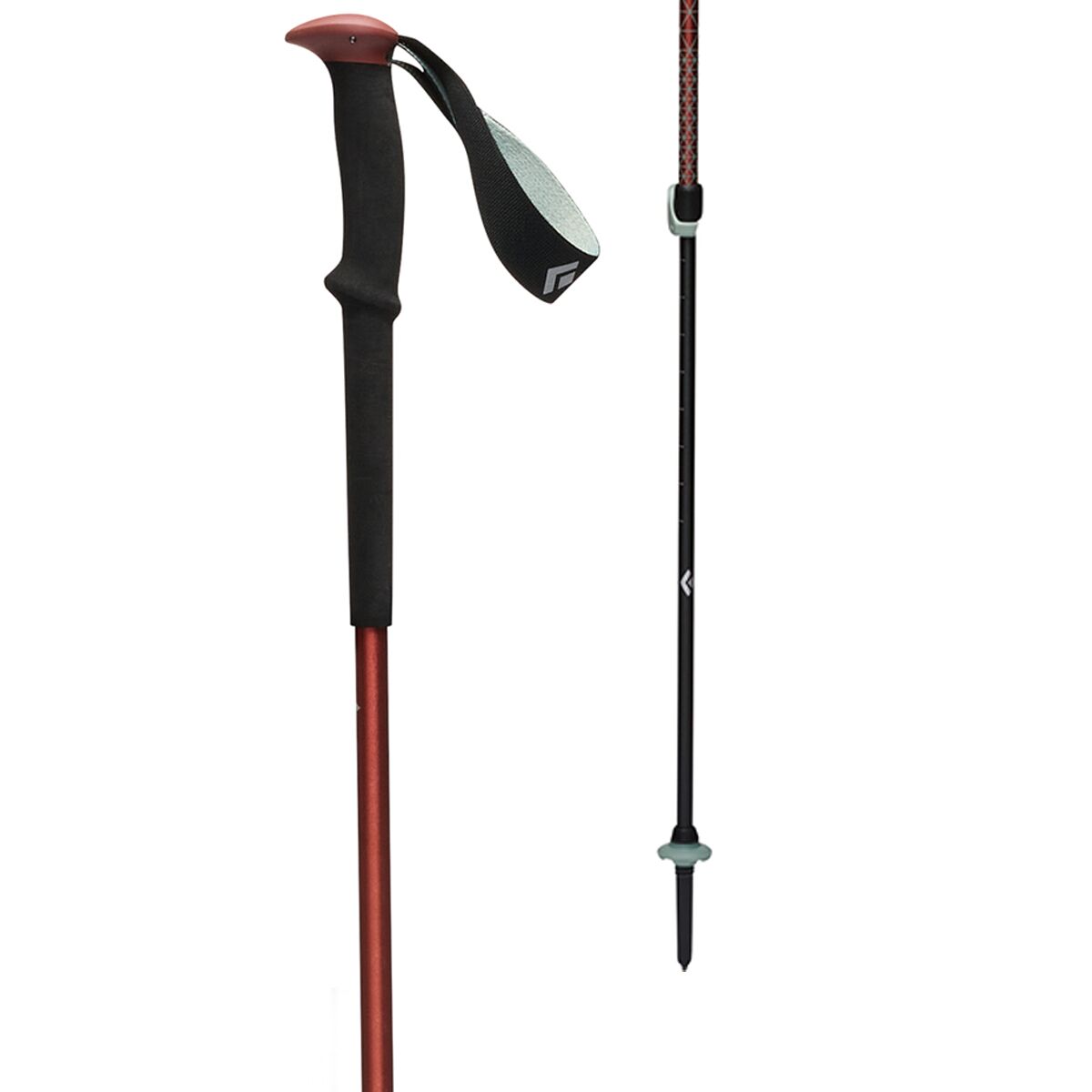
Trekking Poles
Useful through the basin and on descent, especially when fatigue makes the return feel longer than expected.
Insulation + Shell
Carry a warm layer, waterproof/windproof shell, gloves and hat even when Georgetown begins warm and dry.
Offline Map + Backup
Darkness, fog or snow can erase the route’s normal navigation advantage.
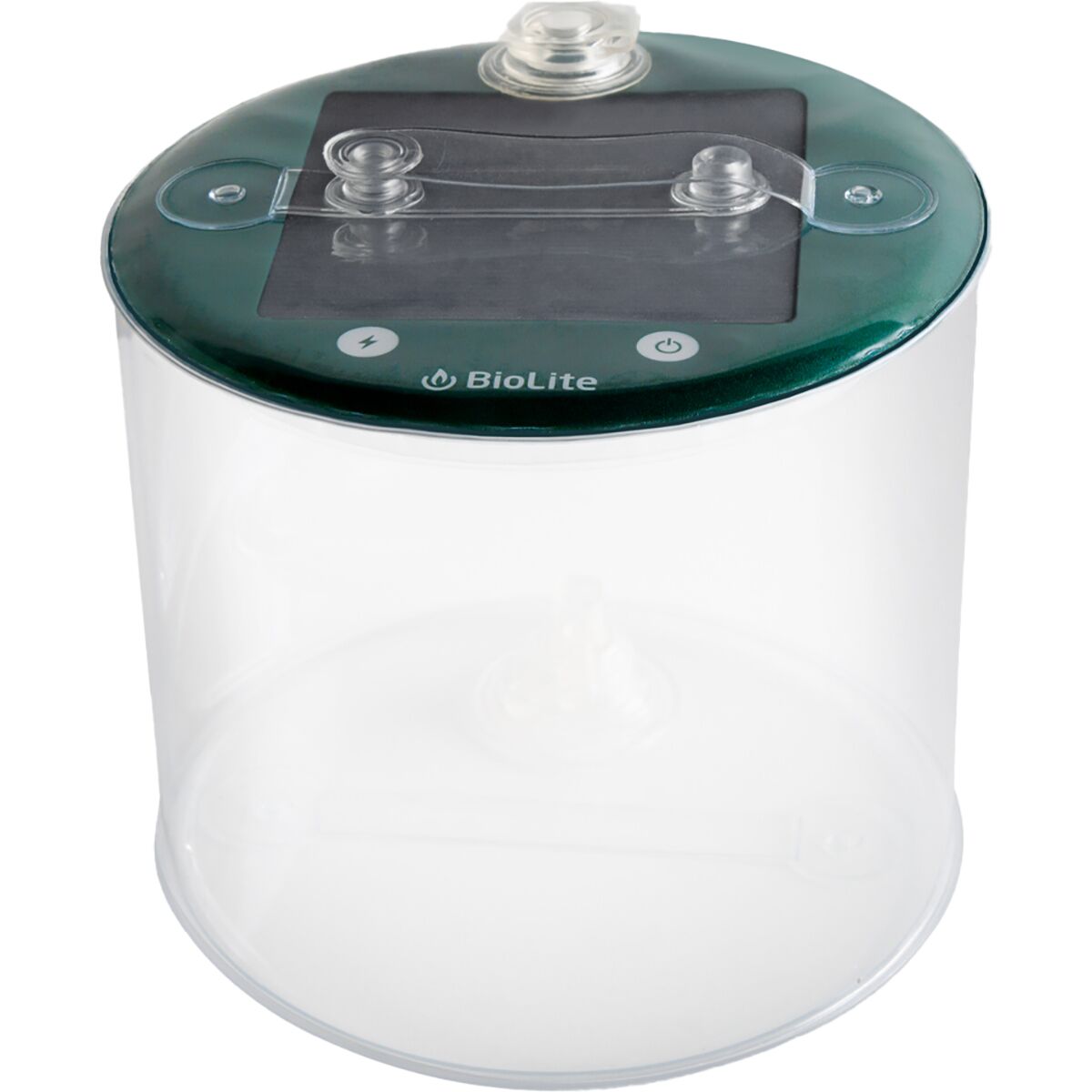
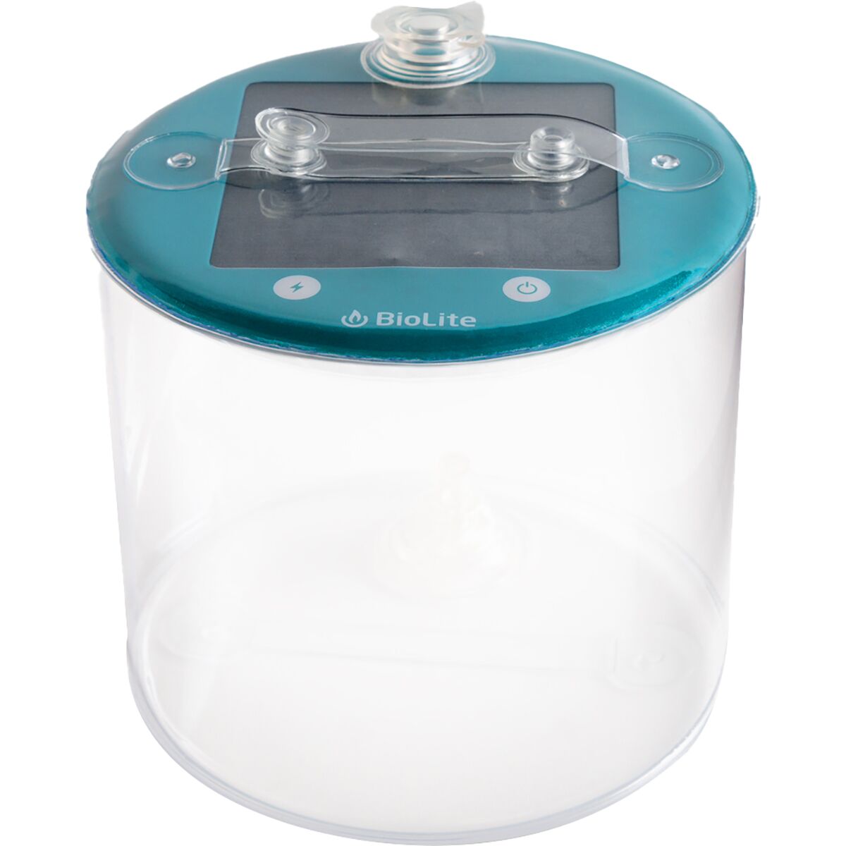
Headlamp
Early starts are normal on Colorado 14ers. A headlamp gives you a safer weather margin.
Food, Water & Sun
Carry enough for a slower-than-planned day plus sunglasses, sunscreen and lip protection.
Mount Bierstadt Day-Hike Gear

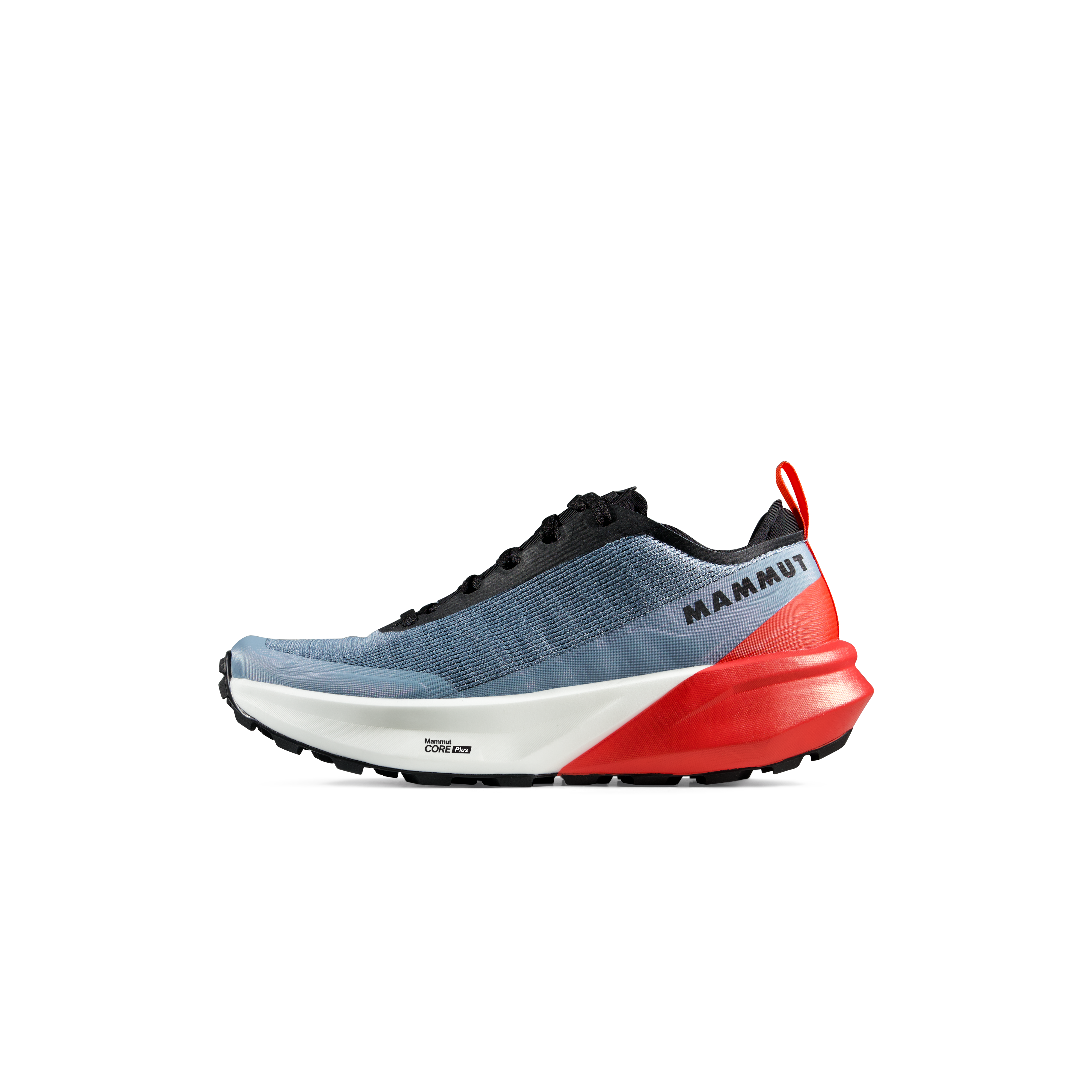
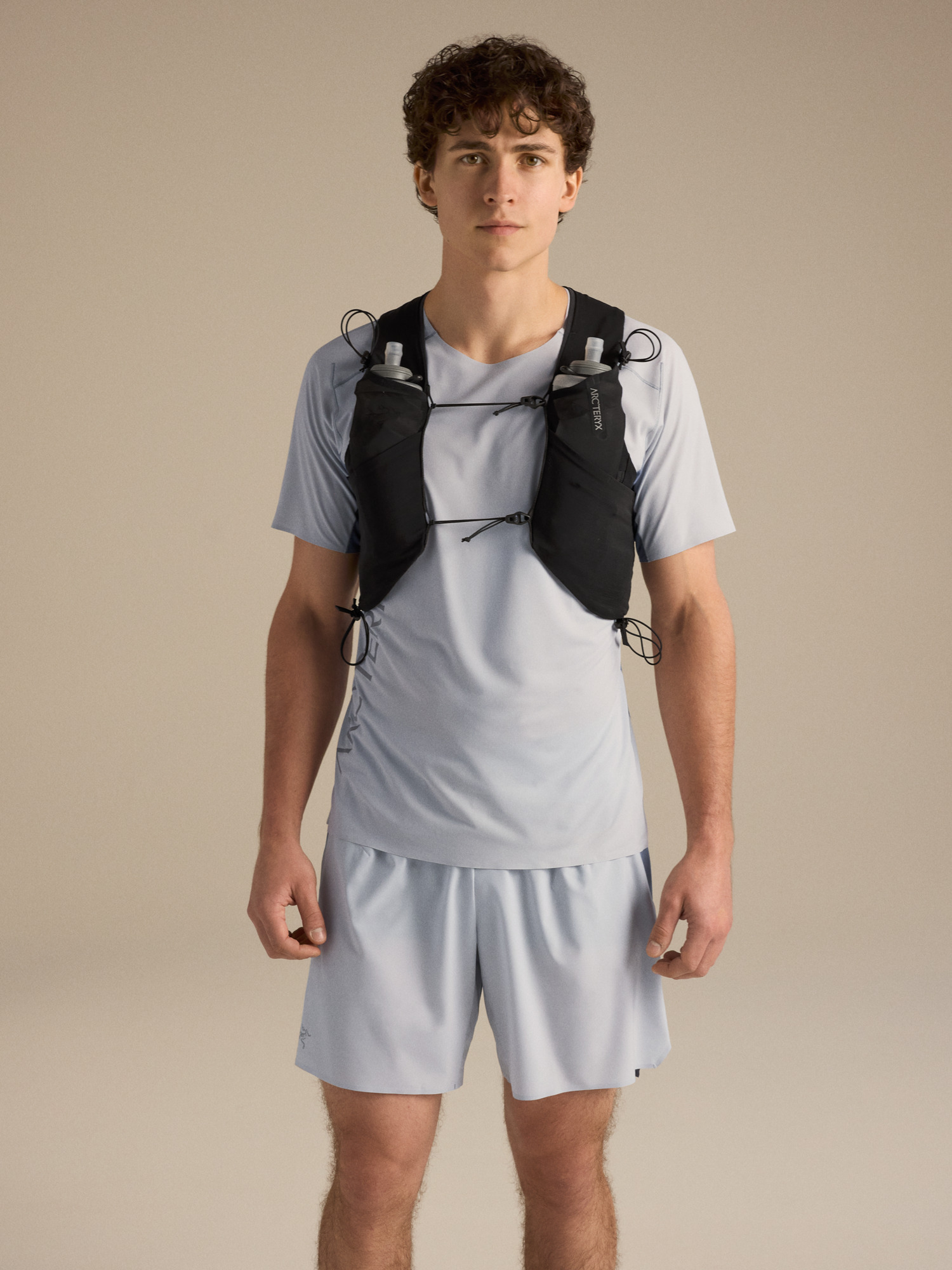
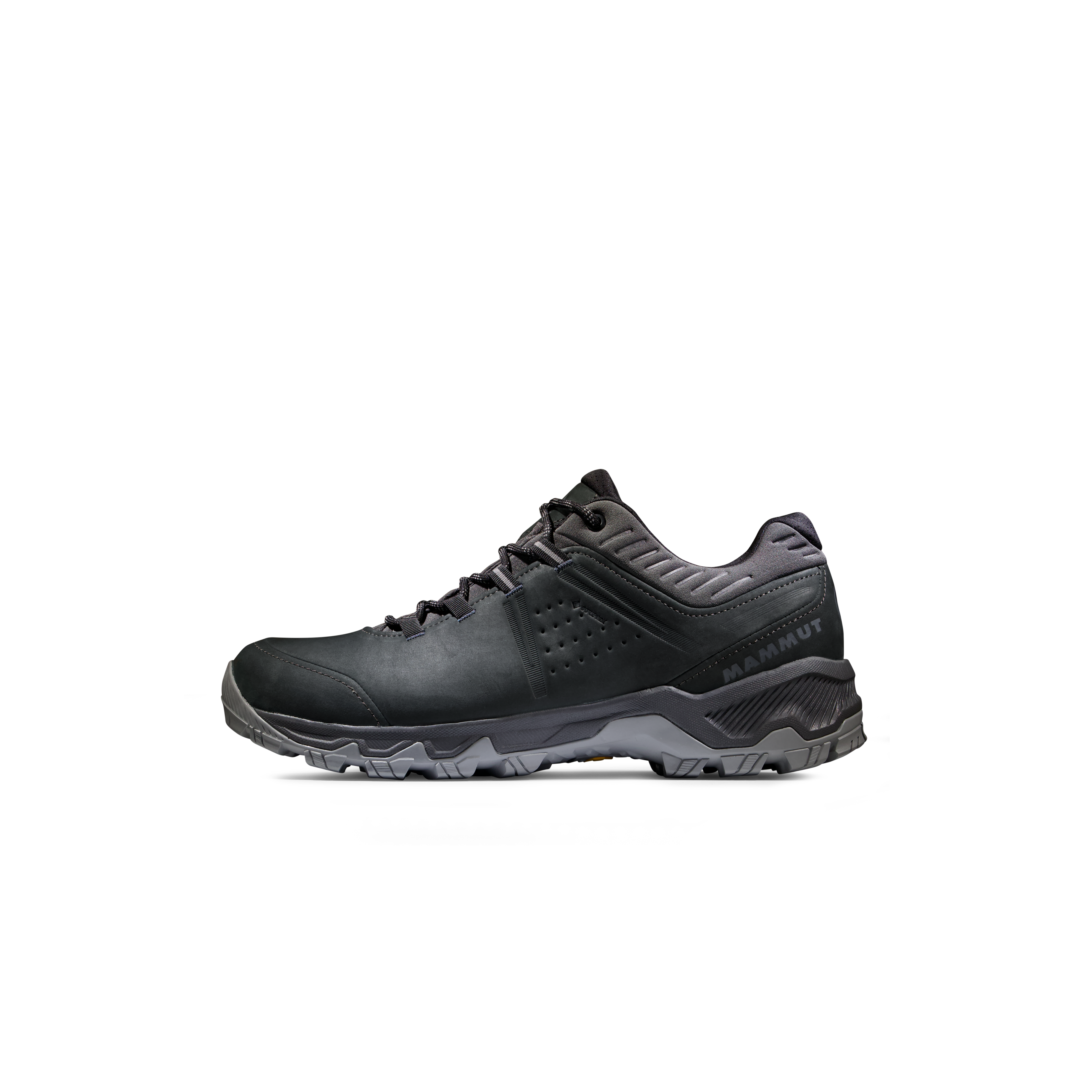
We may earn a commission if you buy through these links, at no extra cost to you. Affiliate disclosure
Early-Start & Shoulder-Season Gear
Bierstadt’s Accessibility Creates Its Biggest Management Problem: Heavy Use.
The route enters the Mount Evans Wilderness. Current Forest Service rules matter even on a one-day summit hike.


Hand-Held Leash Required
The Forest Service requires dogs to be on a hand-held leash.
15-Person Limit
Wilderness group size is limited to 15 people, with separate stock limits.
Not Allowed
Mechanized equipment and aircraft landing—including drones—are prohibited in designated wilderness.
100-Foot Setback
Camping and campfires are prohibited within 100 feet of trails, lakes and streams.
Do Not Let the Sawtooth Turn a First 14er Into a Different Climb.
The alternatives are not interchangeable with the West Slopes standard route. Choose them because you want the added difficulty—not because the ridge looks close from the summit.
| Route / objective | Difficulty | Distance / gain | What changes | Who it fits |
|---|---|---|---|---|
| West Slopes | Class 2 | 7.25 mi · 2,850 ft | Low exposure, straightforward navigation, final boulders | Fit hikers seeking a first or early Colorado 14er |
| South Ridge | Class 2 | 14.25 mi · 4,500 ft | Much longer day with considerably more route-finding | Experienced hikers wanting endurance and solitude |
| Bierstadt → Sawtooth → Mount Blue Sky | Class 3 | 10.5 mi · 3,900 ft | Considerable exposure, route-finding and high commitment | Experienced Class 3 climbers—not a beginner add-on |

Bierstadt Is Valuable Because It Teaches What 14,000 Feet Feels Like Without Adding Major Technical Consequence.
Use the day to learn your pace, layering, fueling, turnaround discipline and altitude response. Those lessons are more useful for the next mountain than the summit photo alone.
Mount Bierstadt & Guanella Pass Map
Summit: 39.58256, -105.66886
Standard start: Guanella Pass Trailhead at approximately 11,669 feet.
The trail begins west of the mountain, descends into the Scott Gomer Creek basin, then climbs the broad west shoulder to the final summit boulders.
Use this overview for orientation only. Carry an offline route map and verify current trail, road and weather conditions before starting.
Three Skills Bierstadt Can Start Building
These supporting resources deepen the skills behind the hike without replacing the Colorado cluster links below.
Use Bierstadt as the First Step in a Deliberate Colorado Progression.
This page owns Mount Bierstadt route, Guanella Pass access, difficulty and climb planning. Use the connected Colorado pages to choose the next peak, compare the broader 14er list and build from Denver-area hiking into more serious objectives.
Check the Land Manager Before You Drive.
Access, snow, fire restrictions and parking conditions can change after this page is updated. These are the sources used for route and access verification.
14ers.com · West Slopes
Current LiDAR elevation, route class, distance, gain, trailhead and route description.
Open route source →Clear Creek County · Guanella Pass
Current road status, seasonal closure framework, parking rules and normal vehicle access.
Check road status →U.S. Forest Service · Mount Evans Wilderness
Current wilderness rules including dogs, group size, camping setback and mechanized-use restrictions.
Check wilderness rules →Mount Bierstadt Questions
Short answers to the decisions most hikers need to make before driving to Guanella Pass.
How hard is Mount Bierstadt?
The standard West Slopes route is Class 2. Current 14ers.com data rates exposure and route-finding low, rockfall moderate and commitment low. The hike is still strenuous because of altitude, weather exposure and the final boulder section.
How long is the Mount Bierstadt hike?
About 7.25 miles round trip with approximately 2,850 feet of elevation gain from Guanella Pass on the standard West Slopes route.
Do I need a permit or reservation?
The standard Guanella Pass approach does not use the Mount Blue Sky summit-road reservation system. Recreation.gov currently lists Guanella Pass Scenic Byway as not offering reservations. Parking remains limited and regulated.
What is Mount Bierstadt’s elevation?
Current 14ers.com LiDAR data lists 14,066 feet. Older references may still show 14,060 or 14,065 feet because they use earlier survey values.
Is Bierstadt a good first 14er?
It is one of Colorado’s clearest first-14er options for a fit, prepared hiker because the standard route is comparatively short, straightforward and low exposure. “Beginner-friendly” is relative: you are still hiking above 14,000 feet in exposed alpine terrain.
Can I bring a dog?
Yes, but current Forest Service rules for the Mount Evans Wilderness require dogs to be on a hand-held leash.
Should I add the Sawtooth and Mount Blue Sky?
Not as an automatic extension. The Bierstadt-Sawtooth-Blue Sky combination is Class 3 with considerable exposure and route-finding plus high commitment. Treat it as a separate advanced objective.
Was this helpful?
🏔Related peaks nearby
🧭Explore & compare
Global Summit Guide is an independent mountaineering resource founded in 2026. The team combines first-hand trekking and climbing experience with in-depth research and professional health and nutrition review to help climbers choose objectives, prepare properly, and stay safe.
Health, altitude, and nutrition content is reviewed by Taylor Ludlow (Registered Nurse) and Brigg Hoopes (Nutritionist).
What We Don't Know Yet
Mountain information changes quickly. This box explains the limits of what this page can responsibly promise.
- Visa, passport, vaccination, border, insurance, and local transportation rules may change before your trip.
- Route conditions, snowpack, closures, and weather can change quickly after this page is updated.
- Permit rules, fees, quotas, and reservation windows may change between review cycles.
- Operator availability, pricing, guide ratios, and cancellation terms can change by season.
- Your fitness, altitude response, risk tolerance, and experience level may change what is safe or realistic.
Verify current conditions with official land managers, guide services, local forecasts, and current route reports before booking or climbing.
Mountaineering, rock and ice climbing, glacier travel, and high-altitude activity are inherently dangerous and can result in serious injury or death. The information on Global Summit Guide is provided for general informational and educational purposes only and is not a substitute for professional instruction, qualified guiding, proper equipment, or your own judgment and experience.
Route conditions, weather, snowpack, permits, regulations, and hazards change constantly and may differ from what is described here. Details may be incomplete, out of date, or contain errors. Always verify current information with local authorities, certified guides, and official sources before making any decision in the mountains.
Nothing on this site is medical, legal, or financial advice. Our fitness, acclimatization, altitude, and nutrition content is general in nature; consult a qualified physician before beginning any strenuous exercise program or exposing yourself to high altitude.
You are solely responsible for your own safety and decisions. To the fullest extent permitted by law, Global Summit Guide and its team accept no liability for any loss, injury, damage, or expense arising from use of, or reliance on, this information. By using this site you acknowledge these risks and accept these terms.
Some links on this site may be affiliate links. If you buy through them we may earn a small commission at no extra cost to you; this never affects our recommendations.
Global Summit Guide recommendation path
Next Best Mountain to Research
Use these recommendations to continue the right planning path instead of stopping on one page.
Use current permit, weather, route, and operator information before booking or climbing.