
Last updated August 31, 2026

Wasatch Late-Summer Hiking Brief: Heat, Smoke & the First Fall-Color Planning Window
The Wasatch is still in late-summer mode, not fall mode. A significant heat spell hit the Wasatch Front Aug. 20–22, trails remain dry and dusty in parts of the range, and fire restrictions are still relevant. Current air-quality readings do not support treating smoke as a universal Wasatch problem today—check it daily. For evergreen route ideas, use our Best Hikes in the Southwest USA; this page only covers the late-August/early-September decision window.
Should You Hike the Wasatch This Week?
Yes—if you treat this as late summer. Start early on exposed routes, carry more water than your fall instincts suggest, check air quality the morning of the hike, and keep an eye on thunderstorms and fire restrictions.
The big heat event of Aug. 20–22 has passed, but that does not mean exposed foothill approaches are suddenly cool. Higher elevation is your friend right now, especially for midday comfort.
Heat, Smoke, Trail Surface & Fire: What Changes the Plan?
| Factor | Current signal | Hiking decision |
|---|---|---|
| Heat | Recent Wasatch Front heat advisory with highs near 100°F | Start earlier; favor higher trailheads and shaded canyons |
| Smoke / PM2.5 | Current Salt Lake readings are not showing a major smoke event | Check Utah DEQ/AirNow the same morning; do not assume regional smoke |
| Trail surface | Dry and dusty reported at Wasatch Mountain State Park | Expect loose dust, dry tread and faster dehydration |
| Fire restrictions | Stage 1 restrictions reported | Know stove/fire rules before camping or picnicking |
| Thunderstorms | Still possible; strong storms occurred Aug. 21 | Be off exposed ridges before convective weather develops |
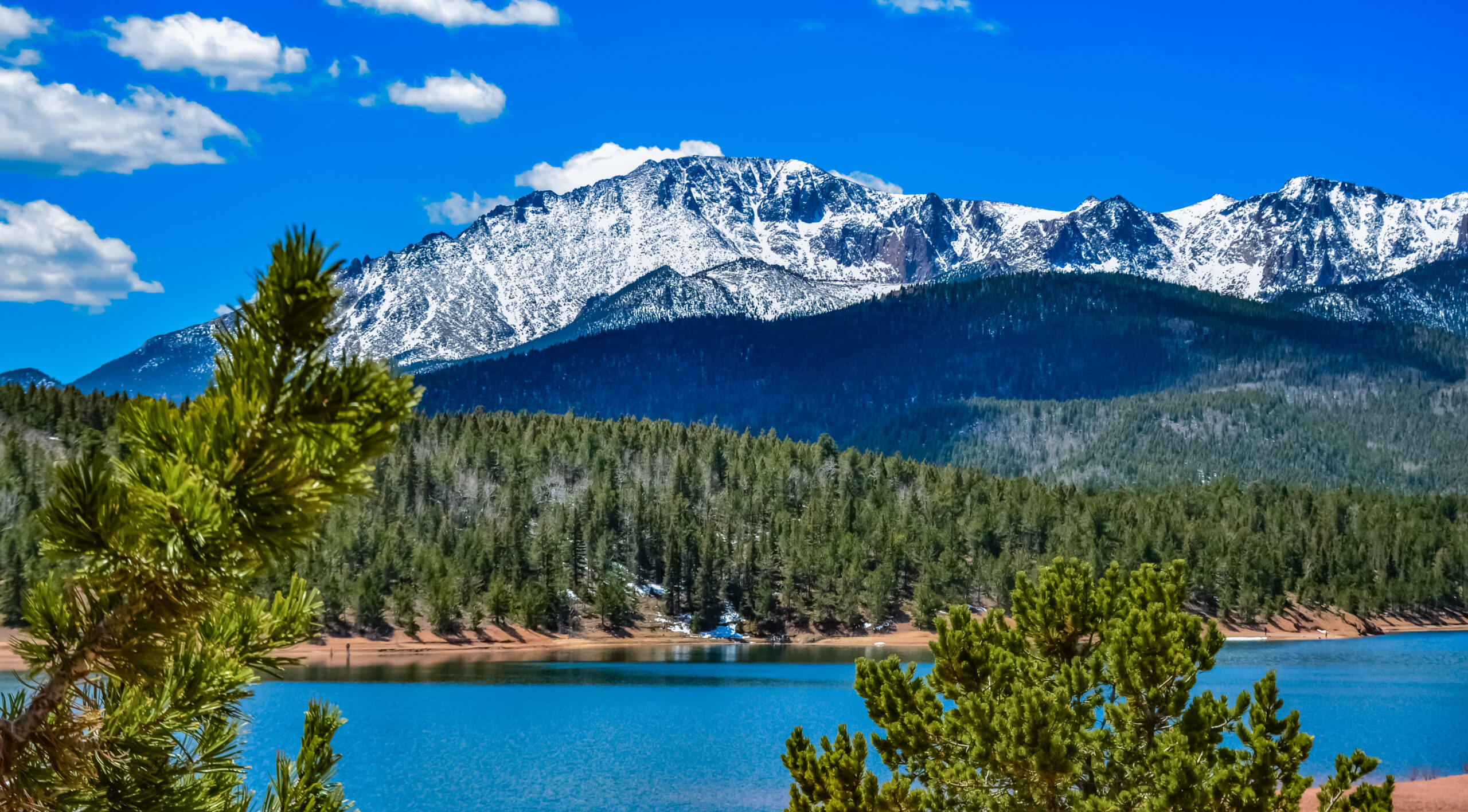
Smoke Is a Morning Check, Not a Seasonal Label.
A distant wildfire can change Wasatch air overnight, while a forecast that sounds smoky can still produce a clear hiking morning. Use current PM2.5 and visibility, not yesterday’s headline.
How to Handle Smoke Without Overreacting
As of the morning of Aug. 31, Utah DEQ reported Salt Lake County PM2.5 at 5.6 µg/m³, which is not consistent with a major smoke episode. That is useful—but only for that moment. Mountain valleys can trap smoke, winds can shift, and particulate levels can change during the day.
Check PM2.5
Use Utah DEQ or AirNow the morning of the hike.
Look Up-Canyon
If visibility is clearly degraded or smoke is obvious, reassess intensity and duration.
Watch Symptoms
Headache, unusual throat irritation or breathing difficulty are reasons to back off.
Move Time or Elevation
Conditions can improve quickly after a wind shift or frontal passage.
Is Fall Color Starting in the Wasatch Yet?
Think “watch list,” not “peak color.” Late August is when it becomes worth tracking overnight lows, elevation and aspect. Higher-elevation vegetation will turn before the valley, but the useful hiking decision right now is to identify September weekends and flexible midweek days rather than chase color that may not yet be developed.
| Window | What to expect | Planning move |
|---|---|---|
| Aug. 31–early Sept. | Mostly late-summer conditions | Scout higher-elevation routes; watch overnight lows |
| Early–mid Sept. | First meaningful high-elevation change becomes more plausible | Prioritize flexible mornings and higher canyons |
| Mid–late Sept. | Broader fall-color opportunity usually strengthens | Use current reports rather than fixed calendar dates |
This is intentionally a planning framework, not a claim that a particular canyon is currently at peak color.
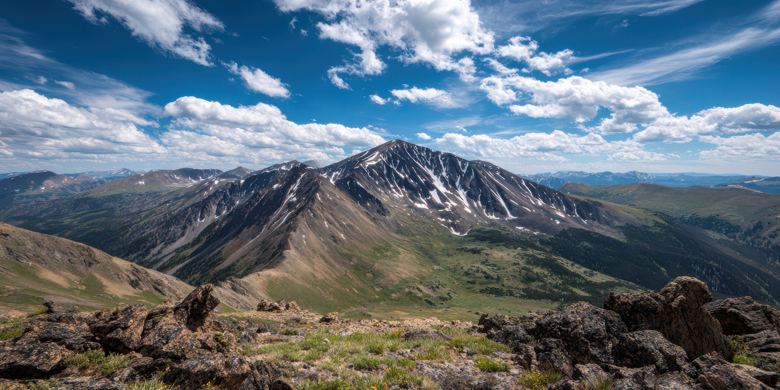
Start Early, Go Higher, Keep the Day Flexible.
That combination handles heat, smoke variability and afternoon weather better than trying to force one fixed itinerary.
What I Would Do Right Now
Choose Elevation
Favor higher trailheads or forested canyon routes and avoid exposed lower-elevation climbs in the afternoon.
Delay or Pivot
Check whether air improves later or move to a route outside the worst plume.
Use It
Late summer can produce excellent visibility between weather and smoke events.
Wait for September Signals
Late August is for planning; let actual color reports drive the final route choice.
Continue Planning
Best Hikes in the Southwest USA
Use this for route selection rather than this dated conditions brief.
Explore Southwest hikes →ToolHiking Difficulty Calculator
Estimate effort once you choose the route.
Calculate difficulty →ToolTrailhead Finder
Check parking, shuttle and access logistics.
Plan access →Deep recoveryMountain Weather
Build a better morning forecast check before heading into the Wasatch.
Read weather →Deep recoveryTrip Planning
Keep a backup route for smoke, heat or thunderstorms.
Plan the trip →JourneyMy Climb Plan
Save the route, weather check, air-quality check and fallback option.
Add the plan →Sources to Recheck Before You Go
Wasatch Late-Summer Hiking FAQ
Is it still hot?
Yes. A Wasatch Front heat advisory ran Aug. 20–22 with valley highs near 100°F. Higher elevations are cooler, but early starts remain useful.
Is smoke bad right now?
Not universally. Current Salt Lake readings on Aug. 31 do not indicate a major smoke event. Check the same morning because conditions can change rapidly.
What are trail conditions like?
Wasatch Mountain State Park reported dry and dusty trails on Aug. 21.
Are fire restrictions still relevant?
Yes. Stage 1 restrictions were reported in Wasatch Mountain State Park, and public-land restrictions should be checked before camping or using fire.
Are fall colors starting?
Late August is better treated as the planning window. Watch higher elevations first as September progresses.
Is this the main Wasatch hiking guide?
No. This is a dated conditions brief; evergreen route planning belongs on the linked regional hiking guides.
Check Heat. Check Air. Then Watch the Trees.
The Wasatch is entering the transition season, but late-summer hazards still control the hiking day. Use current conditions—not the date alone—to decide when and where to go.
Was this helpful?
Global Summit Guide is an independent mountaineering resource founded in 2026. The team combines first-hand trekking and climbing experience with in-depth research and professional health and nutrition review to help climbers choose objectives, prepare properly, and stay safe.
Health, altitude, and nutrition content is reviewed by Taylor Ludlow (Registered Nurse) and Brigg Hoopes (Nutritionist).
What We Don't Know Yet
Mountain information changes quickly. This box explains the limits of what this page can responsibly promise.
- Visa, passport, vaccination, border, insurance, and local transportation rules may change before your trip.
- Route conditions, snowpack, closures, and weather can change quickly after this page is updated.
- Permit rules, fees, quotas, and reservation windows may change between review cycles.
- Operator availability, pricing, guide ratios, and cancellation terms can change by season.
- Your fitness, altitude response, risk tolerance, and experience level may change what is safe or realistic.
Verify current conditions with official land managers, guide services, local forecasts, and current route reports before booking or climbing.
Mountaineering, rock and ice climbing, glacier travel, and high-altitude activity are inherently dangerous and can result in serious injury or death. The information on Global Summit Guide is provided for general informational and educational purposes only and is not a substitute for professional instruction, qualified guiding, proper equipment, or your own judgment and experience.
Route conditions, weather, snowpack, permits, regulations, and hazards change constantly and may differ from what is described here. Details may be incomplete, out of date, or contain errors. Always verify current information with local authorities, certified guides, and official sources before making any decision in the mountains.
Nothing on this site is medical, legal, or financial advice. Our fitness, acclimatization, altitude, and nutrition content is general in nature; consult a qualified physician before beginning any strenuous exercise program or exposing yourself to high altitude.
You are solely responsible for your own safety and decisions. To the fullest extent permitted by law, Global Summit Guide and its team accept no liability for any loss, injury, damage, or expense arising from use of, or reliance on, this information. By using this site you acknowledge these risks and accept these terms.
Some links on this site may be affiliate links. If you buy through them we may earn a small commission at no extra cost to you; this never affects our recommendations.
Global Summit Guide recommendation path
Next Best Mountain to Research
Use these recommendations to continue the right planning path instead of stopping on one page.
Use current permit, weather, route, and operator information before booking or climbing.