
Last updated September 23, 2026
PCT vs Appalachian Trail: Which Thru-Hike Fits You?
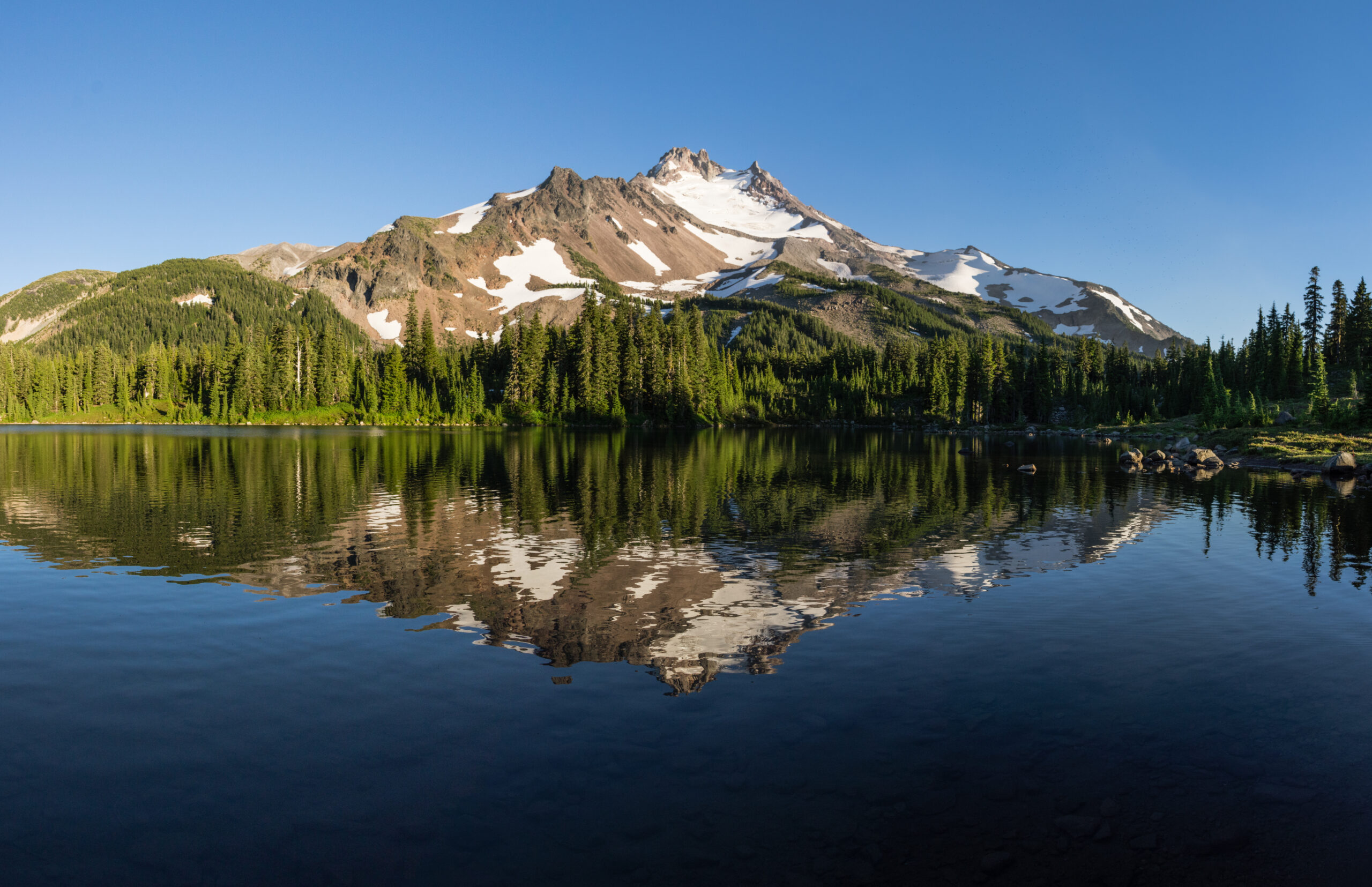
The Pacific Crest Trail is longer, higher and shaped by desert, Sierra snow and western wilderness. The Appalachian Trail is shorter, but its relentless climbing, rocky tread, humidity and long months on trail create a different kind of difficulty. The better fit depends on which problems you would rather solve for five or six months.
The PCT and A.T. Are Difficult for Almost Opposite Reasons.
Choose between them by looking beyond mileage. The Pacific Crest Trail asks you to manage a longer route, desert water, high elevation, snow timing, remote stretches and the narrow seasonal window between spring snow and autumn storms.
The Appalachian Trail trades much of that western scale for repeated short climbs and descents, rocks, roots, mud, humidity, rain and a thru-hike that commonly lasts longer despite covering fewer miles.
Neither trail is simply the easier version of the other.
PCT vs Appalachian Trail: Side-by-Side
The mileage difference is obvious. The more useful comparison is how each trail distributes its difficulty across terrain, weather, logistics and time.
| Factor | Pacific Crest Trail | Appalachian Trail |
|---|---|---|
| 2026 distance | 2,655.84-mile current PCTA GIS estimate; 2,650 miles remains the common rounded figure. | 2,197.9 official miles for 2026. |
| States | California, Oregon and Washington. | 14 states from Georgia to Maine. |
| Typical thru-hike time | About five months; PCTA describes roughly 4.5–5.5 months as common. | Usually five to seven months; average is just under six. |
| Tread | Often more gradually graded, but conditions can include snow, exposed traverses, blowdowns, wildfire damage and difficult water carries. | Frequent rocks, roots, mud, steep climbing and short repeated elevation changes. |
| Elevation character | Long high-elevation sections, especially through the Sierra Nevada and Cascades. | Lower absolute elevations but enormous cumulative climbing and descending. |
| Weather problem | Desert heat, limited water, Sierra snow, creek crossings, wildfire and early northern snow. | Cold starts, rain, humidity, thunderstorms, mud, heat and exposed New England weather. |
| Permit structure | Interagency PCT Long-distance Permit available for qualifying trips of 500+ continuous miles; quotas apply to certain starts. | No single trail-wide permit. Certain parks and areas require separate permits and fees. |
| Resupply feel | Town access can require longer side trips, hitches, shuttles or mailed boxes. | Frequent road crossings and a dense network of trail communities make town access a major part of the experience. |
| Social experience | Social at popular starts and towns, with substantial wilderness between hubs. | Especially strong trail-community culture around shelters, hostels and frequent trail towns. |
| Primary planning challenge | Timing the entire route around snow, water, wildfire and the northern weather window. | Maintaining body, feet, motivation and pace through months of relentless terrain and weather. |
Which Trail Better Matches the Experience You Want?
These are fit questions rather than rankings. A feature that attracts one hiker can be exactly what another hiker wants to avoid.
The PCT May Fit If You Want…
- Huge western landscapes and extended wilderness travel.
- Longer daily mileage on generally more graded trail.
- Desert, Sierra Nevada and Cascade environments in one journey.
- A trail where water strategy is a central skill.
- High passes and the possibility of substantial snow travel.
- More distance between some trail towns and services.
- A seasonal puzzle where timing matters almost as much as pace.

The A.T. May Fit If You Want…
- A deeply established trail culture and strong thru-hiker community.
- Frequent towns, hostels, road crossings and resupply opportunities.
- A physical challenge built around steep repeated climbing.
- Forests, ridgelines, shelters and Appalachian trail towns.
- A route where wet-weather management becomes everyday life.
- More flexibility to use flip-flop itineraries to manage crowds and weather.
- A trail that is shorter in miles but rarely feels easy underfoot.
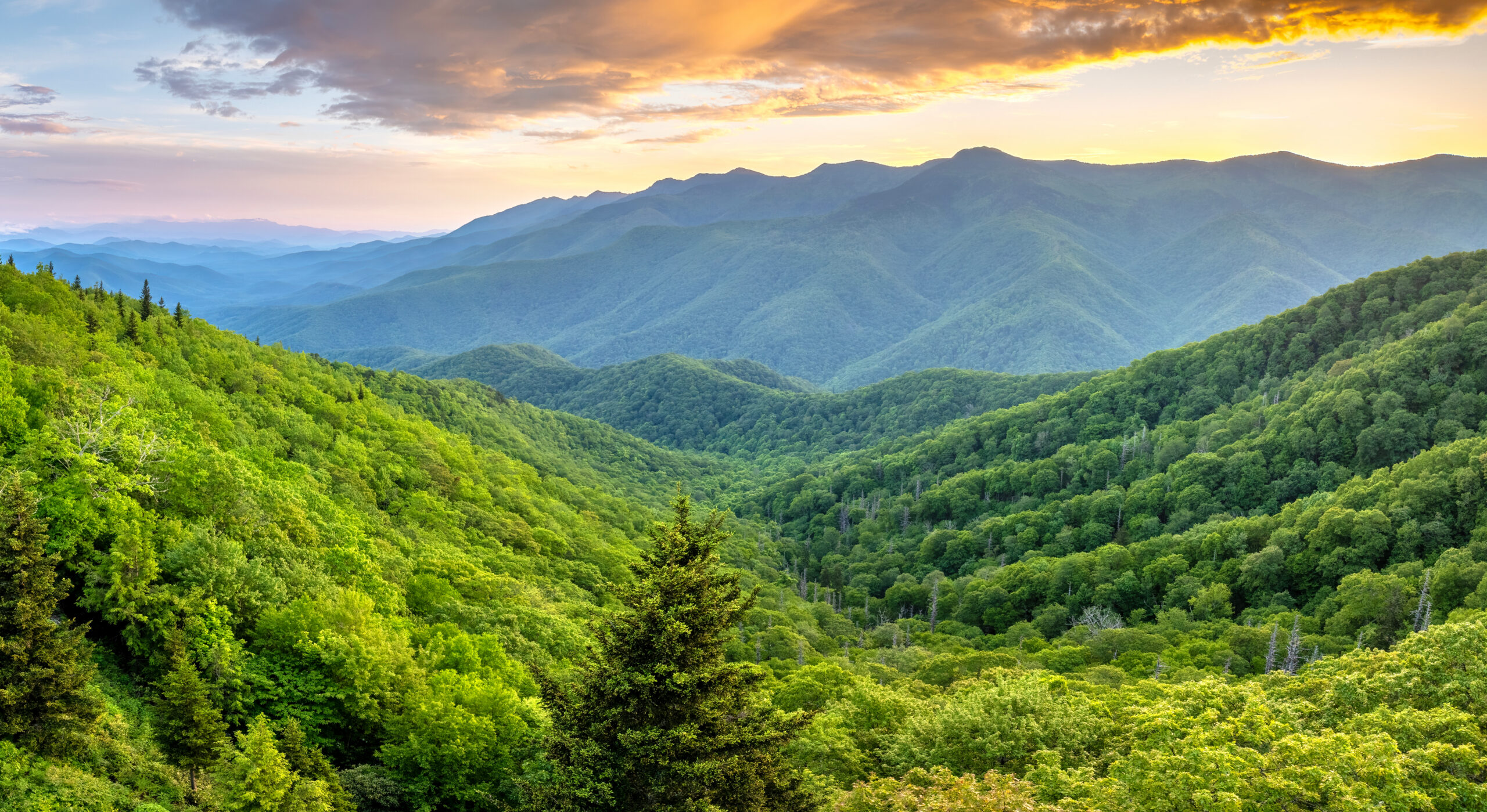
The Appalachian Trail Is Hundreds of Miles Shorter—and Still Takes Many Hikers Longer.
The A.T.’s repeated climbs, rocky tread and weather suppress daily mileage. The PCT adds roughly 450 more miles, but long sections of better-graded trail often allow experienced hikers to cover more ground each day when conditions cooperate.
High Western Mountains vs Relentless Appalachian Tread
The two trails challenge movement differently. Absolute elevation tells only part of the story.
Long Grades, High Passes and Big Exposure
The PCT traverses Southern California desert ranges, the Sierra Nevada, volcanic Northern California, Oregon and the North Cascades. PCTA’s trail-design criteria generally favor contouring alignment and manageable grades.
That does not make the route easy. Snow-covered passes, creek crossings, long water gaps, wildfire closures and remote terrain can transform a normally straightforward trail into a serious wilderness problem.
Up, Down, Rocks, Roots—and Repeat
ATC describes the A.T. as mountainous for its entire length. Much of the tread is rocky, root-filled or muddy, and flatter sections are often interrupted by another climb.
New Hampshire and Maine become particularly rugged, with steep ascents, scrambling and slower daily mileage even for hikers who have already developed strong trail legs.
The PCT Is a Timing Puzzle. The A.T. Is an Endurance Test Against Weather.
Both trails require weather judgment, but the recurring problems are very different.
Heat & Water
Southern California can combine high temperatures with long distances between reliable water sources. Capacity changes with current conditions.
Snow & Creeks
Early entry can mean steep snow travel and high creek flows. Entering too late reduces the remaining season farther north.
Rain & Humidity
Extended wet periods, summer heat, mud and humidity make moisture management a continuous part of the hike.
Exposure & Autumn
Above-treeline weather can deteriorate rapidly, while northbound hikers must keep an eye on Katahdin’s autumn operating window.

A Start Date Is Part of the Route Strategy.
PCTA says more than 90% of PCT thru-hikers travel northbound and recommends late April or early May as a general northbound starting period, while stressing that snow conditions ultimately matter.
Appalachian Trail northbound hikers generally start in Georgia from late winter into early spring. ATC also actively promotes flip-flop itineraries because they can reduce crowding and expand the usable weather window.
Direction should therefore be treated as a weather and logistics decision—not simply tradition.
The PCT Has the More Centralized Long-Distance Permit System
Neither route should be approached as permit-free. The difference is how the permissions are organized.
PCT Long-Distance Permit
Hikers planning a single continuous trip of at least 500 miles can apply for the interagency PCT Long-distance Permit. It covers many areas that otherwise require individual local permits.
Availability is limited for certain itineraries, including popular northbound starts. A permit also does not replace every other legal requirement along the route.
Official PCT permit system →No Single Trail-Wide Permit
ATCamp registration is voluntary and helps spread hikers across start dates, but it is not a permit or campsite reservation.
Separate permits apply in places including Great Smoky Mountains National Park, Shenandoah National Park and Baxter State Park. Requirements should be rechecked before the hike.
Official A.T. permits and fees →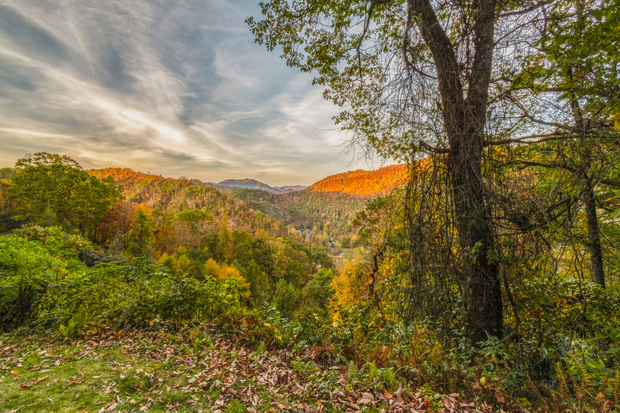
On the A.T., Towns and Shelters Are Part of the Trail Story. On the PCT, Distance Between Them Often Matters More.
Both trails develop powerful communities, but the rhythm differs. The A.T. repeatedly reconnects hikers with shelters, roads, hostels and trail towns. The PCT often creates longer stretches where the wilderness itself dominates the day.
Both Trails Have Infrastructure—But It Feels Different
Resupply planning is not just a food problem. It controls pack weight, town time, budget, transportation and the social rhythm of the hike.
More Deliberate Resupply
PCT resupply can involve resorts, small stores, trailheads, hitches and side trips into larger towns. Some locations are well suited to buying food; others encourage advance planning or mailed boxes.
Frequent Town Interaction
The Appalachian Trail crosses roads regularly and has a large network of communities, hostels, shuttle drivers and services oriented toward hikers.
Flexibility Beats a Perfect Spreadsheet
Appetite, pace, closures, injuries and changing preferences make over-planning every food stop months in advance less useful than understanding the major logistical gaps.
Budget Differences Are Driven More by Behavior Than Trail Length
Town stays, restaurant meals, transportation, replacement gear and unexpected time off can overwhelm small differences in food or permit costs.
$8,000–$12,000+
PCTA currently describes this as a typical thru-hike spending range. The number can rise with hotels, restaurants, medical issues, transportation, replacement gear and extended time off.
Pre-trip gear and the travel required to reach and leave the termini should be treated separately when building a complete budget.
About $1,200 per Month
ATC says most hikers average roughly $1,200 a month during the hike itself. Because a typical A.T. thru-hike lasts five to seven months, time on trail becomes one of the biggest cost variables.
ATC separately notes that a new backpacking setup can cost roughly $1,200–$2,000 or more.
The Core Kit Can Be Similar. The Risk-Specific Pieces Change.
Both trails need shelter, insulation, rain protection, water treatment, navigation and a reliable sleep system. Geography changes the emphasis.
Water Capacity
Southern California can require significantly more storage capacity than hikers carry through wetter sections.
Snow Equipment
Ice axe, traction or other snow-travel equipment may become relevant depending on timing and current conditions.
Wet-Weather System
Persistent rain and humidity place a premium on protecting insulation, managing wet feet and functioning while damp.
Cold Ends of the Season
Early southern starts and late New England finishes can require warmer layers than the middle of the hike.
Two Long Trails on Opposite Sides of the United States
The western and eastern settings explain many of the differences in climate, trail design, elevation, resupply and scenery.
Mexico to Canada through California, Oregon and Washington.
Springer Mountain, Georgia to Katahdin in Maine through 14 states.
Runs between them along the Continental Divide and completes the U.S. Triple Crown of Hiking.
Match the Trail to the Problems You Want to Solve
There is no universal winner. Use your own priorities to narrow the choice.
| If this matters most… | Look harder at the PCT when… | Look harder at the A.T. when… |
|---|---|---|
| Scenery style | You are drawn to deserts, granite high country, volcanoes and wide western landscapes. | You are drawn to forests, Appalachian ridges, autumn color and historic eastern mountains. |
| Trail community | You want community but also value long stretches dominated by wilderness travel. | You want shelters, hostels, frequent trail towns and a highly visible thru-hiker culture. |
| Daily movement | You enjoy settling into long-distance hiking rhythm and sustained mileage. | You enjoy repeated climbing and do not mind slower miles on rough tread. |
| Weather challenge | You would rather manage water, heat, snow timing and wildfire uncertainty. | You would rather manage repeated rain, humidity, mud and rapidly changing mountain weather. |
| Logistics | You are comfortable with longer food carries and more deliberate town access. | You value frequent access to roads, services, resupply and accommodation. |
| Trip duration | A roughly five-month target fits your available window. | A five-to-seven-month itinerary fits your available window. |
| Permit planning | You are prepared to work within a centralized long-distance permit and start-date system. | You prefer a route without one trail-wide permit while managing several local requirements. |
Neither Trail Requires a Previous Thru-Hike. Both Reward Previous Backpacking.
A first-time thru-hiker does not need another 2,000-mile trail on the résumé. But a multi-night shakedown trip should already feel routine: pitching the shelter, protecting insulation, filtering water, managing food, treating foot problems and navigating when tired.
The most useful preparation is a shorter trip that exposes the same weaknesses your chosen trail will amplify. For the PCT, practice with loaded water and elevation. For the A.T., seek steep, rocky terrain and hike it in imperfect weather.
Verify the Details That Can Change Before Departure
Trail length, permits, wildfire closures, snow, water, camping rules and access can change between planning and the day you reach that section.
PCT vs Appalachian Trail FAQ
These are broad planning comparisons. Conditions during the year you hike can materially change the experience.
Which is harder, the PCT or Appalachian Trail?
They are difficult in different ways. The Appalachian Trail is shorter but repeatedly steep, rocky, root-filled and often wet. The Pacific Crest Trail is longer and introduces desert water planning, high-elevation snow, more remote wilderness and a narrow seasonal window. Your own skills determine which challenge feels harder.
Which is longer, the PCT or Appalachian Trail?
The PCT is longer. PCTA’s January 2026 GIS update gives a best estimate of 2,655.84 miles. The official 2026 Appalachian Trail length is 2,197.9 miles.
How long does each trail take?
PCTA says a typical PCT thru-hike takes about five months, with roughly 4.5 to 5.5 months common. ATC says most Appalachian Trail thru-hikes take five to seven months and average just under six months.
Which trail has rougher hiking?
The A.T. generally has rougher day-to-day tread, including rocks, roots, mud, steep grades and constant elevation change. The PCT often has more gradual grades, but snow, water scarcity, creek crossings, fire damage and high elevation create separate challenges.
Which trail has more complicated permits?
The systems are different. A qualifying PCT long-distance hiker can use the interagency PCT Long-distance Permit for many permit areas, although start quotas and other rules apply. The A.T. has no single trail-wide permit, but hikers obtain separate permits in certain parks and jurisdictions.
Which trail is more social?
Both develop strong trail communities. The A.T.’s shelters, frequent towns, hostels and road crossings tend to keep hikers in regular contact. The PCT also has a strong thru-hiker community, particularly around popular starts and resupply points, but includes long wilderness stretches between those hubs.
Which is better for a first thru-hike?
Either can be a first thru-hike for someone with appropriate backpacking preparation. Choose based on whether your existing skills better match the PCT’s water, altitude, snow and seasonal logistics or the A.T.’s steep terrain, wet weather and extended time on trail.
Go From Comparison to Trail-Specific Planning.
The comparison tells you where the trails differ. The next step is to investigate each route individually, then connect the choice to gear, weather, access and the complete thru-hiking plan.

Do Not Ask Which Trail Is Better. Ask Which Experience You Want to Live Every Day.
Picture a difficult day. On the PCT it might mean a dry carry, a snowy pass or another twenty miles before the next practical exit. On the Appalachian Trail it might mean rain, mud, roots and another steep ridge before dark. The trail whose difficult days still sound meaningful is the one worth researching next.
Was this helpful?
Global Summit Guide is an independent mountaineering resource founded in 2026. The team combines first-hand trekking and climbing experience with in-depth research and professional health and nutrition review to help climbers choose objectives, prepare properly, and stay safe.
Health, altitude, and nutrition content is reviewed by Taylor Ludlow (Registered Nurse) and Brigg Hoopes (Nutritionist).
What We Don't Know Yet
Mountain information changes quickly. This box explains the limits of what this page can responsibly promise.
- Comparisons simplify complex decisions; the better mountain depends on current conditions, skills, timing, budget, and risk tolerance.
- Visa, passport, vaccination, border, insurance, and local transportation rules may change before your trip.
- Route conditions, snowpack, closures, and weather can change quickly after this page is updated.
- Permit rules, fees, quotas, and reservation windows may change between review cycles.
- Operator availability, pricing, guide ratios, and cancellation terms can change by season.
Verify current conditions with official land managers, guide services, local forecasts, and current route reports before booking or climbing.
Mountaineering, rock and ice climbing, glacier travel, and high-altitude activity are inherently dangerous and can result in serious injury or death. The information on Global Summit Guide is provided for general informational and educational purposes only and is not a substitute for professional instruction, qualified guiding, proper equipment, or your own judgment and experience.
Route conditions, weather, snowpack, permits, regulations, and hazards change constantly and may differ from what is described here. Details may be incomplete, out of date, or contain errors. Always verify current information with local authorities, certified guides, and official sources before making any decision in the mountains.
Nothing on this site is medical, legal, or financial advice. Our fitness, acclimatization, altitude, and nutrition content is general in nature; consult a qualified physician before beginning any strenuous exercise program or exposing yourself to high altitude.
You are solely responsible for your own safety and decisions. To the fullest extent permitted by law, Global Summit Guide and its team accept no liability for any loss, injury, damage, or expense arising from use of, or reliance on, this information. By using this site you acknowledge these risks and accept these terms.
Some links on this site may be affiliate links. If you buy through them we may earn a small commission at no extra cost to you; this never affects our recommendations.
Global Summit Guide recommendation path
Next Best Mountain to Research
Use these recommendations to continue the right planning path instead of stopping on one page.
Use current permit, weather, route, and operator information before booking or climbing.
Leave a Reply