
Last updated October 3, 2026
Chimborazo vs Cotopaxi: Which Ecuador Volcano Fits Your Climb?
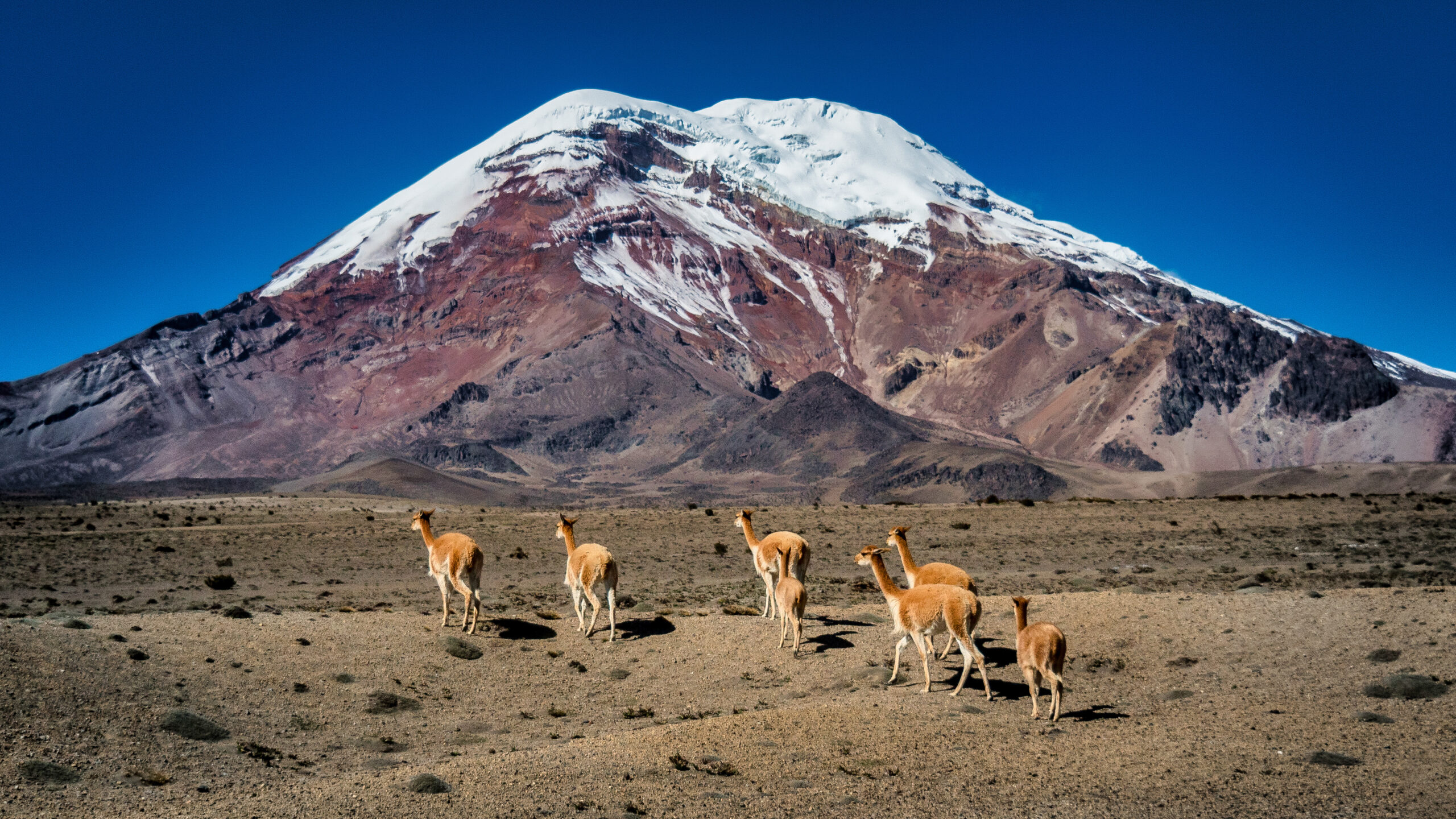
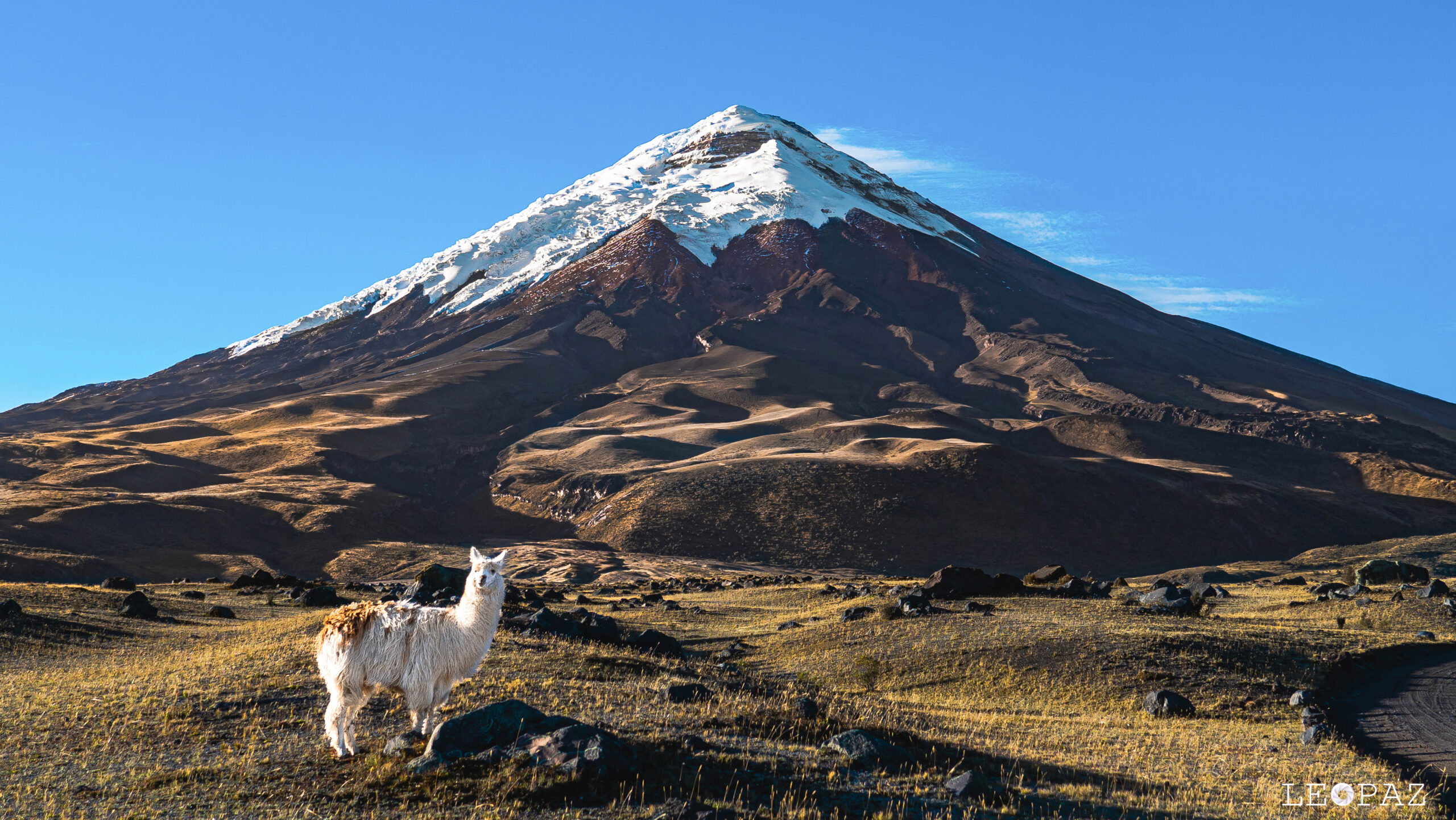
Chimborazo and Cotopaxi are often sold together, but they are not interchangeable objectives. Cotopaxi is the lower, more structured glacier climb. Chimborazo adds 366 metres of altitude, a substantially larger summit workload and a true summit above 20,000 feet. For many climbers, the most useful question is not which mountain is “better”—it is which one should come first.
Cotopaxi Is the Natural First Step. Chimborazo Is the Bigger Altitude Test.
Cotopaxi’s Normal Route begins around the José Ribas Refuge near 4,800 metres and climbs through genuine crevassed glacier terrain to the 5,897-metre crater rim. It is a real mountaineering objective, but its structure, refuge access and established guiding system make it a logical introduction to Ecuador’s major glacier volcanoes.
Chimborazo raises the summit to 6,263 metres and adds roughly 1,450 metres or more of summit-day gain from the Carrel Refuge system. Ecuador’s official route material lists major summit lines requiring approximately eight to ten hours of ascent alone, depending on the route.
For climbers attempting both on one trip, Cotopaxi commonly fits earlier in the progression, while Chimborazo becomes the higher capstone objective. The sequence still depends on volcanic access, glacier conditions, acclimatization and recovery between climbs.
Chimborazo vs Cotopaxi at a Glance
The climbing techniques overlap. The altitude, summit workload and access risks do not.
| Factor | Chimborazo | Cotopaxi |
|---|---|---|
| Elevation | 6,263 m / 20,548 ft | 5,897 m / 19,347 ft |
| Ecuador rank | #1 | #2 |
| Mountain type | Glaciated stratovolcano | Glaciated active stratovolcano |
| Typical staging | Carrel Refuge / high-camp system | José Ribas Refuge · ~4,800 m |
| Summit objective | Whymper Summit | Crater rim summit |
| Official summit gain | ~1,450 m+ | ~1,100 m |
| Ascent workload | Official Ecuador routes list roughly 8–10 hours of ascent | Current route guide lists roughly 5–8 hours of ascent |
| Technical character | Glacier, crevasses, changing snow/ice, possible avalanche and rockfall exposure | Glacier, crevasses, snow bridges and approximately 35–40° upper snow in current guidance |
| Altitude burden | Greater | Very high |
| Volcanic status issue | Potentially active; not currently erupting | Active and continuously monitored |
| Access | Advance high-mountain authorization required | Managed summit quotas, registration and park requirements |
| Planning role | Higher capstone objective | Lower major glacier objective / progression climb |
“Introductory” Does Not Mean Non-Technical.
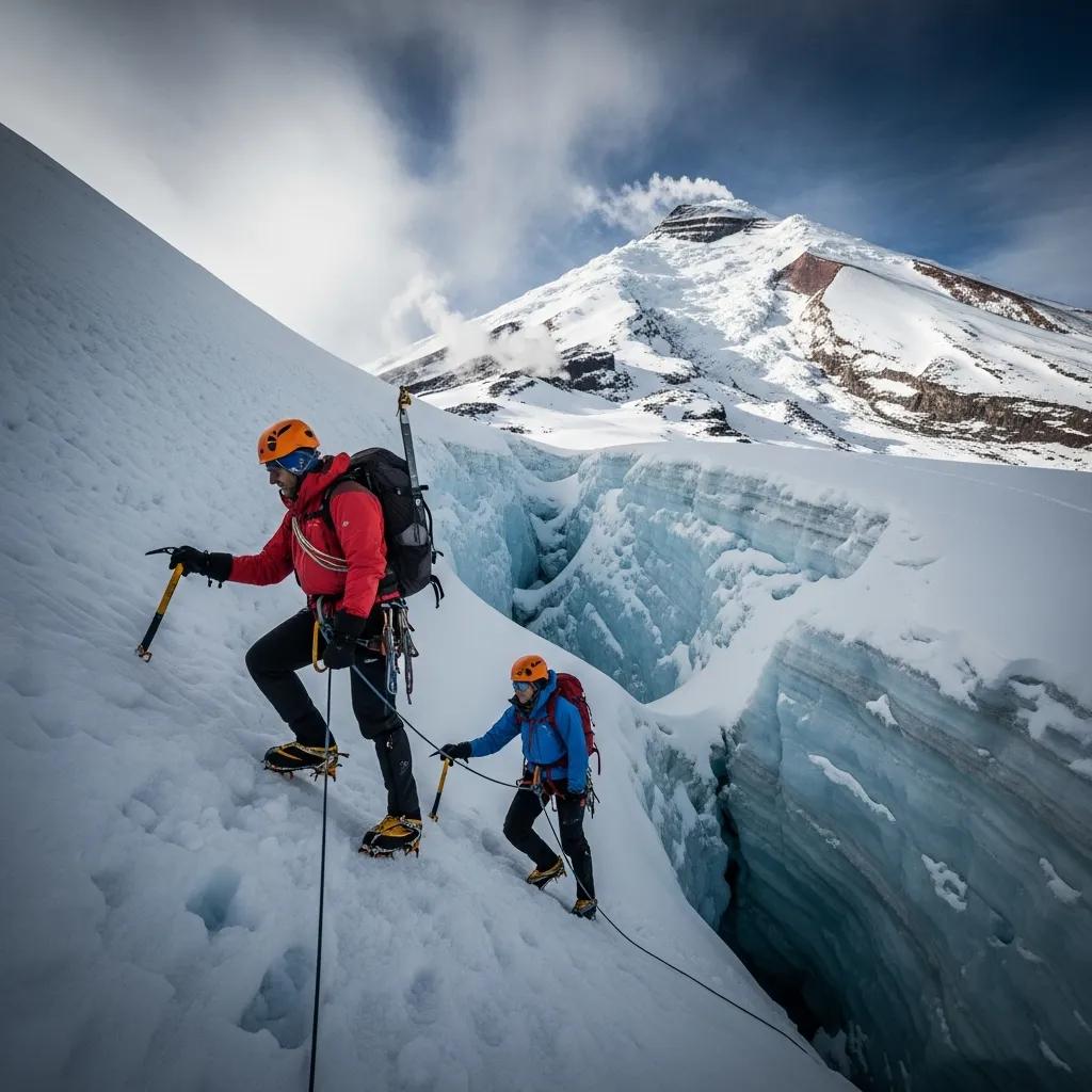
Cotopaxi is often described as an accessible glacier volcano, but climbers still travel roped through crevassed terrain, cross changing snow bridges and use crampons and an ice axe at almost 5,900 metres.
Cotopaxi Has a Clear Normal-Route Structure. Chimborazo Requires More Route Flexibility.
Glacier recession means neither mountain should be navigated from a historic GPX track or an old trip report.
El Corredor / El Castillo Framework
Ecuador’s current official route graphic publishes two principal southwest-side summit systems from the Carrel Refuge area.
- El Corredor: official map lists approximately 4.5 km and 8–9 hours of ascent.
- El Castillo: approximately 5.5 km and 9–10 hours of ascent.
- Both gain roughly 1,450 metres or more.
- Veintimilla is lower than the true Whymper Summit.
- Current guide knowledge should determine the practical line.
José Ribas Normal Route
Cotopaxi’s broad route structure is simpler: refuge, moraine, glacier and summit crater rim. The exact glacier line changes.
- Stage around Refugio José Ribas near 4,800 m.
- Depart around midnight or shortly afterward.
- Cross rock and moraine toward the glacier.
- Rope up for crevassed glacier travel.
- Navigate current snow bridges and crevasse systems.
- Climb steeper upper snow toward the crater rim.
- Descend before warming degrades snow conditions.
Chimborazo’s Moderate Technique Hides a Large Physical Problem.
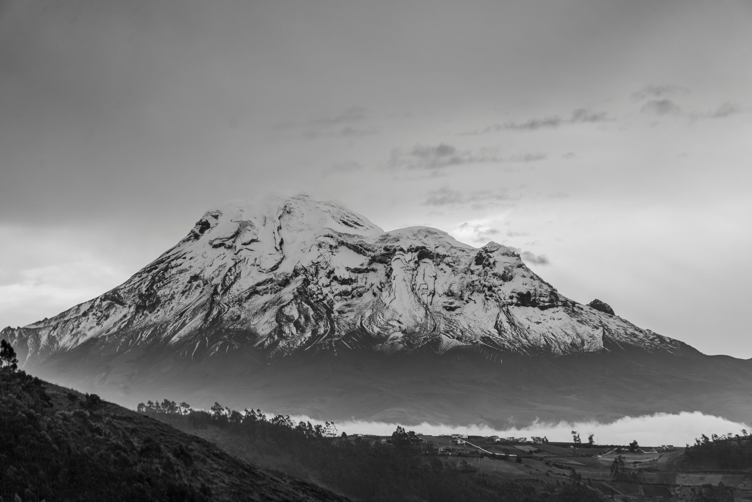
There may be no single technical crux comparable with a steep Alpine rock route, but the mountain asks climbers to travel for hours on a glacier while cold, tired and operating above 6,000 metres.
Chimborazo Adds More Altitude and More Workload.
Both require glacier competence. Chimborazo pushes the same general skill family into a more severe physiological environment.
Chimborazo
The true summit reaches 6,263 metres—high enough that acclimatization becomes the dominant planning variable.
Cotopaxi
Refuge access and established guiding make it a more structured introduction to serious Ecuadorian glacier terrain.
Chimborazo
Roughly 1,450 metres or more of official route gain creates a demanding overnight endurance test.
Cotopaxi
Summit access can change independently of snow, fitness or weather because volcanic monitoring controls access.
Both
Neither mountain has a permanent glacier line. Snow bridges and crevasse patterns evolve.
Both
Cold early starts help teams use firmer snow and complete the descent before stronger equatorial warming.
Chimborazo Crosses the 6,000-Metre Threshold.
The elevation difference looks small on paper. Physiologically, it arrives at exactly the wrong end of the climb.
5,897 m / 19,347 ft
Cotopaxi is already an extreme-altitude objective. Climbers arriving from low elevation generally need a deliberate in-country acclimatization plan rather than flying into Quito and immediately attempting the summit.
6,263 m / 20,548 ft
Chimborazo adds another 366 metres and usually a longer summit workload. It is an excellent example of why technical grade alone does not describe mountain difficulty.
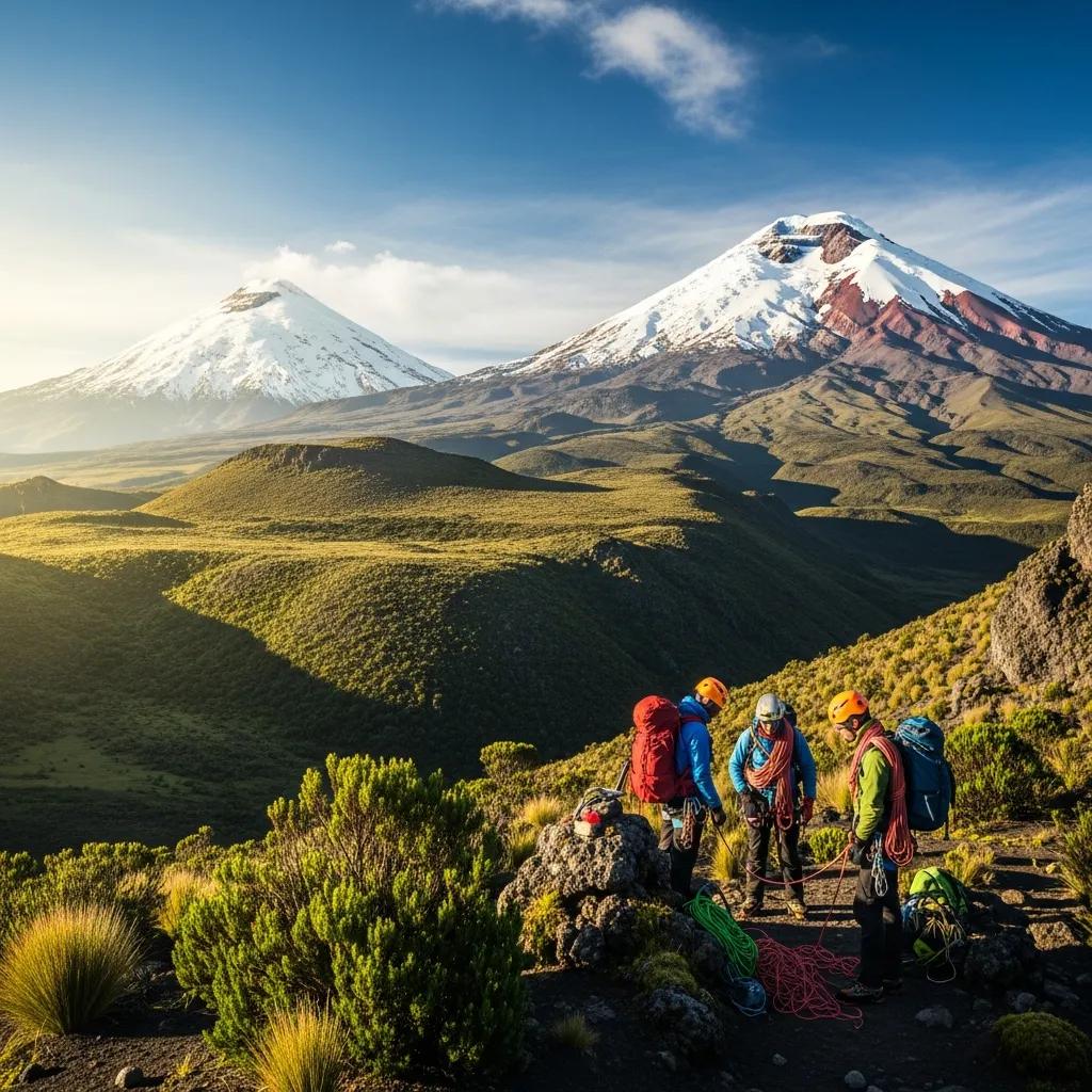
You Can Build Altitude Without Leaving the Same Country.
Quito, Rucu Pichincha, Iliniza Norte, Cayambe, Cotopaxi and Chimborazo create an unusually efficient progression from high hiking into glacier mountaineering and eventually above 6,000 metres.
The Gear Categories Are Similar. The Margin for Error Is Not.
Both mountains require real glacier equipment, but Chimborazo asks the climber to keep that system working for longer and at greater altitude.
Glacier Gear + Volcanic Safety
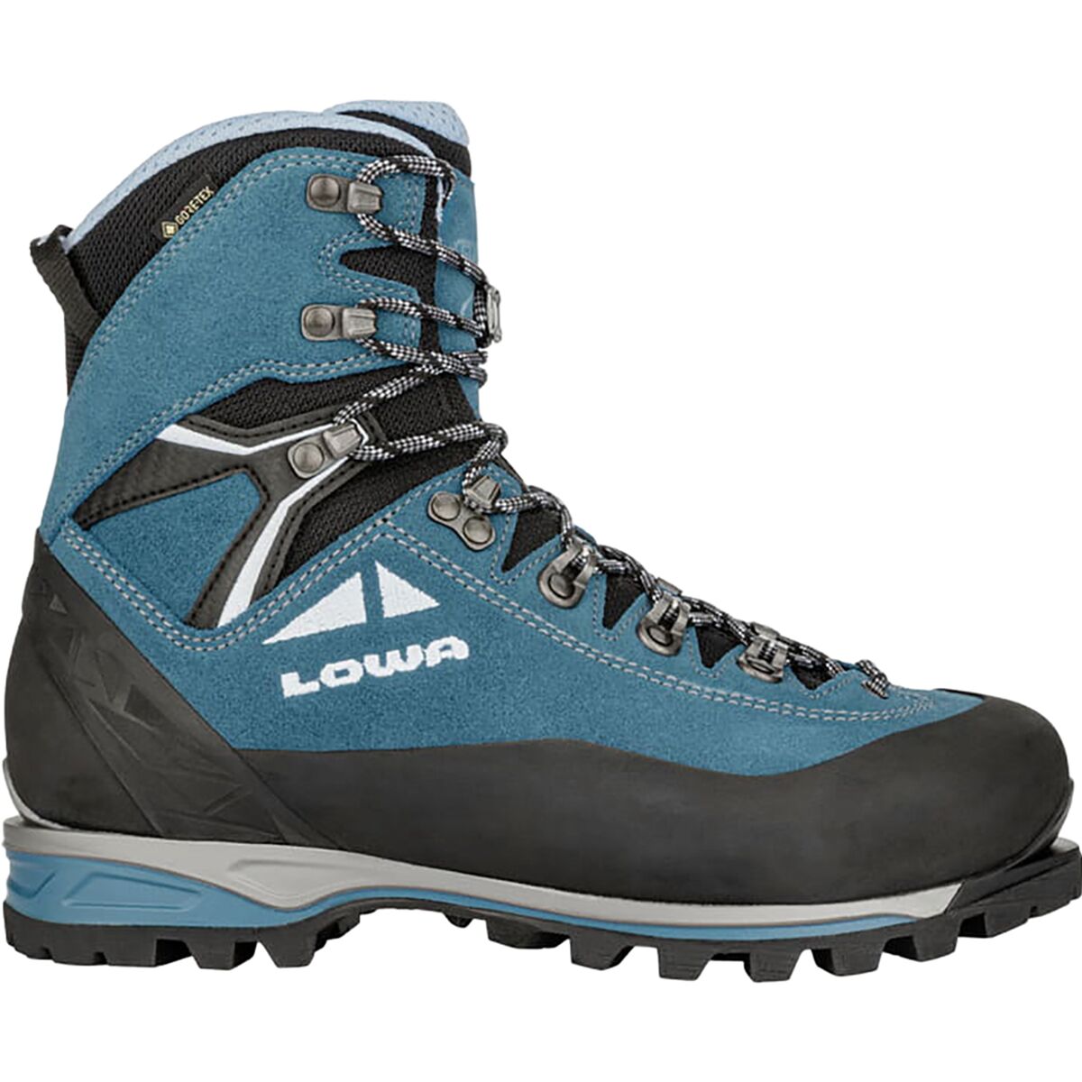
- Mountaineering boots compatible with crampons.
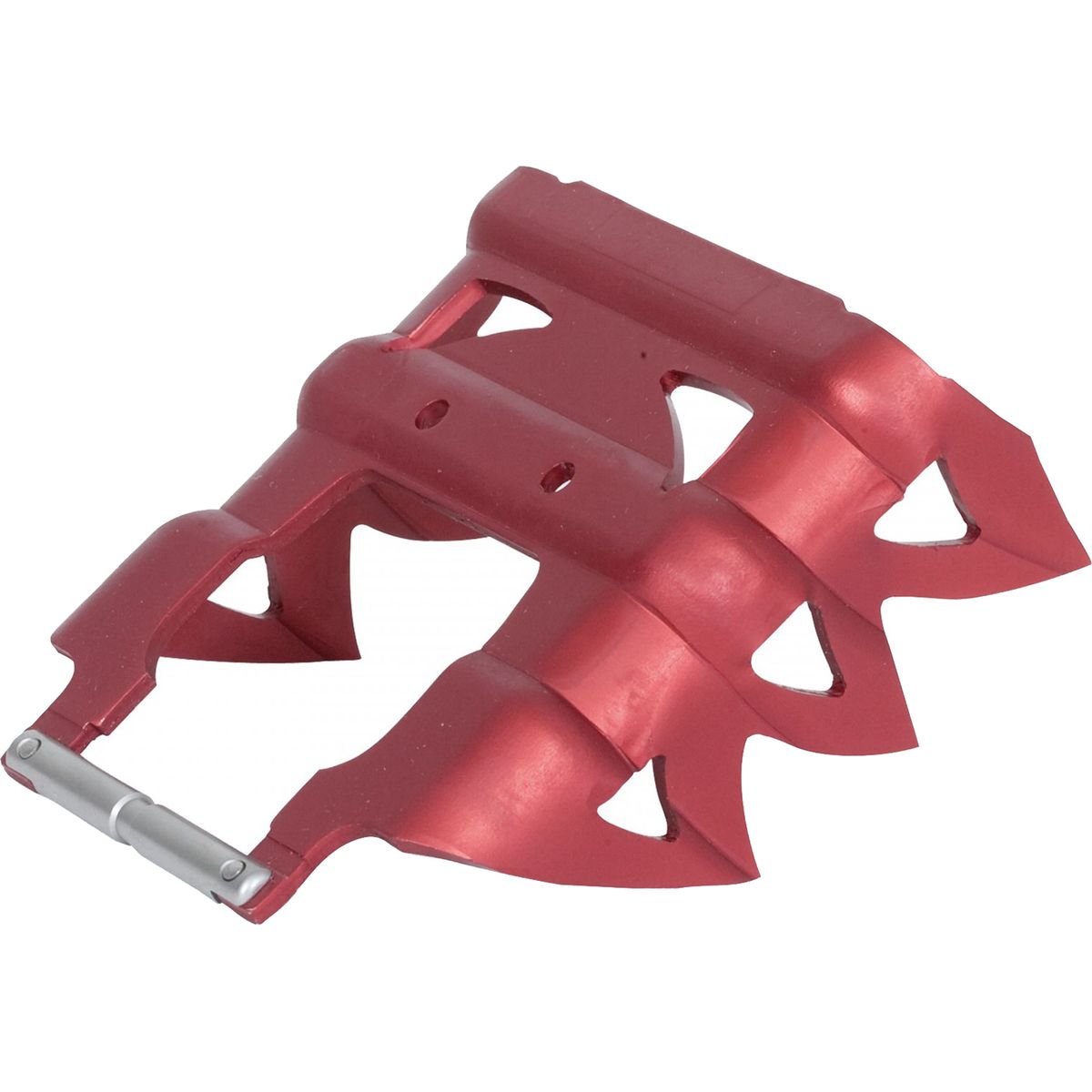
- Steel crampons appropriate to the route.
- Ice axe.
- Harness and rope-team attachment system.
- Helmet.
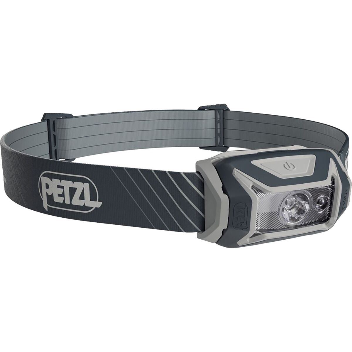
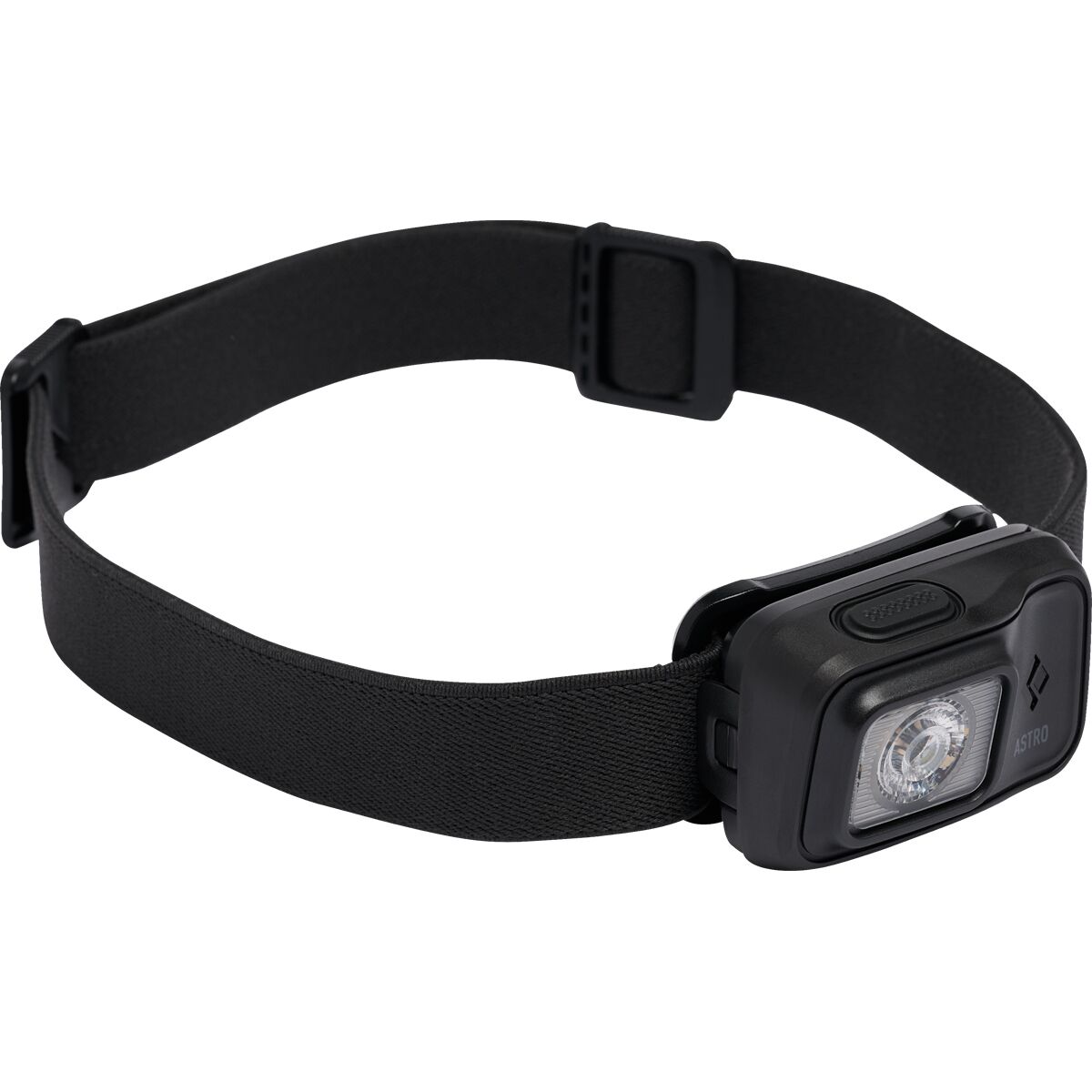
- Reliable headlamp for the midnight start.
- Glacier-rated sunglasses and strong sun protection.
- Any volcanic-safety equipment required by current park rules.
Similar Hardware, Greater Cold and Duration
- Cold-capable mountaineering boots.
- Compatible crampons.
- Ice axe.
- Harness and rope system.
- Helmet.
- Reliable headlamp and cold-protected spare power.
- Substantial glove and insulation system.
- Glacier eyewear and intense equatorial UV protection.
Ecuador Glacier-Climbing Gear
Compare current boots, crampons, ice axes and headlamps after confirming what your guide supplies and what must fit you personally.
Ecuador Glacier-Climbing Gear

A Road and Refuge Do Not Make 5,897 Metres Easy.
Cotopaxi’s access is unusually convenient for a major glacier climb. That makes it easier to organize—not easier for the body to acclimatize to nearly 5,900 metres.
The Mountains Share Glacier Risk but Add Different Complications.
The lower technical grade of a volcano does not remove crevasses, weather, altitude or changing access.
| Hazard | Chimborazo | Cotopaxi |
|---|---|---|
| Altitude | Greater | Very high |
| Crevasses | Changing tropical glacier terrain | Changing glacier and snow-bridge system |
| Avalanche | Official route material identifies avalanche terrain | Snow loading and upper glacier conditions matter |
| Serac / icefall | Present in current hazard framework | Crevassed and serac terrain can affect the Normal Route |
| Rockfall | Important as glacier recession exposes terrain | Lower moraine / volcanic terrain can change with conditions |
| Volcanic activity | Potentially active volcano | Active volcano under continuous monitoring |
| Summit workload | Longer and higher | Shorter but still substantial |
| Sun / warming | Equatorial warming affects glacier timing | Early descent protects against deteriorating snow conditions |
Cotopaxi Has a Volcanic Access Variable That Chimborazo Does Not.
Do not publish or book around a permanent assumption that Cotopaxi is always open.
Low Activity · No Change
Ecuador’s Instituto Geofísico reported Cotopaxi in relative calm in September 2026, with internal and surface activity classified as low and unchanged.
Commercial summit programs are operating, but access remains controlled. Current procedures involve summit authorization, protected-area registration and requirements administered through operators or recognized mountain organizations.
Always recheck before travel. A volcanic-status paragraph can become stale faster than almost anything else on this page.
Authorization + Live Glacier Conditions
Current protected-area guidance requires advance authorization for high-mountain activities.
The current guidance explicitly references independent persons as well as agencies and operators, so the page should not repeat old blanket claims that every summit climb is categorically illegal without a guide.
Glacier condition remains the faster-changing issue: current local information should determine route choice.
Chimborazo Is Famous for More Than Its Elevation.
Because Earth bulges around the equator, Chimborazo’s summit lies farther from Earth’s center than any other point on the planet. Everest remains much higher above sea level.
Conditions Matter More Than Four-Season Labels.
Ecuador’s near-equatorial position creates climbing windows based more on wind, snow, precipitation and glacier condition than a classic summer-versus-winter calendar.
| Planning Window | Chimborazo | Cotopaxi |
|---|---|---|
| June–August / September | Popular period; official Chimborazo guidance describes clearer skies with possible strong wind | Primary GSG climbing window through roughly September |
| November–January | Popular secondary period with less wind and potentially greater snow coverage | December–January is another commonly used window |
| Year-round? | Possible when conditions and access allow | Climbed in multiple seasons, but volcanic and glacier status must remain acceptable |
| Final decision | Live glacier + weather conditions | Volcano status + park access + glacier + weather |
If You Want Both, Build the Trip as a Progression.
Ecuador’s geography makes sequencing the peaks more useful than treating them as competing destinations.
Cotopaxi
- Summit below 6,000 m.
- Structured refuge-based summit cycle.
- Real rope-team glacier travel.
- Crampon and ice-axe experience.
- Useful high-altitude performance data.
- Potential bridge between Iliniza Norte and Chimborazo.
Chimborazo
- First major step above 6,000 m for many climbers.
- Larger summit elevation gain.
- Longer overnight effort.
- Same glacier fundamentals at greater altitude.
- Requires enough recovery after earlier Ecuador objectives.
- Strong capstone for an Avenue of the Volcanoes trip.
Quito → Acclimatization Peak → Cotopaxi → Recovery → Chimborazo
That sequence is not a prescription for every climber. Recent altitude exposure, weather, Cotopaxi access, glacier conditions and individual recovery can justify changing the order or dropping an objective entirely.
Cotopaxi and Chimborazo Fit the Same Ecuador Climbing Corridor.
The relatively compact geography is what makes a staged Ecuador altitude progression so attractive.
Useful starting elevation for the Ecuador altitude ladder.
Lower of the two major glacier-volcano objectives.
Ecuador’s highest summit and common capstone objective.
Multiple acclimatization mountains are available between Quito and the two major glacier peaks.
Compare the Whole Ecuador Program—not Just the Summit Module.
Short mountain packages often assume that the difficult acclimatization work happened before the advertised itinerary began.
What Acclimatization Is Included?
A low headline price means little if the climber still needs several independent acclimatization days and peaks.
What Gear Is Supplied?
Confirm boots, crampons, axe, helmet, harness and rope system rather than assuming every technical item is included.
What Happens if Cotopaxi Closes?
An Ecuador program should explain its fallback plan if volcanic or park access changes.
How Recent Is the Route Knowledge?
A guide actively working on the glacier is more valuable than a beautifully detailed route description from several seasons ago.
How Much Recovery Is Built In?
Cotopaxi can improve acclimatization for Chimborazo while simultaneously creating fatigue. Recovery days matter.
What Does Insurance Actually Cover?
Check altitude and technical-mountaineering exclusions, rescue requirements and evacuation terms before departure.
Frequently Asked Questions
Is Chimborazo harder than Cotopaxi?
Which is higher, Chimborazo or Cotopaxi?
Should I climb Cotopaxi before Chimborazo?
Can you climb Cotopaxi in 2026?
Is Cotopaxi technically difficult?
How long is Chimborazo summit day?
What is Chimborazo’s true summit?
Why is Chimborazo the farthest point from Earth’s center?
Do I need crampons and an ice axe for both?
Can I climb Chimborazo without a guide?
Which mountain should be the final objective on an Ecuador trip?
Cotopaxi Builds the Glacier System. Chimborazo Raises the Altitude Test.
The strongest Ecuador plan does not need to choose one mountain and dismiss the other. Cotopaxi can provide a structured glacier objective below 6,000 metres. Chimborazo then asks whether the same climbing fundamentals still work during a longer summit night above 6,200 metres. Build acclimatization first, preserve recovery between climbs and let current mountain conditions decide what actually gets attempted.
Was this helpful?
🏔Related peaks nearby
🧭Explore & compare
Global Summit Guide is an independent mountaineering resource founded in 2026. The team combines first-hand trekking and climbing experience with in-depth research and professional health and nutrition review to help climbers choose objectives, prepare properly, and stay safe.
Health, altitude, and nutrition content is reviewed by Taylor Ludlow (Registered Nurse) and Brigg Hoopes (Nutritionist).
What We Don't Know Yet
Mountain information changes quickly. This box explains the limits of what this page can responsibly promise.
- Comparisons simplify complex decisions; the better mountain depends on current conditions, skills, timing, budget, and risk tolerance.
- Visa, passport, vaccination, border, insurance, and local transportation rules may change before your trip.
- Route conditions, snowpack, closures, and weather can change quickly after this page is updated.
- Permit rules, fees, quotas, and reservation windows may change between review cycles.
- Operator availability, pricing, guide ratios, and cancellation terms can change by season.
Verify current conditions with official land managers, guide services, local forecasts, and current route reports before booking or climbing.
Mountaineering, rock and ice climbing, glacier travel, and high-altitude activity are inherently dangerous and can result in serious injury or death. The information on Global Summit Guide is provided for general informational and educational purposes only and is not a substitute for professional instruction, qualified guiding, proper equipment, or your own judgment and experience.
Route conditions, weather, snowpack, permits, regulations, and hazards change constantly and may differ from what is described here. Details may be incomplete, out of date, or contain errors. Always verify current information with local authorities, certified guides, and official sources before making any decision in the mountains.
Nothing on this site is medical, legal, or financial advice. Our fitness, acclimatization, altitude, and nutrition content is general in nature; consult a qualified physician before beginning any strenuous exercise program or exposing yourself to high altitude.
You are solely responsible for your own safety and decisions. To the fullest extent permitted by law, Global Summit Guide and its team accept no liability for any loss, injury, damage, or expense arising from use of, or reliance on, this information. By using this site you acknowledge these risks and accept these terms.
Some links on this site may be affiliate links. If you buy through them we may earn a small commission at no extra cost to you; this never affects our recommendations.
Global Summit Guide recommendation path
Next Best Mountain to Research
Use these recommendations to continue the right planning path instead of stopping on one page.
Use current permit, weather, route, and operator information before booking or climbing.