Global Summit Guide logo featuring mountain imagery, symbolizing hiking and mountaineering resources for trip planning and safety.

Tag: hiking safety

  • Canadian Rockies Access Watch: Smoke & Closures — Aug. 2026

    Canadian Rockies mountain wilderness across Banff and Jasper
    Access Watch · August 15, 2026 · Banff · Jasper · Yoho · Kootenay

    Canadian Rockies Mid-August 2026 Access Watch: Smoke, Closures & Trail Changes

    The Rockies were not broadly closed in mid-August—but Jasper wildfire recovery, Banff bear restrictions, a Kootenay bridge washout, park-wide fire bans and fast-moving smoke conditions could materially change a planned hiking day.

    Parks Canada sourcesEnvironment Canada smoke checksDated Aug. 15 snapshot4 GSG-hosted images
    Aug 14Jasper closure effective
    Jul 30Fire bans active
    Aug 11Lake Louise bear warning
    7 daysArchive horizon
    By Travis Ludlow · Global Summit Guide
    6.6 Timely Post · Coverage date August 15, 2026
    The mid-August answer

    Most Major Hiking Zones Were Usable—but “Open” Did Not Mean Normal.

    For long-term route selection, use Best Hikes in the Canadian Rockies; that page is the evergreen owner. This article is only a dated August 15, 2026 access snapshot covering short-lived changes that could alter a hike this week.

    The biggest issue was Jasper, where a new closure effective August 14 kept Edith Cavell Road and trails closed along with Maligne Canyon and other wildfire-impacted areas. Banff remained under a park-wide fire ban and had new or continuing bear warnings and seasonal restrictions. Kootenay’s Numa Creek closure disrupted the standard Rockwall Trail plan, while Yoho remained under extreme fire danger and a park-wide fire ban.

    Smoke was a watch item, not a blanket closure. Banff and Jasper had experienced wildfire-smoke air-quality warnings earlier in August, but Environment Canada showed no active air-quality alert for Banff, Lake Louise or Jasper near Pocahontas on August 13. Because smoke can move hour by hour, the correct decision was to check AQHI and smoke forecasts on the morning of the hike.

    JasperMajor closures
    BanffFire ban + bears
    KootenayNuma Creek closed
    YohoExtreme fire danger
    Archive warning: these are conditions around August 15, 2026, not current instructions for a later trip. Always replace this snapshot with the latest Parks Canada bulletin, trail report, AQHI and road information before departure.
    August 15 access watch

    The Seven Changes That Mattered Most

    Closures, restrictions, advisories and ordinary trail-condition changes require different responses.

    01 · Region-wideSmoke watch
    Banff + Jasper · wildfire smoke

    Smoke Had Eased From the Previous Weekend—but Could Return Quickly

    Environment Canada issued moderate air-quality warnings for Banff and Jasper during the August 8–10 period as wildfire smoke reduced visibility and air quality. By August 13, the official alert pages for Banff, Lake Louise and Jasper near Pocahontas showed no active air-quality warning.

    That did not make smoke irrelevant. Parks Canada directs visitors to AQHI and smoke forecast products because smoke can accumulate or dissipate rapidly and may originate hundreds of kilometres away.

    What to do: check AQHI and smoke forecasts on the morning of any strenuous high-country hike. Reduce exertion or change plans when official air-quality guidance warrants it.
    Snapshot: warnings earlier in August; no active Banff/Lake Louise/Jasper-Pocahontas warning on Aug. 13.
    02 · JasperMajor closure
    Jasper National Park · wildfire recovery

    A New August 14 Closure Kept Edith Cavell and Maligne Canyon Off-Limits

    Parks Canada issued a new wildfire-impact closure effective August 14. Edith Cavell Road and the Edith Cavell trail area remained closed, including Path of the Glacier and Cavell Meadows. Maligne Canyon trails and surrounding land were closed from First Bridge to the Fifth Bridge junction.

    Wabasso Campground also remained closed, while portions of other trail corridors were specifically reopened. This was not a park-wide closure; it was a map-and-corridor problem.

    What to do: remove Edith Cavell and Maligne Canyon from an August 15 itinerary rather than looking for informal workarounds.
    Issued Aug. 13; effective Aug. 14, 2026.
    03 · BanffFire ban
    Banff National Park · elevated fire danger

    No Active Banff Wildfire—but the Park-Wide Fire Ban Still Mattered

    Parks Canada reported no active wildfires inside Banff National Park, but the fire ban that began July 30 remained in effect until further notice. The ban covered frontcountry and backcountry campgrounds and day-use areas.

    No active fire does not mean normal fire rules. Parks Canada noted that deep fuels can remain dry even after cooler or wetter weather.

    What to do: backpackers should plan meals around permitted gas or propane systems and never assume an existing fire ring makes a campfire legal.
    Fire ban effective July 30 until further notice.
    04 · Banff / Lake LouiseBear activity
    Lake Louise Village + Lake Minnewanka

    Berry Season Added New Warnings and Continuing Group-Size Rules

    A Lake Louise Village bear warning issued August 11 covered the village, RV campground and Bow River trails because black and grizzly bears were feeding on berries. Parks Canada advised carrying bear spray, making noise and giving bears at least 100 metres of space.

    At Lake Minnewanka, seasonal restrictions continued through September 15 on specified trails beyond Stewart Canyon: minimum group size of four, bear spray required, no dogs and no bicycles in the restricted area.

    What to do: treat group-size and dog/bike rules as legal access conditions, not optional bear advice.
    Lake Louise warning issued Aug. 11; Minnewanka restriction through Sep. 15.
    05 · KootenayTrail closure
    Rockwall Trail · Numa Creek

    The Numa Creek Bridge Washout Broke the “Normal” Rockwall Assumption

    Parks Canada listed the Numa Creek trail closed from the Numa Falls Bridge to Numa Creek Campground because of a bridge washout and debris. The August 10 report continued to show the trail closed until further notice.

    This matters beyond one segment because Numa Creek is part of the standard Rockwall backpacking system. An old itinerary does not prove the through-route works as planned.

    What to do: do not follow a standard Rockwall camp sequence without reconciling it against the closure and latest Parks Canada backcountry information.
    Closure issued May 21; still listed closed Aug. 10.
    06 · YohoExtreme fire danger
    Yoho National Park · British Columbia

    Main Access Was Open—but Fire Danger Remained Extreme

    Yoho’s report still showed extreme fire danger tied to the July 30 park-wide fire ban. At the same time, Yoho Valley Road to Takakkaw Falls and Wapta Falls Road were open in the latest access report, while parking at Takakkaw Falls and Emerald Lake remained limited.

    On August 15, Hoodoos and Ottertail Valley were listed in good condition. The issue in Yoho was elevated fire danger and local logistics, not a broad trail shutdown.

    What to do: keep the hike, remove the campfire, arrive with a parking strategy and keep checking for new fire or road notices.
    Fire ban effective July 30; trail entries updated through Aug. 15.
    07 · Banff trailsMixed conditions
    Banff + Lake Louise

    Wet Trails, Deadfall and Small Closures Made Route-Level Checks Essential

    Banff’s August 14 report showed many popular trails open but wet or muddy. Cory Pass had numerous downed trees, Rockbound Lake had avalanche debris, and the Ink Pots route had a bridge washed out beyond the Ink Pots toward Jo9 campground. Goat Creek was partially closed with no access through Spray Lakes Road / Smith-Dorrien Trail.

    Lake Louise-area trails were generally stronger, but the August 11 report still noted trail erosion on Big Beehive, a partial closure on lower Louise Creek and berry-season bear considerations.

    What to do: read the individual trail row—not just the park headline. “Good” can still include a transport, wildlife or connector note.
    Banff report updated Aug. 14; Lake Louise entries Aug. 11.
    Bottom lineMost areas usable
    Canadian Rockies · Aug. 15 snapshot

    Do Not Cancel the Entire Rockies—Rebuild the Exact Day

    The mid-August pattern was fragmented rather than region-wide. Jasper had meaningful wildfire-recovery closures. Kootenay had a route-breaking bridge closure. Banff and Yoho had fire bans and wildlife or trail-specific restrictions. Smoke had recently caused air-quality warnings but was not under the same broad warning pattern by August 13.
    Decision rule: check the exact park, trail, AQHI, fire bulletin and road access the evening before—and again the morning of the hike.
    Dated archive: August 15, 2026.
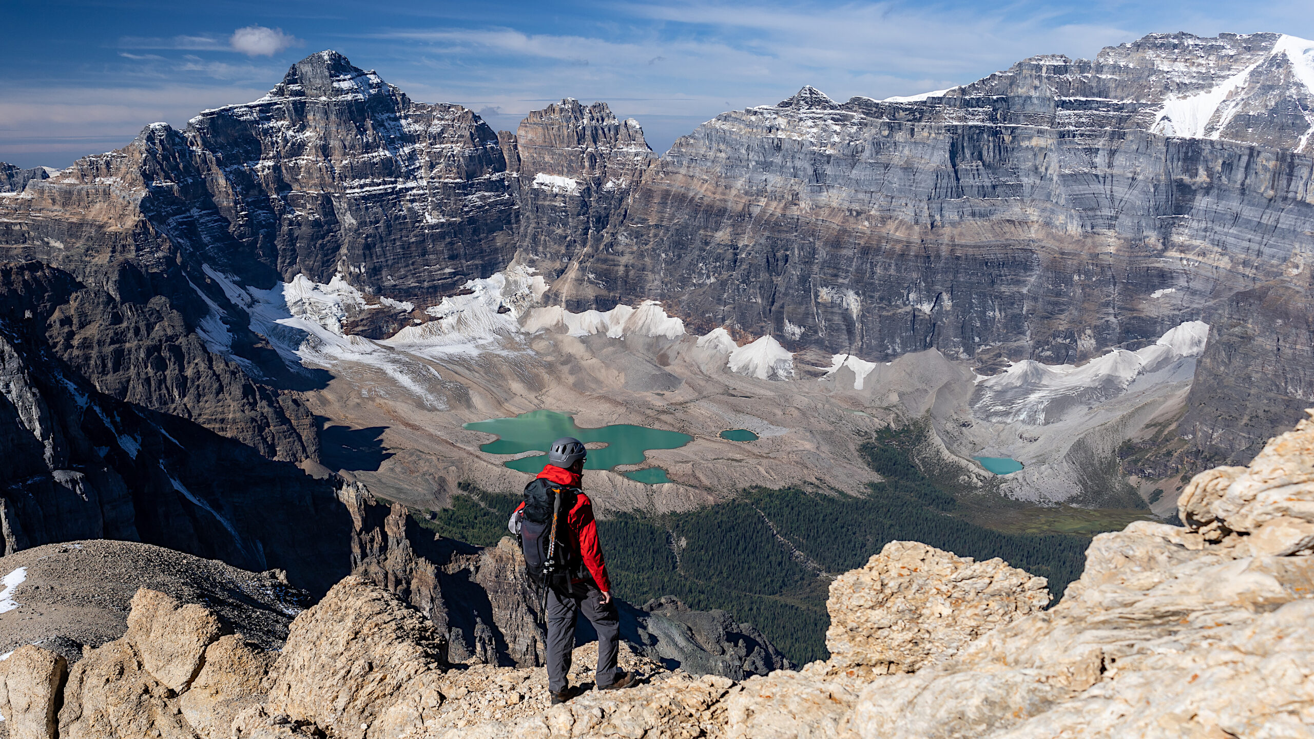
    Mount Temple and alpine terrain above Paradise Valley in Banff National Park
    Banff · route-level decisions

    A Clear Sky Does Not Cancel a Closure, Bear Restriction or Fire Ban.

    Canadian Rockies access problems often exist at a much smaller scale than the weather map: one connector, campground, valley or wildlife zone can change a route while the rest of the park remains usable.

    Fast planning matrix

    What the August 15 Snapshot Meant by Park

    Use this as an archive summary—not a substitute for the current bulletin when you travel.

    Park / zoneMain issueAug. 15 takeawayBest action
    BanffFire ban + wildlife + mixed trail conditionsMany hikes open; several local warnings mattered.Check trail row + bulletins + bear rules.
    Lake LouiseBear warning / berry seasonVillage, RV campground and Bow River trails under warning beginning Aug. 11.Carry bear spray; respect warnings.
    JasperWildfire-recovery closuresEdith Cavell and Maligne Canyon among major closures.Use closure map; choose another open corridor.
    YohoExtreme fire danger / fire banMain roads and many hikes open.Check parking and fire bulletins.
    KootenayNuma Creek washoutStandard Rockwall planning disrupted.Rebuild itinerary around official access.
    SmokeHighly variableEarlier warnings eased by Aug. 13.Check AQHI day-of.
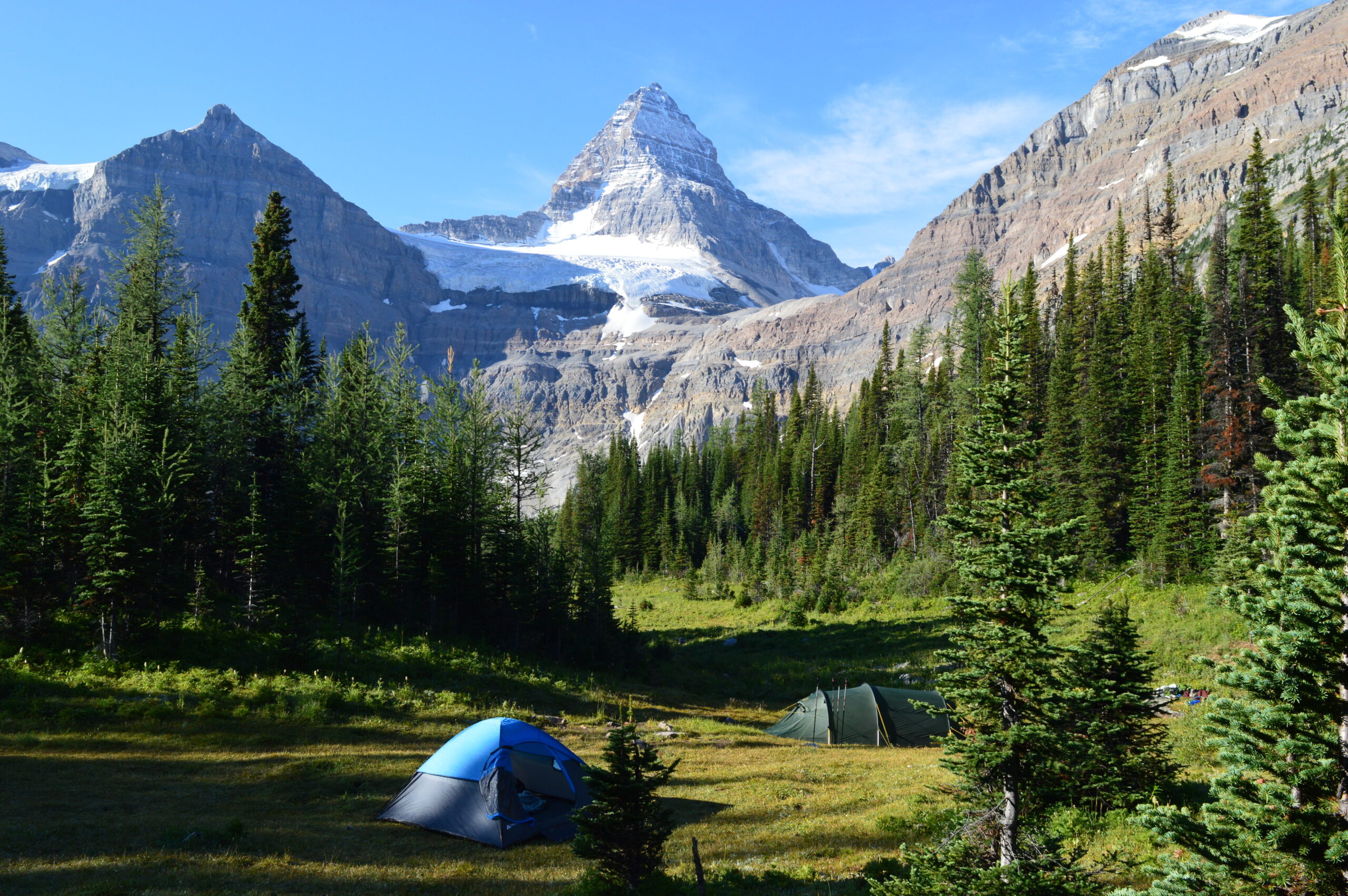
    Mount Assiniboine and alpine hiking landscape in the Canadian Rockies
    Backcountry consequence

    Multi-Day Routes Need More Than a Trailhead Check.

    For Skyline, Rockwall and Assiniboine-style trips, a single closure, fire rule or smoke shift can affect camps, connectors and exit options several days after you leave the trailhead.

    Five-minute decision protocol

    What to Check Before Leaving for a Rockies Hike

    This stays useful without turning the post into the evergreen conditions owner.

    01 · Park bulletin

    Is the Area Legally Open?

    A forecast cannot override a Superintendent’s closure.

    02 · Trail row

    Read the Comments

    Look for deadfall, washed bridges, mud, snow and connector closures.

    03 · AQHI

    Check Smoke Same-Day

    Smoke can change over hours and kilometres.

    04 · Wildlife

    Check Group-Size Rules

    Berry-season rules can change whether solo hiking, dogs or bikes are legal.

    05 · Fire rules

    Backcountry Cooking Changes

    A fire ban affects camp behavior even when the trail remains open.

    06 · Road access

    Verify the Trailhead

    Road closures or transit rules can make an open trail unreachable.
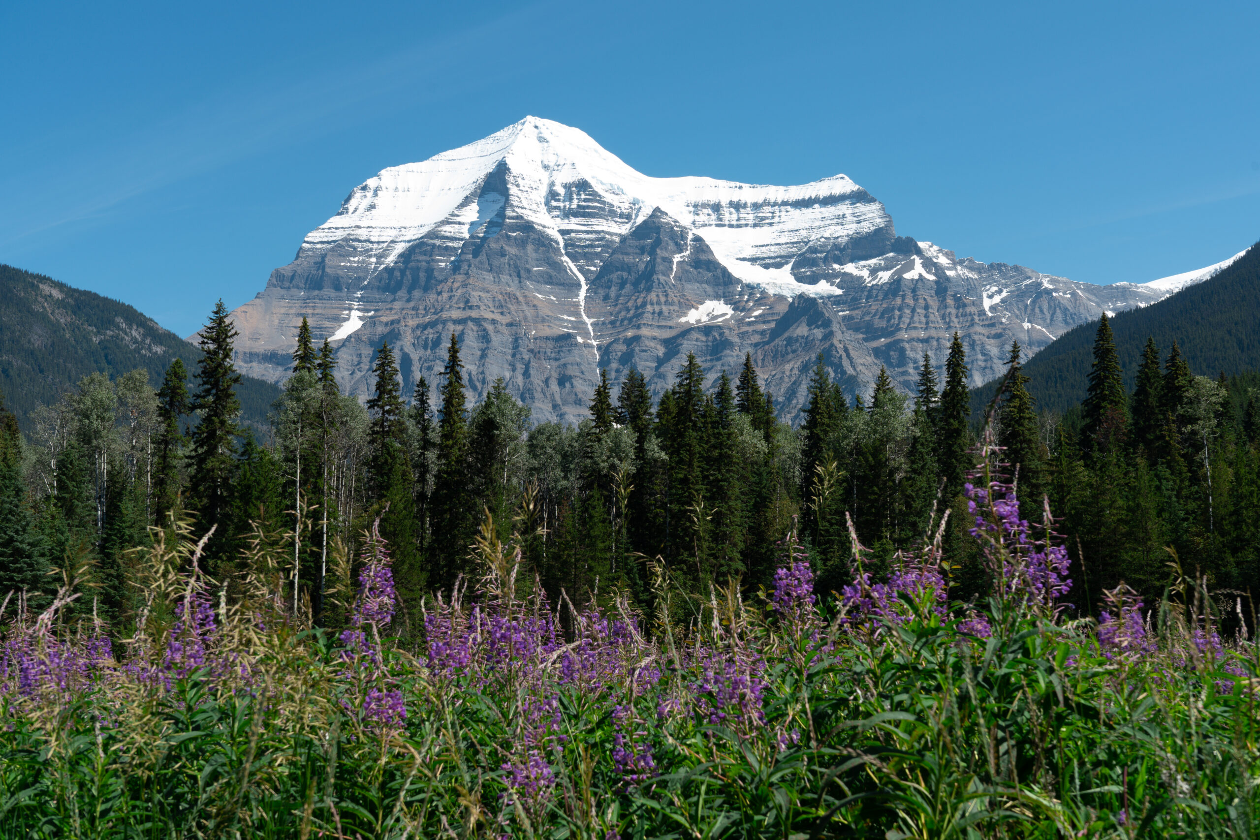
    Mount Robson above evergreen forest in British Columbia
    Northern Canadian Rockies

    Conditions Become More Important as Commitment Increases.

    A short Banff day hike can be replaced in hours. A multi-day Jasper, Rockwall, Assiniboine or Robson plan may require new transport, permits, camps and exit strategy when access changes.

    Dated-source standard

    How This August 15 Watch Was Verified

    Only information active or published by the August 15 coverage date is used for dated claims.

    Primary sources

    • Parks Canada — Jasper closure effective Aug. 14.
    • Parks Canada — Banff trail report updated Aug. 14.
    • Parks Canada — Lake Louise bear warning issued Aug. 11.
    • Parks Canada — Lake Minnewanka seasonal restriction.
    • Parks Canada — Numa Creek closure / Kootenay trail report.
    • Parks Canada — Yoho fire ban and Aug. 15 entries.
    • Environment Canada / Alberta — air-quality alerts and smoke guidance.

    What this post does not do

    • It does not rank the best Rockies hikes.
    • It does not reproduce itineraries or permit systems.
    • It does not predict reopening dates.
    • It does not treat smoke as uniform.
    • It does not roll forward as the permanent conditions page.
    • It does not override official instructions.
    Archive rule: keep this indexed as an August 15, 2026 snapshot. Correct factual errors if necessary, but do not replace it with later conditions.
    Mid-August 2026 questions

    Frequently Asked Questions

    These answers describe the dated August 15 situation.

    Was wildfire smoke closing Canadian Rockies trails on August 15?

    Not broadly. Smoke had caused warnings earlier in August, but no active warning was shown for Banff, Lake Louise or Jasper near Pocahontas on August 13. Same-day AQHI checks still mattered.

    What was closed in Jasper?

    Edith Cavell Road and trails, Maligne Canyon from First Bridge to Fifth Bridge junction, Wabasso Campground and other mapped wildfire-impacted areas remained closed under the August 14 order.

    Was there a Banff fire ban?

    Yes. The park-wide fire ban that began July 30 remained in effect until further notice even though Parks Canada reported no active wildfire inside Banff National Park.

    Could hikers complete the normal Rockwall Trail?

    The standard through-itinerary needed reconsideration because Numa Creek was closed after a bridge washout and debris.

    What bear restrictions mattered?

    Lake Louise Village had a bear warning beginning August 11. Lake Minnewanka’s seasonal restricted area also required groups of four, bear spray, no dogs and no bicycles through September 15.

    Use the dated watch for the date—not the destination

    For August 15, the Best Rockies Plan Was the One You Could Change.

    Jasper closures, Banff wildlife rules, Kootenay trail damage, Yoho fire danger and variable smoke all reinforced the same point: choose your hike from the evergreen guide, then verify exact access immediately before departure.

    Was this helpful?

    Yes
    No
    Thanks for your feedback!
  • The 10 Beginner Mistakes That Ruin a First Summit Day

    Supplemental Blog 02 · Beginner Summit Safety

    The 10 Beginner Mistakes That Ruin a First Summit Day

    Most bad first summit days are not ruined by one dramatic disaster. They are ruined by small, preventable mistakes that stack together: starting late, going too fast, eating too little, ignoring clouds, carrying the wrong layers, and treating the summit like a requirement instead of a bonus. Learn these mistakes before your first climb, and your summit day becomes safer, calmer, and a lot more fun.

    10
    Mistakes beginners
    can prevent
    4–5am
    Typical safe start
    for many summit days
    1pm
    Common exposed-terrain
    exit target
    0
    Summits worth
    an unsafe descent

    A first summit day should be hard, memorable, and confidence-building. It should not become a slow-motion lesson in everything you forgot to plan. The good news is that beginner summit mistakes are predictable. The same patterns show up again and again: late starts, bad pacing, poor fueling, gear shortcuts, weather denial, route confusion, summit fever, and careless descents. If you understand those patterns before you leave the trailhead, you can avoid most of them.

    ★
    The quick answer

    The 10 mistakes that most often ruin a beginner summit day are: starting too late, choosing a peak that is too hard, beginning too fast, eating and drinking too late, trusting the forecast instead of watching the sky, packing for the trailhead instead of the summit, ignoring turnaround times, underestimating the descent, relying on one phone for navigation, and treating the summit as mandatory.


    Why beginner summit mistakes stack so quickly

    Most beginners imagine mountain safety as a list of dramatic emergencies: storms, injuries, getting lost, altitude sickness, or rescue calls. Those things happen, but they often start with smaller errors hours earlier. A late wake-up becomes a late trailhead start. A late start puts you high on the route when clouds build. Because you are moving faster to make up time, you forget to eat. Because you forget to eat, you bonk. Because you bonk, the descent takes longer. Now you are tired, moving slowly, and still above treeline in bad weather.

    That chain does not begin with bad luck. It begins with ordinary beginner decisions. The mountain magnifies them because the environment is less forgiving than a normal trail. Elevation gain makes you tired. Weather changes faster. Terrain becomes more exposed. The descent punishes poor pacing. Small problems compound because every solution costs energy, daylight, and judgment.

    This is why beginner mountain safety is mostly about prevention. You do not need to become an expert to climb your first summit. You do need to control the basics: start early, choose the right objective, pace slowly, eat before you feel hungry, carry layers, watch weather, know when to turn around, and respect the descent.

    Small mistakeWhat it becomes laterPrevention
    Start 90 minutes lateHigh on exposed terrain during afternoon stormsPack the night before and set two alarms
    Move too fast in hour oneEnergy crash near the summit or on descentUse a conversation pace from the start
    Skip breakfast or snacksBonking, irritability, poor decisionsEat before the hike and every 60–90 minutes
    Ignore clouds buildingLightning, wind, poor visibility, panic descentWatch conditions, not just the morning forecast
    Celebrate too earlyCareless descent, slips, knee pain, late returnTreat the summit as halfway, not the finish

    The 10 beginner mistakes that ruin a first summit day

    These mistakes are not listed to scare you. They are listed because they are fixable. Read through them once before choosing your first mountain, again the night before your climb, and a final time at the trailhead before you start.

    01
    Time mistake

    Starting too late

    Late starts are the most common beginner summit-day error because they make every other problem worse. You leave the trailhead relaxed, but the mountain clock is already running. Heat builds. Afternoon clouds develop. Parking fills. Your turnaround time moves closer. If anything goes wrong, you have less daylight to fix it.

    • Fix: Pack the night before, set two alarms, and plan a pre-dawn or early-morning start when conditions require it.
    • Rule: Be off exposed terrain before afternoon weather becomes likely.
    02
    Objective mistake

    Choosing a mountain that is too hard

    A mountain can be popular and still be wrong for your first summit. Beginners often choose the most famous peak nearby instead of the best first peak. The problem is not ambition; it is mismatch. Too much elevation gain, too much altitude, confusing route-finding, or Class 3 terrain can turn a confidence-building day into a survival test.

    • Fix: Start with Class 1 or easy Class 2 terrain, a clear route, and manageable elevation gain.
    • Rule: Your first mountain should stretch you, not expose you.
    03
    Pacing mistake

    Going too fast in the first hour

    The first hour feels deceptively easy when adrenaline is high and everyone is excited. Beginners push too hard early, then pay for it near the top or on the way down. The correct pace often feels almost too slow at first. That is the point. You are trying to climb all day, not win the first mile.

    • Fix: Use the conversation test: if you cannot speak in short sentences, slow down.
    • Rule: The pace that feels easy at mile one is the pace that protects mile six.
    04
    Fuel mistake

    Waiting until you are hungry or thirsty

    Hunger and thirst are late signals during mountain effort. At elevation and in cool air, beginners often do not feel thirsty until they are already behind. The same is true with food. By the time you feel shaky, foggy, or suddenly weak, you may already be bonking.

    • Fix: Eat every 60–90 minutes and drink on a schedule, not only when you feel like it.
    • Rule: Eat before hunger. Drink before thirst.
    05
    Weather mistake

    Trusting the forecast but ignoring the sky

    A forecast is a planning tool, not a guarantee. Mountain weather changes fast, especially above treeline. Beginners often check the forecast in the morning and then stop paying attention. Clouds building vertically, sudden wind shifts, dropping temperature, or distant thunder are not background details. They are decision points.

    • Fix: Check the forecast before leaving, then watch real conditions all day.
    • Rule: The sky outranks your plan.
    06
    Gear mistake

    Packing for the trailhead instead of the summit

    The trailhead can be warm, calm, and sunny while the summit is cold, windy, and exposed. Beginners dress for the parking lot, then discover that the upper mountain feels like a different season. A light rain shell, warm layer, gloves, hat, headlamp, sun protection, and extra food are not luxury items; they are margin.

    • Fix: Pack for the highest, coldest, windiest part of the day, not the easiest part.
    • Rule: If you would be uncomfortable waiting 30 minutes near the summit, you are underpacked.
    07
    Decision mistake

    Not setting a turnaround time

    Turnaround decisions are easy at home and hard near the summit. Without a pre-set rule, beginners negotiate with themselves when they are tired, emotional, and close to the top. That is when summit fever wins. A turnaround time protects you from making your most important safety decision at your weakest moment.

    • Fix: Choose a time before starting and say it out loud to your partner.
    • Rule: If you are not at the summit by the agreed time, descend.
    08
    Descent mistake

    Thinking the hard part ends at the summit

    The summit is emotionally powerful, but it is not the finish line. Beginners relax too much after reaching the top. They stop eating, stop drinking, move too quickly downhill, and pay less attention to foot placement. Tired legs, loose rock, wet roots, and mental relaxation are a bad combination.

    • Fix: Treat the summit as halfway. Refuel, add a layer, check weather, and descend deliberately.
    • Rule: Most beginner injuries happen when the goal feels finished.
    09
    Navigation mistake

    Relying on one phone with no backup

    Phones are excellent tools until the battery dies, the screen cracks, the signal disappears, or cold weather drains power. Beginners often assume a popular trail removes the need for navigation. But wrong turns, snow patches, fading light, and descent confusion can happen even on well-known routes.

    • Fix: Download offline maps, carry a power bank, and know the route before you start.
    • Rule: Your phone can be your main tool, but it should not be your only plan.
    10
    Mindset mistake

    Treating the summit as mandatory

    The summit is the goal, but it is not the obligation. Beginners sometimes feel that turning around means failure, especially after training, driving, waking early, or inviting friends. That pressure is dangerous. The mountain will still be there. Your first summit day should teach judgment, not force proof.

    • Fix: Decide before the climb that turning around can be the correct outcome.
    • Rule: A safe turnaround is a successful mountain decision.

    The mistakes that happen before you ever reach the trailhead

    Many summit days are won or lost the night before. Beginners often focus on the mountain itself, but the pre-climb routine matters just as much. You do not want to be searching for socks at 4:15 a.m., discovering your headlamp batteries are dead, guessing how much water to bring, or making breakfast decisions while half asleep.

    The night before should be boring. That is a compliment. Your pack should be ready. Your clothes should be laid out. Your map should be downloaded. Your weather should be checked. Your route should be shared with someone. Your breakfast should be planned. Your turnaround time should be written down. Boring systems create calm mornings, and calm mornings create safer summit days.

    Night-before checklist for first summit days

    1. Pack completely before bed. Do not leave gear decisions for the morning.
    2. Lay out clothing from socks to shell. Include layers for summit conditions, not just trailhead weather.
    3. Download offline maps. Confirm the route and descent before you lose service.
    4. Check summit-level weather. Wind and temperature at the top matter more than the forecast for the nearest town.
    5. Prepare breakfast and trail snacks. Do not rely on appetite when you wake up nervous.
    6. Fill water bottles or hydration bladder. Add electrolytes if the day will be hot or long.
    7. Set two alarms. Late starts create cascading problems.
    8. Send your plan to someone. Include trailhead, route, expected return time, and check-in time.

    Normal summit-day hard vs. real warning signs

    First-time climbers often struggle because they cannot tell the difference between normal discomfort and genuine danger. Summit days are supposed to be hard. Your breathing will be elevated. Your legs will feel heavy. The first hour may feel awkward. A false summit may be discouraging. None of that automatically means something is wrong.

    The key is learning which problems are normal, manageable, and expected — and which ones require a serious decision. This is where good beginner judgment begins.

    What you feel or seeUsually normalWarning sign
    Breathing hardYou can still speak in short sentences and recover during short stops.You cannot speak, feel dizzy, or symptoms worsen even after slowing down.
    Cold first hourYou warm up after moving and can manage with layers.You are shivering uncontrollably or cannot warm your hands/feet.
    Tired legsFatigue builds gradually and improves after food, water, and short rests.Sudden weakness, shaking, stumbling, or inability to maintain balance.
    Clouds buildingSmall clouds with no vertical growth, no thunder, and stable wind.Dark clouds, thunder, fast vertical buildup, sudden wind, or temperature drop.
    False summit frustrationDisappointment that improves after a snack and route check.Emotional crash combined with low energy, late time, or worsening weather.
    Mild headache at altitudeImproves with rest, hydration, food, and slower pace.Headache worsens, nausea begins, coordination changes, or confusion appears.
    ⊛
    Use the combined-symptom rule

    One mild issue may be manageable. Multiple issues together deserve caution. Tired legs plus late time plus building clouds is different from tired legs on a clear morning. A mild headache plus nausea plus poor coordination is different from a mild headache alone. Beginners should look for patterns, not isolated symptoms.


    The descent deserves its own plan

    Beginners often plan the climb up and assume the way down will take care of itself. That is a mistake. The descent is where fatigue, gravity, loose surfaces, and mental relaxation come together. Your knees absorb more force. Your feet slide forward in your shoes. Your reaction time slows. You are more likely to trip because the emotional goal has already been achieved.

    A safe descent starts at the summit. Before leaving the top, eat something substantial, drink water, add or remove layers, check the weather, and make sure everyone in the group is mentally back in travel mode. Do not start down while distracted, cold, hungry, or trying to rush photos.

    At the summit

    Reset before descending

    Eat, drink, check weather, put on a layer if needed, and confirm the descent route before leaving the top.

    First 30 minutes down

    Move deliberately

    This is when excitement fades and downhill fatigue appears. Use poles, shorten your stride, and watch loose surfaces.

    Final miles

    Do not stop fueling

    Keep eating and drinking until the trailhead. The climb is not over just because the summit is behind you.


    Group mistakes that ruin beginner summit days

    Many first summit days happen with friends or family. That can be wonderful, but groups create their own risks. Different fitness levels, different risk tolerance, and different expectations can turn a simple summit into a tense day. The most common group mistake is pretending everyone has the same goal and ability.

    Before starting, agree on the route, pace, turnaround time, weather rules, and what you will do if one person wants to stop. The weakest, coldest, most tired, or most anxious person matters. A summit day is not successful if one person is pushed into a situation they are not comfortable with.

    Group problemWhat it looks likeBetter plan
    Pace mismatchFast hikers drift ahead while beginners burn energy trying to keep up.Set a pace everyone can sustain and regroup at planned stops.
    Summit pressureOne person wants to turn around but feels guilty stopping the group.Agree in advance that any person can call a turnaround without shame.
    Gear gapsOne person lacks layers, food, water, or a headlamp.Do a quick gear check at the trailhead before starting.
    Decision conflictWeather worsens and the group debates instead of acting.Define weather triggers and turnaround time before leaving the parking lot.
    Splitting casuallyFaster people summit while slower people descend alone.Only split if everyone has navigation, gear, communication, and confidence.

    A simple prevention plan for your first summit day

    The best way to avoid beginner mistakes is to turn the whole day into a simple system. You do not need a complicated expedition plan. You need a repeatable summit-day rhythm.

    Beginner summit-day prevention system

    1. Choose the right mountain. Class 1 or easy Class 2, clear route, manageable gain, appropriate season.
    2. Pack the night before. Include headlamp, layers, rain shell, food, water, map, power bank, and first aid.
    3. Start early. Give yourself more daylight and safer weather margins than you think you need.
    4. Move slowly at first. Use conversation pace and let your body warm up gradually.
    5. Eat and drink on schedule. Do not wait for hunger or thirst.
    6. Watch the sky. Forecasts guide the plan; real conditions guide the decision.
    7. Use a turnaround time. Decide before fatigue and summit pressure affect judgment.
    8. Reset at the summit. Eat, drink, layer, check weather, and mentally prepare for the descent.
    9. Descend with focus. Slow down, use poles if helpful, and keep fueling.
    10. Debrief afterward. Write down what worked, what failed, and what to change before peak two.

    Frequently Asked Questions

    What is the biggest mistake beginners make on summit day?

    The biggest beginner summit-day mistake is starting too late. A late start makes weather, heat, fatigue, parking, group pace, turnaround decisions, and descent timing harder. Many other mistakes become serious because the day began without enough time margin.

    How early should beginners start a first summit day?

    It depends on the mountain, season, weather pattern, and route length, but many beginner summit days should start early in the morning. Peaks with afternoon thunderstorms, high exposure, hot weather, or long descents often require pre-dawn or sunrise starts. The goal is to be off exposed terrain before conditions deteriorate.

    Why do beginner climbers bonk?

    Beginners usually bonk because they start too fast, skip breakfast, eat too late, drink too little, or underestimate how much energy steady uphill travel requires. Eating every 60–90 minutes and pacing slowly from the beginning prevents most energy crashes.

    What should I do if I feel bad near the summit?

    Stop, eat, drink, add a layer if cold, and reassess. If symptoms improve quickly and weather/time are still safe, you may continue carefully. If symptoms worsen, coordination changes, nausea appears, weather is building, or your turnaround time has passed, descend. The summit is never worth gambling with safety.

    Is turning around on a first summit attempt failure?

    No. Turning around can be the best decision of the day. A first summit attempt should teach mountain judgment, and judgment includes knowing when to descend. A safe turnaround is a successful mountain decision, especially for beginners.

    What should beginners read before their first summit day?

    Beginners should read the Beginner Mountain Climbing Guide, the Summit Day walkthrough, the Mountain Safety Basics guide, and the Trail Ratings guide before choosing and attempting their first mountain. Those pages help match the objective to the climber and reduce preventable mistakes.


    ★
    The bottom line

    A good first summit day is not mistake-free because everything went perfectly. It is mistake-resistant because you built margin into the plan. Start early. Choose the right mountain. Move slowly. Eat before you are hungry. Drink before you are thirsty. Watch the sky. Turn around when the rules say to. Descend with focus. The goal is not just to reach your first summit — it is to come home already excited for the next one.

    Avoid the common traps

    Before you choose your first summit, start with the Beginner Guide.

    The safest first mountain is the one that matches your current fitness, gear, weather window, and judgment. Use the Beginner Mountain Climbing Guide to plan the right objective before summit day arrives.

    Open the Beginner Guide →

    Editorial notes

    This supplemental article supports the existing Global Summit Guide beginner system. It is intentionally written as a mistake-prevention article rather than a replacement for the dedicated Summit Day walkthrough or Mountain Safety Basics page.

    Published May 9, 2026 · Category Beginner Guides · Supplemental Blog 02 in the beginner support cluster

    Was this helpful?

    Yes
    No
    Thanks for your feedback!
Language »