
Last updated October 3, 2026


Pacific Crest Trail vs Continental Divide Trail: Which Thru-Hike Fits You?
The PCT and CDT are both Mexico-to-Canada-scale journeys, but they reward different hikers. The Pacific Crest Trail is the more standardized western thru-hike: defined tread, a centralized long-distance permit and a huge seasonal challenge built around desert heat, Sierra snow, wildfire and the Cascades. The Continental Divide Trail is longer, higher, more remote and more route-flexible—asking hikers to make more independent decisions for five to seven months.
The PCT Is More Standardized. The CDT Demands More Independence.
The Pacific Crest Trail covers 2,655.84 miles through California, Oregon and Washington. Its challenge is fitting Southern California water, Sierra snow, wildfire season and Washington’s early winter into roughly one five-month window.
The Continental Divide Trail stretches approximately 3,100 miles through New Mexico, Colorado, Wyoming, Idaho and Montana. It climbs higher, spends more time in remote Rocky Mountain terrain and incorporates a culture of route alternates that can materially change the hike.
The PCT usually provides the cleaner transition into a western season-long thru-hike. The CDT makes more sense when navigation, remote logistics, route choice and self-directed problem solving are already strengths rather than new skills.
PCT vs CDT at a Glance
Both are western U.S. season-long thru-hikes. The CDT increases mileage, altitude, remoteness and route-choice responsibility.
| Factor | Pacific Crest Trail | Continental Divide Trail |
|---|---|---|
| Current planning distance | 2,655.84 mi | ≈3,100 mi |
| States | California · Oregon · Washington | New Mexico · Colorado · Wyoming · Idaho · Montana |
| Typical duration | ≈5 months | 5–7 months |
| High point | Forester Pass · 13,153 ft | Grays Peak · 14,278 ft |
| Mountain systems | Sierra Nevada + Cascades | Rocky Mountains |
| Route definition | More continuous and standardized | Official route plus major alternate culture |
| Trail completion | Established continuous National Scenic Trail | Still being completed; remaining incomplete corridor exists |
| Permit structure | Interagency PCT Long-distance Permit available | No single long-distance permit |
| Navigation demand | Important during snow, fire detours and poor visibility | Core everyday skill |
| Water challenge | Southern California is the defining dry section | New Mexico + Great Divide Basin create repeated water problems |
| Snow challenge | Sierra Nevada controls much of NOBO timing | Colorado and the San Juans can dominate route strategy |
| Route-choice culture | Mostly official trail with closures and occasional alternates | Alternates are central to many thru-hikes |
| Community density | Larger seasonal thru-hiking population | Smaller and more dispersed |
| Best progression role | Strong first western Triple Crown thru-hike | Strong later-stage independent thru-hike |

The PCT’s Tread May Be Defined—but Conditions Can Redefine the Trail.
Forester Pass is ordinary backpacking terrain in dry summer conditions. Under deep spring snow, the same route can demand snow travel, traction, route judgment and careful creek timing.
The PCT Is a Seasonal Puzzle. The CDT Is a Decision-Making Puzzle.
That simplification is not absolute, but it captures the biggest difference in how the two journeys feel day after day.
Fit One Continent-Sized Hike Into One Season
- Southern California heat and water.
- San Jacinto and early mountain snow.
- Sierra snow and creek crossings.
- Long high-country food carries.
- Northern California heat and smoke.
- Oregon wildfire season.
- Washington before serious autumn snow.
Build Your Version of the Divide
- New Mexico water and road-walk decisions.
- Gila River route choices.
- Colorado snow and lightning.
- Great Divide Basin water planning.
- Wind River alternate decisions.
- Yellowstone and Glacier permit logistics.
- Montana weather, bears and remote access.

The CDT Gives Hikers More Space—and More Responsibility.
Fewer hikers, longer remote stretches and more route alternatives mean decisions are less likely to be made simply by following the people immediately ahead of you.
PCT Miles Are Often More Predictable. CDT Miles Can Be More Variable.
A mile is not a useful unit of difficulty unless the terrain underneath it is also understood.
Long Graded Trail
Long sections support efficient mileage when snow, blowdowns, fire damage and heat are not interfering.
Trail + Roads + Open Country
Tread quality varies more as the route moves through completed trail, roads, ridges and unfinished corridor.
Sierra Snow
A high-snow year can turn a famous trail into prolonged snow travel.
Colorado Altitude
Long periods above treeline add snow, wind, lightning and altitude to ordinary mileage.
Desert-to-Cascade Sequence
Environmental changes are large, but the main trail identity remains consistent.
Alternates Change the Trip
Gila River, Cirque of the Towers and other choices can change scenery, mileage and difficulty.

On the CDT, the “Best Route” Is Not Always the Official Route.
Established alternates through places such as the Wind River Range are part of modern CDT culture. The important skill is not collecting alternates—it is understanding why a route fits current weather, skill, access and risk.
Both Trails Have Moving Snow Gates.
Start dates are not simply calendar preferences. They position the hiker relative to snowmelt, desert heat and autumn storms.
| Season Factor | Pacific Crest Trail | Continental Divide Trail |
|---|---|---|
| Common NOBO timing | Mid-April through early May is common planning territory | April starts are common |
| First big gate | Sierra Nevada snow | Colorado / San Juan snow |
| Common SOBO timing | Late June / early July | Late June as northern Rockies improve |
| Late-season problem | Washington winter weather | Colorado / New Mexico autumn weather depending on direction |
| Flip-flop role | Useful but permit structure matters | Important tool when snow or fire breaks the corridor |
| Universal perfect start date? | No. Snowpack, pace, skills, wildfire and current access should control the final choice. | |

Reaching Washington Is Not the Same as Finishing the PCT.
Goat Rocks, Glacier Peak country and the North Cascades arrive after months of hiking, just as colder storms and shortening days begin closing the seasonal window.
The PCT Has a Long-Distance Permit. The CDT Does Not.
That difference changes what “getting a permit” means before either thru-hike.
PCT Long-distance Permit
PCTA administers an interagency Long-distance Permit for qualifying continuous trips of 500 miles or more.
- Permit is free.
- One long-distance permit per person per year.
- Quota systems apply to certain popular start areas.
- NOBO starts south of Sonora Pass are heavily quota controlled.
- The printed permit must be carried on the trail.
- Other rules and special local requirements still apply.
Jurisdiction-by-Jurisdiction Permits
CDTC states that no single long-distance permit covers the Continental Divide Trail.
- Glacier National Park wilderness camping permit.
- Yellowstone backcountry camping permit.
- Blackfeet Nation recreation access where applicable.
- Self-service wilderness permits in some areas.
- Local requirements vary with the exact route and alternates.
- CDTC registration does not replace legal permits.
For quota-controlled northbound starts south of Sonora Pass, the first 2027 release is November 4, 2026, when 35 permits per day become available. The second release is January 13, 2027, when the remaining 15 permits per day are released.

The CDT Starts by Testing Water Strategy Before Alpine Skills.
New Mexico combines desert exposure, remote roads, uncertain water sources and major route choices such as the Gila River Alternate. The Rocky Mountain climbing arrives later.
Both Require Flexibility—But the CDT Adds More Remote Decision Points.
Long-distance food planning works better as a flexible system than as five months of pre-packed boxes.
| Logistics Factor | Pacific Crest Trail | Continental Divide Trail |
|---|---|---|
| Major water problem | Southern California | New Mexico + Great Divide Basin |
| Resupply style | Towns, resorts, trailheads, hitches and selective boxes | Towns, longer hitches, route-dependent resupplies and selective boxes |
| Mail everything before starting? | No | No |
| Why flexibility matters | Snow, fire, pace and appetite change | Snow, fire, alternates, pace and town choice change |
| Water cache dependence | Never make an emergency water plan depend on an unofficial cache being stocked. | |
The CDT Rewards More Margin. The PCT Rewards More Seasonal Modularity.
Neither trail should be packed from one generic “ultralight list” without accounting for the route, start date and expected conditions.
Change the Kit as the Trail Changes
- Lightweight shelter and sleep system.
- Large Southern California water capacity.
- Trail-running footwear with replacement plan.
- Bear canister where regulations require it.
- Snow equipment based on actual Sierra conditions.
- Sun protection for desert and Sierra exposure.
- Warmer layers again approaching Washington.
Prioritize Independence and Weather Range
- Reliable lightweight shelter for exposed weather.
- Flexible water capacity for New Mexico and Wyoming.
- Strong offline navigation redundancy.
- Footwear suited to mixed trail and road mileage.
- Snow gear when current Colorado conditions justify it.
- Food-storage system matched to current bear rules.
- Cold and storm protection for long high-altitude sections.
Current Thru-Hiking Gear
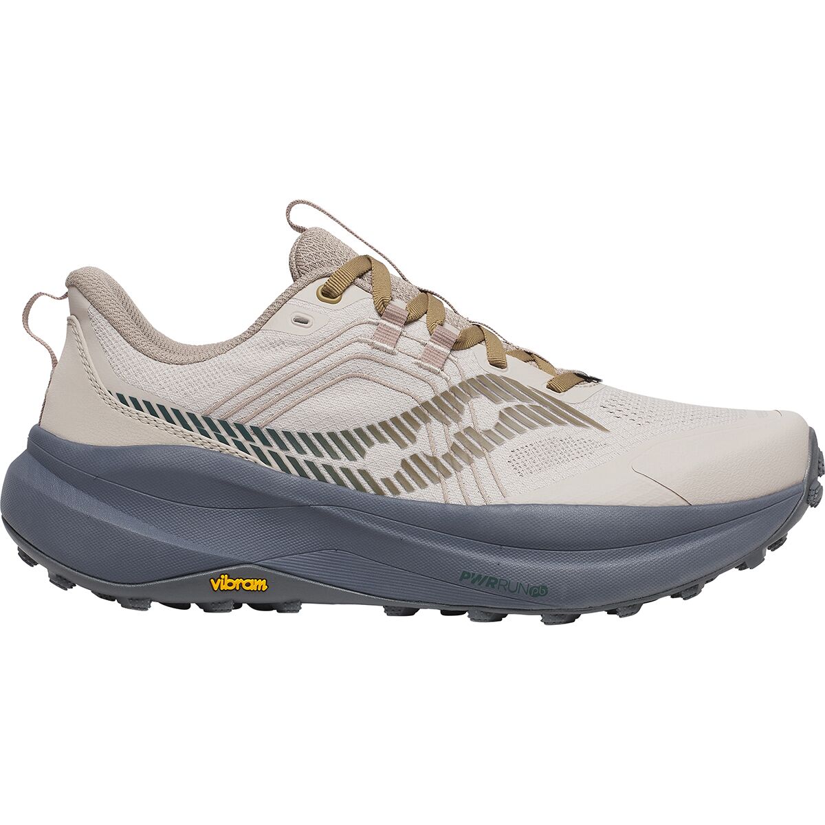
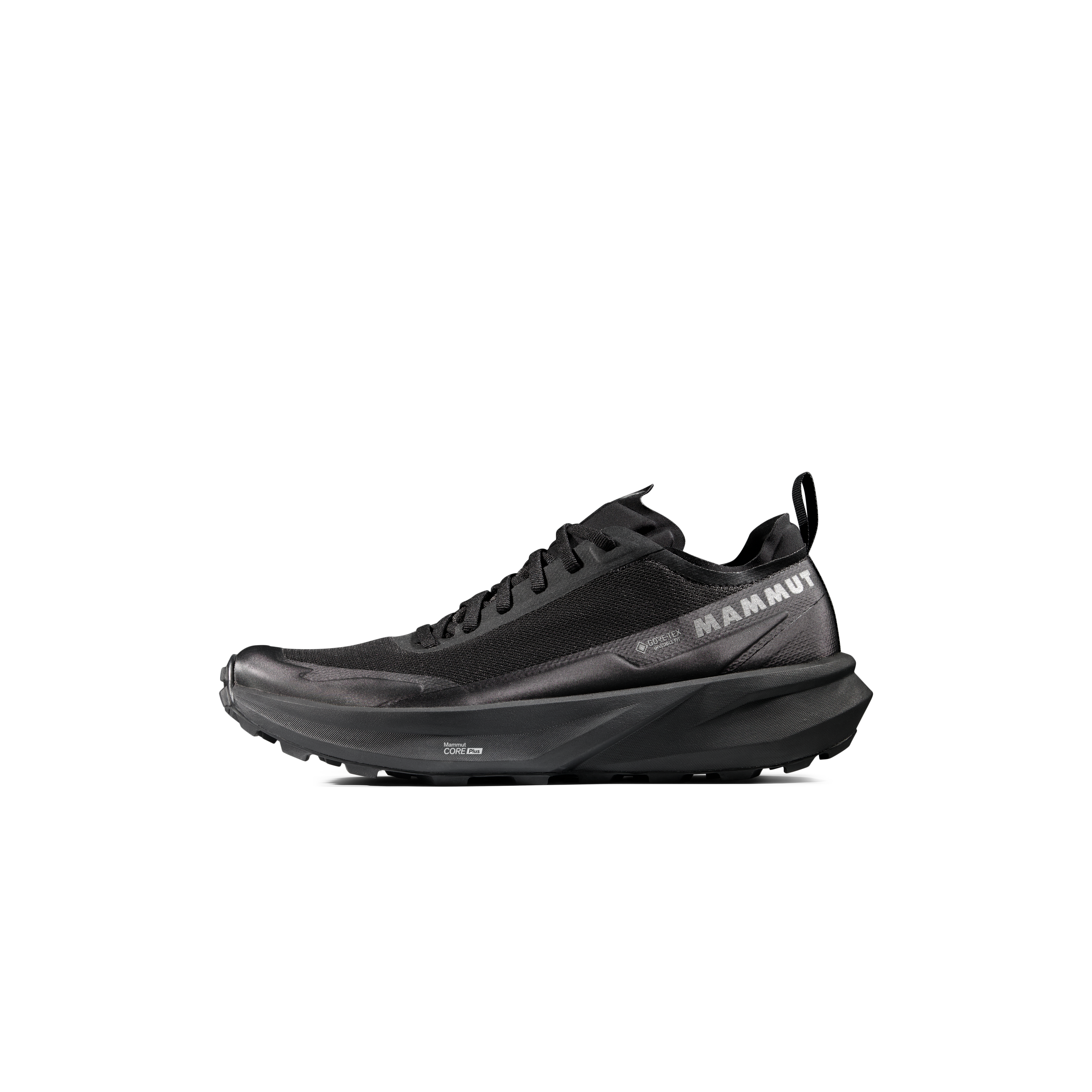
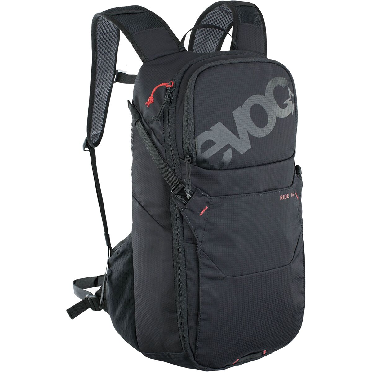
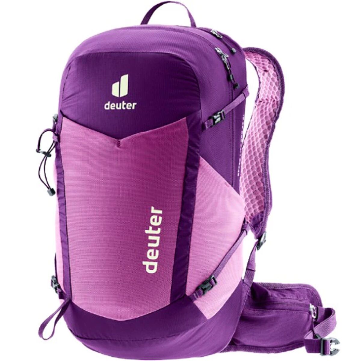
Compare current trail runners, backpacks, shelters, sleeping bags, trekking poles and headlamps after deciding how your PCT or CDT system will change through the season.
Current Thru-Hiking Gear


Both Border Terminuses Now Require More Planning Than Old Guidebooks Suggest.
Border access rules changed recently on both trails. Do not plan the last or first miles from an old trip report.
Reach Canada. Do Not Cross There.
Canada discontinued the PCT Entry Permit program in 2025. Crossing the international boundary on the trail is prohibited.
Northbound hikers can reach the official monument from the U.S. side and then turn around, commonly returning south toward Hart’s Pass or another legal U.S. exit.
Crazy Cook Is Inside a National Defense Area.
The southernmost 1.1 miles of the CDT and the Crazy Cook monument are currently within the New Mexico National Defense Area.
Entering that section requires permission from the U.S. Army at Fort Huachuca. CDTC can also serve hikers outside the restricted area around CDT mile 2.2.
Recheck PCTA and CDTC immediately before travel. Border procedures, road access, permits, fire closures and military-access rules can change faster than the rest of this article.
One Trail Follows the Pacific Crest. The Other Follows the Continental Divide.
Their north-south orientation is similar. Their mountain systems are completely different.
California → Oregon → Washington through Sierra and Cascade country.
New Mexico → Colorado → Wyoming → Idaho → Montana.
Sierra Nevada, California.
Colorado Rockies.
Choose the Problems You Want to Solve for Five Months.
A thru-hike is too long for the decision to be based only on a highlight photograph.
You Want the More Defined Western Thru-Hike System.
- You want the Sierra Nevada and Cascade Range.
- You prefer a more standardized official route.
- You value a centralized long-distance permit.
- You want a larger seasonal thru-hiking community.
- You are comfortable solving desert water and Sierra snow.
- You can maintain the pace required by a tight seasonal window.
- You want a logical first western Triple Crown trail.
You Want More Route Freedom and Greater Independence.
- You already have substantial long-distance experience.
- You enjoy active navigation.
- You are comfortable making alternate-route decisions.
- You tolerate longer remote stretches well.
- You want sustained Rocky Mountain altitude.
- You are comfortable with complex permit and access logistics.
- You value independence more than a tightly standardized route.
The CDT Is Usually Easier to Understand After You Have Already Lived Through a Long Trail.
A previous thru-hike teaches more than mileage: foot care, appetite, recovery, town logistics, gear failure, injury management and the mental rhythm of months on trail. Those systems leave more attention available for the CDT’s route decisions, remoteness and high-country weather.

The Trail You Choose Becomes Daily Life.
By Oregon or Wyoming, scenery alone is not carrying the hike. Feet, food, sleep, weather decisions, town discipline and the ability to keep solving ordinary problems determine whether a season-long project still works.
Recheck These Before the Trailhead.
Mileage, permit quotas, fire closures, trail alignments and border access can change.
Pacific Crest Trail Association
Current mileage, closures, trail conditions, transportation and long-distance permit guidance.
Open PCTA →Continental Divide Trail Coalition
Current maps, closures, southern terminus access, permits and thru-hiking planning.
Open CDTC →Triple Crown & Great U.S. Thru-Hikes
Connect the PCT and CDT with the Appalachian Trail, John Muir Trail, Colorado Trail and other U.S. long trails.
Triple Crown Hub →Frequently Asked Questions
Is the CDT harder than the PCT?
Which is longer, PCT or CDT?
How long does each trail take?
Which trail goes higher?
Does the CDT have one official route?
Is the CDT finished?
Do I need one permit for the entire PCT?
Does the CDT have a thru-hiking permit?
Can PCT hikers cross into Canada at the northern terminus?
Can CDT hikers still reach Crazy Cook?
Which trail has more water problems?
Which trail should I hike first?
When are the 2027 PCT permit release dates?

The PCT Gives You a Trail to Follow. The CDT Gives You a Trail to Interpret.
Choose the Pacific Crest Trail when you want the Sierra, Cascades and desert inside a more standardized season-long system. Study the Continental Divide Trail when longer mileage, higher terrain, route alternatives and greater independence are part of the attraction rather than complications to eliminate. Either route requires months of durability. The real distinction is how much of the journey you want the trail system to decide for you.
Was this helpful?
Global Summit Guide is an independent mountaineering resource founded in 2026. The team combines first-hand trekking and climbing experience with in-depth research and professional health and nutrition review to help climbers choose objectives, prepare properly, and stay safe.
Health, altitude, and nutrition content is reviewed by Taylor Ludlow (Registered Nurse) and Brigg Hoopes (Nutritionist).
What We Don't Know Yet
Mountain information changes quickly. This box explains the limits of what this page can responsibly promise.
- Comparisons simplify complex decisions; the better mountain depends on current conditions, skills, timing, budget, and risk tolerance.
- Route conditions, snowpack, closures, and weather can change quickly after this page is updated.
- Permit rules, fees, quotas, and reservation windows may change between review cycles.
- Operator availability, pricing, guide ratios, and cancellation terms can change by season.
- Your fitness, altitude response, risk tolerance, and experience level may change what is safe or realistic.
Verify current conditions with official land managers, guide services, local forecasts, and current route reports before booking or climbing.
Mountaineering, rock and ice climbing, glacier travel, and high-altitude activity are inherently dangerous and can result in serious injury or death. The information on Global Summit Guide is provided for general informational and educational purposes only and is not a substitute for professional instruction, qualified guiding, proper equipment, or your own judgment and experience.
Route conditions, weather, snowpack, permits, regulations, and hazards change constantly and may differ from what is described here. Details may be incomplete, out of date, or contain errors. Always verify current information with local authorities, certified guides, and official sources before making any decision in the mountains.
Nothing on this site is medical, legal, or financial advice. Our fitness, acclimatization, altitude, and nutrition content is general in nature; consult a qualified physician before beginning any strenuous exercise program or exposing yourself to high altitude.
You are solely responsible for your own safety and decisions. To the fullest extent permitted by law, Global Summit Guide and its team accept no liability for any loss, injury, damage, or expense arising from use of, or reliance on, this information. By using this site you acknowledge these risks and accept these terms.
Some links on this site may be affiliate links. If you buy through them we may earn a small commission at no extra cost to you; this never affects our recommendations.
Global Summit Guide recommendation path
Next Best Mountain to Research
Use these recommendations to continue the right planning path instead of stopping on one page.
Use current permit, weather, route, and operator information before booking or climbing.