
Last updated October 5, 2026

Mount Fuji Difficulty & Safety: How Hard Is the Climb?
Mount Fuji is a non-technical summer mountain—but not an easy walk. No rope climbing is normally required on the official summer trails, yet every route ends at 3,776 meters, the summit can be near freezing before sunrise, weather changes quickly, volcanic gravel makes descending tiring, and altitude sickness can end the climb regardless of fitness.
Fuji Is Technically Easy in Summer. Physically and Environmentally, It Is Moderate to Strenuous.
During the official climbing season, Mount Fuji is fundamentally a high-altitude hiking objective. The trails are established, mountain huts operate, there are no routine rope systems, and thousands of ordinary hikers reach the summit.
But the summit is still at 3,776 m / 12,388 ft. Depending on the route, you gain roughly 1,300–2,300 vertical meters, spend many hours climbing and descending, and finish on exposed volcanic terrain where cold, wind, fatigue, altitude symptoms, rockfall and poor weather can all change the outcome.
That is why Japan’s official climbing website now says directly: Mount Fuji is not an easy mountain.
The 2026 official summit season ended on September 10, 2026. As of October 5, 2026, 2027 climbing rules and opening dates have not yet been announced. The safety and regulation information below uses the final confirmed 2026 system as the planning baseline. Always verify the next season on the Official Website for Mt. Fuji Climbing before booking.
What Kind of Difficult Is Mount Fuji?
Technical difficulty is only one part of mountain difficulty. Fuji’s biggest problems occur elsewhere.
| Factor | Summer-season rating | What it actually means |
|---|---|---|
| Technical climbing | Low | The standard summer routes are hiking trails rather than roped climbing routes. Expect volcanic gravel, rocks and occasional hands-on balance—not technical alpinism. |
| Elevation gain | Moderate to very high | Roughly 1,300 m from Fujinomiya; around 2,300 m from Gotemba. |
| Altitude | Meaningful | Every route reaches 3,776 m. Headache, dizziness, nausea, weakness and loss of appetite are official warning symptoms. |
| Weather | Moderate–High | Strong wind, heavy rain, dense fog, cold and summer thunderstorms can develop rapidly. |
| Terrain | Moderate | Loose volcanic gravel and rocky sections become tiring and slippery, particularly on descent. |
| Navigation | Low–Moderate | Trails are marked, but fog, darkness and descent junctions can still send tired hikers toward the wrong 5th Station. |
| Off-season | Extreme change | Once the maintained summer season ends, Fuji becomes a snow, ice, wind and winter-mountaineering problem. |

Thousands of Successful Climbers Do Not Make 3,776 Meters Sea Level.
Fuji’s infrastructure can make the mountain feel forgiving, but the body still experiences the same reduced oxygen, cold and fatigue as it would on any other peak at this elevation.
There Is No Single Mount Fuji Difficulty Rating
Starting elevation, length, hut density and trail surface change the experience considerably.
| Trail | Start elevation | Official ascent distance | Official ascent time | Descent time | GSG difficulty role |
|---|---|---|---|---|---|
| Yoshida | 2,305 m | 6.8 km | ~6 hr | ~4 hr | Best overall first-time system; most infrastructure, but also the greatest crowd pressure. |
| Fujinomiya | 2,400 m | 4.3 km | ~5 hr | ~3 hr | Shortest, highest start and steepest-feeling direct climb. |
| Subashiri | 2,000 m | 6.9 km | ~7 hr | ~4 hr | Longer, quieter lower forest, then merges into Yoshida crowds high up. |
| Gotemba | 1,440 m | 10.5 km | ~9 hr | ~4 hr | Longest, greatest elevation gain and hardest physically for most hikers. |
Yoshida Trail
Yoshida begins at 2,305 m and provides the densest network of mountain huts. That makes water, rest, emergency support and overnight planning easier.
Its weakness is popularity: summit queues can slow the upper climb, especially around sunrise. Stopping repeatedly in cold pre-dawn wind can chill a poorly dressed climber.
Fujinomiya Trail
At about 2,400 m, Fujinomiya starts highest and reaches the summit in only 4.3 km. The short distance is attractive, but it concentrates roughly 1,370 m of gain into a steeper trail.
The same route is used for ascent and descent, so hikers meet opposing traffic. The high starting elevation also means the body has less time to adapt gradually.
Subashiri Trail
Subashiri begins at about 2,000 m. The lower route climbs through forest before entering exposed volcanic terrain.
It joins Yoshida near the Original 8th Station, where traffic increases sharply. On descent, the Yoshida / Subashiri split requires attention: taking the wrong branch can send you to the wrong trailhead.
Gotemba Trail
Gotemba starts at only about 1,440 m and climbs more than 10 km to the summit. The official model gives roughly nine hours for ascent.
There are fewer huts, a huge elevation gain and long exposed volcanic slopes. It is the strongest choice for solitude and endurance, not the easiest first Fuji.

A 2,000-Meter Trailhead Feels Very Different From a 2,400-Meter Trailhead.
Starting lower gives more time to climb through altitude gradually, but it also creates more distance, more elevation gain and a longer day.
Altitude Can Stop a Fit Climber Before Tired Legs Do
Fuji’s trailheads allow people to move from low elevation to well above 3,000 m very quickly.
Spend 1–2 hours near the 5th Station
Japan’s official Fuji safety guidance recommends resting near the 5th Station before beginning the climb so the body has time to begin adapting.
Slow is a safety strategy
The official guidance recommends a slow, steady pace, frequent hydration and short regular breaks rather than racing upward.
Worsening symptoms mean descend
If headache, dizziness, nausea, weakness or other altitude symptoms worsen, continuing higher is the wrong direction. Descent is the decisive response.
| What you notice | What it may mean | What to do |
|---|---|---|
| Mild headache or unusual fatigue | Possible early altitude response, dehydration or overexertion | Stop gaining altitude, rest, hydrate and reassess. |
| Dizziness, nausea or loss of appetite | Increasing altitude intolerance | Do not keep pushing upward simply because the summit is close. |
| Repeated vomiting or marked weakness | Significant deterioration | Descend and seek assistance if needed. |
| Confusion, severe breathing difficulty or loss of coordination | Potential medical emergency | Descend immediately and seek emergency medical / rescue assistance. |
The dedicated Mount Fuji Acclimatization Guide owns the full pacing, overnight and altitude-planning strategy.

Fujinomiya Compresses the Climb Into a Steeper, More Direct Line.
The trail starts higher than any other official Fuji route, reducing distance but giving the body less gradual altitude transition.
A Summer Hike Can Become a Cold Mountain Very Quickly
Fuji stands alone above the surrounding landscape, exposing the upper mountain directly to wind and weather.
The official climbing site uses an approximate 0.6°C temperature drop for every 100 m of elevation gain. Near sunrise, summit temperatures can approach 0°C even in summer.
Wind can make the summit feel dramatically colder and can make exposed walking unstable. The crater rim is especially vulnerable.
Wet clothing changes Fuji from uncomfortable to dangerous. That is why proper separate rain jacket and rain pants are part of the official equipment expectations.
Summer thunderstorms are a recognized Fuji hazard. The upper cone offers little protection, and the official guidance advises taking shelter and descending when conditions become dangerous.
Fog reduces visibility, makes junctions harder to read and increases the chance of descending toward the wrong trailhead.
See the Mount Fuji Weather & Best Season Guide for the complete seasonal breakdown.

Gotemba Adds Roughly 2,300 Vertical Meters Between Trailhead and Summit.
What it lacks in technical climbing, it replaces with distance, exposure and endurance.
The Descent Deserves as Much Planning as the Ascent
Fuji’s loose volcanic surfaces become harder to manage when legs are tired and attention has dropped.
Legs fail differently downhill
The quadriceps and knees repeatedly absorb impact. A climber who felt strong going up can become unstable several hours into descent.
Shorten the stride
Volcanic gravel can slide underfoot. Controlled short steps are safer than racing downhill to catch transport.
Know your trail color
Fuji’s routes are color-coded. This matters particularly where Yoshida and Subashiri share upper terrain but split during descent.
Rockfall Is a Real Fuji Hazard—not a Theoretical One
Fuji’s loose volcanic structure means climbers can endanger people far below them.
Do not shortcut switchbacks
Leaving established trails damages the mountain and can dislodge loose volcanic material toward hikers below.
Watch traffic above you
Narrow, steep and crowded sections can create accidental rockfall. Do not stop unnecessarily in exposed runout areas.
Loose rock + wind
The official summit guidance specifically warns that rock around the crater rim can crumble easily.

Crowds Add Their Own Safety Problem Near Sunrise.
Slow queues can lengthen summit exposure, increase chilling and pressure climbers to pass unsafely on narrow upper terrain.
Do Not Turn the Sunrise Into a Sleep-Deprivation Challenge
Fuji’s famous sunrise is one reason poorly planned climbers used to start late at night and climb straight through.
Bullet climbing
Traveling rapidly from low elevation, beginning late, climbing all night without a hut stay and arriving at the summit exhausted combines altitude, sleep deprivation, darkness and cold.
Hut + early summit
A two-stage climb allows slower acclimatization, rest and a shorter pre-dawn summit push. It also fits the intent of the current Fuji access system.

The Best Sunrise Is the One You Still Have Enough Energy to Descend From.
Sunrise is an experience. The summit is optional. Getting everyone safely back to the 5th Station is not.
When Should You Turn Around on Mount Fuji?
A turnaround rule works best when it is decided before the summit becomes emotionally important.
Altitude symptoms are getting worse
Stop ascending. If symptoms do not improve or become significant, move to lower elevation.
Wind is making normal walking difficult
Exposed summit terrain and crater-rim walking become poor choices once balance is being affected.
Thunder or lightning enters the plan
Fuji’s upper cone has very little meaningful shelter. Do not keep climbing into a developing thunderstorm.
You are too late to descend comfortably
Protect the descent margin. The official Yoshida model plan itself recommends beginning descent by around 2 PM at the latest.
A member of the group is exhausted
Do not leave a struggling hiker behind while stronger members continue upward.
You no longer have the right clothing for conditions
Wet, cold and exposed is not a situation to solve by “just going a little farther.”
2026 Fuji Rules That Directly Improved Safety
These rules applied during the 2026 season. Confirm the 2027 system when it is published.
The dedicated Mount Fuji Permits & Logistics Guide owns reservations, FUJI NAVI, access, hut requirements, fees and transport.
Fuji Does Not Require Technical Gear in Summer. It Still Requires Mountain Gear.
The correct kit is mostly ordinary hiking equipment— but leaving out one layer can make a cold, wet summit miserable or dangerous.
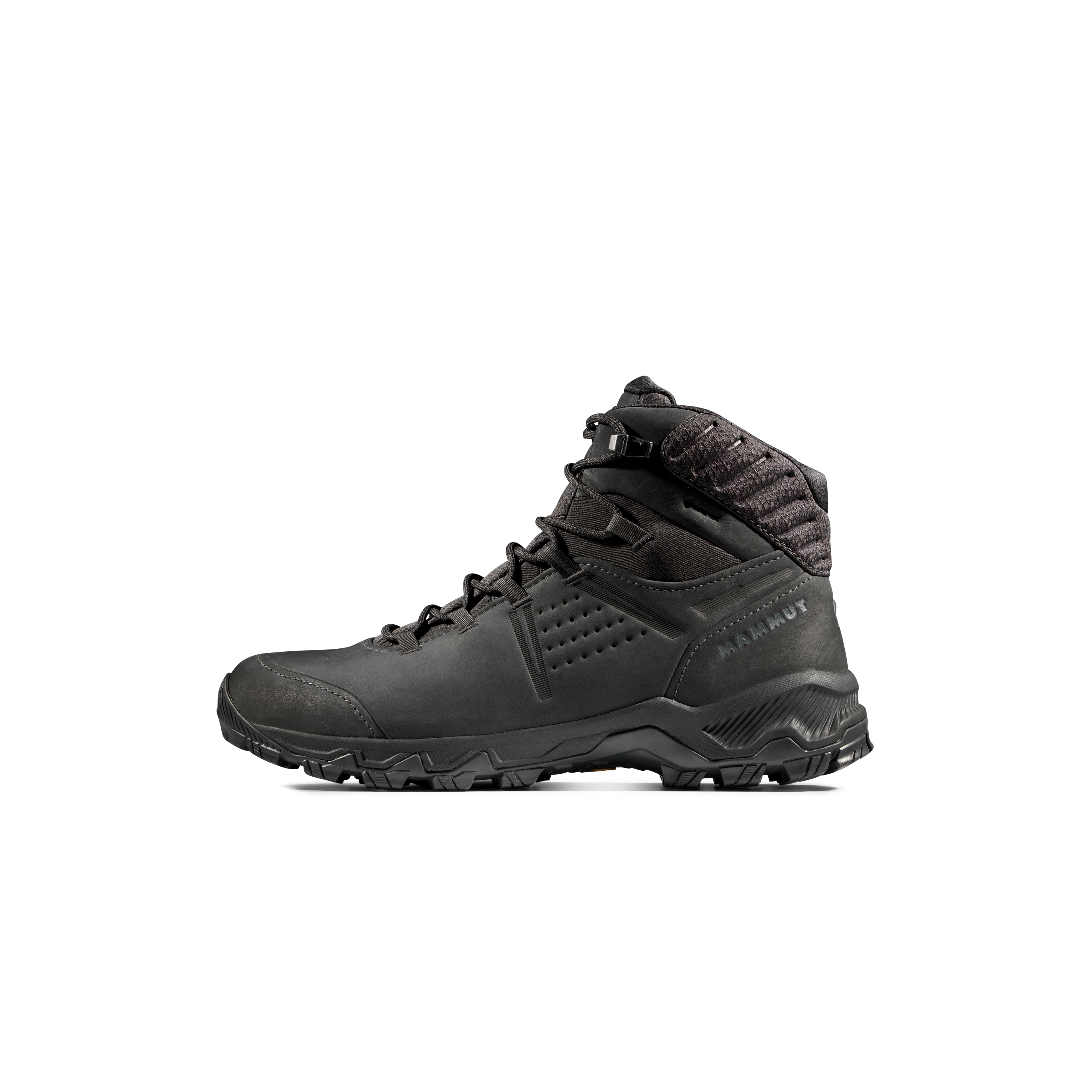
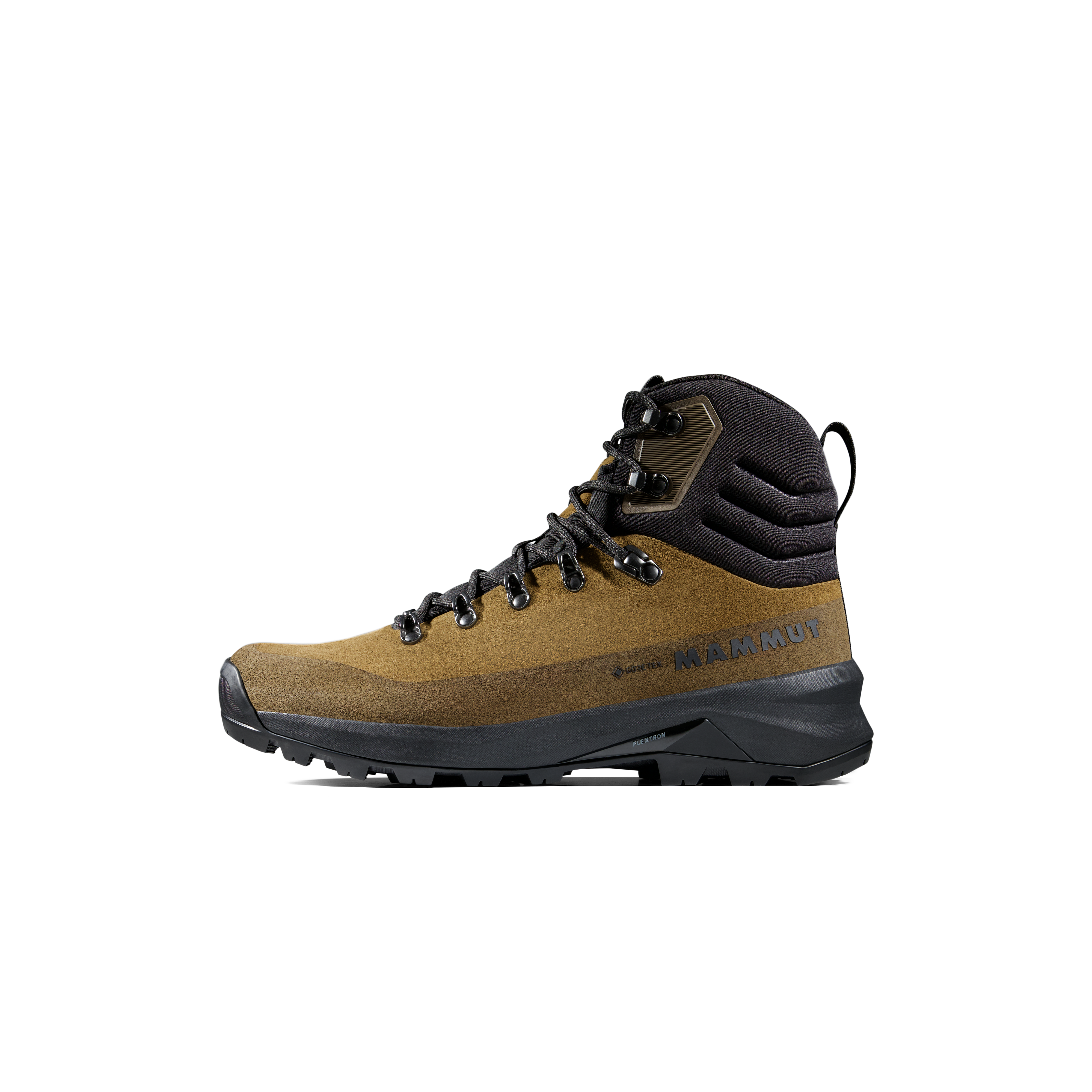
Proper hiking footwear
Volcanic gravel, uneven rocks and a long descent make supportive footwear far more appropriate than casual urban shoes.
Separate rain jacket + pants
An umbrella or lightweight poncho is not an equivalent high-wind mountain rain system.
Warm clothing
Summit temperatures can approach freezing, and wind chill makes waiting for sunrise significantly colder.
Headlamp
A phone flashlight is a poor primary lighting system. Carry a real headlamp and enough battery capacity for the descent if delayed.
Trekking poles
Useful for balance and reducing repeated impact on loose volcanic slopes. Keep tips controlled around crowded hikers.
Eye and face protection
Sunglasses, sunscreen and a buff or mask help with intense UV, wind and dusty descent routes.
Mount Fuji Safety Essentials
These are the two categories most directly tied to Fuji’s required preparation: dependable hiking footwear and a real headlamp for pre-dawn or delayed travel.
Mount Fuji Safety Essentials
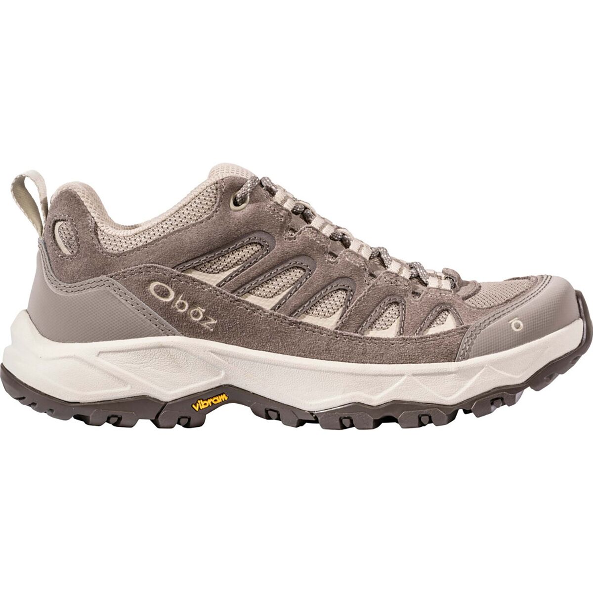
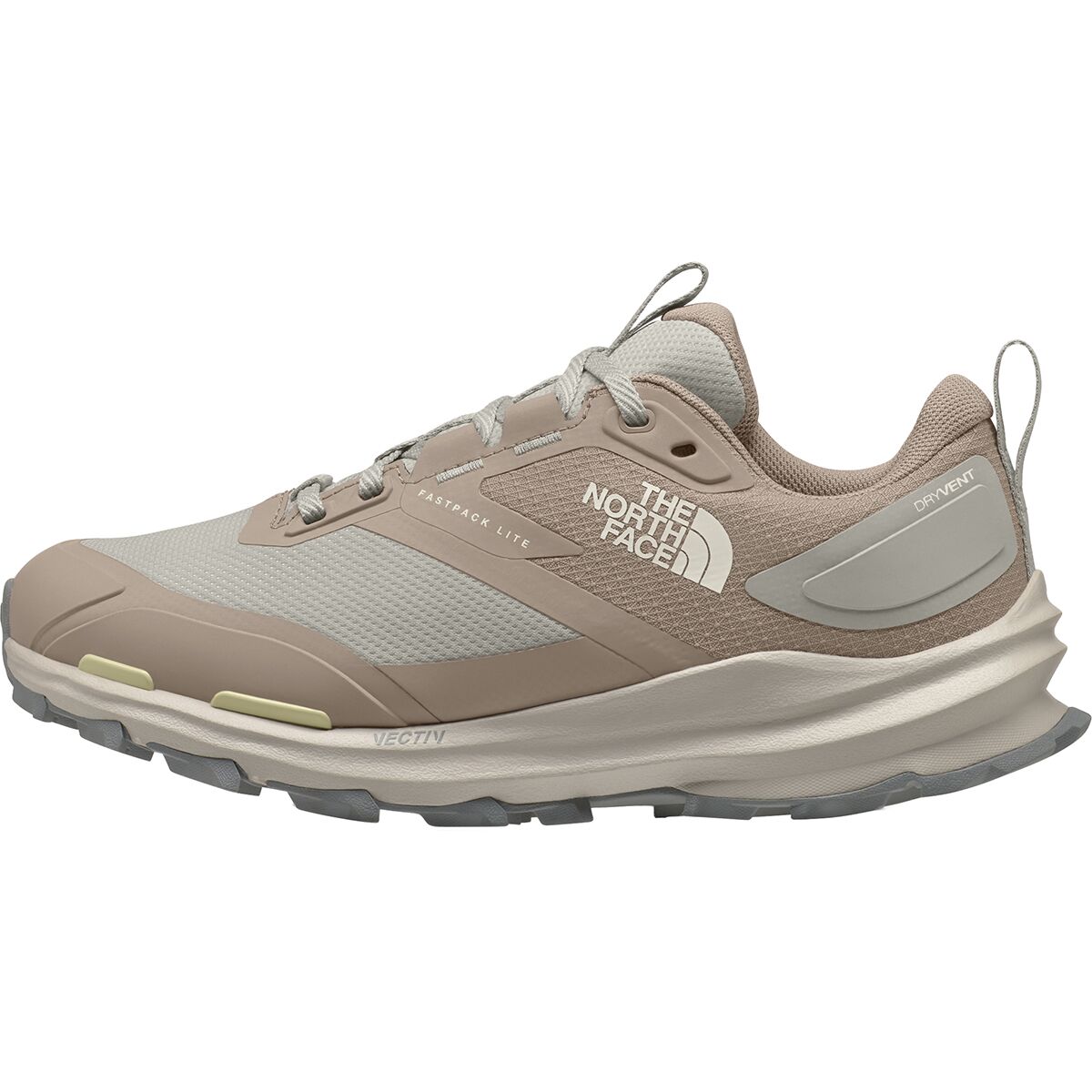
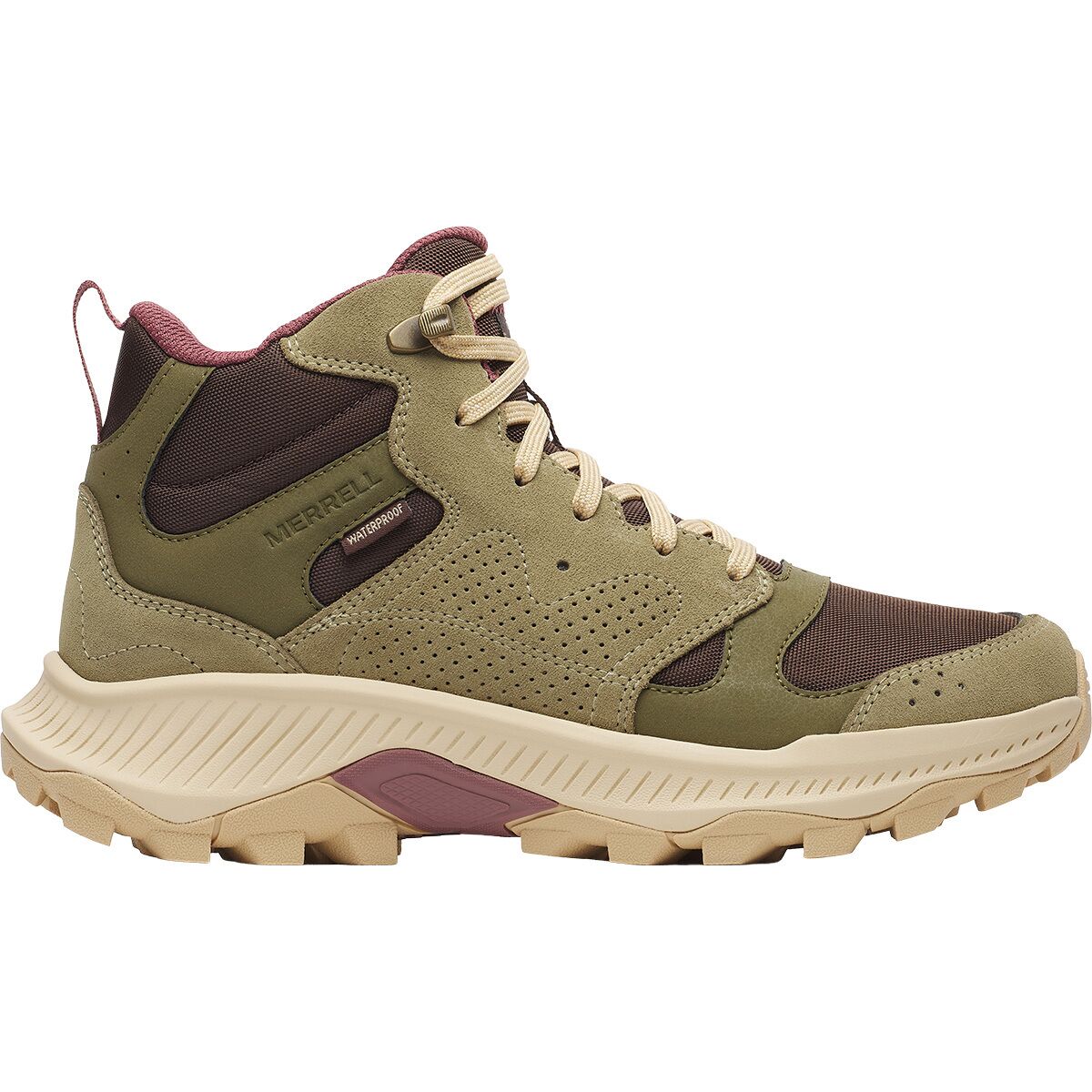
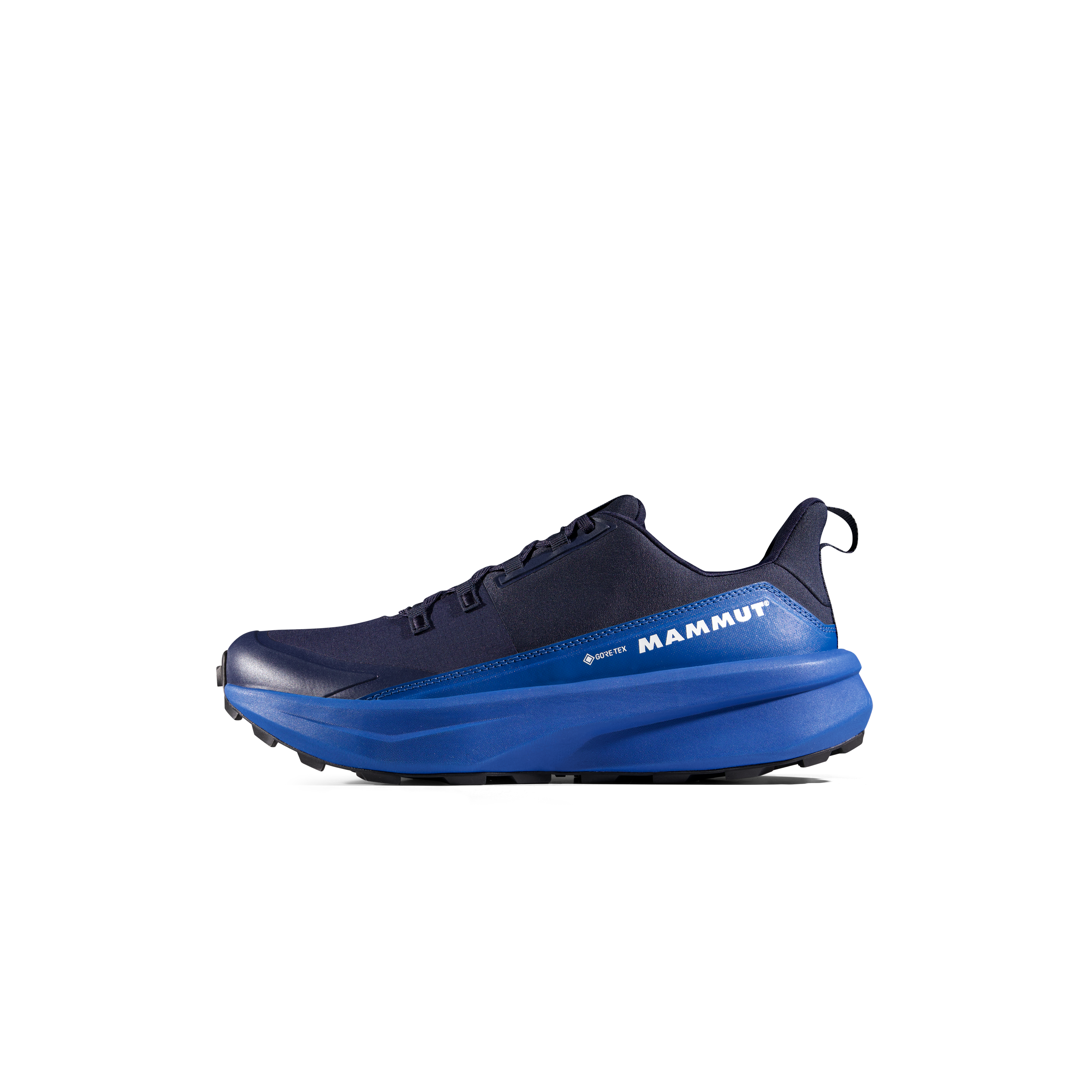
We may earn a commission if you buy through these links, at no extra cost to you. Affiliate disclosure

The 5th Station Is Part of the Acclimatization Strategy.
Eat, organize equipment, hydrate and spend time at elevation before beginning the upward push.
Who Is Mount Fuji Appropriate For?
Fuji can be an excellent first high mountain when the basic hiking foundation is already there.
A regular hiker with endurance
- Comfortable walking for most of a day
- Has trained on hills or stairs
- Can carry warm / rain layers and water
- Will pace slowly
- Accepts turning around
- Plans within the official season
A traveler treating Fuji like sightseeing
- No recent hiking or endurance base
- Casual shoes and inadequate clothing
- Very tight travel schedule
- No allowance for altitude symptoms
- Plans to climb through the night without rest
- Determined to summit regardless of conditions
Off-Season Fuji Is Not the Same Mountain
Do not transfer the summer difficulty rating into autumn, winter or spring.
Maintained hiking routes
Huts, toilets, trail signs, transport and emergency systems operate during the official season.
Infrastructure disappears
Mountain huts and most facilities close, trail maintenance stops and seasonal signage may be removed.
Snow, ice and severe wind
Fuji becomes a genuine winter mountaineering objective with hard snow, ice, severe wind and fall consequences completely unlike the normal summer hike.
Check current status in the Mount Fuji Season Status Guide before planning travel.
Reaching the Crater Rim Is Not the Same as Reaching Kengamine
Many climbers reach their route’s summit shrine and correctly decide that the climb is complete.
The crater circuit adds time
Walking around the summit crater extends the day when the climber is already at maximum altitude and potentially tired.
Japan’s true high point
Kengamine is the 3,776 m summit point. Reaching it can involve additional steep volcanic walking beyond the main route arrival points.
Skip it when weather is marginal
The summit rim is exposed to strong wind, heavy rain, lightning and dense fog. It is an optional extension—not a requirement for a successful Fuji climb.
Mount Fuji Trail Geography
Yoshida approaches from Yamanashi. Fujinomiya, Gotemba and Subashiri begin from Shizuoka.
Emergency Decisions on Mount Fuji
In an emergency, location information is often as important as describing the injury.
110
Police. Useful for mountain-rescue emergencies and situations requiring police coordination.
119
Fire, ambulance and emergency medical response.
Know your location
Check GPS, trail color, station number, hut name or nearby official signage before requesting assistance when possible.
Mount Fuji Difficulty & Safety FAQ
The most useful answers for hikers deciding whether Fuji fits their current experience.
How difficult is Mount Fuji?
During the official summer season, Mount Fuji is technically straightforward but physically moderate to strenuous. The main challenges are altitude, elevation gain, long hiking hours, loose volcanic terrain, cold, wind and rapidly changing weather.
Is Mount Fuji suitable for beginners?
Yes for a prepared beginner who already has basic hiking fitness, proper footwear and clothing, realistic pacing and a willingness to turn around. It should not be treated as a casual sightseeing walk.
Which Mount Fuji trail is easiest?
Yoshida is generally the most forgiving first-time system because it starts relatively high and has extensive mountain-hut infrastructure. Fujinomiya is shorter but steeper, while Gotemba is substantially longer and has the greatest elevation gain.
Which Mount Fuji trail is hardest?
Gotemba is usually the hardest physically because it starts at about 1,440 m and requires roughly nine hours of ascent over more than 10 km according to official route estimates.
Do you need climbing experience for Mount Fuji?
Technical climbing experience is not normally required for the official summer routes. Hiking experience, endurance, mountain clothing and basic judgment are much more important.
Do you need crampons or an ice axe for Mount Fuji?
Not for normal conditions on the maintained official summer routes. If snow or ice conditions require winter mountaineering equipment, the mountain should no longer be treated as the standard summer hike.
Can you get altitude sickness on Mount Fuji?
Yes. The summit is 3,776 m, and the official Fuji safety guidance specifically warns about headache, dizziness, fatigue, nausea and other altitude symptoms. Rest near the 5th Station, climb slowly and descend if symptoms worsen.
How long does Mount Fuji take to climb?
Official ascent estimates range from about five hours on Fujinomiya to around nine hours on Gotemba, before adding breaks, summit time and descent. Yoshida is approximately six hours up and four down.
Is climbing Mount Fuji at night dangerous?
It adds cold, darkness, sleep deprivation and route-finding difficulty. Japan’s current access system is specifically designed to discourage overnight “bullet climbing.” A mountain-hut strategy is safer for most sunrise climbers.
Can I climb Mount Fuji outside the official season?
Ordinary hikers should not. Outside the official season, trails and facilities close and the mountain can develop snow, hard ice, severe cold and powerful winds. It becomes a winter mountaineering objective rather than a hike.
Is the Mount Fuji crater rim difficult?
The Ohachimeguri crater circuit is technically straightforward in good summer conditions, but it adds time at the highest elevation and is exposed to strong wind, fog, rain, lightning and loose rock.
What are the emergency numbers on Mount Fuji?
In Japan, call 110 for police or 119 for fire / ambulance emergency response. Know your route, location and nearest station or hut when possible.
Difficulty Is Only One Part of a Safe Mount Fuji Climb
The pages below own the surrounding questions so this page stays focused on difficulty and safety.
Official Sources Behind This Safety Guide
Global Summit Guide has not personally climbed Mount Fuji. This page is research-based and prioritizes official Japanese guidance.
Official Website for Mt. Fuji Climbing
Current season dates, four-trail data, health guidance, route rules, weather, emergency advice and summit-rim status.
Shizuoka Prefecture
Official regulations for Fujinomiya, Gotemba and Subashiri, including FUJI NAVI procedures and climbing restrictions.

Treat Fuji Like a Mountain and It Becomes an Excellent First High Summit.
Train for the vertical gain. Rest at the 5th Station. Climb slowly. Carry real rain and cold-weather layers. Stay alert on the descent. Ignore the summit when altitude or weather says no. Those decisions matter far more than whether the trail is technically easy.
Open the Full Mount Fuji Guide Plan the 2027 ClimbWas this helpful?
🏔Related peaks nearby
🧭Explore & compare
Global Summit Guide is an independent mountaineering resource founded in 2026. The team combines first-hand trekking and climbing experience with in-depth research and professional health and nutrition review to help climbers choose objectives, prepare properly, and stay safe.
Health, altitude, and nutrition content is reviewed by Taylor Ludlow (Registered Nurse) and Brigg Hoopes (Nutritionist).
What We Don't Know Yet
Mountain information changes quickly. This box explains the limits of what this page can responsibly promise.
- Visa, passport, vaccination, border, insurance, and local transportation rules may change before your trip.
- Route conditions, snowpack, closures, and weather can change quickly after this page is updated.
- Permit rules, fees, quotas, and reservation windows may change between review cycles.
- Operator availability, pricing, guide ratios, and cancellation terms can change by season.
- Your fitness, altitude response, risk tolerance, and experience level may change what is safe or realistic.
Verify current conditions with official land managers, guide services, local forecasts, and current route reports before booking or climbing.
Mountaineering, rock and ice climbing, glacier travel, and high-altitude activity are inherently dangerous and can result in serious injury or death. The information on Global Summit Guide is provided for general informational and educational purposes only and is not a substitute for professional instruction, qualified guiding, proper equipment, or your own judgment and experience.
Route conditions, weather, snowpack, permits, regulations, and hazards change constantly and may differ from what is described here. Details may be incomplete, out of date, or contain errors. Always verify current information with local authorities, certified guides, and official sources before making any decision in the mountains.
Nothing on this site is medical, legal, or financial advice. Our fitness, acclimatization, altitude, and nutrition content is general in nature; consult a qualified physician before beginning any strenuous exercise program or exposing yourself to high altitude.
You are solely responsible for your own safety and decisions. To the fullest extent permitted by law, Global Summit Guide and its team accept no liability for any loss, injury, damage, or expense arising from use of, or reliance on, this information. By using this site you acknowledge these risks and accept these terms.
Some links on this site may be affiliate links. If you buy through them we may earn a small commission at no extra cost to you; this never affects our recommendations.
Global Summit Guide recommendation path
Next Best Mountain to Research
Use these recommendations to continue the right planning path instead of stopping on one page.
Use current permit, weather, route, and operator information before booking or climbing.
Explore Travel Options for Your Destination
Once your mountain, dates and route are taking shape, compare flights, hotels and other travel options that fit the trip.
Affiliate link. We may earn a commission at no additional cost to you.