
Last updated September 17, 2026
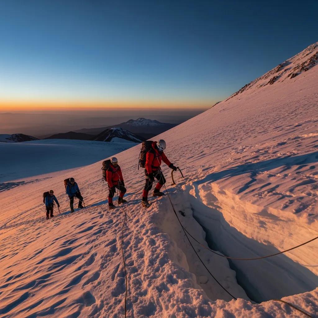
Pico de Orizaba Acclimatization: Build the Right Altitude Plan
Pico de Orizaba reaches 5,636 m (18,491 ft). The central planning problem is not simply “how many days?” It is how quickly your sleeping altitude rises, how much recent altitude exposure you already have, how you respond on La Malinche or Iztaccíhuatl, and whether symptoms are improving or getting worse.
Plan the Sleeping Altitudes, Not Just the Summit Peaks.
A common Orizaba strategy is to arrive on Mexico’s high plateau, use one or more acclimatization hikes, then move to the mountain. That can work well—but the most important number is often the altitude where you sleep, not the highest point you touch during the day.
Current CDC and Wilderness Medical Society guidance emphasizes gradual ascent. Above about 3,000 m, WMS advises limiting sleeping-altitude gain to roughly 500 m per day and adding periodic acclimatization days. Individual tolerance varies, so even a schedule that looks conservative on paper may need to slow down.
The Four Altitude Rules That Matter Most
These are general travel-medicine principles, not an Orizaba-specific prescription. Your route, symptoms and prior exposure still control the decision.
1. Stage the First Big Jump
The CDC recommends avoiding a direct jump from low elevation to a sleeping altitude above roughly 2,750 m when possible. Spending a few nights around 2,450–2,750 m before moving higher is protective against AMS.
2. Track Sleeping Altitude
Once above 3,000 m, WMS recommends increasing sleeping elevation by no more than about 500 m per day and including regular rest/acclimatization days.
3. Climb High, Sleep Lower
Daytime exposure higher on La Malinche or Iztaccíhuatl can be useful because you can descend to a lower sleeping altitude. The CDC notes that overnight hypoxemia is greater than daytime exposure at the same height.
4. Symptoms Override the Calendar
A pre-booked summit day does not outrank physiology. If mild symptoms are worsening at the same altitude, do not go higher. Suspected HACE or HAPE is an emergency.
Fitness Is Not Acclimatization
Fitness helps you move efficiently on summit day, but CDC guidance is clear that physical fitness does not determine susceptibility to altitude illness.
Recent Exposure Can Help
At least two nights above about 2,750 m during the prior two weeks can provide useful pre-acclimatization. The closer that exposure is to the trip, the more useful it tends to be.
The Mexico Volcano Acclimatization Corridor
Mexico City, La Malinche, Iztaccíhuatl and Pico de Orizaba sit close enough to combine into one altitude-progression trip. This map is for regional orientation only—not road or climbing navigation.
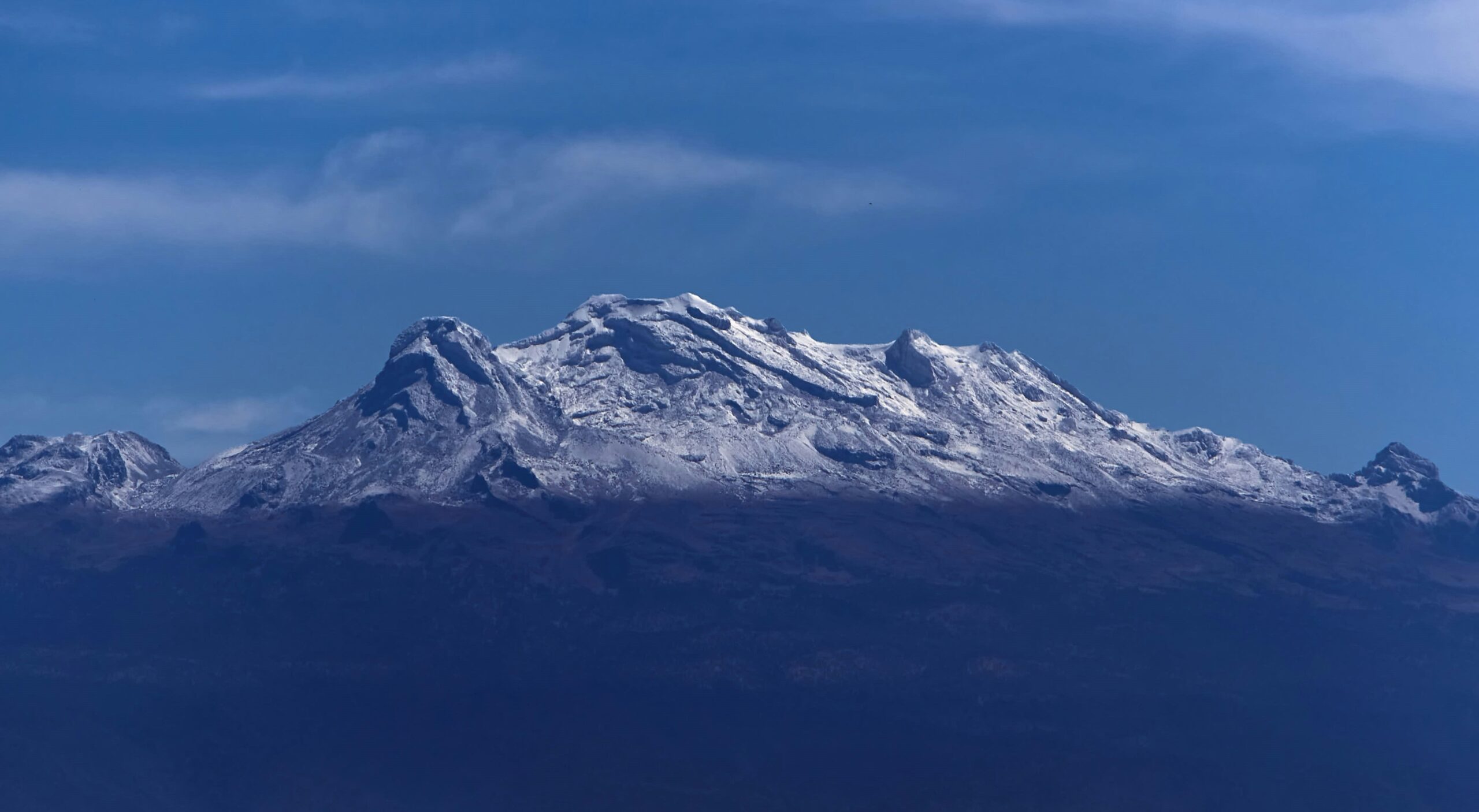
A Higher Test Is Valuable Only If the Schedule Gets You There Safely.
Iztaccíhuatl reaches above 5,000 m and can reveal how you handle a long high-altitude day. But adding a bigger acclimatization peak does not automatically improve the plan if it forces an overly rapid increase in sleeping altitude or leaves you depleted before Orizaba.
Five Useful Altitude Building Blocks
You do not need to climb every mountain. Choose the sequence that gives you useful exposure without turning acclimatization into a fatigue contest.
Mexico City / Puebla
Use the plateau arrival to recover from travel, hydrate normally, sleep and observe how you feel before adding a major climbing day.
~2,160–2,240 mLa Malinche
A straightforward way to spend meaningful time above 4,000 m. The value is the exposure and the information your body gives you—not checking a summit box.
4,461 mNevado / Sierra Negra
An intermediate altitude day can add exposure without another huge summit effort. Access and restrictions vary, so confirm current local rules.
~4,500–4,680 mIztaccíhuatl
A major high-altitude objective in its own right. Best for climbers who already tolerate the earlier steps and have enough time to recover afterward.
5,230 mPico de Orizaba
Move to the hut only after the earlier exposures and sleeping elevations make sense for you. Summit day should be the culmination of the plan, not the acclimatization plan itself.
5,636 mSlower vs. Compressed Orizaba Schedules
The schedules below illustrate the tradeoff. They are not universal medical recommendations and should be adapted to your starting elevation, recent exposure, symptoms and operator logistics.
10–12 Day Framework
Best fit for a climber arriving from low altitude without strong recent pre-acclimatization.
6–8 Day Framework
A compressed trip can be reasonable for some climbers with recent altitude exposure and a known personal response—but it leaves less room to fix a bad first few days.
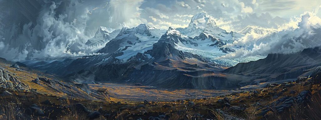
Mexico Lets You Test Altitude Before the Summit Night.
The central-Mexico volcano corridor gives you something many short expeditions lack: several meaningful altitude exposures before the final objective. Use that opportunity to learn how you sleep, eat, recover and think at altitude—not simply to accumulate more summits.
What Your Symptoms Should Change
Altitude plans are dynamic. A schedule that was reasonable at booking can become unreasonable after a poor night, illness, dehydration, travel fatigue or a bad response to the first high day.
Mild symptoms, stable or improving
A mild headache, reduced appetite, light sleep or fatigue can occur after ascent. Do not automatically go higher. Rest at the same altitude, reduce exertion, hydrate normally, and reassess. If symptoms are resolving, the plan may continue conservatively.
Symptoms worsening at the same altitude
That is a clear signal not to ascend. Worsening AMS can progress. Descent becomes increasingly important when symptoms do not improve with rest or when they intensify.
Confusion or loss of coordination
Ataxia, confusion, unusual drowsiness or altered mental status can indicate HACE. Treat this as an emergency: descend urgently and use medical support, oxygen or other emergency measures when available.
Breathlessness at rest
Shortness of breath at rest, worsening cough, chest tightness or severe exercise intolerance can indicate HAPE. In the field, urgent descent and oxygen are more effective than trying to “push through.”
What Acetazolamide (Diamox) Actually Does
The old version of this page described Diamox as mostly “masking symptoms.” That is inaccurate. CDC guidance describes acetazolamide as a drug that speeds ventilatory acclimatization.
It Helps the Acclimatization Process.
Acetazolamide causes a mild metabolic acidosis that stimulates ventilation, improving oxygenation—especially during sleep. Used preventively, it can reduce the occurrence and severity of AMS and speed acclimatization.
That does not mean it makes any itinerary safe. It is best understood as one tool within an ascent plan, especially when a rapid gain is difficult to avoid.
Pre-Acclimatization Before Mexico
If you live near mountains or can spend a weekend high before departure, recent exposure can materially improve the first days of the trip.
Two Nights High
CDC notes that at least two nights above roughly 2,750 m within the prior two weeks can be useful. A single quick summit day may be less valuable than actual overnight exposure.
Keep It Recent
Acclimatization fades after returning low. A high weekend immediately before travel is generally more useful than a similar trip many weeks earlier.
Do Not Arrive Exhausted
Pre-acclimatization should not become a last-minute ultra-endurance block. Arrive healthy, rested and able to absorb the climbing days in Mexico.
How This Acclimatization Guide Was Built
This is a research-based page. It does not claim a personal medical evaluation or first-hand Orizaba climb.
Primary altitude sources
Editorial rules used here
- Sleeping altitude is separated from daytime high points.
- No universal “safe number of days” is claimed.
- Medication is described as context, not personalized prescribing.
- Worsening symptoms override itinerary commitments.
- Fitness is not presented as protection from altitude illness.
- Local access, route and weather conditions should be confirmed separately.
Pico de Orizaba Acclimatization FAQ
Quick answers to the questions climbers most often need before building the Mexico volcano schedule.
How many days should I acclimatize for Pico de Orizaba?
There is no single safe number for everyone. Risk depends on starting elevation, recent altitude exposure, sleeping-altitude gains, prior altitude history and symptoms. A slower 10–12 day Mexico itinerary usually provides more room for staged exposure than a rushed 6–7 day trip, but the sleeping-altitude profile matters more than the trip label.
What peaks are useful before Pico de Orizaba?
La Malinche is a common first high-altitude day, while Iztaccíhuatl provides a substantially higher test above 5,000 m. Some itineraries also use intermediate objectives such as Ajusco, Nevado de Toluca or Sierra Negra depending on access, conditions and experience.
Does “climb high, sleep low” help?
Yes. Daytime exposure at higher elevation followed by a lower sleeping altitude can provide useful acclimatization stimulus with less overnight hypoxic stress. Sleeping altitude still deserves special attention because oxygen saturation is generally lowest during sleep.
Can Diamox replace acclimatization?
No medication makes an unsafe ascent automatically safe. Acetazolamide can speed acclimatization and reduce AMS risk, and it is often considered when abrupt ascent is unavoidable. Discuss whether it is appropriate for you with a qualified clinician.
Does being very fit prevent altitude sickness?
No. Fitness helps with the physical work of the climb but does not reliably protect against altitude illness. Ascent rate, sleeping altitude, prior exposure and individual susceptibility matter more.
What symptoms mean I should stop ascending?
Do not ascend higher with worsening altitude symptoms. Confusion, loss of coordination, breathlessness at rest or other signs suggesting HACE or HAPE are emergencies requiring urgent descent and medical care.
Is Iztaccíhuatl required before Orizaba?
No. It is a useful high-altitude preparation option, not a mandatory prerequisite. Whether it belongs in your itinerary depends on existing acclimatization, experience, available days, current access and weather.
Does altitude exposure before Mexico help?
It can. The CDC notes that spending at least two nights above roughly 2,750 m during the prior two weeks can be useful pre-acclimatization. The benefit fades with time and does not eliminate the need for a sensible ascent profile in Mexico.

Travis Ludlow · Global Summit Guide
Travis edits Global Summit Guide’s mountain-planning and progression content. This Orizaba acclimatization page is research-based and is grounded in current CDC and Wilderness Medical Society altitude guidance rather than a claimed first-hand Orizaba ascent.
Continue Planning Pico de Orizaba
This page owns acclimatization. Use the parent guide and specialist children for route, weather, gear, logistics and operator questions.
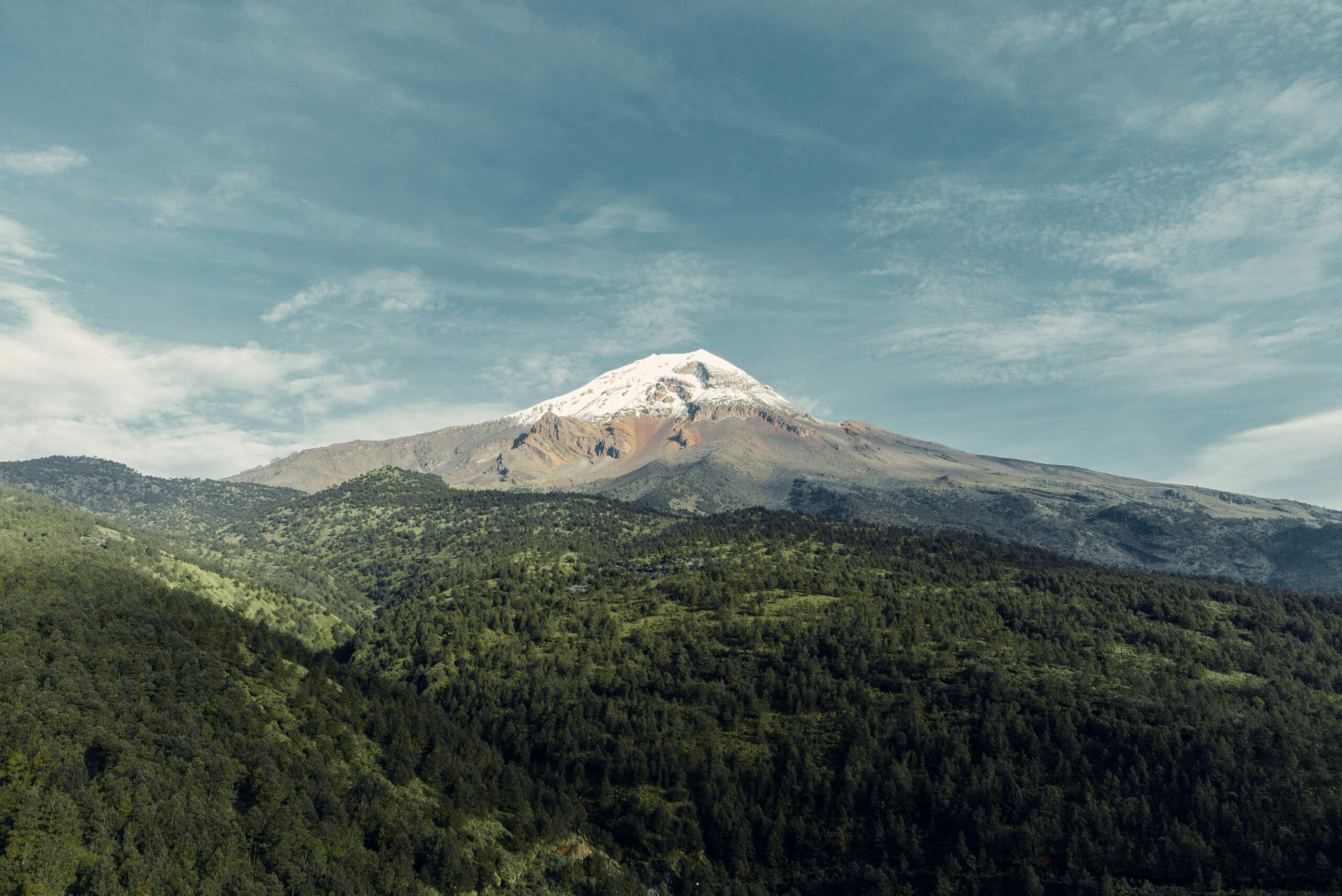
Arrive at Summit Night With Fewer Unknowns.
The best acclimatization plan does not guarantee a summit. It gives you a more informed starting point: a measured sleeping-altitude progression, recent high-altitude exposure, known symptom patterns and enough schedule flexibility to slow down when your body says to.
Was this helpful?
🏔Related training
🧭Explore & compare
Global Summit Guide is an independent mountaineering resource founded in 2026. The team combines first-hand trekking and climbing experience with in-depth research and professional health and nutrition review to help climbers choose objectives, prepare properly, and stay safe.
Health, altitude, and nutrition content is reviewed by Taylor Ludlow (Registered Nurse) and Brigg Hoopes (Nutritionist).
What We Don't Know Yet
Mountain information changes quickly. This box explains the limits of what this page can responsibly promise.
- Fitness and altitude response vary by person; no guide, itinerary, or training plan can guarantee acclimatization or summit success.
- Visa, passport, vaccination, border, insurance, and local transportation rules may change before your trip.
- Route conditions, snowpack, closures, and weather can change quickly after this page is updated.
- Permit rules, fees, quotas, and reservation windows may change between review cycles.
- Operator availability, pricing, guide ratios, and cancellation terms can change by season.
Verify current conditions with official land managers, guide services, local forecasts, and current route reports before booking or climbing.
Mountaineering, rock and ice climbing, glacier travel, and high-altitude activity are inherently dangerous and can result in serious injury or death. The information on Global Summit Guide is provided for general informational and educational purposes only and is not a substitute for professional instruction, qualified guiding, proper equipment, or your own judgment and experience.
Route conditions, weather, snowpack, permits, regulations, and hazards change constantly and may differ from what is described here. Details may be incomplete, out of date, or contain errors. Always verify current information with local authorities, certified guides, and official sources before making any decision in the mountains.
Nothing on this site is medical, legal, or financial advice. Our fitness, acclimatization, altitude, and nutrition content is general in nature; consult a qualified physician before beginning any strenuous exercise program or exposing yourself to high altitude.
You are solely responsible for your own safety and decisions. To the fullest extent permitted by law, Global Summit Guide and its team accept no liability for any loss, injury, damage, or expense arising from use of, or reliance on, this information. By using this site you acknowledge these risks and accept these terms.
Some links on this site may be affiliate links. If you buy through them we may earn a small commission at no extra cost to you; this never affects our recommendations.
Global Summit Guide recommendation path
Next Best Mountain to Research
Use these recommendations to continue the right planning path instead of stopping on one page.
Use current permit, weather, route, and operator information before booking or climbing.