
Last updated September 16, 2026

Cotopaxi Acclimatization Guide: Quito, Iliniza Norte & Summit Plan
For most climbers arriving from low elevation, plan 5–8 days in Ecuador before the Cotopaxi summit attempt. Use Quito as the starting altitude, add a 4,000–4,700 m hiking day, then a higher acclimatization objective such as Iliniza Norte before moving to Cotopaxi. Do not treat a two-day Cotopaxi climb as your entire acclimatization plan unless you arrive recently acclimatized.
How Should You Acclimatize for Cotopaxi?
Build altitude in steps, not in one jump: sleep in Quito, complete one or two moderate acclimatization hikes, climb above 4,500 m, recover, then attempt a 5,000 m-class objective before Cotopaxi if your schedule allows.
Current Ecuador volcano programs commonly use combinations of Pasochoa, Rucu Pichincha, Corazón and Iliniza Norte before Cotopaxi. That pattern matters more than copying one company’s exact day numbers.
Example 5–8 Day Cotopaxi Acclimatization Plan
Adjust the plan to your recent altitude history and recovery.
| Day | Objective | Purpose |
|---|---|---|
| 1 | Arrive Quito (~2,850 m) | Hydrate, sleep, avoid a hard first day |
| 2 | Easy Quito / moderate hike | Let the first altitude exposure settle |
| 3 | Rucu Pichincha / comparable 4,000–4,700 m day | First substantial altitude hike |
| 4 | Recovery or Corazón / Pasochoa depending response | Add exposure without accumulating excessive fatigue |
| 5 | Iliniza Norte / equivalent ~5,000 m objective | Test higher altitude before Cotopaxi |
| 6 | Rest / transfer / gear check | Recover before summit cycle |
| 7 | Cotopaxi approach / refuge or lodge | Final preparation |
| 8 | Cotopaxi summit attempt | 5,897 m target |
The key is not touching the highest possible elevation every day. Strong acclimatization plans alternate altitude exposure with recovery so you reach Cotopaxi adapted rather than exhausted.
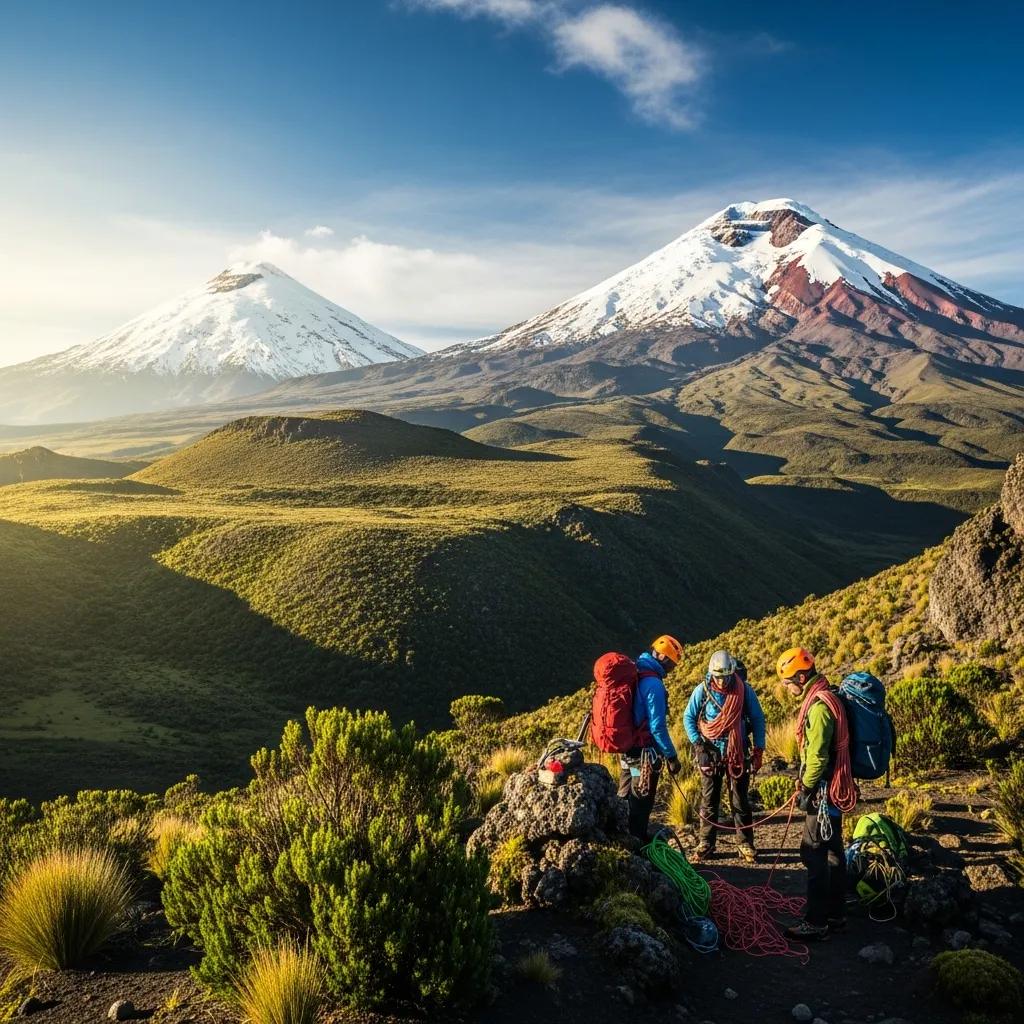
The Andes Let You Build Altitude in Small Steps.
Quito and nearby volcanoes create an unusually efficient altitude ladder: sleep high, hike higher, recover, then move toward a 5,000-metre objective before Cotopaxi.
What Quito Does—and Does Not—Do
Quito sits around 2,850 m / 9,350 ft, which means acclimatization starts almost immediately after arrival. That is useful, but it is not enough by itself for a 5,897 m summit.
Sleeping at altitude
Your first nights are already well above sea level.
Easy recovery
You can rest, hydrate and organize equipment without climbing hard immediately.
No 5,000 m exposure
Quito alone does not test how you respond near the elevations that matter most for Cotopaxi.
Arrive and rush
Do not confuse sleeping in Quito for one night with being ready for the summit.
Why Rucu Pichincha Fits So Well
The TelefériQo rises from roughly 3,117 m to Cruz Loma near 3,947 m, putting you high very quickly. The operator itself warns visitors that the rapid vertical change can be felt and recommends taking time to adapt. From the upper station, hiking routes continue toward Rucu Pichincha.
Where Iliniza Norte Fits
Iliniza Norte at roughly 5,126 m is one of the most useful pre-Cotopaxi altitude tests because it takes you above 5,000 m without repeating Cotopaxi’s glacier summit day.
| What it tests | Why it matters |
|---|---|
| 5,000 m response | You learn how your body handles a more serious altitude jump |
| Long uphill pacing | You test endurance without using Cotopaxi as the experiment |
| Recovery | The next day’s condition tells you whether the progression is working |
| Judgment | A poor day on Iliniza is information, not a failure to ignore |
Current commercial Cotopaxi programs commonly include Iliniza Norte or similar high acclimatization peaks before the summit attempt. That industry pattern is one reason this page treats a 5,000 m-class objective as the strongest bridge.
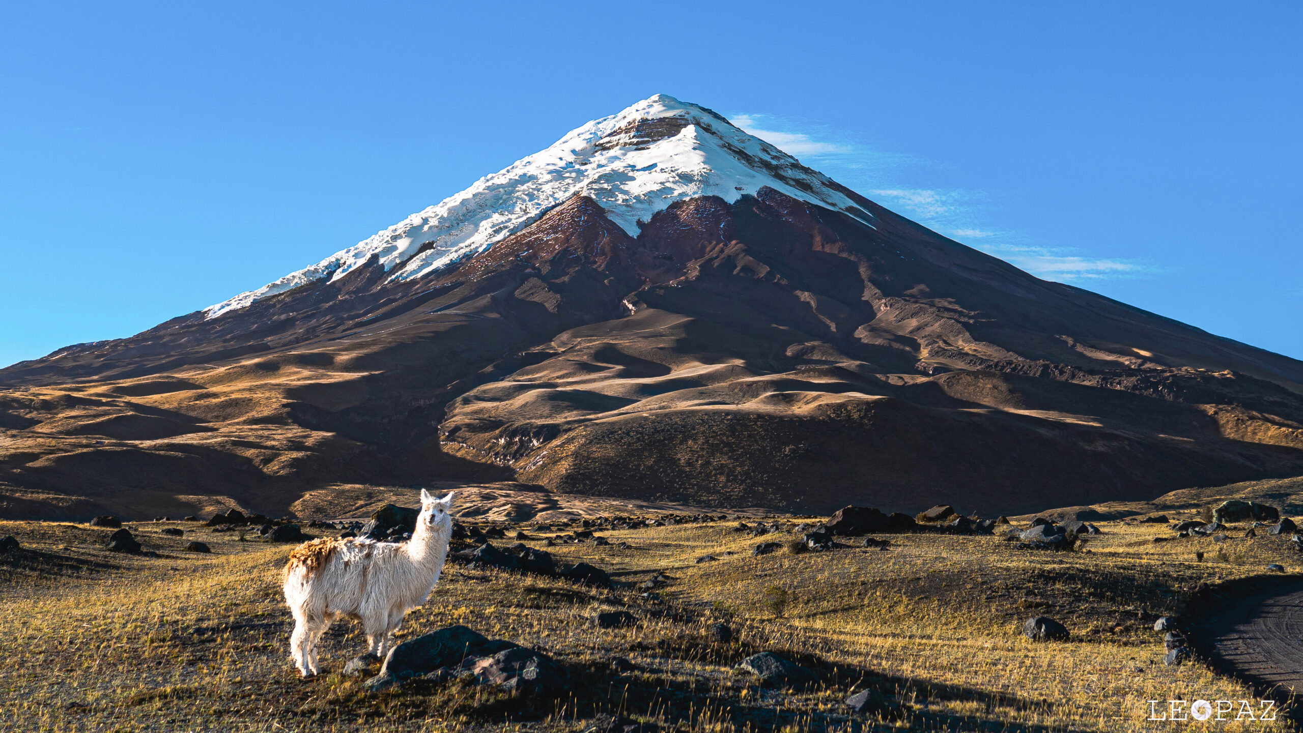
Arrive at Cotopaxi Recovered, Not Just Acclimatized.
The final goal of the ladder is not to collect preparation peaks. It is to reach the Cotopaxi summit cycle with enough adaptation and enough energy left to climb well.
What if You Are Already Acclimatized?
A climber arriving after recent meaningful altitude exposure may not need the full 5–8 day Ecuador ladder. The important questions are:
Recent sleeping altitude
Sleeping altitude matters more than touching one summit briefly.
Time since exposure
Acclimatization fades; last month’s climb is not the same as last week’s.
Personal response
Previous altitude symptoms should shape how aggressively you compress the schedule.
Technical preparation
Altitude readiness does not replace glacier skills, pacing or fitness.
Signs Your Schedule Is Too Aggressive
| Signal | Planning response |
|---|---|
| Persistent headache that worsens | Do not automatically continue upward |
| Poor sleep + unusual fatigue | Add recovery rather than another hard acclimatization peak |
| Loss of appetite / nausea | Reassess ascent rate and hydration; seek medical advice when appropriate |
| Performance collapsing at lower prep peak | Treat that as useful readiness information |
| Illness unrelated to altitude | Do not try to “make up” missed acclimatization days by climbing faster |
This page is planning guidance, not medical diagnosis. Severe or worsening altitude symptoms require conservative action and appropriate medical evaluation.
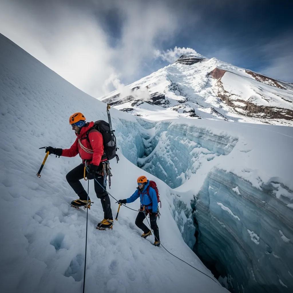
Adaptation Does Not Replace Glacier Competence.
Cotopaxi is still a glaciated mountain. Arriving acclimatized solves one problem; it does not solve crampon movement, rope-team travel, fitness, weather or route conditions.
Cotopaxi Can Become Part of the Acclimatization Ladder
If your real objective is Chimborazo at 6,263 m, then Cotopaxi changes roles. Instead of being the final destination, it becomes a high glacier climb within the broader Ecuador progression.
| Sequence | Role |
|---|---|
| Quito | Sleep high and begin adaptation |
| Rucu / Corazón | Moderate hiking exposure |
| Iliniza Norte | 5,000 m acclimatization test |
| Cotopaxi | 5,897 m glacier climb and higher exposure |
| Rest | Recovery before higher objective |
| Chimborazo | 6,263 m final objective |
Continue Planning
Cotopaxi Climbing Guide
Use the parent page for route, park, refuge and complete climb planning.
Open Cotopaxi →ProgressionWhat to Climb Before Cotopaxi
Owns long-term prerequisite peaks and skills, not in-country acclimatization timing.
Build progression →OperatorsCotopaxi Operators
Compare companies by acclimatization schedule, guide ratio, equipment and fallback plan.
Compare operators →LogisticsCotopaxi Permits & Logistics
Keep current access and park rules separate from the acclimatization owner.
Check logistics →Deep recoveryAltitude Acclimatization Explained
Understand the physiology behind the schedule.
Read altitude guide →Deep recoveryAltitude Risk Calculator
Use as a planning aid, not a medical clearance tool.
Check risk →Deep recoveryMountain Weather
Altitude preparation does not replace current summit-weather judgment.
Read weather →JourneyMy Climb Plan
Save your Quito arrival, acclimatization objectives and Cotopaxi target day.
Build My Cotopaxi Plan →How This Acclimatization Plan Was Built
The structure was cross-checked against current Ecuador volcano programs that use staged altitude progression rather than a direct Quito-to-Cotopaxi jump. Mountain Gurus currently uses Pasochoa, Rucu Pichincha, Corazón and Iliniza Norte before Cotopaxi. Other current operators publish similarly progressive Ecuador itineraries.
Quito is treated as the starting altitude at roughly 2,850 m. TelefériQo currently lists its upper station at Cruz Loma near 3,947 m and warns visitors about the rapid altitude gain. Ecuador’s Ministry of Environment lists Cotopaxi at 5,897 m.
What was removed: unsupported fixed summit-success percentages and claims that one exact schedule universally produces a particular success rate. The new page treats 5–8 days as a practical framework for low-elevation arrivals, not a guarantee.
Cotopaxi Acclimatization FAQ
How many days should I acclimatize?
For most low-elevation arrivals, 5–8 days is a practical planning window. Longer programs are also common.
Is Quito enough?
No. Quito is an excellent starting altitude, but most climbers still need higher acclimatization exposure before Cotopaxi.
Is Rucu Pichincha useful?
Yes. It provides an accessible 4,000 m-plus acclimatization day above Quito.
Is Iliniza Norte useful?
Yes. It is one of the strongest 5,000 m-class acclimatization objectives before Cotopaxi.
Can I climb two days after arriving?
Only consider that kind of schedule if you are already recently acclimatized and technically prepared.
What if I already have altitude exposure?
You may be able to compress the Ecuador schedule depending on how high, how recently and how well you responded.
Does acclimatization guarantee the summit?
No. Weather, glacier conditions, fitness, access and individual physiology still matter.
Should Cotopaxi come before Chimborazo?
Often yes. Many Ecuador volcano itineraries use Cotopaxi as a higher acclimatization climb before Chimborazo.
Arrive High. Climb Higher. Recover. Then Attempt Cotopaxi.
The strongest Ecuador schedule is not the fastest one. It is the one that gives you enough altitude exposure to adapt without using up the fitness and recovery you need for summit night.
Acclimatization Is Only One Part of the Climb
Once your Quito, Rucu Pichincha and Iliniza Norte progression is set, connect the altitude plan to Cotopaxi’s route, weather, logistics, operator choice and the next stage of your Ecuador progression.
Return to the complete mountain guide for the standard route, glacier character, summit day and overall trip planning.
Open Cotopaxi guide → Long-Term Progression What to Climb Before CotopaxiSeparate your in-country acclimatization schedule from the mountains and skills you should build in the months before Ecuador.
Build the progression → Guide Companies Compare Cotopaxi OperatorsCompare programs by acclimatization schedule, guide structure, equipment, summit approach and fallback options.
Compare operators → Access & Logistics Cotopaxi Permits & LogisticsCheck park access, refuge logistics, transportation and current planning requirements separately from the altitude schedule.
Plan the logistics → Summit Window Cotopaxi Weather & Best SeasonAcclimatization gets you ready for altitude; weather and glacier conditions still determine whether summit day makes sense.
Check season and weather → Difficulty & Safety How Hard Is Cotopaxi?Understand the difference between altitude readiness and glacier travel, rope-team movement, fitness and objective hazard.
Review difficulty → Altitude Deep Dive Altitude Acclimatization ExplainedSee the physiology behind the Quito-to-Iliniza ladder and why sleeping altitude, ascent rate and recovery matter.
Understand acclimatization → Planning Tool AMS Altitude Sickness Risk CalculatorReview your ascent profile and identify itinerary factors that may deserve a more conservative schedule.
Check the ascent plan →Was this helpful?
🏔Related training
🧭Explore & compare
Global Summit Guide is an independent mountaineering resource founded in 2026. The team combines first-hand trekking and climbing experience with in-depth research and professional health and nutrition review to help climbers choose objectives, prepare properly, and stay safe.
Health, altitude, and nutrition content is reviewed by Taylor Ludlow (Registered Nurse) and Brigg Hoopes (Nutritionist).
What We Don't Know Yet
Mountain information changes quickly. This box explains the limits of what this page can responsibly promise.
- Fitness and altitude response vary by person; no guide, itinerary, or training plan can guarantee acclimatization or summit success.
- Visa, passport, vaccination, border, insurance, and local transportation rules may change before your trip.
- Route conditions, snowpack, closures, and weather can change quickly after this page is updated.
- Permit rules, fees, quotas, and reservation windows may change between review cycles.
- Operator availability, pricing, guide ratios, and cancellation terms can change by season.
Verify current conditions with official land managers, guide services, local forecasts, and current route reports before booking or climbing.
Mountaineering, rock and ice climbing, glacier travel, and high-altitude activity are inherently dangerous and can result in serious injury or death. The information on Global Summit Guide is provided for general informational and educational purposes only and is not a substitute for professional instruction, qualified guiding, proper equipment, or your own judgment and experience.
Route conditions, weather, snowpack, permits, regulations, and hazards change constantly and may differ from what is described here. Details may be incomplete, out of date, or contain errors. Always verify current information with local authorities, certified guides, and official sources before making any decision in the mountains.
Nothing on this site is medical, legal, or financial advice. Our fitness, acclimatization, altitude, and nutrition content is general in nature; consult a qualified physician before beginning any strenuous exercise program or exposing yourself to high altitude.
You are solely responsible for your own safety and decisions. To the fullest extent permitted by law, Global Summit Guide and its team accept no liability for any loss, injury, damage, or expense arising from use of, or reliance on, this information. By using this site you acknowledge these risks and accept these terms.
Some links on this site may be affiliate links. If you buy through them we may earn a small commission at no extra cost to you; this never affects our recommendations.
Global Summit Guide recommendation path
Next Best Mountain to Research
Use these recommendations to continue the right planning path instead of stopping on one page.
Use current permit, weather, route, and operator information before booking or climbing.