
Mount Kailash Kora Trek: Permits, Route & Altitude Guide
Walk the sacred circuit with a realistic plan. Understand the roughly 52-km outer kora, Dolma La at around 5,630 m, foreign-traveler permit arrangements, the three trekking days and the decisions that should be settled before a deposit.
Information reviewed September 30, 2026 · Verify permit and border rules for your departure.
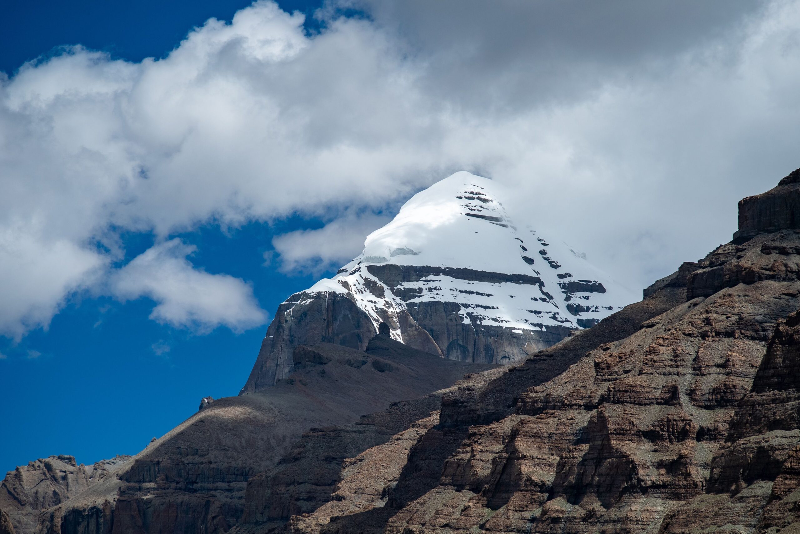 Mount Kailash · Global Summit Guide licensed Adobe Stock library
Trekking Footwear & Daypacks
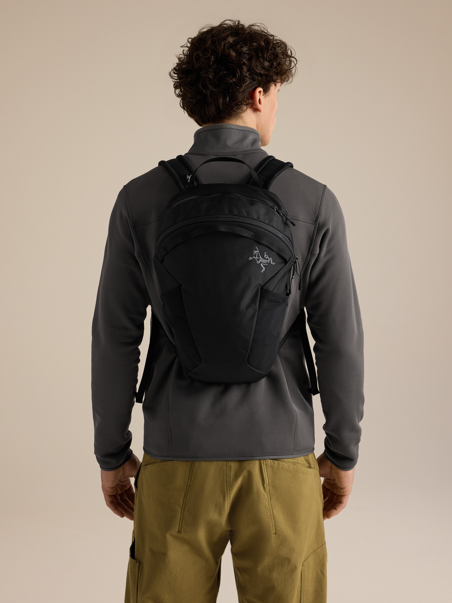

We may earn a commission if you buy through these links, at no extra cost to you. Affiliate disclosure
The standard Mount Kailash outer kora is a strenuous, non-technical pilgrimage circuit of roughly 52 km, usually walked in three days via Dirapuk, Dolma La and Zutulpuk. International visitors normally arrange Tibet travel and restricted-area permissions through a licensed operator. The high pass, acclimatization and road access—not the headline mileage—should determine your itinerary.
The kora is a circumambulation of Mount Kailash, not a climb to its summit. Pilgrims from Hindu, Buddhist, Jain and Bön traditions visit this sacred landscape, though practices and walking direction differ. This article concentrates on the logistics of the standard outer circuit; for the mountain’s spiritual history and the 2026 Year of the Horse, read our Mount Kailash mountain and pilgrimage overview.
Walking begins only after a longer journey into Ngari, western Tibet. A three-day kora can mean a trip of two weeks or more once flights, long drives, permits and acclimatization are included. Treat offers that skip those days as a planning question rather than a shortcut.
Route descriptions disagree on first- and third-day mileage. Some tours drive from Darchen to Yam Dwar and collect trekkers before the last road section. Ask exactly which sections you will walk, what transport is included and whether all three nights before the pass provide enough altitude adaptation.
Tibet permits: know which booking system applies to you.
Nationality and entry route change the process. Confirm the current requirements before arranging non-refundable flights.
International visitors booking a guided tour
For travelers such as U.S. passport holders, the U.S. State Department says tourist access to Tibet requires a special TAR permit in addition to the applicable Chinese entry documentation. A licensed China-based travel agent can arrange the special permit. Kailash-area trips may also require additional restricted-area approvals, which the operator must confirm for your itinerary.
Ask the operator to list every required permit by its current official name, identify who submits the applications and specify what happens if an approval is denied or delayed.
U.S. State Department: Kailash travel advice →Indian citizens using the government yatra
India’s Ministry of External Affairs runs a separate Kailash Manasarovar Yatra for eligible Indian-passport holders, using the Lipulekh and Nathu La routes. The government program uses an application deadline and computerized selection, not the same sales process as an international private tour.
For the 2026 cycle, its published application deadline was May 19, 2026. That date is historical, not a future opening or deadline. Check the official portal for the next cycle rather than relying on commercial operator schedules.
India MEA official yatra portal →Book in the right order.
Choose a realistic travel window first. Then send the same questions to two or three licensed tour providers so the quotes are comparable. Do not judge a Kailash itinerary by the three walking days alone.
- Choose your route into Tibet. Confirm whether your group enters via Lhasa, Nepal or an eligible India-government arrangement.
- Ask for a dated, written permit plan. Include Chinese entry documents, the TAR permit and every additional regional authorization required for the exact route.
- Examine the acclimatization schedule. List the sleeping altitude for each pre-kora night—not just the driving distances.
- Clarify trail logistics. Get the walking start and finish, guesthouse arrangements, luggage limits and support options in writing.
- Read cancellation and border-change terms. Ask what is refundable if road access, documents, health or pass conditions prevent travel.
- Pay only after checking the operator. Verify licensing, emergency communications, documented inclusions and whom you will contact locally.

The three-day Kailash Kora, stage by stage.
These are planning segments, not a promise of exact daily mileage. Road transfers, weather, group pace and permitted access may change your day.
| Day | Typical route | What to expect | Overnight |
|---|---|---|---|
| 1 | Darchen / Yam Dwar → Dirapuk | Gradual valley climb; northern-face views | Dirapuk area |
| 2 | Dirapuk → Dolma La → Zutulpuk | Longest or toughest day; high pass and rocky descent | Zutulpuk area |
| 3 | Zutulpuk → Darchen area | Valley exit; some tours use vehicle pickup | Road transfer or Darchen |
Darchen to Dirapuk: find your sustainable pace.
Most international itineraries reach Yam Dwar or a nearby trailhead by vehicle before walking up the Lha Chu valley. Early gradients are manageable, but the trek begins at an altitude far above most hikers’ usual training terrain. The north face of Kailash appears as the route approaches Dirapuk.
Expect very simple guesthouse facilities near the monastery area. Use the afternoon to rest, eat, organize layers and discuss the weather forecast with your guide. Pushing farther because you feel strong is not a substitute for acclimatization.

Dirapuk over Dolma La to Zutulpuk.
Start time depends on the guide’s forecast and group fitness. The ascent into thin air can be slow even for trained trekkers. The pass itself may have snow or strong winds, and the rocky descent can be harder on tired legs than expected.
Do not make the pass a non-negotiable objective. If illness, weather or an access restriction changes the plan, the guide needs a credible retreat or pickup strategy. Once across, continue carefully toward basic overnight accommodation near Zutulpuk.
Zutulpuk back toward Darchen: finish the circuit.
The last section follows the river valley back toward the southern side of the mountain. It is tempting to treat the day as an easy exit, but altitude exposure, dehydration and tired feet still matter. Confirm where your walking ends and how your group rejoins the vehicle.
Allow time to return to Darchen or continue on your operator’s road itinerary. The full international trip rarely ends when the walking circuit does.

Dolma La is the decision point. Arrive acclimatized, equipped and willing to turn around.
Photograph: Jean-Marie Hullot, CC BY-SA 4.0The altitude deserves more planning than the distance.
Darchen is already a high-altitude destination. A strong hiking background is useful, but it does not predict whether altitude illness will develop.
Many route descriptions put Darchen around 4,600–4,700 m, sleeping near Dirapuk around 5,000 m and Dolma La near 5,630 m. Small discrepancies reflect different survey methods and overnight locations. Either way, the altitude exposure is substantial.
The CDC recommends gradual arrival, limited increases in sleeping elevation at altitude and extra adaptation days when practical. Build acclimatization into the approach through Tibet rather than scheduling the pass immediately after rapid travel from near sea level.
Before departure, consult a clinician familiar with high-altitude travel about your medical history and possible preventative medication. Your operator should explain oxygen availability, emergency communications, planned descent routes and what its evacuation support actually includes.

Getting to Darchen is part of the expedition.
Kailash is in remote Ngari, not near Tibet’s usual city sightseeing circuit. The approach route can determine your acclimatization opportunity.
Via Lhasa
Many international itineraries fly or travel to Lhasa, acclimatize, then drive west over several days. Compare each day’s sleeping altitude and whether your route includes Lake Manasarovar before Darchen.
Via Nepal
Some organized journeys enter overland from Nepal, subject to the current border status and the required Chinese documents. Confirm the actual crossing, evacuation plan and changes if the border becomes inaccessible.
Via Indian government yatra
The MEA’s Lipulekh and Nathu La programs are a distinct process for eligible Indian citizens. The 2026 program advertised itineraries of roughly 22 and 21 days respectively; don’t transpose these routes or prices to other nationalities.
Accommodation on the kora is basic. Remote lodgings may have shared rooms and limited washing or electricity, and weather can interrupt supplies. Ask about drinking-water treatment, meal arrangements, toilets, bag transport and who pays for any extra nights caused by disruption.

Match the season to your priorities.
May to June is a common target for pilgrimage departures, including the Saga Dawa festival period. Festival dates move with the Tibetan calendar; departures around the festival may be busier and need earlier coordination.
September to early October is another frequently planned trekking window. Cold snaps and early snow can still affect the pass. July and August may work for some operators, but travel conditions and cloud or rainfall patterns vary along the approach.
Do not rely on a fixed opening or closing date copied from a past season. Your guide must verify current permits, roads, checkpoints, local closures and forecast-based pass safety close to departure.
Compare the price of the complete trip, not just the trek.
No single reliable international price applies to all passports and departure routes. Demand an itemized, current quotation.
| Cost item | Ask the operator | Why it matters |
|---|---|---|
| Permits & documentation | Exactly which approvals and application services are included? | Some authorizations vary by nationality, route and region. |
| Travel into western Tibet | Which flights, road transfers and border arrangements are in the price? | Getting to Darchen is a substantial share of the trip. |
| Acclimatization nights | How many nights and what are the sleeping elevations? | Truncated itineraries can increase altitude risk. |
| Kora support & lodging | Guide ratio, accommodation type, meals, porter, pony and luggage allowance? | On-trail facilities are basic and support rules vary. |
| Disruption & evacuation | What if a road closes or Dolma La cannot be crossed? | Extra nights, return vehicles and coverage exclusions can be expensive. |
| Insurance & personal extras | High-altitude medical, emergency assistance, gear, tips and contingency cash? | Standard travel policies may not cover all circumstances. |
India’s 2026 government yatra quoted approximately ₹2.09 lakh (Lipulekh) and ₹3.31 lakh (Nathu La) for its own published program; those figures are not international private-tour prices and should not be treated as current offers for another year. Official source.
Prepare for cold, thin air and consecutive walking days.
Train for the second day, not merely the first-day approach. Carry what lets you stay warm if the group stops moving.
Eight-to-twelve-week training outline
- Build consistent walking and longer weekend hikes before adding steep terrain.
- Practice sustained uphill work and controlled downhill walking with the shoes and pack you will use.
- Progress to back-to-back hiking days rather than one oversized training day.
- Try layers, trekking poles, hydration, snacks and glove dexterity in cold or windy conditions.
- Arrive rested; physical conditioning never replaces adequate acclimatization.
Small-pack essentials
- Broken-in hiking boots or robust trail footwear
- Warm base, insulating midlayer and weatherproof shell
- Warm hat, sun hat, gloves and spare insulation
- Sunglasses, sunscreen and lip protection
- Trekking poles for long rocky descents
- Water containers and treatment specified by your operator
- Headlamp, power bank and required medication
- Passport/permit copies protected from weather
Kailash Kora Trekking Essentials

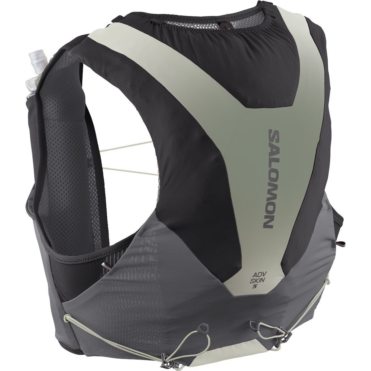

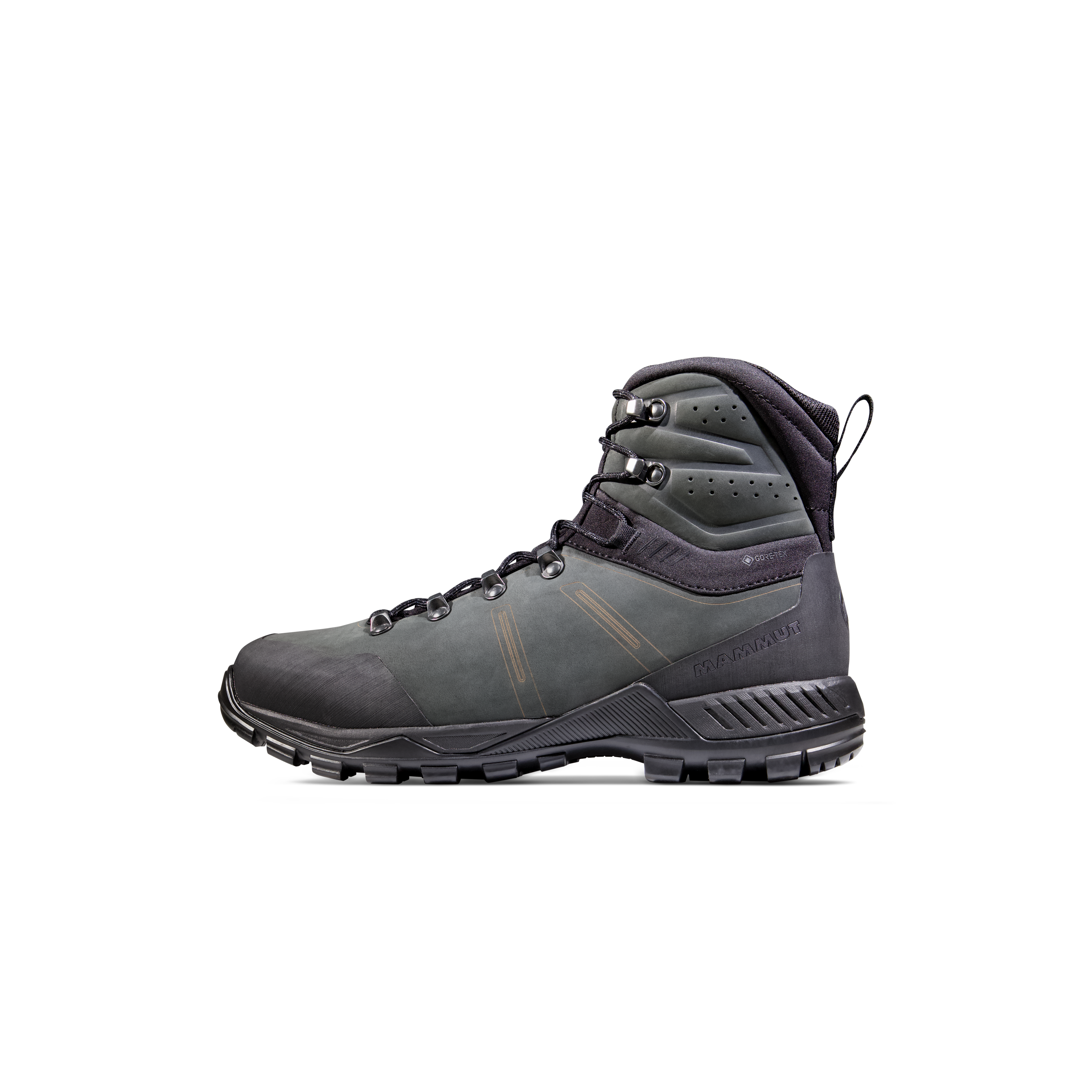
We may earn a commission if you buy through these links, at no extra cost to you. Affiliate disclosure
Affiliate disclosure: Global Summit Guide may earn a commission from qualifying purchases through partner links. It does not change the price you pay.

Lake Manasarovar may be part of your journey, but the kora itself begins from the Darchen side of Kailash.
Photograph: Andy Engelson, CC BY 2.0Mount Kailash Kora map
This map is for regional orientation, not trail navigation. Your licensed guide and current local route controls govern the actual walking line.
OpenStreetMap regional view centered on Mount Kailash. Open full map →
Three views of the sacred landscape.
The walking experience alternates between close mountain views, pilgrims on the pass and high, open plateau terrain.

Dirapuk
The overnight location often places the dramatic north face in view—but clarity, snow and weather determine what you actually see.
Shared pilgrimage landscape
Follow your guide’s instructions on photography, monastery etiquette and trail use when traveling beside religious pilgrims.
Build the trip around the pilgrimage, not the keyword.
Use the broader sacred-mountain and pilgrimage guides for cultural context, then return here for the logistics.
Mount Kailash Kora FAQ
Rules, permit names, border access and trail arrangements can change. Verify time-sensitive details again shortly before departure.
How long is the Mount Kailash Kora?
The standard outer kora is commonly described as about 52 km (32 miles). The distance you personally walk varies because some itineraries use a vehicle between Darchen and Yam Dwar and arrange a pickup near the end of the circuit.
How many days does the Kailash Kora take?
Most organized travelers walk the outer circuit over three trekking days. The complete international journey is substantially longer because travel into western Tibet, permits and acclimatization happen before the kora.
How high is Dolma La Pass?
Most trekking itineraries place Dolma La at approximately 5,630 m (18,471 ft). Maps and operators sometimes quote slightly different figures, so plan for a crossing well above 5,500 m.
Can foreigners complete the kora without a tour?
Independent tourist travel in the Tibet Autonomous Region is restricted. International visitors should confirm the current rules with a licensed Tibet operator and arrange the appropriate travel permits and guided itinerary.
Is there a lottery for Kailash Kora permits?
There is no single universal online lottery for all Kailash travelers. India’s government-run Kailash Manasarovar Yatra uses a computerized selection process for eligible Indian-passport applicants; other international trips generally follow operator-led booking and permit arrangements.
What is the best time to walk the Kailash Kora?
May–June and September–early October are often targeted for trekking, subject to actual snow, weather, local rules and operator departures. Saga Dawa draws pilgrims but is also busier. Verify seasonal access for your chosen year.
Is Kailash Kora a technical climb?
No. The standard outer kora is a walking pilgrimage, not an ascent of Mount Kailash, which is treated as sacred. Its serious challenges are altitude, extended walking days, cold, weather, rough paths and limited evacuation access.
Can a pony take me over Dolma La?
Some itineraries can arrange pony or porter assistance on sections of the kora, but availability and permitted use vary. Do not assume an animal can cover the steepest pass section or that support is guaranteed; confirm the exact limitations in writing.
What happens if altitude symptoms begin?
Tell your guide immediately. Do not continue upward when altitude symptoms are present, and descend urgently with assistance if symptoms worsen or serious symptoms appear. Discuss personal risk and appropriate medication with a clinician before departure.
Can I add Lake Manasarovar to the itinerary?
Often yes. Many guided journeys visit Lake Manasarovar before or after the walking circuit. It is a separate sacred destination and may add road travel and overnight altitude exposure to the overall trip.
Sources to check before you travel
Commercial itineraries are useful for comparing route stages, but official travel and health guidance should anchor decisions that can change.
- U.S. Department of State — Kora Pilgrimage to Mount Kailash (updated June 4, 2026).
- CDC Travelers’ Health — Travel to High Altitudes.
- Government of India, Ministry of External Affairs — Kailash Manasarovar Yatra (2026 program details and selection).
- MEA Kailash Manasarovar Yatra FAQ (eligibility and government-route distinctions).
- Hero: Global Summit Guide licensed Adobe Stock media (Wirestock / Adobe Stock).
- Mount Kailash North View.jpg — Varun Bhoopalam, CC BY-SA 4.0. Photographs are presented uncropped where possible; layout crops may occur.
- Mount Kailash – reurinkjan.jpg — Jan Reurink, CC BY 2.0. Photographs are presented uncropped where possible; layout crops may occur.
- DrolmaLaPilgrims.jpg — Jean-Marie Hullot, CC BY-SA 4.0. Photographs are presented uncropped where possible; layout crops may occur.
- DrolmaLa.jpg — Jean-Marie Hullot, CC BY-SA 4.0. Photographs are presented uncropped where possible; layout crops may occur.
- ManasarovarKailashPrayerFlags.jpg — Jean-Marie Hullot, CC BY-SA 4.0. Photographs are presented uncropped where possible; layout crops may occur.
- Mount Kailash sunset from Manasarovar lake.jpg — Andy Engelson, CC BY 2.0. Photographs are presented uncropped where possible; layout crops may occur.
- Kailás.jpg — Ondřej Žváček, CC BY 2.5. Photographs are presented uncropped where possible; layout crops may occur.