web analytics

Tag: Pakistan

  • Gasherbrum I (Hidden Peak) Expedition Update 2026: The Harder Gasherbrum Twin

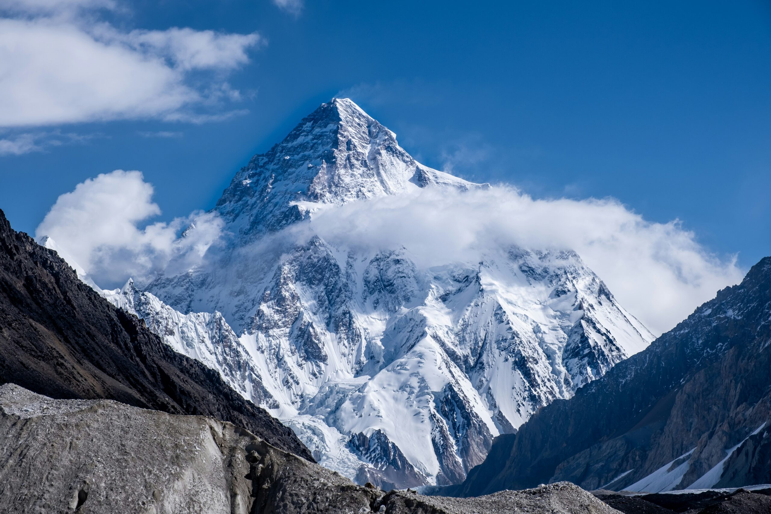
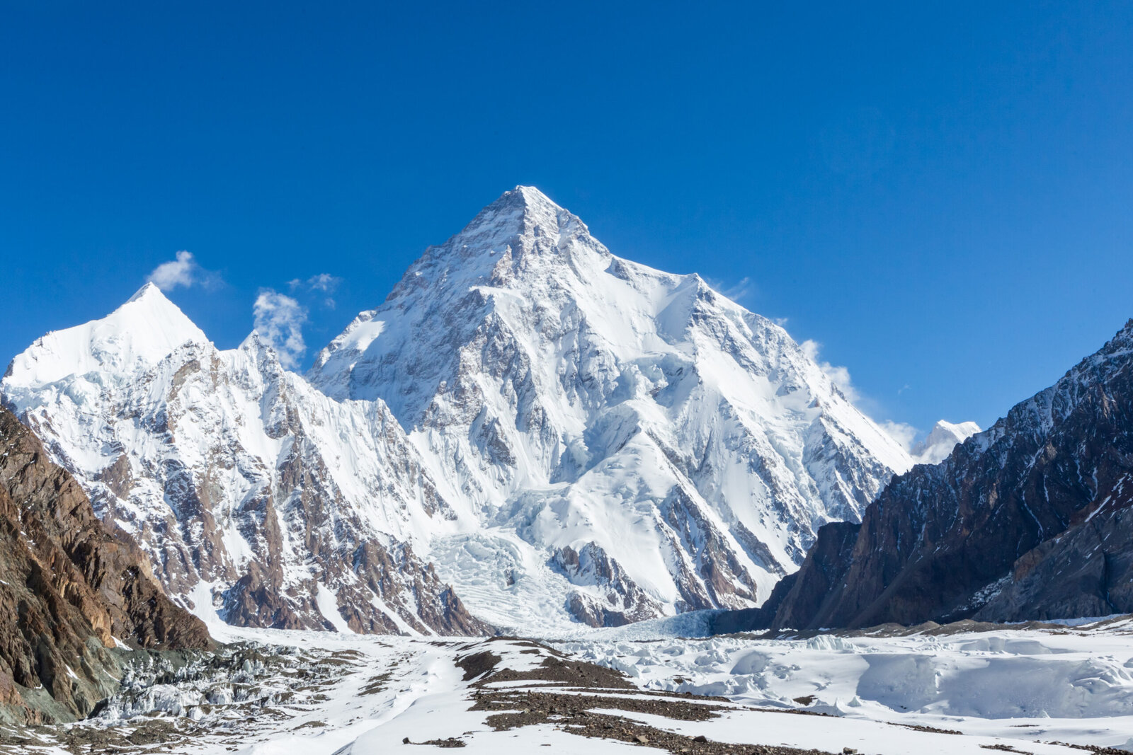
    Gasherbrum I, Hidden Peak, the eleventh-highest mountain in the world, in the Karakoram of Pakistan
    Gasherbrum I is 8,080 m (26,509 ft), the eleventh-highest mountain on earth. Known as Hidden Peak, it is the harder and less-visited of the two Gasherbrum 8000ers.
    Expedition Updates · Karakoram

    Gasherbrum I expedition update

    Hidden Peak, the harder of the Gasherbrum twins. This page tracks why it earned the name, how it compares to Gasherbrum II, the Japanese Couloir route, its honest safety record, the Karakoram summer season, and a go or no-go checklist. A single-mountain page in our Expedition Updates directory. Elevations in metres (feet).

    Current status Karakoram summer 8,080 m (26,509 ft)

    The hidden one, and the harder one.

    Gasherbrum I is the eleventh-highest mountain in the world, tucked so deep in the Karakoram that a British surveyor named it Hidden Peak in 1892. It is the harder of the two Gasherbrum 8000ers, steeper and more technical than its twin Gasherbrum II, and the least-visited of all fourteen 8000-metre peaks.

    It carries history out of proportion to its fame: the only 8000er first climbed by an American team, in 1958, and the site of the first alpine-style ascent of an 8000er, in 1975. For the full route, camps, and cost, see our Gasherbrum I climb guide.

    8,080 m

    Summit (26,509 ft)

    Eleventh-highest in the world; Hidden Peak, or K5.

    Jun to Aug

    Karakoram season

    Summer, the opposite of the Himalayan seasons.

    Least-visited

    Of the 8000ers

    Remote, technical, and for experienced climbers.

    Gasherbrum I stands at the head of the Baltoro Glacier, on the Pakistan and China border, part of a cluster of high peaks that includes its twin Gasherbrum II. It is a serious mountaineer’s objective rather than a commercial trophy, drawing far fewer climbers than K2 or Everest, and rewarding those who make the long journey with solitude as well as difficulty. This page owns the current picture, the twins comparison, and the honest safety record. For the Japanese Couloir route detail, camps, gear, and cost breakdown, see our Gasherbrum I climb guide.

    Season and status

    A Karakoram summer peak.

    Gasherbrum I is climbed from June to August, the Karakoram summer, which is the opposite of the spring and autumn seasons used across the Nepalese Himalaya. Every one of Pakistan’s 8000ers is a summer peak. A full expedition runs 45 to 60 days, taking in the trek, several acclimatization rotations, and a long wait at base camp for a safe summit window. Each year the mountain hosts only a handful of teams, often alongside climbers on its twin, so the status that matters is simply whether a season’s weather opens a window at all.

    Why it is called Hidden Peak

    A name earned by remoteness.

    The British surveyor William Martin Conway gave Gasherbrum I the name Hidden Peak in 1892, because the mountain is set so far back in the range, screened behind Gasherbrum IV and II, that it cannot be seen from the lower Baltoro Glacier where expeditions approach. Its survey label was K5. The word Gasherbrum, often mistranslated as shining wall, actually comes from the Balti rgasha, meaning beautiful, and brum, meaning mountain. Hidden and beautiful is a fair description of a peak most people, even many climbers, would struggle to point to.

    The Gasherbrum twins

    Two 8000ers, one base camp, very different climbs.

    Gasherbrum I against its twin, Gasherbrum II. The two share a base camp and Camp 1.
    AspectGasherbrum IGasherbrum II
    Height8,080 m (26,509 ft), 11th-highest8,035 m (26,362 ft), 13th-highest
    DifficultySteeper and more technicalThe easier, safer twin
    Normal routeThe Japanese Couloir, north-east faceThe south-west ridge
    Typical roleThe harder prizeOften a climber’s first 8000er
    Objective hazardRelatively low, few seracsLow
    Base campShared with Gasherbrum IIShared with Gasherbrum I

    The two Gasherbrum 8000ers sit side by side and share the same base camp, but they are not the same climb. Gasherbrum II is one of the more approachable 8000ers and is often a climber’s first, while Gasherbrum I is steeper, more technical, and the bigger prize. Because they share the lower mountain, many strong climbers attempt both in a single season, a challenge known as the Gasherbrum Double, first achieved as a traverse by Reinhold Messner and Hans Kammerlander in 1984. If you are eyeing GI, its twin is worth understanding too.

    The Japanese Couloir route

    A direct line, but a technical one.

    From the Gasherbrum La to the summit

    The normal route climbs the north-east face via the Japanese Couloir, reached from the Gasherbrum La, the col between GI and GII. It shares base camp and Camp 1 with Gasherbrum II, then works up crevassed glacial slopes to the col before the steeper couloir and face above, with three high camps to reach the summit. It is a direct line to the top, but the couloir and the upper face are genuine technical climbing at extreme altitude. For the full camp-by-camp detail, see our Gasherbrum I climb guide.

    How dangerous it really is

    A low death rate that needs explaining.

    ⚠ Hard, not safe

    Gasherbrum I carries one of the lower fatality records among the 8000ers, which sounds reassuring until you look at why. Part of the reason is that only experienced climbers attempt a peak this technical and this remote, so the pool is self-selected. The other part is that the normal route has relatively few of the objective hazards, such as collapsing seracs, that make neighbours like K2 and Broad Peak so lethal.

    In other words, the statistic reflects who climbs Gasherbrum I and the character of its route, not a forgiving mountain. Crevasses, avalanches, severe storms, extreme cold, and altitude remain ever-present. Treat the low death rate as a fact about the climbers, not an invitation to underestimate the peak. This page is educational and is not a substitute for experience.

    Access, cost and the Baltoro trek

    The great glacier highway, away from the K2 crowds.

    The approach is one of the finest in mountaineering. From Islamabad you fly to Skardu, drive to the village of Askole, then trek six to eight days up the Baltoro Glacier, past Paiju and Urdukas to Concordia, before branching away from the K2 crowds into the quieter Gasherbrum sanctuary and base camp. A guided expedition runs roughly $15,000 to $25,000, less than K2, and the permit sits in Pakistan’s 8000er band below K2, broadly in line with Broad Peak and Gasherbrum II; climbers doing the Gasherbrum Double often arrange a custom combined royalty. Confirm the current figures with your operator, and vet teams with how to choose an operator.

    Weather and timing

    A live look at the Gasherbrum massif.

    Karakoram weather is fierce and fast-moving, and a summit push depends on a settled window in the short summer season. The live map below shows current conditions for the massif; a real attempt relies on expedition forecasting for every move above base camp.

    Live wind and weather for Gasherbrum I. Source: Windy.com. For how to read a mountain forecast, see our weather guide.
    Gasherbrum I, at the head of the Baltoro Glacier on the Pakistan-China border. Map: OpenStreetMap contributors.

    Go or no-go checklist

    Work through these before you commit.

    Before you go

    • Bring 8000er experience – GI expects solid 7,000 m ability and ideally a previous 8000er, not a first trip to extreme altitude.
    • Respect the couloir – the Japanese Couloir and upper face are technical ground high on the mountain.
    • Do not misread the low death rate – it reflects who climbs it, not a safe peak; the hazards are real.
    • Consider the Double – if strong, pairing GII from the shared base camp is efficient, but plan the royalty and time.
    • Plan the long trek – six to eight days up the Baltoro before the climb, and 45 to 60 days total.
    • Carry proper cover – helicopter evacuation and high-altitude rescue insurance are essential in this remote range.

    Gasherbrum I update FAQ

    The questions climbers ask most about the name, the twins, and the difficulty.

    Why is Gasherbrum I called Hidden Peak?

    The British surveyor William Martin Conway gave it the name in 1892 because the mountain is tucked deep in the Karakoram, hidden behind Gasherbrum IV and II and not visible from the lower Baltoro Glacier. Its survey designation was K5. The name Gasherbrum itself comes from the Balti words rgasha, meaning beautiful, and brum, meaning mountain, so it means beautiful mountain, not shining wall as is often wrongly claimed.

    How does Gasherbrum I compare to Gasherbrum II?

    They are twins that share a base camp, but Gasherbrum I is the harder of the two. Gasherbrum II, at 8,035 m, is regarded as one of the easier and safer 8000ers and is often a climber’s first, taken on the south-west ridge. Gasherbrum I, at 8,080 m, is steeper and more technical, the bigger prize of the pair. Many strong climbers attempt both in a single season from the shared base camp, a challenge known as the Gasherbrum Double.

    What is the normal route on Gasherbrum I?

    Most climbers take the Japanese Couloir on the north-east face, reached from the Gasherbrum La, the col that separates Gasherbrum I and II. The route shares base camp and Camp 1 with Gasherbrum II, then climbs crevassed glacial slopes up to the col before the steeper couloir and face above, with three high camps used to reach the summit. It is a direct line, but a technical one at extreme altitude.

    How dangerous is Gasherbrum I?

    It is technically demanding and remote, yet it carries one of the lower fatality records among the 8000ers, and the reason matters. Part of it is that only experienced climbers attempt a peak this hard and this far from help, and part of it is that the normal route has relatively few objective hazards such as seracs. So the low death rate reflects who climbs it and the character of the route, not that the mountain is forgiving. It is hard, not safe.

    When is the Gasherbrum I climbing season?

    June to August, the Karakoram summer, which is the opposite of the spring and autumn seasons used in the Nepalese Himalaya. All of Pakistan’s 8000ers are summer peaks. A full expedition usually runs 45 to 60 days including the trek in, acclimatization rotations, and waiting at base camp for a safe summit window, so it is a long commitment as well as a hard one.

    What experience do you need for Gasherbrum I?

    Prior high-altitude experience is essential: solid ability on 7,000 m peaks and ideally a previous 8000er. Gasherbrum I is an advanced expedition peak, not a first 8000er, and its steeper, more technical ground at extreme altitude is unforgiving of climbers who arrive underprepared. It is often climbed by mountaineers working through the fourteen 8000ers rather than by those new to the death zone.

    How do you get there, and what does it cost?

    From Islamabad you fly to Skardu, drive to the village of Askole, then trek six to eight days up the Baltoro Glacier past Concordia to base camp, branching away from the K2 crowds into the quieter Gasherbrum sanctuary. A guided expedition runs roughly $15,000 to $25,000, less than K2, and the Gasherbrum Double with GII is a popular value option, often arranged with a custom combined royalty.

    How high is Gasherbrum I and where is it?

    Gasherbrum I is 8,080 m (26,509 ft), the 11th-highest mountain in the world and the second-highest in the Karakoram after K2, on the Pakistan-China border at the head of the Baltoro Glacier. It was first climbed in 1958 by an American team, the only 8000er with an American first ascent, and in 1975 it became the first 8000er climbed in pure alpine style, by Reinhold Messner and Peter Habeler.

    📋 How this update is built

    This page is compiled by Travis Ludlow, Founder and Head of Research at Global Summit Guide, from Pakistan Ministry of Tourism permit rules, route guides for the Japanese Couloir, and operator-published expedition records, with sources named below. It was reviewed for safety by Dawson Ludlow, our Climbing and Mountaineering Lead (Wilderness First Aid), whose highest first-hand summit is Kilimanjaro.

    Our team has not climbed Gasherbrum I, so we report official rules and expedition records rather than personal experience, and we review this page before each Karakoram season. Permit fees and rules change, so confirm the current royalty and requirements with your operator and the Ministry of Tourism before planning around them.

    Planning a Gasherbrum expedition?

    Start with our Gasherbrum I climb guide for the full route and cost, compare the giant next door in our K2 climb guide and K2 update, and follow the range live in the K2 2026 season tracker. Every expedition stages through Islamabad and Skardu, so for flights and hotels, browse travel on Expedia.

    Disclosure: the Expedia link above is a sponsored affiliate link. We may earn a commission at no extra cost to you.

    Was this helpful?

    Yes
    No
    Thanks for your feedback!
  • K2 Climbing Season: Late-July Window, Permits & Access

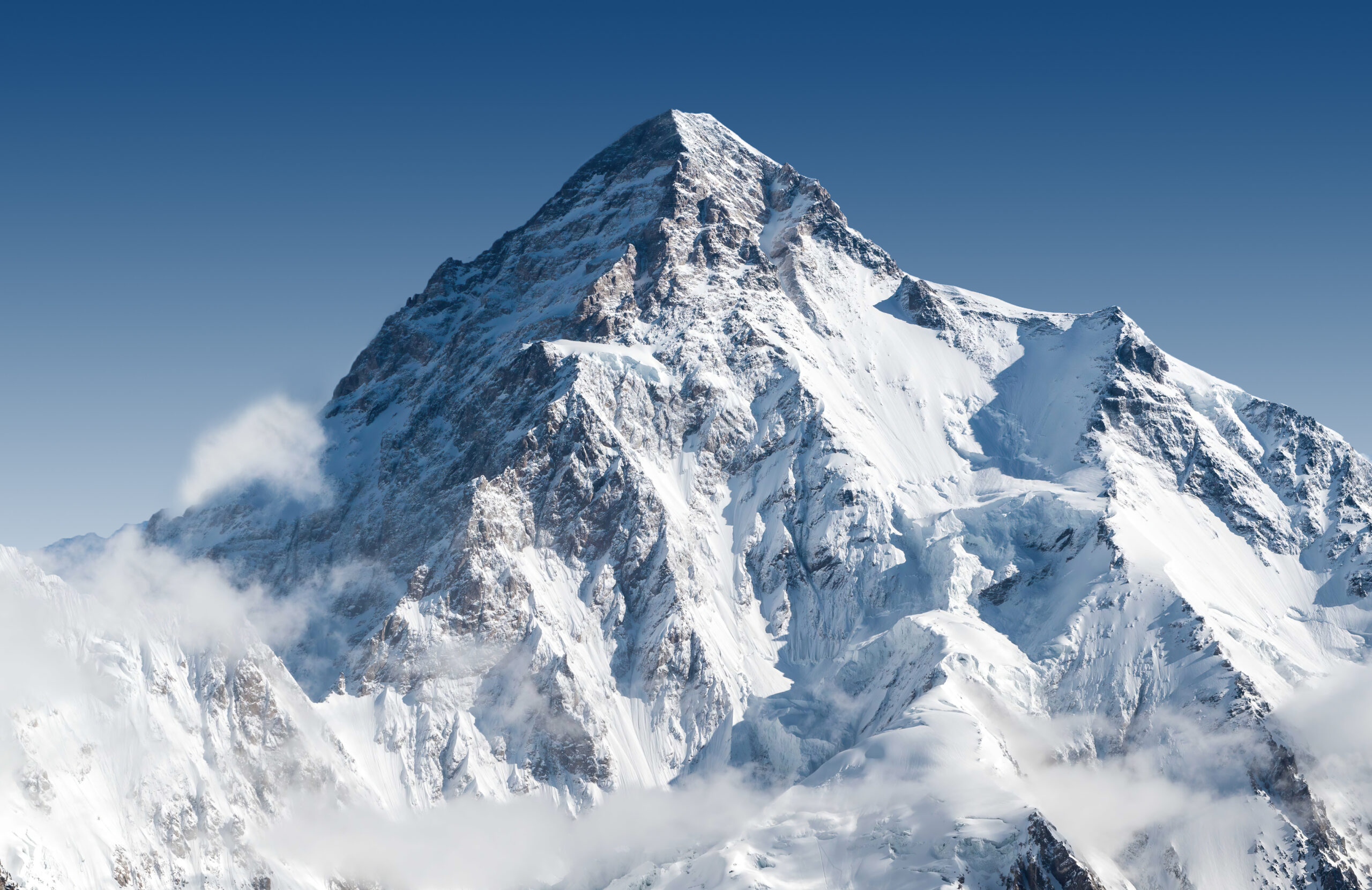
    K2 in Pakistan during the Karakoram summer climbing season
    K2 · 8,611 m · Karakoram summer · permits · access · route fixing

    K2 Climbing Season: Summit Window, Permits, Access & Route Readiness

    K2’s practical expedition season runs from late June through August, but the strongest summit period is usually much shorter—often a few days in late July or early August. Reaching that window requires more than favorable weather: the permit must be approved, the Baltoro approach completed, camps and fixed lines established, climbers acclimatized, and the route ready for both ascent and descent.

    Official GB permit source checked Current K2 royalty schedule cited Weather guide kept separate Live tracker linked for current events

    Reviewed August 16, 2026 · Gilgit-Baltistan Tourism Department + current expedition planning sources · Verify permit paperwork before payment

    Jun–AugPractical expedition season
    Late JulCentral summit period
    $12,000Published K2 royalty · up to 7*
    +$3,000Each additional member*
    8,611 mK2 summit
    By Travis Ludlow · Founder & Head of Research · Safety review: Dawson Ludlow
    *Current published Gilgit-Baltistan schedule; confirm the invoice and expedition-specific fees through your registered Pakistani operator
    The direct answer

    When is the K2 climbing season?

    The normal expedition cycle begins in late June, when teams travel through Skardu and Askole, trek the Baltoro, establish Base Camp and begin route work. July is the core acclimatization and fixing month. The strongest summit opportunity commonly falls in late July, sometimes extending into early August.

    August is not automatically “too late,” but the value of a second window depends on whether the route remains established, camps and oxygen are intact, the team is healthy, and forecasts still offer enough margin for a complete summit-and-descent cycle.

    For temperature, wind, snowfall, monsoon influence and forecast interpretation, use the K2 Weather Guide.

    • Late June: approach and Base Camp establishment.
    • Early July: lower rotations and fixing.
    • Mid July: upper rotations, camps and recovery.
    • Late July: central summit-window period.
    • Early August: possible second opportunity.
    • Afterward: descent can be the correct decision even after weeks of investment.
    The season is a sequence, not a date

    K2 Expedition Calendar

    A commercial expedition may last seven or eight weeks even though the mountain offers only a short final opportunity.

    Late JuneApproach

    Skardu logistics, Askole roadhead, Baltoro trek, Base Camp setup and early route assessment.

    Early JulyLower rotations

    Camp 1/2 movement, acclimatization, load carries and lower-route fixing.

    Mid JulyUpper readiness

    Higher rotations, Camp 3 work, Black Pyramid progress, oxygen/camp staging and recovery.

    Late Jul–Early AugSummit period

    The best chance comes when a usable forecast overlaps with fixed ropes, stocked camps and rested climbers.

    PhaseMain workPrimary uncertainty
    ApproachTravel, permits, roadhead, Baltoro trekFlights, roads, bridges, porter logistics
    Lower rotationsCamps 1–2, rope work, acclimatizationRockfall, snow, heat cycles, illness
    Upper rotationsCamp 3, Black Pyramid, high-altitude recoveryWind, new snow, fixing delays, fatigue
    Summit stagingCamp 4, oxygen, team selection, forecastWindow duration, congestion, cache integrity
    Summit/descentBottleneck, summit, return through technical routeWind trend, turnaround time, queues, oxygen
    A summit opportunity is an intersection

    Five Things Must Align at the Same Time

    Good weather alone does not make K2 ready for a summit push.

    1 · Weather

    Upper wind, snowfall and visibility must provide enough margin for the complete high-altitude cycle.

    2 · Route

    Fixed lines and camps must reach high enough for the team to use the forecast window.

    3 · Team

    Climbers must be acclimatized, healthy and recovered from their final rotations.

    4 · Logistics

    Oxygen, tents, fuel, stoves and caches have to be in place and functioning.

    5 · Descent

    The forecast has to protect the return through the Bottleneck, Black Pyramid and lower ridge.

    Human judgment

    Weeks of waiting create deadline pressure; a disciplined team still has to walk away from a marginal day.

    K2 upper mountain and Abruzzi Spur during the Karakoram climbing season
    The forecast does not climb the route

    Weather, fixing, camps and team readiness must peak together.

    A calm spell can be unusable if snow has buried the route, ropes stop below the Bottleneck, Camp 4 is damaged or the team has not recovered from its final acclimatization rotation.

    Conditions change by thousands of vertical meters

    What “K2 Conditions” Means From Askole to the Summit

    The expedition can lose margin long before a climber reaches the Abruzzi Spur.

    ZoneCondition questionsWhy it matters
    Skardu / AskoleFlights, road status, bridges, landslides, vehiclesDelays consume acclimatization and recovery days.
    Baltoro approachHeat, precipitation, glacial streams, porter movementTeams can arrive at Base Camp already depleted.
    K2 Base CampRest, illness, snow/rain, communicationsRecovery quality determines readiness for rotations.
    Lower AbruzziRockfall, snow cover, fixed-line conditionEarly delays can stall the entire route-building schedule.
    Black PyramidMixed conditions, rope integrity, congestionTechnical climbing slows traffic and increases oxygen/cold exposure.
    Shoulder / Camp 4Wind, snow loading, tent and oxygen-cache conditionSummit plans often unravel here before the Bottleneck.
    Bottleneck / summitSerac exposure, queues, wind, temperature, turnaround timeThe descent through the same terrain remains part of the summit decision.

    For the atmospheric side of these conditions, see K2 Weather by Month.

    Current official Gilgit-Baltistan schedule

    K2 Permit Royalty & Expedition Rules

    Use the current government-published schedule as the starting point, then have your registered Pakistani operator confirm the full invoice.

    Official published itemCurrent GB schedule
    K2 royalty · party up to 7 membersUS$12,000
    Each additional member above 7US$3,000
    Maximum party size under published K2 terms15 members
    Peak coverageOne permit is issued for one peak
    Registered company relationshipRequired for expeditions under current GB guidance
    Insurance documentationRequired before permit issuance for local high-altitude workers under current policy
    Budget beyond the headline royalty. The official permit process also involves environmental/waste fees, insurance and operator administration. Ask for a written breakdown showing which government fees, deposits, liaison/administrative costs and operator charges are included.

    For a detailed cost and paperwork breakdown, use the K2 Permits & Fees Guide.

    Start paperwork well before expedition month

    What the Permit Application Requires

    Gilgit-Baltistan Tourism publishes an online application process handled through the expedition’s registered tour company.

    Core application documents listed by the Tourism Department

    The official FAQ lists an online mountaineering/trekking application followed by royalty/environment payments and insurance documentation. The operator submits the expedition material and coordinates the government process.

    • Application from the tour operator on company letterhead.
    • Route map of the proposed peak or trek.
    • Passport copies for expedition members.
    • Completed visa application information for foreign trekkers/climbers.
    • Occupation details for trekking/expedition members.
    • Copy of the licensed tour operator’s documentation.
    • Royalty / trekking fee receipt as applicable.
    • Waste-management / environmental fee receipt as applicable.
    • Insurance documentation required by current policy.

    Do not plan around a bare minimum deadline.

    Visa processing, expedition paperwork, fee transfers and corrections can consume time. Ask your operator for a dated document checklist and submission schedule months before travel rather than waiting until the Karakoram season begins.

    K2 partly obscured by cloud above the Baltoro approach route
    The approach is part of the season

    K2 has no road to Base Camp.

    International arrival, Skardu logistics, Askole road access and the multi-day Baltoro trek all happen before the first acclimatization rotation. A delay in that chain can consume the margin needed for the summit period.

    Build schedule slack before Base Camp

    Skardu, Askole & Baltoro Access

    The strongest itinerary is not the one that reaches K2 fastest; it is the one that absorbs delays without stealing recovery days.

    Islamabad → Skardu

    Domestic flights are valuable but weather-sensitive. Operators commonly plan road contingencies when schedules matter.

    Skardu → Askole

    Road and bridge conditions in the Shigar/Braldu corridor can change after rain, landslides or infrastructure damage.

    Askole → Base Camp

    The Baltoro trek is a real high-altitude approach through Paiju, Urdukas, Goro and Concordia before the Godwin-Austen Glacier and K2 Base Camp.

    Confirm access close to departure. Ask your operator about current Skardu transport, Askole roadhead, bridges, porter logistics and any administrative briefing that must be completed before the team moves into the Baltoro.
    A usable forecast can arrive too early

    Route Fixing, Shared Lines & Congestion

    K2’s commercial season depends on the route being established quickly enough to use the atmospheric window.

    SectionWhy fixing mattersSeason consequence
    Lower AbruzziEarly ropes establish camp movement and acclimatization flowDelay here pushes every later rotation back.
    House’s ChimneyTechnical bottleneck on the lower routeSlow fixing creates queues before the high mountain.
    Black PyramidSustained technical terrainA major schedule gate for Camp 3 access.
    Shoulder / Camp 4High camps and oxygen must be establishedForecast opportunity is useless without summit staging.
    Bottleneck / TraverseFinal lines control traffic through the key upper hazardLate fixing can compress many teams into the same window.

    Study the terrain in the K2 Routes Guide.

    No summit attempt can be the right outcome

    Seven Ways a K2 Season Can Fail

    Permit approval and weeks at Base Camp do not create an obligation to attempt the summit.

    Access delays

    Flights, roads, bridges or porter logistics consume days before Base Camp.

    Persistent upper wind

    No forecast provides enough calm time for the summit and descent.

    Fresh snow

    A storm leaves unacceptable loading, buried lines or slow trail-breaking.

    Fixing stalls

    The route is not established when the best forecast appears.

    Illness or injury

    Climbers or staff are unable to recover enough for the summit cycle.

    Camp / oxygen failure

    Damaged tents, stoves, caches or cylinders reduce the margin above Camp 3.

    The seventh failure mode is deadline pressure.

    The longer a team waits, the easier it is to reinterpret a marginal forecast as “good enough.” Strong expedition leadership treats sunk cost as irrelevant when conditions no longer support a defensible attempt.

    For dated expedition developments

    Where to Follow the Current K2 Season

    Season patterns are stable; rope fixing, summit pushes and team movements change day by day.

    Use the live season tracker for temporary developments.

    The K2 2026 Season Tracker is the better place for dated information such as team arrivals, current fixing progress, active delays and summit pushes. This guide is designed for the planning framework that remains useful from one season to the next.

    • Current teams at Base Camp.
    • Latest fixing progress.
    • Active summit-window reports.
    • Season incidents and major changes.
    • Temporary access or weather disruptions.
    Useful next steps

    Turn the Season Calendar Into an Expedition Plan

    Two planning decisions matter immediately after choosing the season: the route system and the operator.

    Terrain & fixing

    K2 Routes Guide

    Understand where ropes, camps and congestion shape the timing of a commercial summit push.

    Open Routes →
    Execution

    K2 Operators

    Compare who controls fixing, oxygen, staffing, turnaround authority, rescue planning and permit administration.

    Compare Operators →
    Direct planning answers

    K2 Climbing Season FAQ

    The most common questions involve timing, permits, access and whether the route is ready when the forecast appears.

    What is the K2 climbing season?

    The practical commercial expedition season is late June through August. Most teams spend July acclimatizing and establishing the route, with the strongest summit opportunity usually in late July or early August.

    What is the best month to climb K2?

    July is the central month. Late July is especially important because route fixing, acclimatization and summer weather can finally align. For atmospheric detail, see the separate K2 Weather Guide.

    Can K2 be climbed in August?

    Yes. Early August can provide a second opportunity if the route remains established, the team is healthy and a defensible weather window appears. It should not be treated as guaranteed.

    How much is the K2 climbing royalty?

    Gilgit-Baltistan Tourism currently publishes a K2 royalty of US$12,000 for a party of up to seven members, plus US$3,000 for each additional member. Confirm the full expedition invoice and any additional fees through the registered Pakistani operator.

    Can foreign climbers apply independently?

    Gilgit-Baltistan Tourism states that expeditions must have proper permits and be associated with a registered tour company. Foreign expeditions normally use a licensed Pakistani operator to administer the process.

    Does a K2 permit cover Broad Peak too?

    No assumption should be made that one permit covers both. The current published terms state that a permit is issued for one peak, with another permit required for another peak.

    How early should I start the permit process?

    Start months before travel. The official process requires operator documentation, member information, route material, fees and insurance; visa and administrative timelines can add delays.

    What if the best weather arrives before ropes reach the summit?

    The forecast may be unusable. On K2, weather, route fixing, high camps, oxygen caches and team readiness all have to align before a commercial summit cycle can begin.

    Where can I follow current K2 conditions?

    Use the K2 2026 Season Tracker for dated team arrivals, rope-fixing progress, active delays and summit-window reporting.

    Sources & methodology

    How Global Summit Guide Evaluates the K2 Season

    Government permit rules, stable expedition timing and live field developments are treated as different types of information.

    What changes during the season

    • Skardu and Askole access.
    • Baltoro approach condition.
    • Rope-fixing progress and camp locations.
    • Upper-mountain snow loading and wind.
    • Operator staffing and oxygen caches.
    • Whether the team is healthy enough to use a forecast window.

    Verify before payment and again before departure.

    Government schedules can change, and expedition access is affected by weather, roads and administrative processes. Get the final royalty, fees, paperwork status and access plan in writing from the operator handling your expedition.

    The calendar gets you to K2. Readiness gets you to the window.

    Plan for Late July—But Build Enough Margin to Wait or Walk Away.

    A strong K2 expedition reaches Base Camp early enough to absorb delays, completes acclimatization without exhausting the team, establishes the route before the forecast appears and treats the summit period as an opportunity rather than a deadline.

    The 14 Eight-Thousanders · Karakoram

    K2 Season & Conditions, in Full Context

    Windows and permits are one piece of a K2 attempt. See the full guide, the live tracker and K2’s risk profile below.

    Was this helpful?

    Yes
    No
    Thanks for your feedback!
  • K2 2026 Season Tracker: No Summits as Season Ends

    K2 rising above the Karakoram in Pakistan
    Season final · Karakoram summer 2026 · historical archive

    K2 2026 Season Tracker: No Summits as Karakoram Season Ends

    K2’s 2026 summer season closed without a successful summit. High winds, fresh snow, unstable conditions, rockfall and slow upper-route progress repeatedly narrowed the usable window. A final late-July push was underway when the July 30 Broad Peak avalanche killed 10 climbers; K2 teams abandoned their summit plans and redirected people and resources toward the response.

    Final season outcome confirmedRoute progress dated by sourceBroad Peak deaths kept separate from K2Historical archive, not a live forecast

    Published July 11, 2026 · Final record reviewed September 4, 2026

    0Successful K2 summer summits
    ~50Attempt estimate*
    ~7,000 mRopes reported Jul 24
    Jul 30Broad Peak turning point
    Closed2026 summer season
    By Travis Ludlow · Global Summit Guide Research
    *~50 climbers is Alan Arnette’s season estimate, not an official permit count
    The final answer

    K2 went unsummited in summer 2026.

    By August 16, Gilgit-Baltistan reporting said the Karakoram summer climbing season had closed and that no climber had summited K2 or Gasherbrum I. Alan Arnette’s August 22 season wrap reached the same conclusion and estimated roughly 50 K2 attempts during an unusually quiet commercial season.

    The zero does not describe one failed day. K2’s summit chance was progressively compressed by upper-mountain wind, repeated weather delays, fresh snow, unstable conditions, rockfall and slow route development. When a late push finally formed near the end of July, the Broad Peak disaster changed the priorities of the climbers still high in the Baltoro.

    • Final outcome: no successful K2 summer summit.
    • Primary line: Abruzzi Spur on the Pakistan side.
    • Late route progress: ropes around 7,000 m by July 24.
    • Summit plan: late-July push, then delayed toward Aug. 1.
    • Decisive human event: July 30 Broad Peak avalanche and rescue/recovery response.
    • Page status: final 2026 season archive.
    Broad Peak context: the July 30 avalanche happened on Broad Peak, not K2. Ten climbers died. Their deaths must not be added to K2 fatality statistics. The event belongs in this K2 season record only because teams on K2 abandoned summit efforts and assisted the response.
    The season in sequence

    How K2 2026 moved from rotations to a closed season

    Filter the timeline to isolate route development, weather delays or the emergency response. Dates reflect contemporary reports rather than reconstructed hindsight.

    Early July

    A small K2 season settles into Base Camp

    Commercial groups and Pakistani guides established themselves on the Abruzzi Spur in a quieter-than-normal season. Specialist reporting described far fewer large international teams than in recent years, with much of the commercial presence led by Nepali and Pakistani operators.

    Route
    Jul 11–16

    Lower rotations continue; fixed lines reach Camp 2

    Teams continued acclimatization while weather held back faster progress. By July 16, reporting placed the fixed line at Camp 2 and described plans to extend toward Camp 3 when conditions allowed.

    Route + weather
    Jul 17

    Fixing moves above Camp 2

    Imagine Nepal reported a rope-fixing team moving from Camp 2 toward the ice section below Camp 3. That was progress, but it still left the upper mountain to be completed before a commercial summit cycle could function.

    Route
    Jul 24

    High winds stall the mountain near 7,000 metres

    Alan Arnette reported ropes fixed to roughly 7,000 m, with another 2,000 m of rope cached at Camp 3. Around 50 climbers were estimated to be waiting for wind to ease. The season was approaching its normal summit period without a finished upper route.

    Weather + route
    Jul 27

    A better forecast triggers the late summit push

    ExplorersWeb reported a surprise move upward after a more optimistic forecast. July 31 was identified as the hoped-for summit date across K2, Broad Peak and Gasherbrum I.

    Weather + route
    Jul 29–30

    The forecast deteriorates again

    Strong wind and poor weather forced another delay. ExplorersWeb shifted the earliest expected K2 summit to August 1, while Everest Chronicle reported the K2 team held at Camp 2 because of wind.

    Weather
    Jul 30

    The Broad Peak avalanche changes the entire Baltoro

    An avalanche struck a 10-person team on neighboring Broad Peak. Search and rescue began, then transitioned toward recovery as the scale of the disaster became clear.

    Response
    Jul 31

    K2 summit pushes are abandoned

    ExplorersWeb reported that most K2 teams had called off their summit efforts to help on Broad Peak. Later reporting said the remaining K2 team had been at Camp 3 when it learned of the avalanche and descended to assist.

    Response + route
    Aug 16

    Gilgit-Baltistan’s summer season is reported closed

    Dawn reported that climbers had returned from the eight-thousanders and that no one had summited K2 or Gasherbrum I during the summer.

    Final status
    Aug 22

    The season wrap confirms the zero-summit result

    Alan Arnette’s final Karakoram review recorded K2 as unsummited, described the season as unusually quiet and again highlighted rockfall, high winds and heavy snow.

    Final status
    Final season ledger

    The numbers that can be stated cleanly

    The best season archive separates confirmed results from estimates and avoids turning incomplete expedition reporting into fake precision.

    0

    Successful summits

    Confirmed final summer result for K2 in 2026.

    ~50

    People attempting

    Specialist estimate from Alan Arnette’s reporting, not an official government permit count.

    ~7,000 m

    Rope progress

    Reported July 24, with additional rope cached at Camp 3 for the upper route.

    10

    Broad Peak deaths

    Separate neighboring-mountain tragedy that directly ended remaining K2 summit plans; not K2 fatalities.

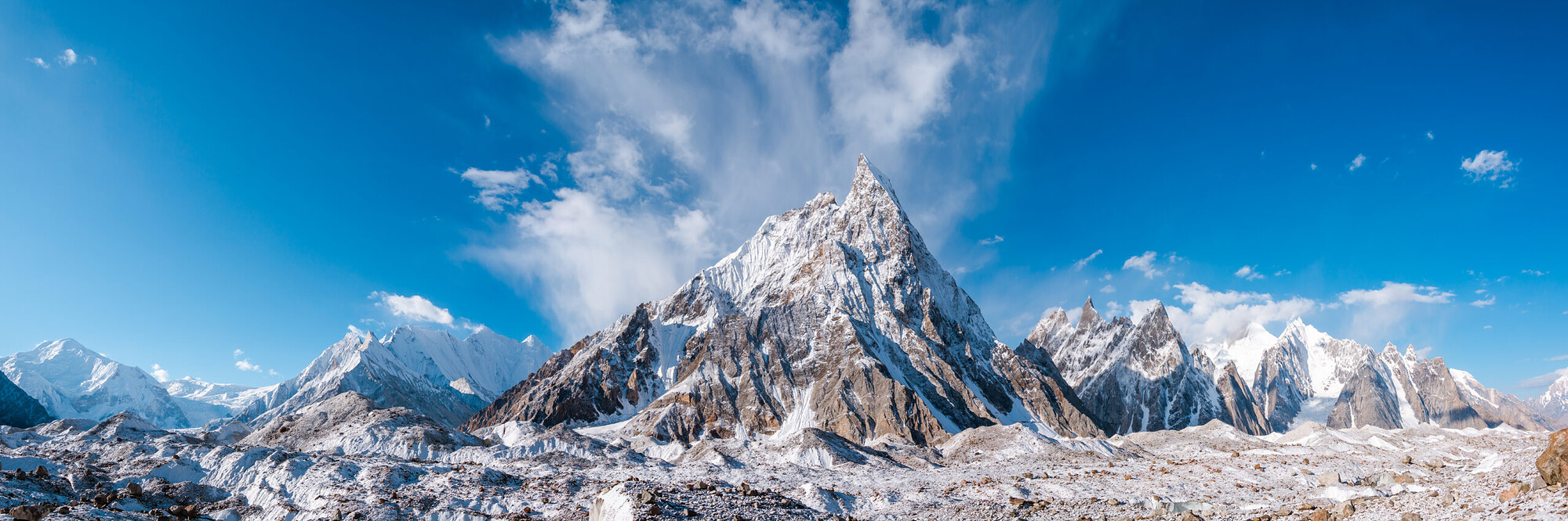
    K2 and the surrounding Karakoram terrain
    K2 can have teams on the mountain, fixed ropes moving upward and a forecast window forming—and still finish without a summit. The 2026 season is a useful example of how many conditions must align at once.
    Why no K2 summit?

    There was no single failure point

    The more accurate explanation is cumulative. Each delay reduced the remaining margin until the final summit push was overtaken by a larger emergency.

    1

    Upper-mountain wind

    High winds repeatedly stalled progress in July. A tolerable Base Camp day can still be unusable on the Black Pyramid, Shoulder, Bottleneck and summit ridge.

    2

    Fresh and unstable snow

    Heavy snowfall and unstable snow were part of the wider Karakoram story. New loading does more than slow trail-breaking; it can change the acceptable hazard level on steep terrain.

    3

    Rockfall

    Season reporting repeatedly mentioned rockfall. On K2, a prolonged wait can expose teams to objective hazards even before a summit push is underway.

    4

    Slow upper-route development

    With ropes only around 7,000 m on July 24, the upper route still needed work as the calendar moved into K2’s central summit period.

    5

    A late summit commitment

    The serious summit push did not begin until July 27. When the forecast deteriorated again, the hoped-for July 31 summit was pushed toward August 1.

    6

    The Broad Peak emergency

    The July 30 avalanche changed the purpose of the climbers still in the area. K2 teams abandoned summit efforts and shifted toward the response on Broad Peak.

    Zero summits does not mean zero climbing

    The mountain was active for weeks before the result became final

    A season result compresses dozens of days into one number. K2 had real route work, rotations, high-camp movement and a late summit push even though no one reached 8,611 metres.

    Rotations

    Teams spent July building acclimatization

    Climbers moved between Base Camp and the lower Abruzzi Spur while the fixed-line system developed. That work matters because a summit bid cannot simply begin when a favorable forecast appears; the climber has to be physiologically and logistically ready before the window opens.

    Fixing

    The route kept advancing despite delays

    Camp 2 was established by mid-July, fixing moved toward Camp 3, and by July 24 ropes were reported around 7,000 m. The absence of a summit was therefore not an absence of effort. The problem was that route readiness and weather never aligned with enough remaining calendar.

    Final push

    Teams did commit upward

    The July 27 forecast change triggered a genuine summit push. When the weather worsened, the target shifted from July 31 toward August 1. The push then ended for a different reason: the Broad Peak emergency required the same small high-altitude community to turn its attention elsewhere.

    About “attempts”: the roughly 50-person figure used in season reporting is an estimate of people attempting K2, not a standardized government denominator. Some climbers may have been on different rotations or may never have reached the same high point. That is why this archive does not calculate a 2026 “success rate” as though the denominator were exact.
    The summit-window chain

    Seven things had to align. In 2026, they never all aligned at once.

    K2 is often discussed as though the forecast alone decides the season. The actual summit system is a chain: a failure in any one link can consume the window.

    1 · Route

    Fixed lines

    The upper route has to be established far enough for teams to move efficiently and descend on the same system.

    2 · People

    Acclimatization

    Climbers need enough prior rotations and recovery to use a short forecast break rather than beginning their preparation after it appears.

    3 · Atmosphere

    Wind

    Upper-mountain wind can block progress even when lower camps are sunny and the forecast looks superficially favorable.

    4 · Surface

    Snow stability

    Fresh loading, deep snow and avalanche conditions can make a nominal weather window unusable or slow movement enough to erase it.

    5 · Camps

    High-camp system

    Tents, caches, oxygen and staff positions have to be intact and placed for the summit cycle being attempted.

    6 · Time

    Descent margin

    A summit-day forecast is not enough. Teams need a complete ascent-and-descent window with enough reserve for delays above 8,000 m.

    7 · Human priorities

    Emergency response

    Mountaineering plans can be superseded by a rescue or recovery need. That is exactly what happened after the Broad Peak avalanche.

    2026 result

    The chain never closed

    By the time route, acclimatization and a possible forecast began to converge, weather remained marginal and the season was late. Then the Broad Peak disaster ended the remaining summit logic.

    What modern support can—and cannot—solve

    Commercial infrastructure helped K2 teams operate. It could not manufacture the missing margin.

    The 2026 season is particularly useful because it shows the limits of systems that are sometimes mistaken for guarantees.

    Expedition systemWhat it can improveWhat it cannot guarantee
    Fixed ropesMovement efficiency, route standardization and protection on known sections.Stable snow, acceptable rockfall exposure or a complete upper route before the weather window closes.
    Supplemental oxygenPhysiological margin for climbers using it and potentially faster movement at extreme altitude.A safe route, low wind, viable snow or an acceptable descent window.
    ForecastingBetter timing and recognition of broad atmospheric patterns.Exact summit conditions, local snow stability or perfect agreement between forecast models and the mountain.
    High-altitude staffRoute work, load carries, camp establishment and critical experience.Removal of objective hazards or unlimited capacity when the same staff are needed for rescue elsewhere.
    Satellite communicationsWeather updates, team coordination and emergency contact when systems work.Continuous connectivity. Pakistan’s mountain communications are less consistent than on Everest, and field updates can arrive late.
    Long expedition scheduleMore acclimatization and more chances to wait for a usable period.An unlimited season. Route work, permits, staff commitments, weather and the calendar eventually create a hard end.

    The point is not that commercial support “failed” in 2026. The point is that support reduces some problems while leaving the mountain’s atmosphere, snowpack, rockfall and human emergencies outside anyone’s control.

    K2 in Pakistan's Karakoram
    The 2026 lesson

    A weather window is not automatically a summit window.

    A usable K2 summit window exists only when forecast, fixed lines, snow stability, team acclimatization, high camps, support, descent margin and human priorities all line up at once. In 2026, that complete combination never arrived.

    Route progress

    How far did the 2026 K2 route develop?

    This is route chronology, not a climbing tutorial. Elevations are approximate season reports and should not be treated as permanent route coordinates.

    Season pointReported progressWhy it mattered
    Early JulyTeams established Base Camp and began Abruzzi Spur rotations.The season was still in normal lower-mountain acclimatization.
    July 11–16Fixed line reported around Camp 2.Upper-route preparation remained behind the eventual summit phase.
    July 17Fixing teams moved from Camp 2 toward the ice section below Camp 3.Progress continued, but the upper mountain was not yet ready for a full commercial summit cycle.
    July 24Ropes reported around 7,000 m; roughly 2,000 m of rope cached at Camp 3.Teams had the material to continue once wind eased, but substantial upper work remained.
    July 27–30Summit push began; weather forced delays. Some teams reached high camps.The season finally entered its decisive summit cycle.
    July 31 onwardK2 summit efforts abandoned as climbers assisted the Broad Peak response.No second complete summit cycle followed before the summer season closed.
    Need the actual route? Use the Abruzzi Spur vs Cesen comparison for route choice and the complete K2 guide for the full expedition system.
    The decisive human event

    How the Broad Peak tragedy affected K2

    Broad Peak and K2 are separate mountains, but the expedition communities share the Baltoro, guides, workers, communications, rescue capacity and personal relationships.

    July 30

    The avalanche

    An avalanche struck a 10-person international team on Broad Peak during its summit push. Later reporting confirmed that all 10 climbers died. Searchers faced difficult terrain, weather and recovery logistics.

    This article does not reconstruct the avalanche or assign fault. That would require a separate evidence base and is not necessary to explain K2’s season.

    July 31

    The K2 response

    ExplorersWeb reported that most K2 teams aborted summit pushes to help. Later accounts from climbers and season summaries described K2 guides descending and joining the Broad Peak search and recovery effort.

    At that point, the K2 story changed from “Will the forecast produce a summit?” to “How can the climbing community respond to the disaster next door?”

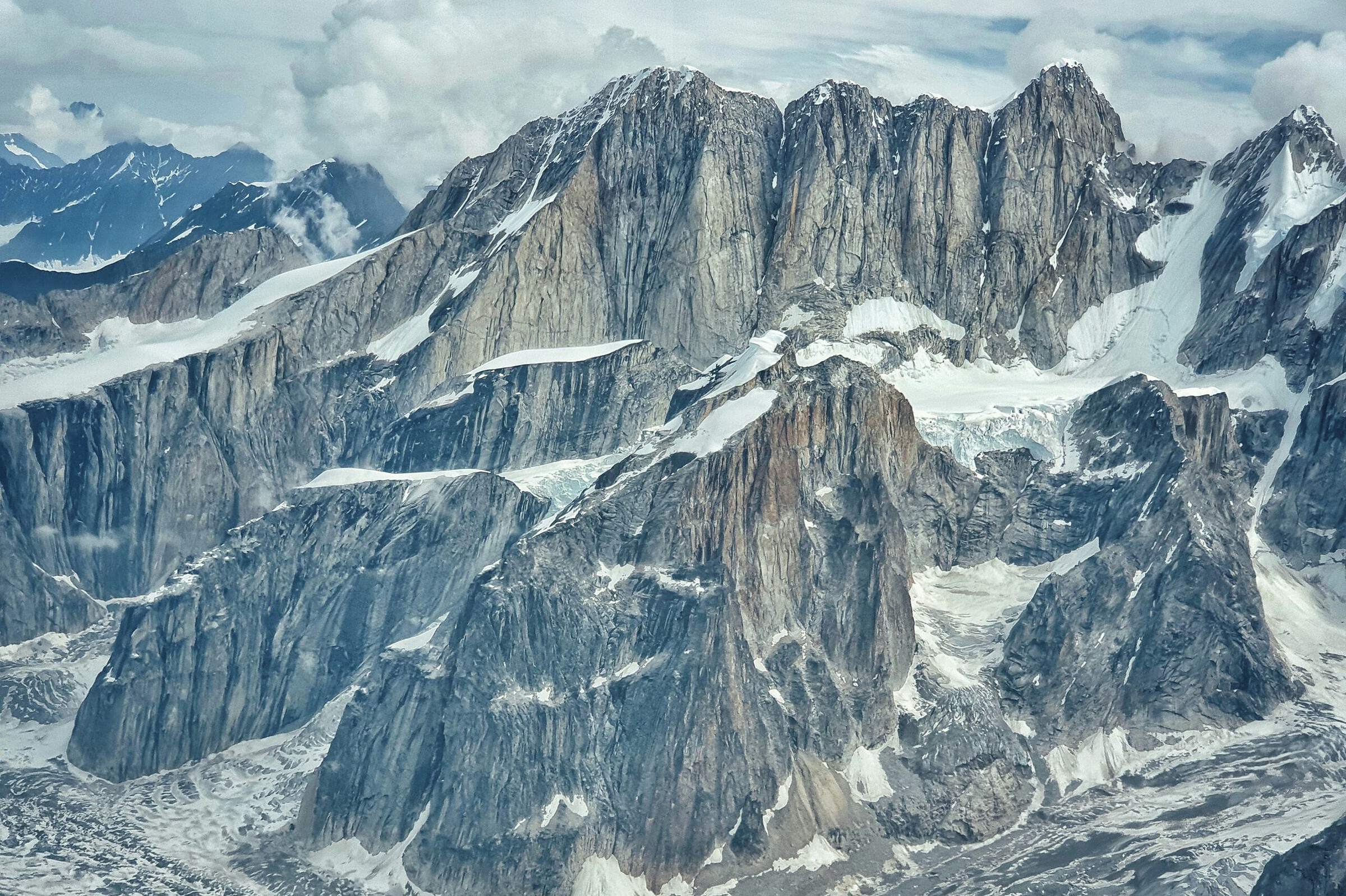
    High mountain terrain in the Karakoram
    The Broad Peak disaster belongs in the K2 season timeline because it changed the actions of K2 teams—not because the mountains or their fatality records should be combined.
    Beyond K2

    2026 was a difficult Karakoram season, but not every 8,000er had the same outcome

    Placing K2 beside the other Pakistan eight-thousanders helps show why “bad Karakoram year” is too vague. Some peaks did see successful summits.

    Peak2026 summer resultContext
    Nanga ParbatSuccessful summitsTeams reached the summit earlier in the summer before the Baltoro season reached its late-July crisis.
    Broad PeakSuccessful summits before the later tragedyThe July 30 avalanche then killed 10 climbers and reshaped the closing weeks of the Karakoram season.
    Gasherbrum IISuccessful summitsTeams succeeded despite deep snow and repeated route work.
    Gasherbrum INo successful summit in final season reportingDawn and later season summaries grouped GI with K2 among the unsummited eight-thousanders.
    K2No successful summitWind, snow, rockfall, slow route progress and the Broad Peak response closed the remaining opportunity.

    This table records whether successful summits were reported; it does not attempt to provide complete summit counts for every peak.

    Interpreting the zero

    What K2 2026 shows—and what it does not

    A zero-summit year is striking, but it should not be stretched into conclusions the season cannot support.

    What 2026 does show

    • Commercial infrastructure cannot manufacture a summit window.
    • Slow rope fixing can compress the calendar even when teams are acclimatized.
    • Wind, snow and rockfall can remain decisive despite modern forecasting and equipment.
    • A late summit cycle leaves little room for a second complete attempt.
    • Emergency response can correctly take priority over a summit objective.
    • K2 season planning needs margin for descent, not merely a forecasted summit day.

    What 2026 does not prove

    • It does not prove K2 has become permanently unsummitable.
    • It does not establish a new personal summit-success probability.
    • It does not justify a new fatality rate using zero summits as a denominator.
    • It does not mean every future late-July season will behave similarly.
    • It does not make the 2026 snow or wind pattern a forecast for 2027.
    • It does not turn Broad Peak fatalities into K2 fatalities.
    Current sources

    Sources used to close the 2026 record

    The final outcome is anchored to dated reporting published during and immediately after the Karakoram season.

    Record boundary: the page reports the completed 2026 season. It does not use 2026 conditions as a forecast for a future K2 expedition, and it does not merge the Broad Peak avalanche into K2’s fatality record.
    Direct answers

    K2 2026 Season FAQ

    Did anyone summit K2 in 2026?

    No. The 2026 Karakoram summer climbing season closed without a successful K2 summit. Dawn reported the season closed with no K2 summit, and later season summaries recorded the same final outcome.

    Why was K2 not summited in 2026?

    There was no single cause. High winds repeatedly delayed upper-mountain progress, fresh and unstable snow reduced the usable margin, rockfall remained a concern, and the late summit push was abandoned after the July 30 Broad Peak avalanche as K2 climbers redirected effort toward the response.

    How far did climbers get on K2 in 2026?

    By July 24, contemporary reporting placed fixed ropes around 7,000 metres with additional rope cached around Camp 3. During the final push, climbers reached high camps, including Camp 3, before the summit effort was abandoned.

    How many people attempted K2 in 2026?

    There is no single official public attempt count used here. Alan Arnette estimated roughly 50 people attempted K2 during the 2026 season. Treat that as a specialist estimate, not an official permit total.

    What happened on Broad Peak and why did it affect K2?

    On July 30, an avalanche on neighboring Broad Peak killed 10 climbers. K2 teams abandoned their summit pushes and joined or supported search and recovery efforts. The Broad Peak deaths are not K2 fatalities, but the disaster directly changed the final K2 summit push.

    Was bad weather the only reason K2 had no summits?

    No. Weather and mountain conditions compressed the season, but the decisive end to the remaining summit push came after the Broad Peak avalanche. The final result reflects a sequence of delays, route development, wind, snow, rockfall and the emergency response.

    What route were teams climbing?

    The supported commercial effort centered on the Abruzzi Spur on the Pakistan side. This archive summarizes route progress only; use the separate K2 route pages for climbing geography and alternatives.

    Is this still a live K2 tracker?

    No. The summer climbing season is closed, so this page is now a final historical archive of the 2026 K2 season rather than a live forecast or current conditions page.

    Does zero summits mean K2 is becoming impossible?

    No. One unsummited season is important evidence about how weather, route progress and timing can align badly, but it does not establish a permanent trend or predict the outcome of a future K2 season.

    Where should I look for current K2 planning information?

    Use the current K2 climbing guide for broad expedition planning, the K2 climbing-season page for the normal calendar and access, and the K2 weather guide for climatology. Keep this page as the dated record of 2026.

    The 2026 verdict

    No summit. A season still worth studying.

    K2’s 2026 summer ended without a successful summit. The useful lesson is not simply the zero: route progress, weather, snow, time, emergency response and judgment all have to line up on a mountain where weeks of investment can still end in a correct descent.

    Was this helpful?

    Yes
    No
    Thanks for your feedback!
Language »