
Last updated October 1, 2026
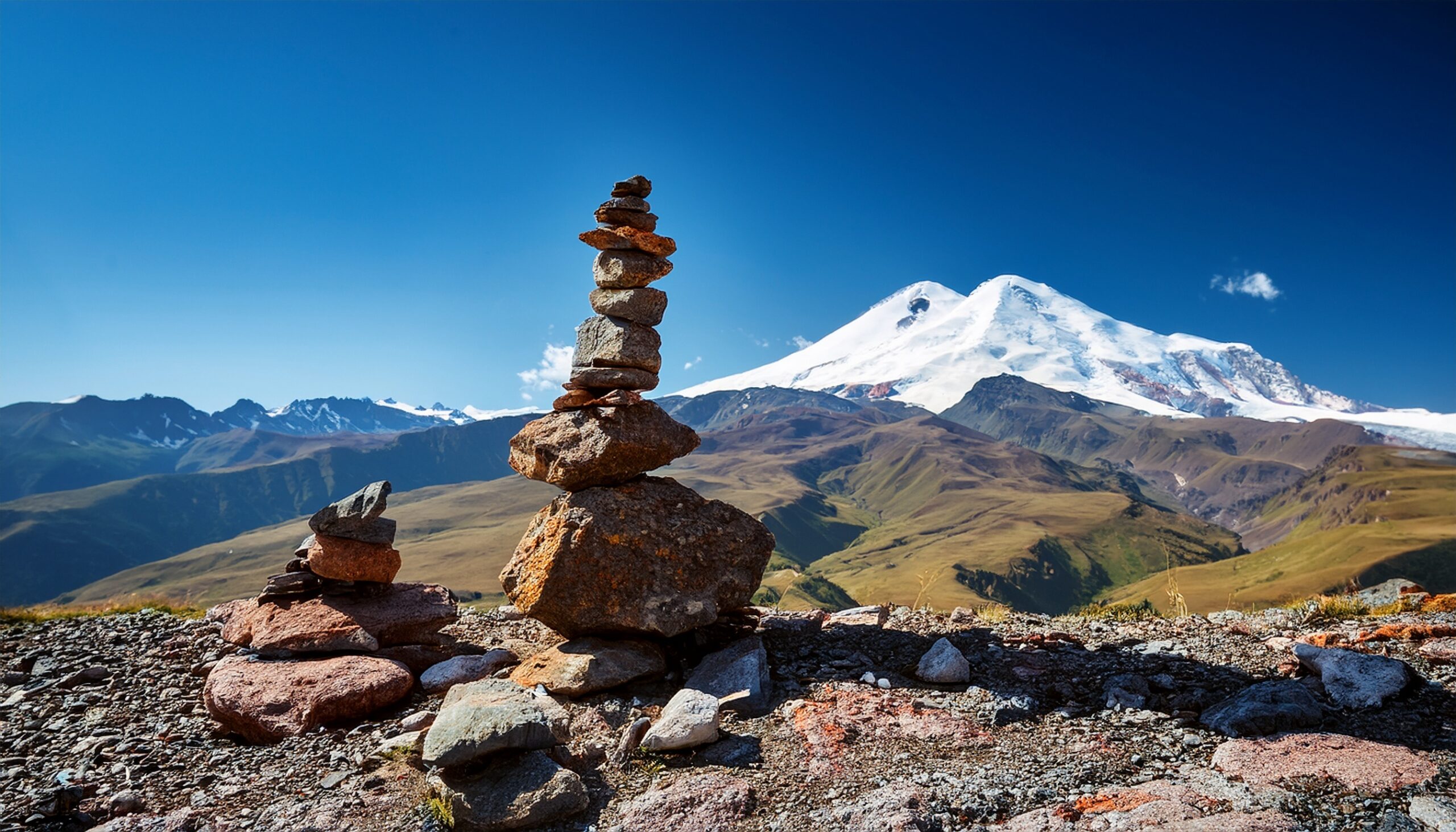
Best GPS Watches 2026: 8 Picks for Hiking & Mountains
For mountain use, a GPS watch should do more than record distance. The best models combine dependable positioning, useful navigation, barometric elevation, enough battery for the objective and a screen you can actually read when the weather turns or the route becomes unclear.
For Mountain Use, Prioritize Navigation and Battery Before Smartwatch Extras.
A serious outdoor GPS watch should have enough battery to track the entire route with meaningful reserve, dependable satellite reception, a barometric altimeter and controls that remain usable when your hands are cold or conditions are poor.
If you routinely travel on complex routes, add offline maps and route navigation to that list. Multi-band GNSS becomes especially valuable around steep rock, dense forest and other places where reflected or obstructed satellite signals can degrade positioning.
Health tracking, music, payments and notifications can be useful, but they should not outweigh the outdoor fundamentals.
8 GPS Watches to Compare First
These roles are editorial shortcuts, not laboratory rankings. Compare the feature set to your terrain, trip length, wrist size and navigation needs before choosing.
Garmin fēnix 9 Pro AMOLED inReach
Garmin’s current premium mountain platform combines onboard maps, multi-band GNSS, a titanium case, sapphire lens and optional wrist-based LTE / satellite communication.
- 43, 47 and 51 mm sizes
- TopoActive mapping
- Multi-band GNSS
- 10 ATM water rating
- Optional inReach connectivity
- AMOLED display
The 51 mm Pro AMOLED model is rated up to 31 days in smartwatch mode and up to 56 hours in normal activity mode.
Garmin fēnix 9 Pro Solar
The solar Pro shifts the emphasis from AMOLED presentation toward longer runtime while retaining the fēnix navigation and mountain feature set.
- 47 and 51 mm solar models
- Power Sapphire lens
- TopoActive mapping
- Multi-band GNSS
- Titanium case
- Strong expedition battery modes
Garmin rates the 51 mm Pro Solar at up to 30 days smartwatch use before solar extension, with substantially longer runtime under its specified solar conditions.
Garmin Enduro 3
Enduro 3 remains one of Garmin’s clearest choices when battery life matters more than a bright AMOLED display.
- 51 mm case
- 63 g claimed weight
- TopoActive maps
- Multi-band GNSS
- Solar charging
- MIP display
Garmin lists up to 120 hours in GPS-only mode before solar extension, and up to 320 hours under its stated solar-use assumptions.
Suunto Vertical 2
Vertical 2 combines free offline maps, dual-band GNSS and a large AMOLED screen with a straightforward outdoor-navigation focus.
- 1.5-inch LTPO AMOLED
- Free offline maps
- Dual-band GNSS
- Integrated LED flashlight
- 100 m water resistance
- 115+ sport modes
Suunto rates Vertical 2 for up to 65 hours in its best-accuracy performance GPS mode and up to 20 days of daily use with heart rate enabled under its stated settings.
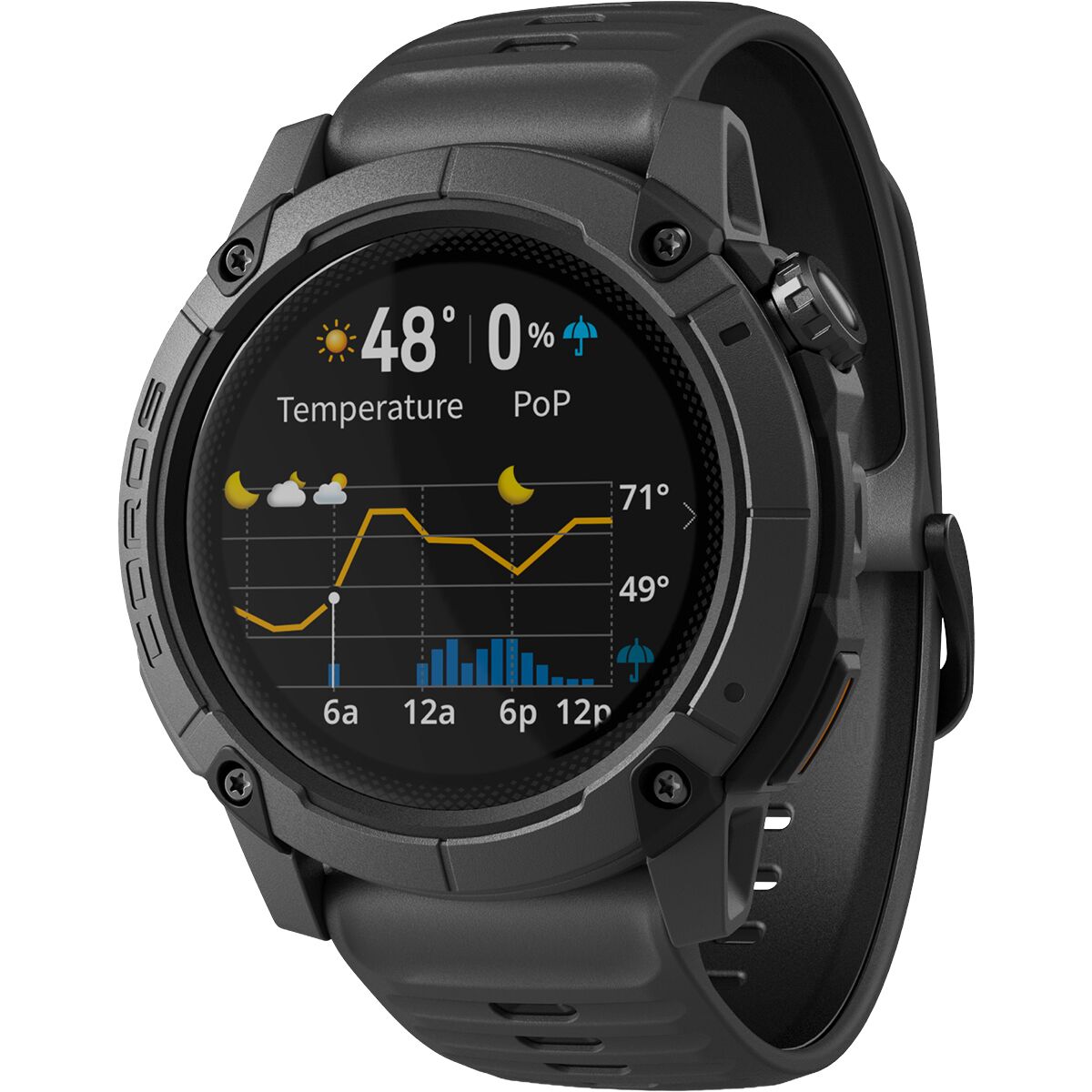
COROS APEX 4 46mm
APEX 4 is designed specifically around mountain sports, with a titanium bezel, sapphire glass, dual-frequency GPS and much faster map rendering than previous APEX generations.
- Grade 5 titanium bezel
- Sapphire glass
- Global topo + landscape maps
- Trail and street names
- Turn-by-turn navigation
- Dual-frequency GPS
COROS rates the 46 mm model for up to 65 hours in Endurance satellite mode, 53 hours in its higher all-systems mode and 41 hours in dual-frequency mode.
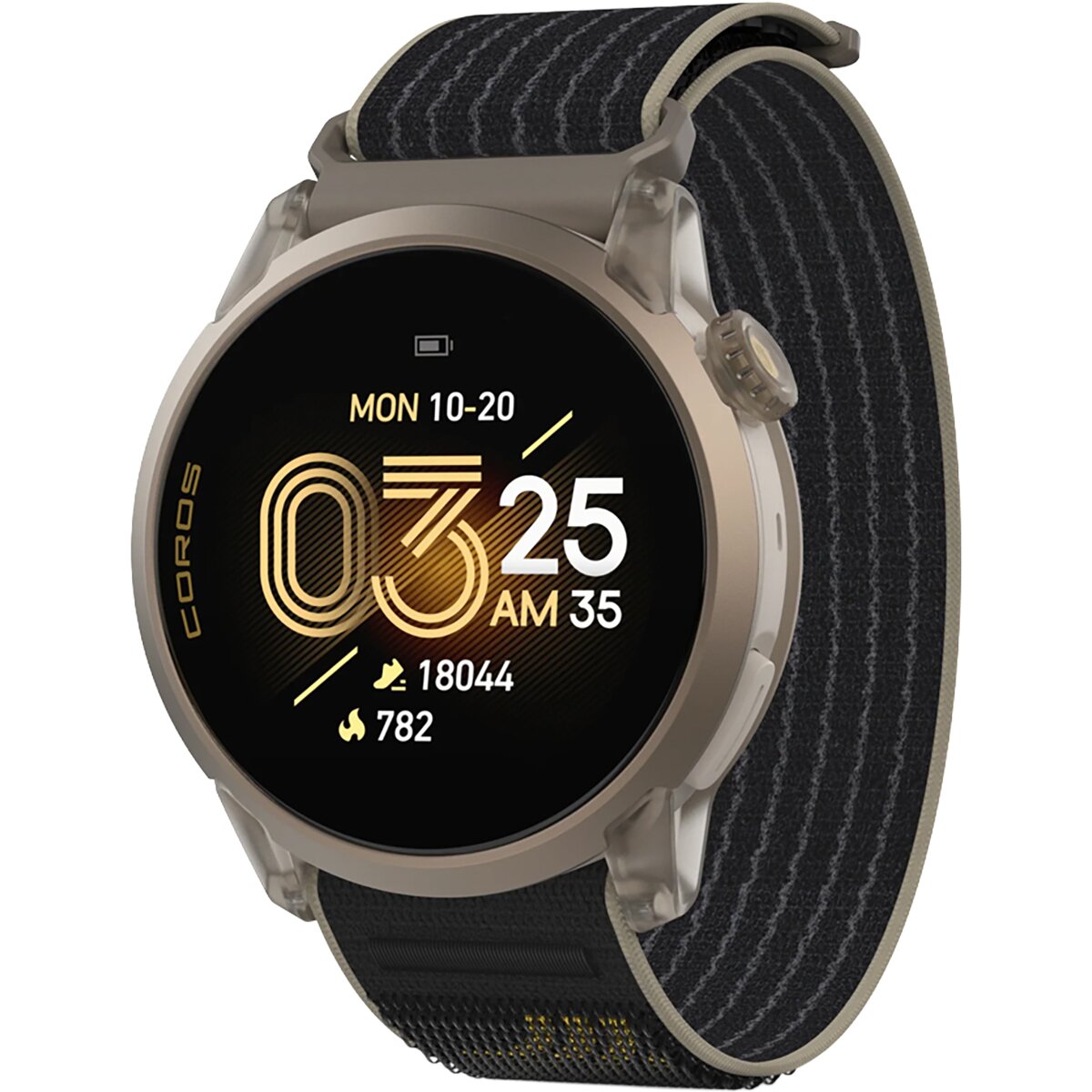
COROS Nomad
Nomad is less race-focused than APEX and more directly aimed at hiking, camping, fishing and general outdoor exploration.
- Global maps with street names
- Turn-by-turn navigation
- Dual-frequency GPS
- Back-to-start
- Weather information
- Adventure Journal + Voice Pins
COROS lists up to 50 hours with all satellite systems and 34 hours in dual-frequency mode, with up to 22 days of standard daily use.
Garmin Forerunner 970
Forerunner 970 brings Garmin mapping and multi-band GPS into a lighter training-focused watch for runners who also spend serious time on trails.
- AMOLED display
- TopoActive maps
- Multi-band GNSS
- LED flashlight
- Advanced running metrics
- Lighter training-oriented design
Garmin rates it for up to 26 hours in GPS-only GNSS mode and up to 21 hours in all-systems multi-band mode.
Garmin Instinct 3 Solar
Instinct 3 Solar gives up full onboard mapping in exchange for a rugged interface, strong GPS endurance and exceptionally long solar-assisted runtime.
- 45 and 50 mm options
- Multi-band GPS
- ABC sensors
- Built-in LED flashlight
- 10 ATM water rating
- Solar charging
Garmin rates the 50 mm version for up to 60 hours in GPS-only mode before solar extension and up to 40 days in normal smartwatch use.
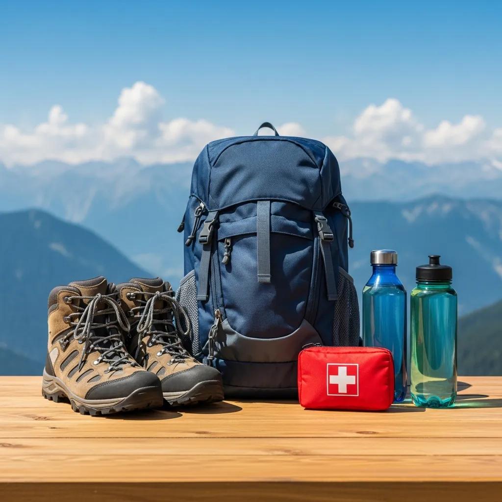
GPS Watch Comparison for Mountain Use
Battery claims use different manufacturer modes. Treat them as directional comparison points—not laboratory-equivalent measurements.
| Watch | Maps | Advanced GNSS | Battery Headline | Display | Best Use | Main Trade-Off |
|---|---|---|---|---|---|---|
| Garmin fēnix 9 Pro inReach | TopoActive / routable | Multi-band | Up to 56 hr normal activity, 51mm AMOLED | AMOLED | Premium expeditions + connectivity | High cost; inReach plan / coverage limits |
| Garmin fēnix 9 Pro Solar | TopoActive / routable | Multi-band | Designed for extended solar-assisted use | MIP / solar | Long mountain objectives | Large and expensive |
| Garmin Enduro 3 | TopoActive | Multi-band | 120 hr GPS-only; up to 320 hr with stated solar assumptions | MIP / solar | Ultras + thru-hiking | 51mm-only format |
| Suunto Vertical 2 | Free offline maps | Dual-band | Up to 65 hr best-GPS mode | 1.5″ AMOLED | Navigation-heavy hiking | Smaller app ecosystem than Garmin |
| COROS APEX 4 46mm | Topo + landscape | Dual-frequency | 65 hr endurance / 41 hr dual-frequency | MIP | Mountain sports | Less smartwatch emphasis |
| COROS Nomad | Global maps | Dual-frequency | 50 hr all systems / 34 hr dual-frequency | MIP | Hiking + outdoor adventure | Less premium construction than APEX |
| Garmin Forerunner 970 | TopoActive | Multi-band | 26 hr GPS-only / 21 hr multi-band | AMOLED | Running + trail training | Less expedition battery |
| Garmin Instinct 3 Solar | No full onboard maps | Multi-band | 60 hr GPS-only on 50mm before solar extension | MIP / solar | Rugged hiking + battery | No detailed wrist mapping |
Offline Maps Are the Feature That Separates a Tracker From a Navigator
A breadcrumb line can tell you where your recorded track goes. A real map can show terrain, route context, junctions, surrounding features and alternative directions when the situation changes.
Garmin’s premium mapping watches support TopoActive maps. Suunto Vertical 2 provides downloadable offline maps. COROS APEX 4 and Nomad provide global map layers and route navigation.
The map still should not become your only navigation source. Tiny screens can hide broader terrain context, batteries die, and electronic devices can fail.
Smartwatch Battery Is Not GPS Battery
“30 days of battery” can sound extraordinary until the watch begins recording continuous GNSS, drawing maps and running additional sensors.
Build in Reserve
Your watch should comfortably exceed the planned trip duration even after navigation, cold and screen use are considered.
GPS Mode Matters
Compare the exact mode you intend to use—not the manufacturer’s longest possible economy setting.
Read the Conditions
Solar battery claims assume specific light exposure. Tree cover, clothing, weather and season can reduce the benefit.
Expect Less
Lithium-ion batteries generally deliver less usable performance in very cold conditions, particularly when exposed on the wrist.

When Multi-Band GPS Actually Helps
More demanding GNSS modes are most useful when terrain makes satellite reception difficult—not simply because a specification sheet contains more acronyms.
Canyons
High walls can obstruct or reflect signals and create positioning errors.
Dense Forest
Tree cover can reduce signal quality, especially when combined with steep terrain.
Couloirs + Cliffs
Constrained views of the sky make better signal handling more useful.
Battery Cost
Maximum-accuracy positioning generally consumes more power than less demanding satellite modes.

GPS Precision Cannot Tell You Whether the Mountain Is Safe.
A perfect track does not evaluate lightning, unstable snow, rockfall, fatigue, river crossings or whether your party has enough daylight for the descent.
The Brightest Screen Is Not Automatically the Best Mountain Screen
Both display technologies work well outdoors. The decision comes down to map presentation, battery priorities and personal preference.
Beautiful Mapping
High contrast, vivid color and fine detail can make complex maps and data screens easier to interpret.
Sunlight + Efficiency
Memory-in-pixel screens remain highly readable in strong daylight and can contribute to longer endurance-focused battery profiles.
Choose the Mission
Shorter mountain trips may favor AMOLED. Multi-day trips without charging may justify prioritizing MIP and solar options.
Some GPS Watches Now Include Satellite Communication
Garmin’s fēnix 9 Pro line includes versions with inReach LTE and satellite connectivity. With the appropriate service plan, those models can support messaging, location check-ins and SOS functions without relying on a paired phone.
That does not mean every fēnix 9 Pro includes satellite hardware, and it does not mean a wrist device has the same coverage characteristics as every dedicated inReach communicator.
Garmin specifically notes geographic and line-of-sight limitations for the watch’s satellite service.

Why the Barometric Altimeter Still Matters
GPS elevation alone can fluctuate. A barometric altimeter provides another input for tracking vertical movement and matching your position to terrain.
Elevation Context
Useful for understanding where you are on a climb and comparing elevation with passes, camps and contour information.
Pressure Change
Atmospheric pressure is part of the watch’s elevation and weather information system, although it does not replace a real forecast.
Heading
A magnetic compass can provide heading information when you are not moving fast enough for GPS course direction to be useful.

A Watch You Hate Wearing Is the Wrong Watch
Giant cases create room for batteries and screens, but a watch still has to remain comfortable through sleep, long hikes and cold-weather layering.
Case Diameter
Large 50–51 mm adventure watches can overhang smaller wrists and feel unstable during running.
All-Day Comfort
Ten or twenty grams may sound trivial until the watch stays on your wrist for several days.
Buttons Matter
Physical controls remain useful with gloves, rain and cold fingers even when the watch also has a touchscreen.
Band Fit
A loose watch can reduce optical heart-rate consistency, while an excessively tight watch becomes uncomfortable.
What About Apple Watch Ultra 4?
Apple released Ultra 4 in September 2026, so it belongs in any current GPS-watch discussion even though this page’s core commercial set is centered on Backcountry’s outdoor-watch inventory.
Excellent Smartwatch. Different Expedition Priorities.
Ultra 4 continues Apple’s emphasis on deep iPhone integration, health tracking, communication and a polished touchscreen interface, while also targeting outdoor sports and adventure use.
Apple states that Ultra 4 can track outdoor workouts for up to 45 hours under its specified conditions.
That can be ample for many hikes and races, but endurance-focused Garmin, COROS and Suunto models can provide substantially longer manufacturer-rated GPS runtimes in their appropriate modes.
Choose a dedicated outdoor platform when: multi-day battery, specialized maps and expedition-oriented power management dominate the decision.
Shop Current GPS & Outdoor Watches
The gear module intentionally uses a broad supported search rather than an invented GPS-watch tag. Confirm fit, mapping and battery requirements before comparing current stock and pricing.
Current Outdoor Watches
Live inventory from the Global Summit Guide Gear Ads catalog. The minimum-price filter helps keep low-cost watch straps and small accessories out of this buyer-guide block.
Current GPS & Outdoor Watches
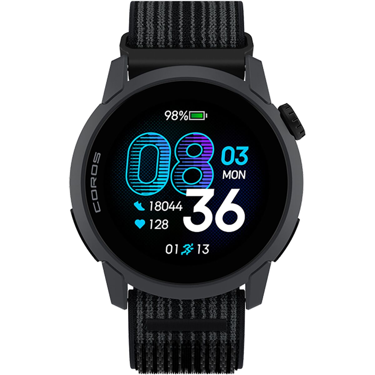
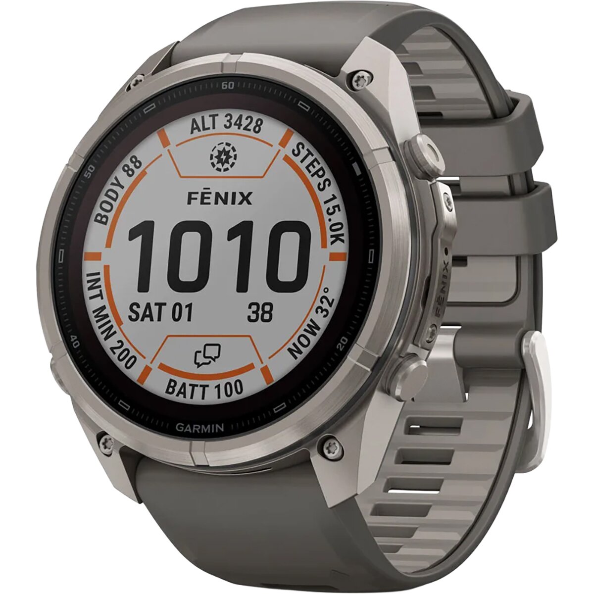
We may earn a commission if you buy through these links, at no extra cost to you. Affiliate disclosure
Five Questions That Usually Narrow the Field Fast
Most buyers do not need every feature. Identify the trip constraint that actually drives the decision.
Do You Need Full Maps?
If yes, eliminate models that provide only breadcrumb or basic route guidance.
How Long Is the Longest Trip?
Compare battery in your intended GNSS mode, with enough reserve for unexpected delays.
Do You Need Satellite Messaging?
If yes, study coverage and subscription requirements rather than assuming every “adventure” watch communicates off-grid.
AMOLED or Battery?
Decide how much runtime you are willing to trade for a brighter, richer display.
How Large a Watch Can You Wear?
Try the case on if possible. Battery specs do not matter if the watch is uncomfortable enough to stay in a drawer.
Does the App Ecosystem Fit?
Route building, syncing, training history and third-party integration become part of the ownership experience after the watch is purchased.
A GPS Watch Is a Tool, Not a Rescue Plan
Electronics increase capability, but they can also create false confidence when a route becomes difficult.
Carry Another Navigation Source
Phone maps, paper mapping or another route-appropriate backup keeps one failed device from becoming a single point of failure.
Start Charged
Verify battery before departure and understand the watch’s power profile before a long trip.
Load Maps Before Leaving
Do not assume map downloads or phone-dependent setup will work once you lose Wi-Fi and cellular service.
Know What SOS Actually Does
Read the exact subscription, coverage and connection requirements before depending on a watch for emergency communication.
How This GPS Watch Guide Was Built
Current specifications were rechecked for October 2026 because the GPS watch category changes quickly.
Editorial roles are based on current navigation features, GNSS options, mapping, manufacturer battery specifications, construction, screen type, sensors, communication features and intended outdoor use.
Current Backcountry inventory was also checked so the affiliate layer reflects products the merchant actually carries rather than a theoretical comparison disconnected from the page’s monetization.
Best GPS Watches FAQ
What is the best GPS watch for hiking?
For serious hiking, prioritize reliable positioning, adequate GPS battery, a barometric altimeter and useful navigation. If you hike on complex or unfamiliar routes, full offline maps move much higher on the priority list.
Do I need multi-band GPS for hiking?
Not on every trail. Multi-band GNSS is most useful in difficult reception environments such as deep valleys, dense forest and steep rock terrain. Simpler modes can save battery when conditions are straightforward.
Are offline maps worth paying for?
For frequent mountain hikers, they can be extremely valuable. Seeing terrain and route context directly on the wrist is more useful than following only a breadcrumb line when a junction becomes unclear.
Can a GPS watch replace my phone?
Usually not completely. Watches are excellent for immediate navigation, recording and on-wrist information, while phones still provide larger maps, communication, photography and broader trip management.
Can a GPS watch replace a satellite messenger?
Do not assume so. Certain Garmin watches now include inReach-capable versions, but coverage, active subscriptions and connection requirements matter. Dedicated communicators can still be the better choice for some routes and regions.
How much battery life should a hiking GPS watch have?
Enough to exceed your expected trip duration with a meaningful reserve in the exact satellite and mapping mode you intend to use. For multi-day travel, power strategy becomes a major buying criterion.
Is AMOLED or MIP better for hiking?
AMOLED provides excellent color and detail, especially for maps. MIP displays excel in bright sunlight and are commonly paired with endurance-oriented battery designs. Neither is universally superior.
Is Garmin better than COROS or Suunto?
Garmin generally offers a very broad feature and app ecosystem. COROS is especially competitive in battery life and mountain-sport functionality, while Suunto provides strong outdoor navigation and offline mapping. The better platform depends on the features you actually need.
Build the Rest of Your Mountain System
Mountaineering Gear Guide
Build footwear, clothing, technical gear and navigation into one complete mountain system.
SafetyGear & Safety
Match equipment decisions to terrain, weather and consequence.
ElectronicsBest Headlamps
Pair GPS navigation with reliable lighting for early starts and unexpected late finishes.
Hiking equipmentBest Trekking Poles
Compare pole materials, locks and mountain-hiking use.
Long distanceThru-Hiking Gear List
Build a complete long-distance equipment and power system.
PlanningHow to Plan a Thru-Hike
Put navigation, resupply and equipment into a complete trail plan.
Hiking systemBest Women’s Hiking Gear
Build footwear, packs, layers and trail essentials around fit.
PreparationGear Checklist
Turn equipment preparation into a repeatable pre-trip process.
OvernightHigh-Altitude Sleeping Bags
Continue building a multi-day mountain equipment system.

Buy the Navigation You Need—Then Add the Smartwatch Features.
On a mountain, dependable positioning, maps and battery can matter far more than music storage or phone notifications. Choose the watch that matches your longest and most demanding trip, not just your average day.
Was this helpful?
Global Summit Guide is an independent mountaineering resource founded in 2026. The team combines first-hand trekking and climbing experience with in-depth research and professional health and nutrition review to help climbers choose objectives, prepare properly, and stay safe.
Health, altitude, and nutrition content is reviewed by Taylor Ludlow (Registered Nurse) and Brigg Hoopes (Nutritionist).
What We Don't Know Yet
Mountain information changes quickly. This box explains the limits of what this page can responsibly promise.
- Visa, passport, vaccination, border, insurance, and local transportation rules may change before your trip.
- Route conditions, snowpack, closures, and weather can change quickly after this page is updated.
- Permit rules, fees, quotas, and reservation windows may change between review cycles.
- Operator availability, pricing, guide ratios, and cancellation terms can change by season.
- Your fitness, altitude response, risk tolerance, and experience level may change what is safe or realistic.
Verify current conditions with official land managers, guide services, local forecasts, and current route reports before booking or climbing.
Mountaineering, rock and ice climbing, glacier travel, and high-altitude activity are inherently dangerous and can result in serious injury or death. The information on Global Summit Guide is provided for general informational and educational purposes only and is not a substitute for professional instruction, qualified guiding, proper equipment, or your own judgment and experience.
Route conditions, weather, snowpack, permits, regulations, and hazards change constantly and may differ from what is described here. Details may be incomplete, out of date, or contain errors. Always verify current information with local authorities, certified guides, and official sources before making any decision in the mountains.
Nothing on this site is medical, legal, or financial advice. Our fitness, acclimatization, altitude, and nutrition content is general in nature; consult a qualified physician before beginning any strenuous exercise program or exposing yourself to high altitude.
You are solely responsible for your own safety and decisions. To the fullest extent permitted by law, Global Summit Guide and its team accept no liability for any loss, injury, damage, or expense arising from use of, or reliance on, this information. By using this site you acknowledge these risks and accept these terms.
Some links on this site may be affiliate links. If you buy through them we may earn a small commission at no extra cost to you; this never affects our recommendations.
Global Summit Guide recommendation path
Next Best Mountain to Research
Use these recommendations to continue the right planning path instead of stopping on one page.
Use current permit, weather, route, and operator information before booking or climbing.