
Last updated September 30, 2026
Pyramid Peak Climb: Class 4 Northeast Ridge, Permits & Route Guide
Pyramid Peak rises above the Maroon Bells area, but its standard route is far more demanding than the popular lake trail below. Plan for loose rock, exposed Class 3–4 scrambling, difficult route-finding, a high-stakes descent and two separate reservation decisions if you camp.
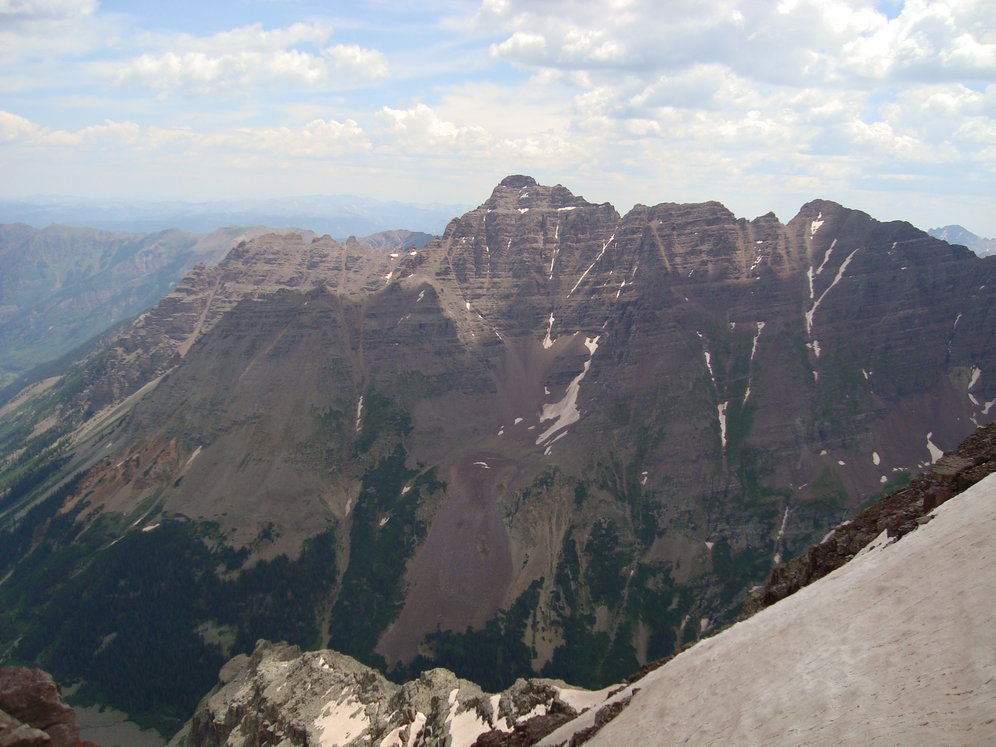
Pyramid Peak is a 14,029-foot summit in Colorado’s Elk Mountains, immediately south of the Maroon Bells area near Aspen. Its standard Northeast Ridge begins at Maroon Lake and finishes on complicated upper-mountain terrain. Under current 14ers.com route measurements, the outing is about 8.25 miles round trip with 4,500 feet of gain.
The mileage hides the commitment. After a comparatively simple approach toward Crater Lake, climbers gain a steep talus basin, then climb roughly 1,000 feet of scree to reach the Northeast Ridge. The last thousand feet involves high-exposure ledges, loose ribs, an unmistakable narrow gap commonly called the “Leap of Faith,” greenish rock and short Class 4 sections. Descending this ground often takes as much concentration as ascending it.
This guide is about one mountain and one standard route: Pyramid’s Northeast Ridge. It does not substitute for the full 14ers.com photographic route, current reports, a topographic map, professional instruction or your own go/no-go judgment. It links related Elk Range and Colorado pages for broader comparisons rather than duplicating their coverage.
What makes Pyramid Peak difficult?
Class 4 terrain is only part of the challenge. The Northeast Ridge combines sustained altitude, loose Elk Range rock, exposure, route-finding and a demanding reverse of the same obstacles. 14ers.com rates exposure, rockfall potential, route-finding and commitment all high. This is not a first scrambling objective.
Comfortable Class 3 experience, solid movement on exposed rock, detailed route study and the discipline to retreat are more relevant than whether you have hiked many easier 14ers.
Arrange access before attempting the climb.
The road is paved, but vehicle access is managed seasonally. The parking reservation and any overnight wilderness permit solve different requirements; securing one does not automatically secure the other.

Parking for a day climb vs. a camp near Crater Lake
Day climb: the appropriate Maroon Lake Midnight-to-Midnight or other qualifying parking reservation is generally the relevant option when you need a pre-dawn start. During the 2026 managed season, private-vehicle arrivals are restricted between approximately 8 a.m. and 5 p.m. Check the reservation type and its arrival window before booking.
Overnight climb: the Crater Lake permit zone requires a separate wilderness overnight permit with a reserved designated campsite. You must also arrange an eligible trailhead parking reservation or shuttle. Do not assume an overnight camping permit guarantees a parking space.
Recreation.gov and the local reservation operator post different but complementary rules. Save confirmations offline and follow the specific instructions issued with your booking.
Plan the arrival window
The bus schedule does not suit every pre-dawn climbing itinerary. A correctly timed reservation or permitted drop-off is often the central logistics choice.
Use your assigned campsite
Crater Lake is a designated-site permit zone. Match every planned night to the reservation and keep your printed permit with you.
Use legal food storage
Backpackers need approved bear-resistant food storage. Campfires are prohibited at Crater Lake designated sites; drones are prohibited in wilderness.
From Maroon Lake to the 13,000-foot saddle
The lower section is physically hard, but the main climbing risks develop above the saddle. This outline is for planning and identifying major decision points—not for replacing detailed photographs, offline mapping or real-time route-finding.
Leave the busy lake trail and commit to the amphitheater.
Follow the established path from Maroon Lake toward Crater Lake. Before reaching the lake, identify the signed or cairned junction for Pyramid using the current route source. The Pyramid approach climbs through forest toward a broad amphitheater beneath the peak’s north face.
The amphitheater contains a rock glacier and broad talus. The route crosses toward the east side before gaining a steep slope to the Northeast Ridge saddle. Snow and lingering ice can turn otherwise manageable basin travel into a much more consequential objective.
Study the route in daylight before the trip when possible. Reaching the saddle via a convenient-looking alternative gully may create unfamiliar terrain on descent.

Maroon Lake to the Crater Lake trail junction
Start from the roughly 9,600-foot Maroon Lake trailhead. Follow the Crater Lake trail into forest and look for the Pyramid branch around 1.5 miles from the start, near the 10,100-foot contour. Confirm current junction markers and your offline track before departure.
Steep forested climb to the amphitheater
The Pyramid branch gains about 1,000 feet through switchbacks and rock. Near 11,200 feet, the trees end and the amphitheater opens under Pyramid’s north face. Trail quality and cairn spacing change here.
Cross the amphitheater toward the northeast ridge
Follow the current cairned route around the rock glacier, then turn toward the steep slope beneath the ridge. Do not chase convenient snow patches unless they match your equipment, skills and assessed conditions.
Gain the saddle near 13,000 feet
Climb roughly 1,000 feet of steep, loose scree. The saddle is a major decision point: beyond it, the route becomes sustained exposed scrambling, while bad weather makes the reverse more dangerous.

Class 4 is not defined by one move. It is the consequences of many decisions in sequence.
The technical terrain is discontinuous, and the easiest line may be hard to locate. The ability to reverse the same exposure in changing light, energy and weather is part of the route.
Illustrative image: rock climbing skills; not a photograph of Pyramid Peak’s route.Understand the exposed ridge before you start it.
Route landmarks help with planning, but conditions and cairns change. 14ers.com’s current photograph-by-photograph Northeast Ridge guide should be studied independently and carried offline.
| Upper-route landmark | Why it matters | Conservative decision |
|---|---|---|
| Northeast Ridge saddle | Start of more continuous route-finding on ledges and ribs | Reassess weather and your remaining time; descent is not a casual trail walk. |
| Exposed ledges and the “Leap of Faith” | Recognizable gap and narrow ledge traverse around the low 13,000-foot section | Do not interpret a famous obstacle as permission to improvise. Stop if you cannot identify a secure line and safely reverse it. |
| Greenish rock band / wall | A distinctive climbing section around the upper 13,000-foot terrain; loose debris may sit on ledges | Keep visual notes for the return and protect climbers below from dislodged stones. |
| Upper red rock | Short exposed Class 3–4 pitches and ambiguous ledges toward the summit | Use the documented route and reject unfamiliar gullies that appear faster. |
| Entire descent | Downclimbing, loose ribs and retracing route decisions when more tired | Build a generous weather and daylight buffer; do not “spend” all your concentration reaching the summit. |
Four risks that make Pyramid different from an ordinary 14er
These are not independent problems. Loose rock slows the party, route-finding consumes daylight, and weather can arrive while climbers are still high on exposed ledges.
High rockfall potential
Testholds thoughtfully, avoid stacking climbers beneath one another in gullies, and use a helmet. A correct route line does not guarantee sound rock.
High exposure
Hand-and-foot confidence on consequential rock is a prerequisite. Anyone uncomfortable reversing an exposed passage should reassess before the ridge.
High route-finding difficulty
GPS alone is insufficient for choosing the correct rib or ledge. Study photos, understand terrain and preserve a mental map for descent.
High consequence of delay
Complex downclimbing makes ordinary 14er turnaround rules inadequate by themselves; the descent must have its own time budget.
Practice Class 3 first
Repeated experience with exposure, loose rock, helmets and reversing technical scrambling matters more than collecting easier high peaks.
Coordinate every section
Give one another space, keep communication clear and avoid pushing a less experienced partner through terrain they did not consent to attempt.

Share the trail with sightseers early. Enter the upper mountain prepared for isolation.
The busy Maroon Lake experience can disguise how quickly the Northeast Ridge becomes a remote, high-consequence alpine objective. Your destination is Pyramid Peak—not the postcard viewpoint.
Pick a conditions window, not merely a calendar date.
Experienced parties often target July–September for dry summer rock, subject to actual snowpack, recent storms and daylight. A quiet forecast does not reduce Pyramid’s route difficulty.
Snow can change the climb
Snow on the amphitheater, ledges or upper gullies may demand technical snow skills. Avoid combining unfamiliar snow travel with unfamiliar Class 4 terrain.
Watch the afternoon sky
A very early start protects daylight and potential weather margin. Decide turnaround points before beginning the upper thousand feet.
Wet, icy rock is a major escalation
Shorter days, colder morning rock and early snow can quickly remove the value of a nominally clear-weather forecast.
Make an explicit descent plan.
Before leaving the saddle, agree on the forecast cutoff, climbing pace, fatigue signals and a firm turnback time that preserves the full downclimb. The famous summit gap is not the end of the route’s difficulty.
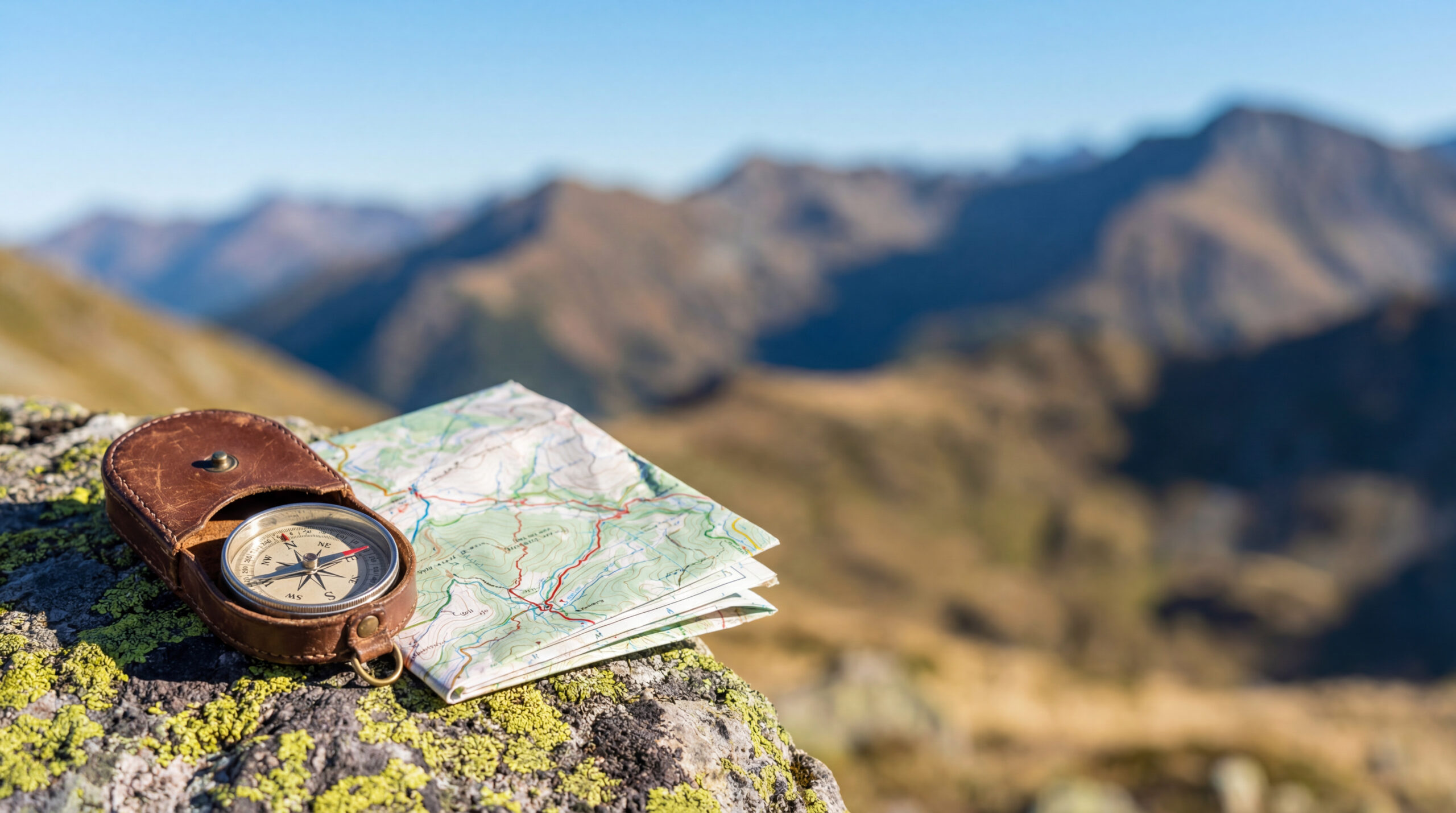
Carry an offline map, the current 14ers.com photo sequence, backup navigation and a headlamp with extra power. Choose a turnaround trigger you will honor even with the summit visible.
Bring equipment you already know how to use.
Dry-summer Class 4 conditions require reliable movement systems, not simply more equipment. Professional guides may recommend additional protection based on the group and current conditions; this page does not prescribe a rope system remotely.
Helmet, precise footwear, navigation and weather protection
- Climbing helmet: rockfall risk is high on the standard route, especially in shared gullies.
- Footwear: secure approach shoes or footwear tested on steep, loose terrain; traction needs change if snow remains.
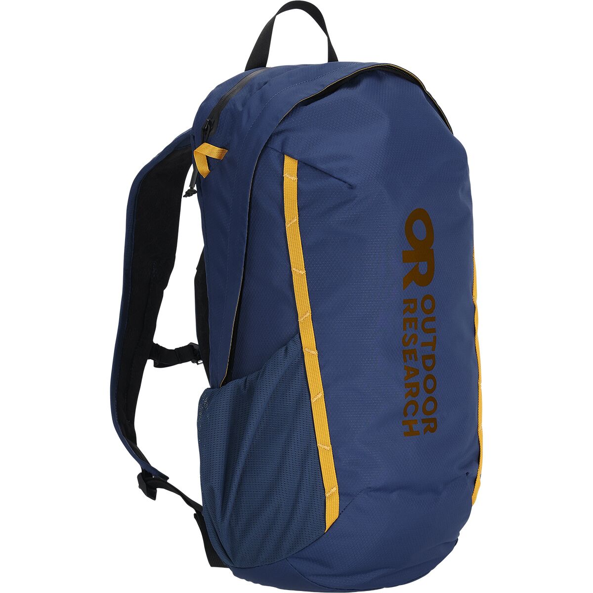
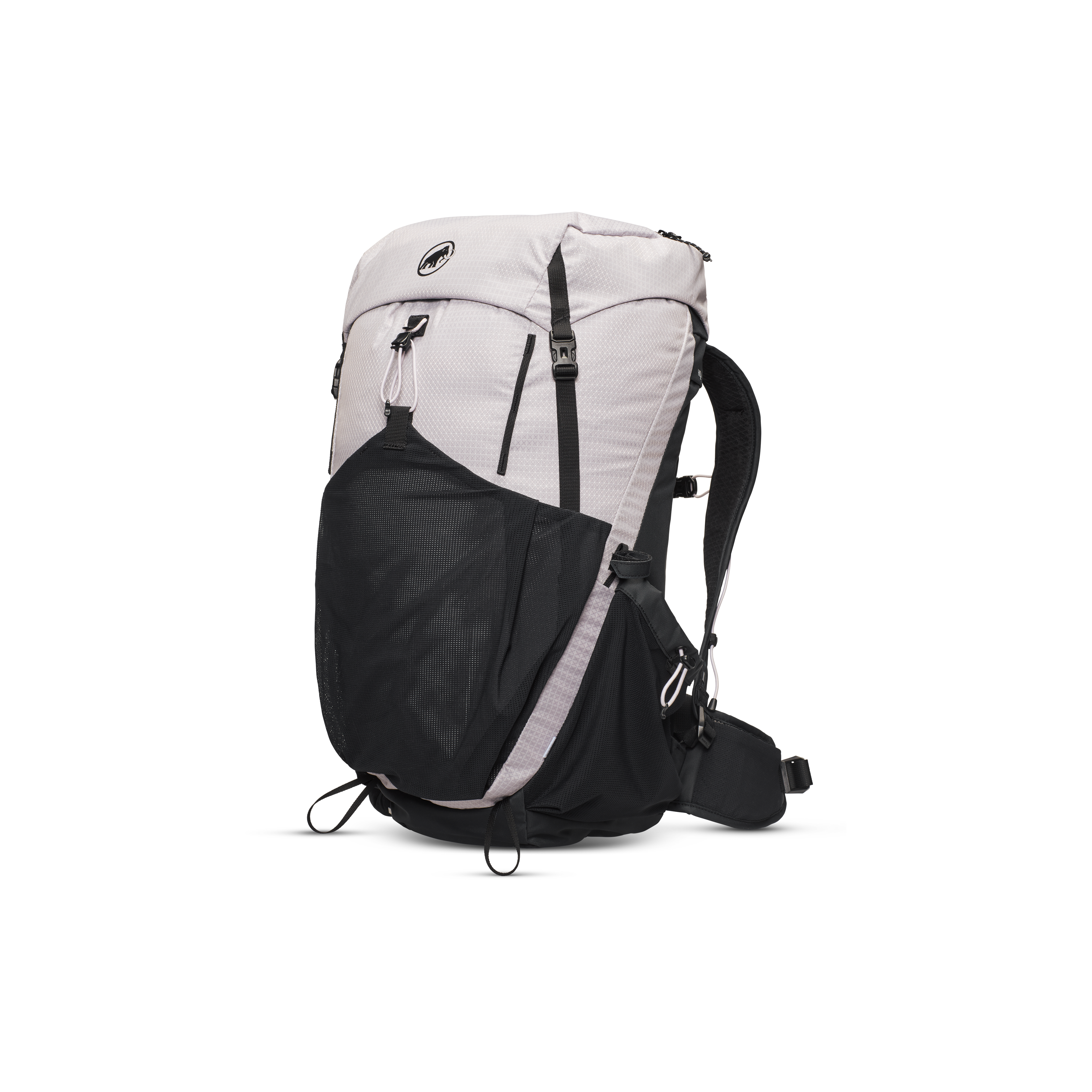
- Light pack: stable fit that leaves both hands free for scrambles.
- Navigation: offline topographic map, independent backup and downloaded route photos; do not depend on cellular service.
- Early-start essentials: headlamp, layered insulation, wind/rain shell, gloves, sun protection, food and water.
- Conditions-dependent snow tools: only for experienced parties when terrain and snow demand them; otherwise reconsider the objective.

Pyramid Peak Scrambling Gear
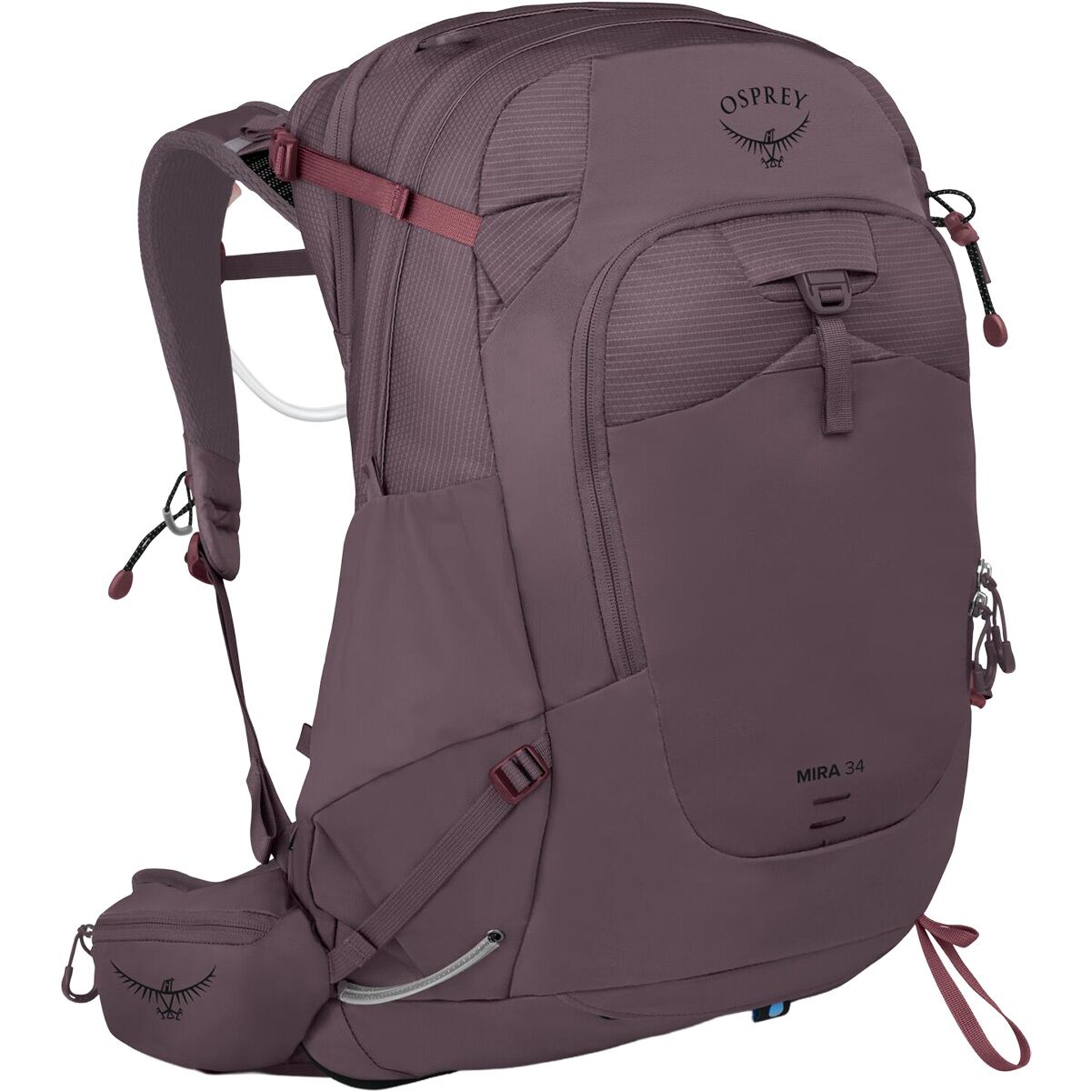
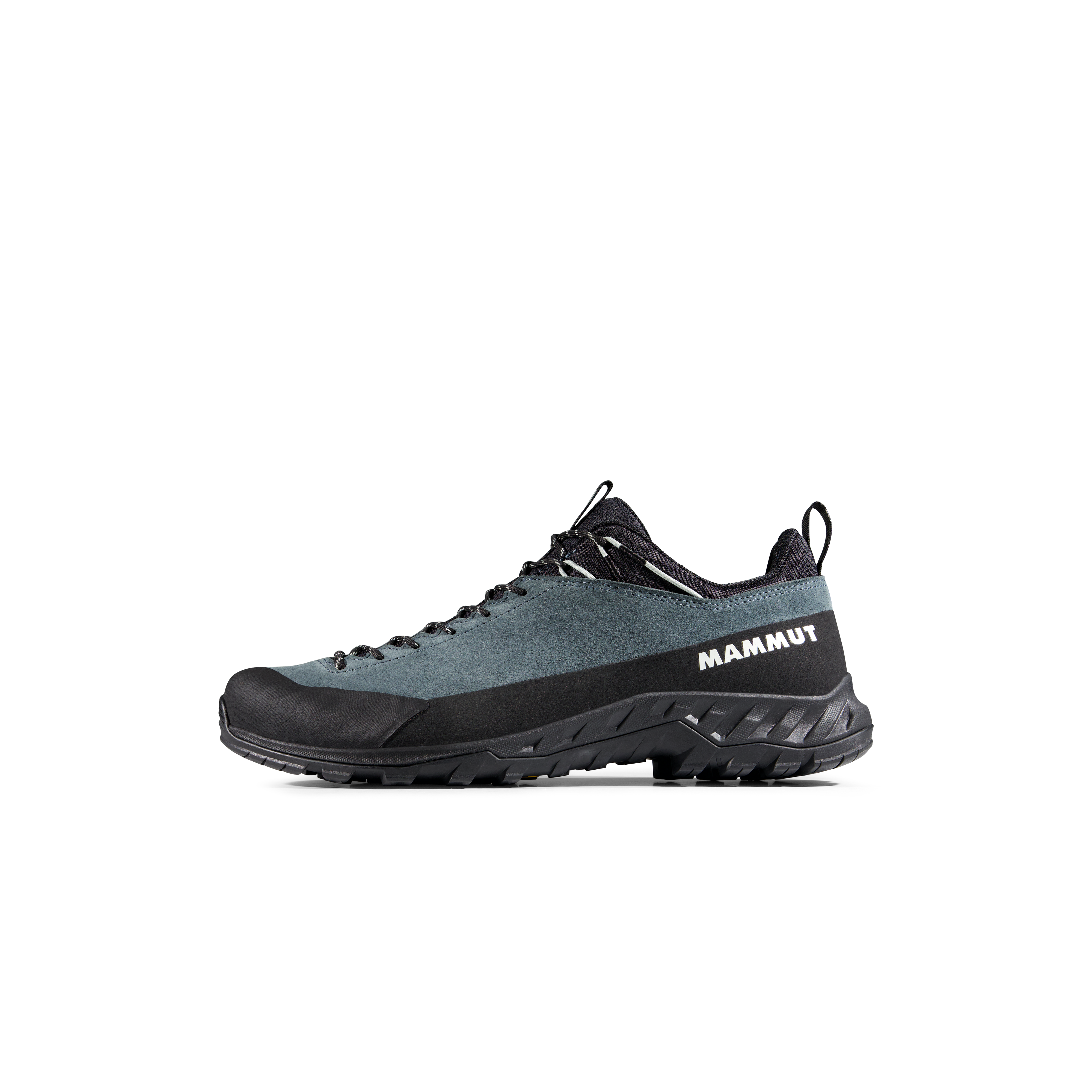
We may earn a commission if you buy through these links, at no extra cost to you. Affiliate disclosure
Early-Start and Approach Essentials
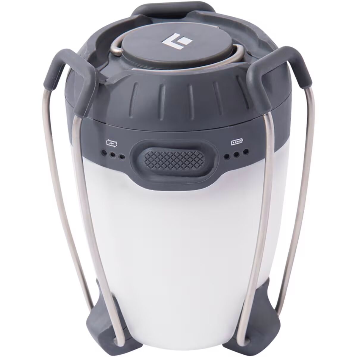
- Black DiamondBlack Diamond Apollo Lantern$48.96
$69.95Check price at Back Country (opens in a new tab)
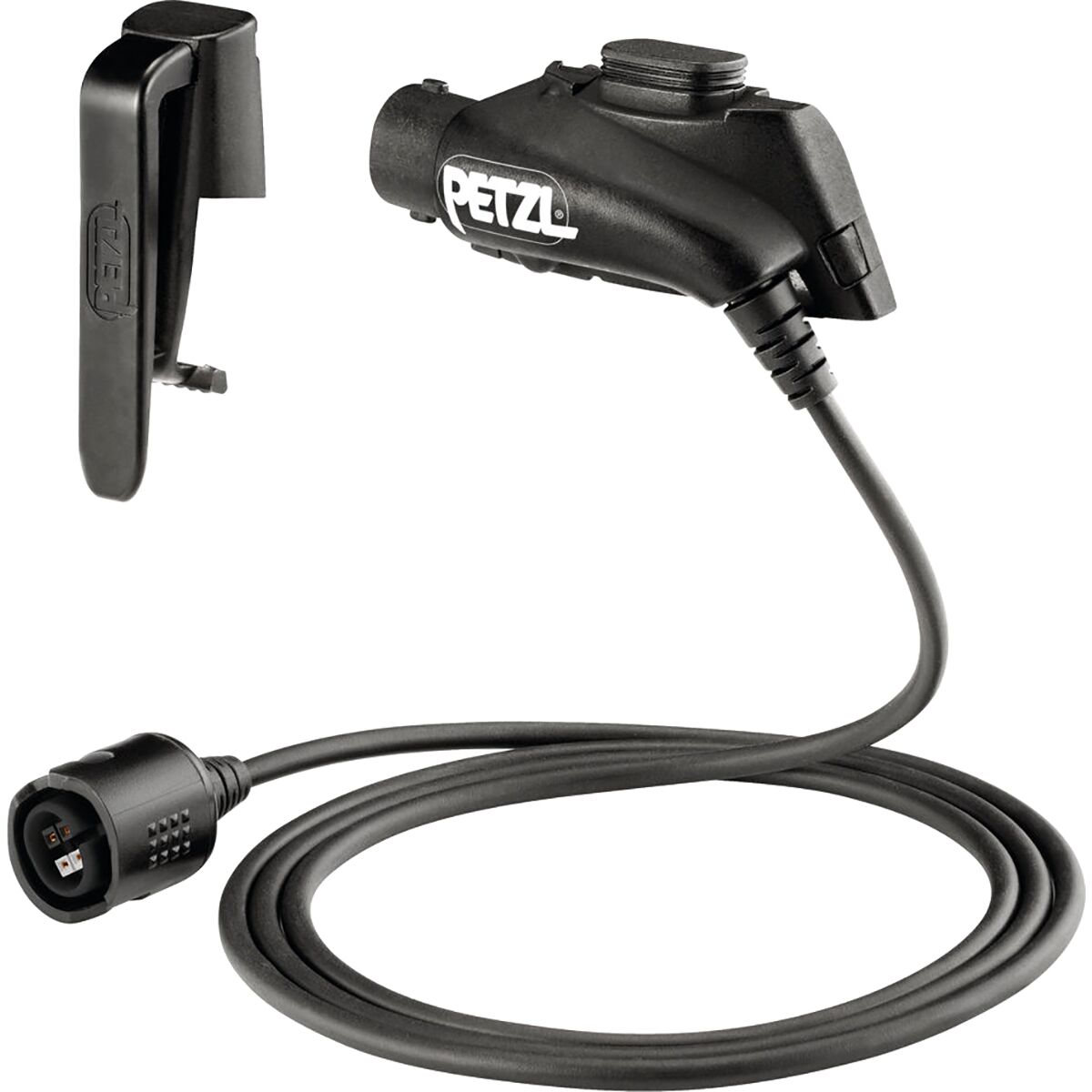
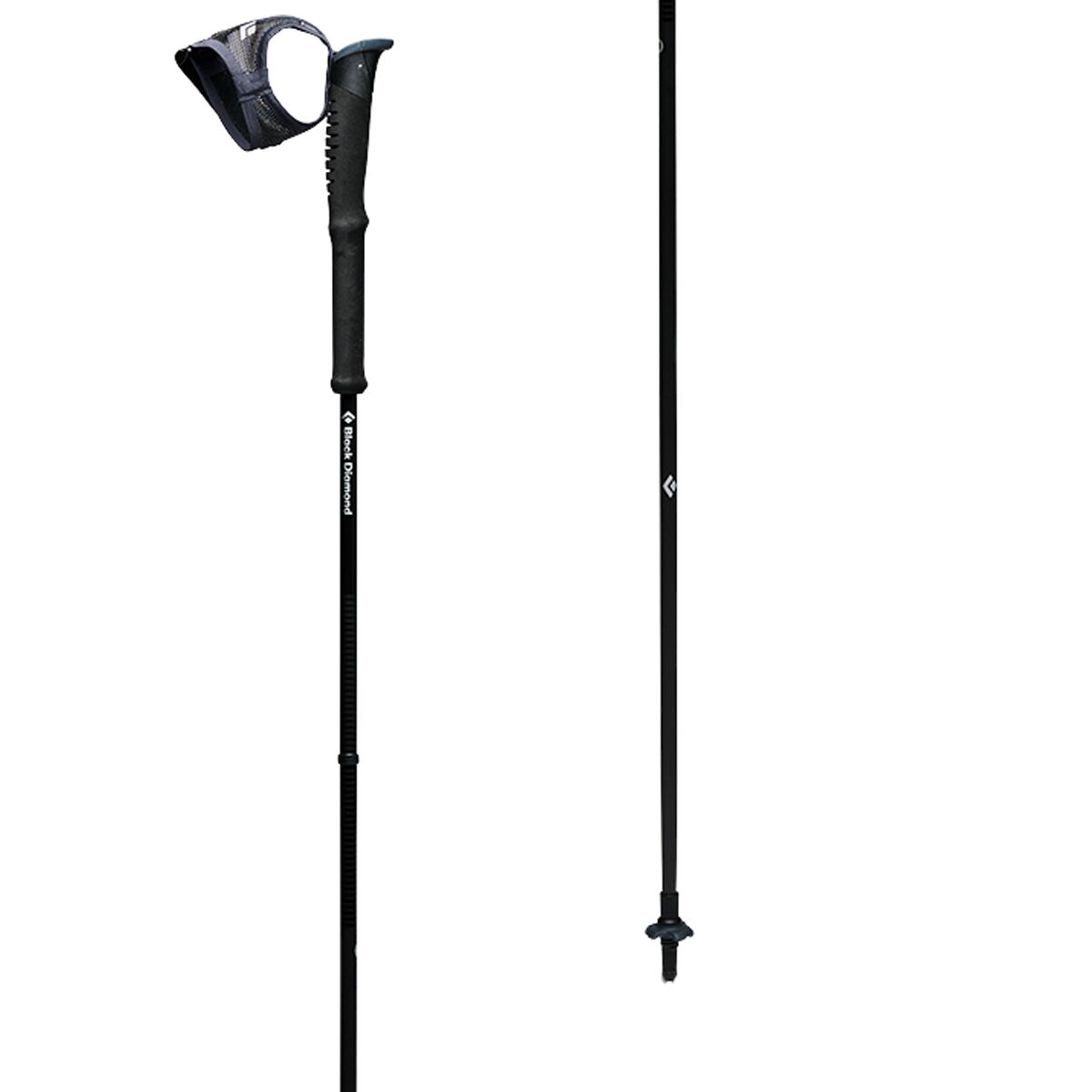

On the Northeast Ridge, you cannot simply walk faster to escape lightning.
When exposed downclimbing and route-finding are unavoidable, a marginal afternoon forecast may be reason to stay below the technical ridge entirely. Illustrative storm image; not Pyramid Peak.
Maroon Lake, the amphitheater and Pyramid Peak
Summit coordinates: approximately 39.07169, −106.95017.
Start: Maroon Lake trailhead, approximately 9,600 feet. The approach follows the Crater Lake trail before turning south to Pyramid’s amphitheater and Northeast Ridge.
This embedded map marks the summit only; it does not draw the safe climbing route. Carry current route photos and an offline topographic track and reassess every section in actual conditions.
Should Pyramid be your next Colorado mountain?
Compare yourself with the demands of the route rather than treating its 8.25-mile length as the decisive measurement.
| Preparation area | Readiness evidence | When to choose another objective |
|---|---|---|
| Exposed scrambling | Repeated confident Class 3 movement and controlled downclimbing | If you have only done trail 14ers or become immobilized by exposed terrain |
| Route-finding | Ability to match an offline topographic map and photo sequence to real ridges, ledges and gullies | If you depend on following other climbers or a phone’s blue dot |
| Loose-rock management | Helmet use, spacing, patient movement and deliberate rock-testing habits | If your party moves too close together or lacks rockfall awareness |
| Fitness | Enough alpine endurance to keep a large descent and weather buffer after 4,500 feet of gain | If your training only covers shorter trail climbs |
| Logistics | Correct early parking arrangement, forecast review, current condition reports and emergency plan | If any essential access or weather decision remains unresolved on climb day |
Build the judgment that carries beyond Pyramid.
These non-ranking educational links address distinct skills. Broader Colorado comparisons remain in the dedicated cluster below.
Connect Pyramid to the Elk Range and your next progression step.
Pyramid owns its Class 4 Northeast Ridge, Maroon Lake approach, technical hazards and permit logistics. These pages address different mountains or broader comparison and skill decisions.
Verify the next climb-day decision with an authoritative source.
Published route figures and 2026 access arrangements are a starting point. Current conditions, reservation requirements, snow and road restrictions can change after the page is published.
14ers.com Northeast Ridge
Current Class 4 rating, LiDAR elevation, route figures, risk factors and photograph-by-photograph landmarks.
Open route source →Visit Maroon Bells
Managed-season vehicle restrictions, parking reservation categories, pre-dawn arrival rules and shuttle logistics.
Check current parking →Recreation.gov
Crater Lake designated-campsite reservations, Wilderness overnight permit rules and bear-storage requirements.
Check overnight permits →Pyramid Peak FAQ
These answers use current published route information and 2026 reservation references. Recheck both before your trip.
How difficult is Pyramid Peak?
The standard Northeast Ridge is Class 4 with high exposure, rockfall, route-finding difficulty and commitment. It is intended for experienced scramblers who already move confidently on exposed Class 3 terrain.
How long is the Pyramid Peak hike?
14ers.com lists the Northeast Ridge from Maroon Lake at approximately 8.25 miles round trip with 4,500 feet of elevation gain. The upper thousand feet is complex scrambling and can take much longer than similar-distance hikes.
What is the elevation of Pyramid Peak?
Current 14ers.com LiDAR data lists Pyramid Peak at 14,029 feet. Older guides commonly list 14,018 feet.
Do I need a reservation for Pyramid Peak?
Pyramid Peak does not have a separate standard-route climbing permit described here, but access through Maroon Bells Scenic Area requires an appropriate trailhead parking or shuttle reservation during the managed season. Day climbers using a private vehicle generally need an early-arrival parking reservation. Overnight campers in the Crater Lake permit zone need a separate wilderness camping reservation.
Can I camp at Crater Lake before climbing Pyramid Peak?
Yes, if you obtain a Maroon Bells–Snowmass Wilderness overnight permit for a designated Crater Lake campsite and separately arrange trailhead parking or shuttle transportation. Rules for approved bear-resistant food storage and campfires apply.
Is Pyramid Peak suitable as a first Class 3 or Class 4 mountain?
No. Its standard route combines loose Elk Range rock, exposed Class 3 and Class 4 movement, difficult navigation and an equally complex descent. Build exposure and route-finding experience on other peaks first or seek qualified professional instruction.
Is the “Leap of Faith” the only hard part?
No. It is a recognizable landmark, but exposed ledges, loose gullies, the greenish rock band, route decisions and descending the entire ridge are also serious parts of the climb.
What is the best time of year to climb Pyramid Peak?
Experienced dry-rock parties commonly target July through September, depending on the actual snowpack, rock conditions and weather. Snow or ice can make the route much more technical; recent snowfall, lightning or wet rock may make a planned day unsuitable.
Was this helpful?
🏔Related peaks nearby
🧭Explore & compare
Global Summit Guide is an independent mountaineering resource founded in 2026. The team combines first-hand trekking and climbing experience with in-depth research and professional health and nutrition review to help climbers choose objectives, prepare properly, and stay safe.
Health, altitude, and nutrition content is reviewed by Taylor Ludlow (Registered Nurse) and Brigg Hoopes (Nutritionist).
What We Don't Know Yet
Mountain information changes quickly. This box explains the limits of what this page can responsibly promise.
- Visa, passport, vaccination, border, insurance, and local transportation rules may change before your trip.
- Route conditions, snowpack, closures, and weather can change quickly after this page is updated.
- Permit rules, fees, quotas, and reservation windows may change between review cycles.
- Operator availability, pricing, guide ratios, and cancellation terms can change by season.
- Your fitness, altitude response, risk tolerance, and experience level may change what is safe or realistic.
Verify current conditions with official land managers, guide services, local forecasts, and current route reports before booking or climbing.
Mountaineering, rock and ice climbing, glacier travel, and high-altitude activity are inherently dangerous and can result in serious injury or death. The information on Global Summit Guide is provided for general informational and educational purposes only and is not a substitute for professional instruction, qualified guiding, proper equipment, or your own judgment and experience.
Route conditions, weather, snowpack, permits, regulations, and hazards change constantly and may differ from what is described here. Details may be incomplete, out of date, or contain errors. Always verify current information with local authorities, certified guides, and official sources before making any decision in the mountains.
Nothing on this site is medical, legal, or financial advice. Our fitness, acclimatization, altitude, and nutrition content is general in nature; consult a qualified physician before beginning any strenuous exercise program or exposing yourself to high altitude.
You are solely responsible for your own safety and decisions. To the fullest extent permitted by law, Global Summit Guide and its team accept no liability for any loss, injury, damage, or expense arising from use of, or reliance on, this information. By using this site you acknowledge these risks and accept these terms.
Some links on this site may be affiliate links. If you buy through them we may earn a small commission at no extra cost to you; this never affects our recommendations.
Global Summit Guide recommendation path
Next Best Mountain to Research
Use these recommendations to continue the right planning path instead of stopping on one page.
Use current permit, weather, route, and operator information before booking or climbing.