
Last updated October 3, 2026
Kebnekaise Hike 2026: Western Route, Summit & Sweden’s Highest Mountain
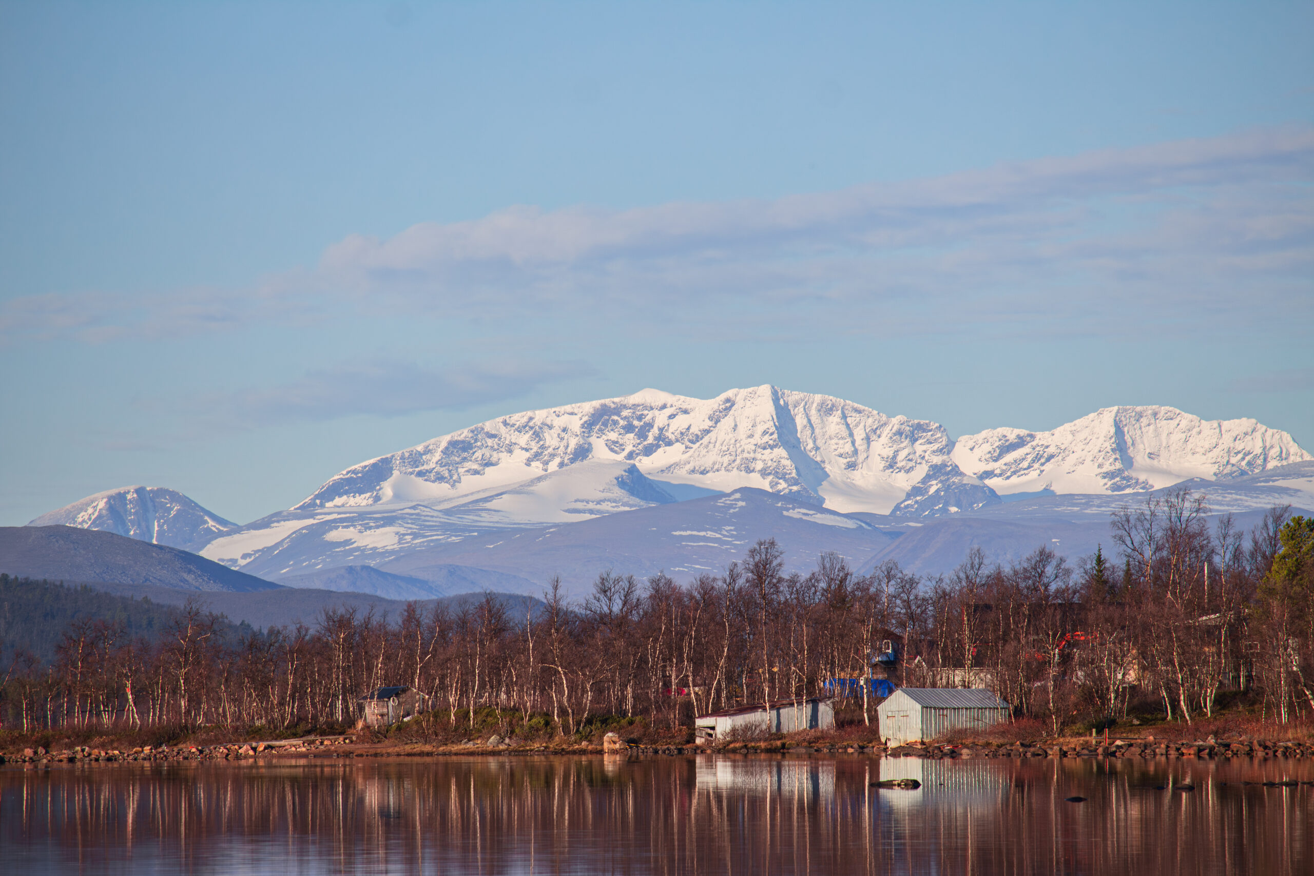
Kebnekaise is Sweden’s highest mountain massif, but the summit story is unusual: the fixed North Peak is Sweden’s highest point at 2,096.8 m, while most summer hikers aim for the glaciated South Peak by the long Western Route from STF Kebnekaise Mountain Station.
What Is the Best Route Up Kebnekaise in 2026?
The Western Route is the standard summer hiking route. It avoids glacier travel and technical climbing, but it is a major mountain day: roughly 18 km round trip, about 1,800 meters of cumulative ascent and often 10–15 hours.
The Eastern Route is not the normal 2026 choice. STF guided South Peak tours use the Western Route because rockfall, crevasse development and changing snow/ice conditions have increased risk on the Eastern Route.
If your goal is Sweden’s actual highest fixed point, the North Peak is a different and more technical alpine objective.
South Peak ≠ highest fixed point
South Peak: normal hiking objective by Western Route.
North Peak: Sweden’s highest fixed point and a more technical alpine goal.
Eastern Route: guided STF trips remain paused in 2026.
North Peak vs South Peak
Climate-driven ice loss changed which summit point is highest.
Fixed rock summit. Sweden’s highest point. Reaching it is substantially more technical than the normal hiking route.
Ice-covered summit measured September 11, 2026. This is the normal hiking summit via the Western Route.

Western Route: The Six-Part Day
1. Leave the mountain station
Follow the established western approach into rougher alpine terrain.
2. Climb Vierranvárri
A major early ascent that becomes important again on the return.
3. Descend to Kaffedalen
You lose elevation before climbing toward Kebnekaise itself.
4. Climb the upper mountain
Rock, snow patches, wind and visibility become increasingly important.
5. Reach South Peak
The final section can feel very different in whiteout, snow or strong wind.
6. Re-climb Vierranvárri
The return is not all downhill—one reason pace management matters so much.

Why 18 km Feels Much Bigger Here
Fresh legs.
Large gain.
Lose elevation.
Weather exposure.
Not the end.
Climb again.
Western vs Eastern Route vs North Peak
These are not interchangeable versions of the same hike.
| Objective | Style | Technical level | 2026 status | Best for |
|---|---|---|---|---|
| Western Route → South Peak | Long mountain hike | Non-technical in suitable conditions | Standard route | Strong mountain hikers |
| Eastern Route → South Peak | Glacier / alpine route | More technical | STF guided trips paused | Only with appropriate alpine skills/guidance |
| North Peak | Technical alpine objective | Advanced | Sweden’s highest fixed point | Experienced alpinists / guided parties |

Kiruna → Nikkaluokta → Mountain Station
Kiruna
Main gateway by air and rail.
Nikkaluokta
The road-access endpoint and start of the mountain approach.
19 km approach
STF estimates about 6–8 hours on foot. Summer boat service can shorten the walking distance by roughly 6 km.

July and August Are the Simplest Hiking Months
June
Long days but more lingering snow and more wintry footing.
July–August
Main hiking window with strongest access and lowest winter-condition probability.
September
Quieter, colder and more likely to bring fresh snow and icy mornings.


Can a Fit Beginner Hike Kebnekaise?
Yes—if “beginner” means new to major summits, not new to long mountain days.
Endurance
10–15 hours and roughly 1,800 meters of cumulative ascent.
Navigation
Good visibility simplifies the route; cloud and snow can transform it.
Weather
Cold rain, wind and sudden snow are realistic in summer.
Kebnekaise Summer Gear
For wind-driven rain and sudden cold.
Pack for summit wind, not valley temperature.
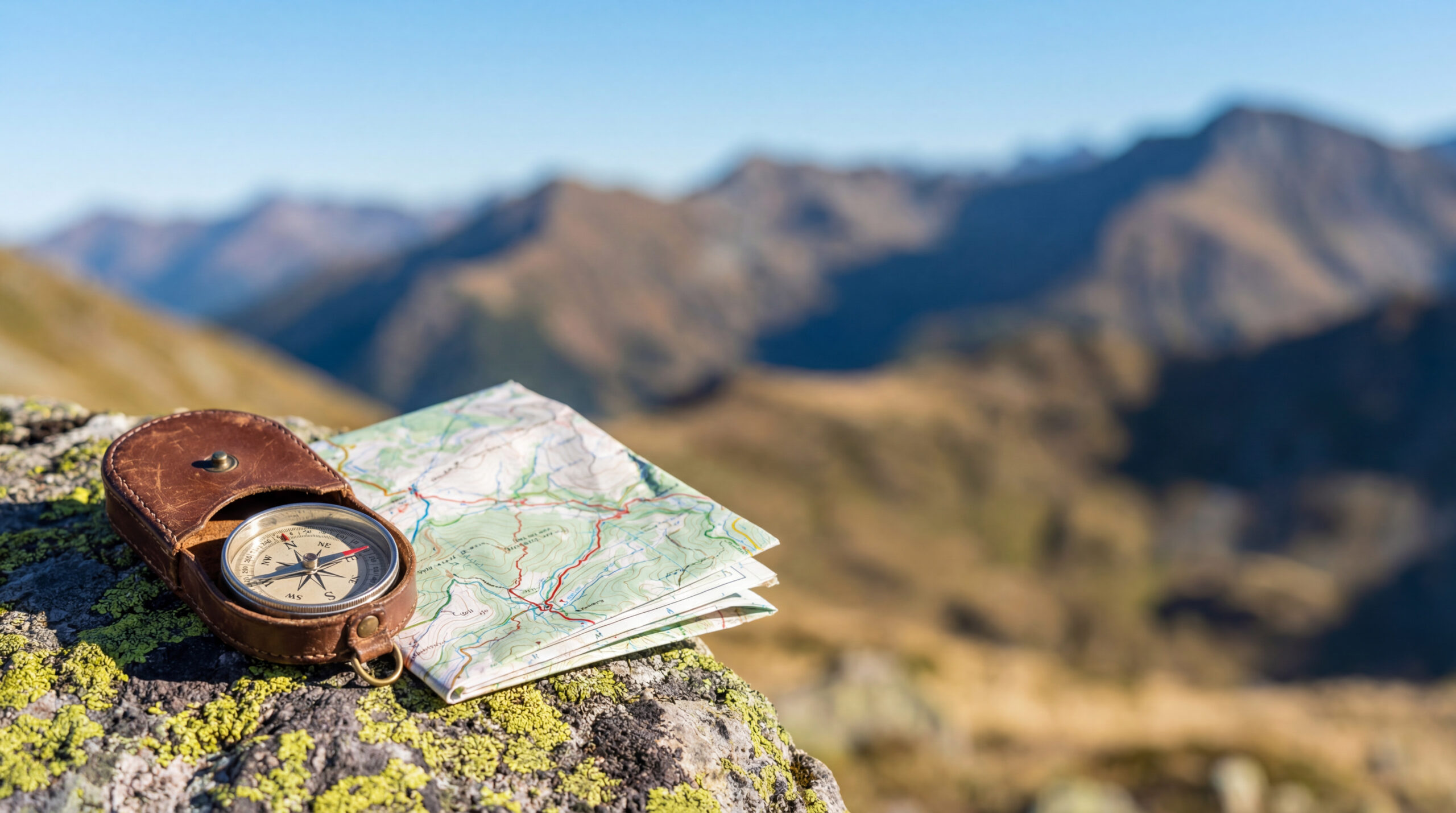
Offline GPS plus map/compass backup.
Helpful on the long descent and re-ascent.
Carry one even with long northern daylight.
Plan for a 10–15 hour day.
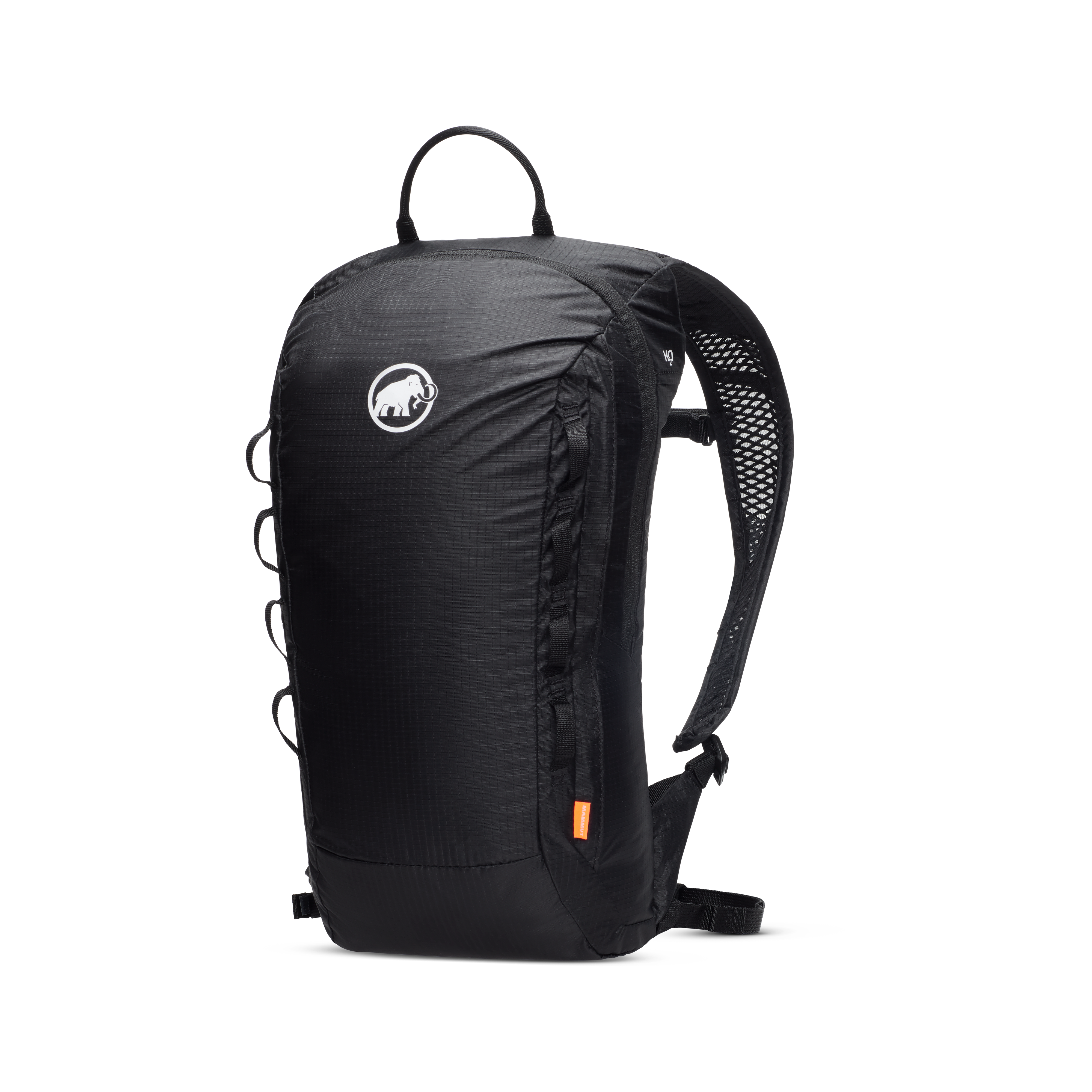
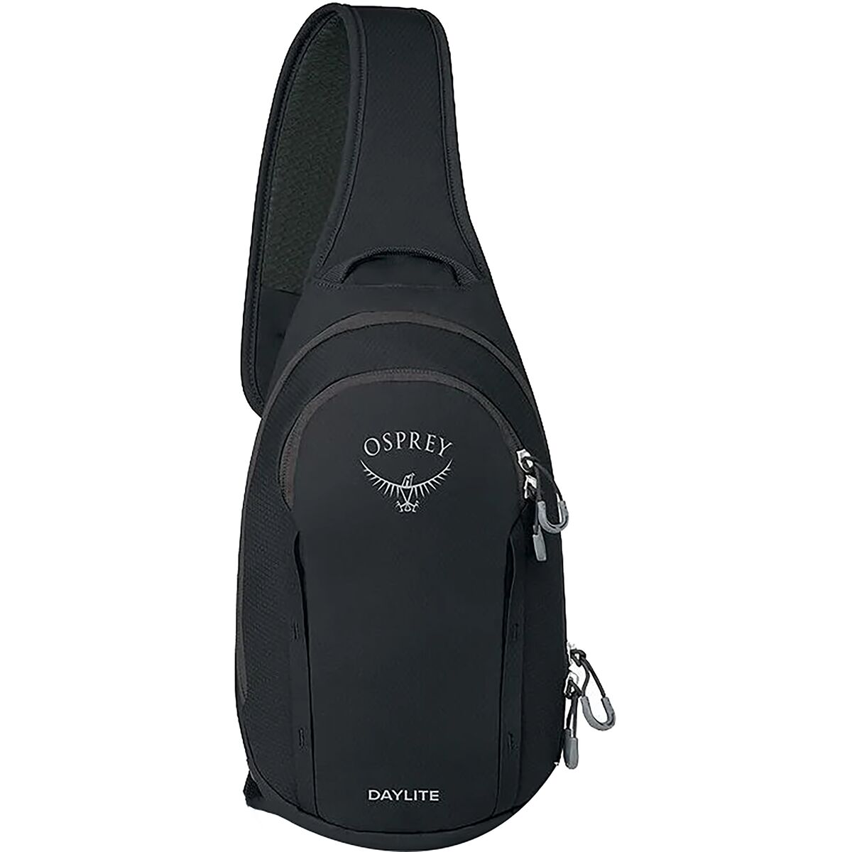
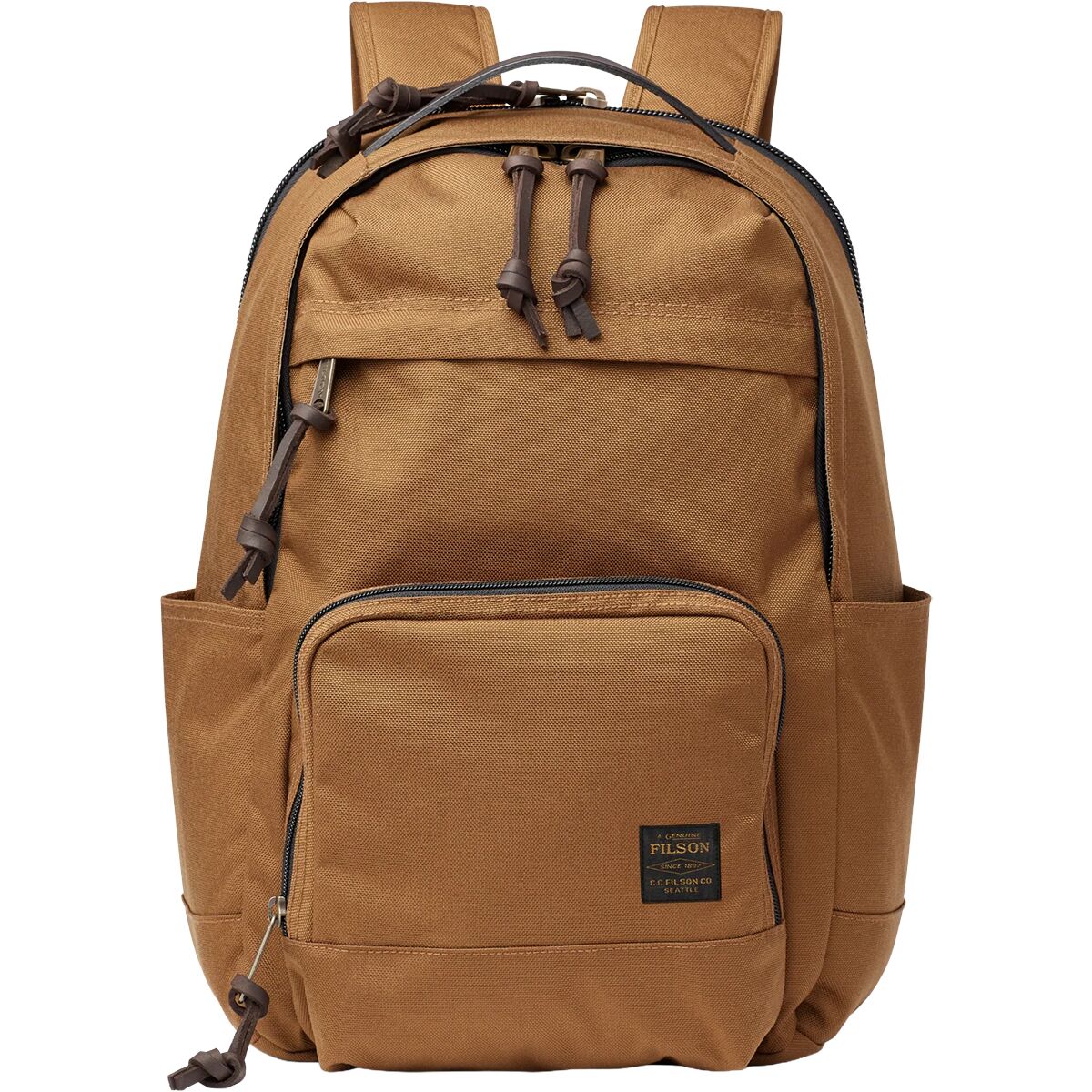
Recommended partner gear:
Kebnekaise Hiking Gear
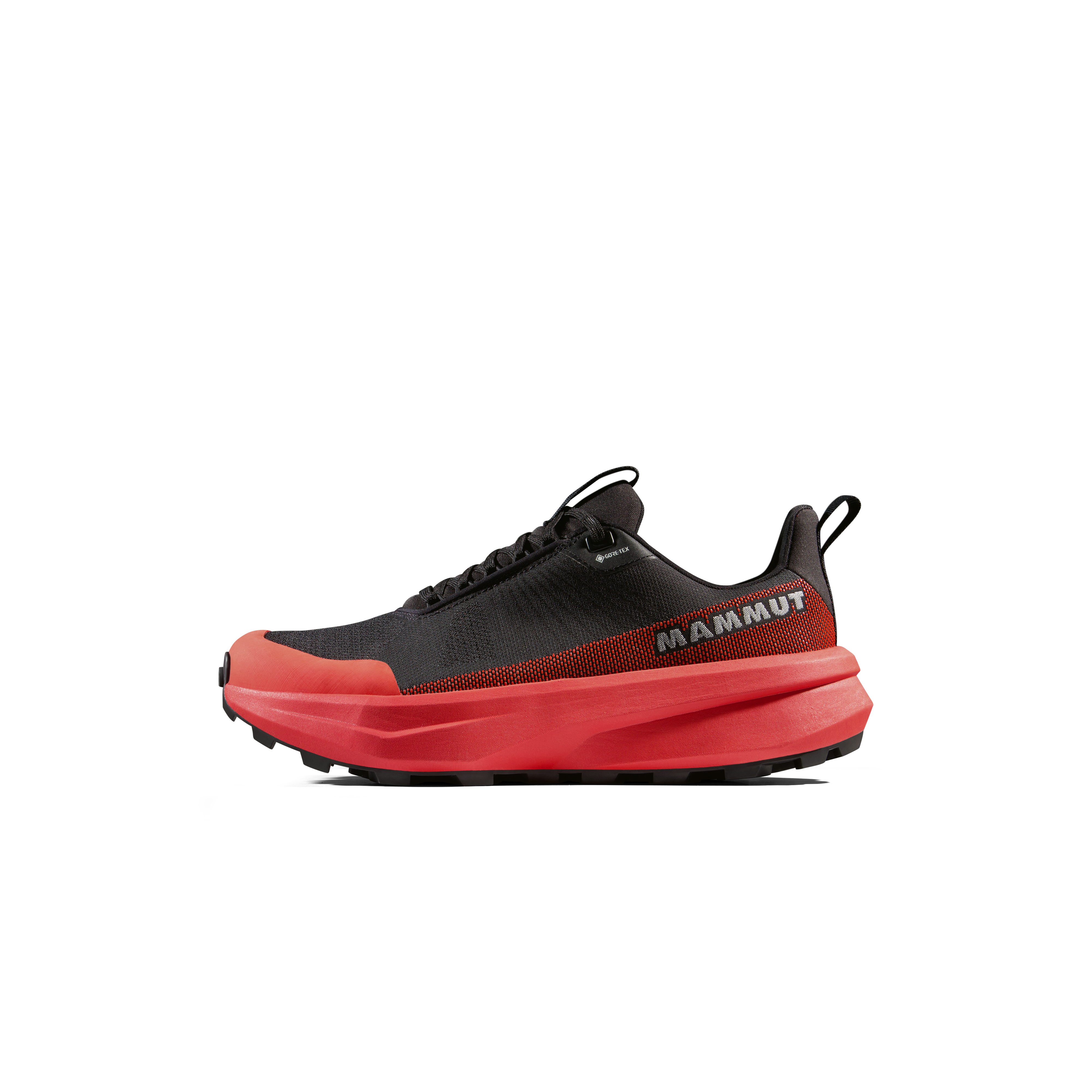
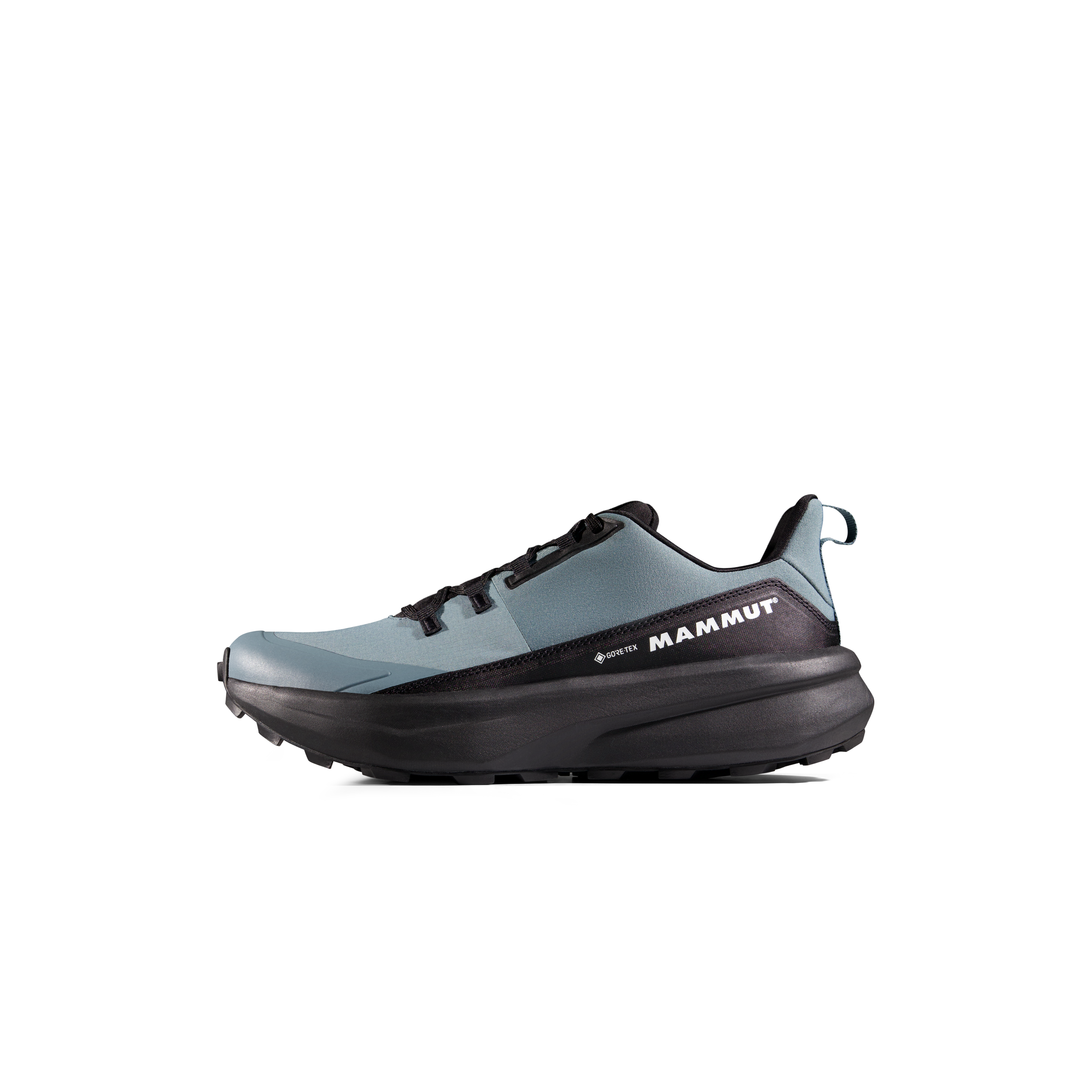

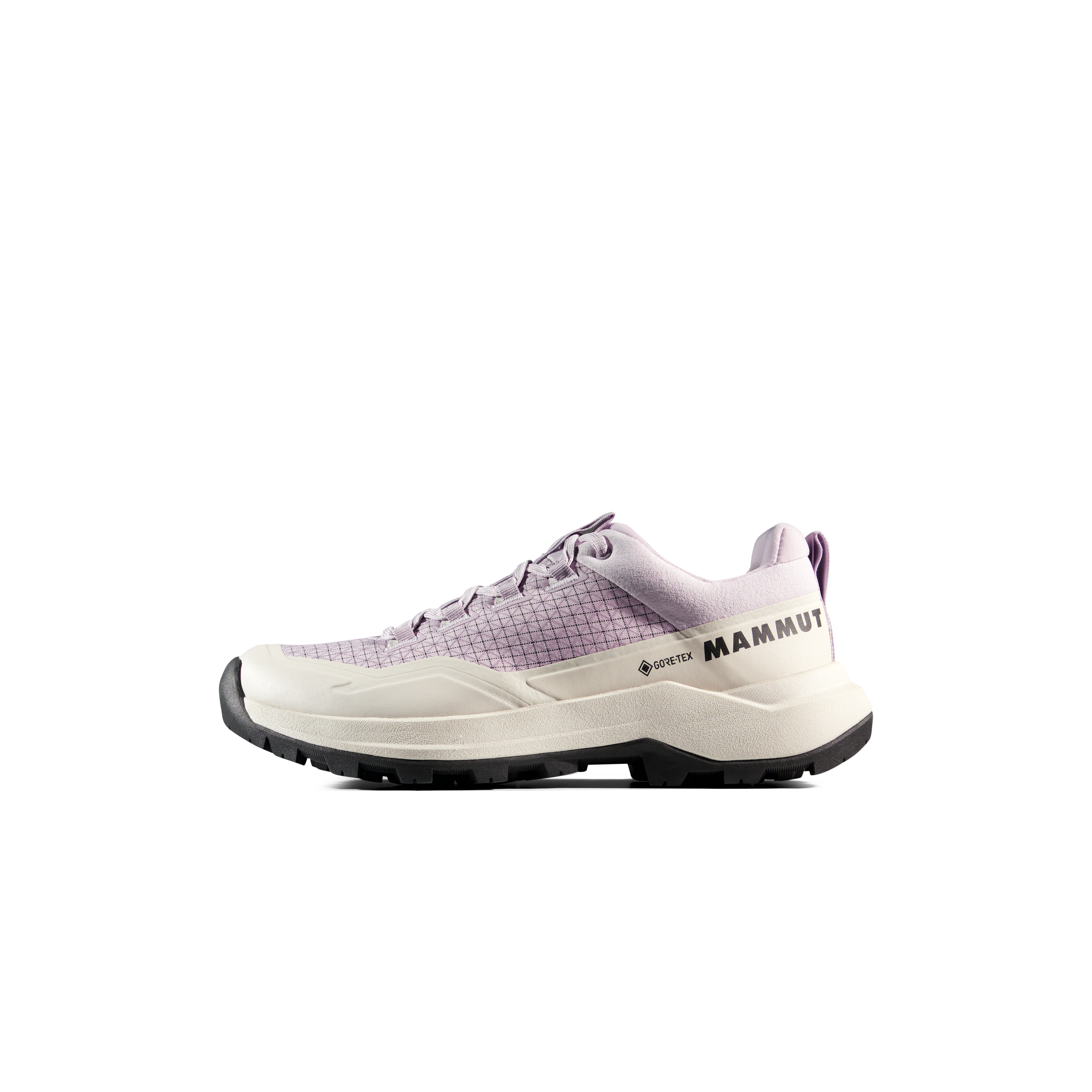
We may earn a commission if you buy through these links, at no extra cost to you. Affiliate disclosure
Cold and wet-weather extras:
Swedish Lapland Weather Gear
A Five-Day Kebnekaise Plan
Day 1
Kiruna → Nikkaluokta → mountain station.
Day 2
Primary Western Route summit day.
Day 3
Weather reserve or recovery.
Day 4
Return to Nikkaluokta.
Day 5
Kiruna travel buffer.
Why this works
Arctic weather decides the actual summit day.
Kebnekaise Map
Regional orientation only. Use current STF route information and detailed mapping for summit navigation.
Kebnekaise Questions
What is the highest point in Sweden?
Kebnekaise’s fixed North Peak is 2,096.8 m. The ice-covered South Peak measured 2,088.3 m on September 11, 2026.
What is the normal route?
The Western Route from STF Kebnekaise Mountain Station is the standard summer hiking route.
Is the Eastern Route open for guided climbs in 2026?
STF guided South Peak trips use the Western Route in 2026; guided Eastern Route trips remain paused.
Do I need a guide?
Not normally for the Western Route in suitable conditions if you have mountain fitness and navigation skills. The North Peak and Eastern Route are more technical.
How many days should I plan?
Five days is a strong minimum because it preserves a weather reserve.
Continue Planning
Current Kebnekaise Sources
- Swedish Tourist Association (STF): route, access and 2026 guided-route status.
- Stockholm University / Tarfala Research Station: September 11, 2026 South Peak measurement.
Verification date: October 2, 2026.
Was this helpful?
🏔Related peaks nearby
🧭Explore & compare
Global Summit Guide is an independent mountaineering resource founded in 2026. The team combines first-hand trekking and climbing experience with in-depth research and professional health and nutrition review to help climbers choose objectives, prepare properly, and stay safe.
Health, altitude, and nutrition content is reviewed by Taylor Ludlow (Registered Nurse) and Brigg Hoopes (Nutritionist).
What We Don't Know Yet
Mountain information changes quickly. This box explains the limits of what this page can responsibly promise.
- Route conditions, trailhead access, crevasse exposure, stream crossings, and rescue access may vary from published planning guidance.
- Route conditions, snowpack, closures, and weather can change quickly after this page is updated.
- Permit rules, fees, quotas, and reservation windows may change between review cycles.
- Operator availability, pricing, guide ratios, and cancellation terms can change by season.
- Your fitness, altitude response, risk tolerance, and experience level may change what is safe or realistic.
Verify current conditions with official land managers, guide services, local forecasts, and current route reports before booking or climbing.
Mountaineering, rock and ice climbing, glacier travel, and high-altitude activity are inherently dangerous and can result in serious injury or death. The information on Global Summit Guide is provided for general informational and educational purposes only and is not a substitute for professional instruction, qualified guiding, proper equipment, or your own judgment and experience.
Route conditions, weather, snowpack, permits, regulations, and hazards change constantly and may differ from what is described here. Details may be incomplete, out of date, or contain errors. Always verify current information with local authorities, certified guides, and official sources before making any decision in the mountains.
Nothing on this site is medical, legal, or financial advice. Our fitness, acclimatization, altitude, and nutrition content is general in nature; consult a qualified physician before beginning any strenuous exercise program or exposing yourself to high altitude.
You are solely responsible for your own safety and decisions. To the fullest extent permitted by law, Global Summit Guide and its team accept no liability for any loss, injury, damage, or expense arising from use of, or reliance on, this information. By using this site you acknowledge these risks and accept these terms.
Some links on this site may be affiliate links. If you buy through them we may earn a small commission at no extra cost to you; this never affects our recommendations.
Global Summit Guide recommendation path
Next Best Mountain to Research
Use these recommendations to continue the right planning path instead of stopping on one page.
Use current permit, weather, route, and operator information before booking or climbing.
Explore Travel Options for Your Destination
Once your mountain, dates and route are taking shape, compare flights, hotels and other travel options that fit the trip.
Affiliate link. We may earn a commission at no additional cost to you.