web analytics

Tag: rockfall

  • Causes of Mountaineering Deaths: What Actually Kills Climbers?

    Mountaineers moving through steep snow and glaciated alpine terrain
    Falls · avalanche · altitude illness · exposure · rockfall · medical events · descent

    What Actually Kills Climbers? The Real Causes of Mountaineering Deaths

    There is no universal “number-one killer” across every mountain activity. Falls dominate some alpine-mountaineering datasets. Avalanche and serac collapse dominate many mass-casualty disasters. Above 8,000 metres, altitude, exhaustion and descent become much more important. And if the population includes mountain hikers, sudden cardiac death changes the picture again.

    80.9%Swiss fatal cases: falls
    5.3%Swiss fatal cases: rockfall
    56%Everest 8,000m deaths on descent
    113Everest trauma deaths studied
    ~50%Hiking fatalities: cardiac in older study
    The direct answer

    The Cause Changes With the Kind of Climbing.

    On ordinary Alpine mountaineering routes, falls can dominate fatality records. In the Swiss Alps study of 303 fatal high-altitude mountaineering emergencies from 2009–2021, 245—80.9%—were caused by falls. Rockfall was a distant second at 5.3%, followed by stranding at 3.3% and avalanche at 3%.

    That does not mean avalanches are unimportant. Avalanche, serac and icefall events dominate many of mountaineering’s largest single disasters because one release can hit an entire camp or crowded route. At extreme altitude, the pattern changes again: Everest research shows a mix of trauma, disappearance, altitude illness, hypothermia and sudden death, with the descent phase especially dangerous.

    Alpine routesFalls dominate many fatal datasets
    Mass disastersAvalanche / serac / icefall dominate
    8,000 mAltitude + fatigue + descent compound
    Rock climbingFall trauma + rock/hold/belay triggers
    Mountain hikingFalls + cardiac events matter
    Glaciated peaksCrevasse + weather + cold join the mix
    The biggest statistical mistake: combining hikers, rock climbers, guided glacier clients, Alpine 4,000er climbers and Himalayan expedition members into one percentage. Their exposure, age, terrain and failure modes are different.
    Three datasets · three different answers

    “What Kills Climbers?” Depends on Who You Count.

    The most useful way to read mountaineering fatality data is source by source. Combining unlike populations produces confident-looking numbers that mean very little.

    80.9%

    Swiss High-Altitude Mountaineering

    Among 303 fatal emergencies from 2009–2021, 245 were falls. Rockfall caused 16 deaths, stranding 10 and avalanches 9. Nearly two-thirds of fatal falls occurred during descent.

    113 / 52 / 27

    Everest Above Base Camp

    In the BMJ study covering 1921–2006, 113 deaths involved trauma, 52 were non-traumatic high-altitude illness / hypothermia / sudden death, and 27 climbers disappeared and were never found.

    ~50%

    Mountain Hiking

    Austrian research found sudden cardiac death accounted for about half of mountain-hiking fatalities in the population studied. That is a very different activity and demographic from technical alpinism.

    Why mountaineering death causes depend on the dataset Three panels show Swiss high-altitude mountaineering fatal emergencies dominated by falls, Everest deaths above base camp split between trauma, non-traumatic causes and disappearance, and mountain hiking in an older Austrian study with roughly half of deaths sudden cardiac. DO NOT TURN THESE INTO ONE UNIVERSAL PIE CHART Swiss high-altitude mountaineering · fatal emergencies 2009–2021 Falls 80.9% · Rockfall 5.3% · Stranding 3.3% · Avalanche 3.0% · Other 7.5% Everest above base camp · deaths classified 1921–2006 Trauma 113 · Non-traumatic 52 · Disappearance 27 · total classified framework 192 Mountain hiking · older Austrian fatality research About half of hiking fatalities were sudden cardiac deaths in the population studied; this is not a technical-climbing estimate. The answer changes with activity, terrain, altitude, age, exposure and how the database defines “cause.”

    Source-specific visual only. The three bars use different populations and classifications and should not be combined into one global fatality percentage.

    Context before percentage

    The Cause-of-Death Matrix

    This is a qualitative synthesis of the evidence—not a global ranking. It shows which mechanisms become more prominent as terrain and altitude change.

    ActivityFalls / traumaAvalanche / seracAltitude illnessExposure / coldMedicalTypical compounding factors
    Mountain hikingMajorSeasonalUsually low unless high altitudeWeather dependentMeaningful, especially older hikersDescent fatigue, terrain, cardiac disease, weather
    Rock climbingDominant severe mechanismLow on pure rockLowPossible on long routesUsually secondaryProtection, belay error, hold failure, rockfall
    Alpine 4,000ersVery importantRoute dependentPossibleImportant in stormsPossibleDescent fatigue, route-finding, hard snow, rockfall
    Glaciated expedition peaksMajorMajor objective hazardIncreasingIncreasingPossibleCrevasses, weather, remoteness, rescue delay
    8,000 m peaksMajorMajor on some routesCriticalCriticalHard to separate from hypoxia/exhaustionLate summit, descent, oxygen loss, cognitive decline
    Mass-casualty disastersCan occurDominant among largest eventsUsually not primary triggerStorm events can dominateRare as group triggerCamp concentration, route bottlenecks, regional triggers
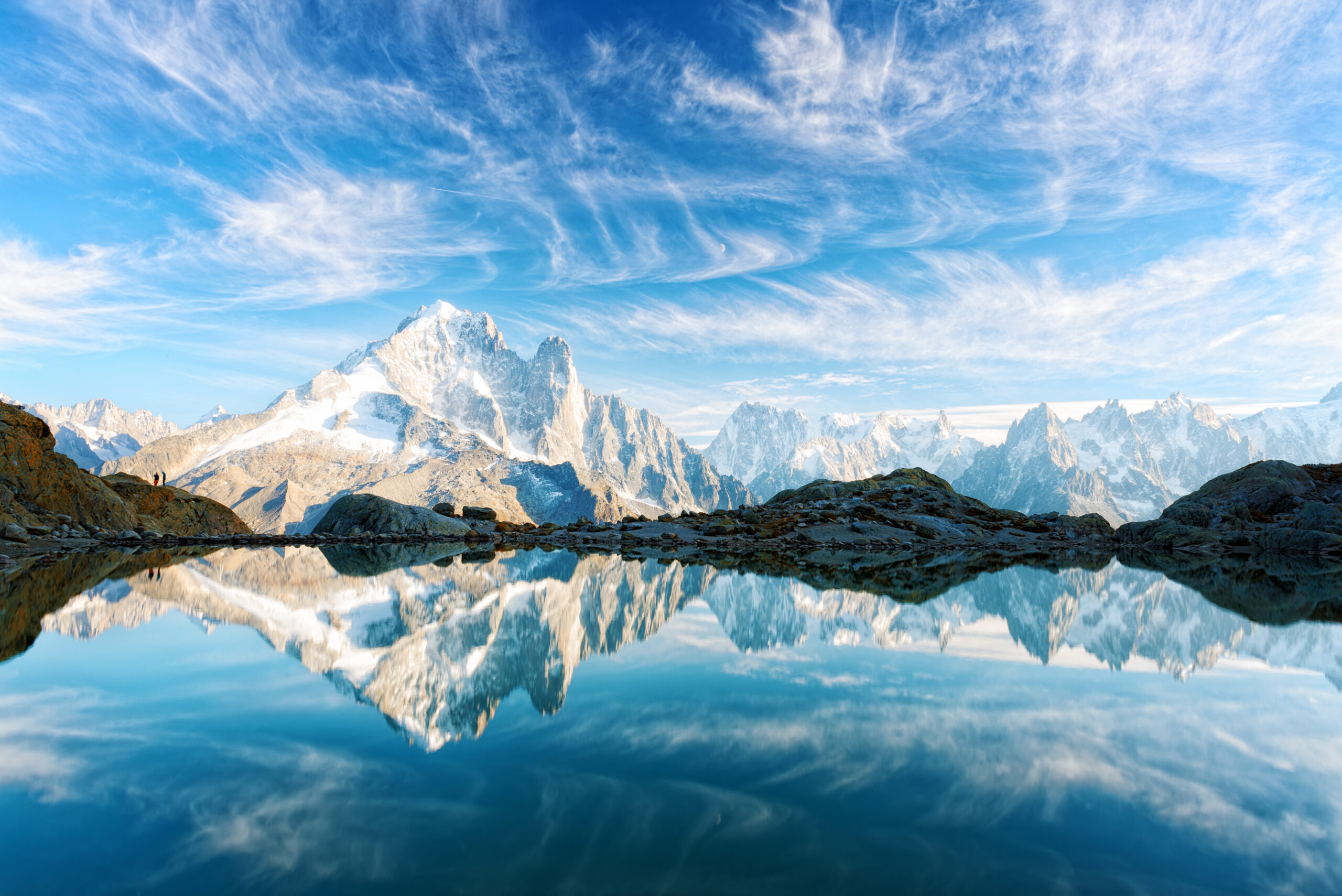
    Mont Blanc massif and alpine terrain where falls, rockfall, weather and altitude interact
    The Alps reveal the fall problem

    The Fatal Mechanism Is Often a Fall. The Reason for the Fall Can Be Something Else.

    A climber may fall because of fatigue, loose rock, hard snow, a broken hold, poor protection, route-finding, weather or a rushed descent. Accident databases often code the final mechanism as “fall,” but prevention requires understanding the chain that came before it.

    Cause 1 · falls and trauma

    Falls Are the Clearest Leading Cause in Alpine Mountaineering Data.

    The strongest modern dataset in this article comes from the Swiss Alpine Club emergency registry: 303 fatal high-altitude mountaineering emergencies from 2009–2021.

    Swiss Alps80.9% falls

    A Fall Is Often the Final Event, Not the First Error.

    The Swiss study recorded 245 fatal falls among 303 fatal emergencies. Rockfall was second with 16 cases. Almost two-thirds of fatal falls happened during descent. The authors specifically discuss fatigue, reduced focus, acclimatization, fitness and tour planning as possible contributors.

    Direct mechanismFall / impact trauma
    Possible triggersSlip, hard snow, loose rock, navigation, fatigue
    Risk controlProtection, pace, terrain choice, descent reserve
    Rock climbingFalls dominate injury

    Rock-Climbing Fatalities Show the Same Layered Pattern.

    An Austrian analysis of 2,992 rock-climbing incidents found falls were the main injury mechanism and were often preceded by rockfall, stumbling, a grip or foothold breaking, or belaying error. In 140 fatal cases, multiple trauma and head injuries were most common.

    MechanismFall
    Upstream factorProtection / hold / rock / belay failure
    Lesson“Fall” alone is not a complete explanation
    Current UIAA context: the UIAA’s 2026 review of French SERAC accident data also says climber falls are by far the most frequent alpine accident type and cites French mountain-police data averaging about 24 deaths per year from falls in French mountain ranges.
    Cause 2 · avalanche, serac and icefall

    Not the Most Common Everywhere—But the Biggest Group Killer.

    Avalanche and ice events can look statistically small in ordinary alpine-fatality datasets while dominating the highest-casualty disasters in mountaineering history.

    Camp concentration

    One Avalanche Can Strike Dozens

    Lenin Peak 1990 killed 43 of 45 climbers in one high camp after an earthquake-triggered serac collapse. Nanga Parbat 1937 and Manaslu 1972 show the same camp-concentration problem.

    Route bottleneck

    Traffic Can Concentrate Exposure

    Everest’s Khumbu Icefall and K2’s Bottleneck place many climbers into narrow corridors beneath objective hazards. Timing may reduce exposure but cannot eliminate the hazard.

    Regional trigger

    Weather Is Not the Only Trigger

    Lenin Peak 1990, Huascarán 1970 and Everest 2015 were earthquake-triggered. A climber can make reasonable daily weather decisions and still face a rare regional trigger.

    Important distinction: “avalanches dominate the deadliest disasters” does not mean “avalanches cause most mountaineering deaths.” The first statement is about the extreme tail of single incidents; the second would require a unified global denominator that does not exist.
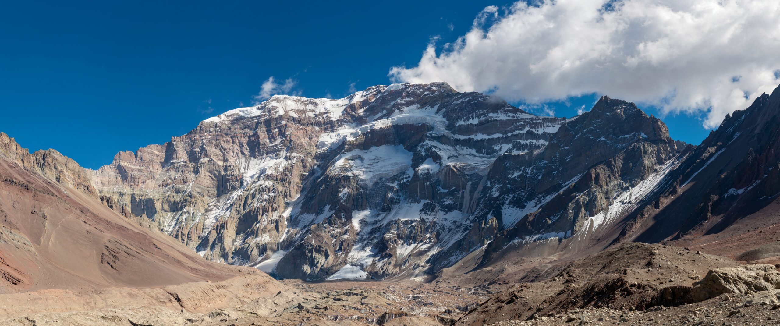
    Mount Everest and the high Himalayan environment where altitude and descent become major fatality factors
    Extreme altitude changes the equation

    Above 8,000 Metres, the Body Becomes Part of the Hazard System.

    Falls still occur, but exhaustion, hypoxia, cerebral dysfunction, oxygen-system problems, exposure and a delayed descent can become tightly linked. The final cause may be coded as a fall or disappearance even when physiological deterioration began first.

    Cause 3 · altitude illness and hypoxia

    Altitude Does Not Always Appear Neatly on the Death Certificate.

    The Everest record demonstrates why high-altitude fatalities are difficult to classify: cognitive decline, ataxia, exhaustion, falls and disappearance can overlap.

    Everest 1921–2006

    52 Non-Traumatic Deaths

    The BMJ study grouped high-altitude illness, hypothermia and sudden death together as 52 non-traumatic deaths above base camp, compared with 113 trauma-related deaths.

    Above 8,000 m

    Neurologic Signs Appeared Often

    Profound fatigue, cognitive changes and ataxia were frequently described in non-survivors—findings consistent with severe hypoxia and possible HACE in some cases.

    Prevention principle

    Fitness Does Not Equal Acclimatization

    CDC guidance states that physical fitness does not determine susceptibility to altitude illness. Rate of ascent, sleeping altitude and previous response matter much more.

    Medical rule: HACE and HAPE are life-threatening. CDC guidance emphasizes that worsening symptoms require descent, and a climber with altitude-illness symptoms should not continue ascending to a higher sleeping altitude.
    Causes 4–7

    Cold, Rockfall, Crevasses and Medical Events Fill the Rest of the Picture.

    These causes may be less dominant in one dataset but decisive on a specific route, season or climber population.

    Exposure & hypothermia

    Weather Can Convert Delay Into Death

    Cold becomes lethal when a climber is injured, lost, exhausted or forced to bivouac. Hypothermia is often the endpoint of a chain rather than an isolated planning error.

    Rockfall

    Both a Direct Cause and a Fall Trigger

    The Swiss dataset placed rockfall second among fatal high-altitude emergencies. It can kill by direct impact or knock a climber from terrain, making “fall” and “rockfall” classifications overlap conceptually.

    Crevasses

    Low Frequency Can Still Mean High Consequence

    Crevasse accidents were uncommon in the Swiss fatal dataset, but glaciated expeditions still require roped travel and rescue competence because one bridge failure can be catastrophic.

    Cardiac events

    Population Matters

    Austrian mountain-hiking research found sudden cardiac death was a major cause, especially among older men with known cardiovascular risk factors. Do not transfer that percentage directly to technical alpinists.

    Frostbite

    Usually Disabling Before It Is Fatal

    Denali’s recent medical summaries show frostbite remains common and can be severe, though it is more often an evacuation/amputation problem than a direct cause of death.

    Stranding

    A Situation Can Become a Cause

    The Swiss study coded 3.3% of fatal emergencies as stranding. Being unable to continue or retreat can expose climbers to cold, weather and exhaustion long enough for secondary mechanisms to become fatal.

    The repeated phase-of-climb signal

    The Descent Is Where Several Risks Converge.

    Different studies point to the same practical problem: after the summit or high point, fatigue rises while attention and margin often fall.

    ~⅔

    Swiss Fatal Falls

    Almost two-thirds of fatal falls in the 2009–2021 Swiss high-altitude mountaineering dataset occurred while descending.

    56%

    Everest Above 8,000 m

    Of 94 mountaineers who died after reaching 8,000 m, 53 died during descent from the summit.

    75.3%

    Austrian Hiking Falls

    Among 5,665 victims in a nine-year study specifically of fall-related hiking accidents, 75.3% fell during descent.

    These percentages are not directly comparable. They come from different activities and study designs. The consistent signal is the phase: descent repeatedly appears as a time when fatigue, attention, conditions and technical errors can compound.
    Mechanism versus cause

    A Fatality Usually Has More Than One “Cause.”

    Accident reports become more useful when they separate the final mechanism from the conditions and decisions that made it possible.

    Layer 1

    Exposure

    Steep snow, loose rock, serac, crevasse, altitude, storm, route bottleneck.

    →
    Layer 2

    Compounding factor

    Fatigue, late hour, poor acclimatization, route-finding, haste, equipment or communication problem.

    →
    Layer 3

    Fatal mechanism

    Fall, avalanche burial, trauma, HACE/HAPE, hypothermia, cardiac arrest or disappearance.

    Why this matters: if a report says only “fall,” it tells you what ended the accident. Prevention often depends on identifying why the climber fell and why the consequence became fatal.
    Evidence geography

    The Best Data Come From Different Mountain Systems.

    This article combines evidence from the European Alps, Mount Everest and North American expedition programs. It does not pretend those populations are interchangeable.

    Evidence orientation—not a risk map. The studies on this page come from different mountain systems and populations. A location shown on a world map is not an estimate of danger. Open larger map →
    Swiss AlpsHigh-altitude mountaineering fatal-emergency registry; strongest evidence here for falls and descent.
    Austrian AlpsRock-climbing, hiking and cardiac-event research with activity-specific populations.
    Mount EverestLong historical expedition dataset showing trauma, non-traumatic death and extreme-altitude descent patterns.
    Denali / Alaska RangeCurrent ranger medical summaries illustrate the mix of trauma, altitude illness, frostbite and hypothermia encountered on expeditions.
    Risk reduction, not risk elimination

    The Most Useful Prevention Targets the Chain.

    You cannot remove objective hazard from mountaineering. You can reduce how often multiple hazards line up at once.

    Falls

    Protect the Descent

    Keep enough time, strength and concentration for the way down. Use appropriate protection on terrain where a slip has fatal consequences.

    Avalanche / serac

    Reduce Time in the Line of Fire

    Choose route, season, camp and timing with objective hazard in mind. Accept that some serac and icefall risk cannot be engineered away.

    Altitude

    Control Ascent Rate

    Acclimatize, recognize symptoms and descend when illness worsens. Fitness does not provide immunity from HACE or HAPE.

    Exposure

    Preserve Weather Margin

    Turn around before delay forces an unplanned bivouac, darkness or prolonged storm exposure.

    Rockfall

    Manage Terrain and Traffic

    Wear a helmet, minimize time in gullies or beneath parties, and reassess routes during unusually warm or unstable periods.

    Medical

    Bring the Body You Actually Have

    Age, prior cardiovascular disease and chronic conditions matter. Medical readiness deserves the same honesty as technical readiness.

    Methodology & source boundaries

    Why This Page Does Not Publish One Global Death-Cause Percentage.

    Mountaineering accident systems are fragmented by country, activity and reporting method. The UIAA itself is working to improve international accident-data compatibility.

    Interpretation rule: when this page uses a percentage, it names the population and study behind it. No source located for this analysis supports a defensible worldwide percentage for “all climber deaths by cause.”
    Direct answers

    Causes of Mountaineering Deaths FAQ

    The correct answer depends on whether you mean hiking, rock climbing, alpine mountaineering or extreme-altitude expeditions.

    What is the most common cause of death in mountaineering?

    There is no universal answer across every mountain activity. In a 2009–2021 Swiss high-altitude mountaineering study, falls caused 80.9% of fatal emergencies. On very high Himalayan peaks, trauma, altitude illness, exposure, exhaustion and disappearance all contribute, while mountain hiking has a larger share of sudden cardiac deaths.

    Do more climbers die from falls or avalanches?

    In ordinary high-altitude alpine mountaineering, falls can far outnumber avalanche deaths. The Swiss Alps study found falls in 80.9% of fatal emergencies and avalanches in 3%. But avalanche and serac collapse dominate many of the largest mass-casualty mountaineering disasters.

    Why are descents so dangerous?

    Fatigue, reduced concentration, time pressure and deteriorating conditions often converge during descent. Nearly two-thirds of fatal falls in the Swiss study occurred on descent, while 56% of Everest mountaineers who died after reaching 8,000 m died during descent from the summit.

    How many mountaineering deaths are caused by altitude illness?

    There is no reliable global percentage. On Everest from 1921–2006, deaths above base camp included 52 non-traumatic deaths from high-altitude illness, hypothermia or sudden death, compared with 113 trauma-related deaths and 27 disappearances.

    Can very fit climbers die from altitude illness?

    Yes. Physical fitness does not determine susceptibility to acute altitude illness. The CDC emphasizes altitude, rate of ascent, acclimatization and prior response instead.

    How important is rockfall?

    Rockfall is context dependent. It accounted for 5.3% of fatal emergencies in the Swiss high-altitude study, but it can also trigger falls and therefore disappear statistically into a final “fall” classification.

    Do heart attacks kill climbers?

    Cardiac causes matter especially when the population includes mountain hikers and older participants. Austrian research identifies sudden cardiac death as a leading non-traumatic cause during mountain hiking, particularly among men with cardiovascular risk factors.

    What can climbers do to reduce fatal risk?

    Use appropriate training and protection, plan the descent as seriously as the ascent, manage avalanche and rockfall exposure, acclimatize gradually, check current weather and route conditions, use conservative turnaround decisions and honestly assess medical and technical readiness.
    Travis Ludlow, Global Summit Guide
    Research note

    Travis Ludlow · Global Summit Guide

    This article is a cross-dataset research synthesis. It keeps activity-specific populations separate rather than presenting one invented global percentage. Historical and medical claims are linked to the study or authority that supports them.

    High mountain landscape representing mountaineering risk research
    The useful question

    Do Not Ask Only “What Kills Climbers?” Ask “What Can Kill Me on This Route?”

    Global statistics are useful for patterns. Route-specific risk comes from the terrain, altitude, season, weather, team and descent you will actually face.
    Was this helpful?

    Yes
    No
    Thanks for your feedback!
  • Mont Blanc Conditions This Week: Goûter Route Update

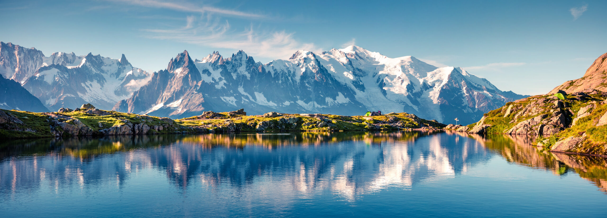
    Mont Blanc massif above the French Alps
    Mont Blanc · Goûter Route · Conditions watch · Checked September 17, 2026

    Mont Blanc Conditions This Week: Goûter Route Update

    The Goûter normal-route huts are open and staffed, but the Grand Couloir is not “cleared.” After the extreme 2026 summer, Saint-Gervais and FFCAM continue to stress that rockfall can still occur. Mid-September also shifts the problem toward shorter daylight, colder conditions, fresh snow and icing.

    Sep 17Last source check
    OpenTête Rousse
    OpenGoûter Refuge
    Oct 3Tête Rousse guarded to
    Oct 4Goûter guarded to
    The direct answer

    Open Does Not Mean Low-Risk.

    FFCAM lists the Tête Rousse and Goûter refuges as open in the guarded season after their August 26 reopening. The reopening ended the administrative closure, but the official notices explicitly say it does not guarantee the absence of rockfall.

    For this week, treat the Goûter Route as a late-season high-mountain objective with an unresolved objective-hazard problem in the Grand Couloir. The decision to climb should be based on fresh local observations, overnight freeze, recent rockfall, upper-mountain snow/ice, wind and the advice of the Office de Haute Montagne, hut staff or your guide.

    Normal-route hutsOPEN / GUARDEDCurrent FFCAM season
    Grand CouloirROCKFALL RISK REMAINSNo safety clearance implied
    Tête RousseTO OCT 3 · 07:00FFCAM guarded period
    Goûter RefugeTO OCT 4 · 07:00FFCAM guarded period
    September factorSHORTER / COLDERFresh snow or icing possible
    Final decisionLOCAL CHECK REQUIREDConditions change rapidly
    Current caution: Saint-Gervais says the mountain absorbed exceptional heat during five heatwaves and that reopening the refuges does not guarantee an absence of renewed rockfall or collapse. Their reopening notice says attempting the route in a cooler period would be more reasonable.
    Today’s regional high-altitude observation: Mont-Blanc Natural Resort reported around -1°C in the morning and 0°C in the afternoon at Aiguille du Midi (3,842 m) on September 17, with west wind around 23 km/h and generally sunny conditions with high cloud. This is a useful massif snapshot—not a summit or Grand Couloir forecast.
    The 2026 normal-route story

    Why This September Is Not a Normal “Open = Good” Season.

    The current route status makes more sense when you understand how the summer evolved.

    Early summer

    Repeated Heat

    Drought and successive heatwaves degraded high-mountain conditions across the massif and increased rockfall concern.

    Aug 7–11

    Major Rockfall Period

    Saint-Gervais reported significant rockfall on the Aiguille du Goûter / Grand Couloir sector.

    Aug 11

    Refuges Closed

    Tête Rousse and Goûter were closed while authorities, guides and hut staff responded to the objective hazard.

    Aug 26 onward

    Administrative Reopening

    The huts reopened after calmer conditions, but the official warning about renewed rockfall remained.

    Normal-route orientation

    Where the Grand Couloir Sits in the Goûter Route

    The route approaches from Saint-Gervais / Les Houches, reaches Tête Rousse, crosses the Grand Couloir, climbs to Goûter, then continues over the Dôme du Goûter and Bosses Ridge.

    Orientation only—not route navigation. The marker identifies Mont Blanc. Use an appropriate alpine topo, current local route information and professional guidance for actual movement. Open larger map →
    Nid d’Aigle · ~2,372 mClassic normal-route approach access point when transport is operating.
    Tête Rousse · 3,165 mGuarded through October 3, 2026 at 07:00.
    Grand Couloir · ~3,300–3,400 m sectorThe defining rockfall exposure between Tête Rousse and the Aiguille du Goûter.
    Goûter Refuge · 3,815 mGuarded through October 4, 2026 at 07:00.
    Upper mountainDôme du Goûter, Vallot area and Bosses Ridge; wind, visibility, fresh snow and hard ice matter here.
    Mont Blanc massif and high alpine terrain
    Grand Couloir

    There Is No Clock Time That Makes the Couloir Safe.

    Cooler overnight conditions can reduce some heat-driven activity, but the correct crossing decision depends on recent rockfall, freeze–thaw, traffic, weather and what local professionals are seeing. A fixed “before 06:00” rule is not a substitute for current evidence.

    Mid-September transition

    Less Summer Heat Does Not Mean Fewer Mountain Problems.

    By mid-September, the hazard mix begins to change. Cooler conditions may help heat-driven rockfall while creating more alpine winter-like problems higher up.

    Fresh Snow & Verglas

    Early-autumn precipitation can rapidly coat rock or create hard snow on the upper route. Recheck conditions after every meaningful weather change.

    Shorter Daylight

    September reduces daylight margin. A slow team can reach technical descent terrain later and colder than it would in July.

    Wind & Visibility

    Bosses Ridge and the upper glacier terrain become much more serious in wind, whiteout or blowing snow. Valley weather is not enough.

    Harder Snow Surface

    Cooler nights can create firmer surfaces and better cramponing—or difficult hard ice. Movement skill must match the actual surface.

    Season Logistics

    Hut and transport schedules tighten as autumn approaches. Confirm the full ascent and descent chain, not just the summit window.

    Fewer Parties

    Reduced traffic can feel calmer, but it also means less informal information and less reliance on following other teams for route-finding.

    Route status must stay route-specific

    Do Not Transfer the Goûter Reopening to Other Mont Blanc Routes.

    One route reopening does not establish conditions on the Trois Monts traverse or the Italian normal route.

    RouteWhat is verifiedWhat still needs a fresh checkBest source
    Goûter RouteTête Rousse and Goûter huts reopened Aug. 26 and remain in their guarded season.Grand Couloir rockfall, upper snow/ice, wind, track and current operating access.FFCAM + La Chamoniarde + Saint-Gervais
    Trois MontsLa Chamoniarde reported it out of condition in the late-August reopening notice.Do not assume that late-August assessment still applies; glacier/serac and route condition require a new local check.OHM / La Chamoniarde + current guides
    Italian RouteLa Chamoniarde also reported it out of condition in late August.Verify current glacier, snow, hut and route access separately.Italian/local route sources + guides
    Before committing to the route

    Make These Checks in the Final 24 Hours.

    For a page called “conditions this week,” the most useful answer is knowing what must be rechecked after you close the browser.

    Goûter corridor

    • Any fresh Saint-Gervais closure or restriction.
    • Recent Grand Couloir rockfall observations.
    • Overnight freeze and freezing-level trend.
    • Current hut operation and your named reservation.
    • Actual access / transport schedule for ascent and descent.

    Upper mountain

    • Fresh snow or hard ice above Goûter.
    • Wind speed and visibility near summit elevation.
    • Bosses Ridge track and cornice condition.
    • Team pace and turnaround margin.
    • Current advice from OHM, hut staff or your guide.
    Freshness rule: a route report can become obsolete after one warm afternoon, cold front, snowfall or rockfall event. Record the date of every condition claim you rely on.
    Official and local checks

    Where to Verify Mont Blanc Before You Leave.

    Use primary/local sources for closure, hut and route information. A static article should never be the final authority for a same-day alpine decision.

    Confidence by topic

    • High: Aug. 26 administrative reopening.
    • High: Tête Rousse and Goûter guarded-season dates.
    • High: official warning that reopening does not remove rockfall risk.
    • Dynamic: Grand Couloir activity today.
    • Dynamic: upper-mountain snow, ice, wind and visibility.
    • Route-specific: Trois Monts and Italian route conditions.
    Last substantive source check: September 17, 2026. Verify again immediately before climbing.
    Direct answers

    Mont Blanc Conditions This Week FAQ

    Current-status answers are date-sensitive; the route can change faster than the page.

    What are the Mont Blanc conditions this week?

    As of September 17, the Goûter normal-route huts are open and staffed, but reopening is not a safety clearance. Local authorities continue to warn that Grand Couloir rockfall remains possible after the extreme summer heat. Late-season weather, shorter daylight, fresh snow and icing must also be checked immediately before climbing.

    Is the Goûter Route open right now?

    The administrative closure of the Tête Rousse and Goûter huts ended on August 26. FFCAM currently lists both huts as operating in their guarded season. Climbers still need to evaluate actual route conditions before committing.

    Are Tête Rousse and Refuge du Goûter open?

    Yes. FFCAM lists Tête Rousse as guarded through October 3, 2026 at 07:00 and Refuge du Goûter through October 4, 2026 at 07:00. Reservations are required.

    Is the Grand Couloir safe now that the huts reopened?

    No source can guarantee that. Saint-Gervais explicitly states that reopening the huts does not guarantee the absence of rockfall and that further rockfall or slope collapse can still occur.

    What time should I cross the Grand Couloir?

    Cooler hours can reduce some heat-driven exposure, but there is no universally safe clock time. Current overnight freeze, observed rockfall, weather, traffic and local professional advice matter more than a fixed time printed online.

    Is September a good time to climb Mont Blanc?

    September can bring cooler rock and fewer climbers, but it also brings shorter daylight and a greater chance of early-autumn snow, hard ice, wind and changing schedules. The actual condition window matters more than the month.

    Are the Trois Monts and Italian routes in condition?

    La Chamoniarde reported in late August that both were not in condition at that time. Glacier and snow conditions can change quickly, so verify those routes separately rather than carrying the August assessment forward.

    Where should I check conditions before climbing?

    Check La Chamoniarde and the Office de Haute Montagne, FFCAM for hut and normal-route status, Saint-Gervais for official restrictions, current high-mountain weather and webcams, and your guide or guide company for the final route decision.

    Travis Ludlow, Global Summit Guide
    Conditions research

    Travis Ludlow · Global Summit Guide

    This conditions watch is research-based and uses current local authority, hut and high-mountain information. It does not claim first-hand observation of the Grand Couloir today. Route status, rockfall, snow, wind and visibility must be rechecked locally before climbing.

    Mont Blanc massif above Chamonix
    The final rule

    Use the Date, Then Verify the Mountain Again.

    A “this week” conditions report is only useful while its evidence is fresh. Check the local feed, hut status, weather and actual route observations again before leaving for the climb.

    Alps Classics · Current conditions

    Mont Blanc Conditions & the Alpine Cluster

    This week’s conditions are one input. See the climb guide, the trek and the wider Mont Blanc / Alps content below.

    Was this helpful?

    Yes
    No
    Thanks for your feedback!
Language »