
Last updated October 2, 2026

Wilson Peak: Southwest Ridge, Rock of Ages & Complete Climbing Guide
Wilson Peak is a serious Class 3 Colorado 14er. The standard Southwest Ridge from Rock of Ages is about 10 miles round trip with 3,900 feet of gain, high exposure, loose rock, meaningful route-finding and a final summit pitch that demands calm movement on exposed terrain.
How Hard Is Wilson Peak?
Wilson Peak is one of the more serious standard Class 3 Colorado 14er routes. The technical moves are not sustained rock climbing, but the consequences are higher than on introductory scrambles: exposure is high, rockfall potential is considerable, route-finding is considerable and retreat becomes more complicated once you are committed to the upper ridge.
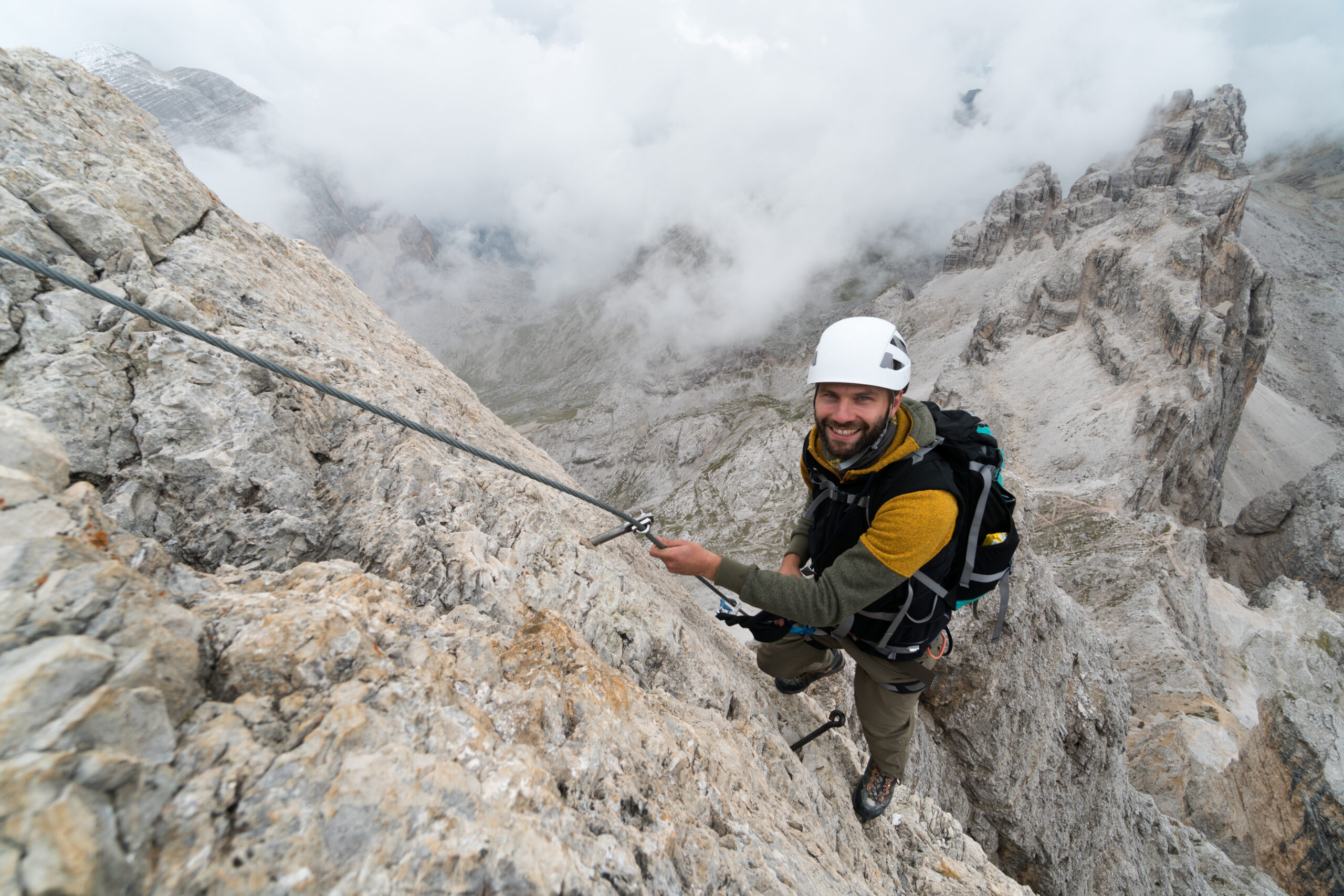
The standard climb begins from the Rock of Ages trailhead, hikes roughly four miles to the 13,000-foot Rock of Ages saddle, traverses loose terrain toward the Wilson–Gladstone saddle, then climbs the southwest ridge to a false summit before the final exposed Class 3 pitch.
The mountain rewards preparation rather than bravado. A climber who is comfortable on Class 2 but has little experience downclimbing exposed Class 3 terrain should build more scrambling experience first.
Wilson Peak Southwest Ridge via Rock of Ages
The Rock of Ages approach is the most straightforward way to climb Wilson Peak by itself. The approach is long but mostly Class 1; the difficulty changes sharply once you leave the saddles and commit to the upper mountain.
Rock of Ages Trailhead → Basin
Start around 10,350 feet and follow the Rock of Ages approach through the mining basin. The trail is comparatively straightforward, but the dirt road to the trailhead may require clearance depending on current ruts, mud and creek levels.
Rock of Ages Saddle · ~13,000 ft
After roughly four miles, reach the broad Rock of Ages saddle. This is a major decision point. Weather, wind and the condition of the upper route should determine whether you continue—not the fact that you have already invested several hours.
Traverse toward the Wilson–Gladstone Saddle
Cross a loose, rugged slope toward the small saddle between Wilson Peak and Gladstone Peak. Rockfall awareness matters. Keep spacing between climbers and avoid moving directly beneath parties whenever practical.
Gain the Southwest Ridge
Scramble across slabs and ledges on the south side, then gain the southwest ridge around 13,550 feet. The route becomes steeper and more exposed as you approach the false summit near 13,900 feet.
False Summit → Final Class 3 Pitch
Downclimb roughly 50 feet, traverse stacked rock and ledges toward the prominent dark gash, regain the ridge crest, then climb the final Class 3 section to the summit. This is the psychological and technical crux for many climbers.

Wilson Peak Hazard Profile
Difficulty ratings describe movement, not consequence. Wilson Peak combines exposed scrambling with loose San Juan rock and enough route-finding that small mistakes can compound quickly.
High. Several sections demand confident movement above consequential terrain, especially near the false summit and summit pitch.
Considerable. Loose rock is one of the defining hazards. A helmet, spacing and disciplined movement are important.
Considerable. The correct line keeps the route within Class 3. Wandering onto steeper or looser terrain can raise difficulty and consequence.
Considerable. The long approach, exposed downclimbing and loose terrain make a late retreat more involved than simply turning around on a hiking trail.
Rock of Ages Trailhead: Road Conditions Matter
Do not treat a single vehicle report as a permanent road rating. Forest Roads 622 and 645 are unpaved and condition-dependent; the Forest Service says they are not maintained for passenger vehicles.
Silver Pick Road
From the Telluride/Placerville side, follow Colorado 145 to Silver Pick Road, then Forest Roads 622 and 645 toward Rock of Ages.
Big Bear Creek
The final road includes a creek crossing. Water level, entry angle and surrounding ruts can change substantially through the season.
Vehicle reality
September 2026 reports ranged from a sedan reaching the trailhead in dry conditions to other reports recommending clearance and 4WD. Use the newest road report, not the best report.

The Final Summit Pitch: Where Wilson Peak Gets Serious
The false summit can make the true summit look intimidating. The solution is not to improvise a direct line. The standard route uses a short downclimb and traverse to stay within Class 3 terrain.
Downclimb first
From the false summit, descend roughly 50 feet rather than forcing a direct ridge move. This is one reason Wilson Peak requires comfort downclimbing terrain you just ascended.
Find the dark gash
The standard line traverses toward a prominent dark gash. Staying on the intended line helps avoid unnecessarily unstable or harder terrain.
Regain the crest
Just before the gash, climb back toward the ridge crest and turn toward the summit for the final Class 3 section.
Early Starts Matter More on an Exposed Class 3 Peak
Lightning
Wilson Peak leaves you high and exposed for a meaningful period. Build enough schedule margin to be descending before the typical afternoon convective cycle, rather than waiting for thunder to announce the problem.
Early or late-season snow
Snow can transform a summer scramble into a substantially more technical climb. The September 26, 2026 report of snow above about 13,400 feet is a reminder that calendar dates do not guarantee dry rock.

Wilson Peak Gear: Add a Helmet to the Standard 14er Kit
Strongly recommended because the route has considerable rockfall potential.
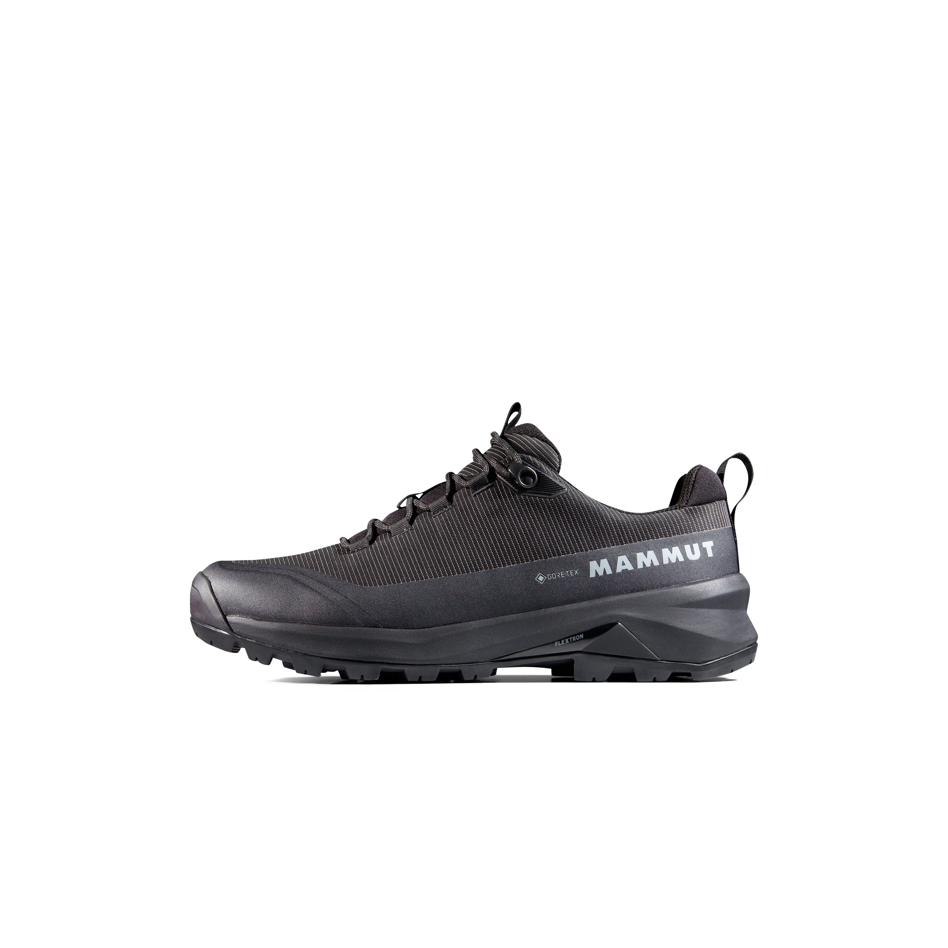
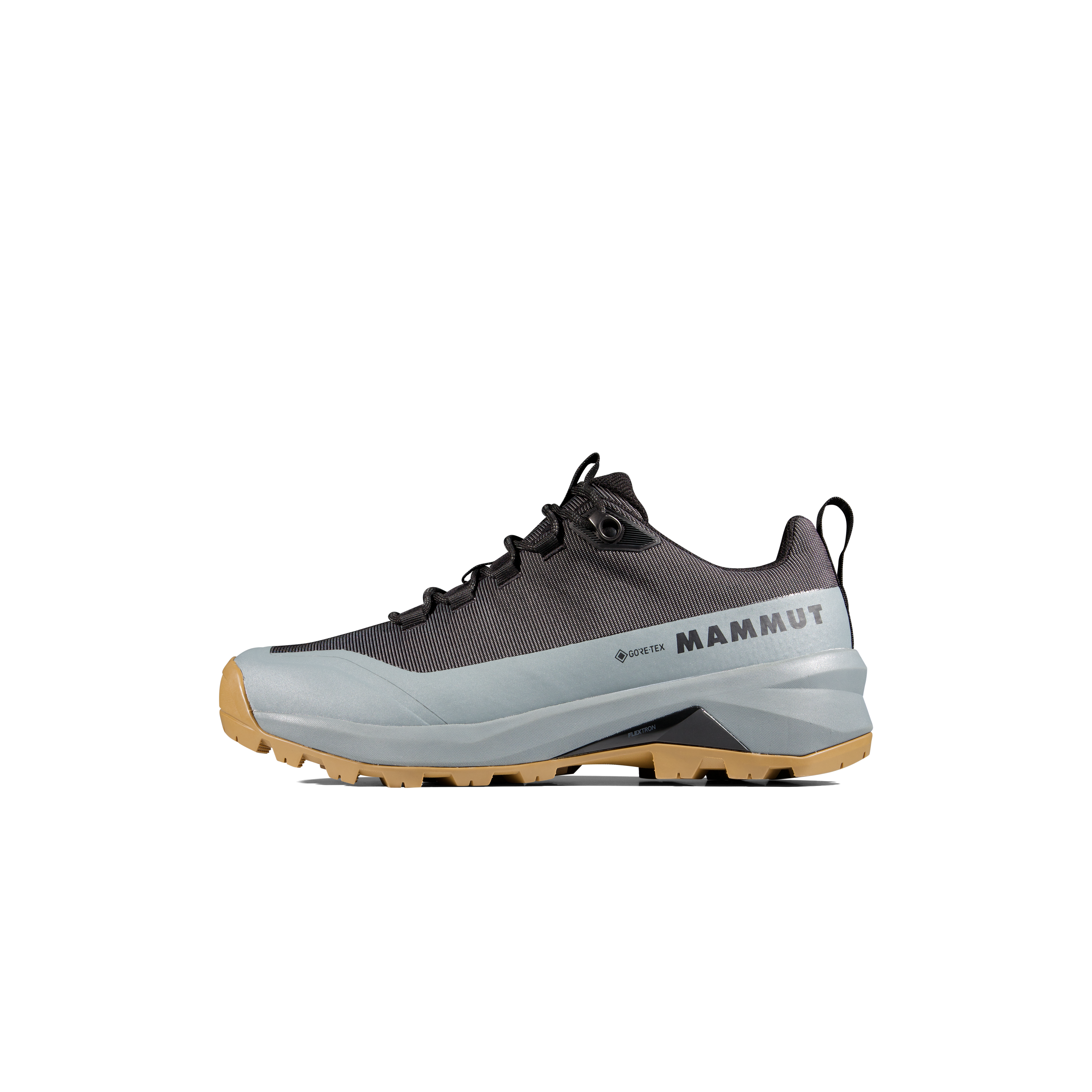
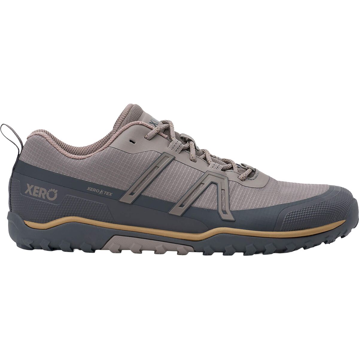
Prioritize precise traction on slabs, ledges and loose rock.
Useful for the long approach. Stow them before exposed scrambling.
A pre-dawn start is common. Carry a dedicated headlamp.
Download the route and study crux photos before leaving.
Carry insulation and a shell even on a warm valley forecast.
Rock of Ages & summit scrambling kit:
Wilson Peak Class 3 Gear
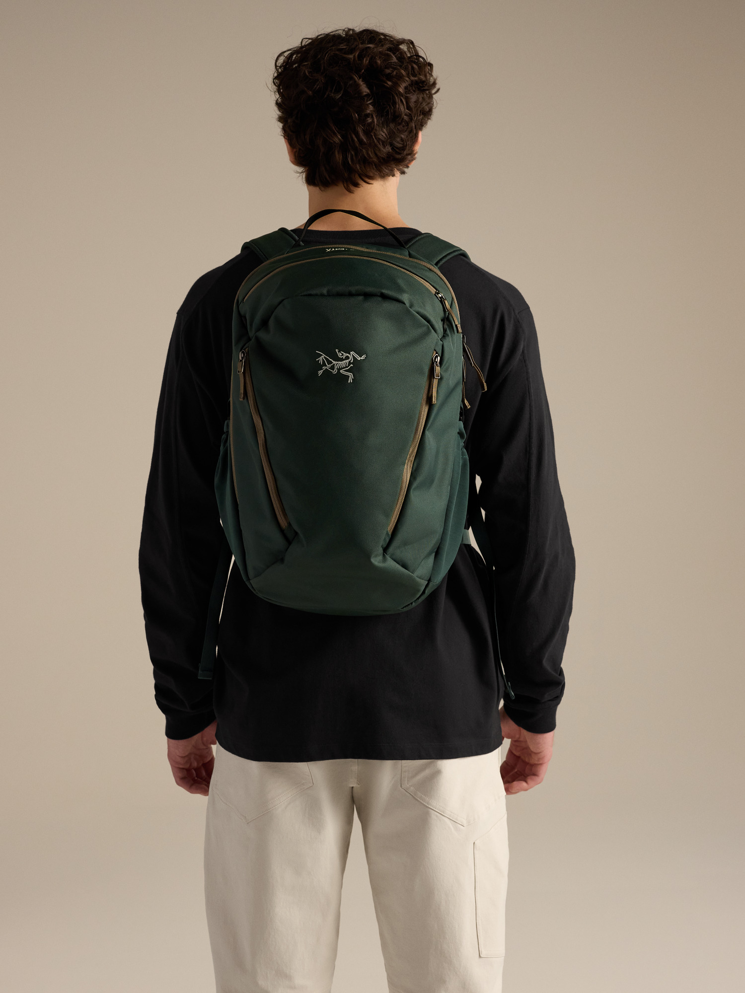
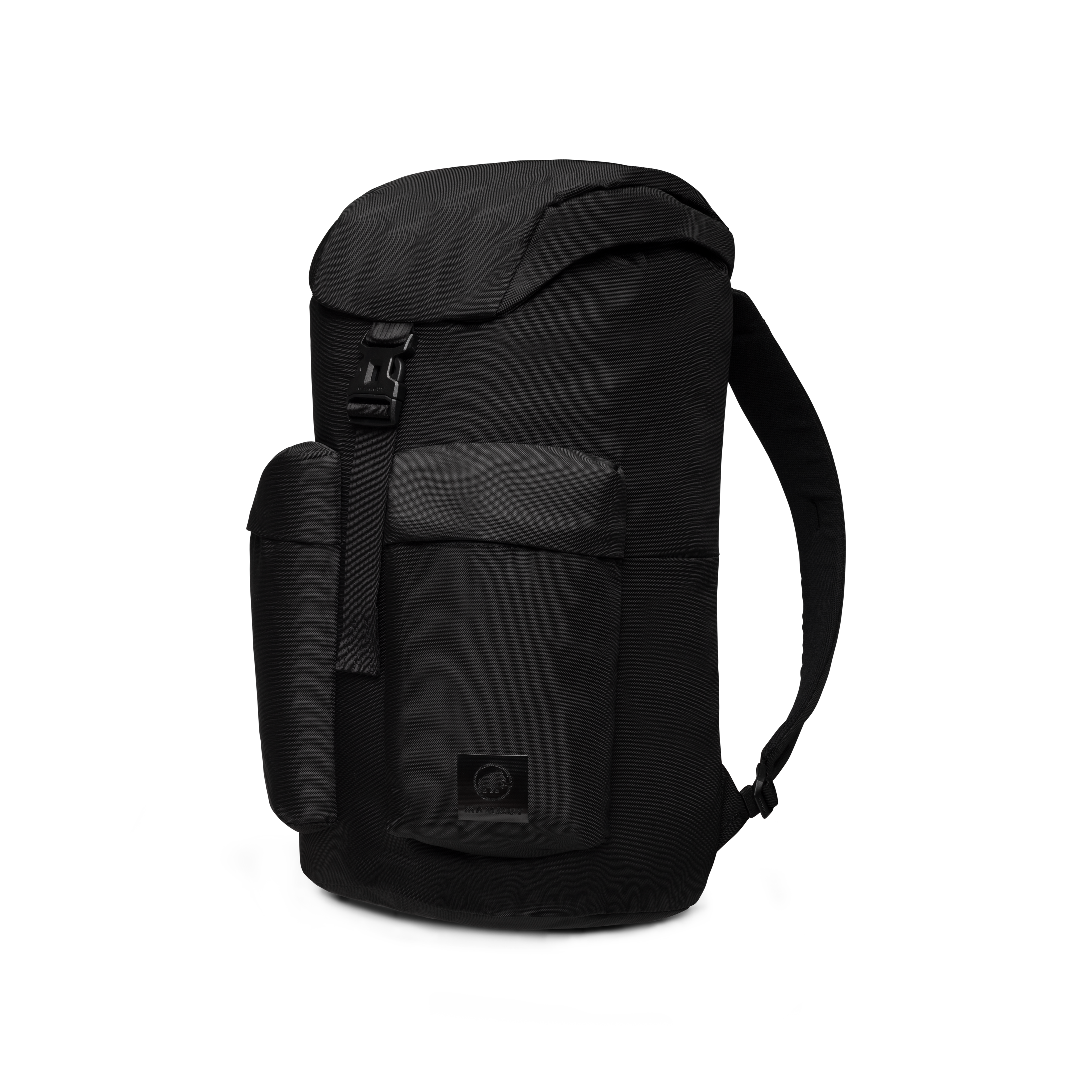
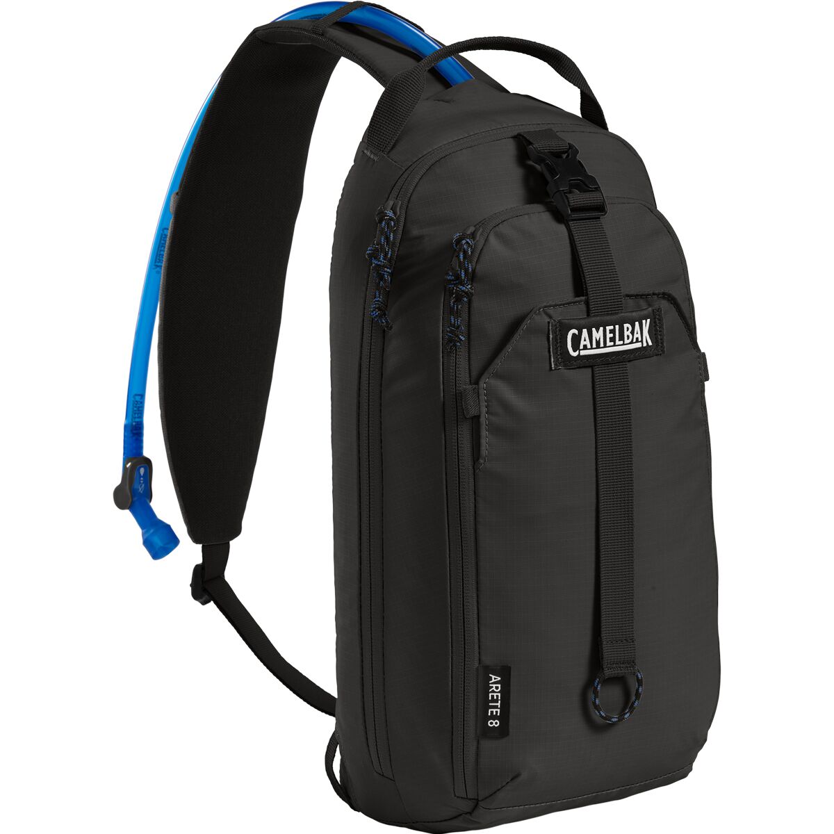
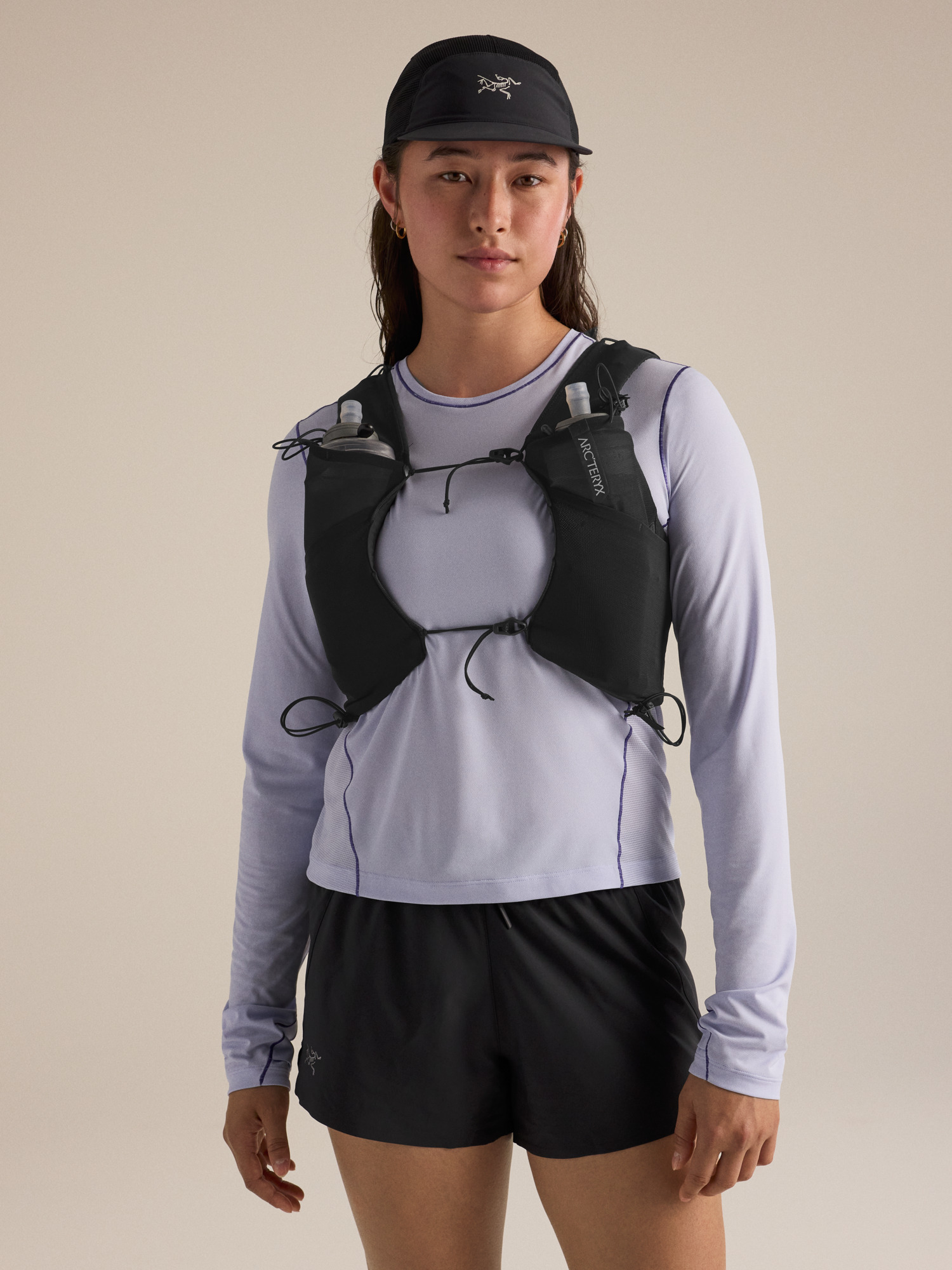
We may earn a commission if you buy through these links, at no extra cost to you. Affiliate disclosure

Variable-season extras:
Wilson Peak Approach & Variable-Season Extras

Wilderness & Leave No Trace Considerations
Wilson Peak enters federally designated wilderness. Mechanized and motorized travel is prohibited inside wilderness boundaries, and local restrictions can apply to camping, fires and pets.
No drones
Motorized equipment is prohibited in designated wilderness. Do not plan to launch or operate a drone from inside the wilderness.
Navajo Basin fire restriction
Forest Service Telluride-area guidance says campfires are not allowed in Navajo Basin because of high visitor use.
Pack out the impact
Stay on durable surfaces, avoid cutting switchbacks and protect fragile alpine vegetation.
Wilson Peak Map
Wilson Peak sits west of Telluride in the San Miguel Mountains, close to Mount Wilson, El Diente and Gladstone Peak. Use a current route map or GPX for navigation.
Summit marker: approximately 37.8603° N, 107.9850° W.
Should Wilson Peak Be Your First Class 3 14er?
Probably not if…
Your only experience is on Class 1–2 hiking routes, you dislike exposed downclimbing, or you have never managed loose rock around other climbers.
Better preparation
Build experience on lower-consequence scrambling where you can practice three-point movement, deliberate foot placement and downclimbing.
You may be ready if…
You have solid high-altitude fitness, prior Class 3 experience, comfort reversing exposed moves, and discipline to turn around when conditions change.
Wilson Peak Questions
How hard is Wilson Peak?
The standard Southwest Ridge is Class 3, about 10 miles round trip and 3,900 feet of gain from Rock of Ages, with high exposure and considerable rockfall, route-finding and commitment.
What is the standard Wilson Peak route?
The Southwest Ridge via Rock of Ages. Hike to the Rock of Ages saddle, traverse toward the Wilson–Gladstone saddle, gain the southwest ridge, cross the false summit and finish with exposed Class 3 scrambling.
Do I need 4WD for Rock of Ages?
It depends on current road conditions. The Forest Service says the final roads are not maintained for passenger vehicles. Recent 2026 reports ranged from sedan access during dry conditions to recommendations for clearance and 4WD.
Should I wear a helmet on Wilson Peak?
Yes, a climbing helmet is strongly recommended because rockfall potential is considerable.
Is Wilson Peak the same as Mount Wilson?
No. Wilson Peak and Mount Wilson are separate 14ers in the same San Miguel massif.
When should I turn around?
Snow or ice on the Class 3 pitch, electrical activity, uncertain route-finding, excessive rockfall, worsening weather or a pace that leaves too little descent time are all valid reasons.
Continue Your Colorado Progression
Route & Access Sources
- 14ers.com — Wilson Peak Southwest Ridge: route distance, gain, Class 3 rating, risk factors and route description.
- 14ers.com — Rock of Ages trailhead: current road-condition reports.
- U.S. Forest Service — Rock of Ages Trail brochure: directions, road caution and camping guidance.
- U.S. Forest Service — Telluride Area Trails: wilderness and Navajo Basin guidance.
- Hero photo: Scott Ellis, CC BY-SA 2.0.
- Wilson Peak / San Miguel photo: Jackbauerinvc, public domain.
Verification date: October 2, 2026. Mountain and road conditions can change faster than a page can be updated.
Was this helpful?
🏔Related peaks nearby
🧭Explore & compare
Global Summit Guide is an independent mountaineering resource founded in 2026. The team combines first-hand trekking and climbing experience with in-depth research and professional health and nutrition review to help climbers choose objectives, prepare properly, and stay safe.
Health, altitude, and nutrition content is reviewed by Taylor Ludlow (Registered Nurse) and Brigg Hoopes (Nutritionist).
What We Don't Know Yet
Mountain information changes quickly. This box explains the limits of what this page can responsibly promise.
- Weather, snowpack, avalanche risk, road access, and route conditions can change quickly and may be different on your climbing dates.
- Route conditions, trailhead access, crevasse exposure, stream crossings, and rescue access may vary from published planning guidance.
- Gear requirements can change by season, route variation, weather window, personal cold tolerance, and guide-service requirements.
Verify current conditions with official land managers, guide services, local forecasts, and current route reports before booking or climbing.
Mountaineering, rock and ice climbing, glacier travel, and high-altitude activity are inherently dangerous and can result in serious injury or death. The information on Global Summit Guide is provided for general informational and educational purposes only and is not a substitute for professional instruction, qualified guiding, proper equipment, or your own judgment and experience.
Route conditions, weather, snowpack, permits, regulations, and hazards change constantly and may differ from what is described here. Details may be incomplete, out of date, or contain errors. Always verify current information with local authorities, certified guides, and official sources before making any decision in the mountains.
Nothing on this site is medical, legal, or financial advice. Our fitness, acclimatization, altitude, and nutrition content is general in nature; consult a qualified physician before beginning any strenuous exercise program or exposing yourself to high altitude.
You are solely responsible for your own safety and decisions. To the fullest extent permitted by law, Global Summit Guide and its team accept no liability for any loss, injury, damage, or expense arising from use of, or reliance on, this information. By using this site you acknowledge these risks and accept these terms.
Some links on this site may be affiliate links. If you buy through them we may earn a small commission at no extra cost to you; this never affects our recommendations.
Global Summit Guide recommendation path
Next Best Mountain to Research
Use these recommendations to continue the right planning path instead of stopping on one page.
Use current permit, weather, route, and operator information before booking or climbing.