
Last updated September 30, 2026

Uncompahgre Peak: South Ridge, Nellie Creek & Complete Hiking Guide
The highest mountain in the San Juans rewards hikers with a sweeping alpine basin and a broad summit—provided they can get up Nellie Creek Road and safely negotiate one short, loose Class 2 crux. Plan both the road and the mountain, not just the summit.
What Does Uncompahgre Peak Require?
From the upper Nellie Creek trailhead, the standard South Ridge is a 7.5-mile round trip with around 3,000 feet of ascent. It follows an established alpine trail before a short, steep, loose Class 2 section below the summit plateau. A successful plan requires more than hiking fitness: the four-mile access road is rough, the summit is remote, and weather can deteriorate quickly.
The route is listed at 14,318 feet in the current 14ers.com LiDAR-based dataset, replacing older published elevations. It is Colorado’s sixth-highest ranked summit and the San Juans’ high point.
Nellie Creek Is the Gatekeeper.
Uncompahgre is a relatively straightforward Class 2 climb only when the access road has already removed eight miles of walking. Road conditions can change your itinerary more than the standard summit route does.

Two Trailheads. Two Very Different Days.
From Lake City, take Second Street and Bluff Street onto Henson Creek Road. About five miles from town, look for the Nellie Creek trail junction on the right. The lower parking option is here, around 9,300 feet.
Upper-trailhead access continues roughly four miles up narrow Nellie Creek Road to approximately 11,400 feet. The route includes two creek crossings—around 1.8 and 2.7 miles—and a junction where you stay left around 2.3 miles. Expect rocks, steep turns, ruts and the possibility of mud.
14ers.com rates this road Easy 4WD/AWD (3/6) with good clearance required. That is a road classification, not a guarantee for every car or driver. A vehicle that succeeds when the road is dry may struggle after heavy rain or in fall snow.
Do not attempt the road if your vehicle, tires, clearance or off-road experience are inadequate. Walk from the lower parking area or reconsider the date.
7.5 mi / 3,000 ft
Shorter summit day after a four-mile rough approach road. Confirm the road before committing.
15.5 mi / 5,500 ft
Eight added road miles and much more vertical gain. This is a long mountain objective with a much earlier start.
Recheck the Elk Fire Corridor
Some 2026 closures affected the area; the Nellie Creek corridor reopened in July. Confirm today’s Forest Service order and fresh road reports before travel.
Follow the Basin—Then Find the Rock Tower.
The approach is a memorable walk into an expansive alpine basin. The technical distinction comes late: a short loose-rock section interrupts an otherwise obvious mountain trail.
1 · Leave the upper Nellie Creek trailhead
Follow the established trail uphill through thinning timber, reaching open terrain after roughly half a mile. Stay on the main maintained route rather than cutting switchbacks.
2 · Turn west into the alpine basin
After following Nellie Creek and gaining a low rise, continue west at the trail junction into the broad basin beneath Uncompahgre’s distinctive summit block. Views open quickly across the San Juans.
3 · Gain the south ridge
The trail angles southwest toward the south ridge, then heads west and northwest toward the southeast side of the summit massif. Check conditions and time before entering the higher exposed terrain.
4 · Crest the ridge and approach the west-side crux
After switchbacks on the southeast face, reach the ridge crest. The route traverses left toward a rocky tower, where loose rock creates the climb’s key route-finding decision.
5 · Cross about 150 feet of loose Class 2 rock
Regain the upper ridge either near or beyond the landmark tower, following the current established line. Watch for unstable holds and for climbers above or below. In fog or snow, this section becomes much harder to identify.
6 · Walk to the broad summit plateau
Above the short rock step, a more defined route resumes and the remaining summit walk is comparatively gentle. Reverse your route with extra attention at the crux—the descent is where loose terrain often creates the bigger problem.
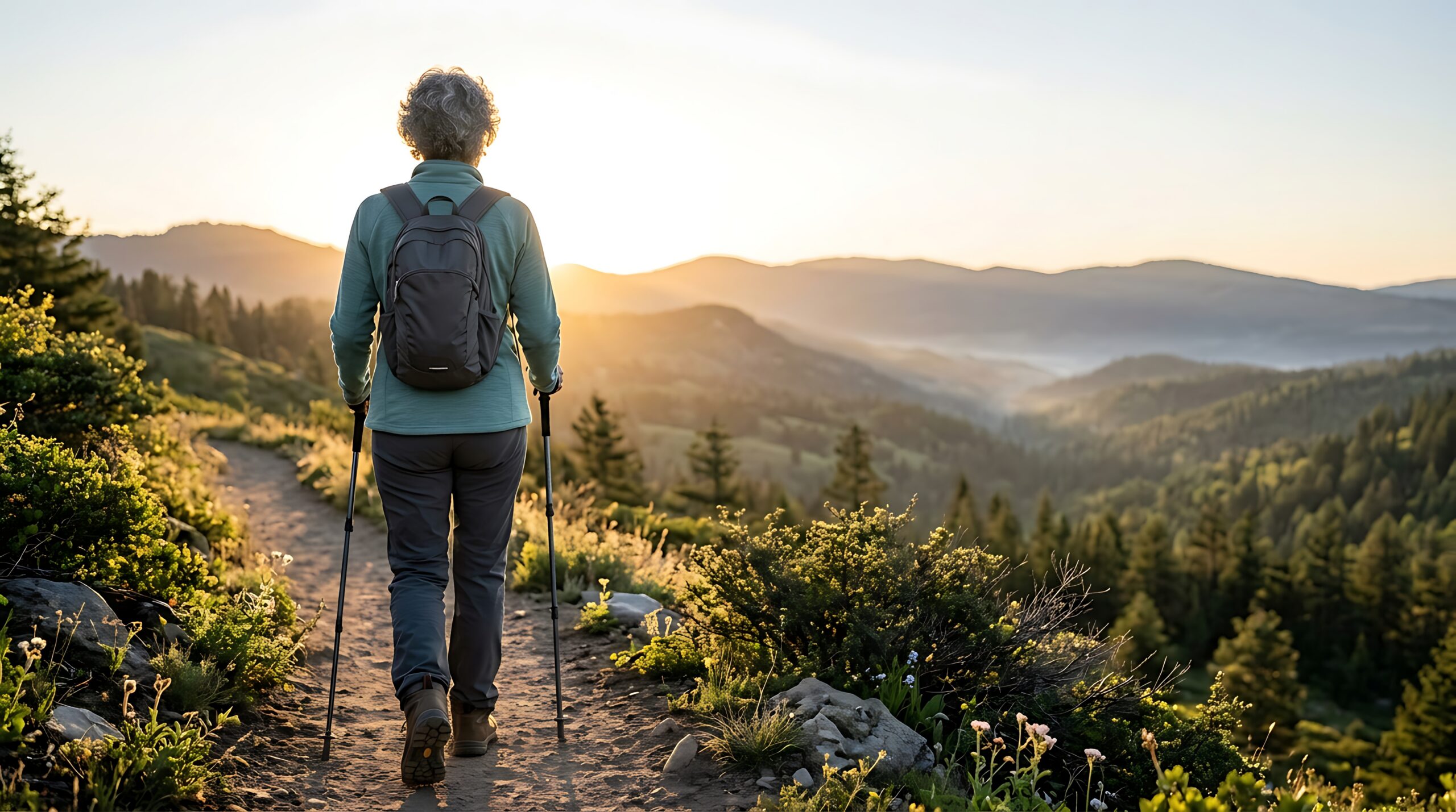
A Short Class 2 Crux Does Not Mean a Short or Low-Commitment Mountain.
Below the summit, Uncompahgre’s volcanic-looking summit block hides a short loose-rock passage. The risk builds when a group reaches it late, under incoming weather, or already tired after a long approach from lower parking.
Illustrative mountain-hiking image; not a photo of Uncompahgre Peak.The Crux Is Short. The Consequences Are Real.
14ers.com assesses the standard route as moderate exposure, considerable rockfall potential, moderate route-finding and moderate commitment. This is a more useful safety description than saying it is simply a walk-up.
Move One at a Time When Needed
Take your time near the rock tower, test holds, and give others space. Avoid standing immediately below another climber on loose rock.
Mark the Descent
Look back at the tower and ridge while ascending. In mist or snow, broad summit slopes can tempt hikers onto incorrect terrain.
Stay with the Standard Line
The mountain’s dramatic cliffs and north face are not part of the standard South Ridge. The existence of a route around the summit block does not make every neighboring slope safe.
Choose Conditions, Not Just a Summer Month.
The normal hiking window is approximately late June through September, but snowmelt, monsoon thunderstorms and road condition vary by year. Early summer can leave snow or saturated ground around creek crossings. Summer thunderstorms frequently make early starts essential. September may offer quieter, cooler days, but storms can quickly bring new snow.
For a dry-route climb, first confirm that the final Class 2 section is clear, the 4WD road is passable for your vehicle, and your entire ascent and descent fit inside the stable forecast window.
- Late spring / early summer: variable snow, muddy access and changing creek levels.
- Mid-summer: primary dry hiking season, with afternoon lightning and heavy holiday road use.
- Late summer / September: cooler mornings and possible early snow; shorter daylight becomes a factor.
- Winter: fundamentally different mountaineering and access problem; not the standard summer hike.

Use an Early Start and a Real Turnaround.
Uncompahgre’s upper basin, ridge and broad summit offer little protection from electrical storms. An early departure is a way to preserve descent time, not permission to climb in a poor forecast.

Recheck the Forecast Three Times.
Check the NOAA point forecast around Uncompahgre before travel. Refresh it before sleeping near Lake City or the trailhead, then compare the morning sky and wind to the forecast before committing higher.
Build a cutoff around your group’s actual speed. From the lower parking area, the added eight miles make a casual midmorning start a very different risk calculation. Thunder, rapidly building clouds, lightning, severe wind or deteriorating visibility warrant descent.
Carry Alpine Essentials, Not an Unnecessary Expedition Kit.
On a dry standard-route day the emphasis is secure footwear, layered weather protection, early-start lighting, navigation and a stable daypack. Snow or ice changes the equipment and skill requirements.
Pack for the Descent as Carefully as the Summit.
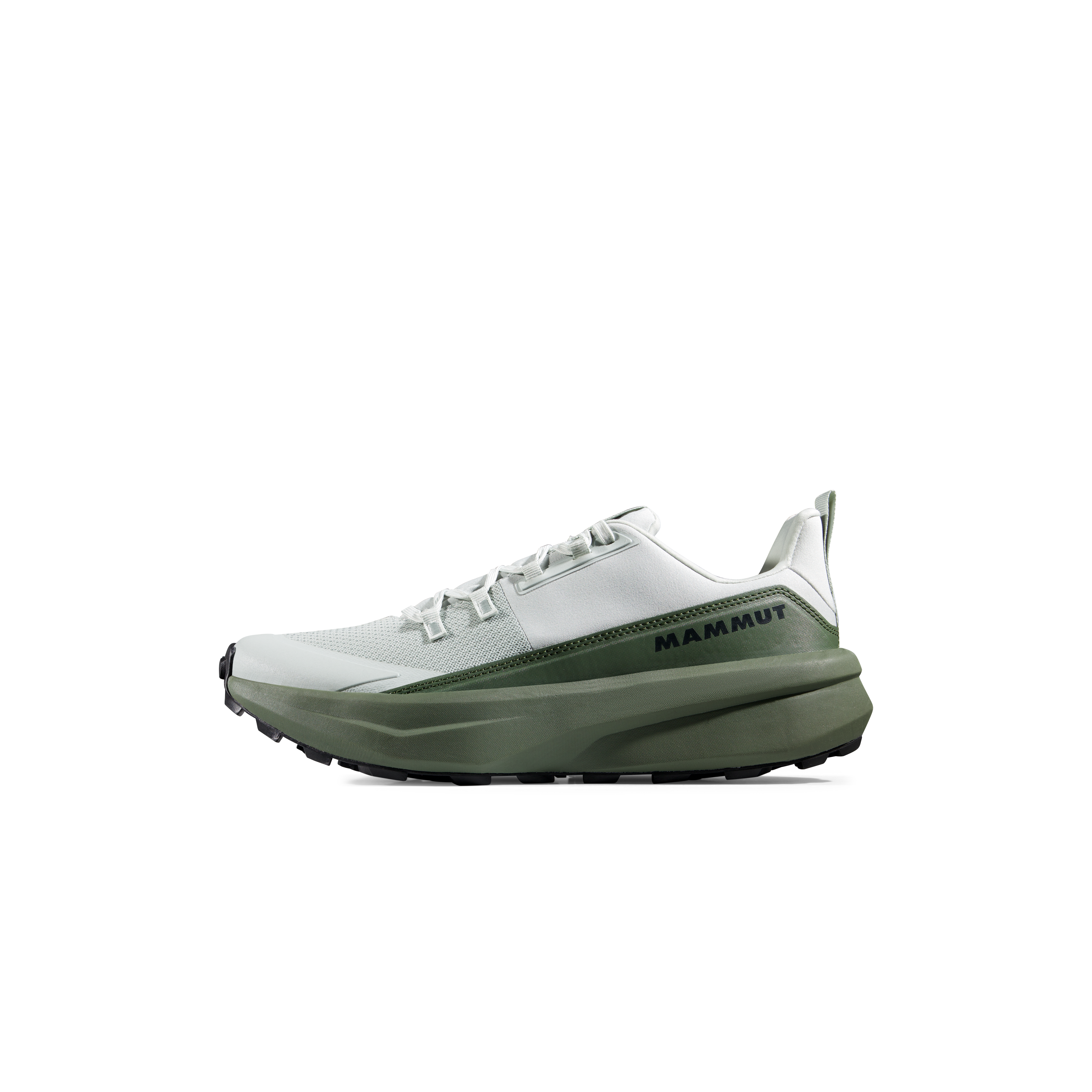
- Footwear: grippy trail runners or hiking boots suitable for loose rock and a long return; prioritize proven fit.
- Layers: breathable active layer, warm insulation, waterproof/windproof shell, gloves and hat.
- Movement: trekking poles are useful on the basin trail and on fatigued descents; stow them for hands-on rock if needed.
- Navigation: offline GPX/topographic map, spare power and independent route awareness.
- Timing and safety: working headlamp, first aid, emergency shelter, communication plan and extra food and water.
- Snow season: evaluate traction and snow-travel skills separately; do not assume summer route ratings describe a snowy ridge.
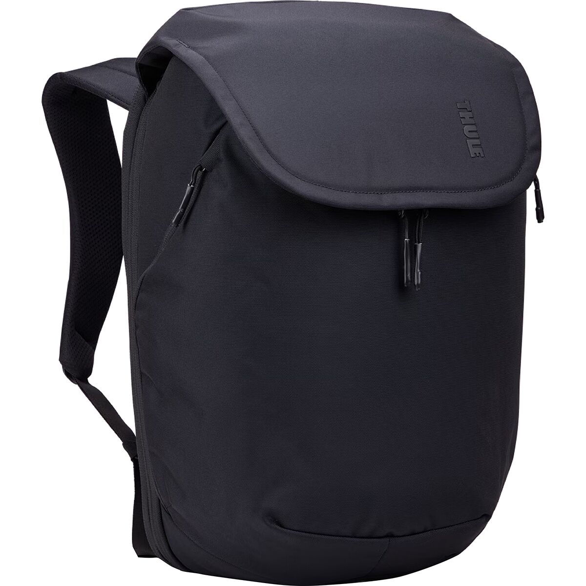
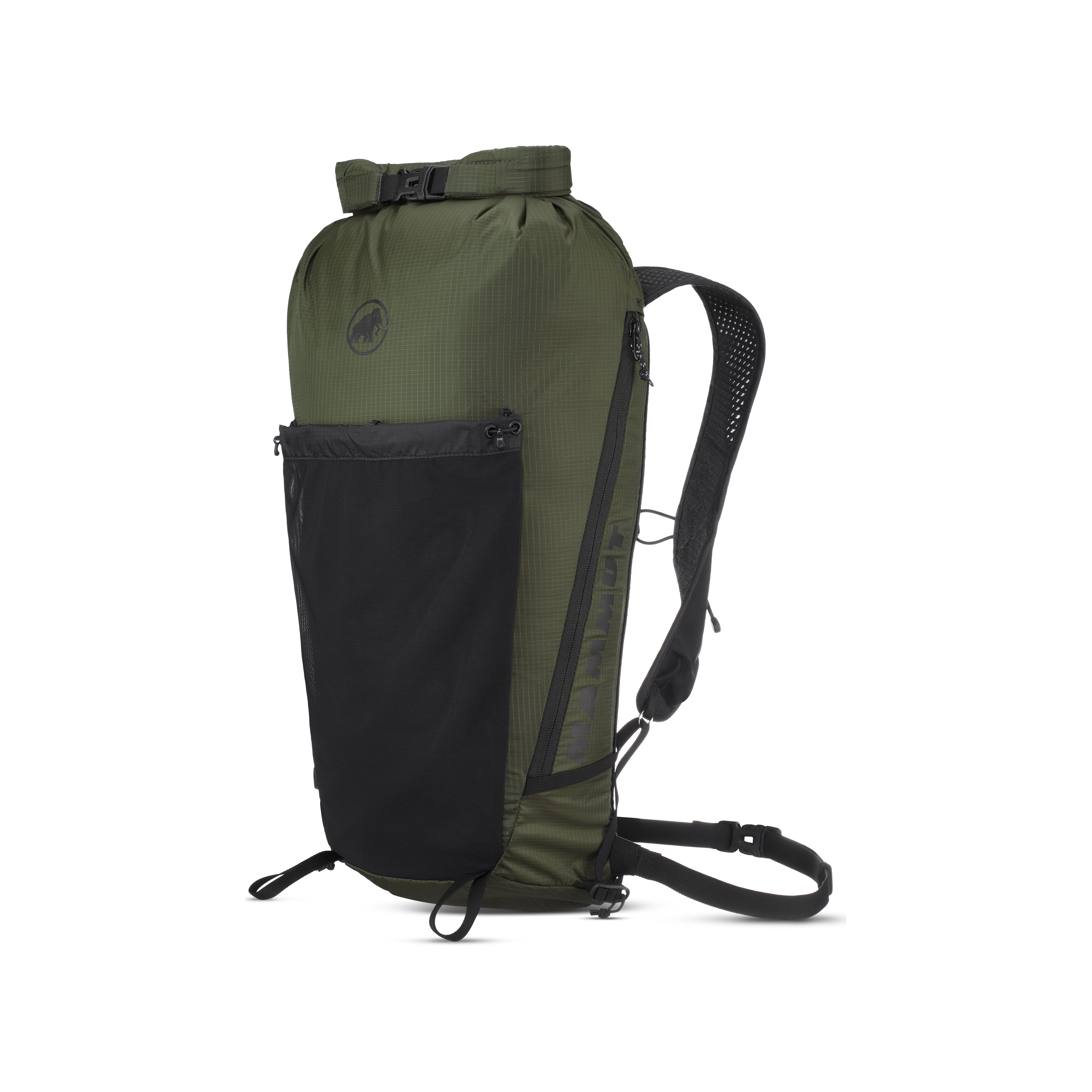
Test your hiking shoes and pack before taking them up the Nellie Creek road. Fit and reliable movement matter more than adding extra equipment to the shopping cart.

Uncompahgre Peak Summer Hiking Kit
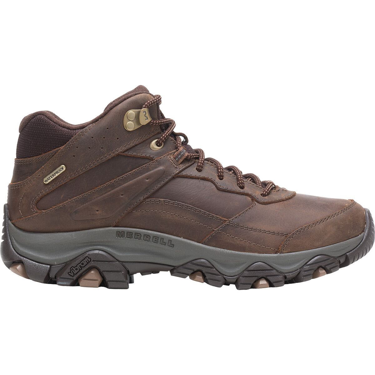
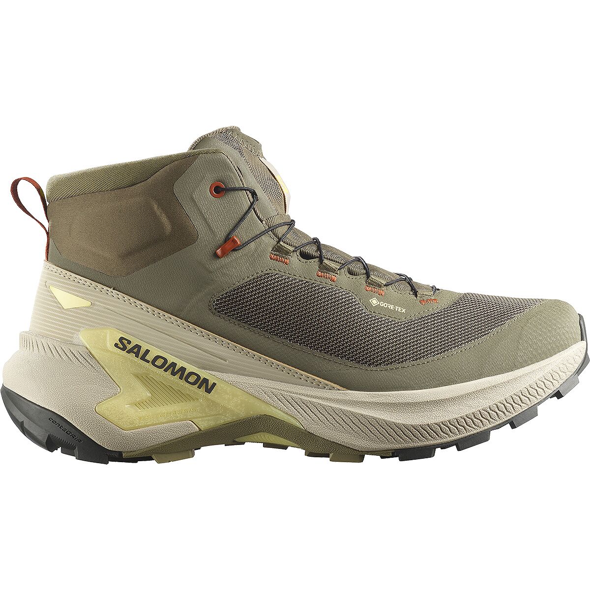
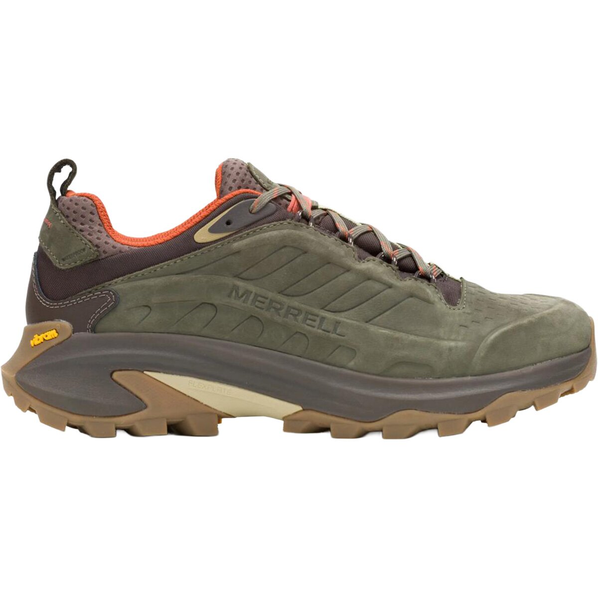
We may earn a commission if you buy through these links, at no extra cost to you. Affiliate disclosure
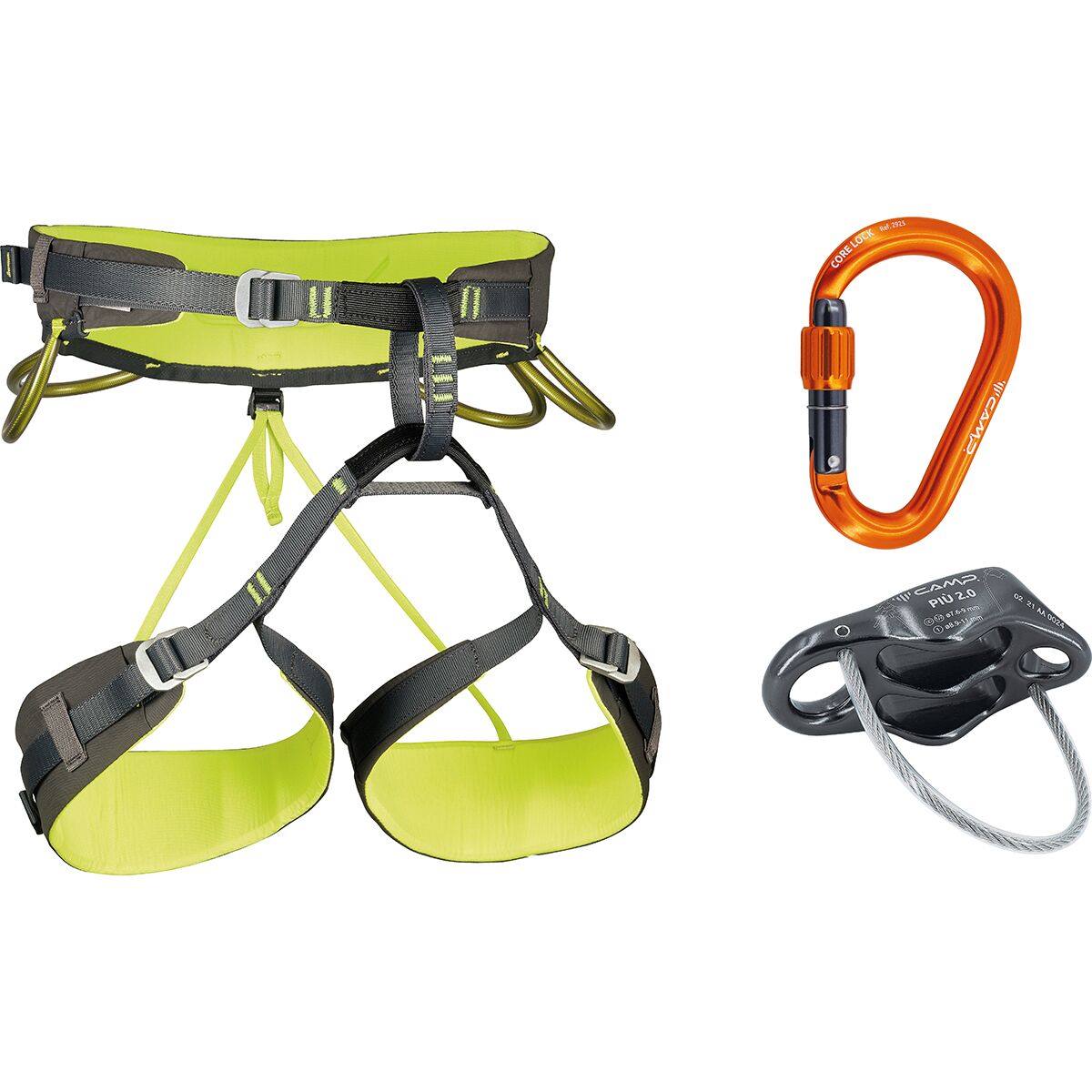
Early Starts & Variable-Season Extras
Uncompahgre Wilderness Rules Matter on a Day Hike.
Colorado Fourteeners Initiative has spent years restoring and maintaining Uncompahgre’s standard route. Use the established trail and resist the temptation to cut corners across fragile high-altitude vegetation.
15 People
The Forest Service’s wilderness brochure prohibits groups larger than 15 people or more than 25 combined people-and-stock “heartbeats.” Split large groups well apart.
At Least 100 Feet Back
Do not camp within 100 feet of water or designated trails; the Forest Service encourages 200 feet or more. CFI recommends camping below the trailhead to reduce impact.
No Fires Above Treeline
Campfires are prohibited above treeline and within 100 feet of a water source or designated trail. A stove is a better choice where permitted.
Keep Food and Dogs Under Control
Do not feed wildlife. Keep pets under control and verify current posted rules; pack out their waste, especially above timberline.
Stay on the Built Trail
The standard route passes fragile alpine habitat. Uncompahgre Wilderness rules also prohibit butterfly collecting from June 1 through August 30.
No Drones or Motorized Travel
Motorized and mechanized equipment is prohibited in designated wilderness. Nellie Creek vehicle travel ends before the protected foot trail.

A Broad Summit Above Dramatic Cliffs.
Uncompahgre is the highest summit in the San Juan Mountains and sits within a landscape shaped by volcanic processes. Its recognizable block-like upper profile contrasts with the sharper neighboring spires, while the normal hiking route cleverly avoids the intimidating cliff bands visible from some viewpoints.
Historical survey photographs show how distinctive the massif looked well before the modern 14er hiking era. That dramatic appearance can mislead people into assuming the standard route requires technical climbing. Instead, most of the South Ridge is trail—with one localized Class 2 obstacle near the top.
Do not mistake the broad plateau for an excuse to explore the cliff edges in poor visibility. Leave the route with a clear descent plan and give unstable rock a wide berth.
Train for the Version of the Hike You Will Actually Take.
If you can reliably reach upper Nellie Creek, train for seven-plus miles at altitude with 3,000 feet of ascent and a loose-rock finish. If you expect to park on Henson Creek Road, your day becomes more than double the distance and adds roughly 2,500 feet of gain.
Use long uphill hikes, sustained aerobic work, loaded day-hike practice and deliberate downhill conditioning. Fitness does not eliminate altitude-illness risk; schedule extra time at elevation before summit day when practical and pay attention to symptoms.
Make your summit turnaround time before the trip. A 15.5-mile plan demands a much larger weather buffer than a 7.5-mile climb, especially if you need to descend the road on foot after dark.

Uncompahgre Peak & Nellie Creek Map
Use the map for orientation, not route-finding. Download a current GPX and carry an offline topo map before leaving Lake City.
Two Coordinates to Save
Summit: 38.07168, -107.46211
Upper Nellie Creek trailhead: 38.06209, -107.42158
Henson Creek Road leads west from Lake City to the Nellie Creek turnoff. The four-mile 4WD road climbs toward the upper trailhead. On foot, the maintained trail continues west into the basin before looping toward the South Ridge and summit.
A San Juan Milestone, Not an Automatic Wetterhorn Combo.
Uncompahgre is a strong Class 2 test of road logistics, altitude, endurance and controlled movement on short loose terrain. Nearby peaks may be very different technical objectives.
| Peak or resource | Route character | Why it connects |
|---|---|---|
| Uncompahgre Peak | South Ridge · Class 2 · 7.5 miles from upper 4WD parking | Owns this page’s route and road-access intent. |
| Wetterhorn Peak | Southeast Ridge · Class 3 · high exposure | Nearby but a separate scramble requiring stronger technical confidence; do not treat it as a casual same-day add-on. |
| Mount Sneffels | San Juan Class 3 summit by its standard route | Useful for understanding how the region’s loose-rock and hands-on scrambling objectives differ. |
| Colorado 14ers | Statewide list of 58 named summits | Choose a next peak by route class, access, distance and exposure rather than elevation alone. |
Mountain Decisions That Carry Beyond This Peak
Use these specialist resources for conditions, altitude physiology and turnaround judgment rather than trying to make one Uncompahgre page teach every mountaineering skill.
Read a Mountain Forecast
Connect lightning and wind forecasts with a realistic ascent–descent window.
Altitude responseUnderstand Acclimatization
Understand what high elevation changes—and what fitness cannot prevent.
ExecutionSet a Turnaround Time
Build a firm return plan before summit pressure changes the decision.
Continue Through the Colorado Mountain Cluster
Continue from this mountain’s route and access details to broader Colorado peak choices and nearby San Juan objectives.
Check Current Orders Before Setting Out
Numbers here are route-planning baselines, not real-time conditions. The primary references below should be checked again before travel.
14ers.com Route & Trailhead
Current LiDAR elevation, route stats, loose-rock passage, road grade and detailed current user reports.
U.S. Forest Service
Current fire orders, wilderness restrictions, active alerts and any change in access to Nellie Creek or the summit trail.
Colorado Fourteeners Initiative
Maintained route, stay-on-trail stewardship guidance and habitat concerns on the standard Nellie Creek approach.
Uncompahgre trail stewardship →Uncompahgre Peak Planning Questions
Concise answers to the route, access and season decisions people search for most.
How difficult is the standard Uncompahgre Peak route?
The South Ridge is Class 2, with a short loose-rock crux below the summit plateau. 14ers.com rates exposure moderate, rockfall potential considerable, route-finding moderate and commitment moderate. Snow, poor visibility and road access can substantially change the outing.
How long is the hike?
From upper Nellie Creek 4WD parking, approximately 7.5 miles round trip and 3,000 feet of ascent. From the lower 2WD junction, approximately 15.5 miles and 5,500 feet of ascent.
Can my normal car reach the upper trailhead?
The four-mile road is rough and narrow, with creek crossings, mud-prone spots and steep turns. Use a capable high-clearance 4WD or AWD vehicle and a driver experienced on similar roads, or park at the lower road junction.
What is the best season?
For the normal dry South Ridge, late June through September is a useful starting window, but verify current snowpack, creek levels, road status and the mountain forecast. Afternoon storms remain a major summer hazard.
Is this a first 14er?
It can suit a well-prepared hiker with altitude fitness, but its remote trailhead, possible 15.5-mile lower-road option and loose Class 2 crux make it more logistically demanding than several Front Range introductory routes.
Was this helpful?
🏔Related peaks nearby
🧭Explore & compare
Global Summit Guide is an independent mountaineering resource founded in 2026. The team combines first-hand trekking and climbing experience with in-depth research and professional health and nutrition review to help climbers choose objectives, prepare properly, and stay safe.
Health, altitude, and nutrition content is reviewed by Taylor Ludlow (Registered Nurse) and Brigg Hoopes (Nutritionist).
What We Don't Know Yet
Mountain information changes quickly. This box explains the limits of what this page can responsibly promise.
- Visa, passport, vaccination, border, insurance, and local transportation rules may change before your trip.
- Route conditions, snowpack, closures, and weather can change quickly after this page is updated.
- Permit rules, fees, quotas, and reservation windows may change between review cycles.
- Operator availability, pricing, guide ratios, and cancellation terms can change by season.
- Your fitness, altitude response, risk tolerance, and experience level may change what is safe or realistic.
Verify current conditions with official land managers, guide services, local forecasts, and current route reports before booking or climbing.
Mountaineering, rock and ice climbing, glacier travel, and high-altitude activity are inherently dangerous and can result in serious injury or death. The information on Global Summit Guide is provided for general informational and educational purposes only and is not a substitute for professional instruction, qualified guiding, proper equipment, or your own judgment and experience.
Route conditions, weather, snowpack, permits, regulations, and hazards change constantly and may differ from what is described here. Details may be incomplete, out of date, or contain errors. Always verify current information with local authorities, certified guides, and official sources before making any decision in the mountains.
Nothing on this site is medical, legal, or financial advice. Our fitness, acclimatization, altitude, and nutrition content is general in nature; consult a qualified physician before beginning any strenuous exercise program or exposing yourself to high altitude.
You are solely responsible for your own safety and decisions. To the fullest extent permitted by law, Global Summit Guide and its team accept no liability for any loss, injury, damage, or expense arising from use of, or reliance on, this information. By using this site you acknowledge these risks and accept these terms.
Some links on this site may be affiliate links. If you buy through them we may earn a small commission at no extra cost to you; this never affects our recommendations.
Global Summit Guide recommendation path
Next Best Mountain to Research
Use these recommendations to continue the right planning path instead of stopping on one page.
Use current permit, weather, route, and operator information before booking or climbing.