
Last updated September 30, 2026

Wetterhorn Peak: Class 3 Southeast Ridge Climbing Guide
Wetterhorn rewards experienced hikers with a beautiful alpine approach and a compact but genuinely exposed scramble. The standard Southeast Ridge climbs past the Prow to a steep final summit pitch. Its seven-mile distance understates the risk: expect Class 3 moves, consequential exposure, loose rock, demanding route-finding and a rough road into Matterhorn Creek.
How difficult is Wetterhorn Peak?
Wetterhorn’s standard Southeast Ridge is Class 3, with high exposure and considerable rockfall, route-finding and commitment. It is not an ordinary hiking 14er. The approach is mostly trail and easier rock, but the ridge steepens around the Prow and culminates in an exposed final pitch. Choose a dry-weather day and do not use Wetterhorn as your first exposure to hands-on scrambling.
Current LiDAR elevation is 14,021 feet, replacing the older 14,015-foot figure you may still see on signs and older route descriptions. The published 7-mile / 3,300-foot outing assumes the upper Matterhorn Creek trailhead is accessible.
Shorter Than Many 14ers. More Serious Than Most.
Wetterhorn’s approachable mileage creates a misleading first impression. You climb from the Matterhorn Creek drainage into airy high-alpine terrain, then must navigate notches and steep rock on the summit ridge. A confident Class 2 hiker may enjoy the approach and still reach a point where retreat is the right decision. The distinction is the upper route, not the number of miles.
The best objective for this route is an efficient, conservative ascent by climbers who can reverse Class 3 moves without depending on a stranger’s directions. A helmet, an early start and a plan for retreat are sensible; none replaces the required movement and judgment skills.
Remote San Juan climbs require communications, a turnaround plan and realistic rescue contingencies. Global Rescue products and eligibility vary; review current activity and evacuation terms. Partner link: we may receive compensation.
Start by Verifying the Road, Not by Counting Miles.
The standard numbers depend on reaching the upper trailhead. In the San Juans, ordinary 4WD road issues can be compounded by temporary fire restrictions and weather damage.

Henson Creek → North Henson → Matterhorn Creek
From Lake City, travel west on Henson Creek Road. The 14ers.com route directions place the North Henson turn near the nine-mile mark, then describe a junction near mile eleven. Lower parking is near this junction; the upper Matterhorn Creek trailhead lies roughly another 0.7 mile along a rougher 4WD section.
A vehicle that reaches the lower junction may not be appropriate for the final road. Do not confuse high-clearance capability with permission to enter a closed route.
- Upper trailhead: about 10,800 feet; 7-mile hike in standard open-road conditions.
- Lower parking: roughly 0.7 mile short of the upper trailhead; expect extra hiking mileage.
- 2026 change: an August 5 report described FS Road 870 closed 1.75 miles before the usual Matterhorn trailhead, adding about 3.5 miles and 600 feet in that report.
- Never assume: a September report of dry summit rock establishes that all roads, trails and fire closures have reopened.
COTREX still displays a Gold Mountain Fire closure notice associated with the Wetterhorn route. The Forest Service reduced its broader Gold Mountain closure beginning September 15, but some roads and trails remained closed. Because those notices operate at different spatial scales, verify the current closure order/map and the Matterhorn corridor with the responsible ranger district before travel. Do not rely on the August closure distance as a current fact.
Six Decisions From the Trailhead to the Summit.
The route overview below helps identify decision points; it is not a replacement for current mapping, multiple route references or the ability to descend exposed Class 3 terrain independently.
1. Begin on the Matterhorn Creek trail.
From the upper parking area, head north on the established trail. At a junction after roughly three quarters of a mile, take the branch described in the current southeast-ridge route description and climb through the trees. Check your downloaded route before leaving the trailhead.
2. Exit the trees and identify the Wetterhorn turnoff.
Continue into open alpine terrain. Near 12,000 feet, find the signed or established Wetterhorn trail branching from the main route. This is a consequential junction: the main trail continues toward the Matterhorn/Uncompahgre side of the basin.
3. Cross rocky terrain toward the southeast saddle.
The route works north through a broad rocky section, then curves southwest toward the saddle. The basin is beautiful in summer, but mist, lingering snow or a missed trail bend can make it far less obvious on return.
4. Leave hiking terrain and gain the southeast ridge.
At the saddle, the route turns toward Wetterhorn’s summit structure. Look ahead for the Prow and the rock notches; this is the point to stop and check whether every team member is prepared for exposure and scrambling.
5. Navigate the Prow, higher notch and angled slab.
On the published route, climbers work around the Prow and use the higher of two notches, then negotiate an angled rock slab before reaching the final summit pitch. Several variations exist in this area. If the line you choose appears markedly harder than expected, reassess rather than continuing blindly.
6. Climb and reverse the exposed summit pitch.
The final steep pitch is Class 3 with meaningful exposure. Stable ledges coexist with loose blocks and other parties may be above or below you. A catwalk-like feature near the top requires deliberate movement. Return by reversing the route carefully; descending the crux is often psychologically harder than climbing it.
Use the official photo walkthrough for identifying the Prow, notches, slab and final pitch; static written text alone cannot convey every rock move or changing condition.

Matterhorn Peak Sits Nearby—but Its Scramble Is Not a Substitute for Wetterhorn’s Exposure.
The two peaks share an approach area. Matterhorn is a distinct 13er, and its Southeast Slopes provide a separate opportunity to assess Class 3 comfort before choosing Wetterhorn’s more exposed finish.
The Skills to Have Before the Final Pitch.
Wetterhorn is often discussed as a memorable first exposed Class 3 summit, but that is appropriate only if you already have scrambling practice, reliable judgment and an accurate sense of your comfort with exposure.
Climb Down What You Climb Up
Practice reversing Class 3 moves on low-consequence rock. Many people can ascend a steep ledge more comfortably than they can descend it under pressure.
Recognize the Intended Line
The Prow, notches and final pitch are navigation decisions. Carry offline maps, study multiple views and stop early if your route becomes much harder than the standard description.
Space Out and Wear a Helmet
Do not climb directly below another team where you can avoid it. Keep three points of contact where necessary; test holds without pulling loose blocks onto climbers below.
Know Your Response to Height
Use less consequential practice terrain to test how you move when a slip would have serious consequences. Avoid discovering a hard limit during the final pitch.
Leave a Descent Margin
A summit turnaround is not optional when the route’s hardest moves are above the weatherline. Add time for slower route-finding or traffic on the ridge.
Agree on Turnaround Triggers
Everyone should be able to decline the summit without argument. Choose a team whose least experienced climber is prepared for the crux and descent.
A fit Class 2 hiker may find the approach moderate, while the exposed finish demands new skills. If the ridge is wet, icy or snow-covered, the technical standard changes and retreat may be the sensible decision.
Dry Rock and a Stable Sky Are Both Required.
For most competent summer scramblers, the preferred window is when the upper ridge is snow-free and the forecast offers enough time to climb and reverse the exposed summit section before convective storms build. Late spring, early summer and autumn demand conditions-specific judgment.
- Early season: snow or ice around notches and the summit tower can transform standard dry Class 3 movement into mountaineering terrain.
- Core summer: generally provides more dry-rock opportunities but adds monsoon thunderstorm risk. An early start does not override an unsafe forecast.
- Autumn: offers clear days but brings a shorter daylight window, overnight freezing and rapid changes after storms.
A September 27, 2026 climber report described snow-free summer conditions; that was a dated observation, not a forecast for your date. Refresh the summit forecast and condition reports before leaving home and again before committing to the ridge.

Gear That Addresses the Actual Route.
Buy equipment to solve terrain and weather problems, not to make a shopping list look technical. In normal dry conditions the key extra item compared with a Class 2 14er is a well-fitting climbing helmet, alongside familiar footwear, layered weather protection and reliable navigation.

Standard Dry-Season Kit
- Helmet: strongly recommended for the loose, shared upper ridge and final pitch.
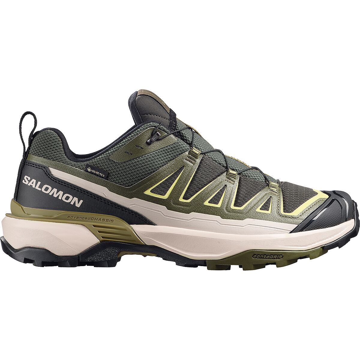
- Footwear: comfortable on miles of approach and secure on rock; use footwear whose grip you know.
- Layers: wind and rain shell, insulating layer, gloves and sun protection even on a warm approach.
- Navigation: offline route, backup power and the ability to navigate independently in reduced visibility.
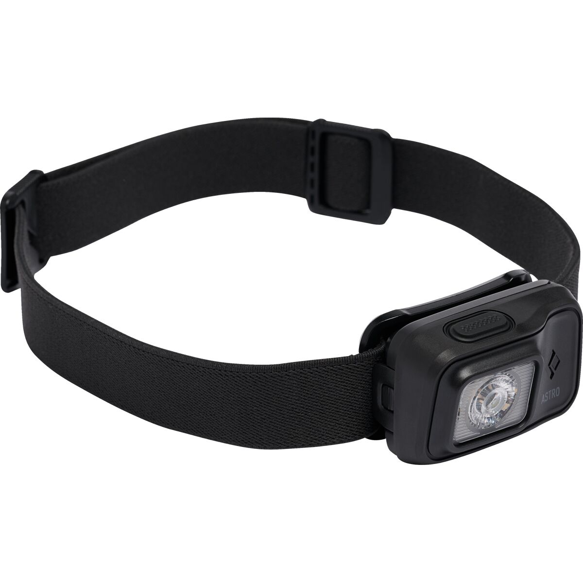
- Early start: headlamp, communication plan, food, water and emergency insulation.
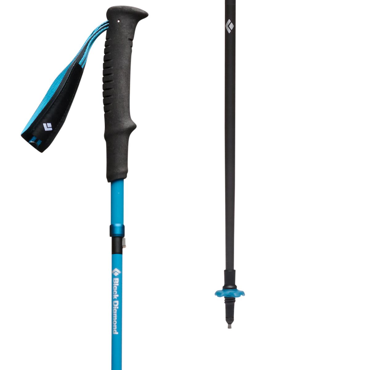
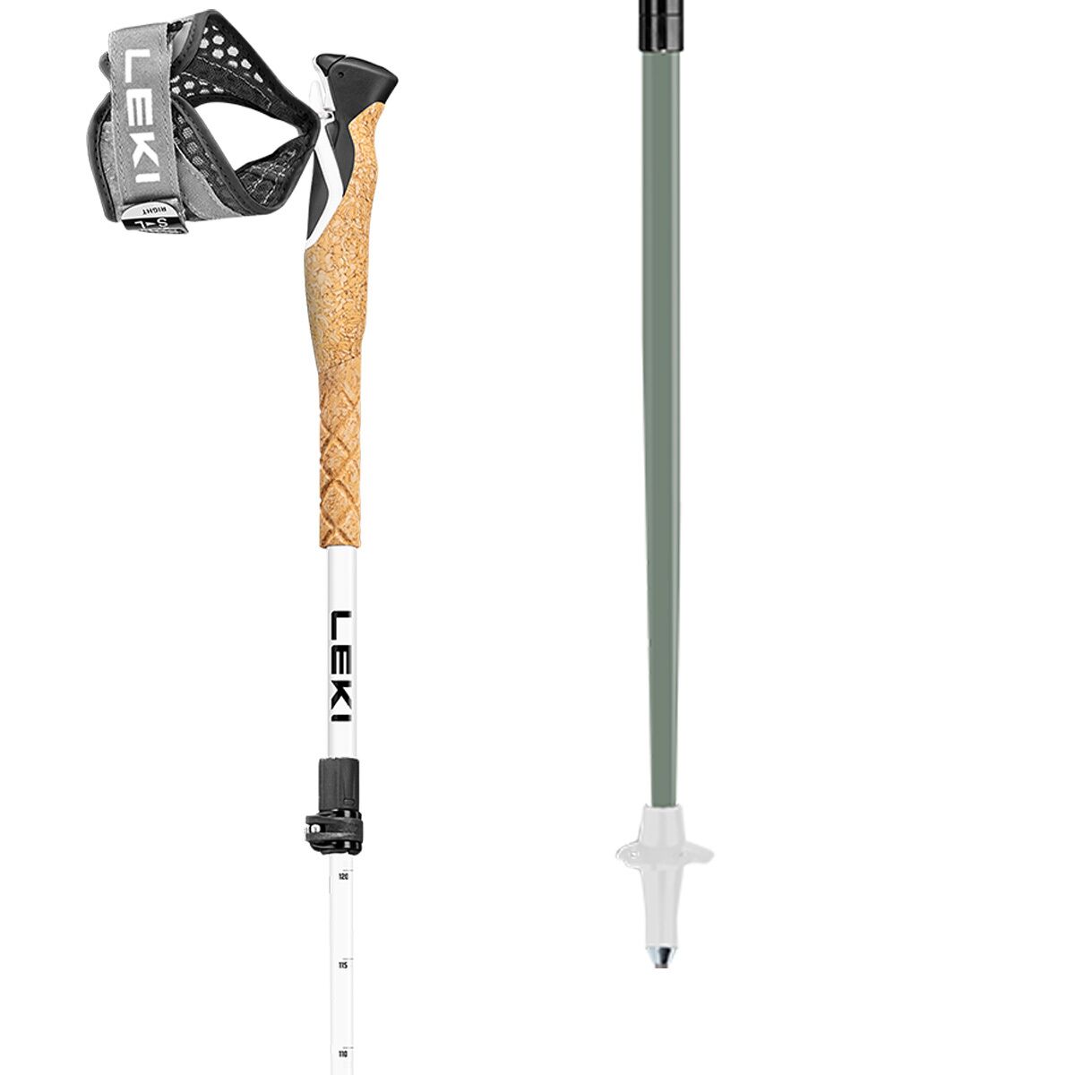
- Poles: useful on the approach, but stow them before the hands-on scrambling where they become a liability.
Snow-season warning: an ice axe or crampons do not make the route automatically reasonable. If steep snow or ice remains near the crux, the team must already possess the skills required for those conditions.
Global Summit Guide may earn a commission from qualifying purchases through the gear listings below at no additional cost to you. Merchant availability and product suitability can change; verify specifications.
Wetterhorn Class 3 Essentials
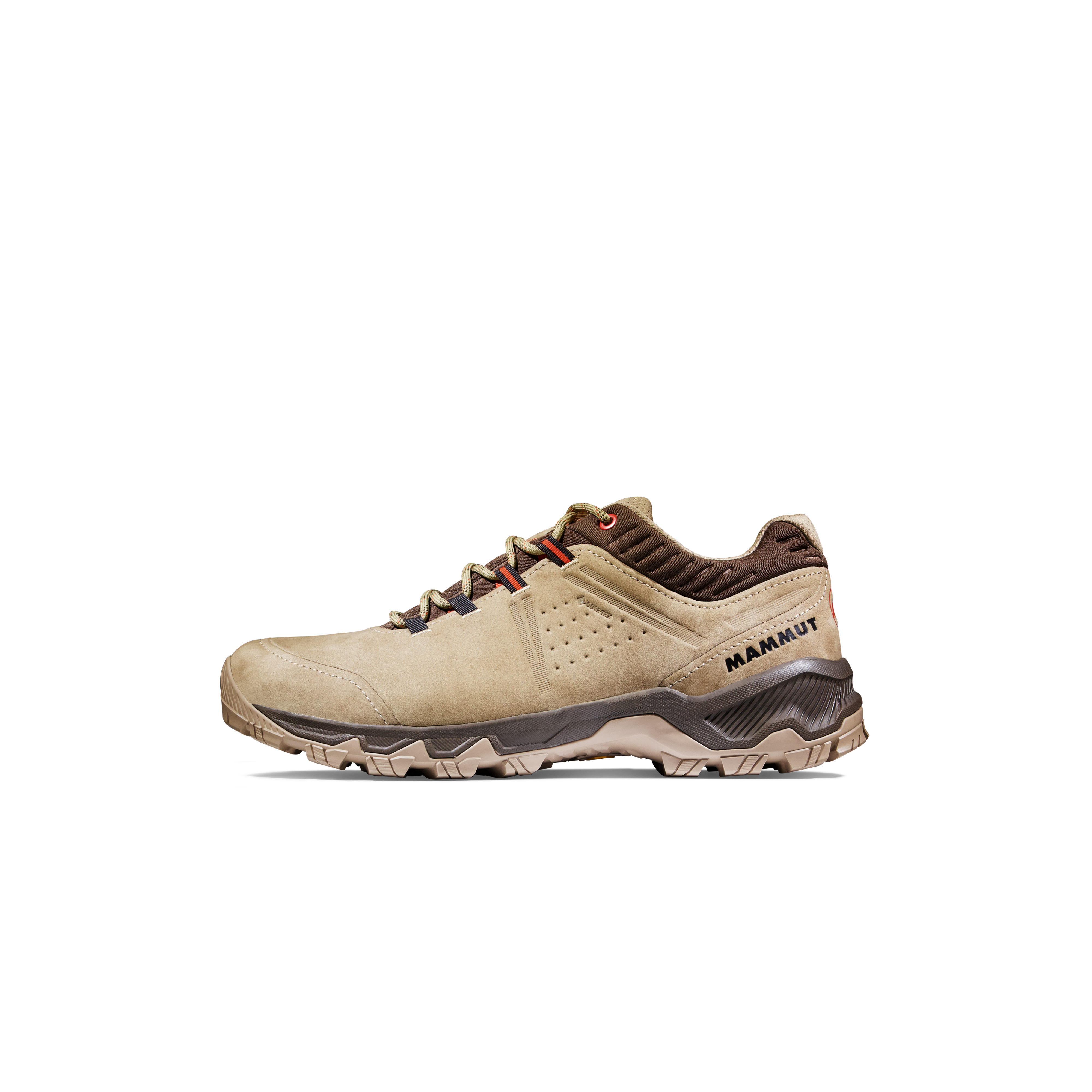
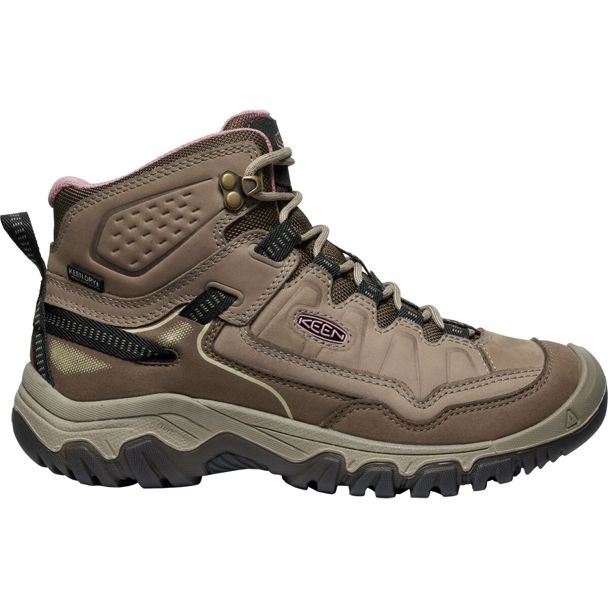
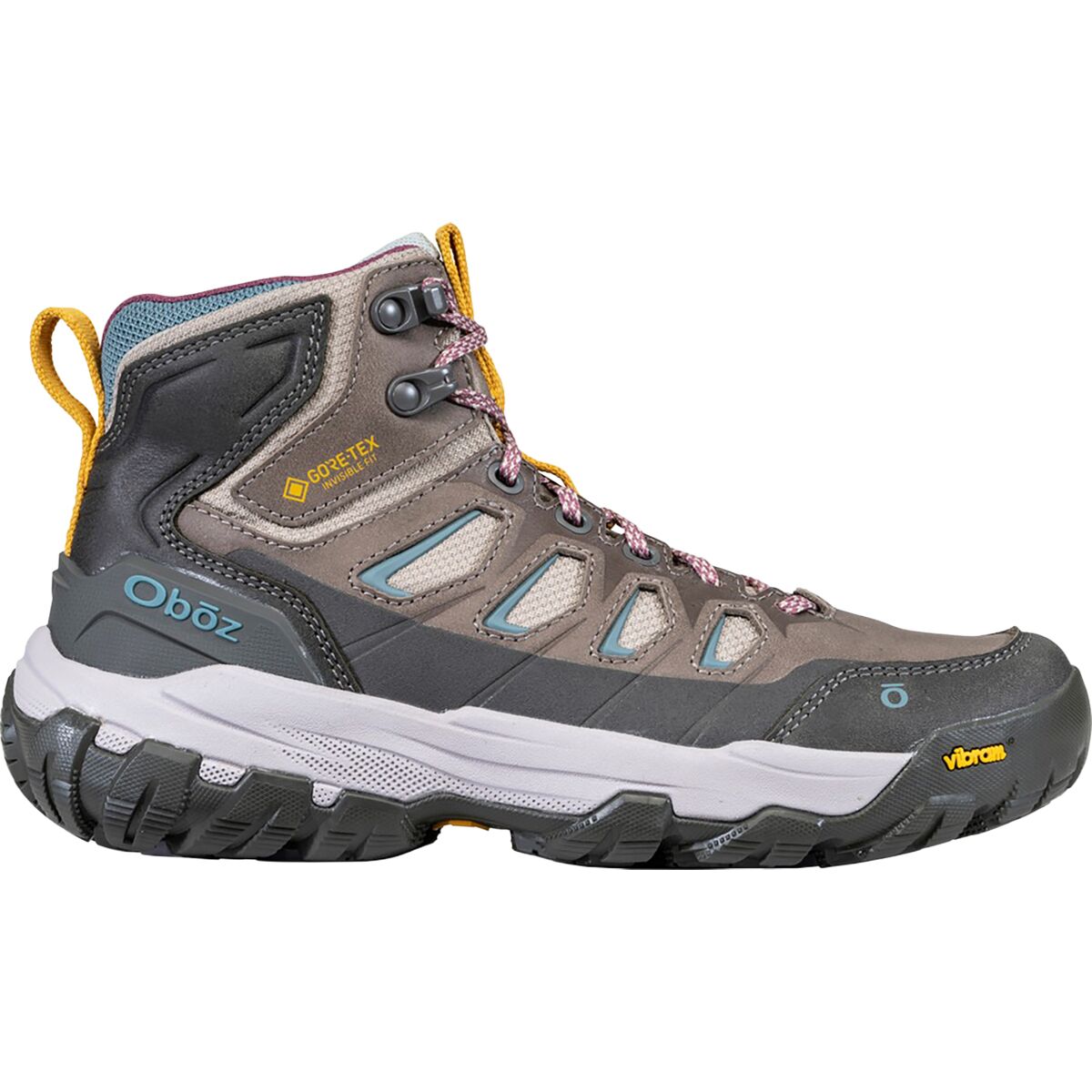
We may earn a commission if you buy through these links, at no extra cost to you. Affiliate disclosure
Approach and Early-Start Gear
Choose a Different Day or a Different Peak When Needed.
Wetterhorn has a recognizable standard ridge, but nearby mountains and other Colorado objectives test different kinds of skill. None is an appropriate improvisation once you are already committed to the exposed summit block.
| Objective | General character | What it tests | Decision |
|---|---|---|---|
| Wetterhorn Southeast Ridge | Class 3; 7 mi / 3,300 ft from upper trailhead | Exposed hands-on scrambling, route finding, rockfall judgment | Climb only when both rock conditions and the whole team’s scrambling skills support it. |
| Matterhorn Peak Southeast Slopes | Separate nearby 13er with some Class 3 | Scrambling confidence without making Wetterhorn a requirement | Useful as a standalone progression objective; assess its own route and conditions. |
| Uncompahgre Peak | Class 2 standard South Ridge; separate road/trailhead arrangements | Altitude and endurance with less technical scrambling | Better fit when the exposed Class 3 finish is outside current experience. |
| Wetterhorn East Face | Steep-snow route; a different seasonal objective | Snow-climbing technique and conditions assessment | Not a dry-season hiking alternative and not a simple bypass of the Southeast Ridge. |

The San Juans Reward Conservative Planning More Than Ambitious Last-Minute Route Changes.
This image shows Mount Sneffels, another San Juan peak—not Wetterhorn. The shared lessons are rugged access, rapid mountain weather and complex alpine terrain.
Wetterhorn Peak Map
Summit coordinates: 38.06071° N, 107.51088° W, as listed by 14ers.com. Matterhorn Creek approaches from the east/southeast side of the mountain.
The map identifies the peak and surrounding terrain, not a verified climb track. Study the current route photo walkthrough and carry downloaded navigation rather than using a general map image as a substitute.
Stay on the Restored Route and Keep the Alpine Basin Intact.
Colorado Fourteeners Initiative maintains the standard Matterhorn Creek route. Its recommendation is simple: use the established route to limit erosion in fragile alpine terrain.
The Uncompahgre Wilderness carries additional rules and restrictions. The Forest Service’s published wilderness brochure lists a maximum of 15 people per group and a combined limit of 25 people and stock animals, camping restrictions within 100 feet of trails and water, and no fires above treeline. Current posted orders take precedence over older brochures.
Keep campsites small, leave wildflowers undisturbed, do not shortcut switchbacks and avoid broadcasting a new scramble line through fragile vegetation. Animals should remain controlled; check the current district guidance for pets before departure.
A standard wilderness hiking route may still be affected by a temporary wildfire road or trail closure. Reconfirm both before traveling.
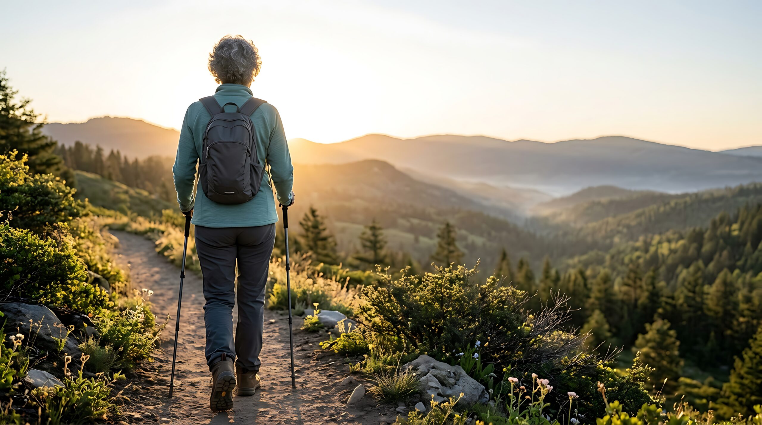
Build the Judgment That Protects Your Descent.
These three targeted non-ranking resources cover skills that apply beyond Wetterhorn without duplicating this peak-specific guide.
Mountain Weather for Climbers
Translate changing summit forecasts and fast-growing clouds into a departure and turnaround plan.
Altitude foundationAltitude Acclimatization Explained
Understand why a high trailhead and a fast climb can affect energy, pace and decision-making.
CommitmentMountain Turnaround Decisions
Set useful criteria before the Prow instead of negotiating with summit pressure mid-scramble.
Make Wetterhorn Part of a Real Class 3 Progression.
The Wetterhorn page owns this specific route, exposed summit moves and Matterhorn Creek access. The surrounding guides answer different planning questions instead of repeating the same mountain overview.
Wetterhorn Peak Planning Questions
Short answers to the route, access and readiness questions climbers need resolved before the trip.
How hard is Wetterhorn Peak?
Its standard Southeast Ridge is Class 3, rated high exposure with considerable rockfall, route-finding and commitment by 14ers.com. Expect steeper rock around the Prow and an exposed final pitch.
How long is the standard Wetterhorn climb?
About seven miles round trip and 3,300 feet of elevation gain if the upper Matterhorn Creek trailhead is accessible. Lower parking or temporary closures add mileage and sometimes elevation gain.
Can a normal car reach the upper trailhead?
Do not plan on it. The last 0.7 mile is rough 4WD access under normal open-road conditions. If your vehicle is not suitable, consider lower parking only after confirming current road and fire-closure restrictions.
Should I wear a helmet on Wetterhorn Peak?
A climbing helmet is strongly recommended for its Class 3 summit ridge, where loose rocks and other climbers above you create a significant hazard.
Is Wetterhorn a good first Colorado 14er?
Its mileage is relatively short, but the exposure and scrambling make it a better fit after simpler high-altitude peaks and introductory Class 3 practice.
How high is Wetterhorn Peak?
14ers.com’s current LiDAR summit figure is 14,021 feet. Older sources may still say 14,015 feet.
Verify These Before Traveling
14ers.com: Southeast Ridge
Current route statistics, risk ratings, route photo sequence, upper-trailhead directions and recent conditions.
USFS: Closure and Wilderness Rules
Official Gold Mountain closure orders plus broader Uncompahgre Wilderness requirements. Road permission can change independently from summit conditions.
Colorado Fourteeners Initiative
Conservation guidance and recommended Matterhorn Creek approach; stay on the restored route.
Was this helpful?
🏔Related peaks nearby
🧭Explore & compare
Global Summit Guide is an independent mountaineering resource founded in 2026. The team combines first-hand trekking and climbing experience with in-depth research and professional health and nutrition review to help climbers choose objectives, prepare properly, and stay safe.
Health, altitude, and nutrition content is reviewed by Taylor Ludlow (Registered Nurse) and Brigg Hoopes (Nutritionist).
What We Don't Know Yet
Mountain information changes quickly. This box explains the limits of what this page can responsibly promise.
- Visa, passport, vaccination, border, insurance, and local transportation rules may change before your trip.
- Route conditions, snowpack, closures, and weather can change quickly after this page is updated.
- Permit rules, fees, quotas, and reservation windows may change between review cycles.
- Operator availability, pricing, guide ratios, and cancellation terms can change by season.
- Your fitness, altitude response, risk tolerance, and experience level may change what is safe or realistic.
Verify current conditions with official land managers, guide services, local forecasts, and current route reports before booking or climbing.
Mountaineering, rock and ice climbing, glacier travel, and high-altitude activity are inherently dangerous and can result in serious injury or death. The information on Global Summit Guide is provided for general informational and educational purposes only and is not a substitute for professional instruction, qualified guiding, proper equipment, or your own judgment and experience.
Route conditions, weather, snowpack, permits, regulations, and hazards change constantly and may differ from what is described here. Details may be incomplete, out of date, or contain errors. Always verify current information with local authorities, certified guides, and official sources before making any decision in the mountains.
Nothing on this site is medical, legal, or financial advice. Our fitness, acclimatization, altitude, and nutrition content is general in nature; consult a qualified physician before beginning any strenuous exercise program or exposing yourself to high altitude.
You are solely responsible for your own safety and decisions. To the fullest extent permitted by law, Global Summit Guide and its team accept no liability for any loss, injury, damage, or expense arising from use of, or reliance on, this information. By using this site you acknowledge these risks and accept these terms.
Some links on this site may be affiliate links. If you buy through them we may earn a small commission at no extra cost to you; this never affects our recommendations.
Global Summit Guide recommendation path
Next Best Mountain to Research
Use these recommendations to continue the right planning path instead of stopping on one page.
Use current permit, weather, route, and operator information before booking or climbing.