
Last updated September 10, 2026

Mount Timpanogos Hiking Guide: Timpooneke vs Aspen Grove, Parking & Summit Plan
Choose Timpooneke for the gentler grade; choose Aspen Grove for the steeper, more direct waterfall route. Either way, Mount Timpanogos is a serious 14–16 mile-class day at nearly 12,000 feet—and parking, lingering snow and afternoon weather can decide the day before fitness does.
Timpooneke or Aspen Grove?
Timpooneke is the better default for many first-time Timpanogos hikers because the grade is generally more gradual and the route moves through broad meadows and the Timpanogos Basin before joining the upper summit trail.
Aspen Grove is the better choice if you want a more direct, steeper and waterfall-heavy experience. It climbs more aggressively through the east-side cirques and reaches the Emerald Lake zone from below.
Neither route makes Timp easy. Both are long, high, exposed to mountain weather and capable of holding hazardous snow. Your route choice should come after checking parking access, current snow, forecast, turnaround time and your ability to manage a long descent.
Timpooneke vs Aspen Grove
The most useful answer is not “which one is better?” It is which tradeoff fits your legs, parking plan and preferred mountain experience.
| Factor | Timpooneke | Aspen Grove |
|---|---|---|
| Planning distance | About 15 mi RT | About 14–15.7 mi RT |
| Approx. gain | About 4,400 ft | About 4,900–5,400 ft |
| Grade | Longer-feeling, more gradual | Steeper and more direct |
| Character | Forest, Scout Falls, Giant Staircase, broad basin | Waterfalls, steep cirque terrain, Emerald Lake approach |
| Parking | 2026 timed vehicle ticket on designated peak mornings | Fee-area access; verify current trailhead status |
| Best for | First Timp ascent, hikers who prefer a steadier grade | Hikers who value a more direct and dramatic east-side route |
| Biggest downside | Parking/ticket complexity and high use | More vertical and steeper climbing |
| Our decision | Best default for most first-time summit hikers | Best if waterfalls/directness matter more than grade |
Two Trailheads, One Upper Mountain
Both routes eventually feed into the same high Timpanogos system. The biggest differences happen in the lower and middle mountain.
Longer Rhythm, Gentler Climbing
Timpooneke begins around 7,400 feet in the American Fork side of the Alpine Loop and climbs through aspen, conifer forest, open meadows and the Giant Staircase. Scout Falls makes a natural early landmark before the route opens into higher basin country.
- Why choose it: more gradual climbing and a classic broad-basin approach.
- What surprises people: the summit still feels a long way away once the terrain opens.
- Best pacing strategy: deliberately easy first two hours; save legs for the summit ridge and descent.
- 2026 logistics: timed vehicle ticket required during designated peak morning periods.
Steeper, More Direct, More Waterfall Drama
Aspen Grove starts higher and attacks the east side more directly. The trail passes waterfall terrain and climbs through dramatic glacially carved basins toward Emerald Lake. The shorter-feeling route comes with more elevation gain and a stiffer grade.
- Why choose it: waterfalls, directness and strong east-side mountain scenery.
- What surprises people: “shorter” does not mean easier because the vertical comes faster.
- Best pacing strategy: keep the early climb controlled; do not burn matches below Emerald Lake.
- Logistics: still a fee-area trailhead—verify current Forest Service access before driving up.
Shuttle option: Experienced local hikers sometimes ascend one route and descend the other when a two-vehicle shuttle is arranged. Treat that as a logistics choice, not a shorter route; both trailheads must be handled correctly and the long descent still remains.

This Is the Mountain Utah Valley Measures Itself Against.
Timpanogos is not Utah’s highest peak and it is not the highest summit in the Wasatch. It is the most recognizable full-day summit above Utah Valley—and that combination of accessibility, distance, scenery and tradition is why so many hikers make it a seasonal goal.
Parking & Access Can Decide the Hike Before Sunrise
Timpanogos is popular enough that parking is no longer a footnote. Timpooneke in particular must be planned before the alarm is set.
Timed Tickets on Peak Mornings
For the current 2026 season, Recreation.gov lists timed vehicle tickets for Saturdays, Sundays and specified holidays during its seasonal program, covering the midnight-to-noon morning window. A printed ticket is required to be visible in the vehicle.
Tickets are released through advance and short-window booking pools. The reservation holder must be present, and one reservation covers one private vehicle.
Check current Timpooneke tickets →Fee-Area Access, Different Parking Problem
Aspen Grove does not use the same Timpooneke timed-ticket system in the current sources reviewed for this rebuild, but the trailhead sits in the Alpine Loop recreation area and parking still fills on high-demand days.
Do not translate “no Timpooneke timed ticket” into “no logistics.” Confirm current road, trailhead and fee status before departure.
Check Forest Service status →Best Season for a Normal Timpanogos Hike
Summer trail descriptions only apply when the upper mountain is actually in summer condition.
| Period | Likely character | Primary concern | Best fit |
|---|---|---|---|
| Spring | Snow-covered upper mountain | Avalanche hazard, hard snow, route-finding | Only hikers with appropriate snow-travel judgment and current conditions |
| Early summer | Trail opening below; lingering high snow possible | Snow crossings can turn an easy trail into higher-consequence travel | Conditions-dependent |
| Mid/late summer | Most reliable ordinary hiking conditions | Heat, crowds, lightning, parking | Best general hiking window |
| September | Cooler, often excellent hiking | Shorter days, early cold fronts | Excellent when forecast is stable |
| October+ | Transition toward winter | Snow, ice, wind, road changes, short daylight | Experience and current-condition dependent |
Build the Day Backward From Weather & Turnaround Time
A pre-dawn start is useful, but “start early” is not a plan. A real plan assigns time to the upper mountain and descent before fatigue arrives.
Start deliberately slow. Confirm headlamp, water, layers and navigation before leaving the parking area. Do not try to “make time” in the first hour.
Eat before hunger arrives and compare actual pace with the plan. If snow is appearing earlier than expected, reassess before committing higher.
This is a logical decision point. Check weather growth, energy, water, descent time and the upper route before treating the summit as automatic.
Keep the summit stop controlled. Most of the mileage and many injuries happen with tired legs on descent; preserve daylight and concentration for the way down.
It Is a Hike—but “Non-Technical” Does Not Mean Easy.
The standard snow-free routes do not require roped climbing. The challenge comes from stacking mileage, vertical gain, altitude and a long descent.
Long-Day Endurance
Most hikers need the ability to remain functional for eight to twelve hours, not simply enough fitness to reach the summit. Strong uphill performance followed by a deteriorating descent is not good readiness.
Train for the whole day, especially downhill durability.Nearly 12,000 Feet
Visitors arriving from low elevation may notice slower pace, headache or reduced appetite. Acclimatization response varies widely, and worsening altitude symptoms are a reason to stop ascending.
Review acclimatization →Exposed Upper Terrain
Summer convective weather can build quickly. Use the National Weather Service plus a mountain-specific forecast and watch the sky rather than treating the morning forecast as a guarantee.
Use the mountain-weather framework →Conditions Can Change the Rating
Lingering snow can create sliding hazards and route-finding problems. Equipment only helps when the hiker has the skill to use it; owning traction or an ice axe is not the same as being competent on steep snow.
Rate the conditions you have, not the trail in August.Pack for a Long Alpine Day, Not a Valley Forecast
The summit sits thousands of feet above Utah Valley. Heat at the trailhead can coexist with wind, cold or storms high on the ridge.
Core Day-Hike System
- Headlamp with enough battery for an unplanned dark descent
- Offline map / GPS plus backup navigation
- Water capacity appropriate to heat and route
- Food for a full day plus reserve calories
- Wind/rain shell and warm layer
- Sun protection
- First-aid and blister kit
- Trekking poles if they help your descent
Snow & Cold Add-Ons
- Traction only when conditions and skill justify it
- Ice axe only with practiced self-arrest / snow-travel skill
- Warmer gloves and insulation during shoulder season
- Additional navigation margin when snow obscures trail
Timpanogos Fits Into a Bigger Wasatch Progression.
We treat Timp as a major hiking objective rather than as an isolated attraction because that is how local hikers actually use the mountain.
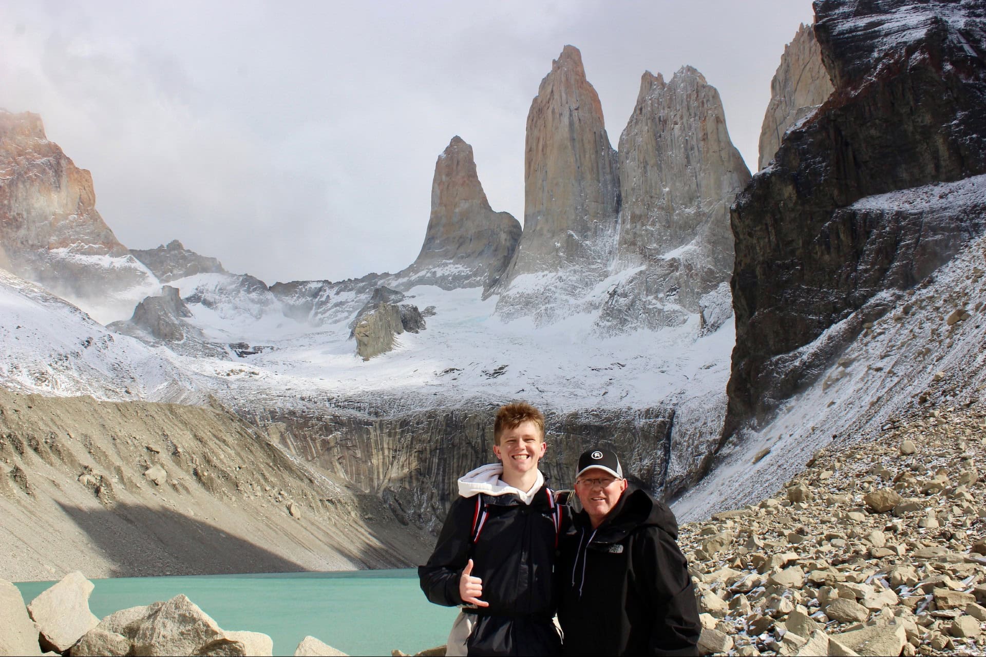
Utah-Based Research & First-Hand Wasatch Context
Global Summit Guide is run from Utah, and our local mountain coverage is built around repeated Wasatch hiking and climbing experience plus primary-source verification. The value of that perspective is not claiming every condition is personally observed; it is understanding how Timpanogos fits between shorter training summits and harder Wasatch objectives.
For many hikers, Timp is the first truly long, high summit day. From there, the next question is whether they want the quieter Wasatch high point on Mount Nebo, a broader multi-peak challenge in the Wasatch 7, or more technical scrambling elsewhere in the range.
Go Deeper Without Making This Page Own Every Utah Query
These links strengthen the Utah architecture while keeping the Timpanogos guide focused on the mountain itself.
Wasatch Range Peaks
Use the range inventory when you want to see where Timpanogos sits among the major Wasatch summits rather than planning this one hike.
Explore Wasatch peaks → Deep recovery · County intentBest Peaks in Utah County
Timpanogos is the signature Utah County objective, but Provo Peak, Cascade, Lone Peak and other county mountains create the broader local progression.
Explore Utah County peaks → Deep recovery · State challengeUtah Range High Points
Move beyond the Wasatch into the Uintas, La Sals, Tushars, Henry Mountains and other statewide high points.
Explore Utah range high points → Protected comparison intentTimpanogos vs Mount Nebo
If the real question is which of the two great Wasatch summits you should hike, use the dedicated comparison instead of forcing that intent into this guide.
Compare Timp vs Nebo →Make Timpanogos the Objective—Then Build the Day in My Climb.
Choose Timpooneke or Aspen Grove, save the mountain, then verify parking, current trail status, forecast, snow, personal readiness and turnaround time. That sequence is more useful than reading another generic “top Utah hikes” list.
What We Verified for This Rebuild
Access, parking and mileage are exactly where old trail guides become stale. We separated stable mountain facts from changeable logistics.
Primary/current sources
How to use the numbers
Published route distances vary because mapped routes, junction choices and GPS recordings differ. We therefore use a planning range. Elevation-gain figures also vary, especially on Aspen Grove.
Parking systems, ticket windows, fees, road status and snow conditions are time-sensitive. Verify them immediately before the hike. This page is a planning resource, not a substitute for current land-manager notices, route-finding judgment or snow-travel training.
Mount Timpanogos FAQ
Concise answers to the queries this evergreen mountain guide should own.
Which Mount Timpanogos trail is better: Timpooneke or Aspen Grove?
Choose Timpooneke for the gentler grade and classic basin approach. Choose Aspen Grove for a steeper, more direct route with waterfalls and a strong Emerald Lake approach. For many first-time summit hikers, Timpooneke is the easier route to pace conservatively.
How long is the Mount Timpanogos hike?
Plan on roughly a 14–16 mile round trip depending on route and mapping source. Current reputable sources differ slightly, so treat the mileage as a planning range rather than a false exact number.
Do you need a permit to hike Mount Timpanogos?
There is no general summit permit for an ordinary day hike, but Timpooneke Trailhead currently uses timed vehicle tickets during designated peak weekend and holiday morning periods. Recreation fees and parking rules can change, so verify them before departure.
Does Timpooneke require a parking reservation in 2026?
Yes. Recreation.gov currently lists timed vehicle tickets on Saturdays, Sundays and specified holidays during the seasonal program, for morning use through noon. Check the official ticket page for exact 2026 dates and availability.
How hard is Mount Timpanogos?
Timpanogos is a strenuous high-elevation day hike. The standard snow-free routes are mainly trail hiking, but the combination of roughly 14–16 miles, 4,400–5,400 feet of gain and a summit near 12,000 feet makes it a serious full day.
What is the best time to hike Mount Timpanogos?
For ordinary snow-free hiking, mid-to-late summer through early fall is generally the most reliable window. Snow can linger well into summer and autumn storms can arrive early. Verify the actual mountain conditions rather than relying on month alone.
Is the Timpanogos Glacier a real glacier?
The feature traditionally called the Timpanogos Glacier is better described as a persistent snowfield / relict rock-glacier setting. Utah Geological Survey explains that Utah’s modern snowfields are not active glaciers in the usual sense.
How early should you start Mount Timpanogos?
A pre-dawn start is a strong summer default because it helps with parking, daylight, heat and afternoon thunderstorm exposure. Set the exact time from your route, expected pace, current forecast and a hard turnaround plan.
For Your First Timp Summit, Timpooneke Is the Better Default—If You Can Secure the Parking Plan.
Choose Aspen Grove when you want the steeper, waterfall-rich route. Whichever trail you choose, start with current parking and snow conditions, then build the day backward from weather and turnaround time. Timpanogos deserves a full-day plan, not just an early alarm.
Timpanogos: Our Utah Mountain Experience
Explore more of the Wasatch summits, comparisons and field reports our team has experienced directly.
Mount Timpanogos: Plan the Whole Climb
Permits, routes, difficulty, weather and logistics all decide the day. Start with the main guide, then go deeper below.
Was this helpful?
Global Summit Guide is an independent mountaineering resource founded in 2026. The team combines first-hand trekking and climbing experience with in-depth research and professional health and nutrition review to help climbers choose objectives, prepare properly, and stay safe.
Health, altitude, and nutrition content is reviewed by Taylor Ludlow (Registered Nurse) and Brigg Hoopes (Nutritionist).
What We Don't Know Yet
Mountain information changes quickly. This box explains the limits of what this page can responsibly promise.
- Comparisons simplify complex decisions; the better mountain depends on current conditions, skills, timing, budget, and risk tolerance.
- Visa, passport, vaccination, border, insurance, and local transportation rules may change before your trip.
- Route conditions, snowpack, closures, and weather can change quickly after this page is updated.
- Permit rules, fees, quotas, and reservation windows may change between review cycles.
- Operator availability, pricing, guide ratios, and cancellation terms can change by season.
Verify current conditions with official land managers, guide services, local forecasts, and current route reports before booking or climbing.
Mountaineering, rock and ice climbing, glacier travel, and high-altitude activity are inherently dangerous and can result in serious injury or death. The information on Global Summit Guide is provided for general informational and educational purposes only and is not a substitute for professional instruction, qualified guiding, proper equipment, or your own judgment and experience.
Route conditions, weather, snowpack, permits, regulations, and hazards change constantly and may differ from what is described here. Details may be incomplete, out of date, or contain errors. Always verify current information with local authorities, certified guides, and official sources before making any decision in the mountains.
Nothing on this site is medical, legal, or financial advice. Our fitness, acclimatization, altitude, and nutrition content is general in nature; consult a qualified physician before beginning any strenuous exercise program or exposing yourself to high altitude.
You are solely responsible for your own safety and decisions. To the fullest extent permitted by law, Global Summit Guide and its team accept no liability for any loss, injury, damage, or expense arising from use of, or reliance on, this information. By using this site you acknowledge these risks and accept these terms.
Some links on this site may be affiliate links. If you buy through them we may earn a small commission at no extra cost to you; this never affects our recommendations.
Global Summit Guide recommendation path
Next Best Mountain to Research
Use these recommendations to continue the right planning path instead of stopping on one page.
Use current permit, weather, route, and operator information before booking or climbing.
Explore Travel Options for Your Destination
Once your mountain, dates and route are taking shape, compare flights, hotels and other travel options that fit the trip.
Affiliate link. We may earn a commission at no additional cost to you.