
Last updated October 2, 2026

La Plata Peak Hike: Northwest Ridge Route & Complete Guide
La Plata Peak rises to about 14,344 feet in Colorado’s Sawatch Range. The standard Northwest Ridge is a long but approachable Class 2 route: roughly 9.25 miles round trip with 4,400 feet of gain, good trail access and a rocky upper ridge that rewards an early start.
Is La Plata Peak a Good Colorado 14er?
Yes—if you are ready for a long day. La Plata’s Northwest Ridge is one of the better Class 2 Sawatch objectives for hikers who already have solid fitness and want to step beyond the easiest walk-up 14ers without moving into sustained Class 3 terrain.
The trailhead is reached directly from Colorado Highway 82, the lower route is easy to follow, and the main challenge is endurance: nearly 4,400 feet of gain followed by a rocky final ridge. Compared with the shorter Southwest Ridge, the standard route is longer but simpler to navigate and generally the better first choice.
Start early. The upper mountain is exposed to Colorado’s rapidly developing afternoon thunderstorms, and the descent is long enough that a late summit can leave you above treeline when weather deteriorates.
La Plata Peak Route Comparison
The shortest route is not automatically the best route. The Northwest Ridge remains the standard because of its easier access, clearer trail and lower route-finding burden.
| Route | Distance | Gain | Class | Exposure / route finding | Best for |
|---|---|---|---|---|---|
| Northwest Ridge | 9.25 mi | 4,400 ft | Class 2 | Moderate exposure · low route-finding | Best first choice |
| Southwest Ridge | 7.5 mi | 3,600 ft | Class 2 | More route-finding · more rockfall concern | Experienced hikers |
| Ellingwood Ridge | 9.5 mi | 5,900 ft | Class 3 | High exposure · high route-finding | Experienced scramblers |
| North Face | 8.75 mi | 4,500 ft | Difficult Class 2 snow | Seasonal snow hazards | Experienced snow climbers |

Northwest Ridge: What the Day Feels Like
Highway 82 to the forest trail
From the parking area, the route briefly follows South Fork Lake Creek Road before turning onto the La Plata Gulch Trail. Early creek crossings are bridged and navigation is straightforward.
The steep forest climb
The trail steepens significantly around the lower gulch. This is where pacing matters: pushing too hard below treeline can make the upper ridge feel much harder later.
Treeline and the upper basin
Once the route opens above the trees, the scale of the Sawatch becomes obvious. Weather visibility improves—but exposure to wind, sun and storms increases quickly.
The rocky Northwest Ridge
The final ridge is Class 2 rather than technical climbing, but tired hikers still need careful foot placement. Rockfall potential and moderate exposure make spacing and awareness important.

La Plata Trailhead & Access
The Northwest Ridge trailhead is one of the standard route’s major advantages: it is reached from paved Colorado Highway 82 rather than a rough 4WD approach.
From Leadville
Take U.S. 24 south to Colorado 82 toward Twin Lakes and Independence Pass. The marked La Plata trailhead is along the highway corridor.
From Aspen
When Independence Pass is seasonally open, Highway 82 provides access from the west. Do not assume the pass is open outside the normal summer season.
Parking strategy
Arrive early. A pre-dawn start reduces both parking pressure and the chance of being high on the ridge during afternoon storms.
What “Class 2” Means on La Plata
Class 2 does not mean easy. It means the route generally avoids sustained hands-on technical scrambling, while still requiring balance, route awareness and strong endurance.
Endurance
4,400 feet of gain is the central challenge. For many hikers, the day lasts far longer than the mileage suggests.
Exposure
The standard route has moderate exposure. A slip in some upper-ridge areas could still have serious consequences.
Altitude
La Plata rises well above 14,000 feet. Acclimatization, hydration and pacing matter even if the terrain feels manageable.
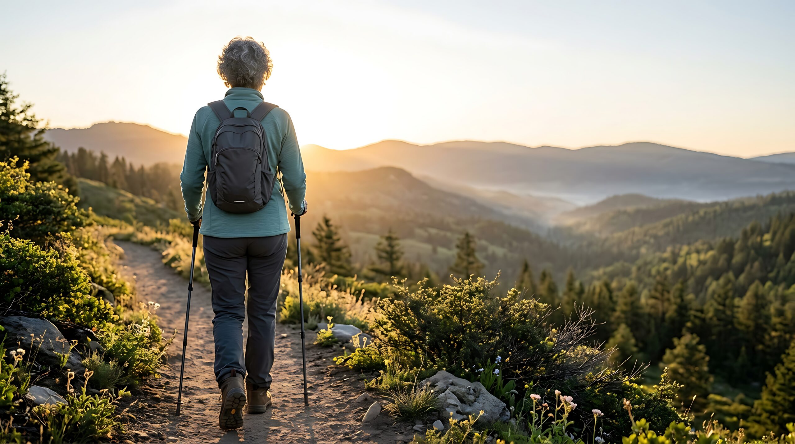
Start Early Enough to Beat the Storm Cycle
Thunderstorms
Colorado’s high peaks can develop lightning rapidly in summer. Build enough schedule margin to be descending before the afternoon storm window.
Wind & temperature
A warm trailhead does not predict summit conditions. Carry layers that can handle wind and a sudden temperature drop.

What to Carry for La Plata Peak
Trail shoes or hiking boots with reliable traction.
Especially useful on the long descent and steep forest section.
Wind shell, insulation and weather protection even on a warm forecast.
Offline map or GPX plus a backup method.
Carry enough for a long high-output day.
Headlamp, first aid, communication plan and delay margin.
Recommended partner gear:
La Plata Peak Hiking Gear
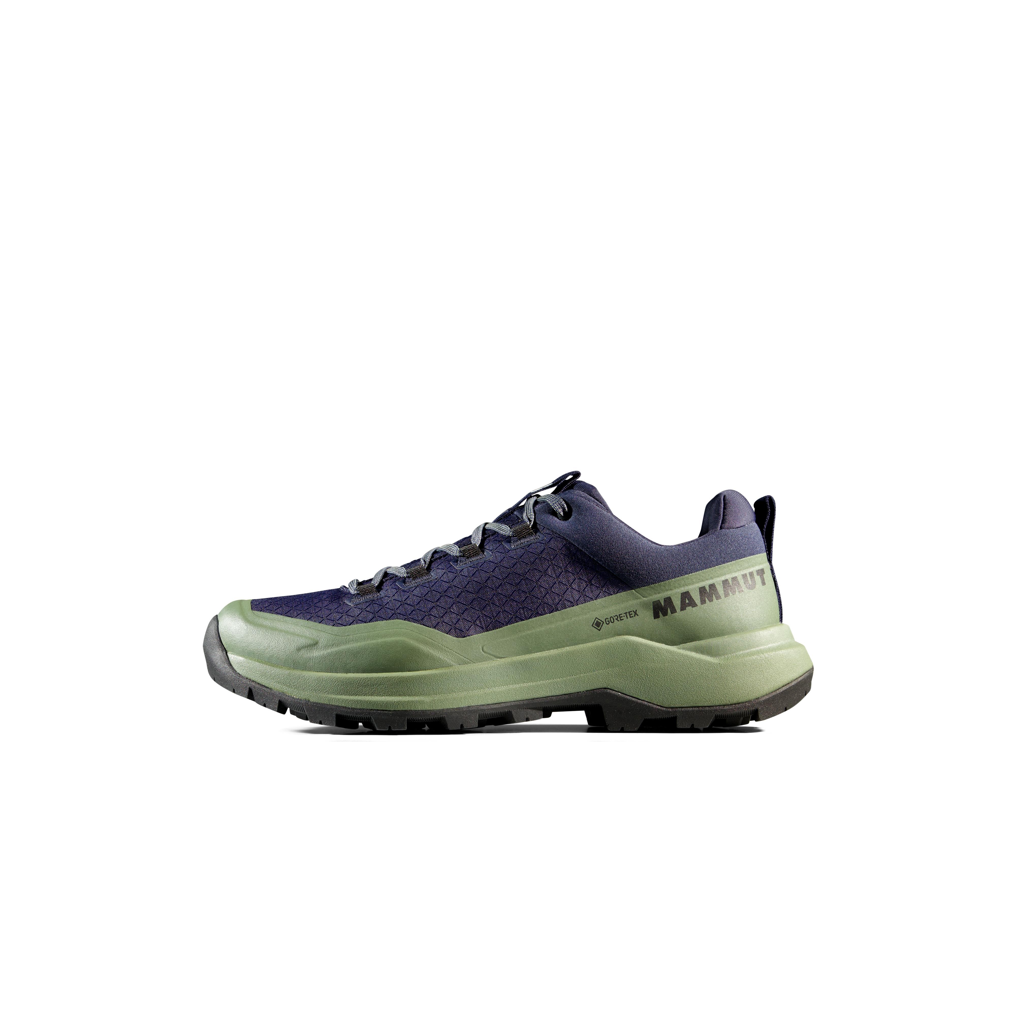
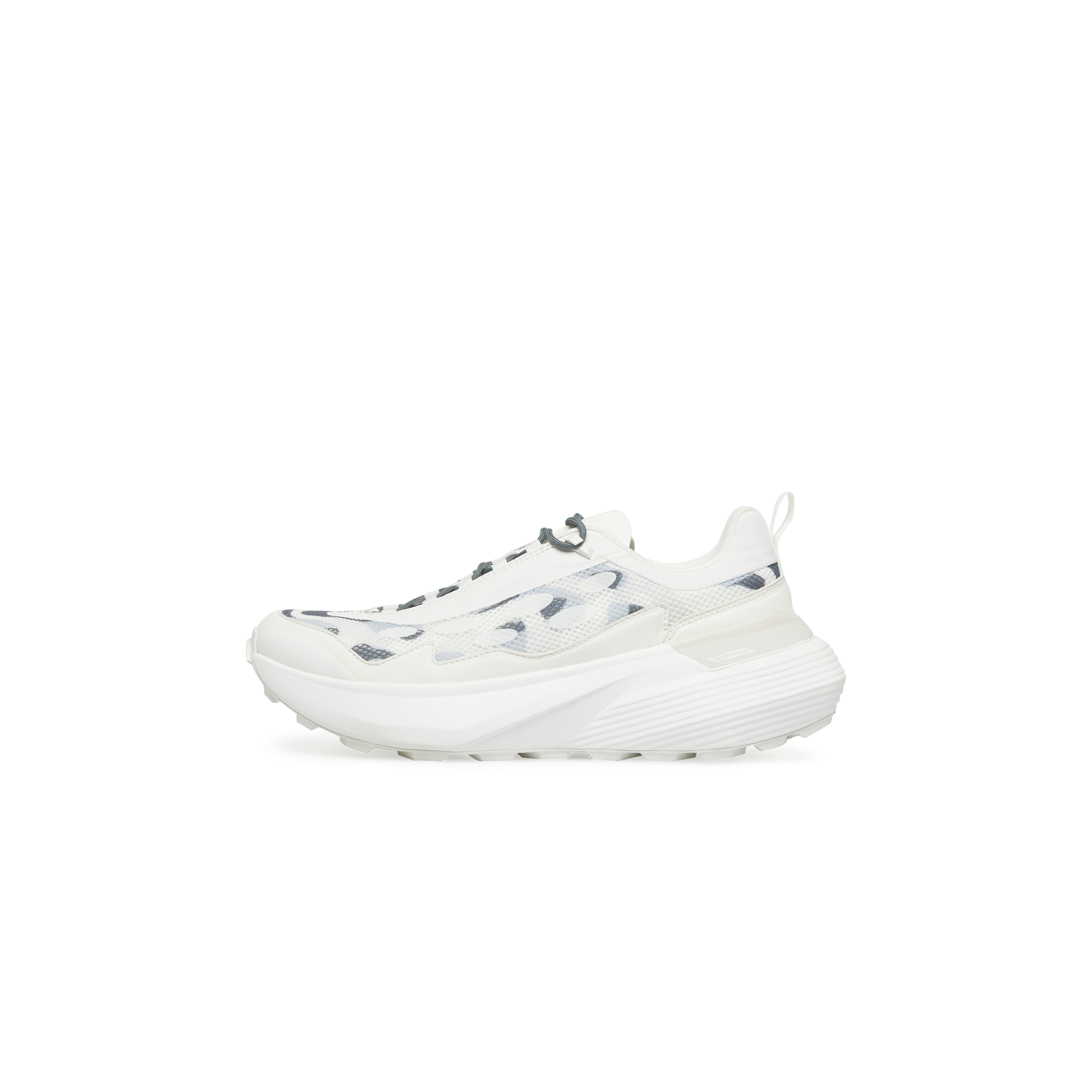

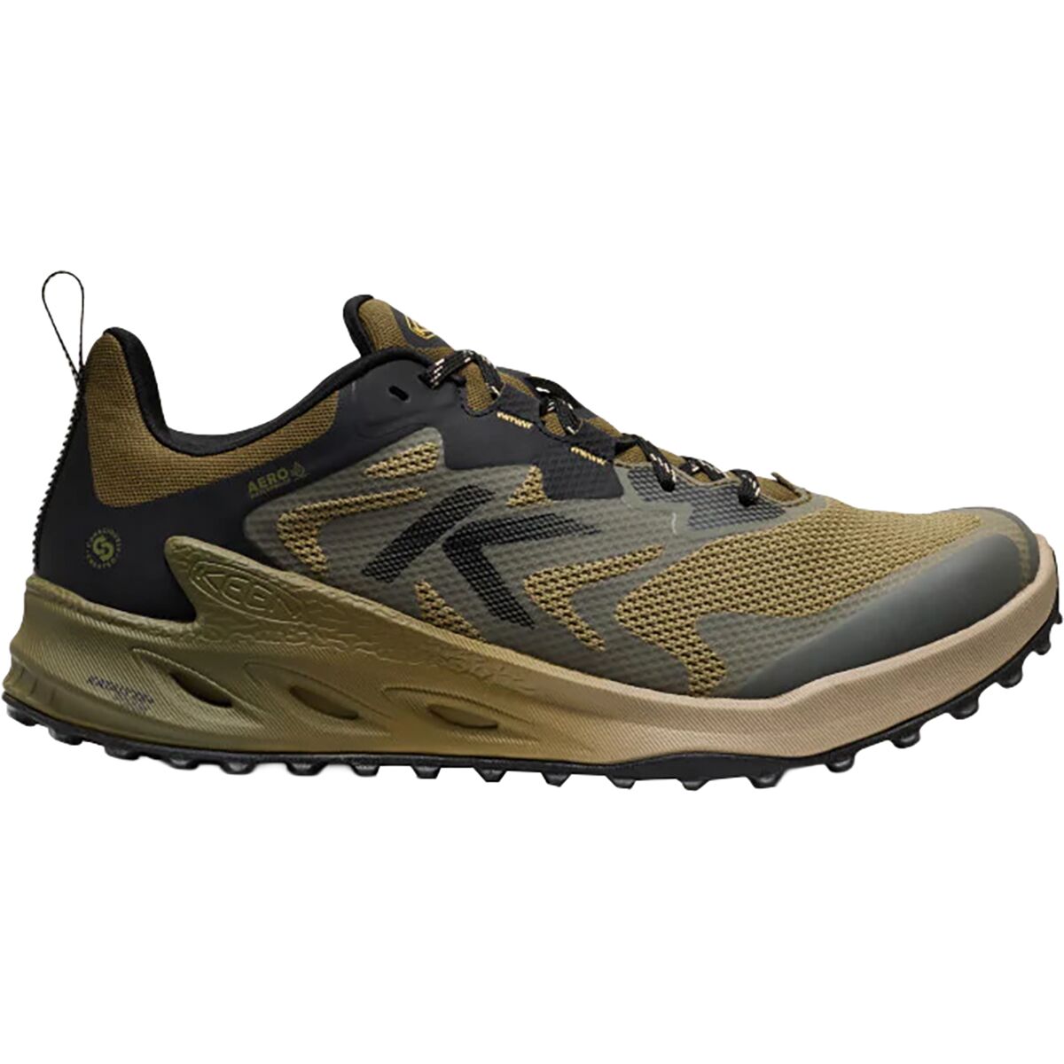
We may earn a commission if you buy through these links, at no extra cost to you. Affiliate disclosure

Weather and emergency essentials:
Colorado 14er Essentials
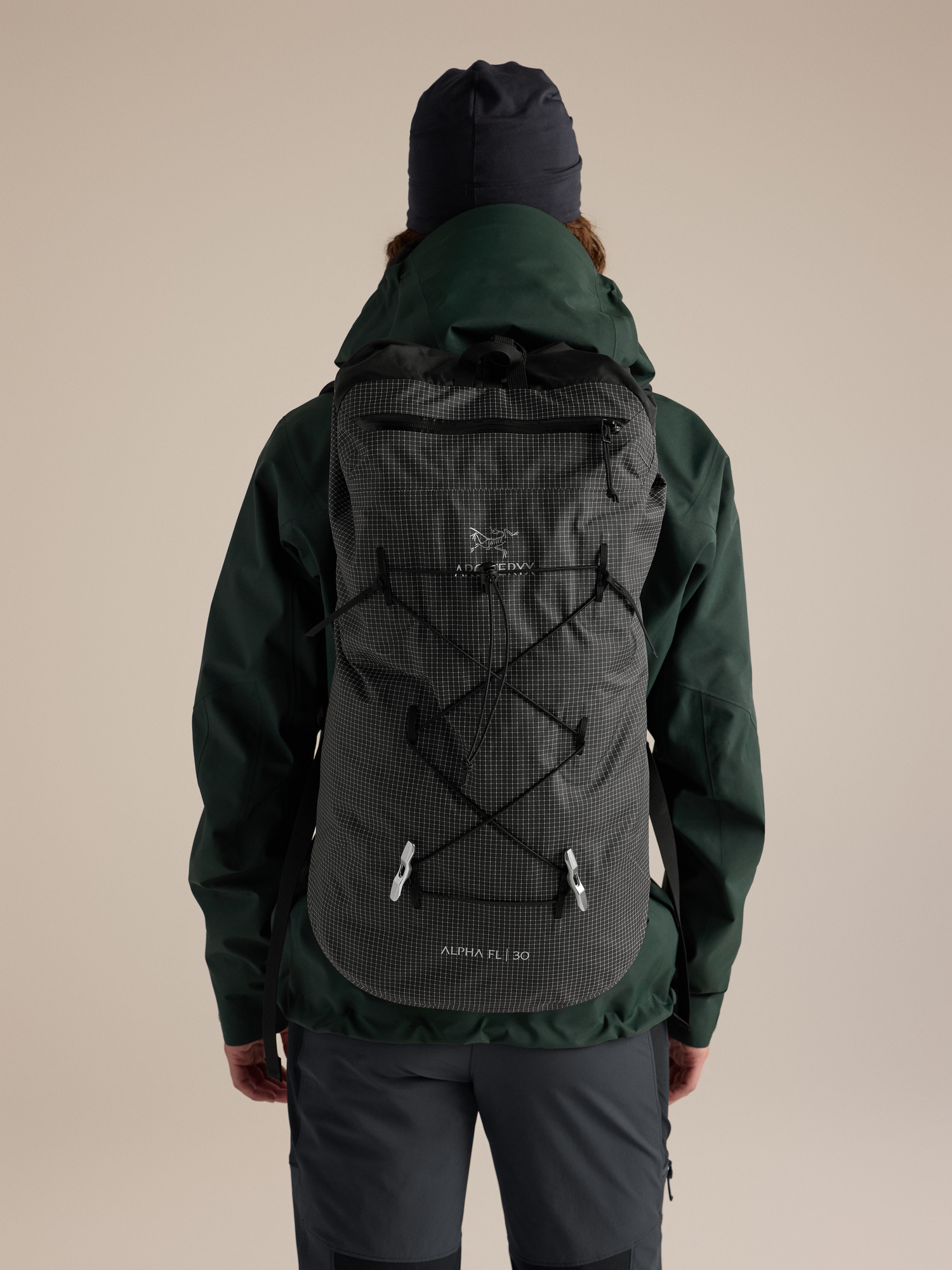
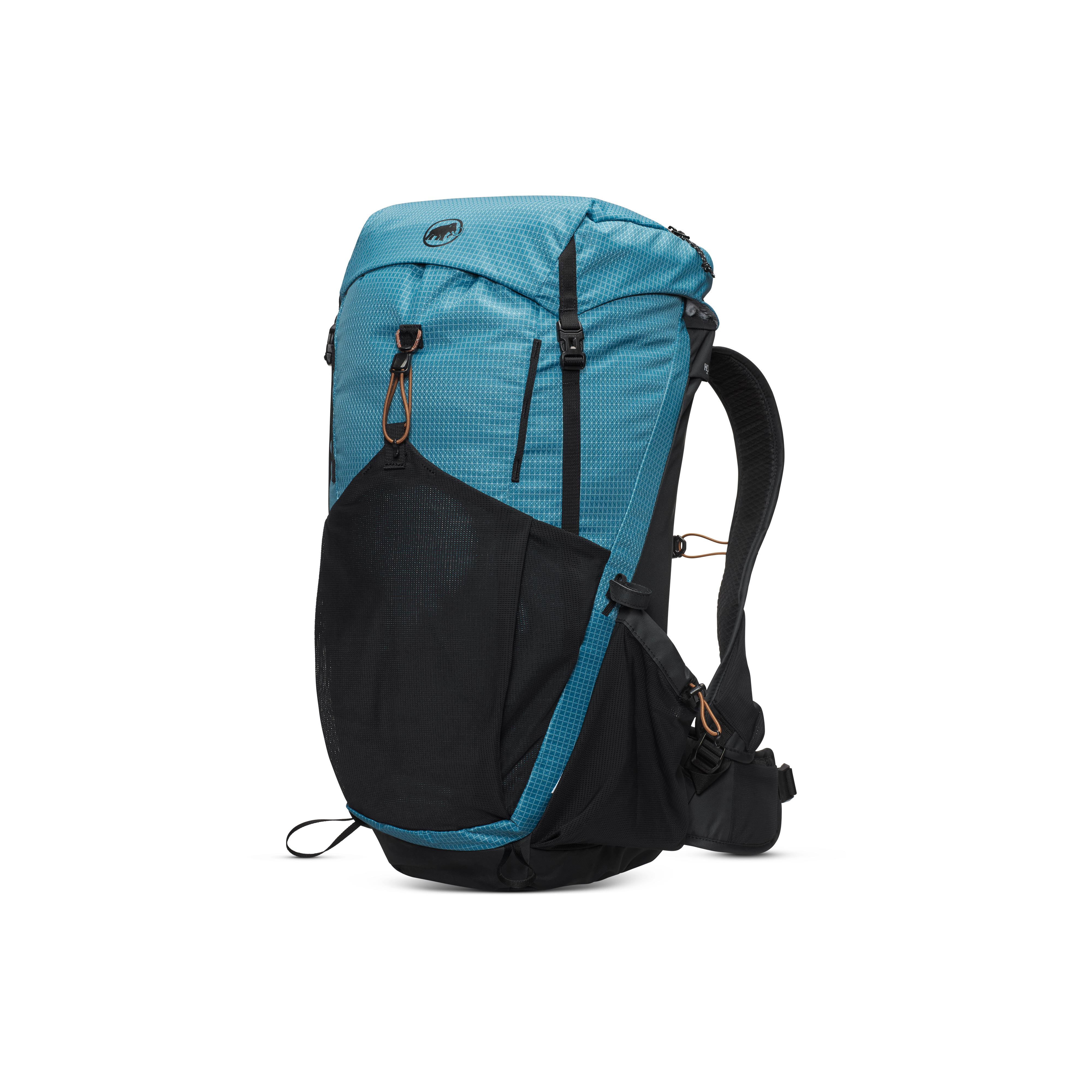

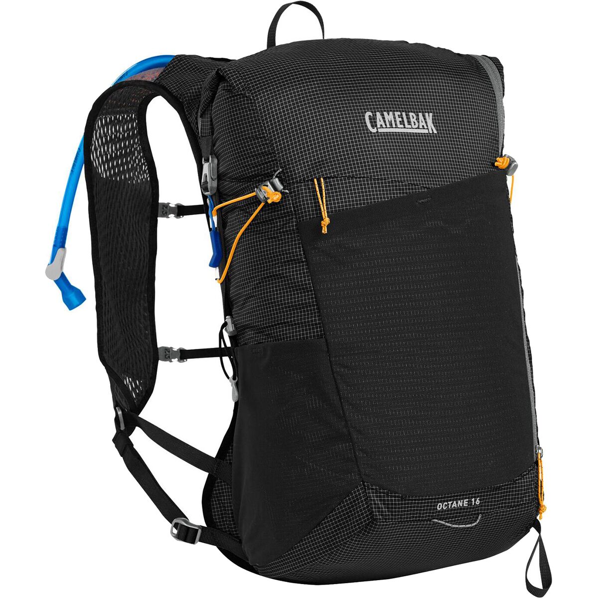
We may earn a commission if you buy through these links, at no extra cost to you. Affiliate disclosure

La Plata Peak Map
This map is for general geographic orientation. Use a current route map or GPX for navigation.
La Plata Peak lies southwest of Twin Lakes in Colorado’s Collegiate Peaks Wilderness.
Northwest Ridge vs Southwest Ridge
Choose Northwest Ridge if…
You want the standard route, straightforward trailhead access, lower route-finding complexity and the best first experience of La Plata.
Choose Southwest Ridge if…
You already have more Colorado mountain experience, understand the access logistics and are comfortable with looser terrain and more route-finding.
La Plata Peak Questions
How hard is La Plata Peak?
The standard Northwest Ridge is Class 2 with about 9.25 miles round trip and 4,400 feet of gain. The terrain is not highly technical, but the length and altitude make it a strenuous day.
Which route should I climb first?
The Northwest Ridge. It has easier road access, lower route-finding complexity and a more established trail than the Southwest Ridge.
Is La Plata harder than Mount Bierstadt?
For most hikers, yes. La Plata requires substantially more vertical gain and a longer sustained effort.
Can I climb La Plata in winter?
Winter changes the objective completely. Snow, avalanche terrain, cold and access conditions require winter-specific skills and planning.
What time should I start?
Start early enough to leave a large weather margin. A pre-dawn start is common because afternoon thunderstorms can develop rapidly.
Keep Building Your Colorado Progression

Was this helpful?
🏔Related peaks nearby
🧭Explore & compare
Global Summit Guide is an independent mountaineering resource founded in 2026. The team combines first-hand trekking and climbing experience with in-depth research and professional health and nutrition review to help climbers choose objectives, prepare properly, and stay safe.
Health, altitude, and nutrition content is reviewed by Taylor Ludlow (Registered Nurse) and Brigg Hoopes (Nutritionist).
What We Don't Know Yet
Mountain information changes quickly. This box explains the limits of what this page can responsibly promise.
- Route conditions, trailhead access, crevasse exposure, stream crossings, and rescue access may vary from published planning guidance.
- Route conditions, snowpack, closures, and weather can change quickly after this page is updated.
- Permit rules, fees, quotas, and reservation windows may change between review cycles.
- Operator availability, pricing, guide ratios, and cancellation terms can change by season.
- Your fitness, altitude response, risk tolerance, and experience level may change what is safe or realistic.
Verify current conditions with official land managers, guide services, local forecasts, and current route reports before booking or climbing.
Mountaineering, rock and ice climbing, glacier travel, and high-altitude activity are inherently dangerous and can result in serious injury or death. The information on Global Summit Guide is provided for general informational and educational purposes only and is not a substitute for professional instruction, qualified guiding, proper equipment, or your own judgment and experience.
Route conditions, weather, snowpack, permits, regulations, and hazards change constantly and may differ from what is described here. Details may be incomplete, out of date, or contain errors. Always verify current information with local authorities, certified guides, and official sources before making any decision in the mountains.
Nothing on this site is medical, legal, or financial advice. Our fitness, acclimatization, altitude, and nutrition content is general in nature; consult a qualified physician before beginning any strenuous exercise program or exposing yourself to high altitude.
You are solely responsible for your own safety and decisions. To the fullest extent permitted by law, Global Summit Guide and its team accept no liability for any loss, injury, damage, or expense arising from use of, or reliance on, this information. By using this site you acknowledge these risks and accept these terms.
Some links on this site may be affiliate links. If you buy through them we may earn a small commission at no extra cost to you; this never affects our recommendations.
Global Summit Guide recommendation path
Next Best Mountain to Research
Use these recommendations to continue the right planning path instead of stopping on one page.
Use current permit, weather, route, and operator information before booking or climbing.