
Last updated October 2, 2026

El Diente Peak: South Slopes, Kilpacker & Complete Class 3 Guide
El Diente Peak is a difficult, route-finding-intensive Class 3 climb. The standard South Slopes route from Kilpacker Basin is about 12 miles round trip with 4,400 feet of gain, considerable exposure and rockfall, and a complex upper route built around talus, gullies, the Organ Pipes and two critical ridge notches.
Is El Diente Peak One of Colorado’s Harder 14ers?
Yes. El Diente’s South Slopes is only Class 3 on paper, but the route is harder to manage than many Class 3 peaks because the trail becomes vague, the rock is loose, exposure is meaningful and the descent demands that you reverse the same route-finding decisions while tired.
The South Slopes from Kilpacker Basin is now considered the standard summer route. The older North Slopes route is no longer the preferred dry-season line because its north gully becomes especially dangerous from rockfall once the snow melts out.
The key to El Diente is not memorizing every cairn. It is understanding the major landmarks: the easy-to-miss 12,600-foot turn, the gray talus field, the red rock rib, the Organ Pipes, the gray gully, the 13,950-foot ridge notch and the final north-side traverse.
El Diente Route Comparison
The most important update for modern trip planning is simple: South Slopes is now the standard summer route. North Slopes was once standard, but it is more dangerous when the snow gully is dry.
| Route | Distance | Gain | Class | Exposure | Route-finding | Best use |
|---|---|---|---|---|---|---|
| South Slopes | 12 mi | 4,400 ft | Class 3 | Considerable | High | Standard summer route |
| North Slopes | 15 mi | 5,000 ft | Class 3 | Considerable | High | Snow-season / experienced climbers; dry gully has serious rockfall |
| North Buttress | Approx. 5 mi from Navajo side segment | 3,200 ft route segment | Class 4 | High | High | Experienced Class 4 scramblers seeking more solid rock |
| El Diente → Mt. Wilson Traverse | ~1 mi ridge traverse | ~500 ft on traverse | Class 4 | High | High | Expert extension only; separate objective |

El Diente South Slopes: Six Stages That Matter
Kilpacker Trailhead → Upper Basin
Begin near 10,100 feet and follow the Kilpacker approach through meadows and forest. The first several miles are comparatively straightforward. Cross Kilpacker Creek and continue into the open basin beneath the Wilson massif.
The 12,600-Foot Turn
This is the first major navigation test. The maintained feel of the lower trail fades, and the turn toward El Diente may be marked only by small cairns. Do not blindly follow the strongest-looking path through the basin.
Gray Talus → Red Rock Rib
Climb loose trail and talus toward roughly 13,200 feet, then traverse left beneath cliffs toward the base of a red rock rib around 13,500 feet. This section is physically tedious and easy to misread on descent.
Find the Organ Pipes & Gray Gully
The Organ Pipes are the key visual landmark above. Aim for the gray gully around 13,600 feet that leads toward their base. This is a more useful navigation concept than simply trying to chase cairns.
Chimney Passage → 13,950-Foot Notch
Scramble through a chimney-like passage, negotiate jumbled rock and a ledge, then climb a short loose gully to the notch in the ridge crest. The route has now become fully exposed Class 3 terrain.
North-Side Traverse → Summit
Cross onto the north side, follow the cairned line to a second notch and climb the final angled rock beside a dirt gully. Near the top, traverse briefly right before climbing left to the summit.

The Five Landmarks to Memorize Before You Leave
El Diente is exactly the kind of peak where understanding the mountain’s structure is more useful than following a breadcrumb trail of GPS points.
Leave the Kilpacker approach at the subtle El Diente turn.
Traverse beneath cliffs toward the base of the distinctive rib.
Use the broad rock feature to orient toward the gray gully.
Reach the crest, then deliberately move onto the north side.
Regain the summit area and climb the final angled rock.
On the ascent
Pause at each landmark and look backward. Take mental snapshots of the route you will need to reverse. The descent is where fatigue can make an obvious ascent line feel unfamiliar.
If the terrain suddenly gets harder
Stop. The standard route is Class 3. If you are committing to sustained Class 4 moves, you may have drifted off the intended line. Backtrack before the mistake becomes harder to reverse.
Why El Diente Feels Harder Than “Class 3”
Class ratings describe the hardest movement. They do not capture the full combination of loose terrain, navigation, exposure and the mental load of reversing the route.
High. This is the defining challenge. The September 2026 condition report reinforces how easy it is to lose the line above the maintained approach.
Considerable. Talus, gullies and stacked rock require careful movement and spacing between climbers.
Considerable. The upper ledges, ridge notches and final summit section are consequential enough that confident downclimbing matters.
Considerable. Twelve miles, a long approach, route-finding and slow descent make time management critical.

Trailhead Access & Approach
The standard South Slopes uses Kilpacker Basin, one of the great advantages of the modern standard route. The road approach is generally described as a 2WD dirt road, but mountain roads can change after storms and maintenance.
From Telluride
Drive south on Colorado 145 over Lizard Head Pass. Continue about 5.5 miles beyond the pass and turn right on Forest Road 535.
Forest Road 535
Drive a little over five miles on the dirt road to the signed Kilpacker trailhead. Verify current conditions before assuming a passenger vehicle is appropriate after heavy weather.
The approach
The Kilpacker approach itself is Class 1 and initially gentle. The major technical and navigation work begins after the 12,600-foot El Diente turn.
El Diente Alone vs El Diente–Mount Wilson Traverse
The famous connecting ridge is seductive because Mount Wilson is so close. But it is not “just another mile.” It is a separate Class 4 objective with a different risk profile.
Climb El Diente Only
- South Slopes standard route
- Class 3
- 12 miles
- 4,400 ft gain
- Considerable exposure/rockfall
- High route-finding
Best choice: if El Diente itself is near the top of your current experience level.
Add Mount Wilson Traverse
- Class 4 ridge
- High exposure
- High rockfall
- High route-finding
- High commitment
- 13.25 mi / ~4,800 ft for Kilpacker combination
Best choice: only for climbers already comfortable with exposed Class 4 scrambling and complex retreat decisions.
A 3:00–4:00 a.m. Start Can Be Rational Here
El Diente’s 12-mile round trip is only part of the timing problem. Above 12,600 feet, route-finding and loose scrambling can slow both ascent and descent dramatically. A climber who moves quickly on trail may still spend hours on the upper mountain.
Lightning
The Wilson massif offers poor shelter once you are committed above the basin. Build enough margin to be descending before afternoon convection, not merely before the forecasted chance of rain rises.
Wet rock
Rain can turn dusty ledges and loose gullies into a much worse descent. Wetness also increases the difficulty of deciding which dark or gray rock feature is the intended line.
Early snow
Snow changes route landmarks, traction and fall consequences. The North Slopes may be appropriate as a snow climb for qualified climbers, but that requires a completely different skill and equipment set.

Gear for El Diente’s Loose Class 3 Terrain
Strongly recommended. The standard route has considerable rockfall potential and multiple loose gullies.
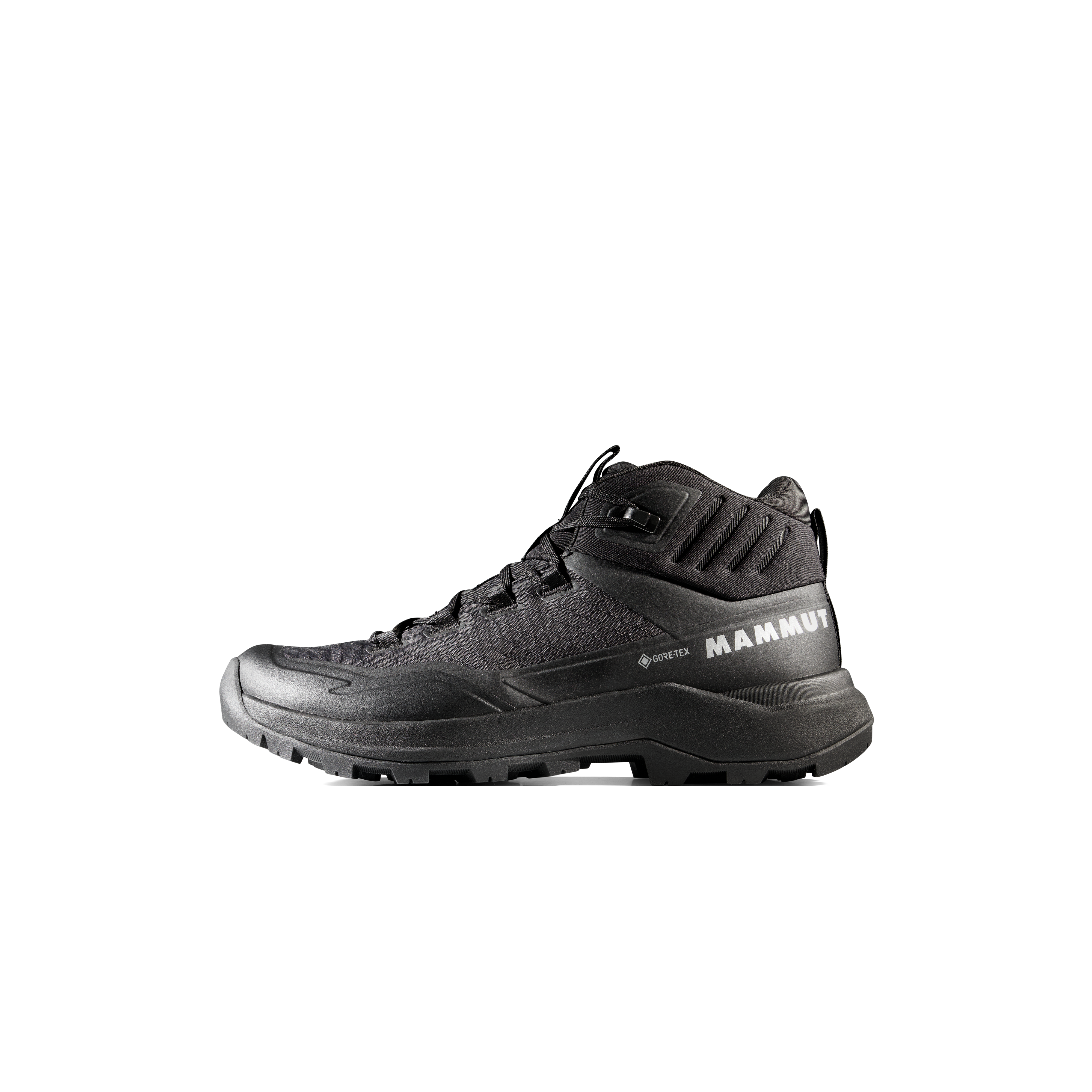
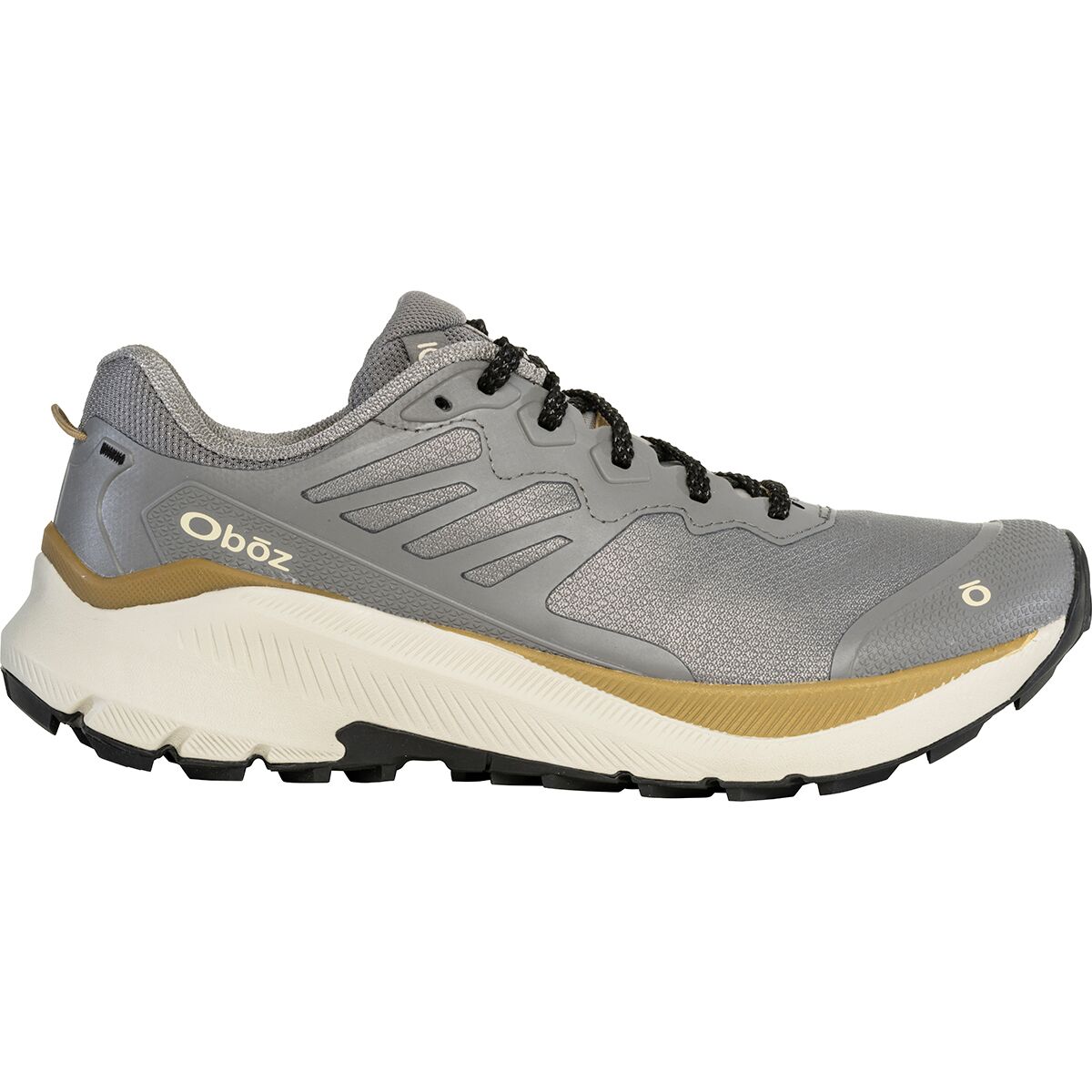
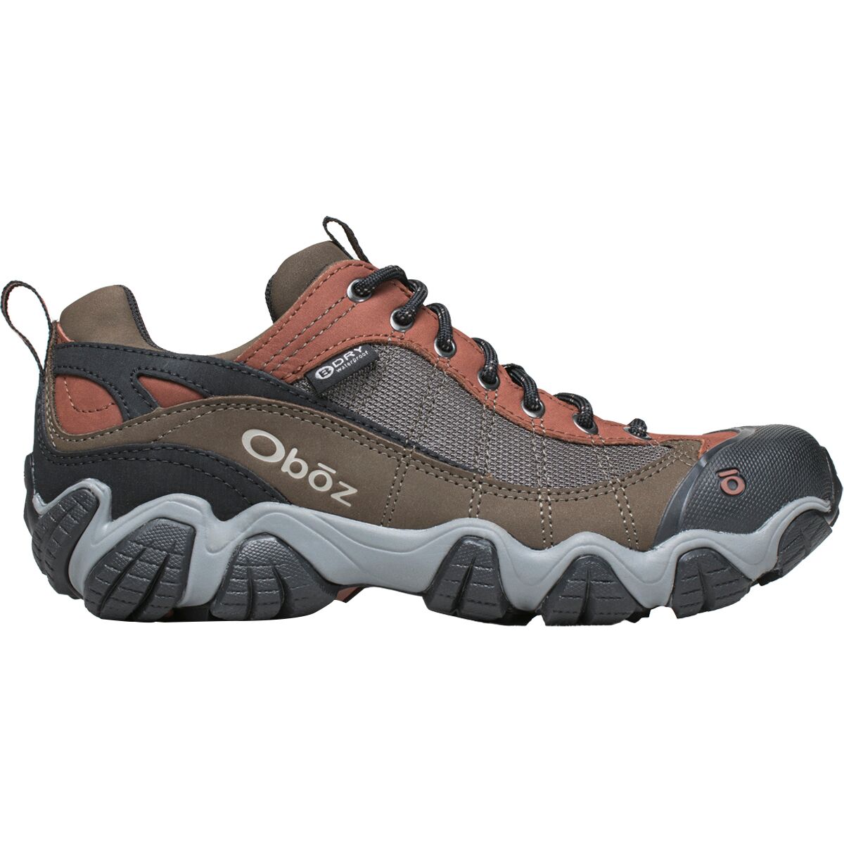
Choose footwear that feels secure on angled rock, dusty ledges and talus. Precision matters more than aggressive stiffness.
Helpful on the long Kilpacker approach; stow them before the Class 3 upper route.
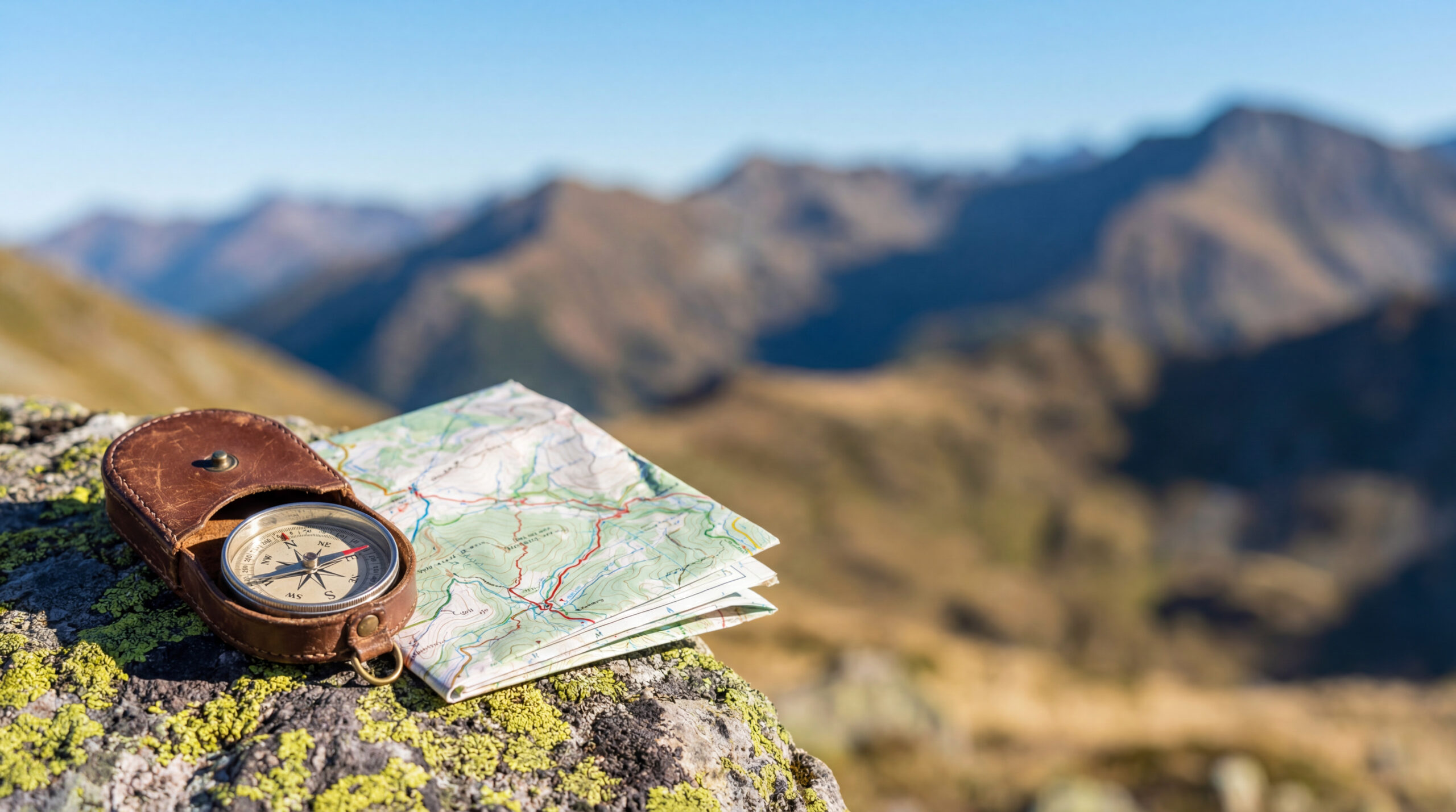
Carry an offline map/track, but study route photos and landmarks before leaving. GPS alone cannot tell you whether the rock immediately ahead is stable.
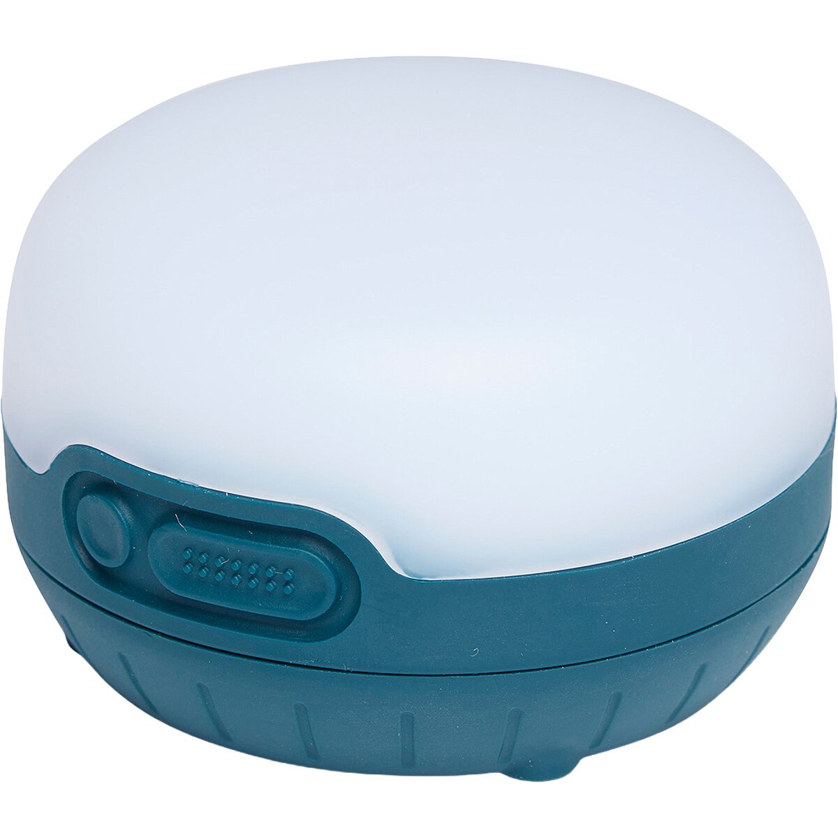
A pre-dawn approach is common. Bring a dedicated light with enough battery for delays.
Wind and rain protection should remain accessible rather than buried at the bottom of the pack.
Class 3 scrambling kit:
El Diente Class 3 Gear
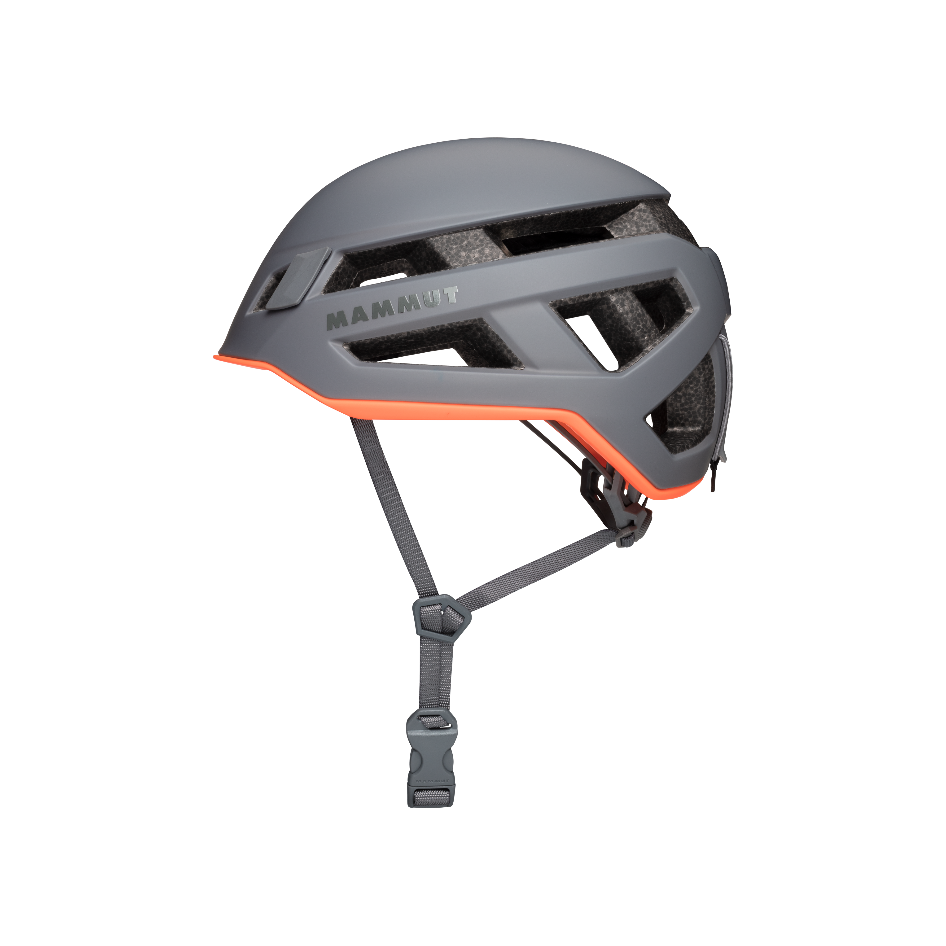
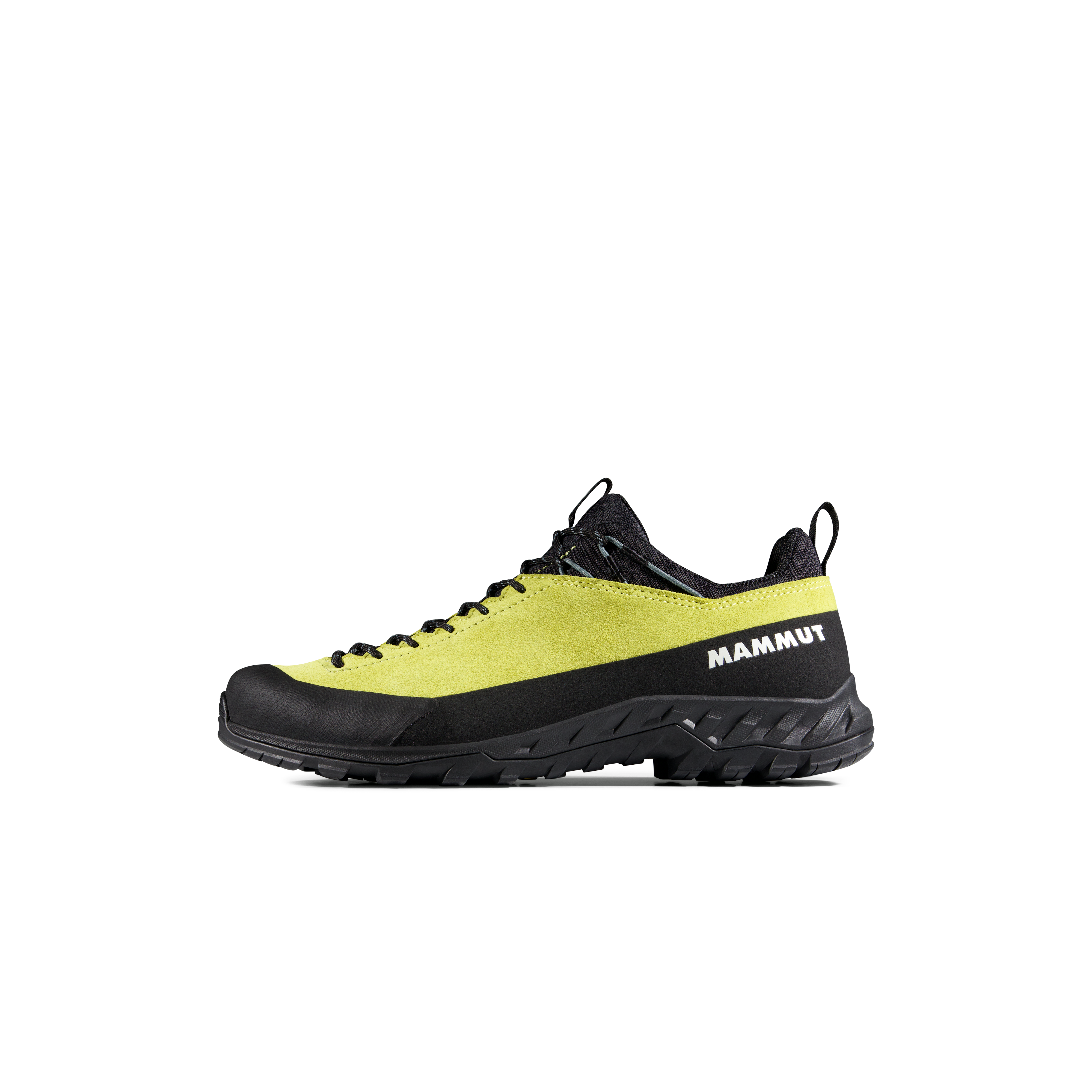
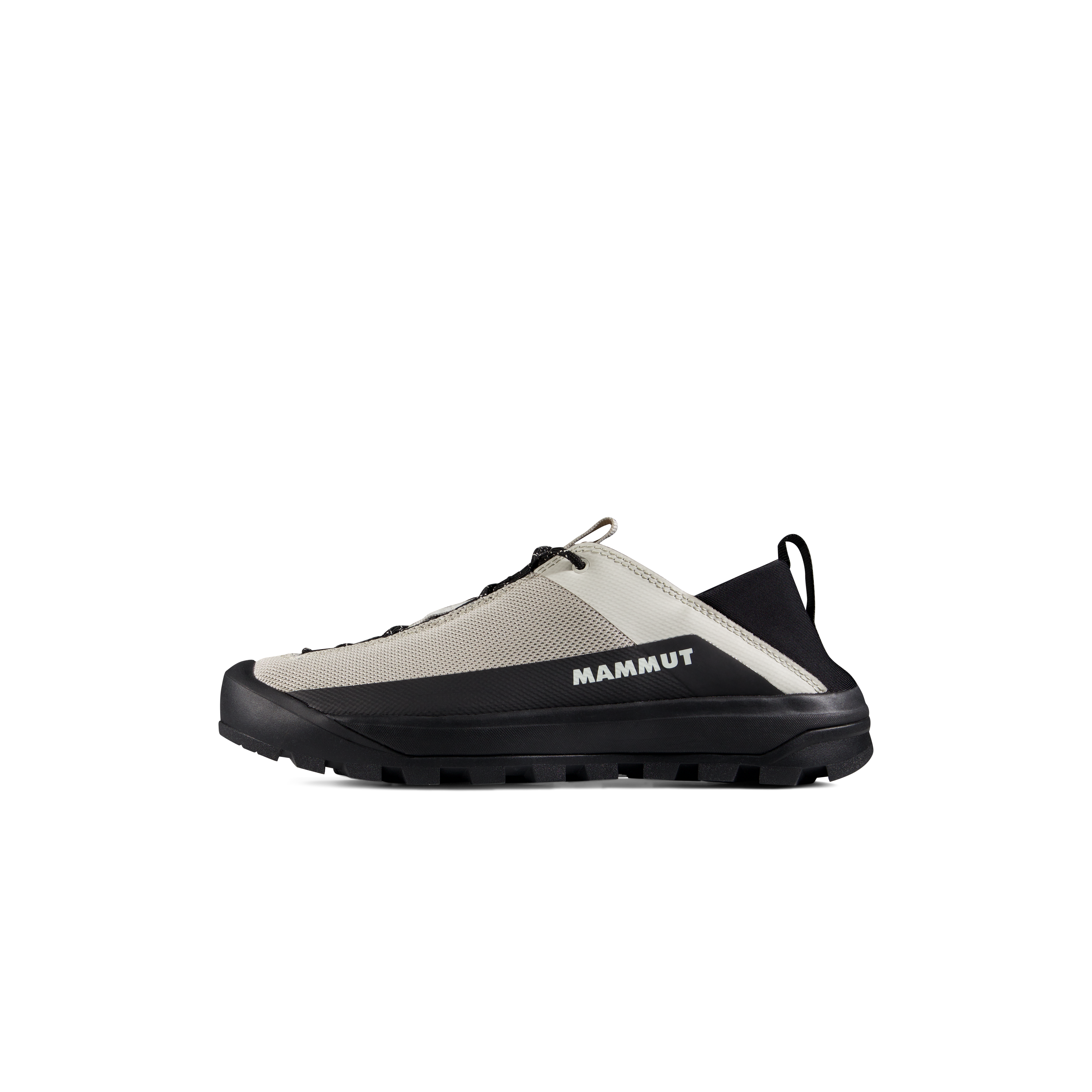
We may earn a commission if you buy through these links, at no extra cost to you. Affiliate disclosure

Approach and weather extras:
Kilpacker Approach Essentials
Should El Diente Be Your First Class 3 14er?
Probably not if…
Your experience is mostly Class 1–2 hiking, you rely heavily on obvious trails or GPX breadcrumbs, or you are still learning how to downclimb exposed terrain calmly.
Better preparation
Build experience on lower-consequence Class 3 routes where you can practice route selection, three-point movement, loose-rock etiquette and reversing moves before adding El Diente’s navigation burden.
You may be ready if…
You have previous Class 3 experience, strong endurance, comfort with loose gullies and exposed ledges, and the discipline to retreat when landmarks or weather stop matching the plan.
El Diente Peak Map
El Diente stands immediately west of Mount Wilson in the Lizard Head Wilderness, southwest of Telluride and north of Rico. This map is for geographic orientation—not crux navigation.
Summit marker: approximately 37.83922° N, 108.00534° W. Download a detailed route track and current topographic map before the climb.
El Diente Peak Questions
How hard is El Diente Peak?
The South Slopes is Class 3 with about 12 miles round trip and 4,400 feet of gain. Considerable exposure and rockfall, high route-finding and a long descent make it a serious objective.
Why is the South Slopes now the standard route?
The older North Slopes line is particularly dangerous from rockfall after the snow gully melts out. The South Slopes from Kilpacker is generally more stable and is now considered the best standard summer route.
Why do people get off route on El Diente?
The upper route is not a continuous maintained trail. The 12,600-foot turn can be subtle, and the climb then uses talus, gullies, ledges and ridge notches. Route photos and terrain landmarks are important.
Is El Diente an official ranked Colorado 14er?
It is a named 14er but is considered unranked under the common 300-foot prominence rule. Current LiDAR elevation data used by 14ers.com lists the summit at 14,175 feet.
Can I combine El Diente and Mount Wilson?
Yes, but the connecting traverse is Class 4 with high exposure, rockfall, route-finding and commitment. It should be planned as a separate advanced objective rather than added casually from the summit.
Should I wear a helmet?
Yes. A helmet is strongly recommended because the South Slopes crosses loose talus, gullies and rockfall-prone terrain.
Continue Your San Juan Progression

Route & Current-Conditions Sources
- 14ers.com — El Diente South Slopes: current standard route, Class 3, 12 miles, 4,400 feet of gain, route landmarks and risk factors.
- 14ers.com — North Slopes: why the former standard route is now less preferred when dry.
- 14ers.com — Kilpacker Approach: trailhead, approach and camping context.
- 14ers.com — El Diente condition reports: recent route and navigation observations.
- 14ers.com — El Diente peak page: LiDAR elevation, coordinates and route index.
- Hero image: MostlyDeserts, CC BY-SA 3.0 / GFDL.
Verification date: October 2, 2026. Conditions, road quality and temporary restrictions can change faster than this page can be updated.
Was this helpful?
🏔Related peaks nearby
🧭Explore & compare
Global Summit Guide is an independent mountaineering resource founded in 2026. The team combines first-hand trekking and climbing experience with in-depth research and professional health and nutrition review to help climbers choose objectives, prepare properly, and stay safe.
Health, altitude, and nutrition content is reviewed by Taylor Ludlow (Registered Nurse) and Brigg Hoopes (Nutritionist).
What We Don't Know Yet
Mountain information changes quickly. This box explains the limits of what this page can responsibly promise.
- Visa, passport, vaccination, border, insurance, and local transportation rules may change before your trip.
- Route conditions, snowpack, closures, and weather can change quickly after this page is updated.
- Permit rules, fees, quotas, and reservation windows may change between review cycles.
- Operator availability, pricing, guide ratios, and cancellation terms can change by season.
- Your fitness, altitude response, risk tolerance, and experience level may change what is safe or realistic.
Verify current conditions with official land managers, guide services, local forecasts, and current route reports before booking or climbing.
Mountaineering, rock and ice climbing, glacier travel, and high-altitude activity are inherently dangerous and can result in serious injury or death. The information on Global Summit Guide is provided for general informational and educational purposes only and is not a substitute for professional instruction, qualified guiding, proper equipment, or your own judgment and experience.
Route conditions, weather, snowpack, permits, regulations, and hazards change constantly and may differ from what is described here. Details may be incomplete, out of date, or contain errors. Always verify current information with local authorities, certified guides, and official sources before making any decision in the mountains.
Nothing on this site is medical, legal, or financial advice. Our fitness, acclimatization, altitude, and nutrition content is general in nature; consult a qualified physician before beginning any strenuous exercise program or exposing yourself to high altitude.
You are solely responsible for your own safety and decisions. To the fullest extent permitted by law, Global Summit Guide and its team accept no liability for any loss, injury, damage, or expense arising from use of, or reliance on, this information. By using this site you acknowledge these risks and accept these terms.
Some links on this site may be affiliate links. If you buy through them we may earn a small commission at no extra cost to you; this never affects our recommendations.
Global Summit Guide recommendation path
Next Best Mountain to Research
Use these recommendations to continue the right planning path instead of stopping on one page.
Use current permit, weather, route, and operator information before booking or climbing.