
Last updated October 2, 2026

Kit Carson Peak: Challenger Point, Kit Carson Avenue & Complete Route Guide
Kit Carson is a long, navigation-sensitive Easy Class 3 objective. The standard route via Challenger Point is about 15 miles round trip with 6,250 feet of gain. The signature feature—Kit Carson Avenue—is actually Class 2, but finding and refinding it correctly is one of the most important safety decisions on the mountain.
What Makes Kit Carson Peak Difficult?
Kit Carson is not defined by a single hard move. It is difficult because the standard route is long, indirect and mentally demanding: you climb Challenger Point first, descend to a saddle, cross Kit Carson Avenue, climb Kit Carson, then reverse the entire sequence—including climbing back over Challenger on the way out.
The Avenue itself is broad Class 2 terrain. The danger comes when climbers miss its entrance on the return and continue down steeper gullies. In July 2026, metal signs had been installed at both ends of the Avenue, but a climber still reported that the return entrance could be overlooked.
That means the most important preparation is not “Can I climb Class 3?” It is “Can I manage a 15-mile, 6,250-foot day and still make correct navigation decisions after the summit?”
Summit Kit Carson only if you can return over Challenger safely.
You do not descend directly from Kit Carson to Willow Lake on the standard route.
Challenger is part of the return trip.
The weather decision must account for the climb back over Challenger—not merely the time required to reach Kit Carson’s summit.
Kit Carson Route Comparison
The standard Challenger Point route is not the shortest route, but it keeps the climbing to Easy Class 3. The more direct ridges increase exposure, route-finding and commitment significantly.
| Route | Distance | Gain | Difficulty | Risk profile | Best for |
|---|---|---|---|---|---|
| Via Challenger Point | 15 mi | 6,250 ft | Easy Class 3 | Considerable exposure, rockfall, route-finding & commitment | Standard route |
| East Ridge | 14.5 mi from 4WD TH | 5,900 ft | Class 3 | High exposure, high route-finding, high commitment | Experienced scramblers |
| North Ridge | 11.4 mi | 5,315 ft | Class 4 | High exposure and commitment | Experienced Class 4 climbers |
| Outward Bound Couloir | 13.75 mi | 5,500 ft | Class 3 steep snow | Snow/avalanche-specific hazards | Qualified snow climbers only |

The Kit Carson Summit-Day Timeline
This is not a fixed schedule. It is a decision framework showing why reaching Kit Carson late is more serious than reaching a walk-up summit late.
Start very early or begin from camp near Willow Lake.
Assess pace, weather and how much effort the approach already required.
First summit—but not halfway in terms of decision complexity.
Class 2 ledge; memorize both entrances for the return.
Weather must still allow Avenue + Challenger reclimb.
Only after this second crossing does the route become a straightforward trail descent.
Kit Carson Avenue Is Easy Terrain With Serious Navigation Consequences
The Avenue is a Class 2 ledge that runs along the south side of Kit Carson. The important skill is recognizing where to enter it in both directions.
From Challenger
Descend east to the roughly 13,800-foot saddle between Challenger and Kit Carson. Gain the broad ledge and follow it south around Kit Carson toward the saddle by The Prow.
Keep the terrain easy. If the Avenue suddenly feels much harder than Class 2, stop and backtrack.
From Kit Carson
Descend the upper gully carefully and deliberately relocate the Avenue entrance. This is the critical navigation point after the summit.
The 2026 signs help—but they do not replace situational awareness, especially in cloud, snow or low light.

Do Not Descend the Wrong Gully From Kit Carson
✓ Correct return
Summit → upper gully → Avenue entrance → Avenue → Challenger saddle.
Reverse the route you used on ascent. If you can identify the Avenue entrance before summit day, the descent becomes much easier to manage mentally.
✕ Wrong descent
Summit → continue dropping past the Avenue entrance into steeper terrain.
If you find yourself on terrain that is significantly harder than what you climbed, do not keep descending in hope that it gets easier. Stop and climb back to known terrain.
Why this matters
Route errors here can place climbers above cliffs and in terrain far harder than the standard route. The correct response to unexpectedly difficult terrain is to reverse the mistake early—not continue because the trailhead seems “below you.”

Willow Creek Trailhead to Willow Lake
The standard climb starts much lower than many Colorado 14er routes. That is why the total gain reaches roughly 6,250 feet even though the technical climbing is relatively modest.
Trailhead
The Willow Creek trailhead is reached from Crestone via Galena Avenue / Forest Service Road 949. The final road is dirt; verify current road conditions before relying on vehicle-specific older reports.
Willow Lake
The 9.5-mile approach out-and-back to Willow Lake alone gains about 2,850 feet. The lake makes a logical overnight break for climbers who do not want the full summit effort in one day.
Above the lake
The character changes immediately: Challenger’s north slope adds loose Difficult Class 2 terrain, exposure and rockfall before you ever reach Kit Carson Avenue.

Day Hike vs Backpack to Willow Lake
Kit Carson is a good example of a peak where backpacking can improve the quality of the summit day even if it adds camping logistics.
One-day push
- 15 miles round trip
- 6,250 feet of gain
- Very early trailhead start
- Navigation decisions late in the day
Best for: very fit climbers already comfortable with the route complexity.
Overnight at Willow Lake area
- Split the long approach from summit day
- Earlier access to Challenger
- More weather margin
- Heavier pack on approach
Best for: climbers who want to arrive at the Avenue fresher and with more decision-making margin.

Weather Must Cover the Return Over Challenger
On many mountains, the summit marks the point where the climbing is mostly over. Kit Carson is different. After summiting, you still need to descend, find the Avenue, cross it, climb back over Challenger and descend Challenger’s loose north slope.
Lightning
Do not evaluate weather only against your ETA to Kit Carson’s summit. Evaluate it against the time required to return to safer terrain below Challenger.
Wind
The Avenue is broad, but strong wind can make exposed ledges and Challenger’s upper slope far less comfortable.
Snow and ice
Late-season frost, hard snow and ice can make otherwise moderate terrain much more consequential. September 27, 2026 reports specifically warned of these conditions.
Gear for a 15-Mile Class 3 Summit Day
Headlamp + backup power
Pre-dawn travel is common. Carry enough light for an unexpectedly late return, not just the planned approach.
Navigation
Offline maps, route photos and waypoint awareness are especially useful around the Avenue entrances and summit descent.
Helmet
Strongly recommended on Challenger’s loose slope and around parties where rockfall is possible.
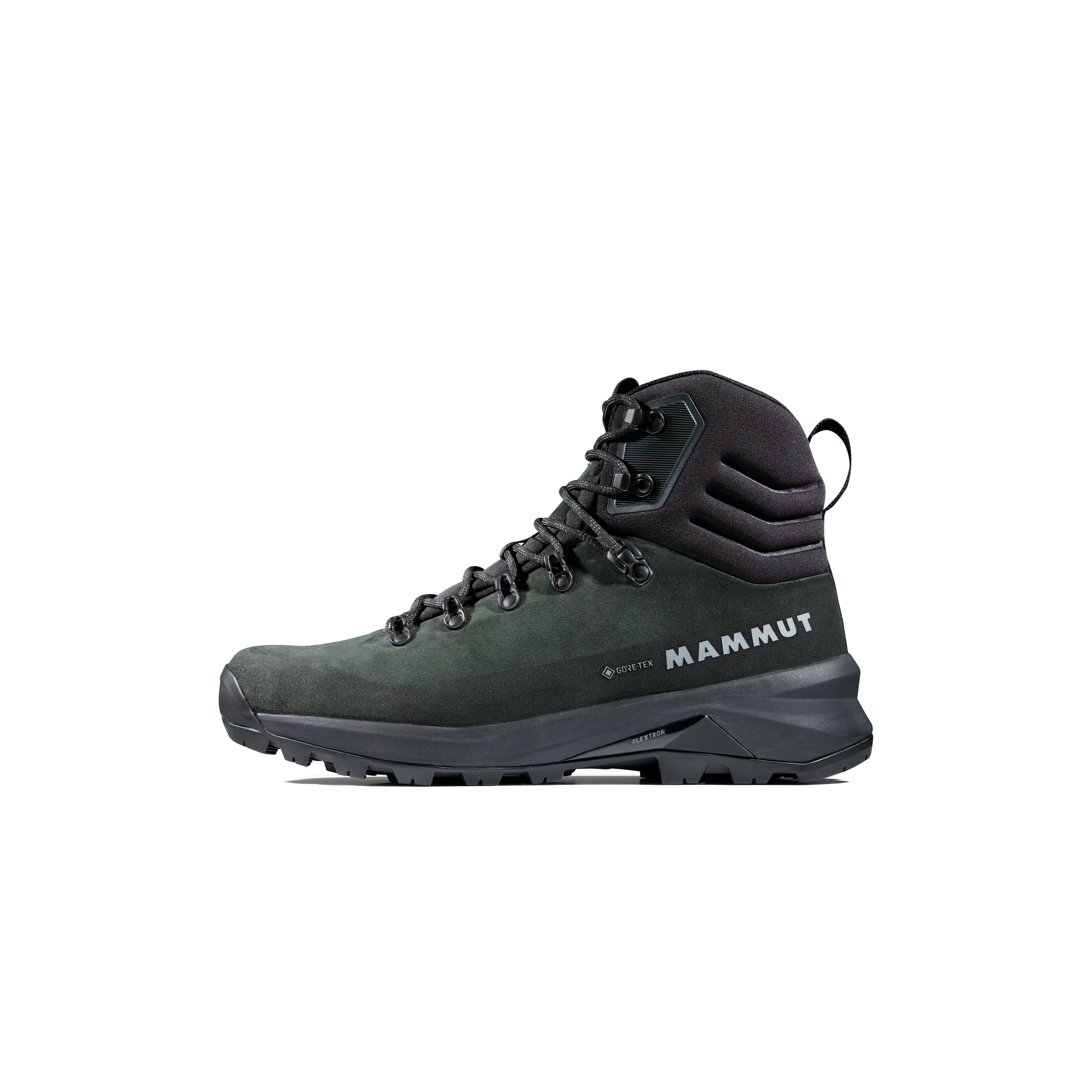
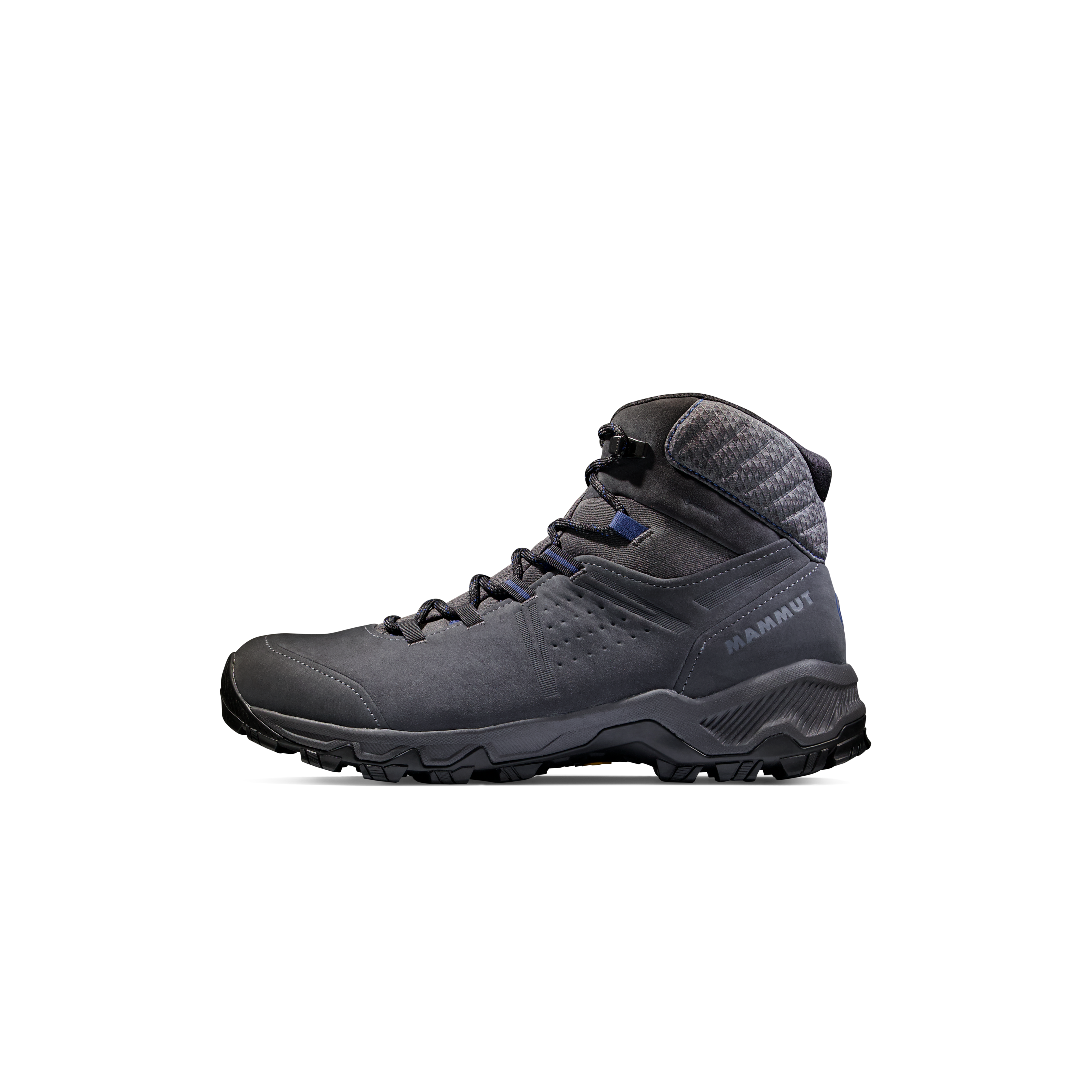
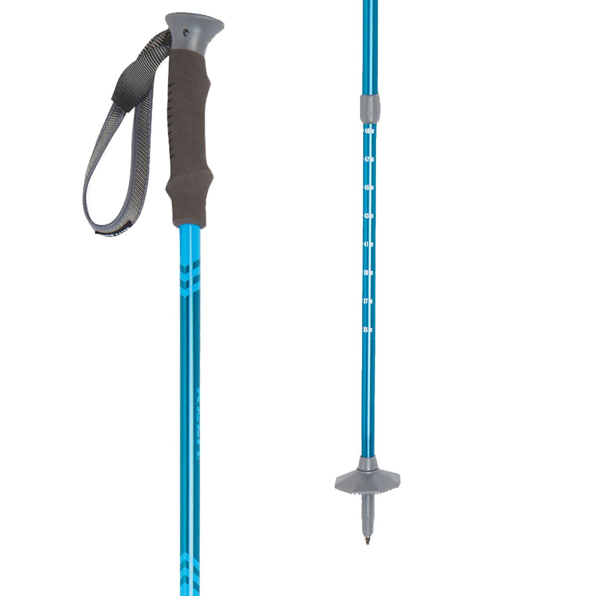
Kit Carson long-day gear:
Kit Carson Peak Essential Gear
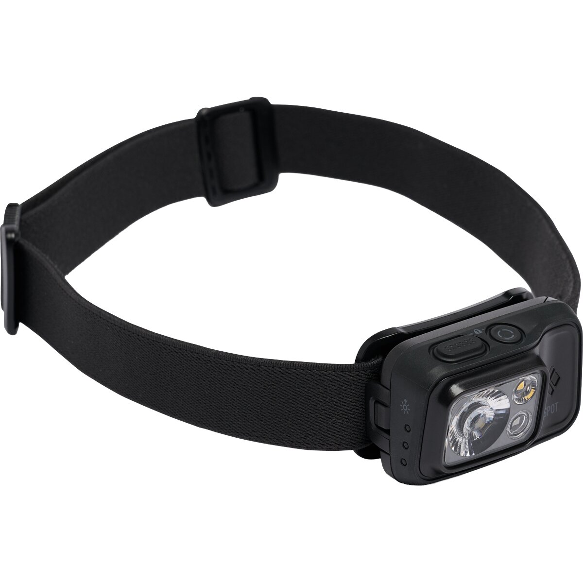
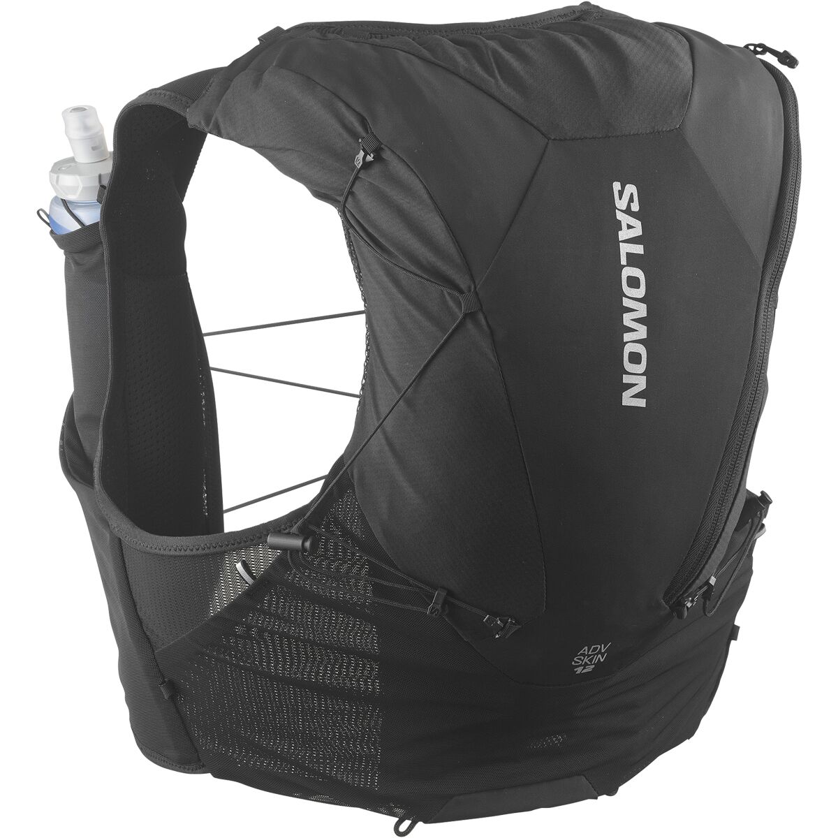
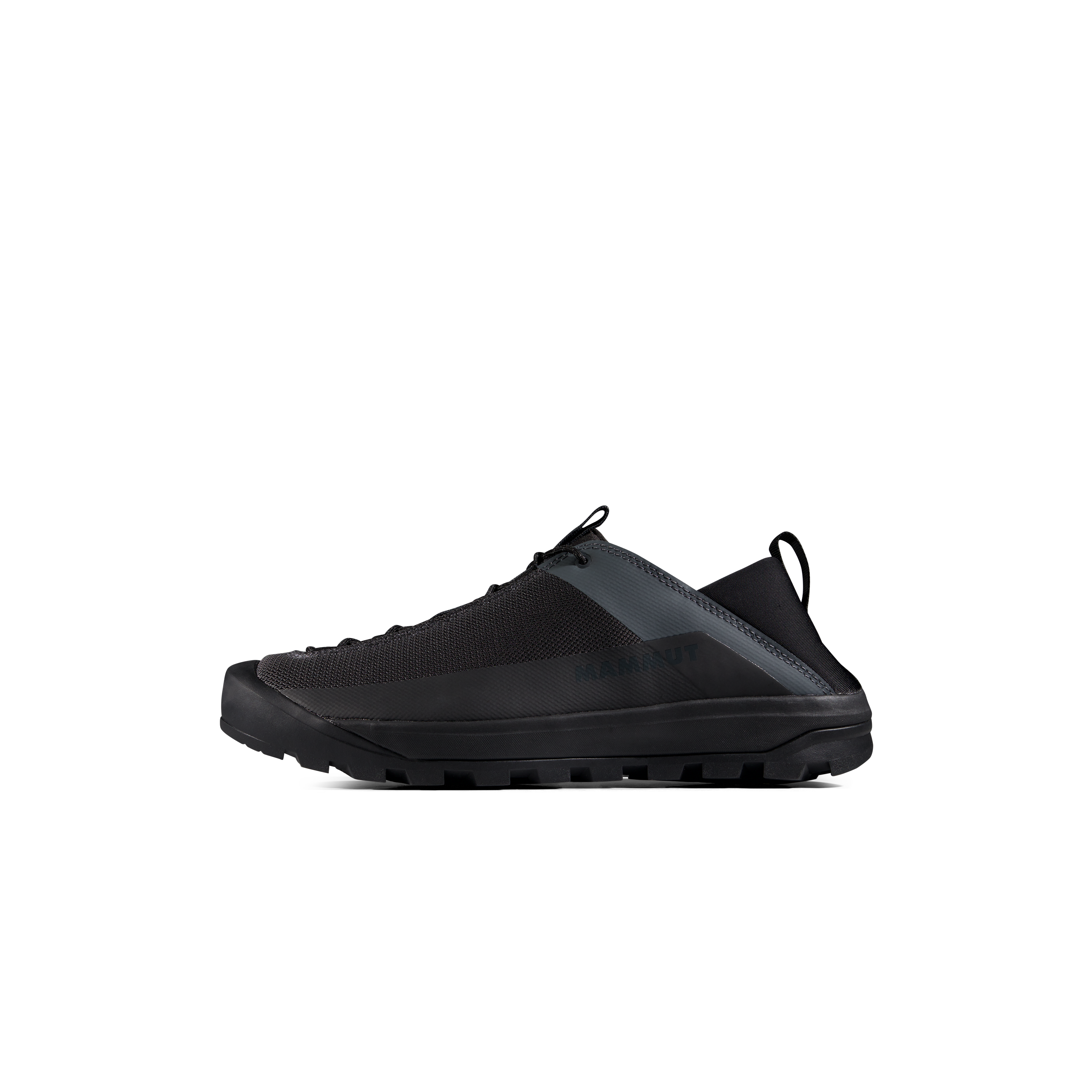
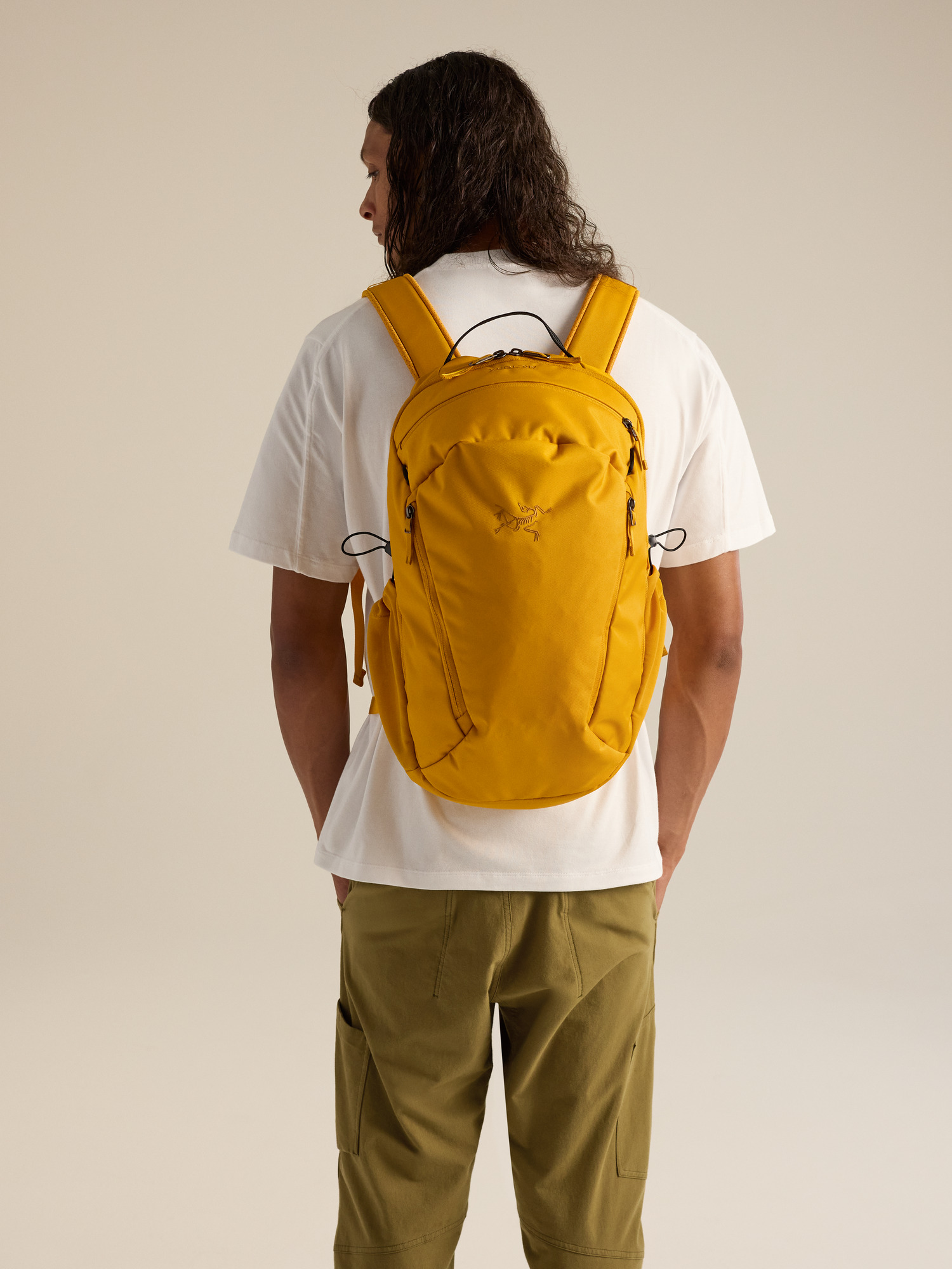
We may earn a commission if you buy through these links, at no extra cost to you. Affiliate disclosure

Willow Lake approach gear:
Willow Lake Approach Gear
Should Kit Carson Be Your First Class 3 14er?
Probably not if…
You have not yet done a 5,000+ foot gain day, you are uncomfortable reversing exposed terrain, or navigation becomes unreliable when you are tired.
What to build first
Gain experience on shorter Class 3 routes where you can practice scrambling, loose-rock movement and downclimbing without adding a 15-mile day and a mandatory second summit crossing.
You may be ready if…
You have strong endurance, previous Class 3 experience, disciplined weather decisions and enough navigation awareness to recognize when terrain stops matching the standard route.
Kit Carson Peak Map
Kit Carson rises above Willow Lake immediately east of Challenger Point in the Crestones group of the Sangre de Cristo Range.
Summit marker: approximately 37.97965° N, 105.60255° W. Use a current detailed route map for navigation.
Kit Carson Peak Questions
How hard is Kit Carson Peak?
The standard route via Challenger Point is Easy Class 3, about 15 miles round trip with 6,250 feet of gain. The combination of length, exposure, loose terrain and route-finding makes it a serious day.
What is Kit Carson Avenue?
It is a broad Class 2 ledge system on Kit Carson’s south side. It connects the Challenger-Kit Carson saddle to the saddle near The Prow and is the key feature of the standard route.
Why do climbers miss the Avenue on descent?
The entrance sits slightly off the natural fall line from the summit. Climbers who continue descending without deliberately relocating the Avenue can enter much harder terrain. Signs installed in 2026 help, but awareness is still essential.
Can I camp near Willow Lake?
Backpacking to the Willow Lake area is a common strategy for splitting the route. Follow current Sangre de Cristo Wilderness camping and setback rules and use established durable sites where permitted.
Is Kit Carson harder than Wilson Peak?
They are difficult in different ways. Wilson Peak has a more concentrated exposed Class 3 summit crux; Kit Carson is much longer and places more emphasis on endurance, Challenger Point and correctly relocating Kit Carson Avenue.
What are the current late-season conditions?
A September 27, 2026 condition report described frost, ice and hard snow on the massif and recommended traction for the standard route as conditions warranted. Recheck immediately before your climb.
Continue Your Colorado Progression

Route & Current-Conditions Sources
- 14ers.com — Kit Carson via Challenger Point: standard route description and Kit Carson Avenue.
- 14ers.com — Kit Carson route list: distance, gain, difficulty and risk factors.
- 14ers.com — current condition reports: July 2026 Avenue signage and September 2026 snow/ice notes.
- 14ers.com — Kit Carson peak page: 14,167-foot LiDAR elevation and coordinates.
- Hero image: Adam Ginsburg, CC BY-SA 2.5.
- Kit Carson Avenue image: Fredlyfish4, CC BY-SA 4.0.
Verification date: October 2, 2026. Conditions on the Avenue and upper massif can change quickly with snow, frost, wind and storms.
Was this helpful?
🏔Related peaks nearby
🧭Explore & compare
Global Summit Guide is an independent mountaineering resource founded in 2026. The team combines first-hand trekking and climbing experience with in-depth research and professional health and nutrition review to help climbers choose objectives, prepare properly, and stay safe.
Health, altitude, and nutrition content is reviewed by Taylor Ludlow (Registered Nurse) and Brigg Hoopes (Nutritionist).
What We Don't Know Yet
Mountain information changes quickly. This box explains the limits of what this page can responsibly promise.
- Visa, passport, vaccination, border, insurance, and local transportation rules may change before your trip.
- Route conditions, snowpack, closures, and weather can change quickly after this page is updated.
- Permit rules, fees, quotas, and reservation windows may change between review cycles.
- Operator availability, pricing, guide ratios, and cancellation terms can change by season.
- Your fitness, altitude response, risk tolerance, and experience level may change what is safe or realistic.
Verify current conditions with official land managers, guide services, local forecasts, and current route reports before booking or climbing.
Mountaineering, rock and ice climbing, glacier travel, and high-altitude activity are inherently dangerous and can result in serious injury or death. The information on Global Summit Guide is provided for general informational and educational purposes only and is not a substitute for professional instruction, qualified guiding, proper equipment, or your own judgment and experience.
Route conditions, weather, snowpack, permits, regulations, and hazards change constantly and may differ from what is described here. Details may be incomplete, out of date, or contain errors. Always verify current information with local authorities, certified guides, and official sources before making any decision in the mountains.
Nothing on this site is medical, legal, or financial advice. Our fitness, acclimatization, altitude, and nutrition content is general in nature; consult a qualified physician before beginning any strenuous exercise program or exposing yourself to high altitude.
You are solely responsible for your own safety and decisions. To the fullest extent permitted by law, Global Summit Guide and its team accept no liability for any loss, injury, damage, or expense arising from use of, or reliance on, this information. By using this site you acknowledge these risks and accept these terms.
Some links on this site may be affiliate links. If you buy through them we may earn a small commission at no extra cost to you; this never affects our recommendations.
Global Summit Guide recommendation path
Next Best Mountain to Research
Use these recommendations to continue the right planning path instead of stopping on one page.
Use current permit, weather, route, and operator information before booking or climbing.