
Last updated October 2, 2026
Hardest Hikes in Swiss Alps: 8 Demanding Alpine Routes Compared
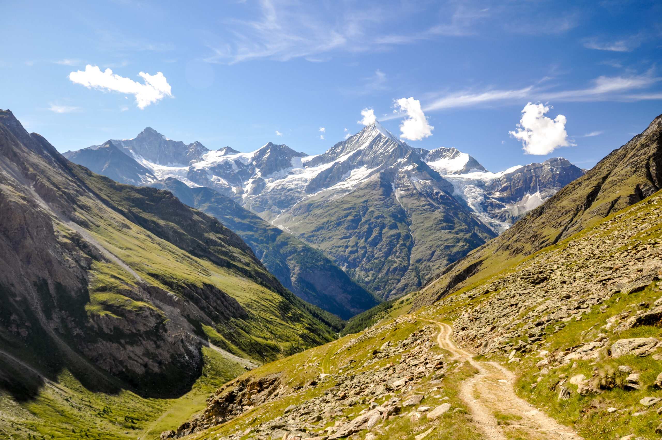
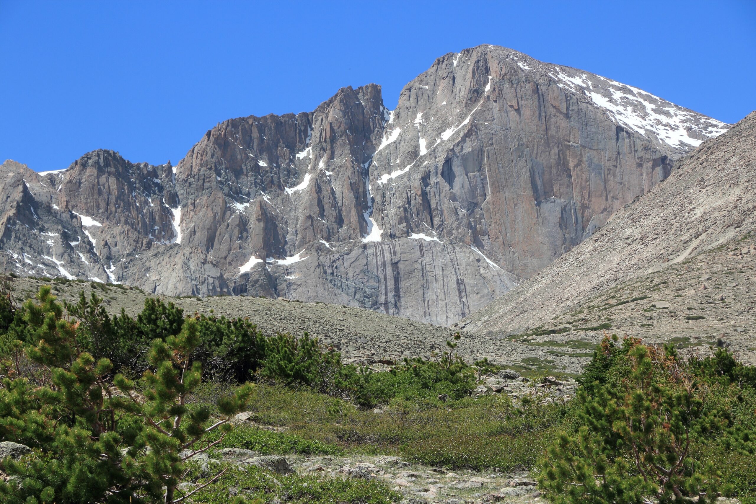
The hardest hikes in Switzerland are difficult for very different reasons: some are brutally long, some cross exposed grassy ridges, and others move into SAC T4–T5 alpine-hiking terrain where route-finding and hands-on movement become central. This guide separates endurance difficulty from technical hiking difficulty.
What Is the Hardest Hike in the Swiss Alps?
There is no single official answer because Switzerland’s hardest hiking routes split into two categories. Hardergrat is among the most demanding non-technical ridge hikes because of its length, exposure and very limited escape options. But a shorter T4 or T5 alpine hike can be more technically serious because it may require route-finding, hands-on scrambling and absolute confidence on exposed terrain.
For a pure endurance challenge, Barrhorn stands out as one of the highest hiking summits in the Alps. For a classic hut-to-hut test, the Hohtürli crossing between Kandersteg and Griesalp combines huge vertical gain with ladders, steep trails and a high pass.
8 Hardest Hikes in the Swiss Alps
Grades and conditions vary by exact variant. Always verify the official Swiss route description and current trail conditions before departure.
| Route | Region | Typical grade | Main challenge | Best for |
|---|---|---|---|---|
| Hardergrat Ridge | Bernese Oberland | T3/T4 feel depending on section | Sustained exposure + long ridge | Strong hikers comfortable with airy terrain |
| Barrhorn | Valais | Mostly demanding mountain hiking | Altitude + huge ascent | Endurance-focused hikers |
| Hohtürli Crossing | Kandersteg–Griesalp | T3 | Long vertical day + steep ladders/steps | Experienced hut-to-hut hikers |
| Säntis Summit Routes | Appenzell Alps | T3–T4 variants | Steep exposed terrain | Hikers ready for hands-on sections |
| Trifthütte Approach | Bernese Alps | T3–T4 feel | Remote alpine terrain + suspension bridge access | Strong hikers comfortable with exposure |
| Aletsch High Trail Variants | Valais | T3 | Distance + glacial landscape + weather | Long-day hikers |
| Walker’s Haute Route Hardest Stages | Valais | T3 on many high stages | Repeated passes over many days | Multi-day endurance hikers |
| Lenzerhorn / Graubünden Summit Hikes | Graubünden | T4 variants | Route-finding + exposed summit terrain | Experienced alpine hikers |
Why T3, T4 and T5 Matter More Than Mileage
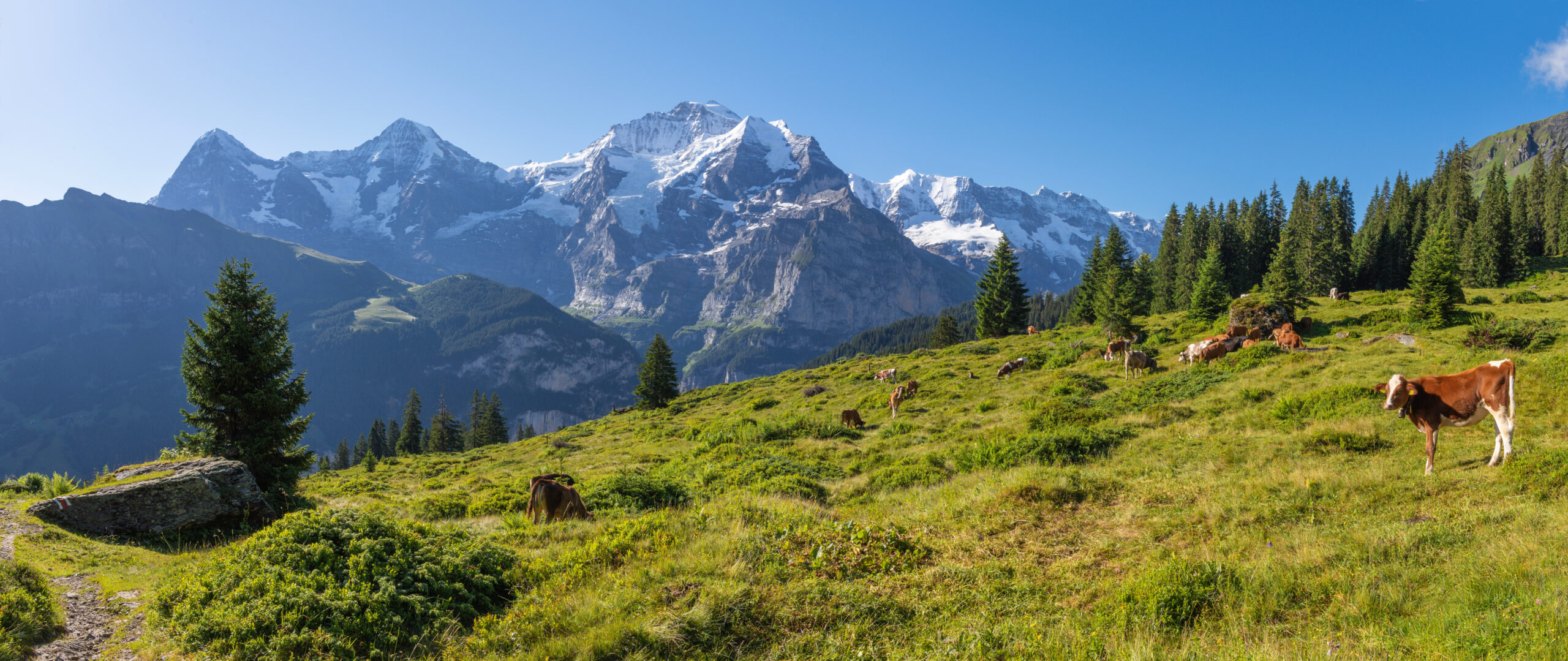
The SAC scale is one of the best tools for distinguishing strenuous hiking from serious alpine hiking.
Demanding Mountain Hiking
Often steep and exposed, with rough trail, fixed aids possible and sure-footedness required.
Alpine Hiking
Trail may be faint or absent. Hands may be needed. Route-finding and comfort with exposure become much more important.
Demanding Alpine Hiking
Serious exposed terrain, weak trail definition and high route-finding demands. This is no longer ordinary hiking.

Eight Demanding Swiss Alpine Hikes
Hardergrat Ridge
Bernese OberlandExposureLong ridgeHardergrat is famous because the difficulty is sustained rather than concentrated. The ridge is narrow in places, grassy slopes fall away steeply, and there are few comfortable bailout points once committed. Dry weather is essential.
Barrhorn
3,610 mValaisAltitudeBarrhorn is remarkable because it reaches genuine high-alpine altitude on a hiking route. The main challenge is huge vertical gain, thin air and a very long summit day rather than exposed scrambling.
Hohtürli: Kandersteg to Griesalp
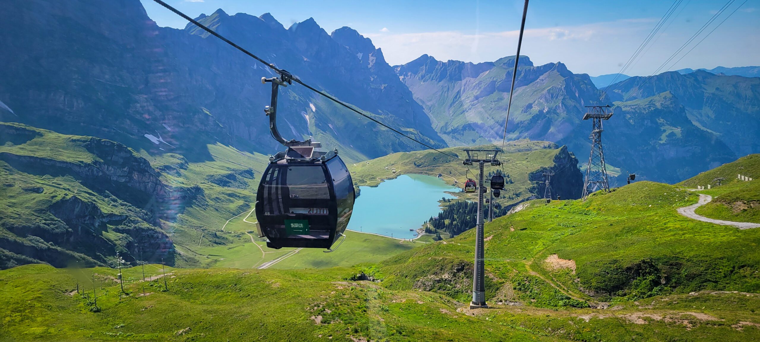
Via AlpinaT3Big ascent/descentThe Hohtürli crossing is one of Switzerland’s classic hard hut-route stages. Steep trail, stairs and ladders lead toward Blüemlisalphütte before the long descent toward Griesalp.
Säntis Summit Routes
Appenzell AlpsT3–T4Several Säntis approaches are steep and exposed, with fixed aids and alpine character unusual for a summit with cable-car infrastructure nearby.
Trifthütte Approach
Remote hutBernese AlpsThe Trift area feels more serious than its map location suggests. The approach involves rugged alpine terrain, famous bridge access and weather-sensitive footing.
Aletsch High Trail Variants
ValaisLong dayThe Aletsch region offers demanding high traverses where distance, ascent and exposure to fast-changing alpine weather create the difficulty rather than technical scrambling.
Walker’s Haute Route — Hardest Stages
Multi-dayRepeated passesThe Walker’s Haute Route becomes hard through accumulation: repeated 1,000m+ ascent days, high passes and continuous fatigue between Chamonix and Zermatt.
Lenzerhorn / Graubünden Summit Hikes
T4 variantsRoute-findingGraubünden has numerous lesser-known summit hikes where the technical grade rises even as crowds disappear. These are excellent examples of why experienced alpine hikers look at SAC grade first.
Technicality vs Endurance
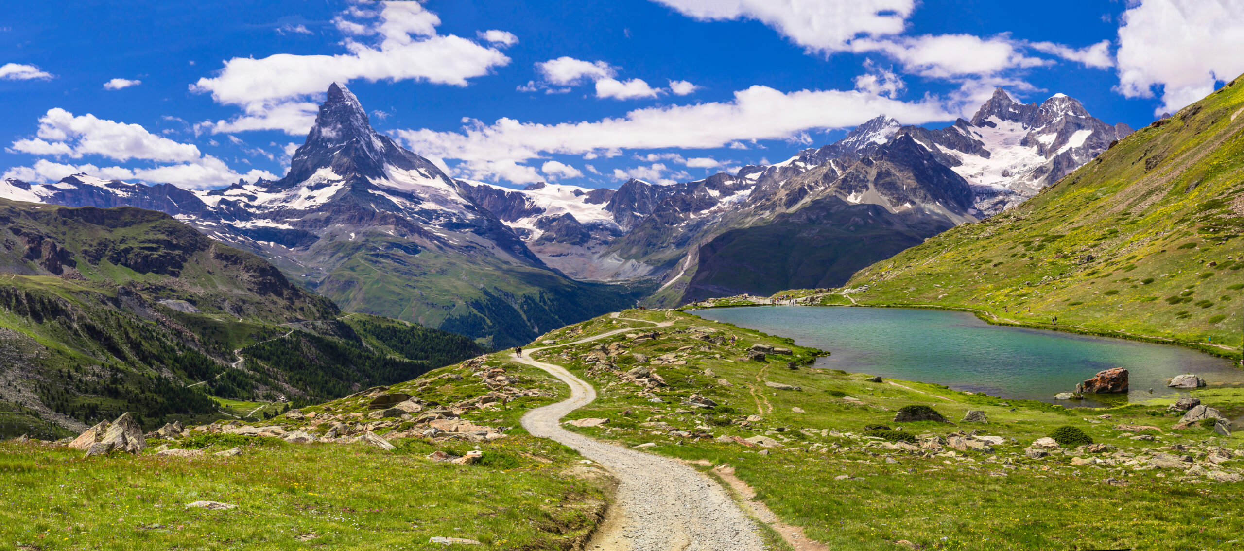
This is the most useful way to compare hard Swiss hikes because a short T4 summit route and a 25 km T2/T3 traverse are hard for completely different reasons.
Barrhorn, long Aletsch traverses, Walker’s Haute Route stages.
Hardergrat and several Säntis routes.
T4–T5 Graubünden summit routes and more serious alpine-hiking variants.
Hohtürli combines major ascent, steep terrain and a long descent.

Why Swiss Hut Infrastructure Can Be Misleading
A staffed hut can make food and sleeping logistics easier without making the approach physically or technically easier.
Hohtürli
Blüemlisalphütte gives a natural high point to the stage, but the climb to reach it remains steep and demanding.
Trifthütte
The hut system makes overnight logistics easier, but the route still passes through serious alpine terrain.
Haute Route
Huts and villages reduce resupply burden, yet repeated high-pass days can create cumulative fatigue similar to much more remote routes.
Snow Can Change a T3 Hike Into Something Else Entirely
Early summer
Snowfields can persist on high passes and north-facing terrain long after valleys look fully green.
Mid-summer
Usually the most reliable window for high hiking, but thunderstorms and heat-driven convection still matter.
September
Often excellent, but short days, fresh snow and icy mornings can rapidly raise the difficulty of exposed routes.

Gear for Hard Swiss Alpine Hikes
Footwear
Use footwear with precise edging and reliable grip. T4 terrain often punishes soft, worn trail soles.
Trekking poles
Excellent for huge vertical days like Barrhorn or Hohtürli; stow them when hands are needed.
Navigation
Carry offline SwissTopo mapping and understand SAC route markings. Fog can erase obvious terrain cues quickly.
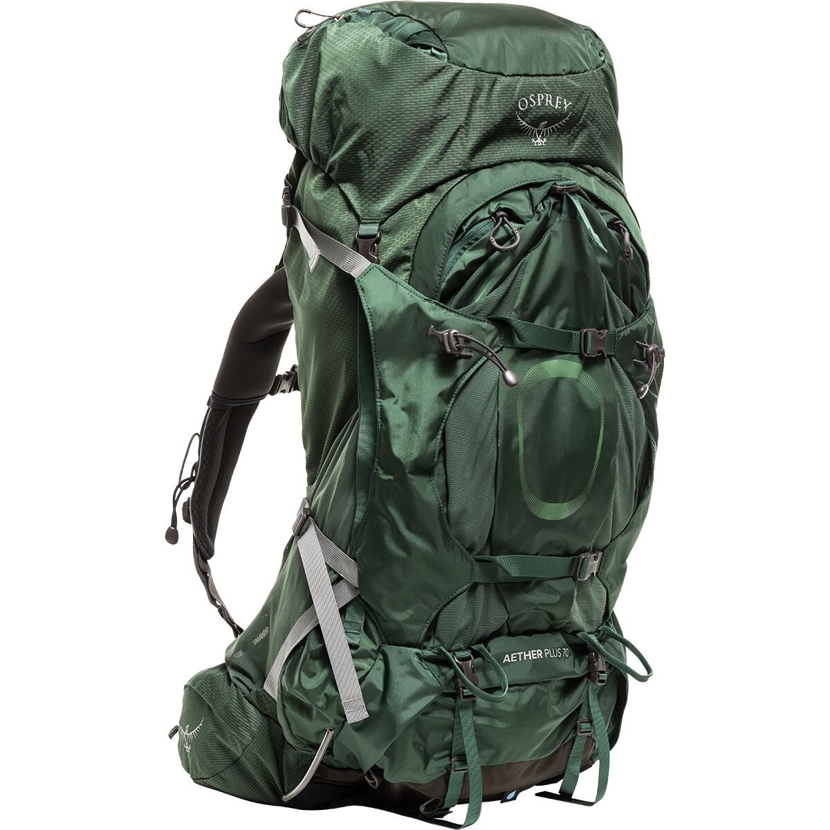
Swiss alpine hiking gear:
Swiss Alps Hiking Essentials
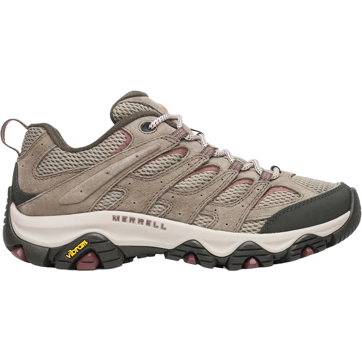
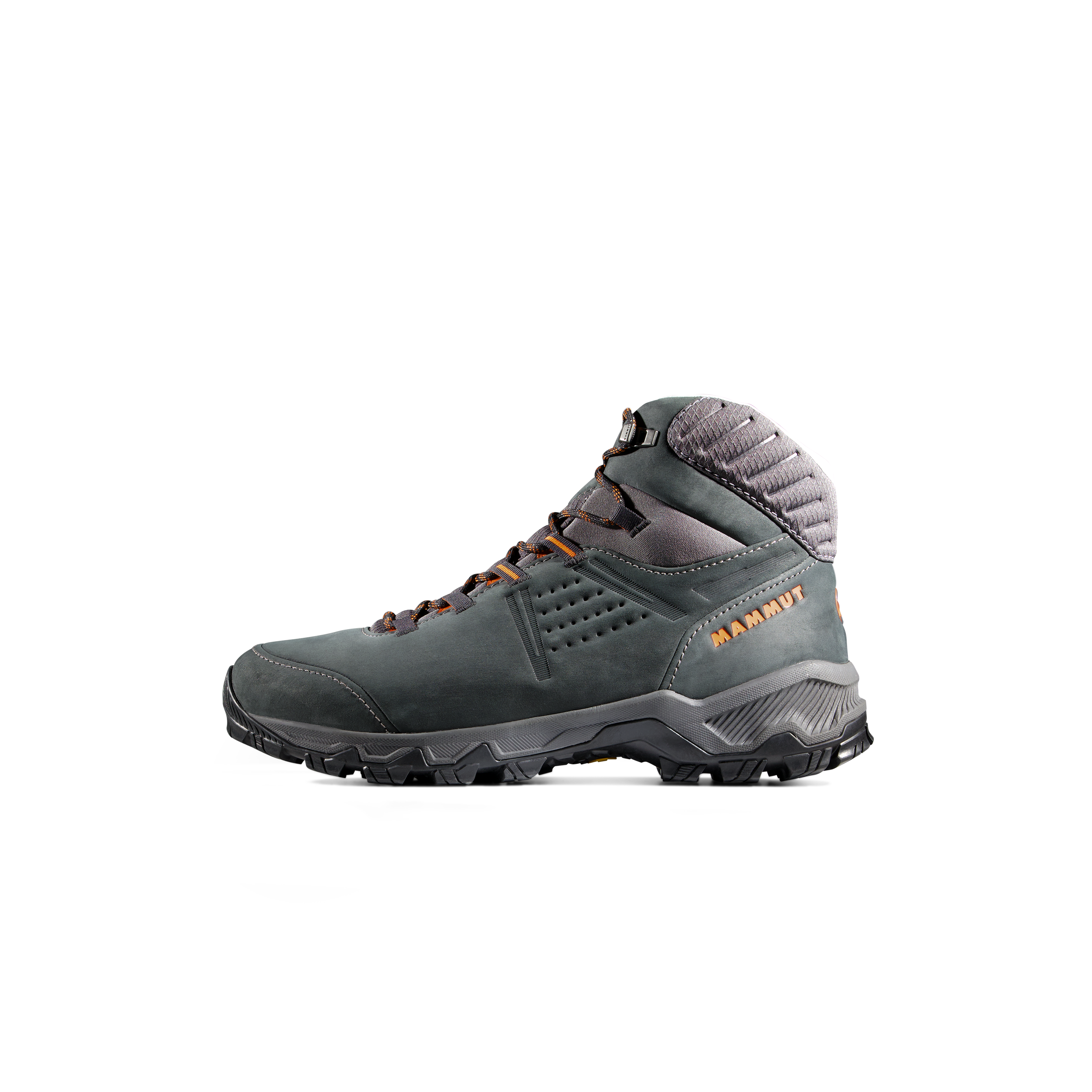
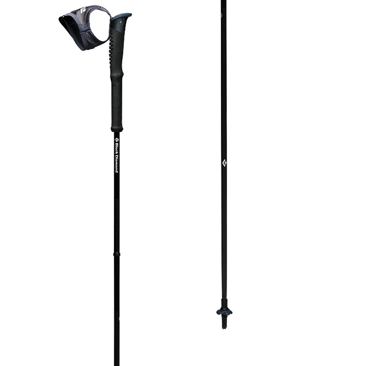
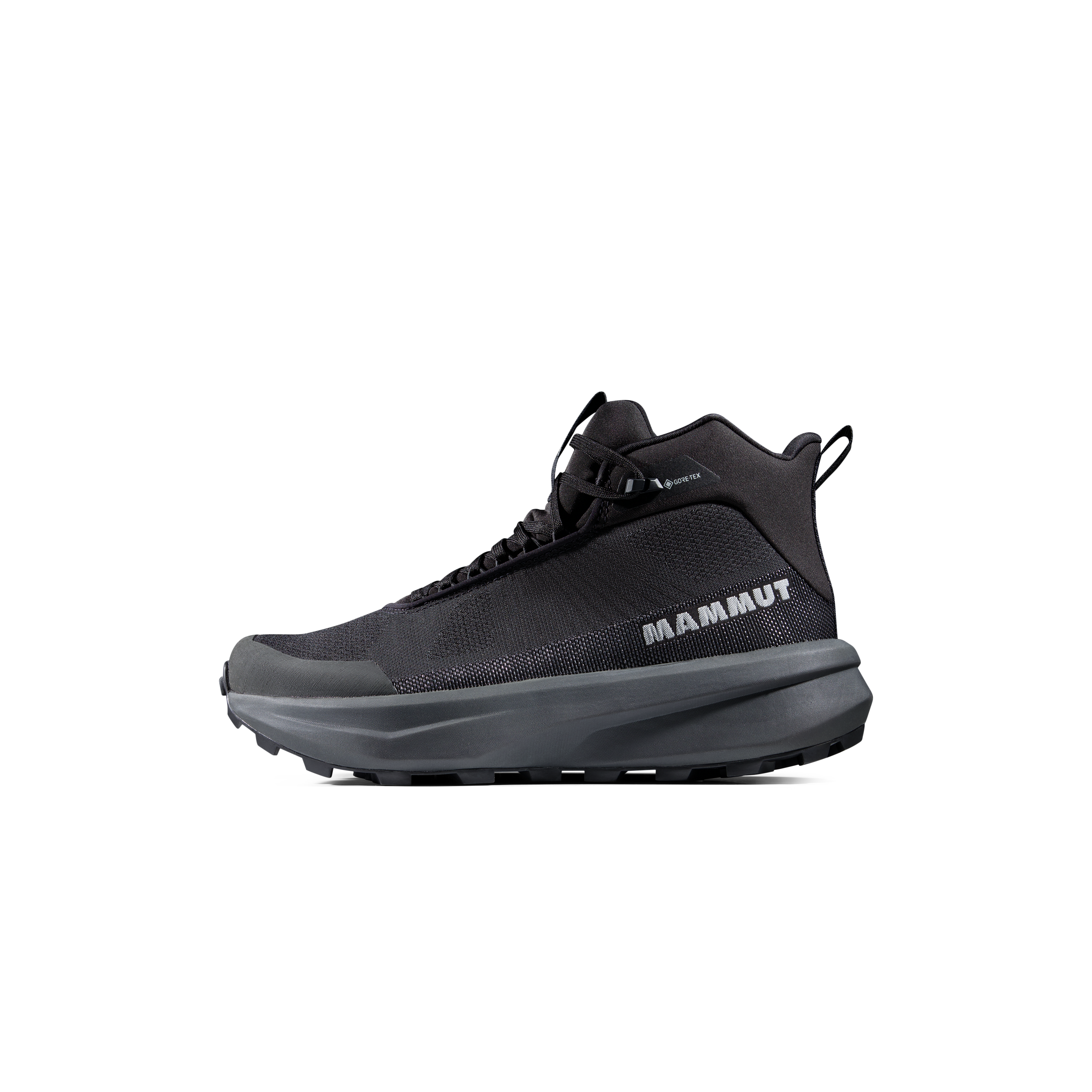
We may earn a commission if you buy through these links, at no extra cost to you. Affiliate disclosure
Cool-weather and exposed-route extras:
Swiss High-Route Extras
Choose the Right Kind of Hard
First big Swiss challenge
Choose Hohtürli or a long Via Alpina stage if you have strong endurance but limited exposure experience.
Exposure challenge
Hardergrat fits hikers who are already comfortable with narrow ridges and want a sustained mental challenge.
Alpine-hiking progression
Move into T4 only after T3 terrain feels routine and you are confident with route-finding, hands-on movement and exposed terrain.
Hard Swiss Hikes Map
The routes span the Bernese Oberland, Valais, Appenzell Alps and Graubünden.
Regional map only. Use SwissTopo and current official route descriptions for navigation.
Plan the Rest of Your Swiss Hiking Trip
Hardest Swiss Alps Hiking Questions
What is the hardest hike in the Swiss Alps?
Hardergrat is among the hardest non-technical ridge hikes because of its exposure, length and limited exits, but some T4–T5 alpine hikes are technically more serious.
What does T4 mean in Switzerland?
T4 means alpine hiking: trails may be faint, hands may be needed, route-finding becomes more important and the terrain can be significantly exposed.
Is Hardergrat suitable for beginners?
No. It is best for experienced hikers who already know they are comfortable with sustained exposure and long ridge travel.
Which hard Swiss hike is best for endurance rather than exposure?
Barrhorn and long Via Alpina/Haute Route stages are better fits for hikers who want major vertical gain without sustained technical scrambling.
Do I need a guide?
Most standard hiking routes do not inherently require a guide, but T4–T5 terrain can justify hiring one if your route-finding or exposure experience is limited.
How This Page Defines “Hard”
We separate physical difficulty from technical hiking difficulty. SAC T-grades, vertical gain, route length, exposure, escape options and weather sensitivity all contribute. Current route conditions should always be checked through official Swiss sources and local hut or tourism information immediately before departure.
Verification date: October 2, 2026.
Was this helpful?
🏔Related peaks nearby
🧭Explore & compare
Global Summit Guide is an independent mountaineering resource founded in 2026. The team combines first-hand trekking and climbing experience with in-depth research and professional health and nutrition review to help climbers choose objectives, prepare properly, and stay safe.
Health, altitude, and nutrition content is reviewed by Taylor Ludlow (Registered Nurse) and Brigg Hoopes (Nutritionist).
What We Don't Know Yet
Mountain information changes quickly. This box explains the limits of what this page can responsibly promise.
- Route conditions, trailhead access, crevasse exposure, stream crossings, and rescue access may vary from published planning guidance.
- Route conditions, snowpack, closures, and weather can change quickly after this page is updated.
- Permit rules, fees, quotas, and reservation windows may change between review cycles.
- Operator availability, pricing, guide ratios, and cancellation terms can change by season.
- Your fitness, altitude response, risk tolerance, and experience level may change what is safe or realistic.
Verify current conditions with official land managers, guide services, local forecasts, and current route reports before booking or climbing.
Mountaineering, rock and ice climbing, glacier travel, and high-altitude activity are inherently dangerous and can result in serious injury or death. The information on Global Summit Guide is provided for general informational and educational purposes only and is not a substitute for professional instruction, qualified guiding, proper equipment, or your own judgment and experience.
Route conditions, weather, snowpack, permits, regulations, and hazards change constantly and may differ from what is described here. Details may be incomplete, out of date, or contain errors. Always verify current information with local authorities, certified guides, and official sources before making any decision in the mountains.
Nothing on this site is medical, legal, or financial advice. Our fitness, acclimatization, altitude, and nutrition content is general in nature; consult a qualified physician before beginning any strenuous exercise program or exposing yourself to high altitude.
You are solely responsible for your own safety and decisions. To the fullest extent permitted by law, Global Summit Guide and its team accept no liability for any loss, injury, damage, or expense arising from use of, or reliance on, this information. By using this site you acknowledge these risks and accept these terms.
Some links on this site may be affiliate links. If you buy through them we may earn a small commission at no extra cost to you; this never affects our recommendations.
Global Summit Guide recommendation path
Next Best Mountain to Research
Use these recommendations to continue the right planning path instead of stopping on one page.
Use current permit, weather, route, and operator information before booking or climbing.