
Last updated October 1, 2026
Hardest Hikes in Japan: 8 Serious Routes for Experienced Hikers
Japan’s hardest hiking objectives are not all hard for the same reason. The Daikiretto and Tsurugi-dake demand confidence on exposed rock and fixed chains. Daisetsuzan demands wilderness commitment. Mount Yari and Kitadake combine altitude with multi-day effort. Fuji’s Gotemba Trail is technically simpler but punishingly long. This guide separates those difficulty systems so you can choose the challenge you actually want.
“Hardest hike” is a useful question only after you define what makes a route hard. Japan ranges from crowded volcanic summit trails to exposed knife-edge ridges, remote Hokkaido traverses and hut-based alpine objectives. A strong road runner can still be unprepared for chains above a drop, while an experienced scrambler can be surprised by a 2,300-meter ascent at altitude.
This ranking therefore compares four difficulty dimensions: technical movement and exposure, physical load, altitude, and commitment/remoteness. It is an editorial planning comparison—not an official Japanese trail-grading system—and it assumes normal in-season conditions.
Before committing, verify the latest trail, hut, transport and weather information with the local operator or official authority. Typhoons, heavy rain, residual snow and early autumn snow can change the correct decision quickly, especially above treeline.
What makes a Japan hike genuinely hard?
Exposure separates the hardest Japanese Alps routes from ordinary strenuous hiking. Daikiretto and Tsurugi demand secure movement on steep rock, chains and ladders. Yari and Kitadake add altitude and multi-day fatigue. Daisetsuzan adds isolation and weather commitment. Gotemba makes the list because of pure vertical gain and distance.
Winter conditions are not scored here. Snow and ice can turn a summer hiking route into a mountaineering objective requiring completely different equipment, skills and risk decisions.
Four Variables Decide the Order
The order assumes normal summer or official hiking-season conditions. Wet rock, typhoon rain, residual snow, first snow or closed huts can change the difficulty class immediately.
8 Hardest Hikes in Japan
These are serious normal-season objectives that remain primarily hiking, scrambling or fixed-chain mountain routes. Technical winter ascents and roped climbing routes are deliberately outside the list.
Yari–Hotaka / Daikiretto Traverse
The Daikiretto is the clearest answer when “hard” means consequential alpine hiking. The route links the Yari and Hotaka systems across steep rock, ladders and fixed chains with large exposure and limited room for sloppy movement. JNTO specifically warns beginners that the Daikiretto section becomes genuinely dangerous.
Tsurugi-dake Standard Summer Route
Tsurugi-dake sits at the edge of what many travelers would call hiking. The standard summer route uses fixed chains and ladders across exposed terrain, and the approach from Murodo normally includes a mountain-hut night. It belongs here only with a strong warning: snow, ice or off-standard lines move this into mountaineering.
Daisetsuzan Grand Traverse
Daisetsuzan is hard in a different way. JNTO describes an approximately 80-kilometer Grand Traverse for hardcore trekkers. The scale of the park, sparse infrastructure, fast weather and long stretches away from easy exits make planning, shelter strategy and self-reliance as important as fitness.
Mount Yari via Yarisawa
The Yarisawa route from Kamikochi is the classic way to reach Yarigatake. JNTO lists about 35.6 kilometers, 19.5 hiking hours over three days and 1,680 meters of elevation gain. The approach is primarily trail hiking, but the sharp summit finish adds ladders, chains and exposure after a long alpine approach.
Mount Kita (Kitadake) from Hirogawara
Kitadake is Japan’s second-highest mountain at 3,193 meters. Yamanashi’s official travel guide notes that the Minami Alps trekking guide gives routes here four out of four stars for difficulty. The challenge comes from sustained climbing, high altitude, long mountain days and a trailhead/hut system that rewards careful logistics.
Mount Rishiri
Rishiri’s elevation looks modest beside the Japanese Alps, but the mountain rises dramatically from an island in the Sea of Japan. JNTO calls the summit hike strenuous and suitable for advanced hikers; both summit trails are challenging and erosion increases the difficulty. Remote ferry access adds a commitment layer that mainland day hikes do not have.
Mount Fuji — Gotemba Trail
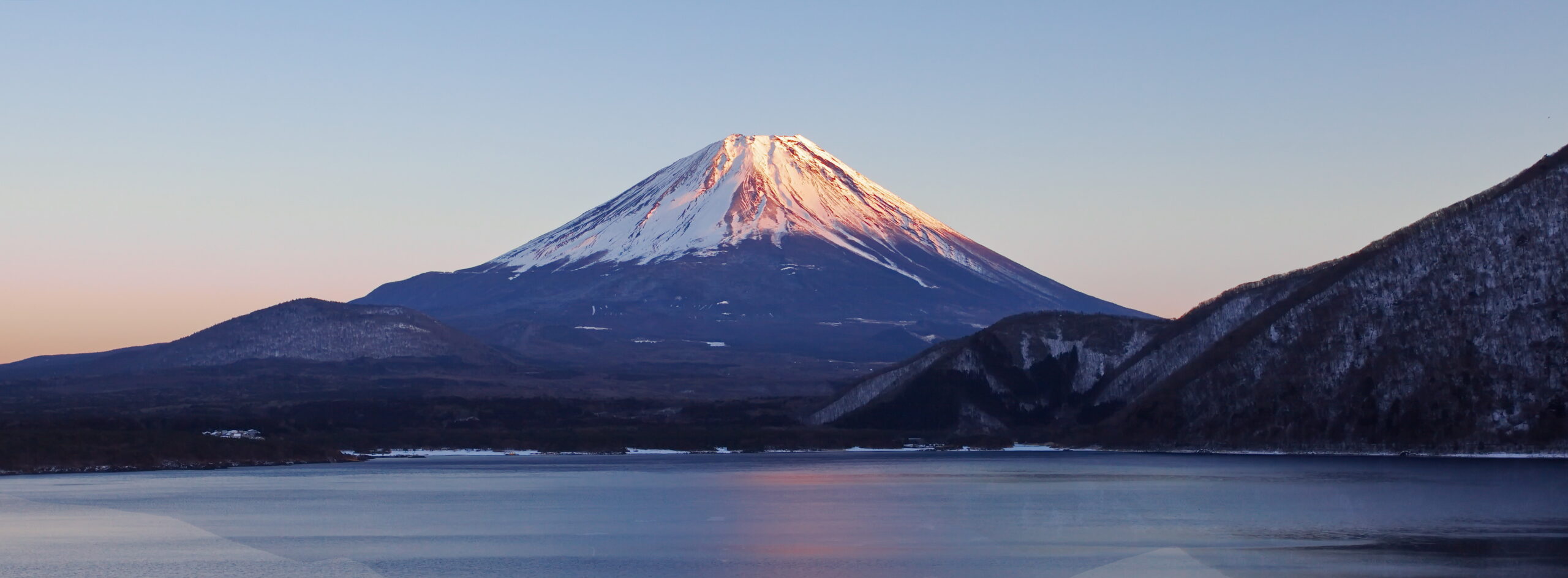
The Gotemba Trail starts around 1,440 meters and is the longest of Fuji’s standard summit routes. The official Fuji portal lists a 10.5-kilometer ascent, about 8 hours 40 minutes up, an 8.4-kilometer descent and roughly 2,300 meters of vertical gain. It has fewer huts than the busier routes, so pacing, water and altitude management matter.
Southern Yatsugatake Main Ridge
Southern Yatsugatake is the rugged half of the range, with routes over peaks such as Io, Yokodake and Akadake. JNTO describes it as true alpine trekking and highlights a two-day overnight loop along the main southern ridge. It is a strong progression route for hikers moving from strenuous summits toward more exposed Japanese Alps objectives.
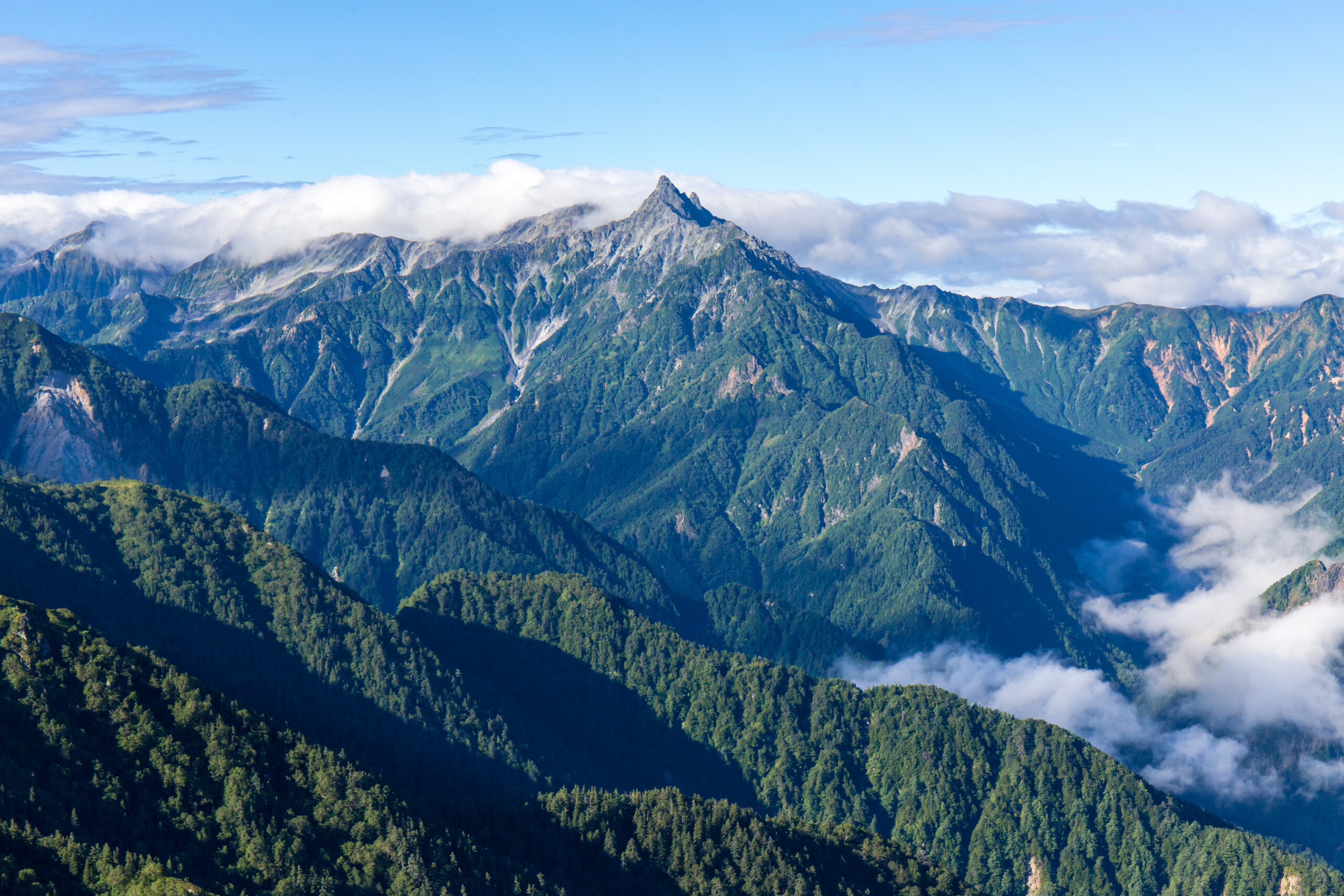
Fitness gets you to the ridge. Movement skill gets you across it.
On Yari, Hotaka, Daikiretto and Tsurugi, a strong aerobic engine is only part of readiness. Dry-rock movement, hand placement, three-point contact and comfort around exposure matter just as much.
Hard Japan Hikes Side by Side
Use the “difficulty driver” column first. The right challenge is the one that matches your existing skill—not simply the one with the biggest number.
| Route | Region | Typical Structure | Main Difficulty Driver | Exposure | Best Fit |
|---|---|---|---|---|---|
| Daikiretto | Northern Alps | Multi-day hut traverse | Chains, ladders, steep rock | Very high | Expert alpine hikers |
| Tsurugi-dake | Tateyama / Toyama | Usually 2 days | Fixed-aid rock terrain | Very high | Advanced hikers at climbing boundary |
| Daisetsuzan Grand Traverse | Hokkaido | Multi-day / ~80 km | Remoteness + weather + endurance | Low–moderate terrain dependent | Self-reliant trekkers |
| Mount Yari | Northern Alps | 3 days / 35.6 km | Long approach + exposed summit | High near summit | Experienced hut hikers |
| Kitadake | Southern Alps | 2–3 days | Altitude + sustained ascent | Moderate | Strong high-mountain hikers |
| Mount Rishiri | Hokkaido | Long summit day | Steep eroded trail + logistics | Moderate | Advanced day hikers |
| Fuji Gotemba | Shizuoka | Very long summit day / hut option | ~2,300 m gain + altitude | Low–moderate in season | Very fit hikers |
| Southern Yatsugatake | Nagano / Yamanashi | 2-day ridge option | Rugged ridge + repeated peaks | Moderate–high by variant | Alpine progression |

Nontechnical does not mean easy.
Gotemba asks for roughly 2,300 meters of vertical gain before the summit altitude is fully added to the equation. The skill problem is simpler than Daikiretto; the pacing problem is not.
Where Hard Hiking Ends and Mountaineering Begins
Japan’s high mountains change category quickly with season. A route described as a hike in August can require crampons, ice axe judgment or technical snow skills outside the normal summer window.
Trail + Scrambling Skills
Gotemba, Kitadake, Rishiri and many Yatsugatake lines remain hiking objectives in normal dry conditions. Fitness, weather and navigation dominate.
Daikiretto & Tsurugi
Chains and ladders do not make terrain consequence-free. These routes require secure movement around exposure and should not be treated like ordinary trail hiking.
Snow, Ice & Winter Fuji
Outside the normal season, high routes can require crampons, ice axe, avalanche judgment and technical winter experience. Summer advice no longer applies.
Japan Has Several Mountain Calendars, Not One
Fuji has a formal summer season. The Japanese Alps depend on snow, huts and transport. Hokkaido’s season is shorter. Typhoon systems can affect any of them.
Plan by elevation and latitude.
Japan stretches far enough north–south that “September hiking” can mean very different conditions. Fuji’s official summit season ends while parts of the Japanese Alps remain active; Hokkaido can already be moving toward colder, shorter-day conditions.
- Fuji: use only the official route-opening window and current portal information.
- Japanese Alps: check residual snow, hut dates, transport and the latest mountain forecast.
- Hokkaido: build more weather margin and respect the shorter shoulder season.
- Everywhere: typhoon forecasts override itinerary ambitions.
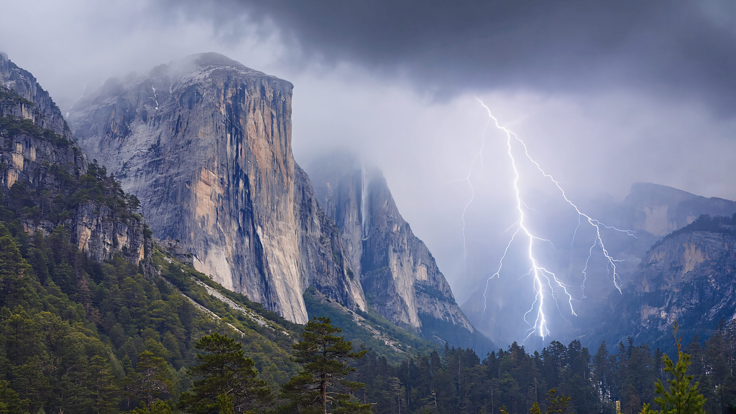
The hardest route is often the one with the fewest good escape decisions.
On exposed Japanese Alps ridges, the most important skill may be recognizing the forecast or timing that makes the objective inappropriate before the technical section begins.
Build for Wet Rock, Long Days and Fast Weather
Gear supports judgment; it does not replace experience. Route-specific snow or technical requirements sit outside this general hiking kit.
Grip, layers, light, navigation and descent support
- Footwear: secure grip for wet rock, roots and volcanic scree.
- Rain shell: Japan’s mountain weather can move from humid to cold and wet quickly.
- Headlamp: essential on long summit days and pre-dawn starts.
- Trekking poles: useful on long descents and volcanic terrain where appropriate.
- Offline navigation: carry downloaded maps even on marked routes.
- Warm layer: summit temperatures can be dramatically lower than the trailhead.
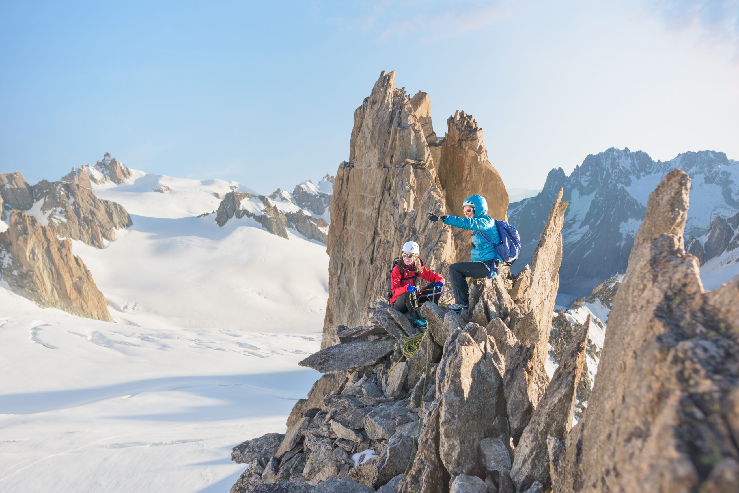
Affiliate disclosure: Global Summit Guide may earn a commission from qualifying purchases through gear links, at no extra cost to you.
Japan Hard-Hiking Gear
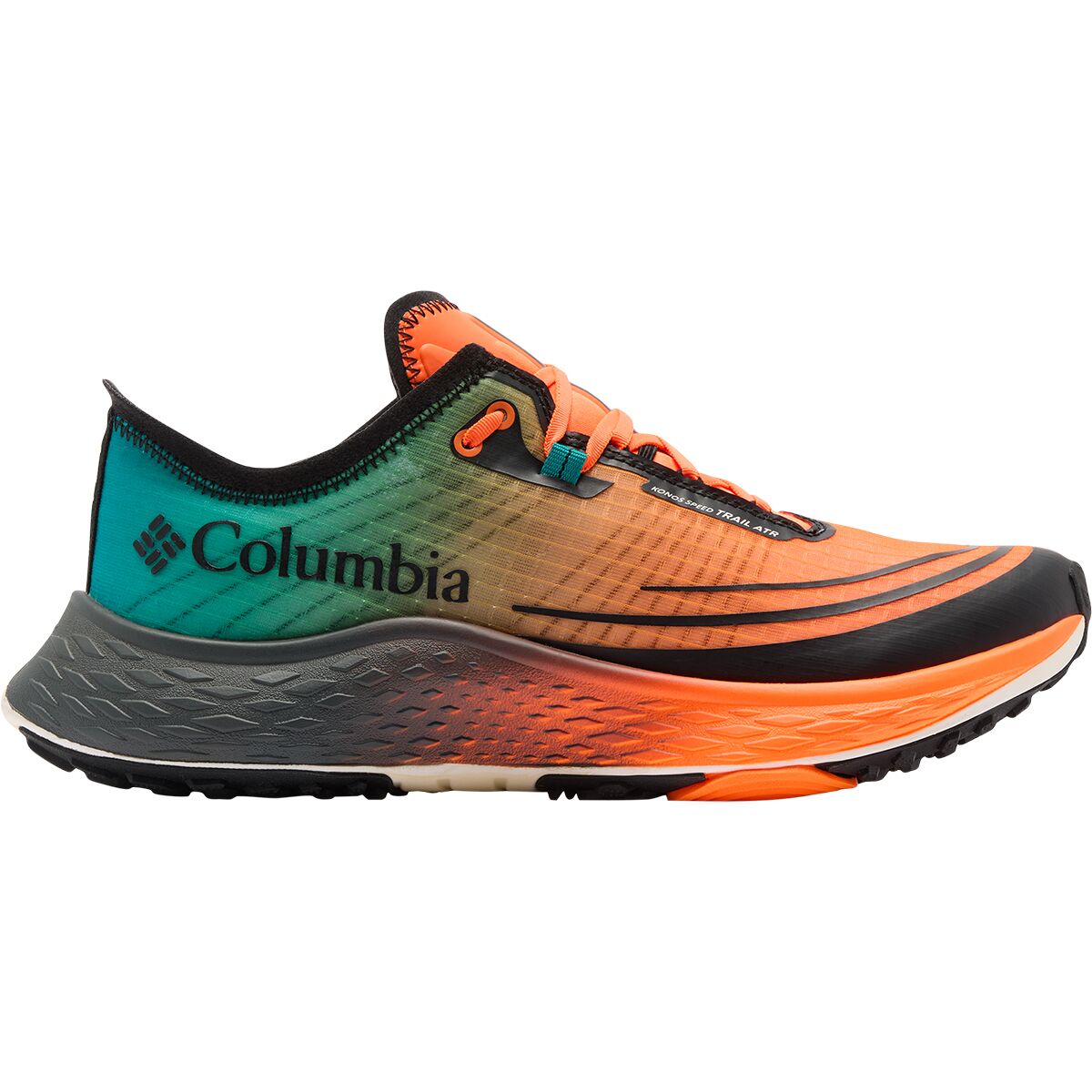
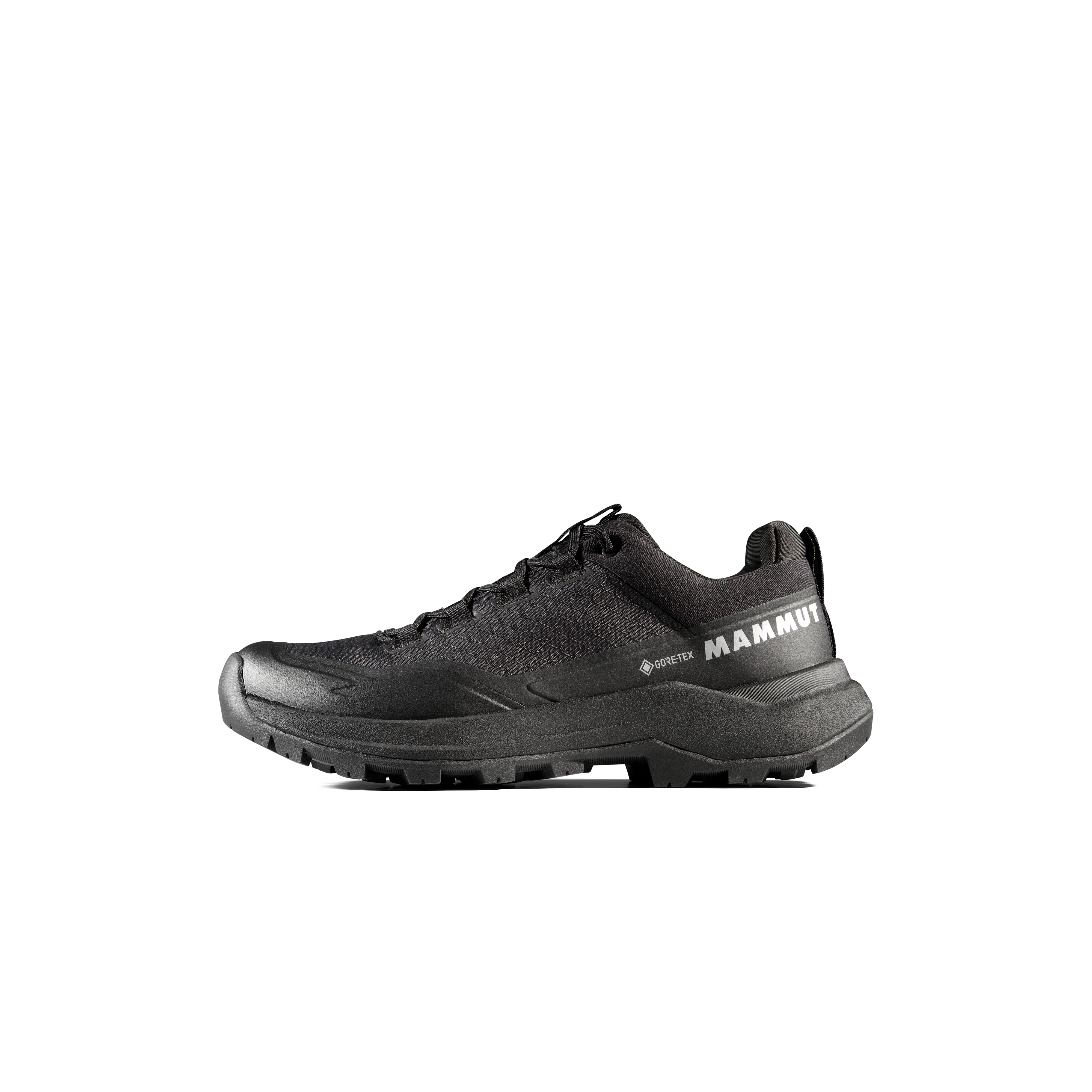
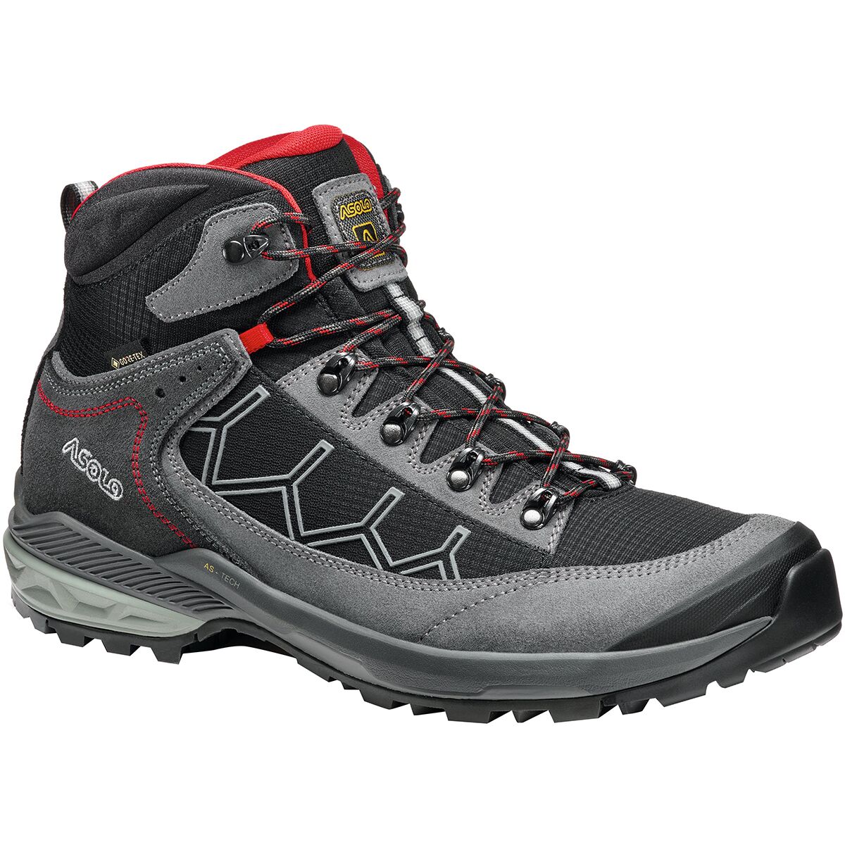
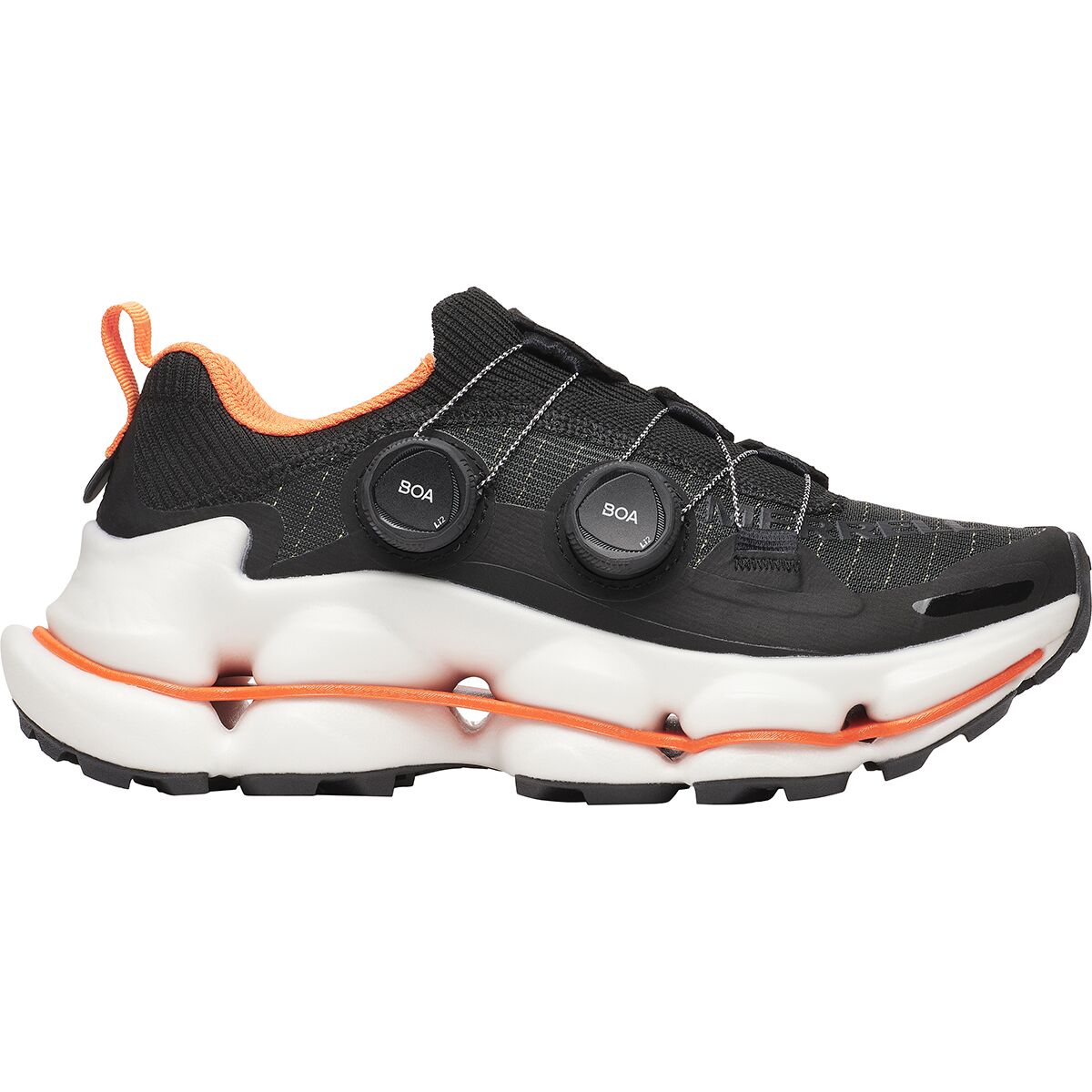
We may earn a commission if you buy through these links, at no extra cost to you. Affiliate disclosure
High-Mountain Essentials
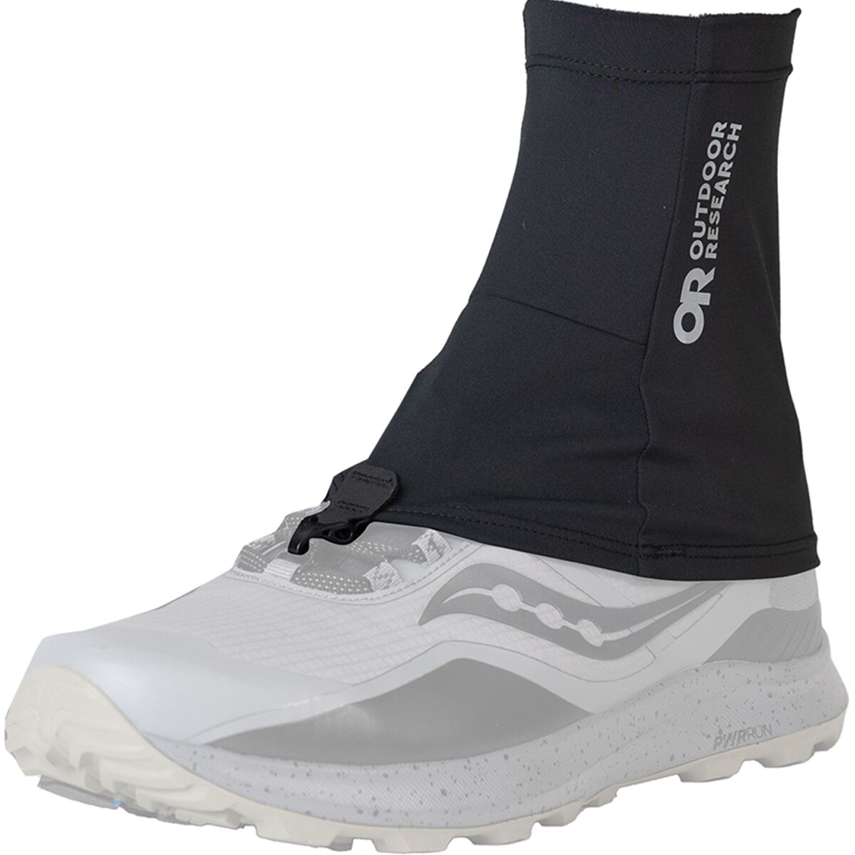
- Outdoor ResearchOutdoor Research Swift Run Gaiters$34.95Check price at Back Country (opens in a new tab)
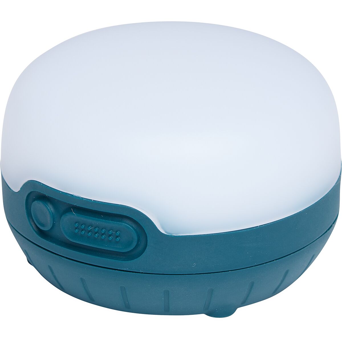
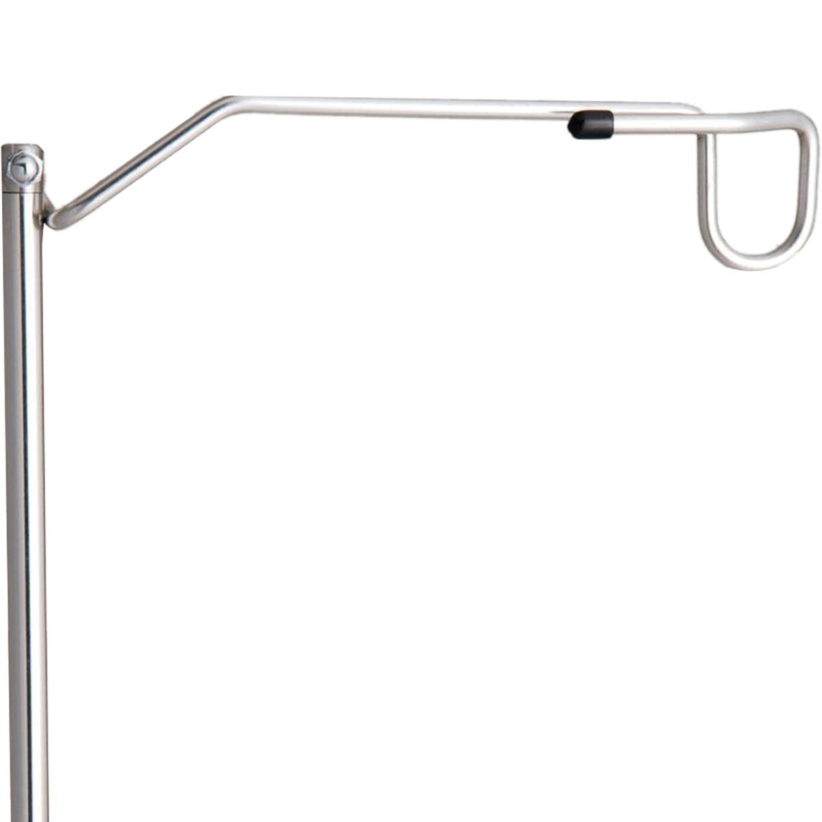

Do not make exposure your first advanced hiking skill.
Build long-day fitness and altitude experience on lower-consequence routes first. Then add rocky ridges and fixed-aid terrain when your movement, weather and turnaround habits are already reliable.
The Hard Routes Are Spread Across the Country
The map spans Hokkaido in the north, the Northern and Southern Japanese Alps in central Honshu, and Mount Fuji farther south. A trip designed around one hard objective should usually stay regional rather than treating these as adjacent trailheads.
Use the map for national orientation only. The route-specific page or official local source should own trailhead, hut, bus, ferry and last-transport details.
Build Toward the Hardest Routes in Layers
The safest progression adds one new difficulty at a time instead of stacking altitude, exposure, remoteness and long duration on the same first trip.
Long Nontechnical Day
Use a long forest or mountain day to prove pacing, fueling, blister management and descent durability.
In-Season Mount Fuji
Learn how your body responds above 3,000 meters without adding serious scrambling at the same time.
Yatsugatake or Kitadake
Add multi-day alpine logistics, early starts and stronger terrain while preserving reasonable retreat options.
Yari Before Daikiretto
Use the Yarisawa approach and summit block to test your comfort on fixed aids before committing to a sustained exposed traverse.
Daisetsuzan Traverse
Add remoteness, weather and self-reliance once your mountain systems work across multiple days.
Daikiretto / Tsurugi
Attempt only when exposure is familiar, not novel, and when dry conditions and current route information support the objective.
Build Skills That Transfer Beyond Japan
These non-ranking educational links strengthen judgment without competing with the Japan destination pages.
Use This Page as the Difficulty Gateway—Then Move Into the Exact Planning Owner
The regional parent handles broad hike discovery. This page compares hard and challenging routes. Fuji’s live child owns its detailed route choice, the Japan lodging guide owns base selection, and the Japanese Alps guide handles mountain-system and climbing context.
Verify the Final Route With the Local Source
Times, openings and facilities change. Use the official source below for final route and seasonal checks rather than treating an evergreen comparison as a live conditions report.
Mount Yarigatake
Distance, duration, elevation gain, season and Kamikochi access for the Yarisawa reference route.
Official JNTO route →Tateyama, Tsurugi & Daikiretto
Tsurugi access plus the long Tateyama–Kamikochi traverse and explicit Daikiretto caution.
Official JNTO guide →Daisetsuzan
Park orientation and the approximately 80-kilometer Grand Traverse reference.
Official park guide →Mount Kitadake
Official travel guidance for Japan’s 3,193-meter second-highest peak and its four-of-four route difficulty.
Official Yamanashi guide →Mount Rishiri
Season, ferry logistics and official description of the strenuous advanced-hiker summit route.
Official JNTO guide →Gotemba Trail
Current season, route length, ascent/descent estimates, trailhead elevation and closures.
Official Mount Fuji portal →Hardest Hikes in Japan FAQ
Use these as planning answers, then verify the exact route and current conditions before departure.
What is the hardest hike in Japan?
For experienced summer hikers staying on recognized hiking and scrambling routes, the Yari–Hotaka traverse across the Daikiretto is one of Japan’s most serious mainstream mountain objectives. It combines long hut stages with steep rock, chains, ladders and sustained exposure where a fall can have severe consequences.
Is Daikiretto harder than climbing Mount Fuji?
Yes, in technical hiking terms. Mount Fuji’s standard summer routes are physically strenuous and high-altitude walks, while Daikiretto requires far more exposure tolerance, scrambling skill and movement on chains, ladders and steep rock. Fuji can still become mountaineering terrain outside the official summer season.
Is Mount Tsurugi a hike or a climb?
The standard summer route to Tsurugi-dake is often approached as an advanced mountain hike in Japan, but it sits at the hiking–mountaineering boundary. Exposed rock, chains and ladders make it unsuitable for inexperienced hikers, and snow or ice changes the activity substantially.
What is the hardest Mount Fuji trail?
The Gotemba Trail is the most physically demanding of the four standard summer summit routes. It starts around 1,440 meters, climbs roughly 2,300 vertical meters and has a 10.5-kilometer ascent with relatively few huts before the upper mountain.
Which hard Japan hike is best for wilderness and remoteness?
The Daisetsuzan Grand Traverse is the strongest wilderness choice in this comparison. It spans about 80 kilometers across Hokkaido’s largest national park and demands multi-day self-reliance, weather judgment and careful shelter and transport planning.
When is the best season for the hardest hikes in Japan?
For the high Japanese Alps, the normal summer hiking window is generally from mid-July into early October, depending on the mountain, hut schedule, residual snow and current weather. Daisetsuzan and Rishiri have shorter northern seasons, while Mount Fuji has a tightly defined official climbing season.
Do I need technical climbing gear for these hikes?
Not for every route in normal summer conditions. Fuji, Kitadake, Rishiri and many Yatsugatake routes are primarily hiking objectives, while Daikiretto and Tsurugi include serious fixed-chain and ladder terrain. Snow, ice or winter conditions can require mountaineering equipment and skills.
Where should I stay for serious hiking in Japan?
Kamikochi and Matsumoto are key gateways for Yari and Hotaka; Murodo serves Tsurugi and Tateyama; Hirogawara is the classic Kitadake trailhead; Asahidake Onsen or Sounkyo serve Daisetsuzan; and Rishiri Island requires ferry-based logistics. Use the Japan lodging guide to structure nights around the actual trailhead.
Was this helpful?
🏔Related peaks nearby
🧭Explore & compare
Global Summit Guide is an independent mountaineering resource founded in 2026. The team combines first-hand trekking and climbing experience with in-depth research and professional health and nutrition review to help climbers choose objectives, prepare properly, and stay safe.
Health, altitude, and nutrition content is reviewed by Taylor Ludlow (Registered Nurse) and Brigg Hoopes (Nutritionist).
What We Don't Know Yet
Mountain information changes quickly. This box explains the limits of what this page can responsibly promise.
- Permit availability, reservation windows, quotas, and official fee rules may change after this page is updated.
- Weather, snowpack, avalanche risk, road access, and route conditions can change quickly and may be different on your climbing dates.
- Route conditions, trailhead access, crevasse exposure, stream crossings, and rescue access may vary from published planning guidance.
- Fitness and altitude response vary by person; no guide, itinerary, or training plan can guarantee acclimatization or summit success.
- Comparisons simplify complex decisions; the better mountain depends on current conditions, skills, timing, budget, and risk tolerance.
Verify current conditions with official land managers, guide services, local forecasts, and current route reports before booking or climbing.
Mountaineering, rock and ice climbing, glacier travel, and high-altitude activity are inherently dangerous and can result in serious injury or death. The information on Global Summit Guide is provided for general informational and educational purposes only and is not a substitute for professional instruction, qualified guiding, proper equipment, or your own judgment and experience.
Route conditions, weather, snowpack, permits, regulations, and hazards change constantly and may differ from what is described here. Details may be incomplete, out of date, or contain errors. Always verify current information with local authorities, certified guides, and official sources before making any decision in the mountains.
Nothing on this site is medical, legal, or financial advice. Our fitness, acclimatization, altitude, and nutrition content is general in nature; consult a qualified physician before beginning any strenuous exercise program or exposing yourself to high altitude.
You are solely responsible for your own safety and decisions. To the fullest extent permitted by law, Global Summit Guide and its team accept no liability for any loss, injury, damage, or expense arising from use of, or reliance on, this information. By using this site you acknowledge these risks and accept these terms.
Some links on this site may be affiliate links. If you buy through them we may earn a small commission at no extra cost to you; this never affects our recommendations.
Global Summit Guide recommendation path
Next Best Mountain to Research
Use these recommendations to continue the right planning path instead of stopping on one page.
Use current permit, weather, route, and operator information before booking or climbing.