
Last updated October 1, 2026
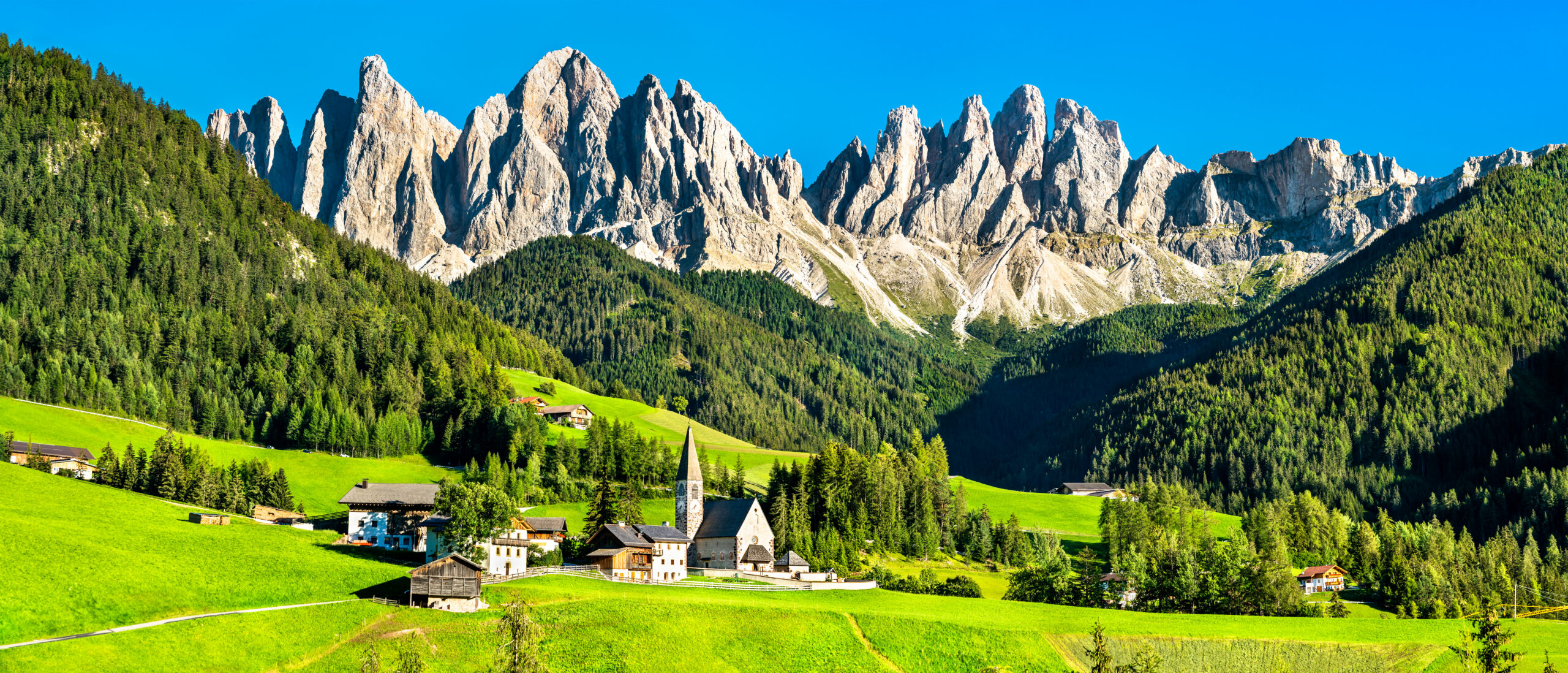
Hardest Hikes in the Italian Dolomites: 8 Serious Routes for Experienced Hikers
The Dolomites get difficult in several different ways: long high-route stages, loose scree, exposed ledges, high summits, cable-assisted hiking and relentless descents. This guide compares demanding hiking objectives while keeping true via ferrata and technical climbing on the other side of the line.
The hardest hiking route in this comparison is Alta Via 2. It stays higher and uses rougher, more exposed terrain than the better-known Alta Via 1, with sustained scree, high passes and sections where sure-footedness matters far more than ordinary trail mileage.
For a single-day objective, Piz Boè from Corvara is a strong benchmark: Alta Badia lists the demanding route at 12.1 km, about six hours, 808 m of ascent and a 3,152 m summit. Lago di Sorapis is shorter but adds exposed ledges, metal ladders and fixed-cable assistance.
This page ranks hiking difficulty under normal dry summer conditions. It does not fold the Bocchette, Marmolada glacier routes or other true via ferratas into the same list. Those objectives use different skills, gear and risk decisions and should retain their own search intent.
What makes a Dolomites hike genuinely hard?
Difficulty is not one number. A route can be physically hard without much exposure, or short but consequential because the trail crosses narrow ledges above steep terrain. Multi-day routes add fatigue, hut timing and weather accumulation.
The ranking below weighs four things together: physical load, technical hiking, exposure and commitment. Via ferrata-specific climbing difficulty is intentionally not scored.
Four Variables Decide the Order
Normal summer conditions only. Snow, wet rock, lightning, closed lifts or closed rifugi can move any route from “hard” to “wrong day.”
8 Hardest Hikes in the Italian Dolomites
This is a planning comparison, not a universal grade. Exact difficulty changes with route variant, weather, snow, pack weight and whether lifts shorten the day.
Alta Via 2
Alta Via 2 is the most demanding mainstream hiking system in the regional cluster. It spends more time high, crosses rugged limestone and scree, and some route variants use aided passages where ladders or cables supplement the trail.
Why #1: difficulty accumulates. You must handle rough terrain, big elevation changes, weather exposure and rifugio timing repeatedly rather than surviving one hard day.
Open the Alta Via 2 route guide →Piz Boè from Corvara
Alta Badia describes the hike from Corvara as demanding even though technical climbing equipment is not required in normal dry conditions. The mountain is one of the most accessible 3,000 m peaks in the Dolomites, but the full ascent and descent still demand sure-footedness and mountain experience.
Why #2: altitude, steep rocky trail and a large descent combine into a more serious day than the headline distance suggests.
Plan the Sella Group →Alta Via 1
Alta Via 1 is less technical than Alta Via 2, but “less technical” does not mean easy. Official Cortina stage descriptions repeatedly place sections in expert hiking territory, and the full trek stacks long days, high passes, hut schedules and weather decisions.
Why #3: cumulative fatigue and repeated descents create the challenge. The standard line is an excellent first major Dolomites hut trek, but it still requires multi-day mountain judgment.
Open the Alta Via 1 guide →Brenta High-Rifugio Routes
The Brenta range contains serious hiking approaches to Rifugio Brentei, Alimonta and XII Apostoli before the terrain crosses into the famous Bocchette ferrata network. Visit Trentino describes the Alimonta variant as a challenging climb through the heart of the massif.
Why #4: these hikes reach genuinely alpine terrain with big vertical relief and fewer casual exits, while still allowing hikers to stop before the ferrata systems begin.
Explore the Brenta hiking guide →Lago di Sorapis
The turquoise lake gets most of the photographs, but the approach is not a casual lake walk. Cortina’s official route description includes metal ladders and exposed ledges protected by fixed ropes and classifies the hike for experts.
Why #5: the route is relatively short, yet exposure and assisted sections can be more decisive than fitness. Wet limestone or crowding increases the stakes.
Compare Sorapis in the Dolomites parent →Croda da Lago + Mondeval
The Passo Giau–Mondeval–Lago Federa line crosses high open terrain before dropping toward Croda da Lago. Longer loop variants add substantially more ascent and time, turning the area into one of Cortina’s best hard non-ferrata days.
Why #6: the challenge comes from sustained mountain travel, exposure to weather and a substantial descent rather than one technical crux.
See Croda da Lago in the regional guide →Sassolungo Full Circuit
Lift-assisted Sassolungo versions are moderate, but completing a full circuit without using the easiest shortcuts raises the physical demand sharply. The route traverses below massive walls on rocky paths and scree with limited shade.
Why #7: it is more physical than technical, making it a useful benchmark for hikers who want a hard day without committing to cable-protected climbing.
Compare Sassolungo from the parent guide →Lagazuoi Tunnels and Summit Route
Lagazuoi combines high mountain terrain with World War I tunnel systems. A helmet and headlamp are sensible, and the steep interior route can be wet, dark and awkward even when the outside hiking is straightforward.
Why #8: the route is not the biggest endurance test, but it demands more composure and terrain judgment than an ordinary scenic walk.
Plan Lagazuoi from the Dolomites hub →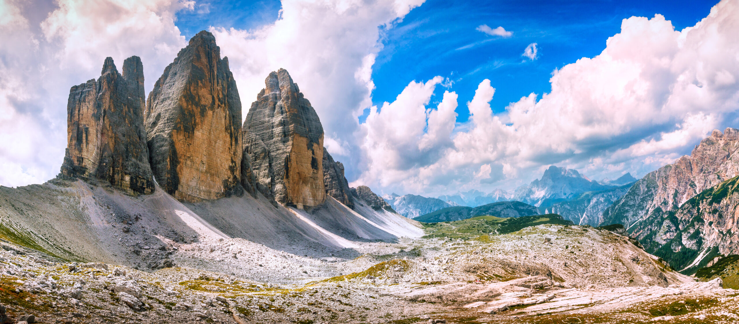
Dry limestone, wet limestone and snow-covered limestone are three different routes.
A hike that fits your experience in stable August weather may become a retreat decision after overnight snow or a fast thunderstorm forecast.
Hard Dolomites Hikes Side by Side
Exact distance and time change by route variant and lift use. Use this table to choose the type of difficulty you want, then open the route-specific guide.
| # | Route | Format | Main difficulty | Exposure | Commitment | Best fit |
|---|---|---|---|---|---|---|
| 1 | Alta Via 2 | Multi-day | High passes, scree, rough trail, cumulative vertical | High in places | Very high | Experienced hut-to-hut trekkers |
| 2 | Piz Boè from Corvara | Long summit day | Altitude, steep rock, long descent | Moderate | High | Strong mountain day hikers |
| 3 | Alta Via 1 | Multi-day | Repeated mountain days + hut logistics | Moderate | Very high | Fit trekkers entering long high routes |
| 4 | Brenta high-rifugio routes | Long day / overnight | Steep ascent + alpine terrain | Moderate–high | High | Hikers comfortable near ferrata terrain without entering it |
| 5 | Lago di Sorapis | Day hike | Exposed ledges + ladders + fixed assistance | High for nervous hikers | Moderate | Sure-footed hikers comfortable with exposure |
| 6 | Croda da Lago + Mondeval | Long day | Open high terrain + long descent | Moderate | Moderate–high | Experienced day hikers |
| 7 | Sassolungo full circuit | Long day | Distance + scree + rocky footing | Moderate | Moderate | Fit hikers wanting a non-ferrata challenge |
| 8 | Lagazuoi tunnels | Half day | Dark steep tunnels + exposure | Moderate | Moderate | Hikers comfortable with history routes and headlamps |
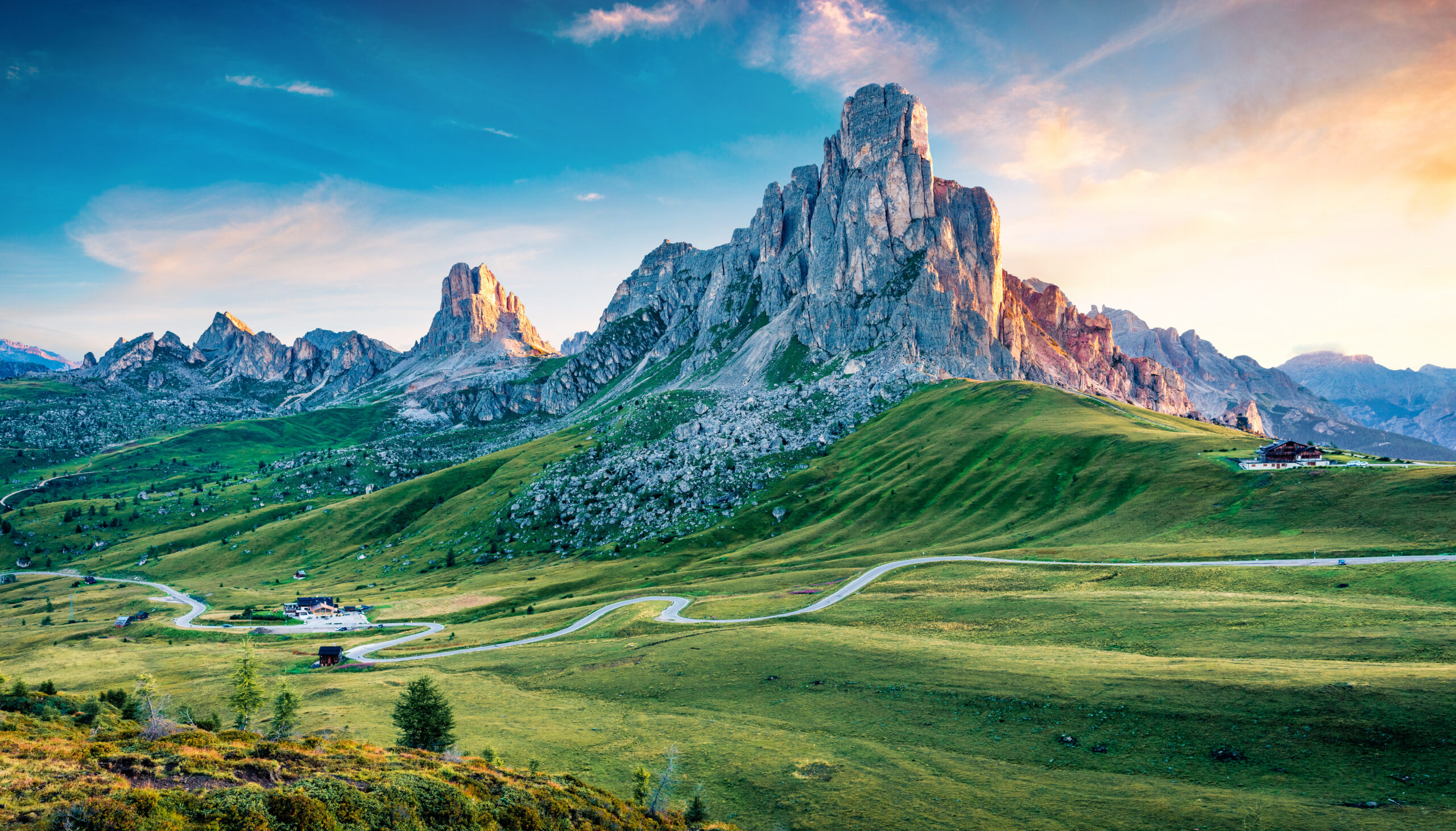
The Dolomites reward route flexibility more than rigid itineraries.
If the high objective is wrong for the day, switch massifs, shorten the route or use the valley network. The best mountain decision is often preserving tomorrow.
Where Hard Hiking Ends and Via Ferrata Begins
Fixed cables can appear on hiking trails without automatically making them via ferratas. The equipment requirement and the continuity of protected climbing are the deciding factors.
Trail Skills Dominate
Steep ascent, scree, exposure and rough trail can be serious without requiring a harness or clipping system.
Short Cables or Ladders
Sorapis is the classic example: fixed assistance helps on exposed walking terrain, but the standard hike is not built around continuous ferrata protection.
Protection System Required
When the route requires ferrata lanyards, harnesses and repeated clipping, use a dedicated ferrata guide and carry the correct certified equipment.
Choose a Conditions Window, Not Just a Month
Summer is the core hiking season, but high-route usability depends on snowpack, current weather, hut calendars and lift operations.
Long Days, Possible Residual Snow
Lower trails may be excellent while north-facing passes and high traverses still hold snow. Carry route-specific traction only when you know how and where it belongs.
Maximum Services, Maximum Traffic
Rifugi and lifts are broadly active, but afternoon thunderstorms and crowded exposed trails reward early starts.
Excellent Hiking, Splitting Calendars
Cooler days and fewer crowds can be ideal, but hut and lift closing dates diverge. Verify every critical service individually.
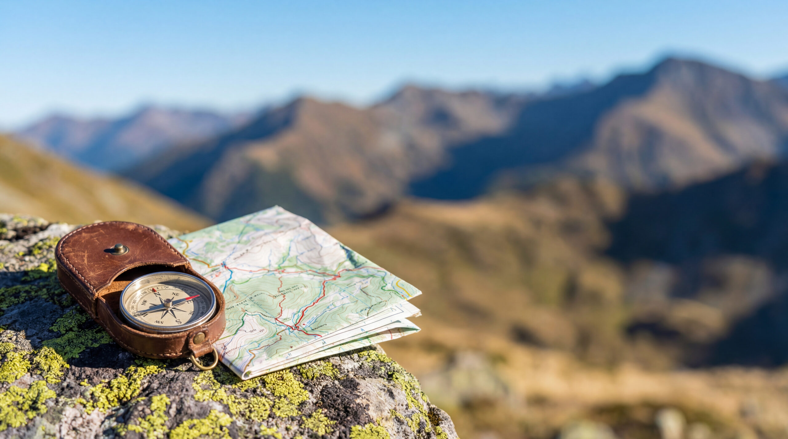
Keep a lower route ready.
On a difficult Dolomites trip, the best fallback is not “do nothing.” It is a route in a different massif, a lower valley circuit or a shorter lift-assisted day that preserves exposure margin when the forecast deteriorates.
- Check the local mountain forecast, not only the base-town forecast.
- Confirm the final lift down before committing to a lift-dependent route.
- Confirm the rifugio directly when it is essential to the stage.
- Turn around before rain reaches exposed limestone.

Some of the best hard days end in a rifugio, not on a cable.
Long nontechnical hiking is its own skill: pacing, descent durability, weather margin and knowing when the group has enough mountain left for the return.
Prioritize Grip, Weather Protection and Descent Comfort
The page covers hiking, not full ferrata systems. If your chosen route becomes a true via ferrata, add route-specific certified protection and the skill to use it.
Footwear, shell, poles, light and navigation
- Footwear: secure hiking shoes or boots tested on limestone and scree.
- Rain shell: fast storms can change exposed terrain quickly.
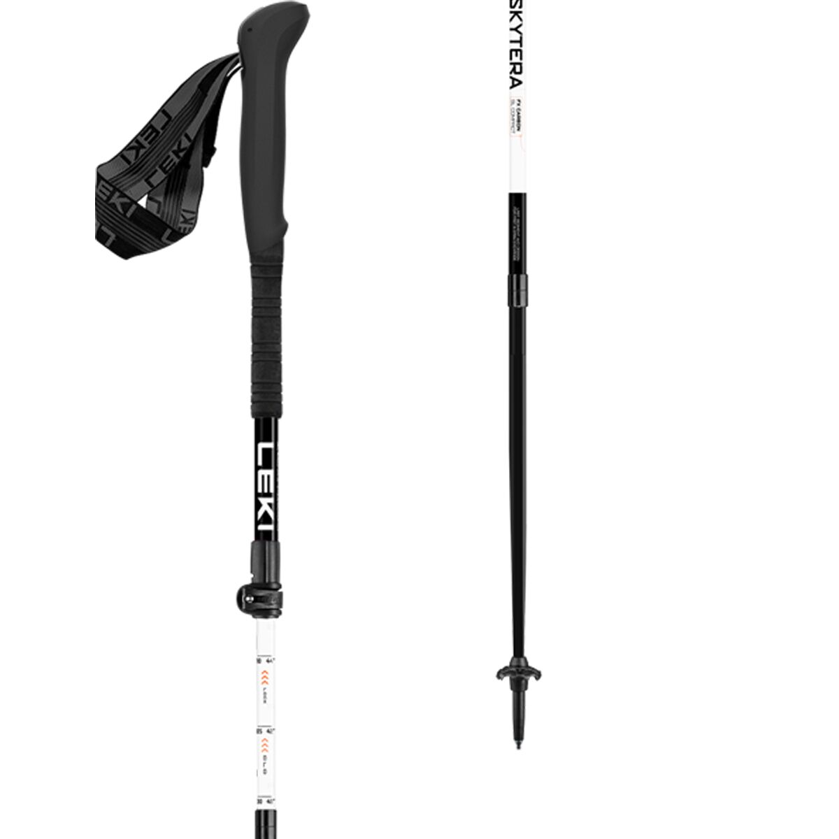
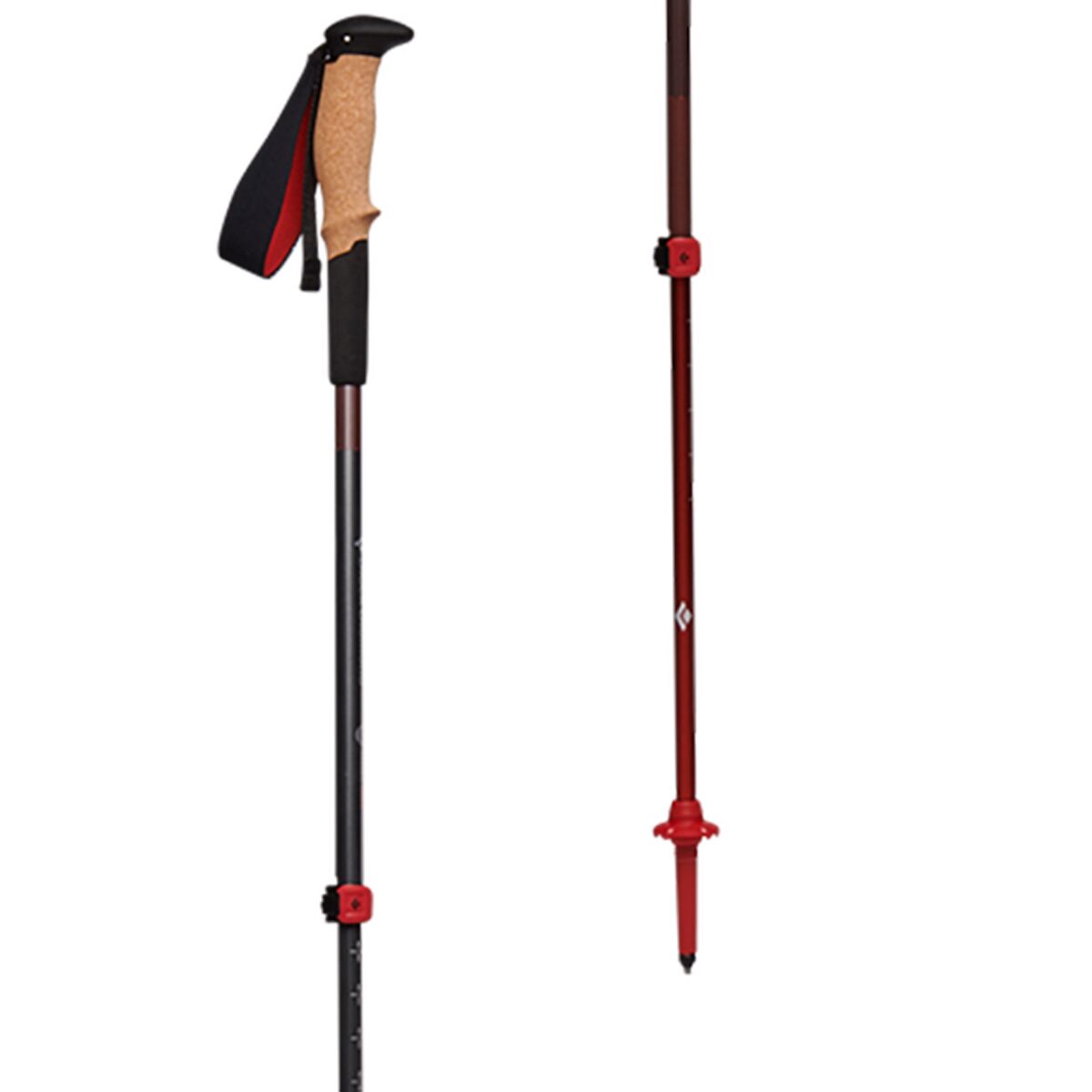
- Trekking poles: especially useful for long hut-route descents.
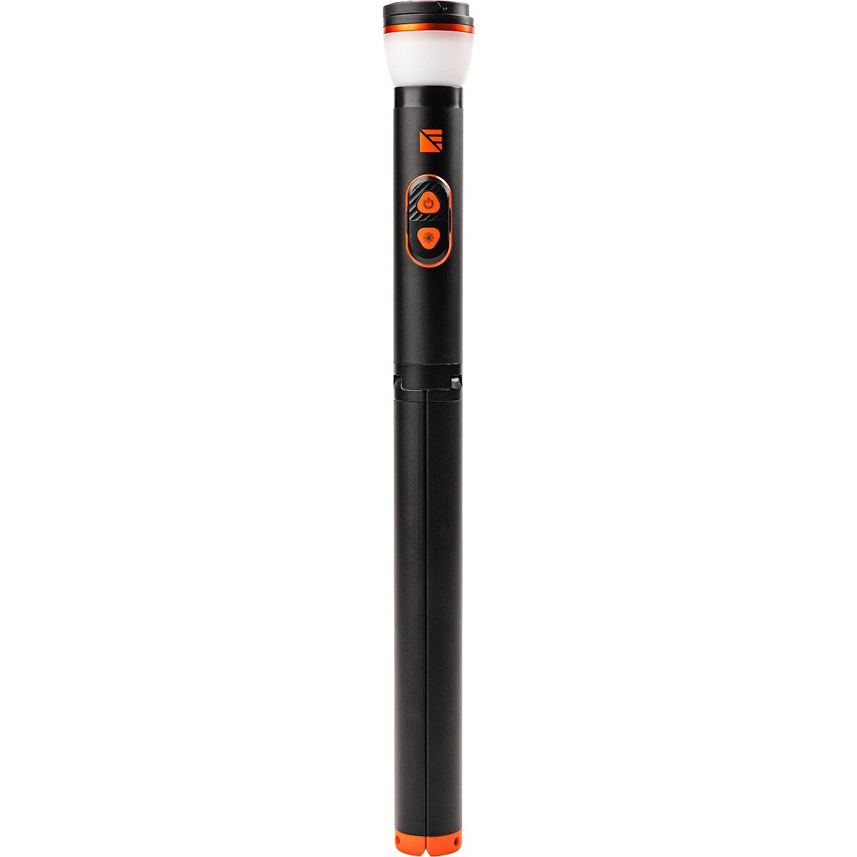
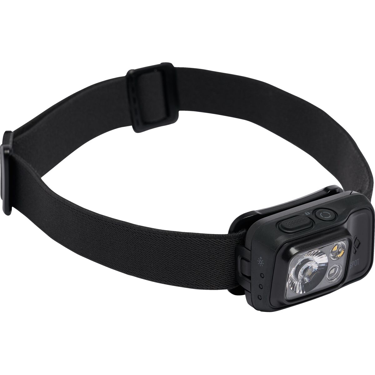
- Headlamp: mandatory for tunnel routes and valuable if a hard day runs late.
- Offline map: carry downloaded route data even when signs are good.
- Warm layer: high passes can feel dramatically colder than the valley.
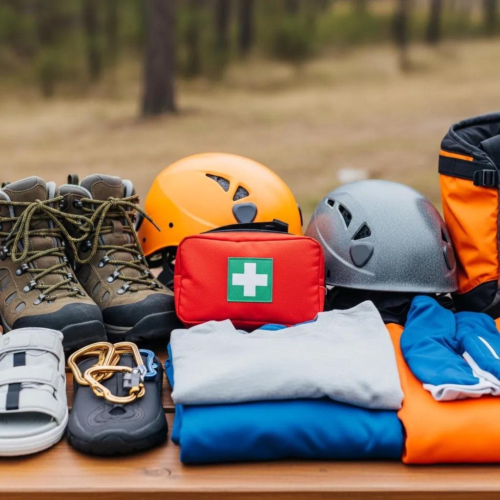
Dolomites Hard-Hiking Gear
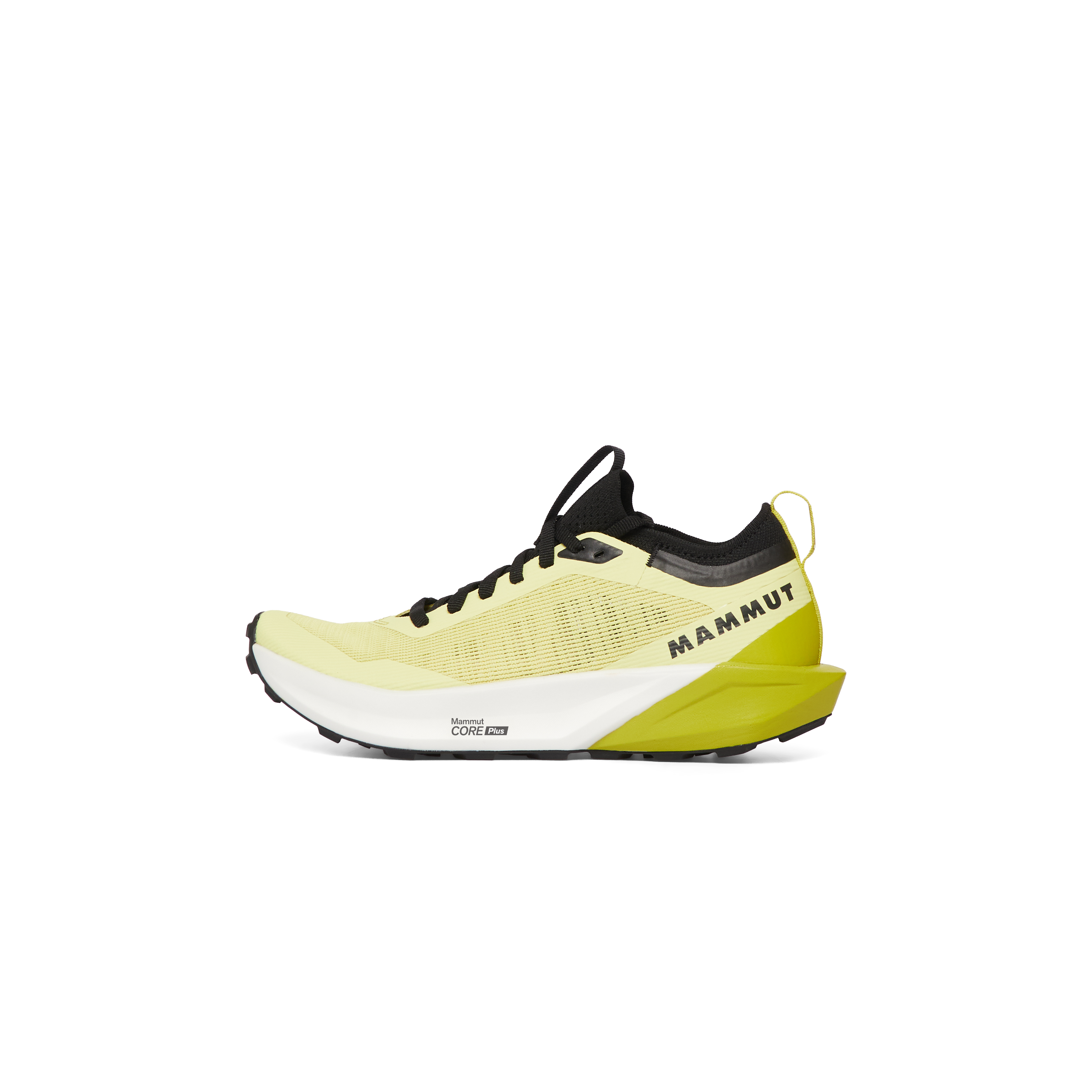
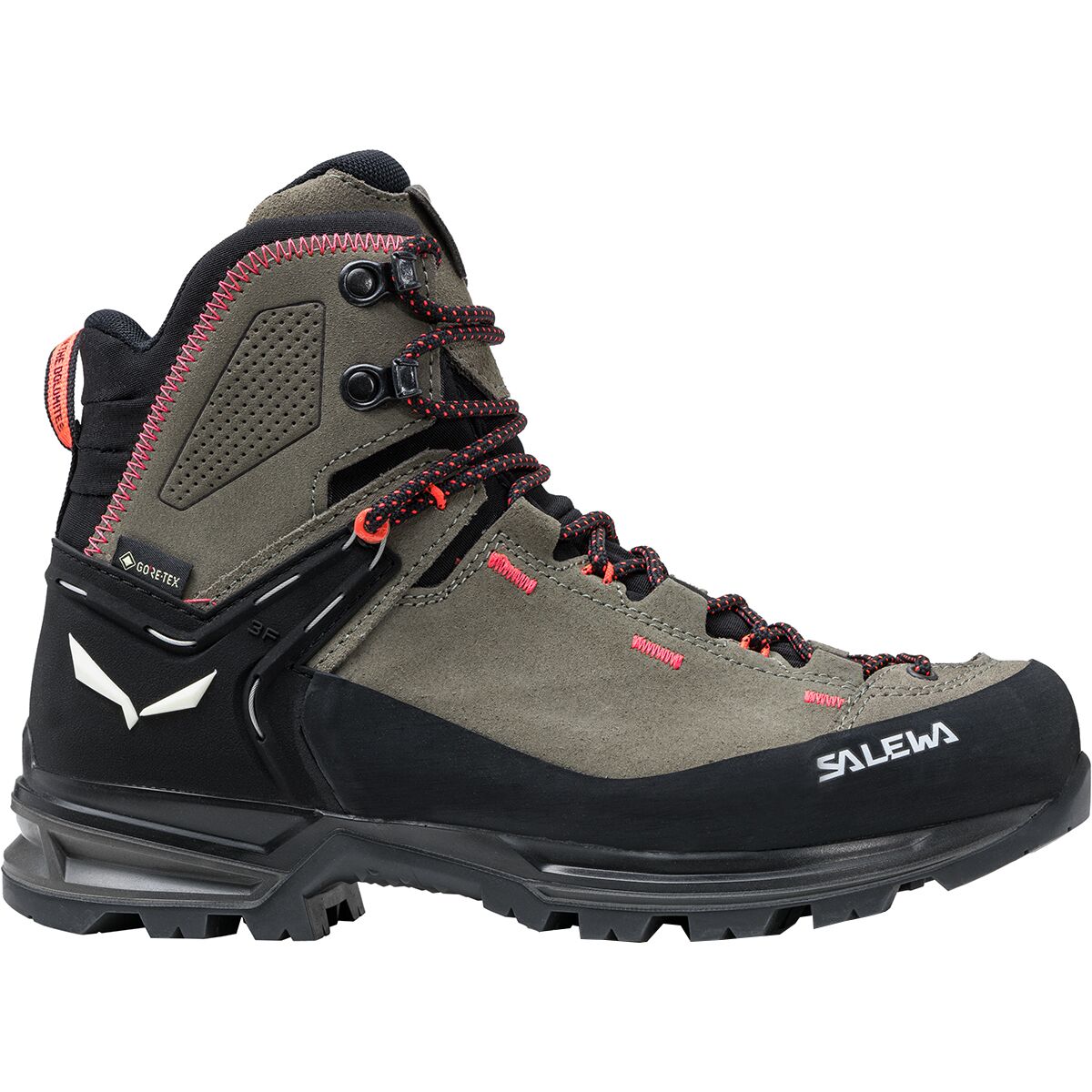
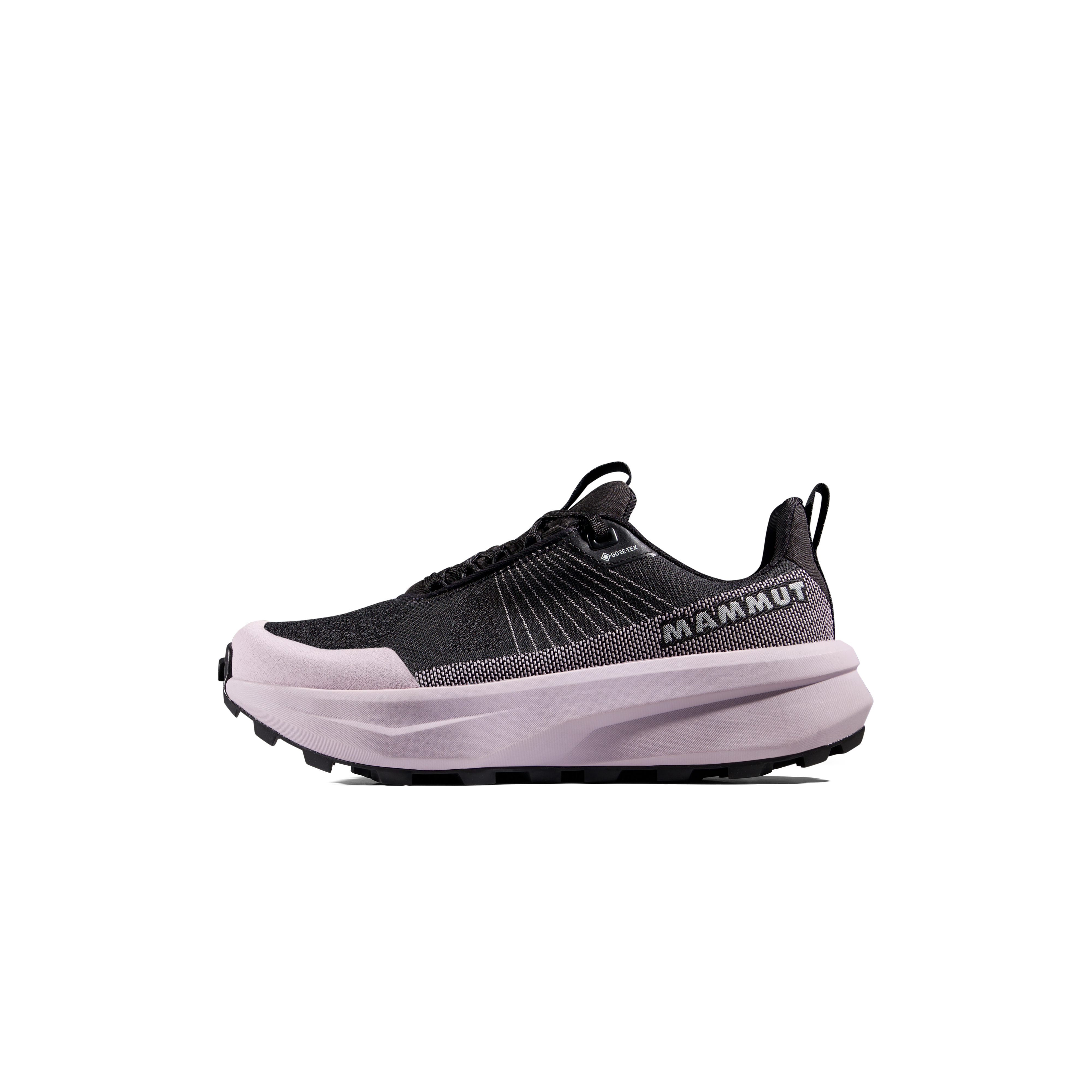
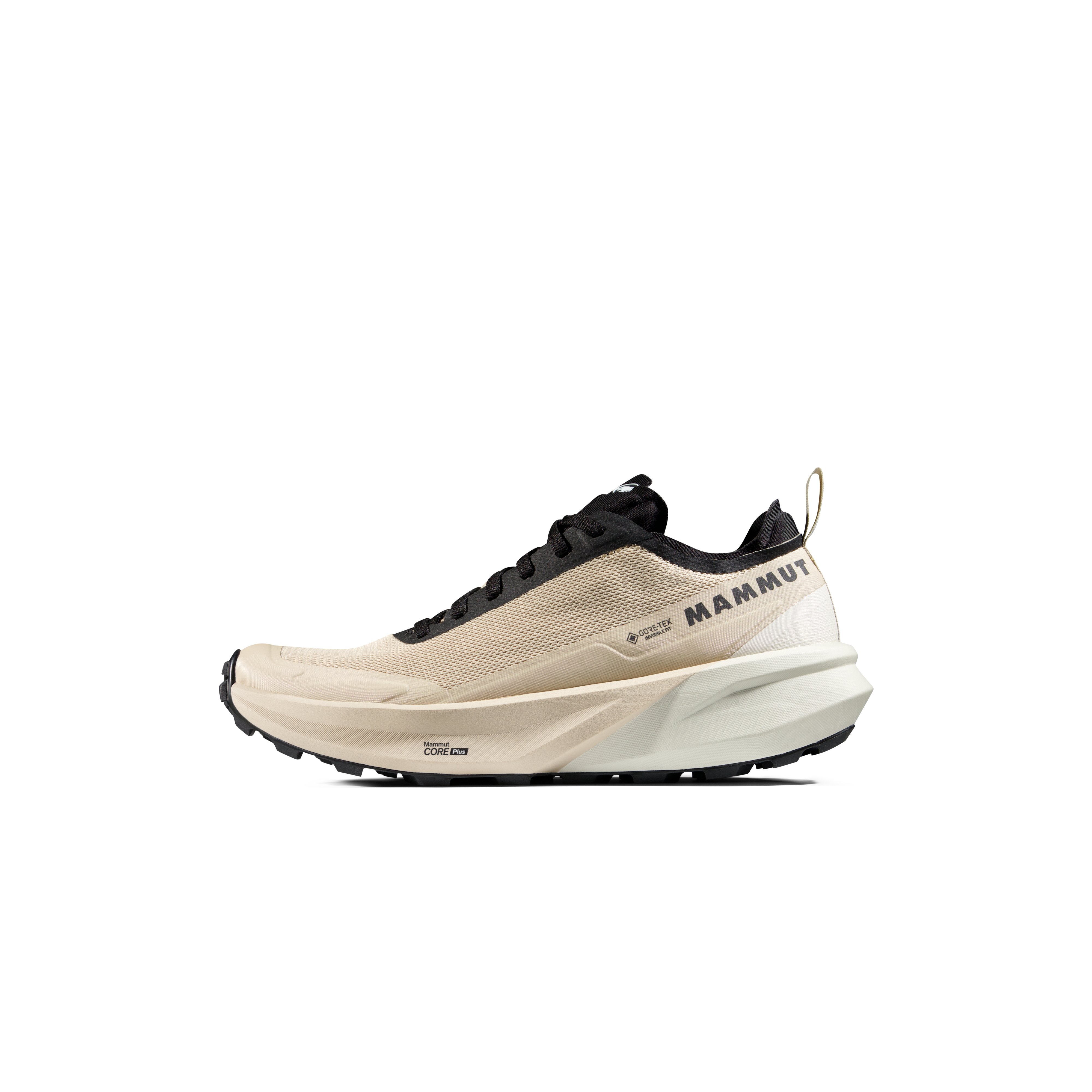
We may earn a commission if you buy through these links, at no extra cost to you. Affiliate disclosure
High-Route Essentials
- Black DiamondBlack Diamond Pursuit Shock Trekking Poles$113.97
$189.95Check price at Back Country (opens in a new tab) - Black DiamondBlack Diamond Spot Ops 400 Headlamp$44.96
$59.95Check price at Back Country (opens in a new tab)
A hard route starts with the right base and the right trailhead.
Cortina, Alta Badia, Val Gardena and the Brenta side are separate planning zones. Long drives across passes can erase the advantage of an early start.
The Italian Dolomites Are a Network of Massifs, Not One Trailhead
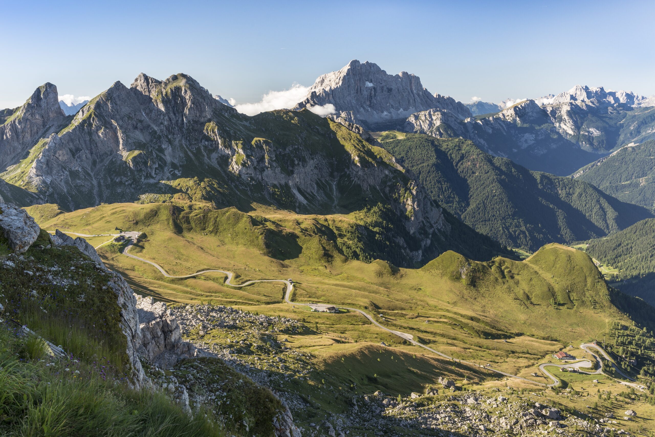
The map spans the main hiking zones used in this comparison: Val Gardena/Sassolungo in the west, the Sella Group and Alta Badia in the center, and Cortina/Tre Cime/Sorapis in the east. The Brenta Dolomites sit farther west in Trentino and should usually be treated as a separate base.
Use the map for orientation only. Individual route guides should carry the detailed trailhead, lift, hut and transit instructions.
Move From Strong Day Hiker to High-Route Hiker Deliberately
Choose the next route by the skill it adds, not just by how famous the view is.
Long Nontechnical Circuit
Sassolungo or a Croda da Lago variant builds rocky-footing confidence and descent durability.
Exposure + Assistance
Sorapis tests whether exposed ledges and cable-assisted walking remain controlled and enjoyable.
High Summit Day
Piz Boè adds altitude and a longer high-mountain descent without turning into technical climbing.
Multi-Day Commitment
Alta Via 1 builds hut-to-hut systems. Alta Via 2 belongs after you already know how your body and decisions hold up across consecutive alpine days.
Via Ferrata
Learn the protection system independently. Ferrata difficulty does not belong on the same progression axis as ordinary hiking mileage.
Glacier / Mountaineering
Marmolada and technical peaks require mountain skills beyond the hiking scope of this page.
Build Skills That Transfer Beyond the Dolomites
These non-ranking educational links support judgment without competing with the destination pages.
Use This Page as the Difficulty Gateway—Then Move Into the Exact Route
The parent owns broad “best hikes” intent. This page owns “hardest / difficult / challenging” comparison intent. Route children own detailed logistics, and the lodging and itinerary pages own trip-planning decisions.
Verify the Final Route With the Local Source
Distances, classifications and access details should always be checked against the current route page before departure.
Alta Badia Tourism
Piz Boè route statistics, summit elevation and the requirement for sure-footedness and mountain experience.
Open Piz Boè source →Cortina Dolomiti
Official Sorapis, Croda da Lago and Alta Via 1 route descriptions and expert classifications.
Open Cortina hiking source →Visit Trentino / Brenta
Brenta high-rifugio hiking and the boundary between hiking approaches and the Bocchette via ferrata network.
Open Brenta source →Hardest Dolomites Hikes FAQ
Use these as planning answers, then confirm the exact route and conditions before the trip.
What is the hardest hiking route in the Italian Dolomites?
For experienced hikers staying within hiking rather than via ferrata or technical climbing, Alta Via 2 is one of the strongest candidates because it stays higher, uses rougher terrain and can involve more exposed or aided passages than Alta Via 1.
Is Alta Via 2 harder than Alta Via 1?
Yes in general. Alta Via 2 is the more strenuous high route; Alta Via 1 is the more accessible classic first hut-to-hut trek. Both remain serious multi-day mountain journeys.
Is Piz Boè a hike or a climb?
The standard Corvara-side hiking route can be completed without technical climbing equipment in normal dry conditions, but Alta Badia describes both ascent and descent as demanding and says sure-footedness and mountain experience are essential.
Is Lago di Sorapis difficult?
It is shorter than the big summit and hut routes, but the official trail includes metal ladders and exposed fixed-cable sections. It is not a good route for hikers uncomfortable with heights.
Do the hardest Dolomites hikes require via ferrata gear?
Not the hiking variants ranked here. If your selected line becomes a true via ferrata, use a route-specific ferrata guide and carry the required harness, certified lanyard and helmet.
When is the best season for hard hiking in the Dolomites?
July through September is the core high-mountain hiking window for many routes, but snow, thunderstorms, hut calendars and lift schedules can narrow the usable window substantially.
Where should experienced hikers stay?
Cortina is strongest for eastern routes such as Sorapis, Croda da Lago and Lagazuoi; Alta Badia is ideal for Piz Boè and the Sella; Val Gardena works for Sassolungo; Brenta objectives need a separate western base.
How should I prepare?
Train for steep ascent and long descent, test your footwear on rocky terrain, carry waterproof layers and a headlamp, download offline navigation, verify lifts and rifugi, and keep a lower-elevation backup route for unstable weather.
Was this helpful?
🏔Related peaks nearby
🧭Explore & compare
Global Summit Guide is an independent mountaineering resource founded in 2026. The team combines first-hand trekking and climbing experience with in-depth research and professional health and nutrition review to help climbers choose objectives, prepare properly, and stay safe.
Health, altitude, and nutrition content is reviewed by Taylor Ludlow (Registered Nurse) and Brigg Hoopes (Nutritionist).
What We Don't Know Yet
Mountain information changes quickly. This box explains the limits of what this page can responsibly promise.
- Route conditions, snowpack, closures, and weather can change quickly after this page is updated.
- Permit rules, fees, quotas, and reservation windows may change between review cycles.
- Operator availability, pricing, guide ratios, and cancellation terms can change by season.
- Your fitness, altitude response, risk tolerance, and experience level may change what is safe or realistic.
- Use this page for planning guidance, then verify current information with official sources and qualified local experts before committing.
Verify current conditions with official land managers, guide services, local forecasts, and current route reports before booking or climbing.
Mountaineering, rock and ice climbing, glacier travel, and high-altitude activity are inherently dangerous and can result in serious injury or death. The information on Global Summit Guide is provided for general informational and educational purposes only and is not a substitute for professional instruction, qualified guiding, proper equipment, or your own judgment and experience.
Route conditions, weather, snowpack, permits, regulations, and hazards change constantly and may differ from what is described here. Details may be incomplete, out of date, or contain errors. Always verify current information with local authorities, certified guides, and official sources before making any decision in the mountains.
Nothing on this site is medical, legal, or financial advice. Our fitness, acclimatization, altitude, and nutrition content is general in nature; consult a qualified physician before beginning any strenuous exercise program or exposing yourself to high altitude.
You are solely responsible for your own safety and decisions. To the fullest extent permitted by law, Global Summit Guide and its team accept no liability for any loss, injury, damage, or expense arising from use of, or reliance on, this information. By using this site you acknowledge these risks and accept these terms.
Some links on this site may be affiliate links. If you buy through them we may earn a small commission at no extra cost to you; this never affects our recommendations.
Global Summit Guide recommendation path
Next Best Mountain to Research
Use these recommendations to continue the right planning path instead of stopping on one page.
Use current permit, weather, route, and operator information before booking or climbing.