
Last updated October 1, 2026

Hardest Hikes in Iceland: 8 Serious Routes for Experienced Hikers
Iceland’s hardest hikes are not difficult for one reason. Some are long. Some are exposed to severe weather. Others become serious because of river crossings, limited shelter, boat access or the simple fact that help is far away. This guide compares the routes where those demands stack up.
Fimmvörðuháls is the clearest answer for the hardest mainstream one-day hike in Iceland under normal summer conditions. The classic crossing runs about 25 km between Skógar and Þórsmörk, gains roughly 1,000 m to the pass, and places hikers high between Eyjafjallajökull and Mýrdalsjökull where wind, snow and visibility can change quickly.
But a one-day ranking misses Iceland’s other kind of difficulty. A Hornstrandir route can have less elevation yet demand more self-reliance because access is by boat, services are minimal, river crossings matter and mobile coverage cannot be assumed. Laugavegur spreads the work over several days but adds pack weight, repeated river fords and the need to keep moving through whatever weather arrives.
That is why this page ranks hiking difficulty rather than scenery or popularity. For the broad destination list, use our Best Hikes in Iceland guide. For the full hut-by-hut itinerary, stay on the dedicated Laugavegur Trail guide. This page’s job is narrower: help experienced hikers compare the hardest non-glacier objectives before choosing one.
Which hike is hardest?
For a single normal-season hiking day, Fimmvörðuháls leads this list. For wilderness self-reliance, Hornstrandir can be more consequential. For cumulative multi-day work, Laugavegur becomes a different kind of challenge.
The order below is Global Summit Guide’s editorial comparison using endurance, weather exposure, remoteness, navigation, river/terrain hazards and logistical commitment. It is not an official Icelandic difficulty scale, and the order can change dramatically with snow, rain, wind or river levels.
What Makes an Iceland Hike Truly Hard?
Distance alone is a poor filter here. Iceland can turn moderate mileage into a serious outing through wind, cold rain, river crossings, sparse shelter and remote transport.
Long Hours
Big mileage, sustained ascent and multi-day pack weight matter, especially when transport fixes your finish time.
Weather & Terrain
High passes, open ridges and treeless plateaus leave little protection when wind, rain, snow or fog arrive.
Rivers & Remoteness
Unbridged water and weak access to shelter or rescue can matter more than a route’s published elevation gain.
Getting In—and Out
Highland buses, F-roads, boats, huts and point-to-point transfers can make the hardest Iceland routes commitment problems as well as hiking problems.

In Iceland, the environment often creates the difficulty.
A marked trail can still become a poor choice when visibility collapses, wind strips away balance or rain pushes a river beyond the level you are prepared to cross.
The 8 Hardest Hikes in Iceland
This list stays inside hiking. Technical glacier summits and objectives that normally require roped glacier travel are deliberately excluded and covered separately below.
Fimmvörðuháls
Fimmvörðuháls crosses from Skógar to Þórsmörk between two glaciers. The route climbs above the long Skógá waterfall chain, reaches exposed volcanic high country and passes the Magni and Móði craters formed in 2010 before descending into Þórsmörk.
Why #1: it combines a long day, substantial ascent, point-to-point commitment and one of the most weather-exposed passes on Iceland’s mainstream trail network. The upper route can become a very different undertaking in snow, wind or poor visibility.
Official FÍ route information →Hesteyri → Hlöðuvík, Hornstrandir
The numbers look ordinary until the location is added. This Hornstrandir route crosses Kjaransvíkurskarð and includes wind exposure, streams, an unbridged ford and rockfall terrain. There is no roadside bailout and no normal town infrastructure waiting around the corner.
Why #2: self-reliance raises the consequences. Boat schedules, weather and onward-camp planning become part of the route, and a delay can affect more than the hiking day.
Official Westfjords trail page →Kristínartindar
Kristínartindar turns Skaftafell from a waterfall stop into a genuine mountain day. The long loop climbs high above the visitor-centre area for broad views across Öræfi, Vatnajökull and Skeiðarársandur.
Why #3: sustained climbing, mountain weather and a long return make it a much bigger commitment than the lower Skaftafell circuits. Route availability can also be affected by maintenance or seasonal conditions, so check locally before starting.
See it in the Iceland parent guide →Laugavegur Trail
Laugavegur is not the most technically difficult route on this page, but four days of exposed Highland travel create cumulative difficulty. The trail crosses geothermal ground, snow-prone high country, black-sand desert and multiple rivers before reaching Þórsmörk.
Why #4: pack weight, cold rain, river judgment and consecutive hiking days can wear down strong day hikers. The classic route also depends on seasonal access, huts or campsites and transport at both ends.
Open the complete Laugavegur guide →Ásbyrgi → Dettifoss
The Jökulsárgljúfur canyon route links Ásbyrgi with Dettifoss through one of North Iceland’s strongest walking landscapes. It is a true overnight trek rather than a collection of roadside viewpoints.
Why #5: the two-day format, distance, carried supplies and limited intermediate infrastructure create more commitment than most Ring Road day hikes, even though the trail is not a technical climb.
Compare it with the other Iceland routes →Kerlingarfjöll / Hveradalir Long Routes
Kerlingarfjöll combines steaming geothermal valleys with high, open terrain that can feel alpine even at relatively modest elevation. Longer route combinations move beyond the short Hveradalir viewpoint walks and into much more committing country.
Why #6: route choice changes the difficulty, and snow, wind and poor visibility can arrive in any month. Mobile reception is unreliable in parts of the area, increasing the value of offline navigation.
Use the Iceland hub for route context →Bláhnúkur + Brennisteinsalda
Combining Landmannalaugar’s two signature peaks creates a much more serious day than the short lava-field walks near camp. Expect steep volcanic slopes, exposed viewpoints and continuously changing footing across a compact Highland circuit.
Why #7: the walking is only half the decision. F-road access, parking arrangements, wind and fast weather changes can turn an otherwise manageable route into the wrong objective for the day.
Plan Landmannalaugar from the parent guide →Breiðármörk Trail
Breiðármörk offers a quieter, longer look at southeast Iceland’s glacier country than the busiest roadside stops. The route gives experienced hikers a meaningful day around the glacial landscape without stepping onto glacier ice.
Why #8: sustained mileage, exposed weather and glacier-adjacent terrain make it a stronger day than its elevation profile alone suggests. Conditions and park guidance still control the appropriate route.
See the full Iceland hiking comparison →
The same route changes character when snow, wind or water rises.
Iceland’s hardest hiking decisions are often made before the trailhead: whether the route still matches the group’s skills under today’s conditions.
Hardest Iceland Hikes Side by Side
Published distances and times can vary by exact variant. The table is a planning comparison, not a substitute for the current official route description.
| # | Route | Distance / time | Main difficulty | Remoteness | Best normal window | Who should consider it |
|---|---|---|---|---|---|---|
| 1 | Fimmvörðuháls | 25 km · ~9 hr or 1–2 days | Long climb + high pass + weather | High | Summer, conditions permitting | Strong hikers comfortable with long exposed mountain days |
| 2 | Hesteyri–Hlöðuvík | 14.96 km · 6–10 hr | Wind, ford, rockfall, wilderness logistics | Very high | Late Jun–Aug / early Sep by conditions | Self-reliant backcountry hikers |
| 3 | Kristínartindar | 17.9 km · 6–8 hr | Sustained mountain day + visibility | Moderate | Summer / good visibility | Experienced day hikers |
| 4 | Laugavegur | ≈55 km · 4 days | Consecutive days + rivers + weather | High | Late Jun–mid Sep average | Trekkers ready for multi-day Highland systems |
| 5 | Ásbyrgi–Dettifoss | 32 km · 2 days | Distance + overnight commitment | High | Summer–early autumn | Backpackers comfortable carrying overnight kit |
| 6 | Kerlingarfjöll | Route-dependent · 2–6+ hr | Highland weather + route choice | High | Highland summer | Hikers with offline navigation and flexible plans |
| 7 | Landmannalaugar combo | Route-dependent · 3–6 hr | Steep volcanic terrain + access/weather | Moderate–high | Late Jun–Sep by access | Fit hikers wanting a demanding Highland day |
| 8 | Breiðármörk | 15 km · 4–5 hr | Long exposed glacier-country day | Moderate | Snow-free months | Strong day hikers seeking a quieter South Coast objective |
Iceland’s hardest hikes are spread across different travel systems.
The map is an orientation view, not a navigation track. The difficult routes fall into five distinct planning zones:
- South / Highlands: Fimmvörðuháls, Laugavegur and Landmannalaugar.
- Central Highlands: Kerlingarfjöll / Hveradalir.
- Southeast: Kristínartindar and Breiðármörk.
- North: Ásbyrgi–Dettifoss.
- Westfjords: Hornstrandir.
This geographic spread is why one lodging base cannot efficiently support every route. Choose the hardest objective first, then build the transport and lodging system around it.
Weather, Rivers and Visibility Can Move Any Route Up the List
An Iceland hiking grade describes a route under assumptions. The real route is whatever the wind, water, snow and visibility create that day.

Do not let a fixed itinerary make the crossing for you.
Laugavegur, Hornstrandir and other backcountry routes can require unbridged crossings. Water depth, speed and temperature can change with rain and snowmelt. A crossing that was routine for another hiker yesterday may not be appropriate for your group today.
- Scout before entering and look for the widest, safest available line rather than the shortest.
- Unbuckle hip and sternum straps where appropriate so a pack can be released.
- Use stable footwear and trekking poles only if you already know how to use them in current.
- Turn around or wait when the crossing exceeds your experience. Schedule pressure is not a safety argument.
Build the trip around flexibility, not a fixed hardest-hike day.
Exposed Highland and coastal routes can be physically exhausting in strong wind long before the temperature looks severe. Fog can turn obvious terrain into a navigation problem. Rain can raise streams and turn steep volcanic soil slick.
Use the route ranking to choose a type of objective, then keep the exact hiking day movable. The best decision on a bad Fimmvörðuháls day may be a lower trail near Reykjavík or the South Coast—not forcing a famous route because lodging and transport are already booked.
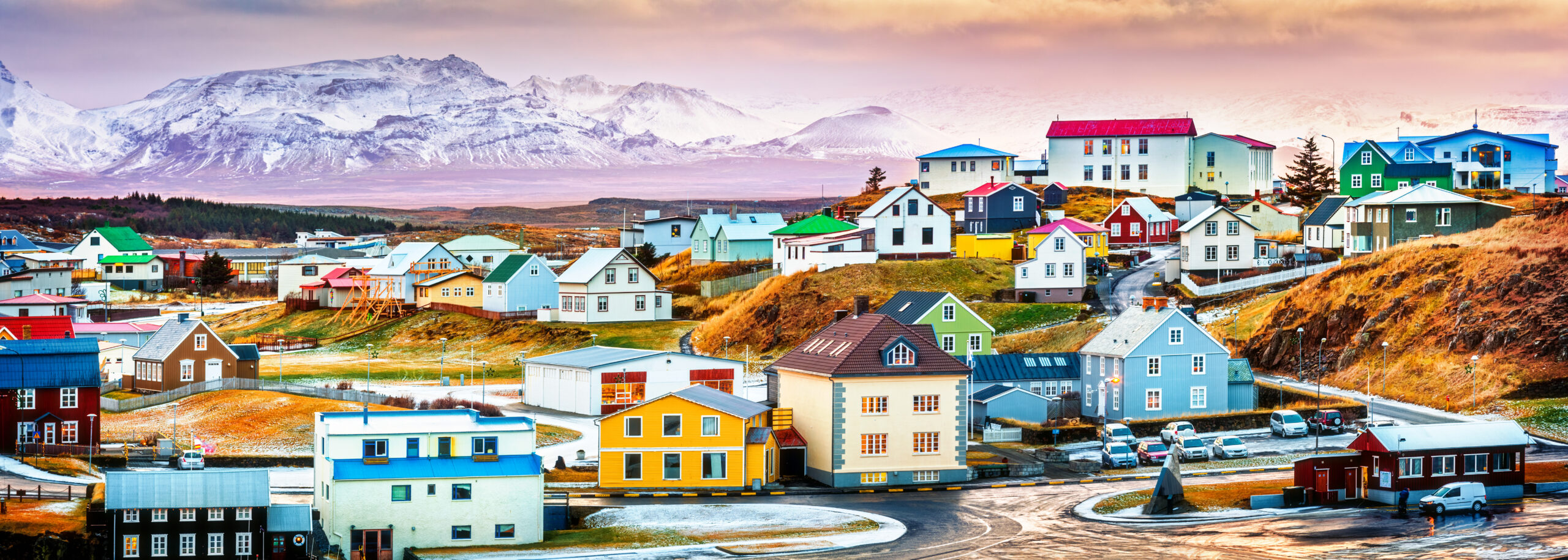
Pack for Exposure to Weather, Not for a Technical Climb.
These are hiking objectives in normal summer conditions. The most useful systems are waterproofing, warmth, footwear, trekking support and navigation. If snow or ice changes a route into technical terrain, equipment alone does not close the skills gap.
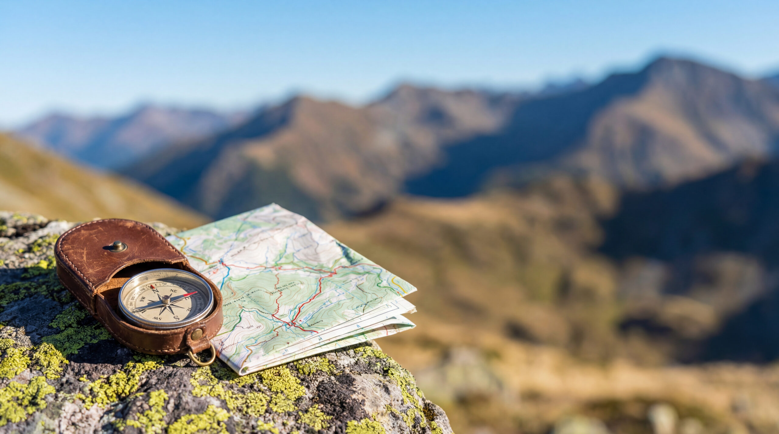
Waterproof shell, proven footwear, warm reserve and offline navigation
- Rain shell: a true waterproof outer layer, not a light windbreaker.
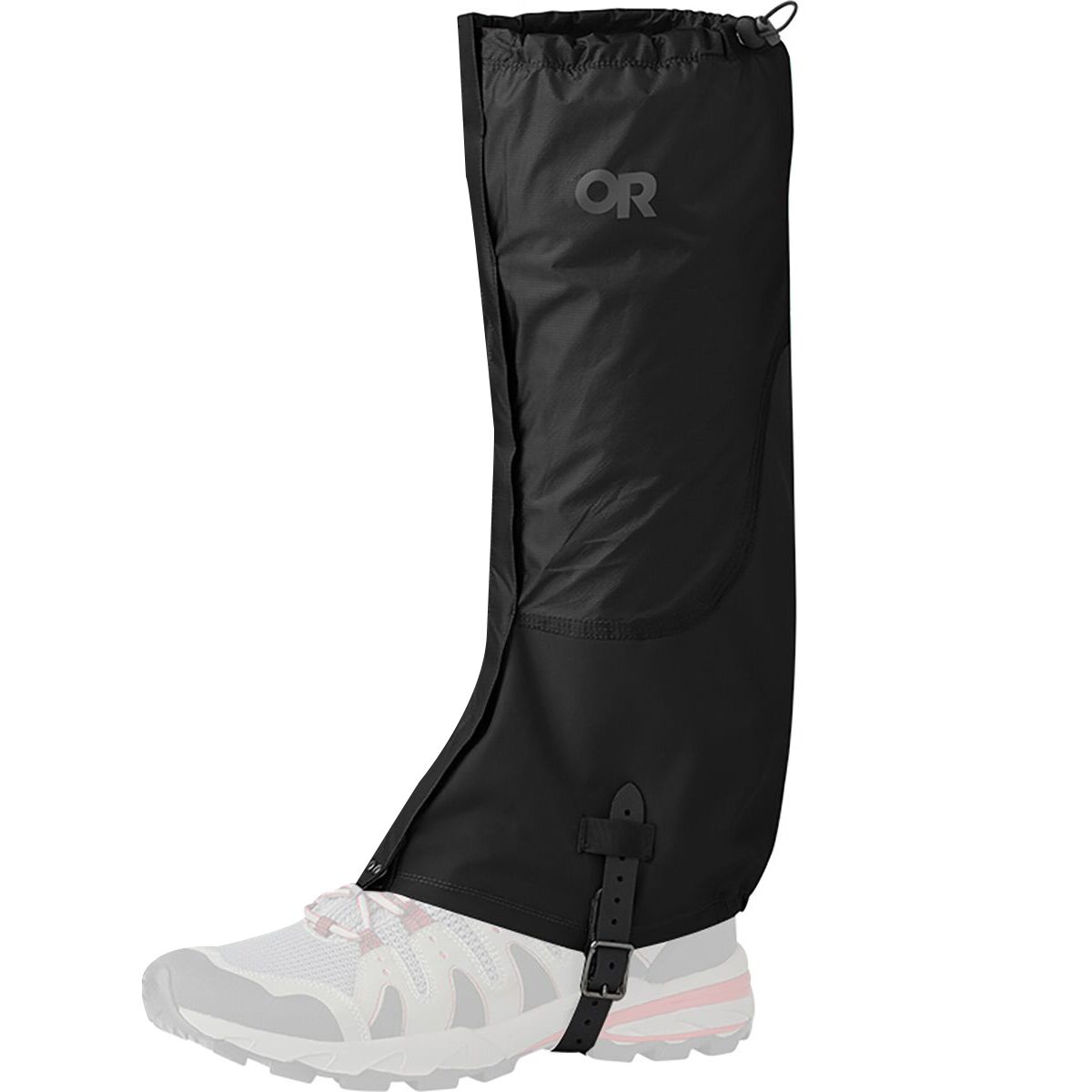
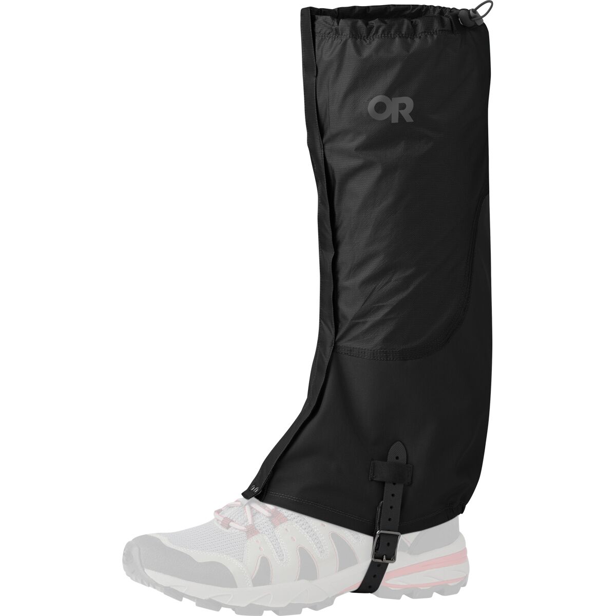
- Waterproof leg protection: exposed rain and wet vegetation make jacket-only systems incomplete.
- Footwear: broken-in hiking boots or trail footwear matched to the exact terrain and pack load.
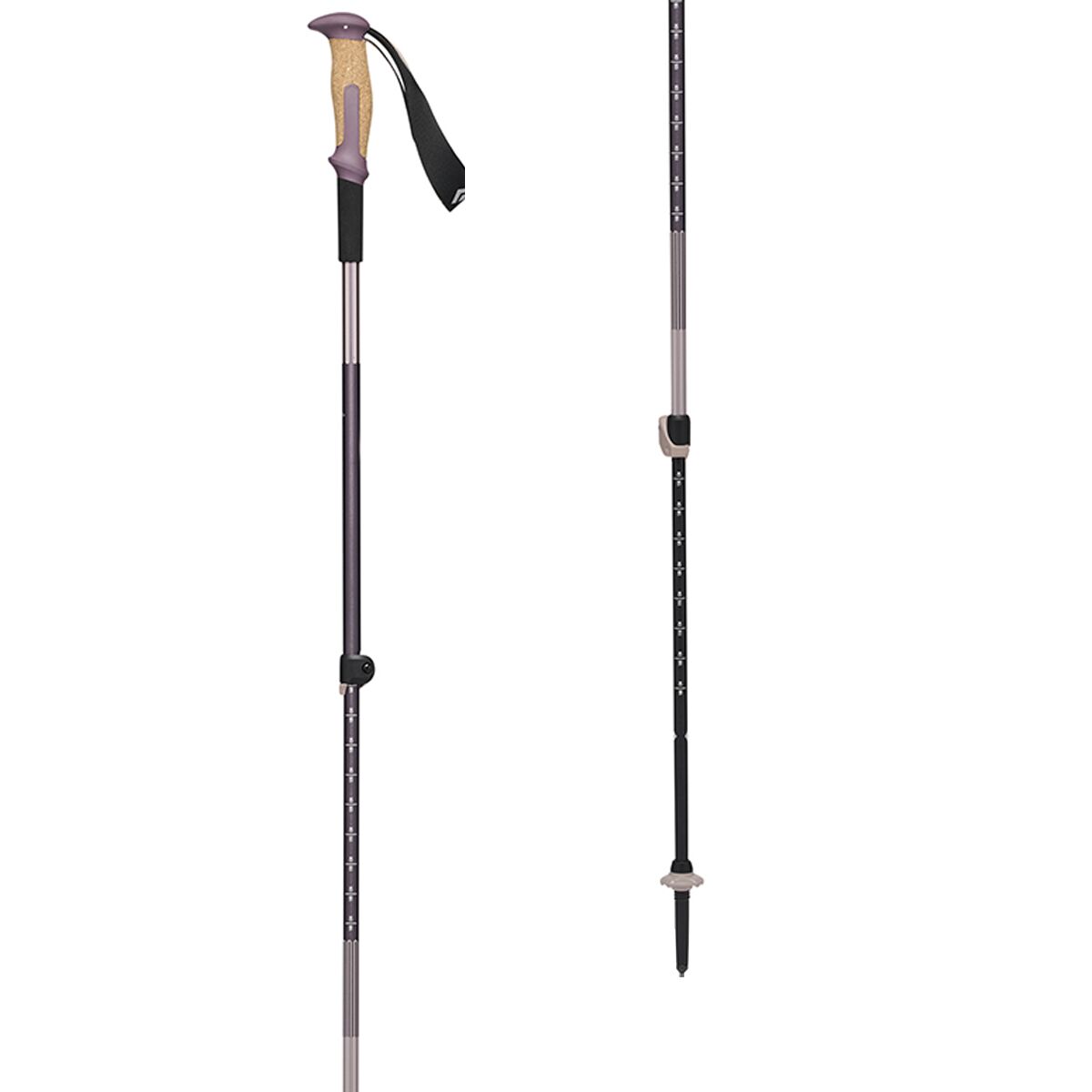
- Trekking poles: useful for long descents and some river decisions when already practiced.
- Warm reserve: hat, gloves and insulation carried even when the trailhead feels mild.
- Navigation and power: offline map, backup power and an independent understanding of the route.
Iceland Hard-Hike Gear
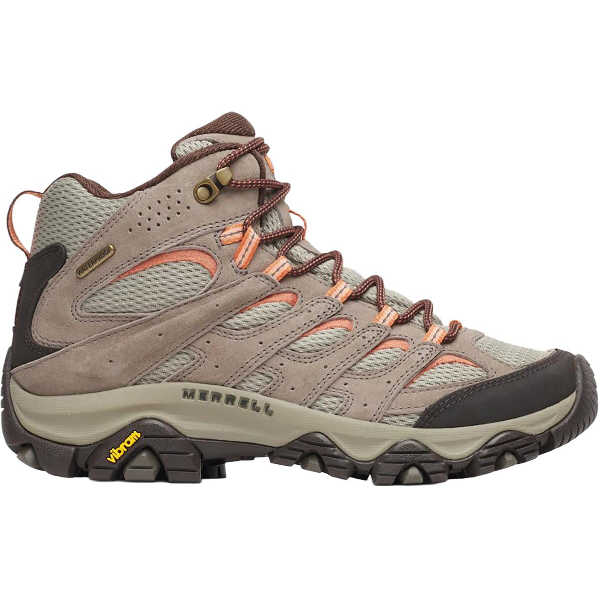
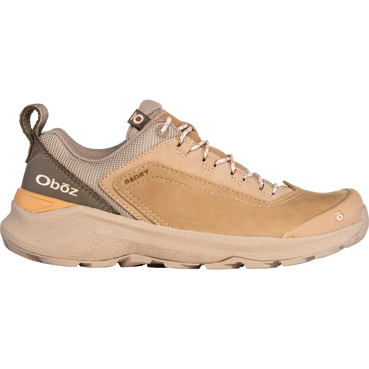
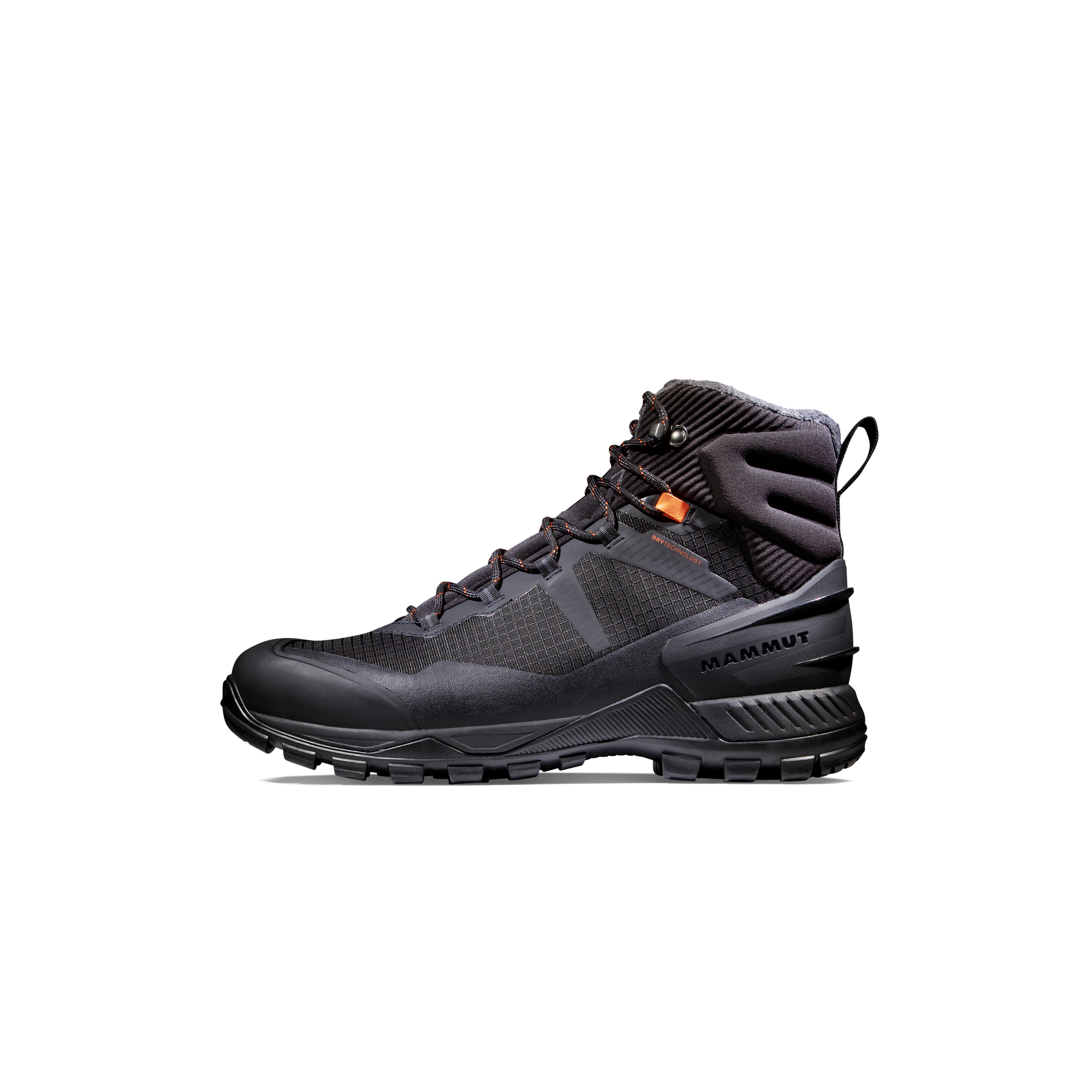
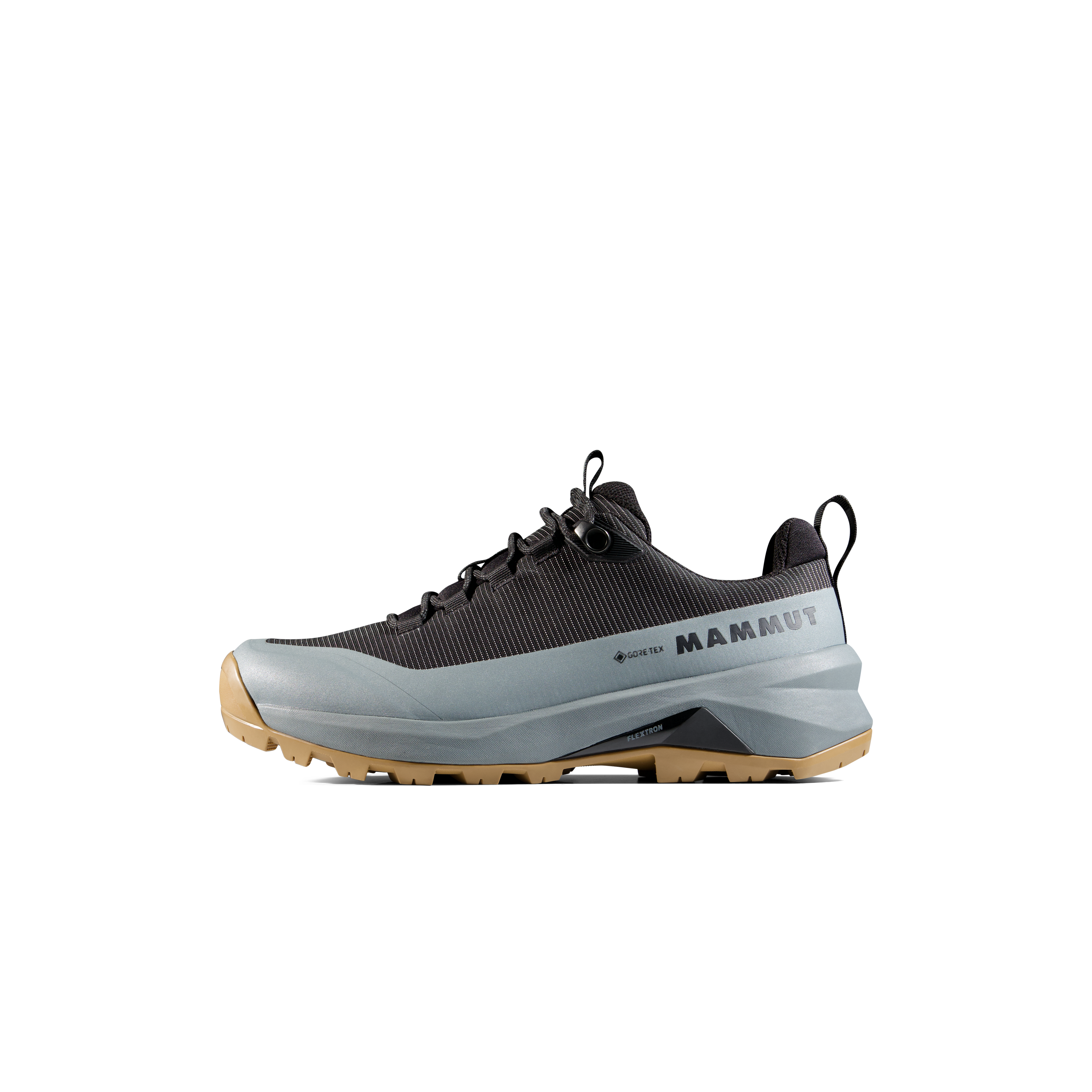
We may earn a commission if you buy through these links, at no extra cost to you. Affiliate disclosure
Cold, Wet and Low-Visibility Essentials
- Outdoor ResearchOutdoor Research Helium Gaiter – Men's$39.48
$78.95Check price at Back Country (opens in a new tab) - Outdoor ResearchOutdoor Research Helium Gaiter – Men'sFrom $43.42
$78.95Check price at Back Country (opens in a new tab)
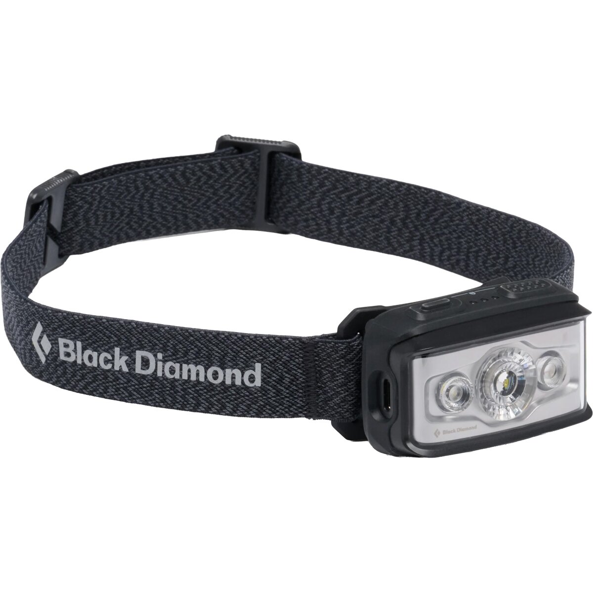

Choose the challenge that matches the trip you can actually support.
Transport, lodging, weather margin and recovery time belong in the difficulty decision. Iceland punishes itineraries that leave no room to change the plan.
Why Glacier Summits Are Not in This Ranking
Calling every Iceland objective a “hike” makes the page less useful. This list stops where ordinary trail hiking ends.
Glacier Mountaineering
Iceland’s highest summit normally involves glacier travel, crevasse exposure and rope-team systems. It belongs in a mountaineering guide, not a hiking comparison.
Ice Changes the Category
A summit outing onto glacier ice is fundamentally different from the coastal and lower mountain trails in Snæfellsnes.
Not Summer Hiking With Spikes
Winter travel can involve severe wind, deep snow, navigation failure and access problems that demand a different skill set and planning model.
Match the Page to the Activity
Use this page for hard hikes and treks. Use mountain and glacier guidance when ropes, crevasses or technical snow travel become normal parts of the objective.
Where to Base Yourself—and What to Book First
The hardest Iceland routes are spread across different access systems. Lodging, transport and weather margin should follow the route family, not the other way around.
Fimmvörðuháls, Laugavegur, Landmannalaugar and Skaftafell
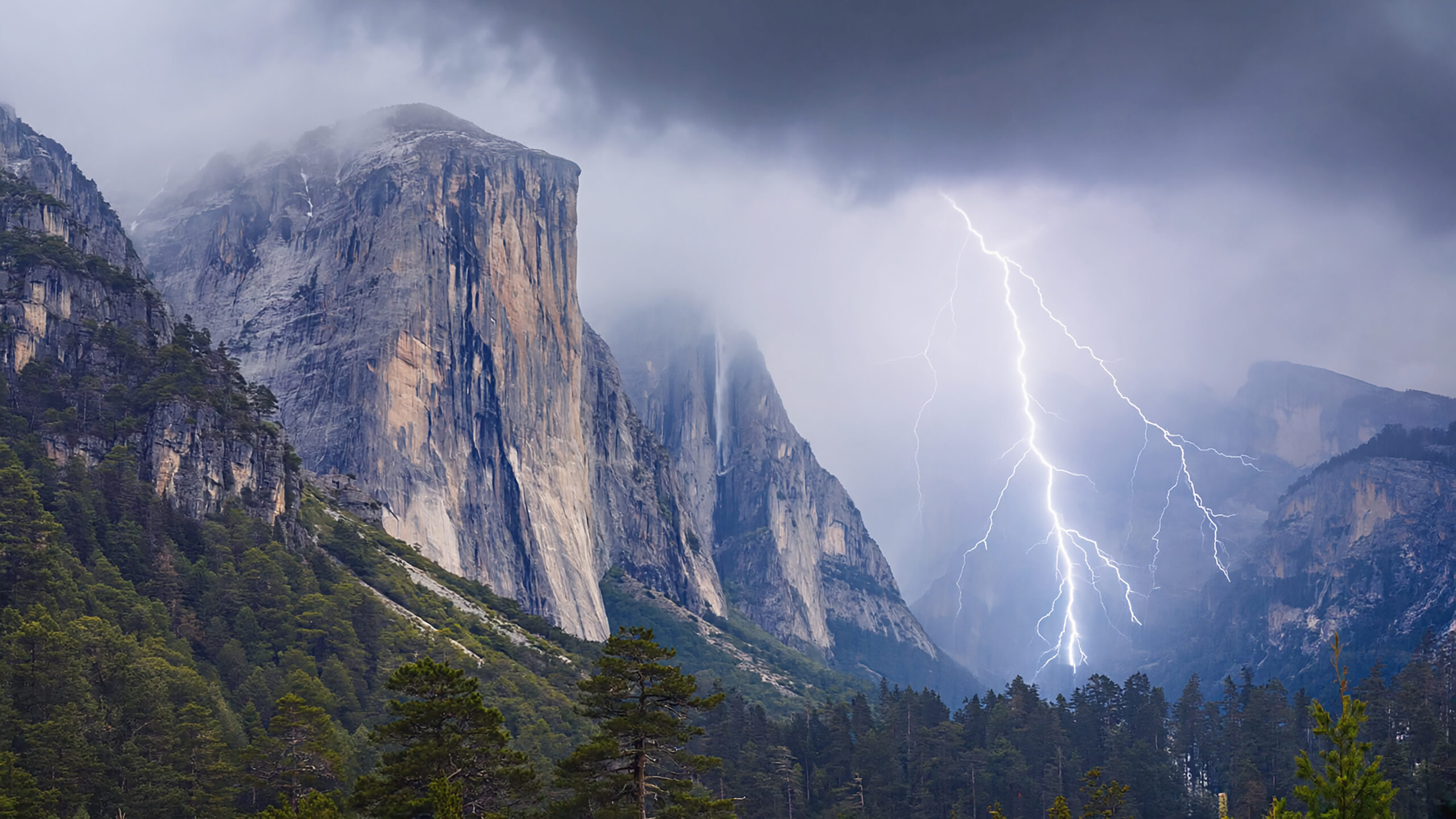
For the South Coast, Vík and the wider southern corridor keep you close to major roads and give you a place to wait out weather. Fimmvörðuháls is point-to-point, so transport between Skógar and Þórsmörk must be solved before hiking. Laugavegur requires its own hut/campsite and bus plan.
Landmannalaugar and other Highland starts add F-road or Highland-bus decisions. Do not use a standard rental car as the default assumption. For Skaftafell and Breiðármörk, stay within practical reach of the southeast trailheads and keep one flexible day when possible.
Build the judgment behind the route choice.
These pages handle skills and planning questions without competing with this page’s Iceland difficulty intent.
Use the Difficulty Page as a Gateway, Not a Duplicate Parent.
Hardest Hikes in Iceland owns the comparison question “which routes demand the most?” The pages below handle broad destination discovery, route logistics, lodging, current-condition snapshots and first-hand winter context.
Recheck the Source That Owns the Next Decision.
Evergreen difficulty comparisons are useful for choosing an objective. Day-of safety and access decisions belong to current official sources.
Ferðafélag Íslands
Fimmvörðuháls route length, elevation, stages, hut information and wider Highland trail logistics.
Open FÍ →SafeTravel Iceland
Current alerts, travel plans and practical safety information. Check immediately before entering remote or exposed terrain.
Open SafeTravel →Visit Westfjords
Official-style Hornstrandir route details including distance, duration, difficulty and route-specific hazards.
Open Hornstrandir route →GSG Iceland Parent
Cross-checked route list for Skaftafell, North Iceland, the Highlands and destination-wide comparison.
Open Iceland hiking hub →Hardest Hikes in Iceland FAQ
Use these answers to choose the right route category, then verify the exact route and conditions before departure.
What is the hardest day hike in Iceland?
In normal summer conditions, Fimmvörðuháls is one of the strongest mainstream candidates. It combines about 25 km of distance, roughly 1,000 m of ascent, a high exposed pass, fast-changing weather and point-to-point logistics. Current warnings and weather always override the normal route description.
Is Laugavegur harder than Fimmvörðuháls?
They are difficult in different ways. Fimmvörðuháls concentrates more ascent, exposure and weather commitment into a long day. Laugavegur spreads approximately 55 km across four classic days and adds pack weight, unbridged river fords, recovery and hut or campsite logistics.
How difficult is hiking in Hornstrandir?
Hornstrandir can be difficult despite moderate-looking mileage because hikers must manage boat access, limited services, river crossings, wind, route-finding and weak or absent mobile coverage in a remote reserve. Individual route difficulty varies widely.
Is Kristínartindar suitable for beginners?
It is better viewed as an experienced-hiker mountain day. The commonly published route is about 17.9 km and six to eight hours, so sustained fitness, mountain-weather judgment and navigation matter.
Do Iceland’s hardest hikes require technical climbing gear?
The routes on this list are hiking objectives in normal summer conditions, not glacier-mountaineering routes. Waterproof layers, warm clothing, reliable footwear, navigation, communication and route-specific river preparation matter more than ropes. Snow or ice can change the required skills completely.
Why is Hvannadalshnúkur not included?
Hvannadalshnúkur normally involves glacier travel and mountaineering hazards. That makes it a mountain objective rather than an ordinary hike, so it is intentionally excluded from this hiking ranking.
When is the best time for difficult hiking in Iceland?
July and August normally offer the widest access to the Highlands and Hornstrandir. Late June and September can work but demand more flexibility because roads, huts, buses, snow and storms become less predictable near the edges of the season.
How should I prepare for a hard hike in Iceland?
Train for sustained hiking with a loaded pack, practice offline navigation, test waterproof layers, understand river-crossing decisions, leave weather margin in the itinerary and check SafeTravel, road and local trail information immediately before departure.
Was this helpful?
Global Summit Guide is an independent mountaineering resource founded in 2026. The team combines first-hand trekking and climbing experience with in-depth research and professional health and nutrition review to help climbers choose objectives, prepare properly, and stay safe.
Health, altitude, and nutrition content is reviewed by Taylor Ludlow (Registered Nurse) and Brigg Hoopes (Nutritionist).
What We Don't Know Yet
Mountain information changes quickly. This box explains the limits of what this page can responsibly promise.
- Route conditions, snowpack, closures, and weather can change quickly after this page is updated.
- Permit rules, fees, quotas, and reservation windows may change between review cycles.
- Operator availability, pricing, guide ratios, and cancellation terms can change by season.
- Your fitness, altitude response, risk tolerance, and experience level may change what is safe or realistic.
- Use this page for planning guidance, then verify current information with official sources and qualified local experts before committing.
Verify current conditions with official land managers, guide services, local forecasts, and current route reports before booking or climbing.
Mountaineering, rock and ice climbing, glacier travel, and high-altitude activity are inherently dangerous and can result in serious injury or death. The information on Global Summit Guide is provided for general informational and educational purposes only and is not a substitute for professional instruction, qualified guiding, proper equipment, or your own judgment and experience.
Route conditions, weather, snowpack, permits, regulations, and hazards change constantly and may differ from what is described here. Details may be incomplete, out of date, or contain errors. Always verify current information with local authorities, certified guides, and official sources before making any decision in the mountains.
Nothing on this site is medical, legal, or financial advice. Our fitness, acclimatization, altitude, and nutrition content is general in nature; consult a qualified physician before beginning any strenuous exercise program or exposing yourself to high altitude.
You are solely responsible for your own safety and decisions. To the fullest extent permitted by law, Global Summit Guide and its team accept no liability for any loss, injury, damage, or expense arising from use of, or reliance on, this information. By using this site you acknowledge these risks and accept these terms.
Some links on this site may be affiliate links. If you buy through them we may earn a small commission at no extra cost to you; this never affects our recommendations.
Global Summit Guide recommendation path
Next Best Mountain to Research
Use these recommendations to continue the right planning path instead of stopping on one page.
Use current permit, weather, route, and operator information before booking or climbing.