
Last updated October 1, 2026

Hardest Hikes in the French Alps: 10 Serious Routes for Strong Hikers
The hardest hiking routes in the French Alps are difficult for very different reasons. GR54 demands nearly two weeks of repeated high passes. Tour du Mont Blanc tests recovery across roughly 170 kilometres. La Jonction climbs more than 1,400 metres in a single Chamonix day. La Tournette adds exposure, ladders and handrails above Lake Annecy. This guide compares endurance, elevation, terrain, exposure and logistics without mixing ordinary hiking with glacier mountaineering.
What Is the Hardest Hike in the French Alps?
For a major long-distance hiking route, GR54 — Tour of Oisans and Écrins is the clearest answer. Écrins National Park describes it as the most difficult of the three great French Alps circuits, with a classic baseline of approximately 184 km, 14 passes and more than 12,800 m of cumulative elevation change.
For a single day, La Jonction above Chamonix is one of the strongest pure endurance tests: 13 km, about 1,433 m of climbing and an eight-hour official round-trip time. La Tournette is the stronger exposure test: 12.5 km, +1,188 m, 6h30 and an official “very hard” rating with ladders and handrails near the summit.
There is no useful single ranking that treats a 13-day trek, an exposed six-hour summit and an eight-hour Chamonix climb as the same challenge. The list below identifies what makes each route hard.
Mont Blanc, the glacier Haute Route and summits requiring glacier travel, ropes, crampons or technical climbing are deliberately excluded. When snow or ice turns one of these hiking routes into terrain requiring those skills, the activity has changed.
Five Different Ways a French Alps Hike Can Be Hard
A route does not need technical climbing to become a serious undertaking.
1,000–1,500 m Days
La Jonction, La Tournette and many GR stages demand large climbs followed by equally punishing descents.
Back-to-Back Recovery
TMB, GR54 and GR58 are difficult because another mountain stage begins the morning after the previous one.
Steep Ground & Assisted Sections
La Tournette’s upper finish adds ladders, handrails and exposed terrain that cannot be measured by mileage alone.
Limited Easy Exits
Écrins stages can place much more terrain between services and road access than a lift-served Chamonix day.
Snow Can Change the Activity
A normal trail in August may become steep snow travel in June. Route difficulty must be judged from actual conditions.
Pack Weight
Ten kilograms carried over repeated 1,000-metre climbs changes the difficulty of an otherwise ordinary hiking trail.

The Hardest Route Here Is Hard Because the Work Never Stops.
GR54 repeatedly drops into deep valleys and climbs back over high passes. The classic numbers matter less than the pattern: climb, descend, recover—and do it again for nearly two weeks.
Photo: Pline / Wikimedia Commons · CC BY-SA 4.010 of the Hardest Hikes in the French Alps
Not an artificial easiest-to-hardest score. Each route earns its place through endurance, vertical gain, exposure, remoteness or accumulated mountain days.
GR54 — Tour of Oisans & Écrins
Écrins National Park calls GR54 the most untamed and most difficult of the three great French Alps long-distance circuits. The classic framework crosses 14 mountain passes and accumulates enormous vertical change through Oisans and the Écrins.
GR5 — Grande Traversée des Alpes
The French Alpine section of GR5 is not one hard summit day—it is a sustained mountain journey. FFRandonnée notes that GTA stages can involve up to roughly 1,300 metres of climbing in a day.
Tour du Mont Blanc
The standard TMB is non-technical in normal summer conditions, but its official organization identifies distance, pack weight and cumulative ascent as the main challenge. A fast seven-day schedule can average roughly 24 km and 1,400 m of ascent each day.
Tour of the Aiguilles Rouges
Chamonix’s four-day circuit packs an extraordinary amount of vertical into a compact route. The official itinerary lists 49.4 km but more than 4,500 m of cumulative ascent.
Tour des Glaciers de la Vanoise
A serious hut-to-hut circuit around the Vanoise glacier system. Route variants change mileage and duration, but typical plans require several consecutive high mountain days through protected national park terrain.
GR58 — Tour du Queyras
The Queyras tourist authority’s original itinerary takes ten stages, with individual days exceeding 1,000 metres of ascent and several passes above 2,500 metres. One published nine-day version averages roughly 1,000 m of climbing per day.
La Jonction des Glaciers
The trail climbs from the Bossons side toward the point between the Bossons and Taconnaz glaciers. Chamonix explicitly warns that the continuation beyond the Pyramides viewpoint is for good walkers.
La Tournette
Lake Annecy Tourism gives the Col de l’Aulp route its highest “very hard” hiking grade. The final ascent includes handrails and ladders and should not be attempted in fog or with persistent snow.
Aiguillette des Houches Circuit
The full Chamonix itinerary climbs through the Carlaveyron Nature Reserve for a 360-degree Mont Blanc panorama before descending toward Bellachat. It is a useful benchmark before committing to the larger multi-day routes.
Chamonix → Refuge de Bellachat
A sustained climb from Chamonix itself rather than a lift-assisted start. The official route gains more than 1,100 metres before the refuge and Mont Blanc panorama.

Non-Technical Does Not Mean Easy.
The TMB is difficult because a strong hiking day becomes ten hiking days. Fitness must include recovery, descending durability and carrying the same pack you will use on the route.
Photo: Ldh98 / Wikimedia Commons · CC BY-SA 3.0French Alps Hard-Hike Comparison
Route variants and conditions can change the numbers. Use these as planning benchmarks rather than navigation data.
| Route | Scale | Primary challenge | Experience needed | Main caution |
|---|---|---|---|---|
| GR54 | ≈184 km · ~12–15 days | Cumulative vertical + remoteness | Experienced long-distance mountain hiker | High passes, snow, weather, recovery |
| GR5 GTA | Multi-week | Duration + logistics | Long-distance trek experience | Resupply and sustained workload |
| Tour du Mont Blanc | ≈170 km · 7–11 days | Back-to-back climbing | Fit regular mountain hiker | Accommodation + early snow |
| Aiguilles Rouges Tour | 49.4 km · 4 days | High vertical density | Strong hut trekker | Ladders, snow, refuge access |
| Vanoise Glacier Tour | 4–7 days | Repeated refuge stages | Multi-day mountain fitness | Protected-area bivouac rules |
| GR58 Queyras | ≈130 km · 9–10 stages | Repeated 1,000 m days | Strong long-distance walker | High passes + lingering snow |
| La Jonction | 13 km · 8 hr | +1,433 m in one day | Strong day hiker | Steep couloirs + high terrain |
| La Tournette | 12.5 km · 6h30 | Exposure + +1,188 m | Confident mountain hiker | Ladders, fog, persistent snow |
| Aiguillette des Houches | 12 km · 5 hr | +1,000 m day | Strong day hiker | Weather + long descent |
| Bellachat | 11.6 km · 5h40 | Continuous ascent | Strong day hiker | Heat, storms and descent fatigue |

A Shorter Trek Can Still Be a Major Alpine Journey.
The Tour des Glaciers de la Vanoise compresses glaciers, staffed refuges, protected landscapes and consecutive pass days into less time than GR54 or TMB.
Photo: Ibex73 / Wikimedia Commons · CC BY 4.0Hardest Multi-Day Treks: What Changes From One to the Next?
“Long trek” describes the calendar. It does not explain what the body actually has to do.
Most Wilderness + Vertical
Choose this when you already know you recover well after major mountain days and want the strongest sustained challenge.
Largest Time Commitment
The challenge expands beyond trail fitness into long-range resupply, accommodation and weeks of consistency.
Hardest to Underestimate
Services make the route look forgiving, but 10,000 metres of ascent remain 10,000 metres of ascent.
Highest Vertical Density
More than 4,500 metres of climbing in only four days creates a very different recovery problem from a leisurely hut trip.
Best Short Major Circuit
Strong choice when you want several serious refuge days but do not have ten to fourteen days available.
Quiet Repetition
The original GR58 stages repeatedly climb 800–1,200+ metres without the international fame of Mont Blanc.

La Tournette Is Where Hiking Difficulty Becomes an Exposure Decision.
The distance is manageable for a strong hiker. The real question is whether steep terrain, ladders, handrails and the summit finish remain inside your personal comfort zone.
Photo: Rémih / Wikimedia Commons · CC BY-SA 4.0Hardest Day Hikes: Choose the Difficulty You Want
These routes are more useful as progression benchmarks when you distinguish vertical from exposure.
La Jonction
13 km, +1,433 m and eight hours. Choose it when sustained climbing and descending are the test you want.
La Tournette
12.5 km, +1,188 m, ladders and handrails near a steep summit finish. The official rating is “very hard.”
Aiguillette des Houches
12 km and 1,000 m of climbing give an excellent test before committing to a full hut circuit.
Bellachat From Chamonix
More than 1,100 m of climbing straight from the valley floor and a long descent back to town.
Lac Blanc
The standard Flégère route is officially difficult, but at roughly 7 km and +500 m it serves better as a progression route toward the bigger days on this page.
Grand Balcon Nord
Officially medium on the standard route. Use it to test high-trail comfort, weather judgment and transport timing before a hard day.
What Matters Most on Hard Alpine Hiking Days?
Hard routes punish small gear problems because a blister, unstable descent or overloaded pack is repeated for more hours—or more days.
Footwear, poles and pack fit matter more than buying “expedition” gear.
Use footwear already proven on long descents, trekking poles if they improve stability and fatigue management, and a pack that remains comfortable late in the day. Glacier equipment is not a substitute for choosing terrain that matches your skills.
Gear for hard Alpine hiking
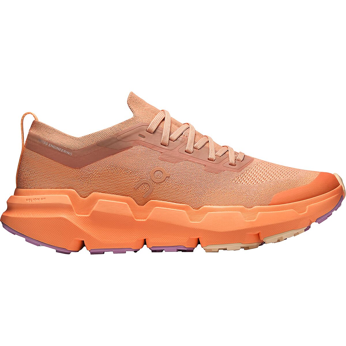
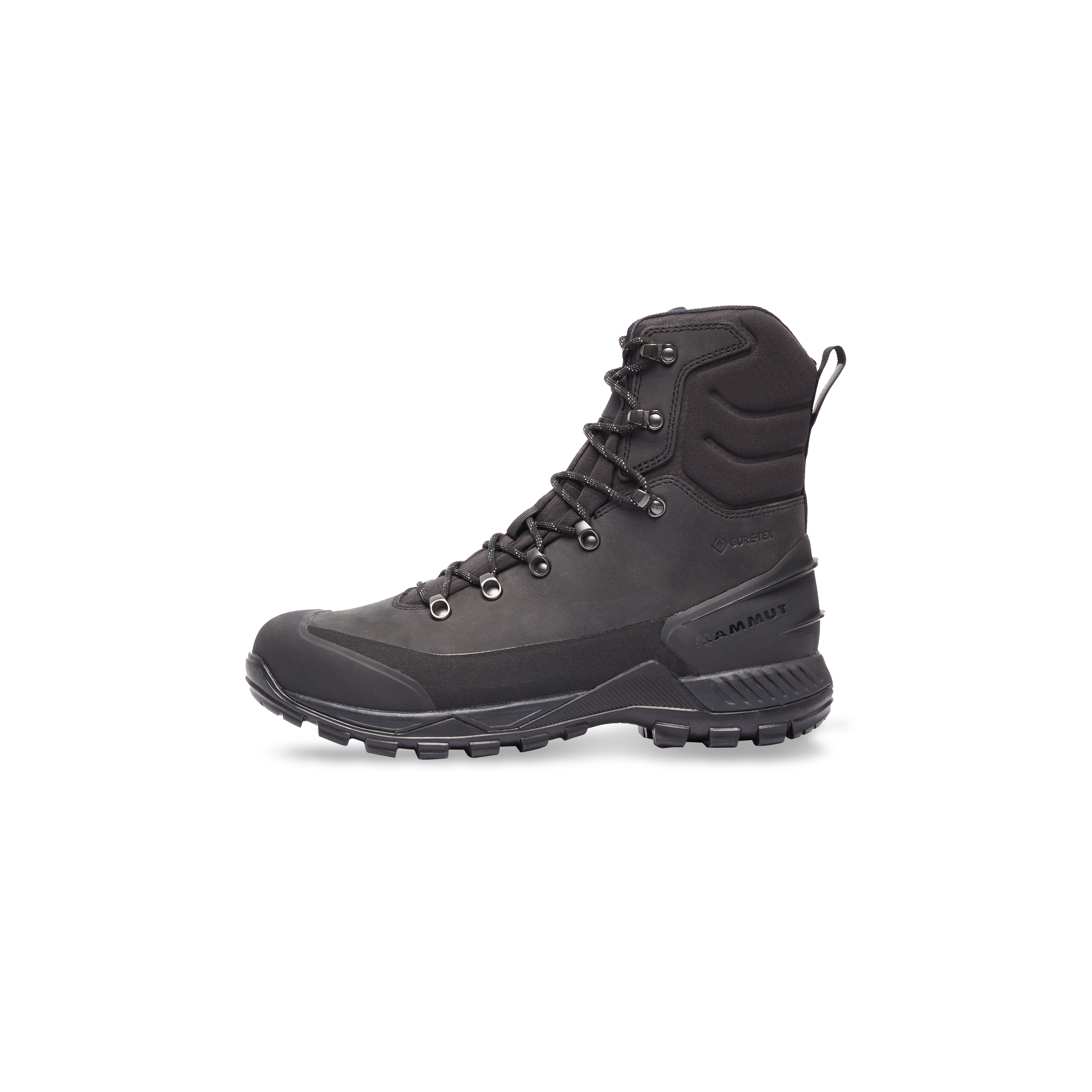
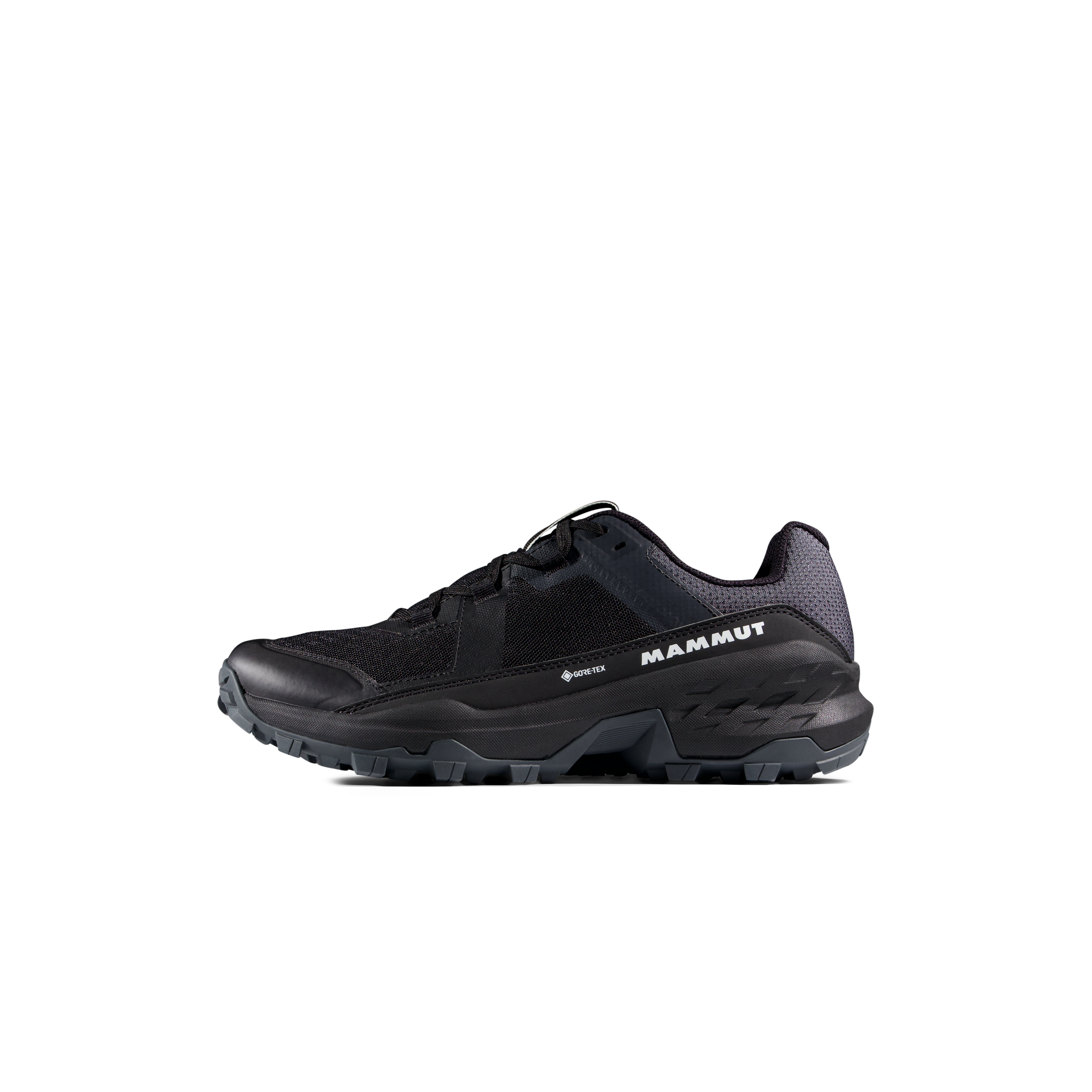
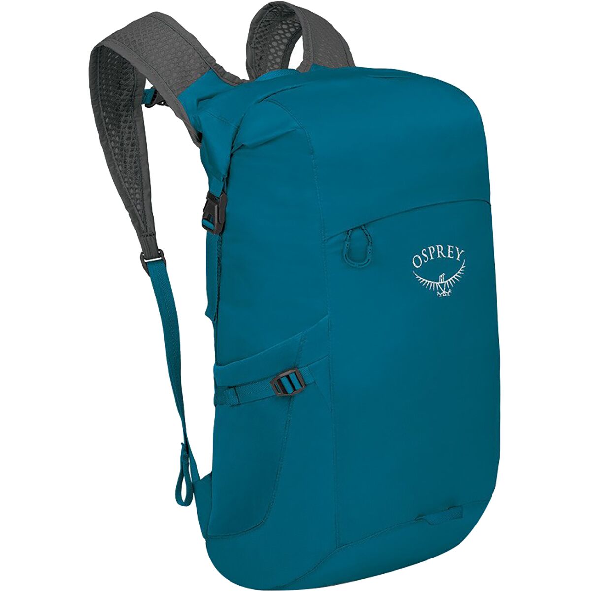
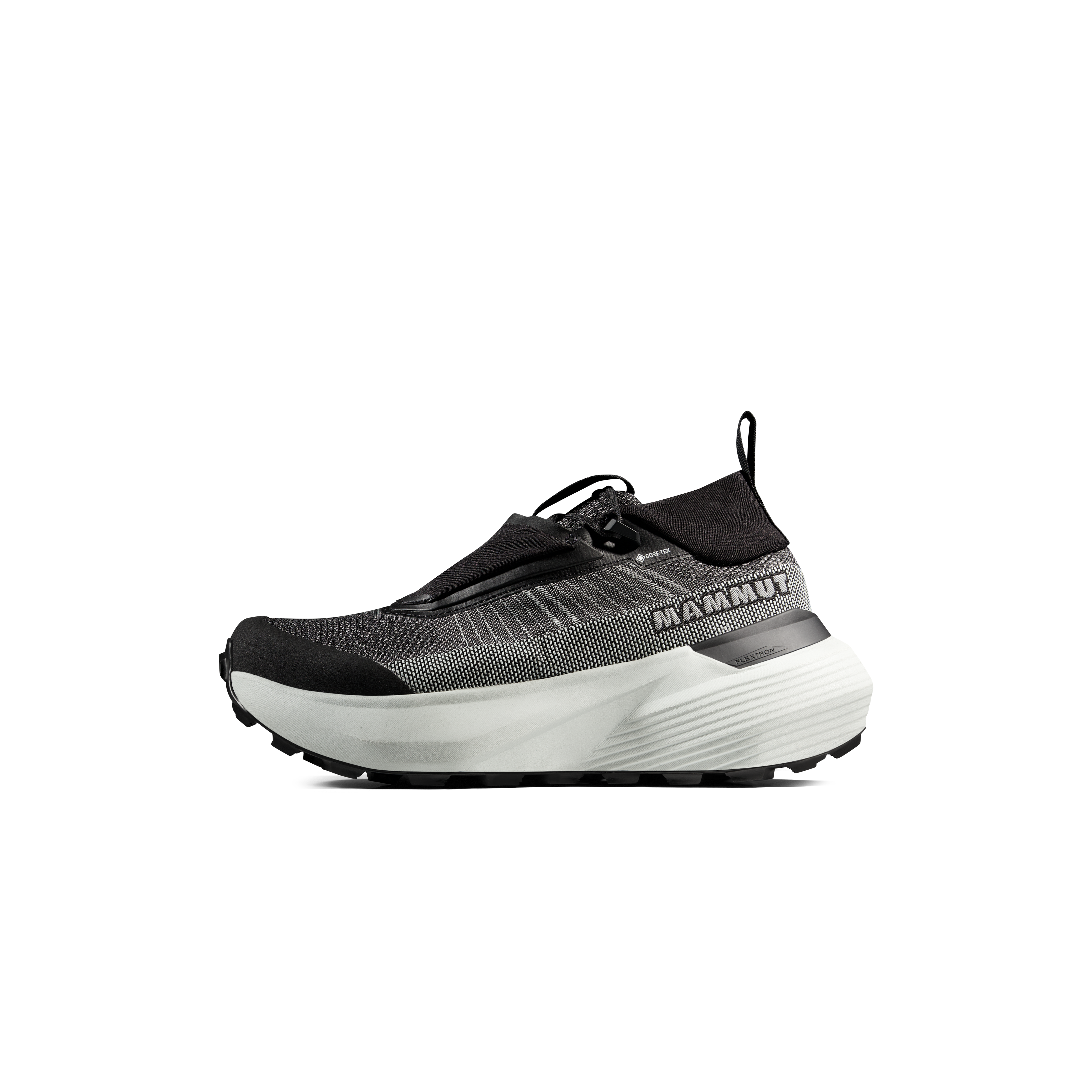
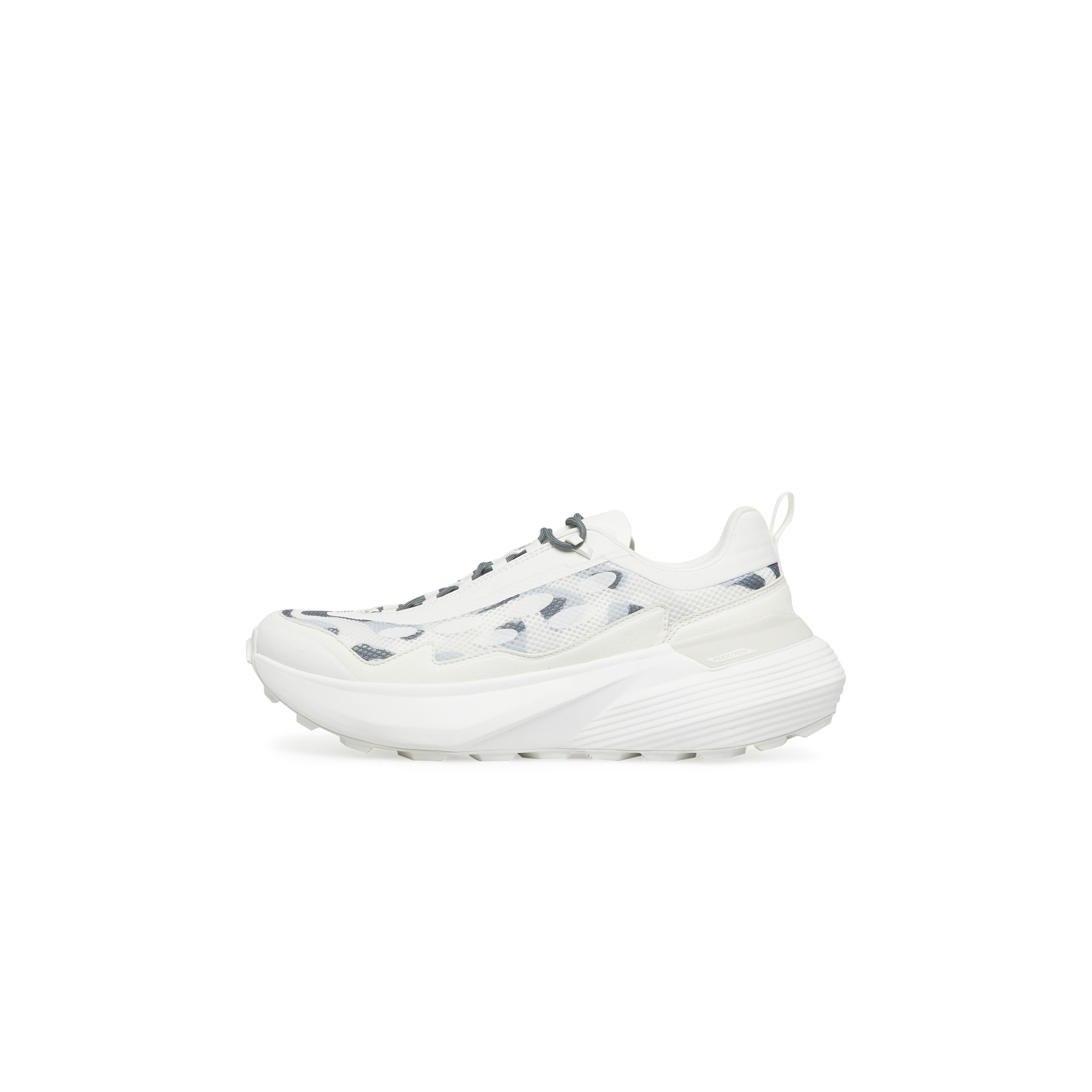
We may earn a commission if you buy through these links, at no extra cost to you. Affiliate disclosure
The products sit beside a genuine gear decision rather than interrupting route descriptions. The shortcode retains the plugin’s normal disclosure behavior.

Quiet Trails Can Still Demand a Thousand Metres of Climbing Before Dinner.
GR58’s villages and gîtes soften the logistics, not the daily vertical. Several official stages exceed 1,000 metres of ascent.
Photo: Pline / Wikimedia Commons · CC BY-SA 4.0Where Hard Hiking Ends and Mountaineering Begins
The French Alps contain many famous objectives that should not be marketed as hiking simply because part of the approach follows a trail.
Mont Blanc Summit
Glaciated Alpine mountaineering. The normal routes involve glacier travel and hazards outside the scope of this page.
Glacier Haute Route
The classic glacier raid from Chamonix to Zermatt crosses glaciers and 3,000-metre passes. It is mountaineering, not an ordinary trek.
Steep Snow
A marked hiking path can become an ice-axe-and-crampon problem while névé remains on steep slopes. Turn around when the required skill set changes.
The route name stays the same. The activity can change overnight.
Fresh snow, old hard névé, freezing temperatures or storm damage can move a summer hiking route outside ordinary hiking conditions. Judge the terrain in front of you—not the label on the web page.
Best Season for the Hardest French Alps Hikes
High passes can retain snow after the valleys are green, and autumn snow can close the hiking season abruptly.
| Period | Hard-route reality | Best approach |
|---|---|---|
| May–early June | Many high routes still carry snow | Use lower training hikes instead of forcing the objective |
| Mid–late June | Major trekking season begins unevenly | Check every high pass and refuge independently |
| July | Broad high-route access | Start long days early; manage heat and storms |
| August | Usually broadest summer access | Expect crowds on TMB and popular Chamonix routes |
| September | Excellent hiking but cooler and shorter days | Carry more insulation and verify refuge/lift closing dates |
| October onward | Snow and freeze-thaw increasingly redefine high routes | Treat summer descriptions as unreliable without current checks |
Écrins says its hiking trails are generally usable from roughly mid-June through late September but warns that bridges, snow and storm damage vary by year. La Tournette’s official listing limits the normal route to favorable snow and weather conditions.
Hard French Alps Hiking Map
Chamonix, Écrins, Vanoise, Queyras and Annecy are separate hiking systems. Trying to base every hard hike from one town creates more driving than useful recovery.
A Better Progression Toward the Hardest Routes
One large day is not proof that the body is ready for ten consecutive large days.
Grand Balcon Nord
Learn high-trail weather and transport logistics without a giant vertical day.
Lac Blanc
Add sustained climbing and descending on an officially difficult Chamonix route.
Aiguillette des Houches
Complete a roughly 1,000-metre climbing day and evaluate recovery.
La Jonction or La Tournette
Test either major vertical or exposure according to the route you intend to pursue.
Four-Day Hut Circuit
Use Aiguilles Rouges or Vanoise to discover whether the body actually recovers overnight.
TMB → GR54
TMB is the stronger first major circuit. GR54 becomes logical after repeated pass days no longer feel experimental.
Sources Used to Define “Hard”
Official park and tourism figures take priority over generic hiking roundups.
Snow, storm damage, bridge installation, refuge opening, lift schedules and local closures should be checked again immediately before the hike.
Hardest French Alps Hikes FAQ
The most important distinctions before choosing a genuinely difficult Alpine hiking objective.
What is the hardest long-distance hike in the French Alps?
GR54 is the clearest candidate. Écrins National Park describes it as the most difficult of the three great French Alps circuits and gives a classic baseline of about 184 km, 14 passes and more than 12,800 metres of cumulative elevation change.
What is the hardest day hike in Chamonix?
La Jonction is one of the strongest official candidates: 13 km, 1,433 metres of ascent and an estimated eight-hour round trip.
Is La Tournette harder than La Jonction?
They are hard in different ways. La Jonction has more vertical gain and a longer official time, while La Tournette adds more exposure, ladders and handrails near the summit.
Is Tour du Mont Blanc technically difficult?
The standard summer TMB generally does not require mountaineering equipment. Its main challenge is roughly 170 km and close to 10,000 metres of cumulative ascent over consecutive days.
Is GR54 harder than Tour du Mont Blanc?
GR54 generally presents the stronger wilderness and cumulative challenge, with more remote terrain and a classic route involving 14 passes and more than 12,800 metres of elevation change.
What is a good training hike before GR54 or TMB?
Aiguillette des Houches provides a useful one-day benchmark at roughly 12 km and 1,000 metres of ascent. The next training step is several consecutive mountain days rather than simply making one day harder.
When is the best season for hard hiking in the French Alps?
July through September usually provides the broadest high-route access. Late June can work on many routes, but lingering snow must be checked individually.
Does La Tournette require climbing equipment?
The normal summer hiking route uses fixed handrails and ladders near the summit but is published as a hiking itinerary. Persistent snow, ice or other adverse conditions can change the skills required.
Is Mont Blanc one of the hardest hikes in France?
Mont Blanc should not be categorized as a hike. Its standard summit routes are glaciated mountaineering objectives and belong in a separate climbing guide.
What is the hardest four-day trek near Chamonix?
The Tour of the Aiguilles Rouges is a strong candidate. Chamonix’s published four-day itinerary totals about 49.4 km and more than 4,500 metres of ascent.
The Hardest Route Should Be the One You Are Prepared to Finish Well.
Build from one 1,000-metre day to consecutive 1,000-metre days. Learn whether exposure or endurance is your limiting factor. Complete a shorter hut circuit before assuming ten mountain days will feel like ten copies of one mountain day. Then choose TMB, GR58, Vanoise or GR54 because its challenge matches your preparation—not because its name sounds hardest.
Was this helpful?
🏔Related peaks nearby
🧭Explore & compare
Global Summit Guide is an independent mountaineering resource founded in 2026. The team combines first-hand trekking and climbing experience with in-depth research and professional health and nutrition review to help climbers choose objectives, prepare properly, and stay safe.
Health, altitude, and nutrition content is reviewed by Taylor Ludlow (Registered Nurse) and Brigg Hoopes (Nutritionist).
What We Don't Know Yet
Mountain information changes quickly. This box explains the limits of what this page can responsibly promise.
- Route conditions, trailhead access, crevasse exposure, stream crossings, and rescue access may vary from published planning guidance.
- Visa, passport, vaccination, border, insurance, and local transportation rules may change before your trip.
- Route conditions, snowpack, closures, and weather can change quickly after this page is updated.
- Permit rules, fees, quotas, and reservation windows may change between review cycles.
- Operator availability, pricing, guide ratios, and cancellation terms can change by season.
Verify current conditions with official land managers, guide services, local forecasts, and current route reports before booking or climbing.
Mountaineering, rock and ice climbing, glacier travel, and high-altitude activity are inherently dangerous and can result in serious injury or death. The information on Global Summit Guide is provided for general informational and educational purposes only and is not a substitute for professional instruction, qualified guiding, proper equipment, or your own judgment and experience.
Route conditions, weather, snowpack, permits, regulations, and hazards change constantly and may differ from what is described here. Details may be incomplete, out of date, or contain errors. Always verify current information with local authorities, certified guides, and official sources before making any decision in the mountains.
Nothing on this site is medical, legal, or financial advice. Our fitness, acclimatization, altitude, and nutrition content is general in nature; consult a qualified physician before beginning any strenuous exercise program or exposing yourself to high altitude.
You are solely responsible for your own safety and decisions. To the fullest extent permitted by law, Global Summit Guide and its team accept no liability for any loss, injury, damage, or expense arising from use of, or reliance on, this information. By using this site you acknowledge these risks and accept these terms.
Some links on this site may be affiliate links. If you buy through them we may earn a small commission at no extra cost to you; this never affects our recommendations.
Global Summit Guide recommendation path
Next Best Mountain to Research
Use these recommendations to continue the right planning path instead of stopping on one page.
Use current permit, weather, route, and operator information before booking or climbing.