Last updated October 12, 2026

Acatenango Volcano Hike: Above the Clouds, Facing Fuego.
Everything to know before hiking Acatenango from Antigua: the overnight trail, summit difficulty, camps, costs, cold-weather gear, legal access and the volcanic risks that can change your entire plan.
Photo: Bex Walton ·Wikimedia Commons ·CC BY 4.0
Acatenango Is One of Central America’s Most Memorable Overnight Hikes—When Legal Access Is Confirmed.
Our verdict: For fit hikers with the right equipment, the classic Acatenango overnight trek offers an unusual combination: a demanding high-altitude ascent, camp above the clouds, a sunrise summit and a possible view of eruptions on nearby Volcán de Fuego.
The price of that experience is a steep climb on loose volcanic terrain, a potentially freezing night above 3,000 meters and a meaningful volcano-risk exposure. The summit is not technically complex in ordinary conditions, but the physical effort is substantial.
Who should consider it? Strong hikers comfortable with steep ascents, overnight camping and altitude. Beginners without hiking fitness, travelers with inadequate clothing, and anyone expecting a casual sunset walk should choose a different objective.
Know the Climb Before You Book.
Antigua Guatemala
Most guided trips begin in Antigua and travel by vehicle toward the La Soledad trailhead.
Steep Elevation Gain
The sustained uphill effort, soft volcanic surfaces and high camp are harder than the distance alone suggests.
November–April
Usually the drier part of the year, but clear skies, legal access and eruption visibility are never guaranteed.
Is Acatenango Open Right Now?
Access Is Conditional. Confirm the Official Authorization for Your Date.
In August 2026, Guatemala’s disaster authority CONRED reported that police were restricting Acatenango tourist ascents during an intensified eruption of Volcán de Fuego. Municipal reports subsequently described reopening approved Acatenango routes under safety conditions, while later reporting continued to mention precautionary restrictions.
We cannot independently certify that your intended departure is currently authorized. Ask your operator for confirmation that the specific route, campsite and entry point are authorized for the departure date. Check the municipality, CONRED and INSIVUMEH before travel and again immediately before the hike.
Fuego-side excursion: The municipality prohibited ascent of Fuego through Parque Regional Municipal Astillero de Acatenango in April 2026. Do not treat an operator’s advertised “Fuego add-on” as evidence it is legal.
CONRED
Check eruption response, restrictions, evacuation guidance and emergency statements.
Official CONRED website →INSIVUMEH
Review the latest Fuego volcano bulletins, ash reports, weather warnings and volcanic activity.
Volcanic bulletins →Acatenango Park
Review municipal park rules, admission procedures and any new access instructions.
Municipal admission site →Do not make a nonrefundable commitment based only on an operator accepting a reservation. Get written confirmation of the applicable closure/refund policy and the status of the authorized trail. An eruption, ash event, severe weather or emergency closure must override your itinerary.
Start in Antigua, Not at the Summit.
Antigua Guatemala is the logical base for most visitors. Its location near the volcanic highlands makes it convenient for departure briefings, outfitting, luggage storage and returning for a shower and recovery after the climb.
The common walking route begins near Aldea La Soledad, reached by road from Antigua. Organized tours normally include transfer arrangements, but pickup location and timing depend on the operator.
Plan to arrive in Antigua at least a day before departure when possible. Use that time to check the official volcano bulletin, collect any rental clothing and confirm your park-entry arrangements.
Travel sequence: Guatemala City airport → Antigua → operator check-in → La Soledad → Acatenango camp → summit attempt → return to Antigua.

Acatenango Overnight Hike: Two Days, One Big Climb.
This is an illustrative itinerary for an authorized standard Acatenango trek—not a current access guarantee. The sequence, camp height and summit schedule vary by operator and conditions.
Day 1 · Antigua to La Soledad
Check in with your guide, confirm access, distribute equipment and travel to the approved trailhead. Complete the required park-entry process.
Day 1 · Climb Through the Forest
Begin on agricultural land and climb through changing forest and volcanic terrain. Expect sustained steep walking, frequent breaks and a slower pace as altitude increases.
Day 1 · Reach Base Camp
Arrive at the operator’s permitted campsite, commonly between roughly 3,400 and 3,750 meters. Rest, change into dry layers, eat and prepare for the cold.
Night · Observe From Authorized Areas
On clear nights, Fuego may be visible from designated safe viewing locations. No eruptions or visibility are promised. Stay within the areas your guide confirms are legally open.
Day 2 · Optional Sunrise Summit
When weather, route conditions, health and legal access allow, groups often begin before dawn for the final steep ascent to Acatenango’s summit.
Day 2 · Descend to Antigua
Descend loose volcanic slopes to the trailhead and return by organized vehicle. Allow flexibility rather than committing to an immediate flight or long onward transfer.

A four-to-seven-hour ascent can be harder than many longer low-altitude hikes. Soft volcanic soil increases effort, overnight rest may be poor, and the summit push begins when the body is cold and tired. A successful hike does not require reaching the highest point or witnessing an eruption.
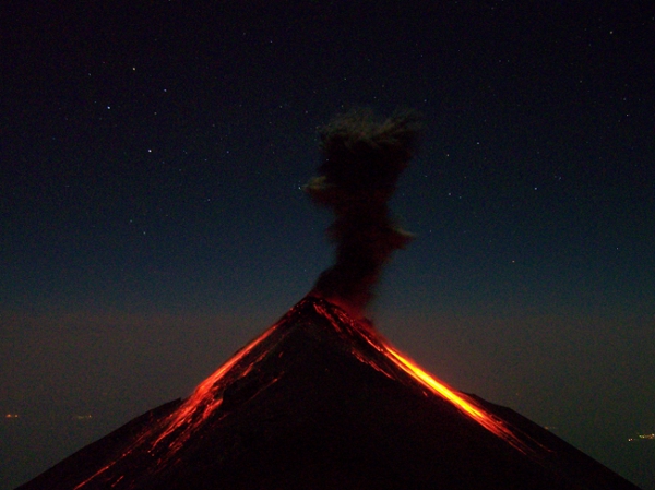
The Reason People Come Is Fuego. The Reason Plans Change Is Also Fuego.
Nighttime incandescence can be unforgettable, but explosive activity is a hazard—not a scheduled attraction. A safe, permitted viewing point is fundamentally different from approaching the active cone.
Historical photograph: Kevin Sebold ·Wikimedia Commons · CC BY-SA 3.0.
How Hard Is the Acatenango Hike?
Strenuous. For most visitors, steep elevation gain and altitude—not technical mountaineering—are the principal challenges. Volcanic and weather hazards add another risk dimension entirely.
High
Plan for several hours of steep climbing, often on unstable or soft ground. Be prepared to hike carrying water, spare clothing, food and potentially part of your overnight equipment.
Usually Low
The conventional approved trekking route is typically a walk in ordinary conditions, rather than a roped technical climb. Slippery surfaces and severe weather can change that assessment.
Significant
Cold, wind, cloud, low visibility, altitude and active-volcano hazards make good judgment and an authorized guide essential.
Who Is This Hike a Good Match For?
Experienced, Fit Hikers
- Comfortable climbing steep hills for four or more hours.
- Used to hiking with a loaded daypack.
- Able to manage a cold overnight camp.
- Prepared to turn around without reaching the summit.
- Willing to follow restrictions even if others ignore them.
Not the Best First Big Hike
- Little recent hiking or endurance training.
- Equipment unsuited to freezing conditions.
- Very limited time with no weather flexibility.
- Concern about altitude response or respiratory exposure.
- Expectation of guaranteed eruptions, views or a summit.
Altitude illness can occur even in fit people. Acclimatization, conservative pacing and prompt response to symptoms matter. A guide should have a clear plan for descent and emergencies.

Is the Sunrise Summit Worth the Extra Effort?
For a strong, well-acclimatized hiker in clear and legally accessible conditions, the sunrise summit can be a remarkable part of the trip. It provides a broad view of Guatemala’s volcanic highlands and sometimes a clear perspective toward Fuego.
Yet camp may already provide the experience you came for. Some hikers are exhausted or unwell after the first day’s climb, and a summit attempt adds extra steep terrain at a cold hour.
Our recommendation: Treat the summit as conditional, not mandatory. Decide with your guide using the actual weather, health and volcano bulletin. A safe overnight stay below the summit is still a complete experience.
How Much Does the Acatenango Overnight Trek Cost?
As an October 2026 planning reference, standard overnight tour listings commonly fall around US$85–150 per person, with substantial differences in camp facilities, rentals and porter service. These are market examples, not guaranteed current booking prices.
OX Expeditions
OX publicly lists Acatenango overnight choices at approximately $109–119 per person, depending on the accommodation model. This is a price reference rather than an independent ranking or safety endorsement.
Q100 Foreign Admission
The municipality’s official admission website lists a Q100 foreign-visitor rate and describes its payment and wristband procedure. Check whether the tour handles payment or requires you to complete it separately.
| Expense | Planning guidance | What to verify |
|---|---|---|
| Guided overnight tour | About $85–150 is a useful standard-market reference | Departure date, permitted route, guide, camp, meals, gear and refund policy |
| Municipal admission | Q100 for foreign visitors on the official municipal site | Whether included and the current official payment process |
| Rental layers and equipment | Variable | Jacket, gloves, headlamp, pack, sleeping bag, pole rental |
| Porter service | Extra where offered | Weight allowance, whether one-way or round-trip, and exact price |
| Guide gratuities | Discretionary | Company guidance and local payment method |
| Antigua accommodation | Depends on hotel and travel dates | Pre-hike night and recovery night, plus luggage storage |
| Insurance / contingency | Policy- and trip-dependent | High-altitude hiking, medical care, evacuation and cancellation terms |
Do Not Pay for a Prohibited Fuego Extension.
Some commercial listings still advertise walking closer to Fuego. Advertising alone does not override the April 2026 municipal restriction on access via the Acatenango park. Require written confirmation of current authorization from the relevant authority for any route outside approved Acatenango trails; otherwise decline the add-on.
Third-party listings may be outdated or contain restricted excursions. Confirm legality and availability before making a booking. Global Summit Guide receives no payment for editorial placement on this page.
Compare the Camp and Safety Plan, Not Just the Lowest Price.
Is the Route Legally Open?
Ask for the exact authorized route and campsite, the official access-check process and what happens if the municipality closes access before or during your tour.
What Will You Sleep In?
Operators offer different tents, shared cabins and sleeping arrangements. Ask for actual camp altitude, mattress, sleeping bag, cold-weather rating and occupancy.
Who Makes the Turnaround Call?
Confirm guide-to-client ratio, communication equipment, altitude-illness procedures, emergency descent routes and coordination with local responders.
What Is Included?
Compare required clothing, headlamps, rain protection, gloves, poles, sleeping gear and the weight you personally carry uphill.
What Is the Real Total?
Obtain a written list of admission fees, rental charges, porter costs, meals, cancellation terms and any upgrade fees.
Are Guides Treated Fairly?
Ask about guide wages, weather decisions, group sizes, local community benefits, waste handling and campsite practices.
Named tour companies are included as examples of available service models, not an independently scored operator ranking. No operator pays to improve its editorial evaluation on Global Summit Guide.
Pack for a Cold Mountain, Not Warm Antigua.
One of Acatenango’s most consequential surprises is the temperature difference between Antigua and a high volcanic camp. Strong winds, rain, exposed terrain and pre-dawn conditions demand more than ordinary travel clothes.
Essential Packing Checklist
- Broken-in hiking shoes or boots with dependable traction.
- Warm base layer, insulating midlayer and substantial outer jacket.
- Waterproof or weather-resistant shell.
- Warm hat, gloves and spare dry socks.
- Headlamp with working batteries.
- Sufficient drinking water for the operator’s itinerary.
- Food/snacks beyond included meals if needed.
- Trekking poles for soft volcanic slopes.
- Sun protection, sunglasses and lip protection.
- Sleeping equipment appropriate for the specific campsite.
- Personal medication and any required travel documents.
Check the operator’s lending inventory before buying gear. Your actual list depends on whether you sleep in a tent or cabin, what the guide provides and the forecast.
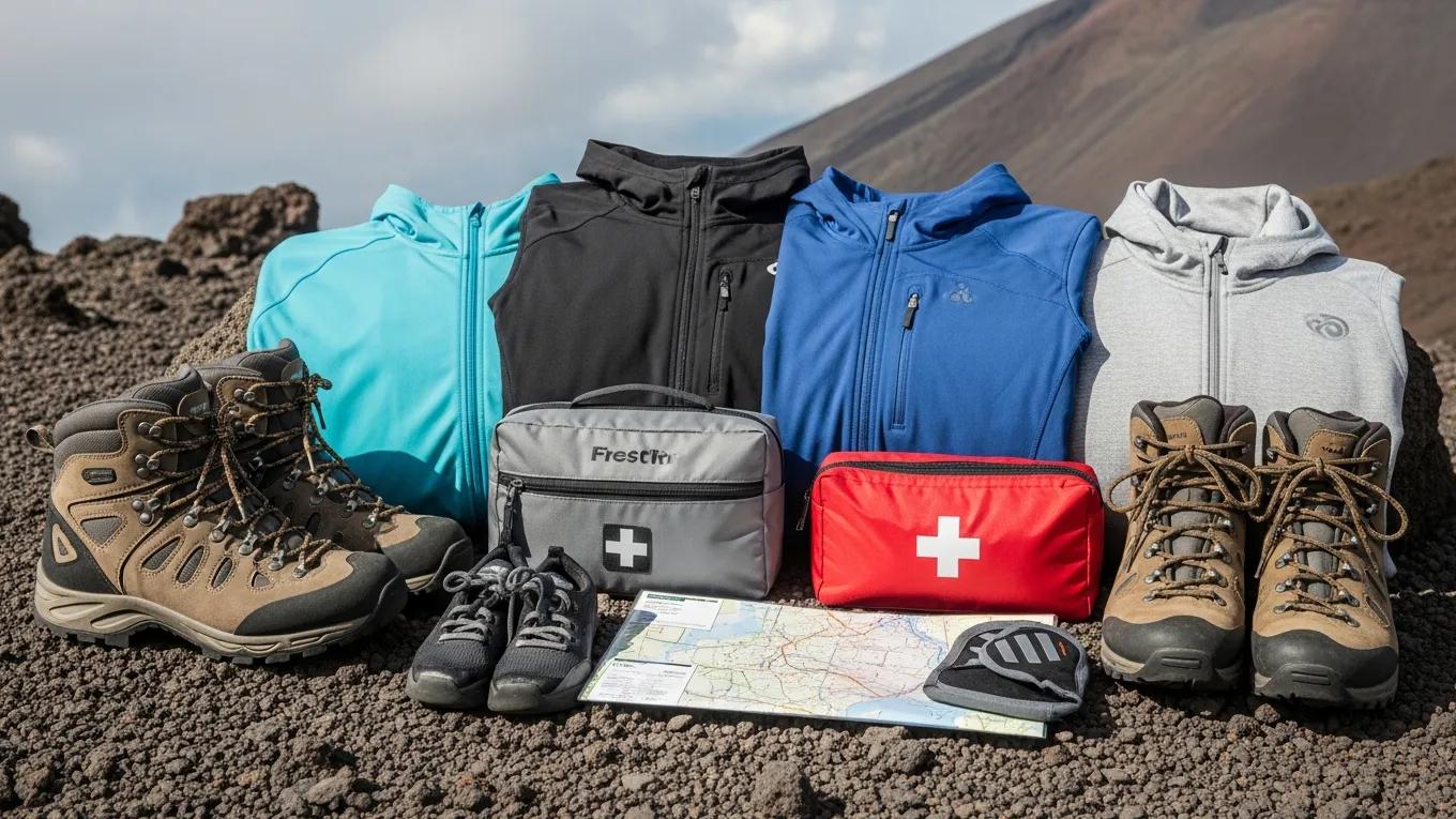
Global Summit Guide may earn a commission from qualifying purchases. Advertising does not affect trail guidance or editorial recommendations.
Fuego Is an Active Volcano. Treat That as the Main Safety Reality.
Acatenango is a trekking destination, but its proximity to Volcán de Fuego creates risks far beyond ordinary hiking difficulty.
Ash and Ejecta
Fuego can release ash clouds, hot fragments and explosive material. Forecasts and observations are not guarantees about what happens next.
Pyroclastic Flows
Fast-moving mixtures of hot gas, ash and rock can be fatal. Never approach restricted drainages, slopes or Fuego viewing areas.
Cold, Wind and Visibility
High camps can be bitterly cold. Cloud, rain, lightning, slippery slopes and darkness can turn a demanding hike into an emergency.
Follow official evacuation directions and your authorized guide’s instructions. Do not remain at a viewpoint to photograph an eruption or cross a closed boundary because others are doing so. Guatemala’s CONRED emergency contact is 119.
Best Time to Hike Acatenango
For weather planning, the drier period from November through April usually provides the stronger odds of clear skies. That general advantage does not guarantee volcanic safety, trail access or visible eruptions.
| Season | Likely advantages | Trade-offs | Planning advice |
|---|---|---|---|
| November–February | Often clearer skies and drier trail conditions | Cold nights and strong high-elevation wind | Prioritize cold-weather gear and backup dates |
| March–April | Often favorable trekking weather | Heat lower down, exposure and possible haze | Carry enough water and verify volcano alerts |
| May–October | Lush lower slopes and potential cloudscapes | More rain, mud, storms and restricted visibility | Require a flexible itinerary and conservative guide judgment |
Weather, volcanic activity and legal access are three different questions. A perfect blue-sky forecast does not cancel an eruption warning. An operator’s available booking calendar does not prove legal entry. A legally open trail can still be inappropriate for your fitness or forecast.

What If Acatenango Is Closed?
The strongest fallback is not to find an unauthorized back entrance. It is to choose a legally open alternative or rearrange the itinerary.
Guatemala’s volcanic landscape includes Pacaya, Agua, Tajumulco and other objectives with very different altitude, trail character and regulations. A lower-altitude volcano walk may suit a visitor who cannot commit to a cold overnight hike.
Check each destination separately: restrictions at Acatenango and Fuego do not automatically describe conditions at every other volcano.
The broader Central America hiking cluster also includes Cerro Chirripó, Volcán Barú, Ometepe and rainforest trails if your itinerary is more flexible.
Where Is Acatenango?
Acatenango lies in Guatemala’s volcanic highlands southwest of Antigua. Most commercial trips use the La Soledad approach. The map below shows regional position only, not an authorized hiking track.
Orientation only. Do not use a generic internet map to bypass park boundaries, restrictions or guide instructions.
Antigua → La Soledad → Camp → Summit
Antigua: Most common accommodation and operator departure point.
La Soledad: Common access area and official-entry checkpoint.
Upper slopes: Forest gives way to exposed volcanic terrain and steep, loose surfaces.
Camp: Operator-managed and location-specific. Camp altitude varies.
Summit: Optional and conditional on weather, health and authorized access.
Fuego: Separate active volcanic cone. Do not interpret its presence on a map as permission to approach it.
Open regional map →The Acatenango Planning Checklist
Work through these steps in order. They reduce the chance of committing to the wrong route, incomplete equipment or an unauthorized excursion.
Before Booking
- Confirm legal access to the intended trail and camp.
- Review the current CONRED and INSIVUMEH statements.
- Choose an authorized local guiding operator.
- Understand the cancellation and closure policy.
- Compare the actual sleeping arrangements and equipment inclusions.
- Confirm the municipality’s current payment procedure.
Before Walking
- Check the volcano bulletin again.
- Inspect footwear, outer layers and warm sleeping gear.
- Clarify your water supply and pack weight.
- Review guide communications and emergency procedures.
- Tell someone your itinerary and planned return.
- Agree that safety and legality take precedence over the summit.
Acatenango Trek FAQ
How difficult is the Acatenango hike?
Strenuous. The standard hike involves roughly 1,500 meters of total ascent from the usual trailhead to the summit, steep terrain and a cold overnight stay. Fitness, altitude response and conditions are important.
Is Acatenango open in October 2026?
Access cannot be assumed. August 2026 eruption restrictions were followed by reports of limited reopening of approved routes, but access reports have not always been consistent. Confirm the exact trail and campsite with the municipality, CONRED and an authorized guide before departure.
Is the Fuego add-on hike allowed?
The municipality prohibited ascent of Fuego through the Acatenango municipal park in April 2026. An operator advertising the excursion does not establish legal authorization. Do not enter prohibited areas.
How high is Acatenango?
Approximately 3,976 meters or 13,045 feet above sea level.
Can a beginner hike Acatenango?
A fit beginner with substantial hill-walking preparation may be physically capable of an authorized guided trek, but it is a poor first strenuous hike for someone without recent endurance training or suitable equipment.
How long does an Acatenango overnight hike take?
The common format is two calendar days with one night at high camp. First-day climbing frequently takes about four to seven hours, depending on the chosen campsite, pace and trail conditions.
How much does Acatenango cost?
Standard advertised overnight tours commonly fall around US$85–150 per person in 2026 references. Additional admission, rental, porter and personal travel costs may apply. Obtain a current written quote.
What is the official Acatenango entrance fee?
The municipal administration website lists Q100 for foreign visitors. Follow its current payment, identity-document and wristband procedures, and confirm whether your operator pays the fee on your behalf.
Can I see Fuego erupt at night?
Potentially, from legally authorized and safe viewpoints when visibility and volcanic activity allow. Eruptions, lava glow and clear views are never guaranteed. The same volcanic activity can require closures or evacuation.
Is the overnight hike better than a day hike?
For visitors prioritizing camp and night views, an authorized overnight hike is generally more rewarding. A day hike avoids sleeping at altitude but compresses the physical effort and does not eliminate volcanic or weather hazards.
When is the best season for Acatenango?
November through April usually offers drier conditions, though cold, wind and changing volcanic alerts remain important all year.
Do I need a guide for Acatenango?
The August 2026 reopening framework described access to approved routes through authorized operations. Confirm the current municipal requirements. Do not assume independent entry is permissible.
Sources and What We Have Not Verified
This is a desk-researched planning guide, not a claim of firsthand experience with any particular operator or an official real-time trail-status service.
Primary Authorities
We have not independently confirmed the real-time operating status of every approved route, specific campsite authorization, a departure-level guide roster or actual future tour availability. These matters change and should be verified directly. Commercial listings may continue to advertise excursions subject to official restrictions.
Research date: October 12, 2026. Historic volcano photographs show past conditions, not the current eruption level. Wikimedia images are individually attributed and licensed; some are cropped for responsive presentation.
What Should You Research Next?
Best Hikes in Central America
Compare Acatenango with Corcovado, Chirripó, Volcán Barú, Ometepe and other regional trails.
Explore Central America →Global Hiking Database
Explore the wider trail system and identify another objective when weather or volcano access changes.
Explore Hiking Database →Weather and Gear
Prepare for cold high-altitude camps, changing mountain weather and the physical demands of a summit day.
Mountain Weather →
The Right Acatenango Experience Starts With the Right Decision.
Choose an authorized route, prepare for the altitude and cold, compare what your guide actually provides, and treat Fuego’s activity as a hazard that can change the plan. With those decisions made well, the volcano landscape can be extraordinary.
Background photo: Kevin Sebold ·Source · CC BY-SA 3.0.
Acatenango Volcano: Overnight Trek, Fuego Views & Current Access
Planning Guatemala’s iconic volcano trek? Our dedicated guide covers the two-day itinerary, difficulty, costs, high-altitude camping, gear and important 2026 restrictions.
Read the Complete Acatenango Guide →Explore Hiking Footwear for Volcano Treks
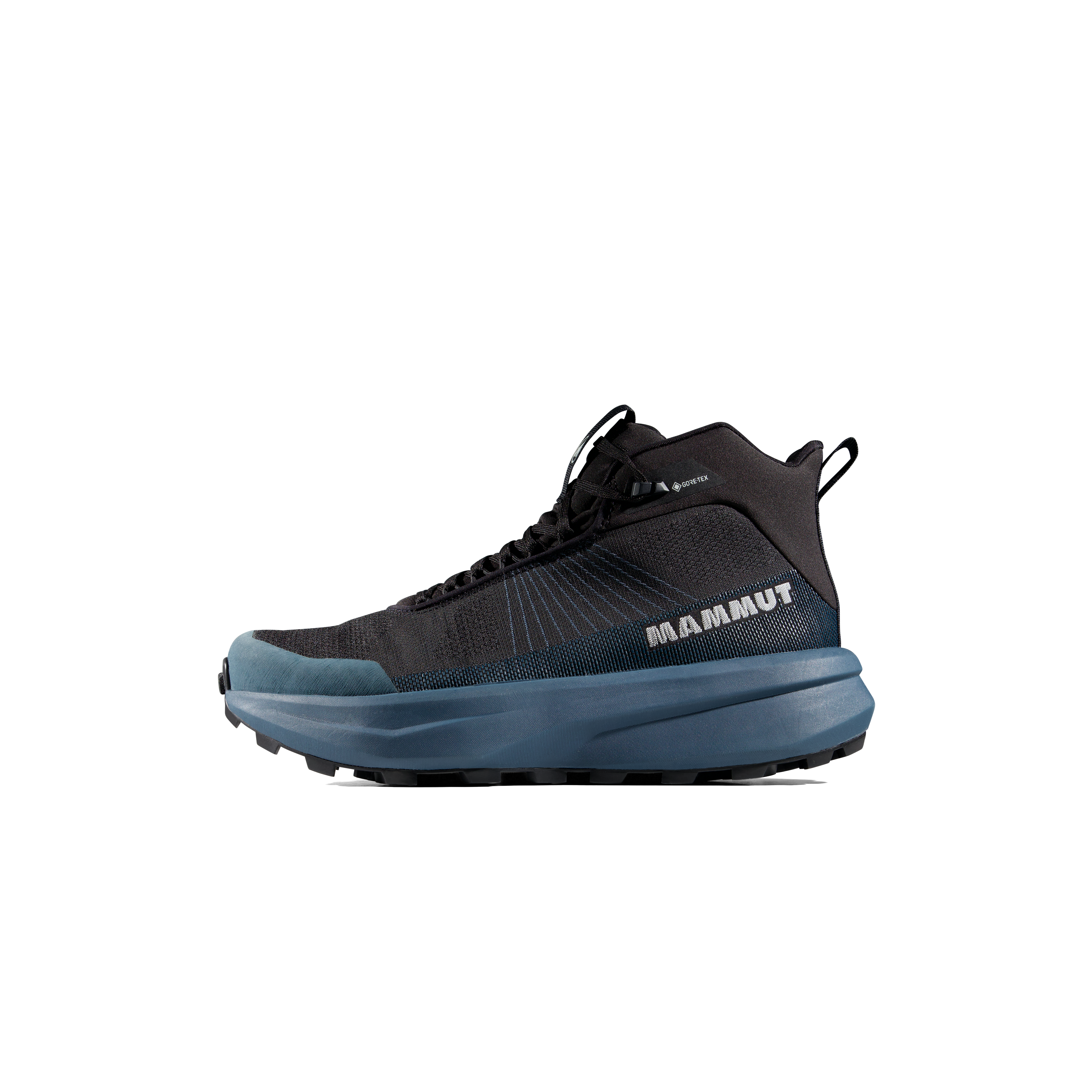
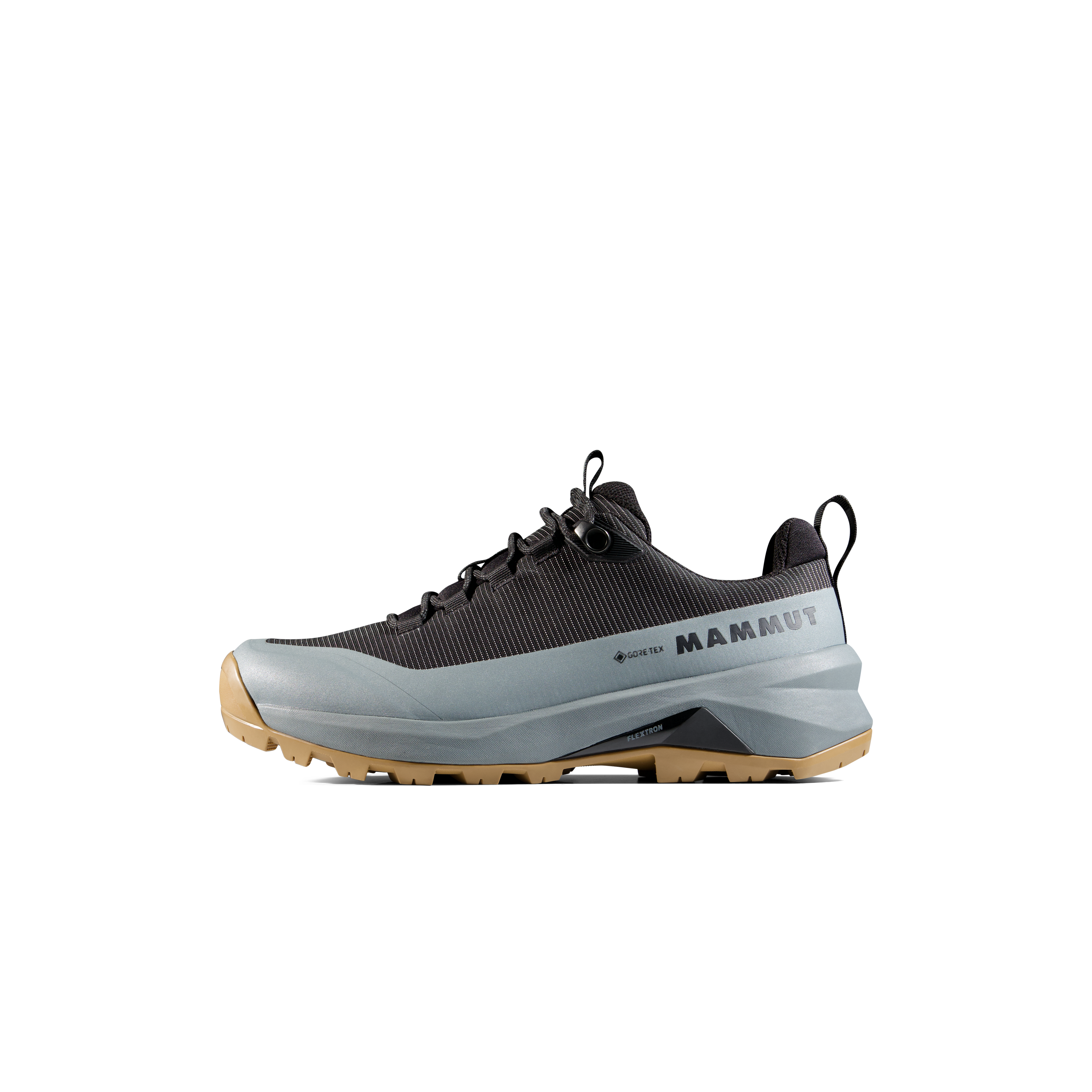
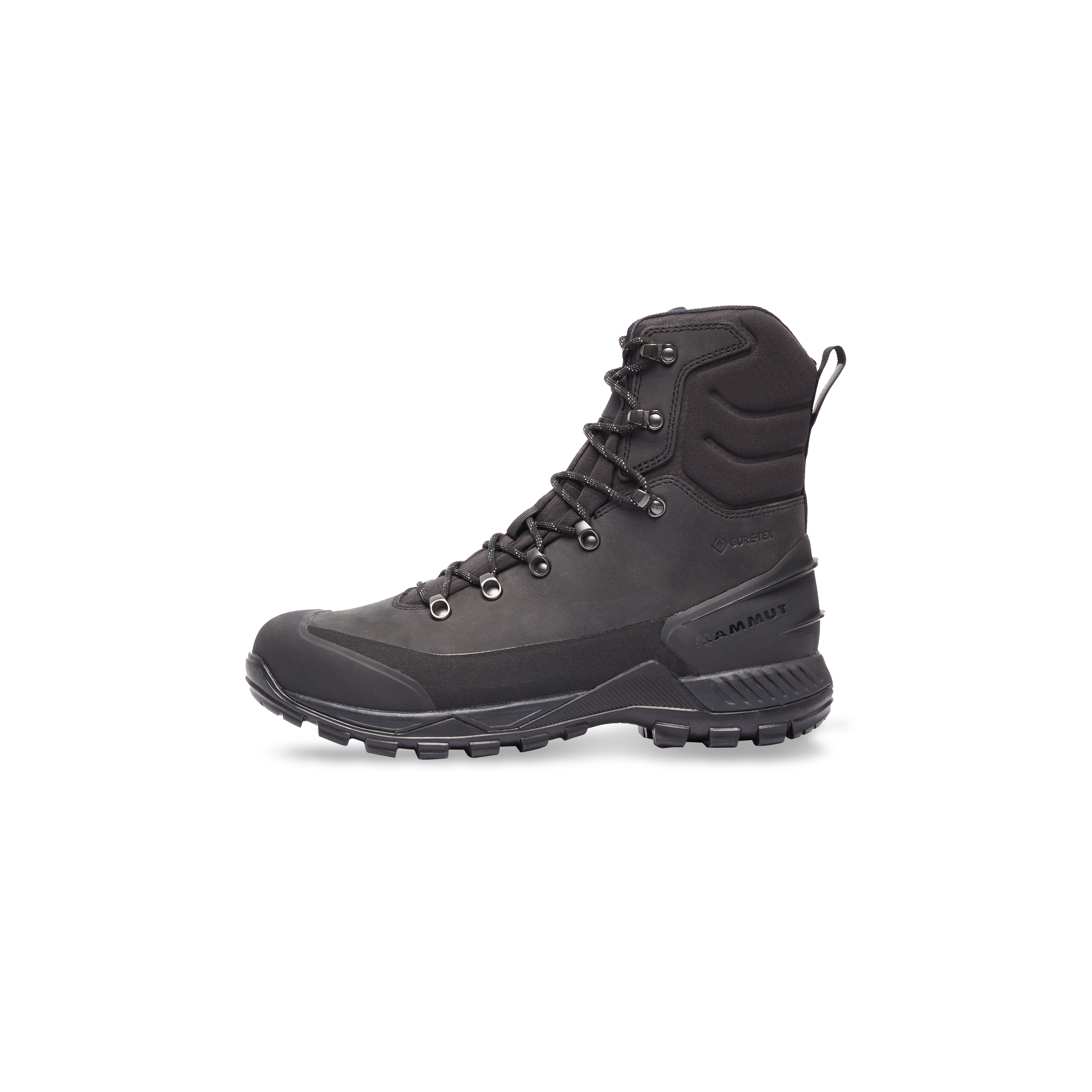
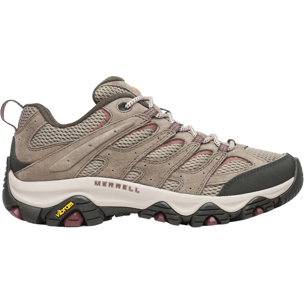
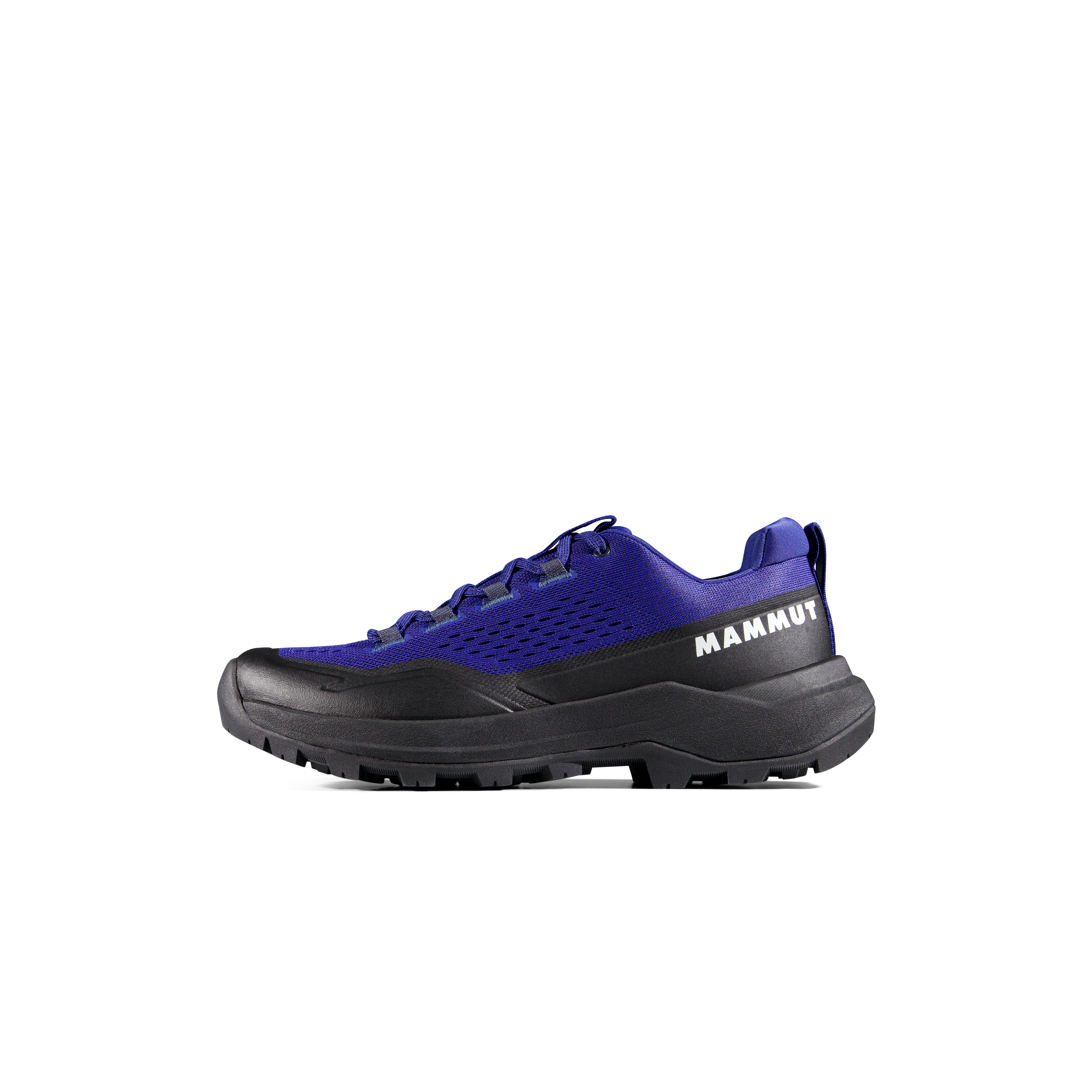
We may earn a commission if you buy through these links, at no extra cost to you. Affiliate disclosure
Was this helpful?
🏔Related peaks nearby
🧭Explore & compare
Global Summit Guide is an independent mountaineering resource founded in 2026. The team combines first-hand trekking and climbing experience with in-depth research and professional health and nutrition review to help climbers choose objectives, prepare properly, and stay safe.
Health, altitude, and nutrition content is reviewed by Taylor Ludlow (Registered Nurse) and Brigg Hoopes (Nutritionist).
What We Don't Know Yet
Mountain information changes quickly. This box explains the limits of what this page can responsibly promise.
- Visa, passport, vaccination, border, insurance, and local transportation rules may change before your trip.
- Route conditions, snowpack, closures, and weather can change quickly after this page is updated.
- Permit rules, fees, quotas, and reservation windows may change between review cycles.
- Operator availability, pricing, guide ratios, and cancellation terms can change by season.
- Your fitness, altitude response, risk tolerance, and experience level may change what is safe or realistic.
Verify current conditions with official land managers, guide services, local forecasts, and current route reports before booking or climbing.
Mountaineering, rock and ice climbing, glacier travel, and high-altitude activity are inherently dangerous and can result in serious injury or death. The information on Global Summit Guide is provided for general informational and educational purposes only and is not a substitute for professional instruction, qualified guiding, proper equipment, or your own judgment and experience.
Route conditions, weather, snowpack, permits, regulations, and hazards change constantly and may differ from what is described here. Details may be incomplete, out of date, or contain errors. Always verify current information with local authorities, certified guides, and official sources before making any decision in the mountains.
Nothing on this site is medical, legal, or financial advice. Our fitness, acclimatization, altitude, and nutrition content is general in nature; consult a qualified physician before beginning any strenuous exercise program or exposing yourself to high altitude.
You are solely responsible for your own safety and decisions. To the fullest extent permitted by law, Global Summit Guide and its team accept no liability for any loss, injury, damage, or expense arising from use of, or reliance on, this information. By using this site you acknowledge these risks and accept these terms.
Some links on this site may be affiliate links. If you buy through them we may earn a small commission at no extra cost to you; this never affects our recommendations.
Global Summit Guide recommendation path
Next Best Mountain to Research
Use these recommendations to continue the right planning path instead of stopping on one page.
Use current permit, weather, route, and operator information before booking or climbing.